
Search for another town

Free U.S. delivery 7 to 10 days after you order
Federal Way, Washington Map Art
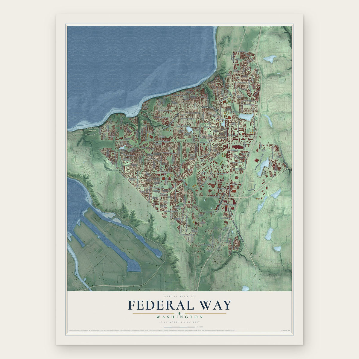
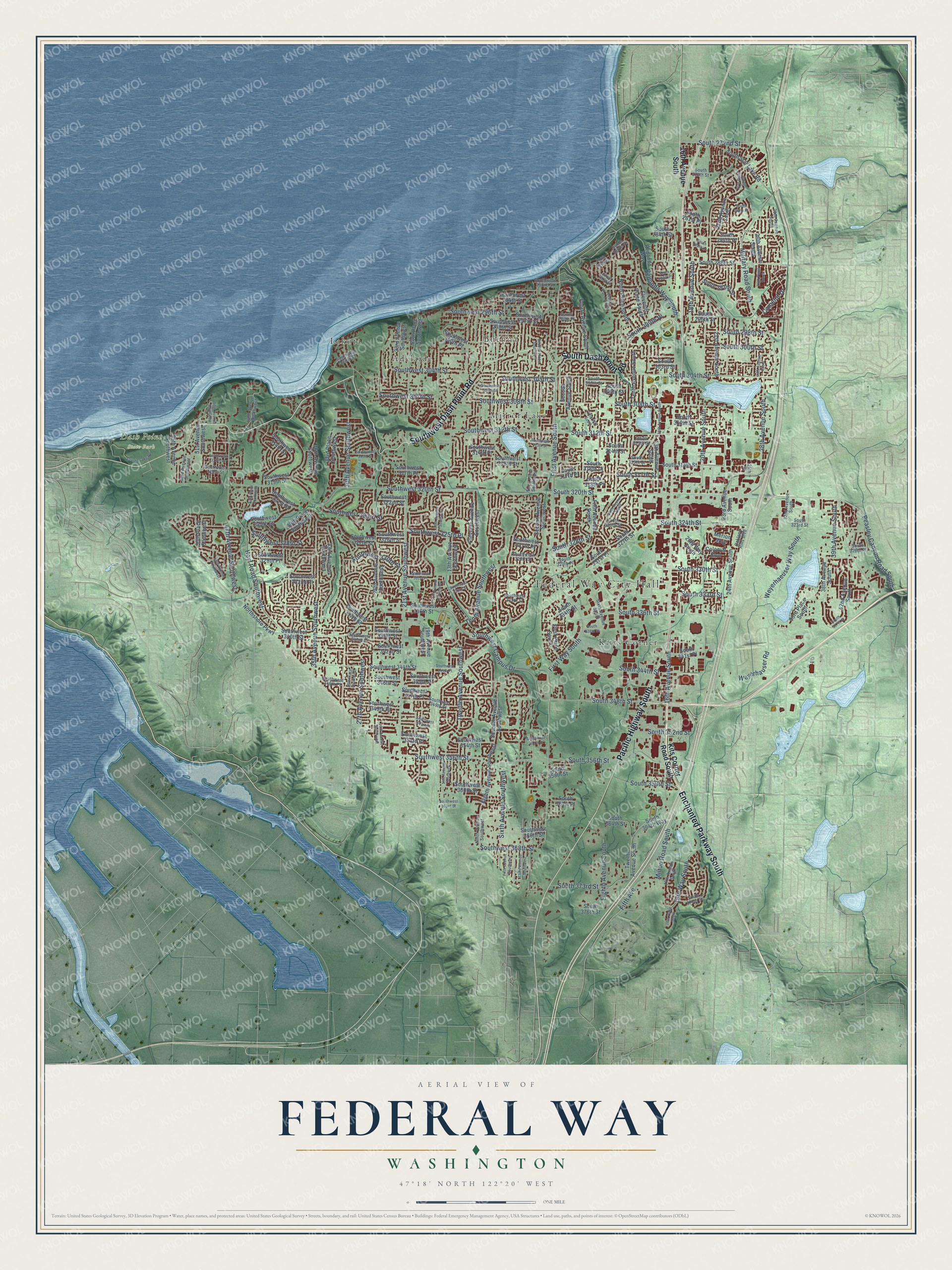
A new map of Federal Way, Washington, made in 2026 and printed to order on thick archival matte paper.
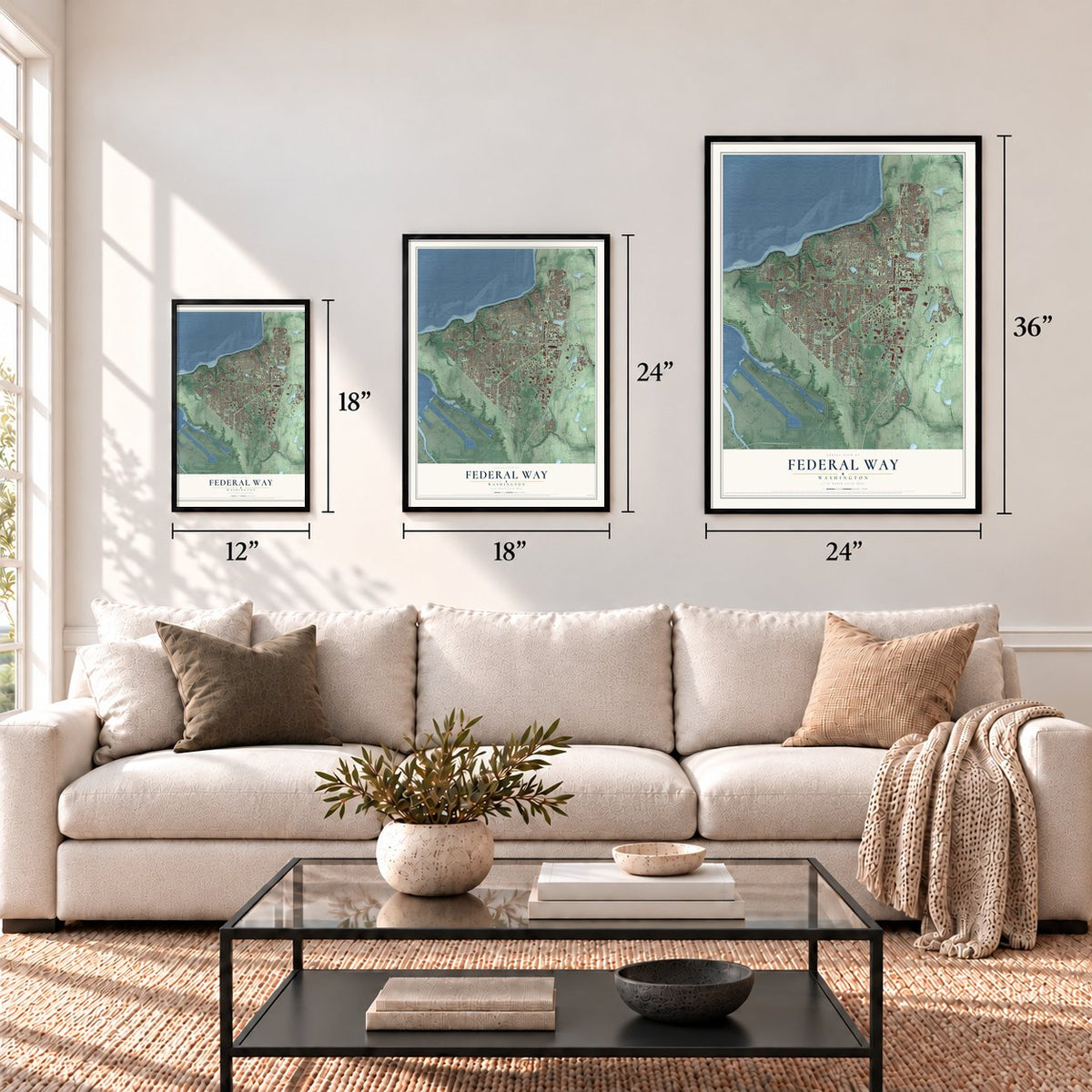
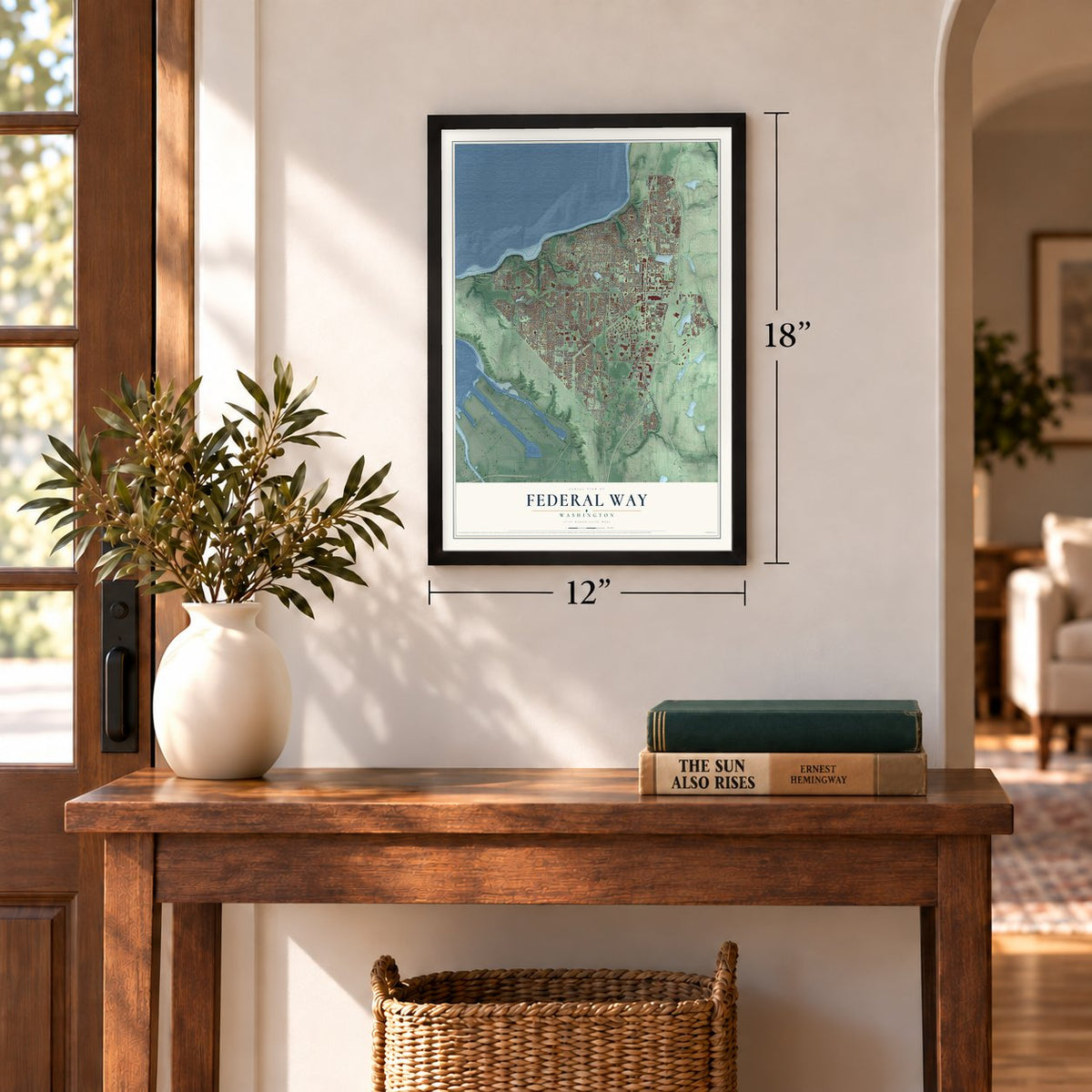
12" x 18" Archival Matte Print
A Map of Home. A Work of Art.
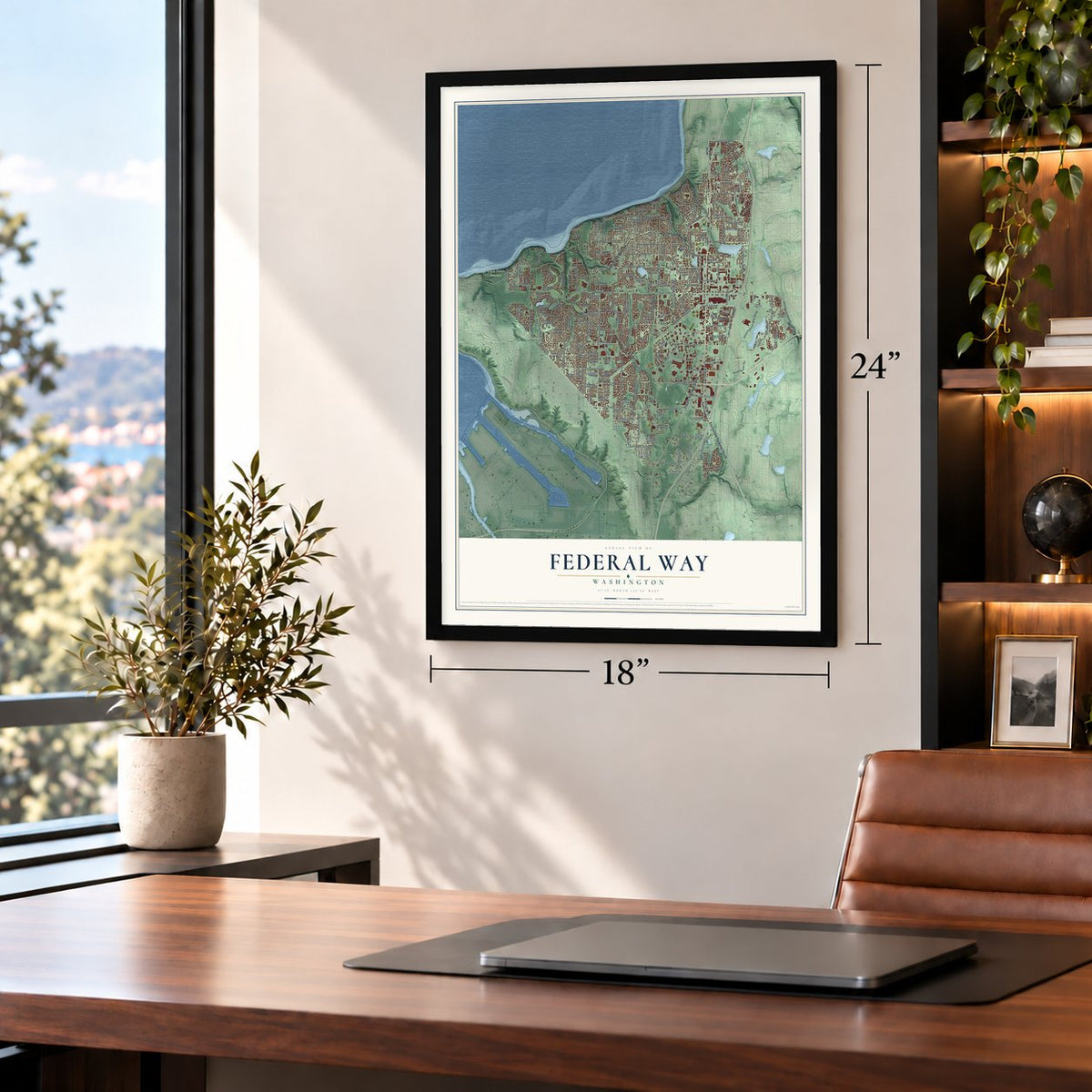
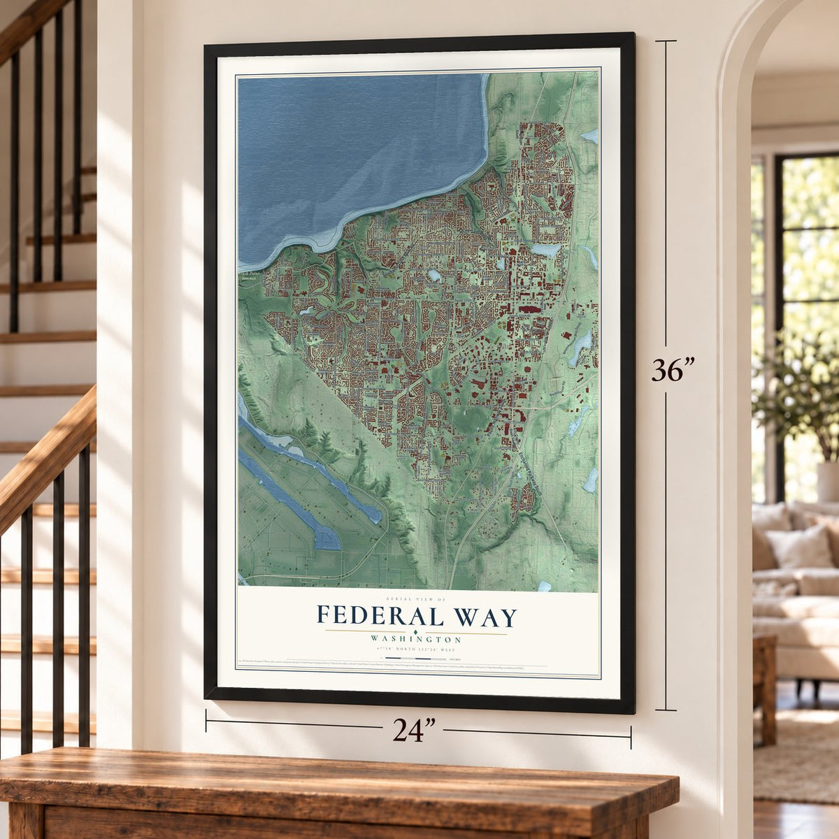
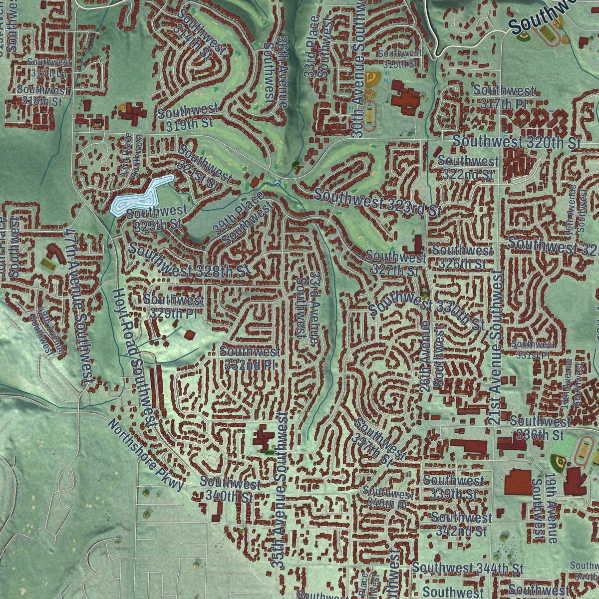
Explore Federal Way, Washington from a whole new perspective. Created using aerial imagery and detailed geographic data, this map captures Federal Way building by building, with labeled streets, familiar landmarks, and shaded topographical relief that highlights the natural contours of the landscape.
Combining modern data with the timeless character of a vintage atlas, this map is just as interesting up close as it is beautiful on the wall. Whether you grew up in Federal Way, spent memorable years there, or call it home today, this unique map is a great way to celebrate a place that means something to you. Zoom in on the preview to look for your street, and then order a print to put your memories on the wall.
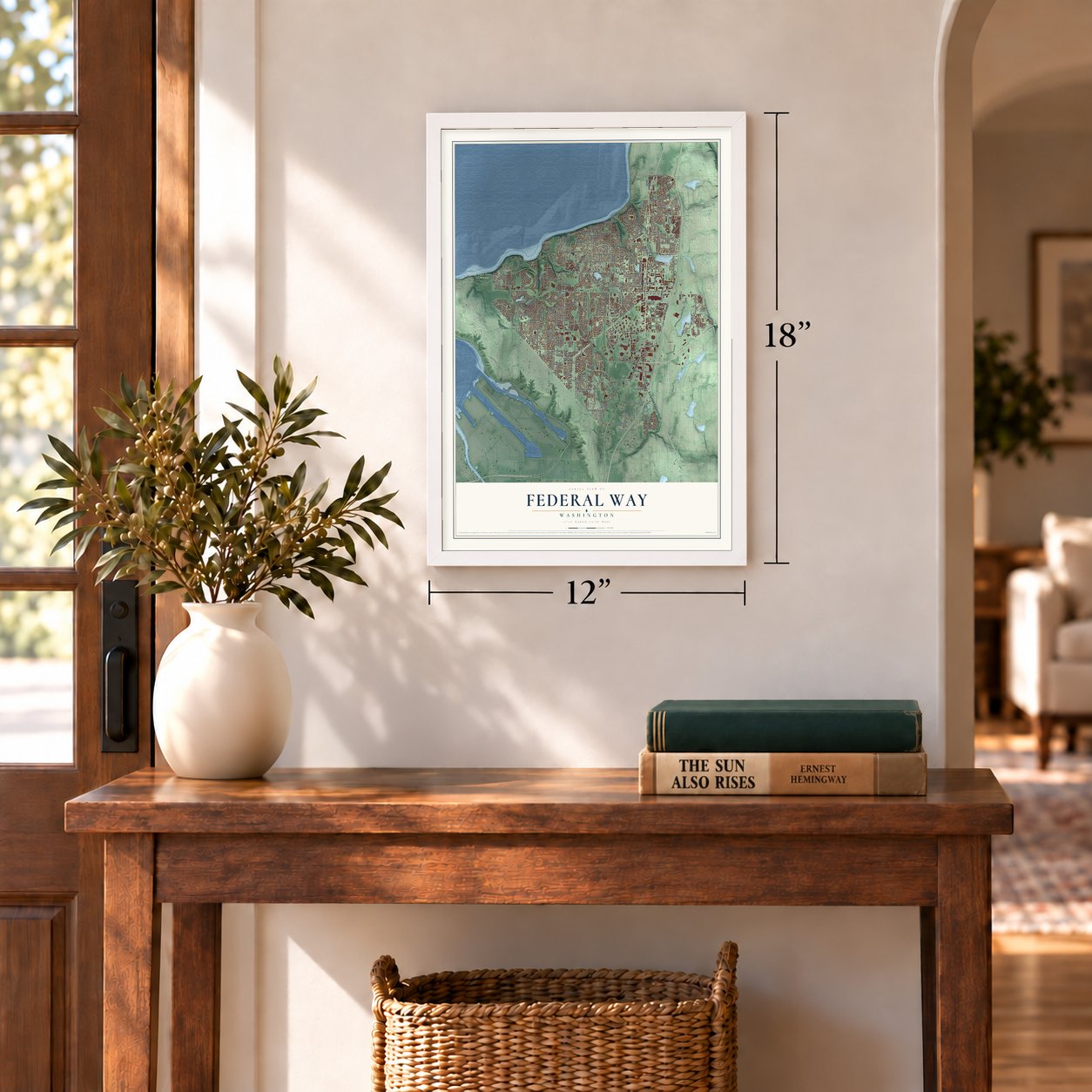
Three ways to hang it
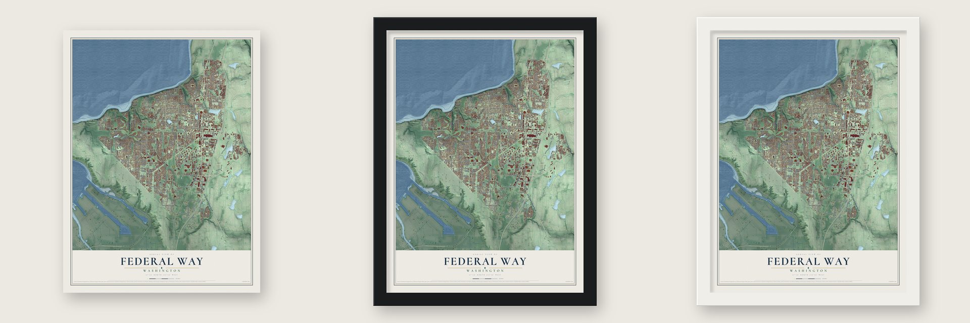
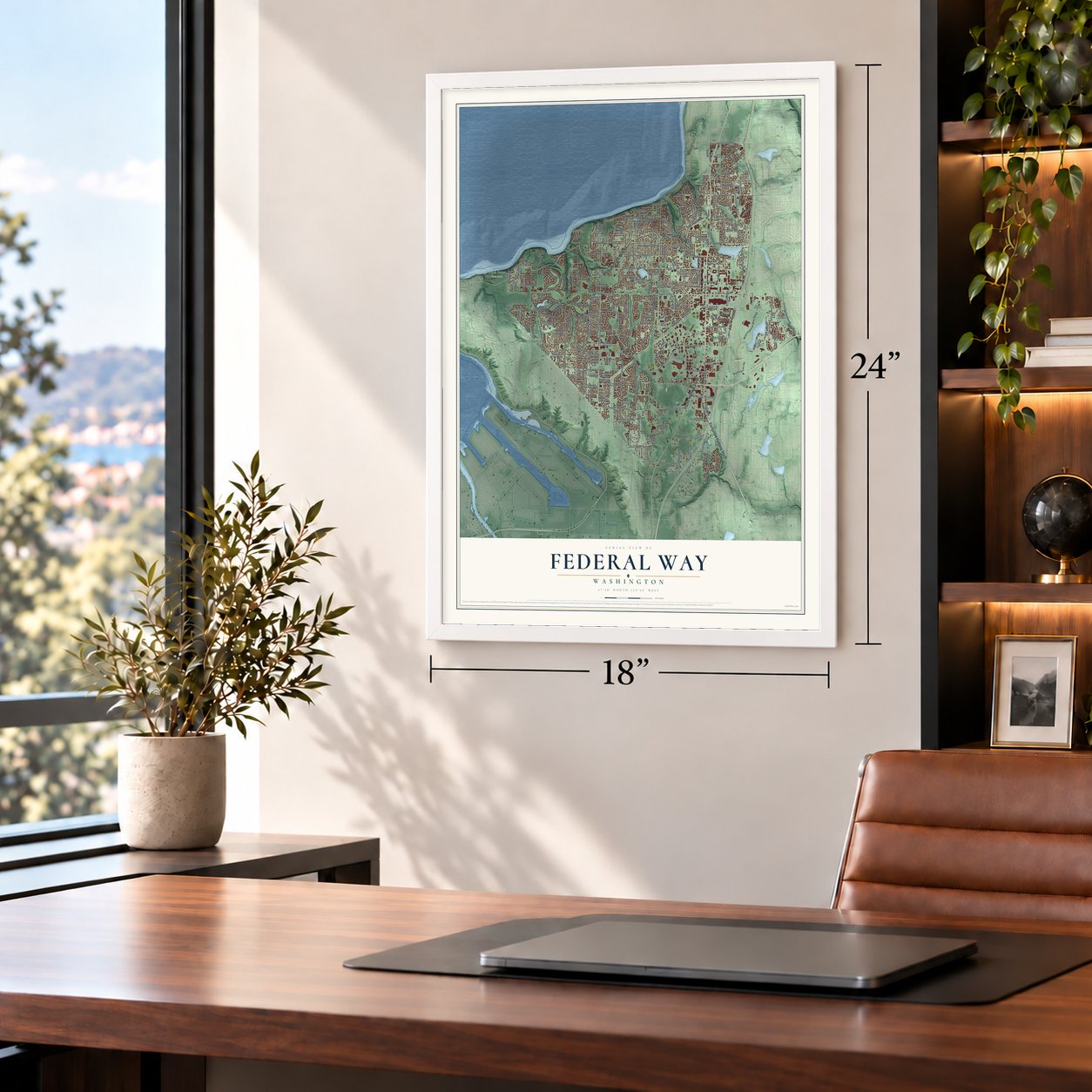
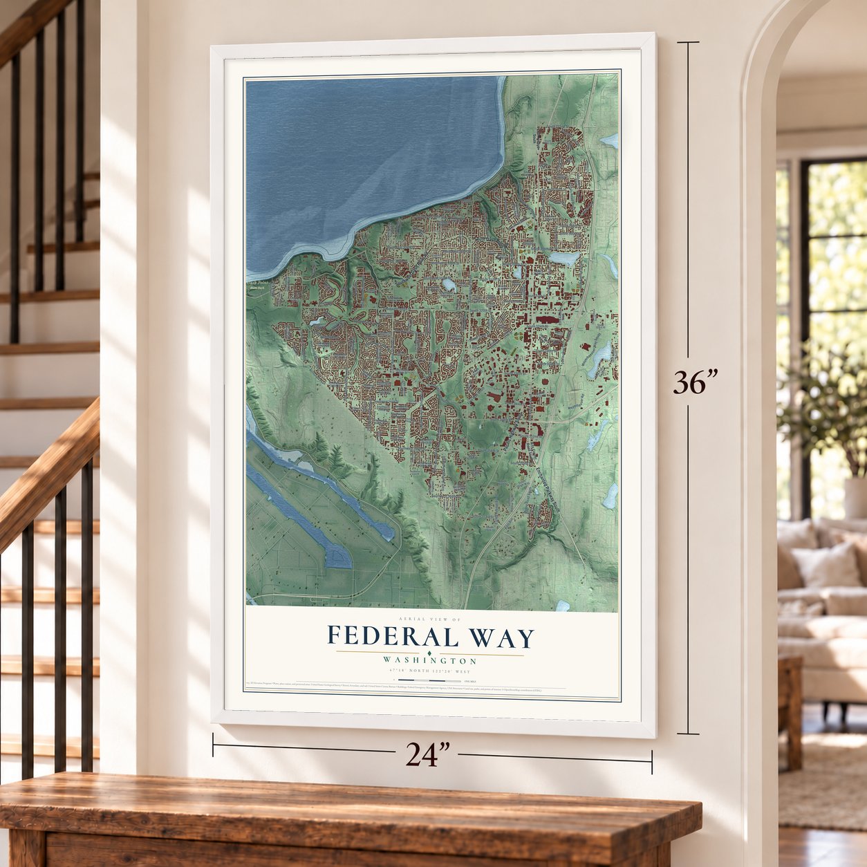
Unframed archival matte, a black wood frame or a white wood frame.
Up close
Geography Worth Displaying
This map was created using accurate cartographic data and authoritative geographic sources, including the U.S. Geological Survey and the Census Bureau. The map brings together terrain, waterways, roads, and building detail. The majority of the streets are labeled, houses are accurately depicted, and the topography is derived from government sources. Combining local data with carefully composed color and shading leads to this beautifully detailed Federal Way artwork for your wall.
Rather than simply showing street outlines, we’ve included as many of the street names as we could reasonably fit on the map while keeping their names legible. Zoom in on the high resolution preview to see exactly what’s on the map. We truly set out to create a statement piece for anyone who loves Federal Way. So whether it’s for you, or a gift for someone you love, we hope this map of Federal Way brings back fond memories.
Read the story behind this map of Federal Way, Washington from 2026.

About Federal Way, Washington
Federal Way is a city of 101,030 people in King County, 25 miles south of Seattle. It began as a logging settlement, and Sam Stone took up the first homestead in 1871, near today's Redondo. In 1929 five school districts merged into School District No. 210, which took the name Federal Way from U.S. Route 99, the federal highway between Seattle and Tacoma. Its new high school opened in 1930, and in the early 1950s the local chamber of commerce began using the name too.
Motels and restaurants opened along the Pacific Highway in the 1940s and 1950s to serve the rising number of drivers. Interstate 5 opened through the area in October 1962 and took over as the main north-south route, and new homes followed for people who worked in Seattle. Voters turned down becoming a city in 1971, 1981 and 1985, then approved it on February 28, 1990, and the incorporation was made official at the Sportsworld Lanes bowling alley.
- A mall with its own ridesFederal Shopping Way, the area's first shopping mall, opened in 1955 with a small amusement park called Santafair and an Old World Square of copied European buildings. In the 1960s David Denny's log cabin and a Catholic church from the Muckleshoot Reservation were moved there. The rides were gone by the 1980s, and the mall was torn down in 1995 to make way for the Pavilions Centre.
- The city's oldest buildingThe Barker Cabin, built in 1883, is the oldest known building in Federal Way and stands by West Hylebos Wetlands Park. Next to it is the Denny Cabin, 22 by 22 feet, which David Denny built in 1889 as a real-estate office from trees cut on Seattle's Queen Anne Hill. It was moved here from the mall and restored by the local historical society.
- Weyerhaeuser, 1971 to 2016In 1971 the timber company Weyerhaeuser opened its headquarters on land east of Interstate 5. Its grounds later became home to the Rhododendron Species Foundation and Botanical Garden, along with the Pacific Bonsai Museum. The company stayed in Federal Way until it moved to Seattle in 2016.
- Wild Waves since 1977Wild Waves Theme & Water Park opened on the south side of the city in 1977, and it is the only permanent amusement park in the Seattle area. Six Flags bought it in December 2000 and sold it in April 2007 for $31.75 million.
- An Olympic-size poolThe Weyerhaeuser King County Aquatic Center has an Olympic-size swimming pool. It hosted swimmers at the 1990 Goodwill Games and at the 2012 US Olympic Swim & Dive Trials.
Find your street
Names on the Federal Way map
Every name below is printed on this map. Look for your street, your school, the park where you played, or the pond down the road.
Places and landmarks7
- Federal Way City Hall
- Dash Point State Park
- Adelaide
- Buenna
- Kitts Corner
- Lakota
- Mirror Lake
Streets and roads224
- Enchanted Parkway South
- Pacific Highway South
- Southwest Dash Point Road
- South Dash Point Road
- First Avenue South
- South 336th Street
- 16th Avenue South
- Southwest 325th Place
- First Way South
- 47th Avenue Southwest
- South 328th Street
- South 324th Street
- South 300th Street
- Southwest 368th Street
- South 330th Street
- 28th Avenue South
- South 272nd Street
- South 348th Street
- South 317th Street
- South 298th Street
- 19th Way South
- Southwest 312th Street
- South 299th Place
- 21st Avenue Southwest
- Southwest 320th Street
- Military Road South
- 20th Avenue South
- Eighth Avenue South
- Sixth Avenue Southwest
- Twelfth Avenue Southwest
Show all 224 streets
- South 320th Street
- 30th Avenue Southwest
- Weyerhaeuser Way South
- Tenth Avenue Southwest
- South 312th Street
- 18th Avenue South
- Southwest Campus Drive
- Southwest 323rd Street
- South 304th Street
- Southwest 304th Street
- Hoyt Road Southwest
- South 308th Street
- Southwest 330th Street
- South 333rd Street
- 35th Avenue Southwest
- Southwest 356th Street
- 27th Avenue Southwest
- South 356th Street
- Weyerhauser Road
- Milton Road South
- Southwest 308th Street
- Southwest 307th Street
- Southwest 328th Street
- Peasley Canyon Road South
- South 344th Street
- Southwest 305th Street
- Redondo Way South
- 39th Avenue South
- South 359th Street
- South 373rd Street
- Camelot Drive
- South 352nd Street
- Southwest 296th Street
- Fifth Avenue
- Kits Corner Road South
- Eighth Avenue Southwest
- 23rd Avenue South
- Seventh Avenue Southwest
- Twelfth Avenue South
- South 364th Way
- Second Avenue Southwest
- 23rd Avenue Southwest
- 26th Avenue South
- Second Avenue South
- 51st Avenue Southwest
- South 327th Street
- Merion Way
- South 284th Street
- Southwest 347th Place
- South 303rd Street
- South 284th Place
- Eleventh Avenue Southwest
- 36th Avenue Southwest
- First Place South
- Fourth Avenue South
- Eleventh Place South
- 26th Avenue Southwest
- 21st Avenue South
- Tenth Avenue South
- Southwest 336th Street
- 22nd Avenue South
- 13th Avenue Southwest
- 13th Avenue South
- South 288th Street
- Southwest 327th Street
- South Star Lake Road
- Southwest 340th Street
- Southwest 321st Street
- 33rd Place Southwest
- Southwest 332nd Place
- Southwest 314th Street
- 19th Avenue Southwest
- Southwest 339th Street
- Southwest 326th Street
- Southwest 322nd Street
- Southwest 344th Street
- 24th Avenue South
- South 316th Street
- Southwest 346th Street
- Southwest 342nd Street
- South 314th Street
- 33rd Avenue Southwest
- Southwest 316th Street
- Fifth Avenue South
- Ninth Place South
- Southwest 317th Place
- Southwest 325th Street
- Southwest 349th Place
- Southwest 327th Place
- Southwest 314th Place
- 38th Avenue South
- South 341st Place
- South 316th Place
- Southwest 337th Street
- South 331st Place
- 20th Place Southwest
- Southwest 360th Street
- South 376th Street
- Southwest 300th Place
- South 334th Street
- 50th Place Southwest
- South 310th Street
- 20th Way South
- 39th Place Southwest
- Southwest 329th Place
- Southwest 354th Street
- 33rd Place South
- 42nd Avenue South
- South 296th Street
- South 292nd Street
- Southwest 345th Place
- Northshore Parkway
- South 306th Street
- Southwest 366th Street
- Southwest 298th Street
- Southwest 294th Street
- 55th Avenue Southwest
- Southwest 353rd Place
- Southwest 319th Street
- South 318th Place
- Southwest 297th Street
- South 361st Place
- South 317th Place
- Colonial Boulevard
- Redondo Way
- South 364th Street
- South 358th Street
- South 281st Place
- Ninth Avenue Southwest
- Sixth Avenue South
- Southwest 335th Street
- South 315th Street
- South 286th Street
- Third Place Southwest
- Southwest 318th Street
- South 296th Place
- South 276th Street
- South 325th Street
- 53rd Avenue Southwest
- Southwest 329th Street
- Oakland Hills Boulevard
- South 375th Street
- 29th Avenue South
- 17th Avenue South
- 44th Avenue Southwest
- Southwest 340th Place
- 32nd Avenue South
- Southwest 349th Street
- Southwest 346th Place
- South 305th Street
- South 323rd Street
- South 313th Street
- South 326th Place
- Southwest 292nd Street
- South 329th Place
- Southwest 302nd Place
- 25th Place
- 16th Avenue Southwest
- Fifth Avenue Southwest
- Southwest 344th Place
- South 280th Place
- 25th Avenue Southwest
- Southwest 333rd Street
- Third Avenue Southwest
- Ninth Avenue South
- 14th Avenue Southwest
- Second Place Southwest
- 17th Avenue Southwest
- Crystal Lake Road
- Southwest 313th Street
- Seventh Place South
- 14th Avenue South
- 28th Place Southwest
- Southwest 331st Place
- 27th Avenue South
- 18th Place South
- 43rd Place Southwest
- Southwest 315th Street
- Southwest 351st Street
- South 291st Street
- 26th Place South
- 25th Drive South
- Southwest 306th Street
- 49th Avenue Southwest
- South 337th Street
- 50th Avenue Southwest
- South 285th Place
- Fifth Way South
- Southwest 317th Lane
- South 290th Place
- Southwest 363rd Street
- Southwest 357th Place
- South 288th Lane
- South 338th Street
Names are listed as they appear on the printed map. Zoom into the product photos to find them.
The art of mapping a place
How This Map Was Made
Real places. Remarkable detail. Discover the layers that turn geographic data into a map of home.

The view from above
Aerial imagery reveals the character of the land: woodland, open fields, and the patterns of a place.

The shape of the land
Elevation data brings hills, valleys, and subtle changes in the landscape into view.

The details of home
Roads, waterways, and building footprints come together to make the map feel unmistakably local.

Geography becomes art
Considered color, shading, and typography bring the layers together in a map made for your wall.


Process illustrated with Mendon, Massachusetts. Aerial imagery: USDA NAIP. Terrain: USGS 3D Elevation Program. Map details and finished artwork: KNOWOL.
The Details
About This Print
Choose an archival matte print, or a black or white Ayous wood frame. The archival matte print is unframed.
Select your size and finish above to see the matching product image and price.
Materials & Craftsmanship
A contemporary map with the character of a classic atlas, printed on archival matte paper. Optional frames are made from Ayous wood.
Your printed map does not include the watermark shown in the full-map preview.
Shipping & Delivery
Free shipping within the United States. Every print is made to order in the USA.
Buying a gift? Add a note in your cart and we'll include it. We never put prices in the package.
Prints ship within 2 to 3 business days. Allow 7 to 10 days total from ordering for delivery. Timing may vary during holidays or periods of high order volume.
Read our shipping policy.
Returns and damaged prints
Each print is made to order. Change-of-mind refunds are not available after production.
If your print arrives damaged, misprinted or incorrect, contact support@knowol.com within 30 days of receiving it. Include your order number, photos and a description of the issue.
Read our full refund and replacement policy. For questions about your order, email support@knowol.com.
Find your town
Looking for another city?
Find a map of home in our Washington collection, or any town in the country.
Nearby
Maps of towns near Federal Way
Know someone from one of these towns? Their map makes a great gift.
 Lakeland North
, Washington
From $39.99See the map
 Lakeland South
, Washington
From $39.99See the map
 Fife Heights
, Washington
From $39.99See the map
More maps nearby: Dash Point, Milton, Algona, Browns Point and Pacific.