
Search for another town




Free U.S. delivery 7 to 10 days after you order
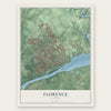
Florence, Alabama Map Art
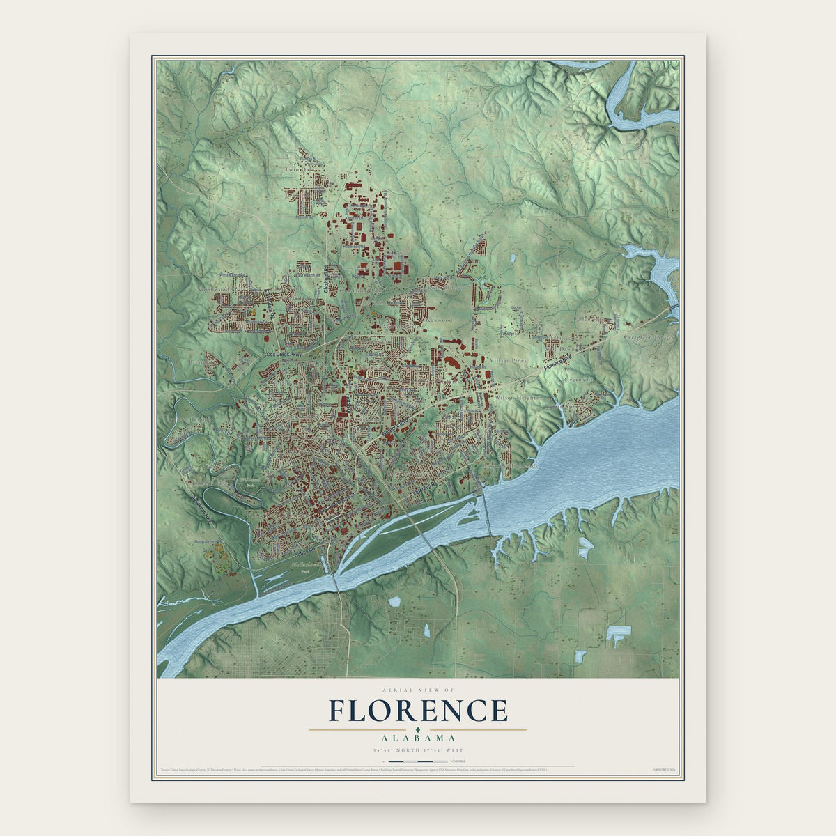
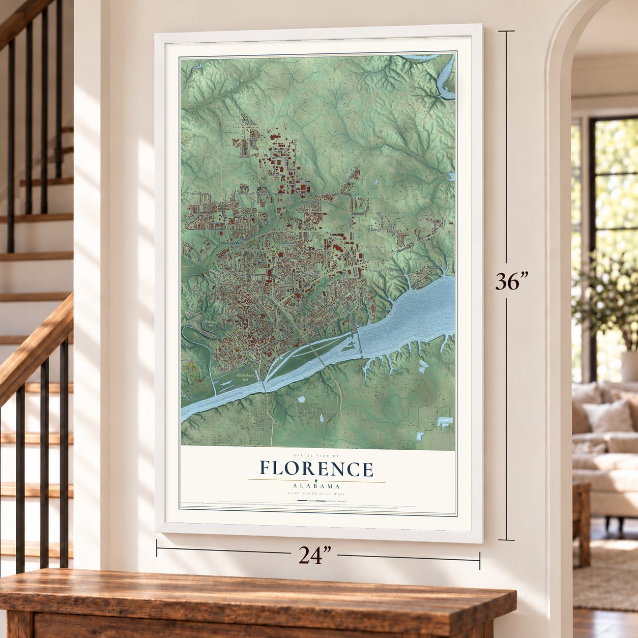
A new map of Florence, Alabama, made in 2026 and printed to order on thick archival matte paper.
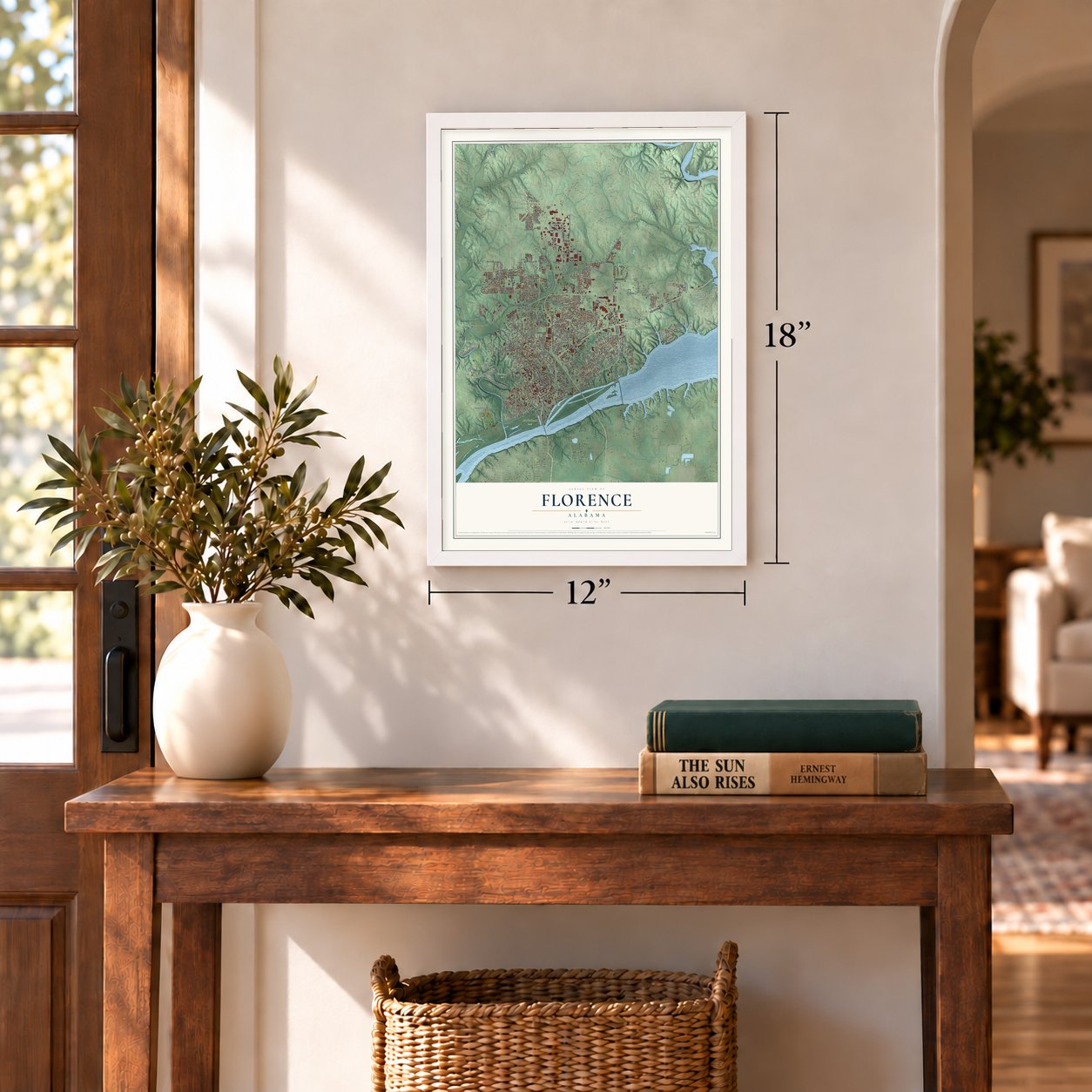
12" x 18" Archival Matte Print
A Map of Home. A Work of Art.
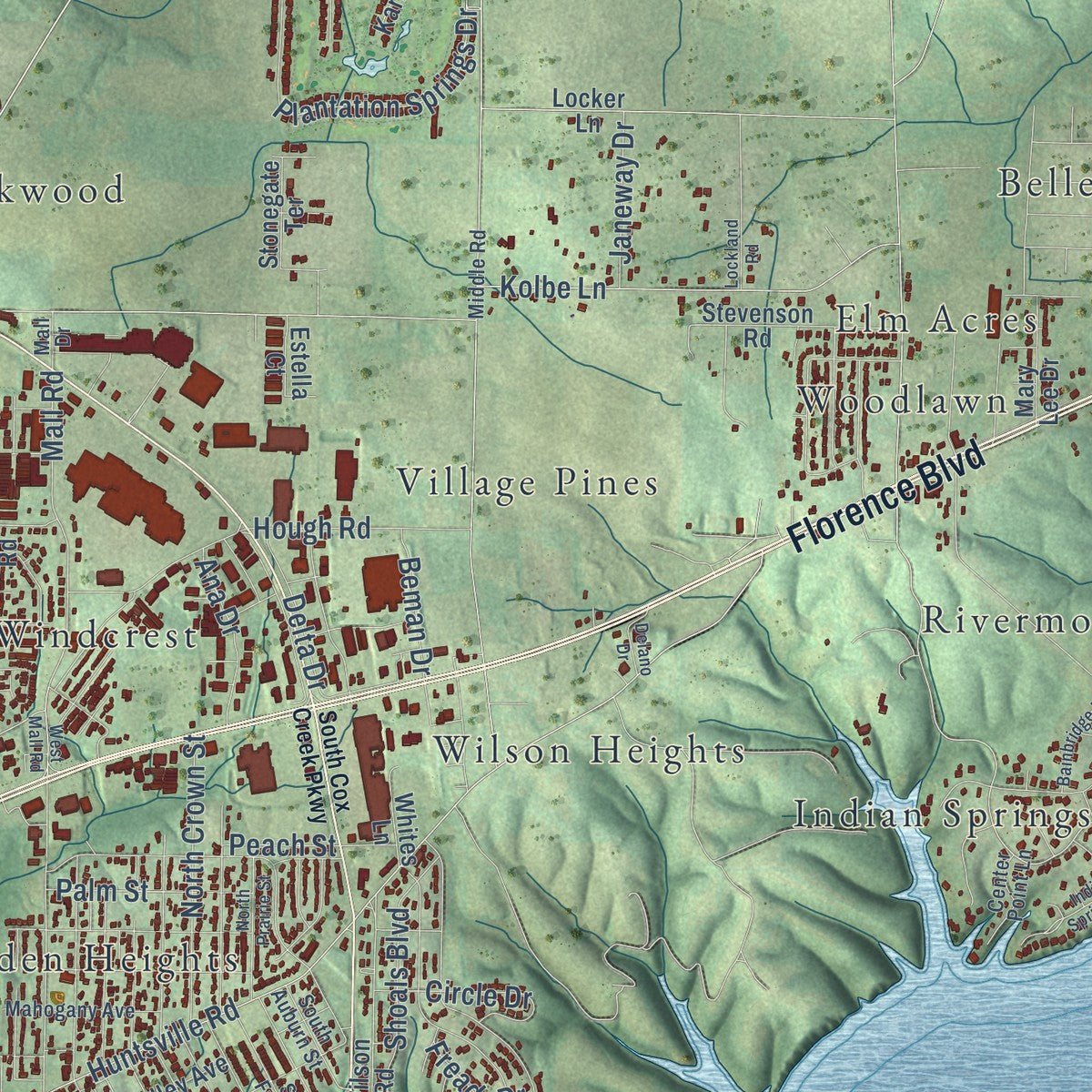
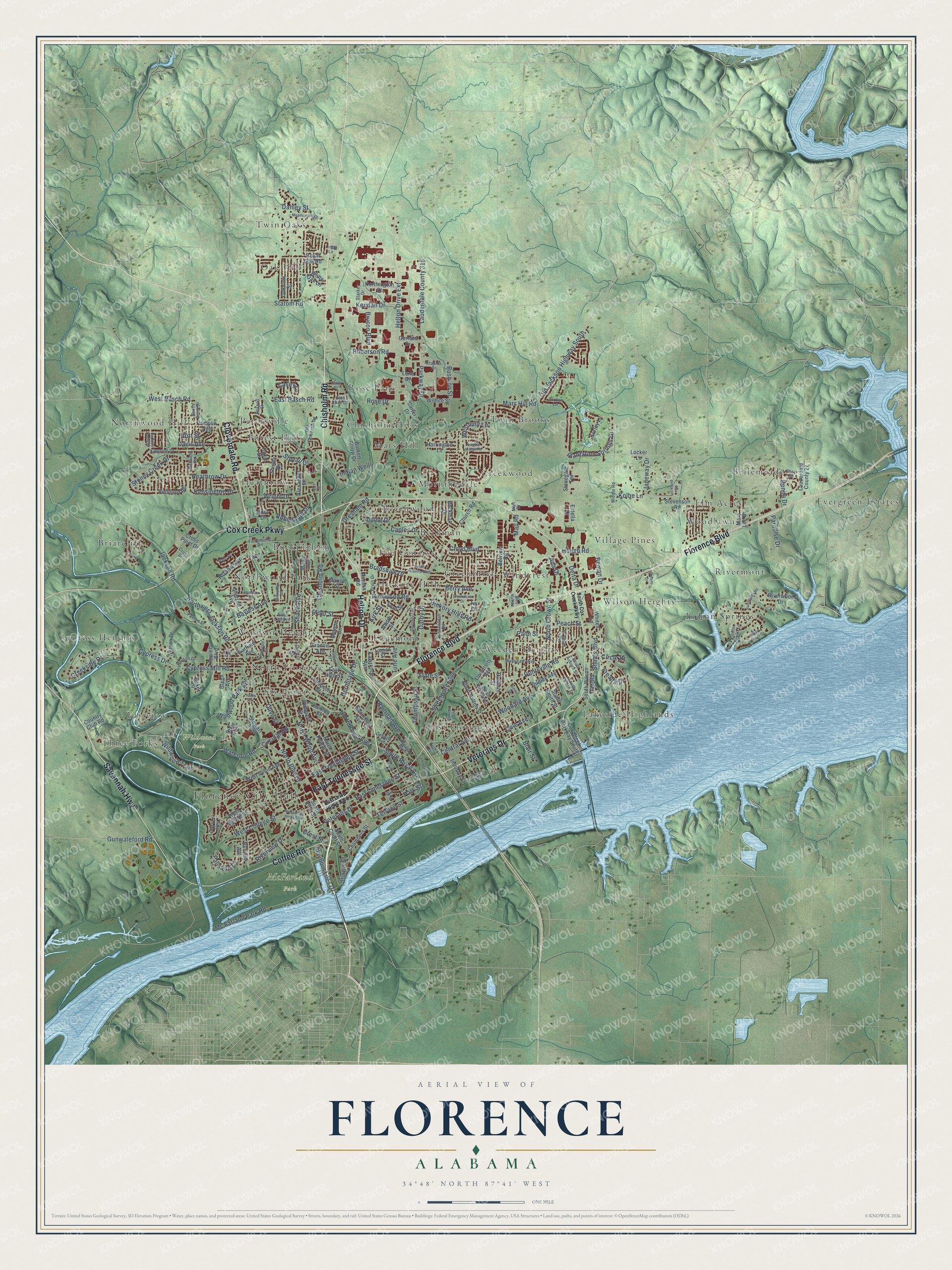
Explore Florence, Alabama from a whole new perspective. Created using aerial imagery and detailed geographic data, this map captures Florence building by building, with labeled streets, familiar landmarks, and shaded topographical relief that highlights the natural contours of the landscape.
Combining modern data with the timeless character of a vintage atlas, this map is just as interesting up close as it is beautiful on the wall. Whether you grew up in Florence, spent memorable years there, or call it home today, this unique map is a great way to celebrate a place that means something to you. Zoom in on the preview to look for your street, and then order a print to put your memories on the wall.
Three ways to hang it
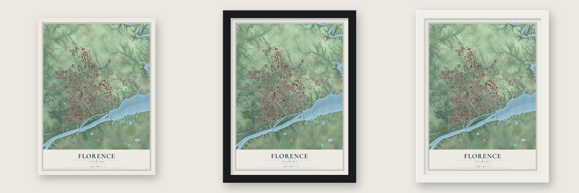
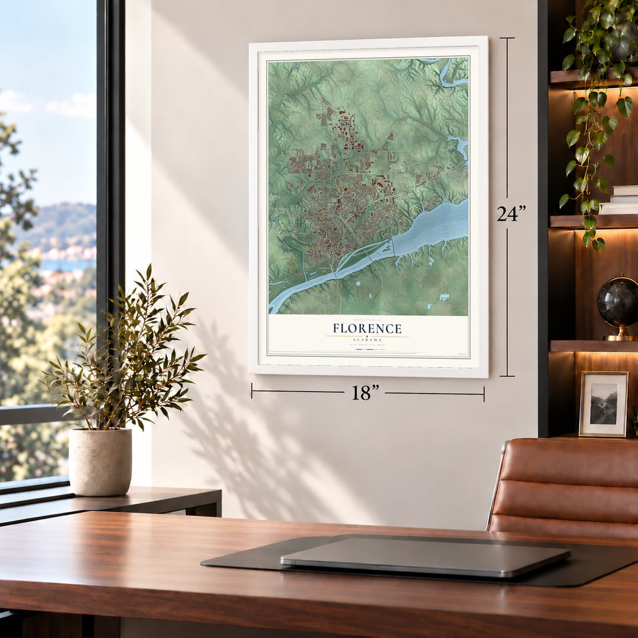
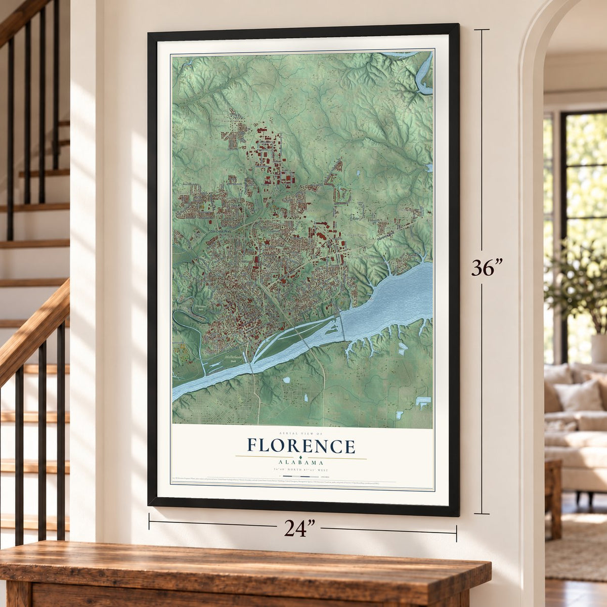
Unframed archival matte, a black wood frame or a white wood frame.
Up close
Geography Worth Displaying
This map was created using accurate cartographic data and authoritative geographic sources, including the U.S. Geological Survey and the Census Bureau. The map brings together terrain, waterways, roads, and building detail. The majority of the streets are labeled, houses are accurately depicted, and the topography is derived from government sources. Combining local data with carefully composed color and shading leads to this beautifully detailed Florence artwork for your wall.
Rather than simply showing street outlines, we’ve included as many of the street names as we could reasonably fit on the map while keeping their names legible. Zoom in on the high resolution preview to see exactly what’s on the map. We truly set out to create a statement piece for anyone who loves Florence. So whether it’s for you, or a gift for someone you love, we hope this map of Florence brings back fond memories.
Read the story behind this map of Florence, Alabama from 2026.
About Florence, Alabama
Florence is a city of 40,184 people and the county seat of Lauderdale County, set on a hill above the Tennessee River in northwest Alabama. The land belonged to the Chickasaw Nation until it was ceded to the federal government in 1816. Gen. John Coffee, John McKinley and James Jackson were among the trustees of the Cypress Land Company, which bought the site because it sat on Jackson's Military Road at the foot of the dangerous Muscle Shoals rapids.
Coffee hired a young Italian engineer, Ferdinand Sannoner, to survey the town, and he liked the plan so much that he let Sannoner pick the name. Sannoner chose Florence, after the Tuscan city. The town was established on March 12, 1818, and lots went on sale that July and again in 1823, with 180 buyers that included Andrew Jackson. The legislature incorporated Florence on January 7, 1826.
- Alabama's first chartered collegeMethodists opened LaGrange College near Leighton in 1830. In 1855 the school moved across the river to Florence, but it could not keep the old name, so in 1856 it was chartered as Florence Wesleyan University, with its main building at Wesleyan Hall. The Civil War closed it in 1865. The church deeded it to the state in 1872, it became Florence State Normal School, and after several more names it became the University of North Alabama in 1972.
- Rebuilt after the Civil WarBefore the war Florence was among the Southeast's earliest textile towns, with an iron foundry, lumber, cotton and wool mills, and the Globe Factory along Cypress Creek. Union and Confederate forces traded the town back and forth, wrecking nearly all of its industry. It recovered: the population grew from 1,600 in 1865 to about 6,000 by 1887, and the Florence Wagon Company, opened in 1889, became the South's second-largest wagon maker.
- W. C. Handy's birthplaceW. C. Handy, the father of the blues, was born in a log cabin in Florence in 1873. Before he died in 1958, he gave his personal papers and other belongings to the W. C. Handy Home and Museum, which stands on the site of his birth. The city celebrates him every summer with the W. C. Handy Music Festival.
- Frank Lloyd Wright's Alabama houseThe Rosenbaum House at 601 Riverview Drive, built in 1939, is the only building in Alabama designed by Frank Lloyd Wright. It was the first house in Florence with a carport and heating under the floors, and it is open for tours six days a week.
Find your street
Names on the Florence map
Every name below is printed on this map. Look for your street, your school, the park where you played, or the pond down the road.
Places and landmarks42
- Florence City Hall
- McFarland Park
- Wildwood Park
- Beckman
- Beechwood
- Bellemeade
- Briarcliff
- Buckingham
- Chisholm Hills
- Creekwood
- Cypress Heights
- East Florence
Show all 42 places
- Edgemont
- Elm Acres
- Evergreen Estates
- Fairview
- Forest Hills
- Greenbrier
- Heathrow
- Hickory Hills
- Indian Springs
- Lakeside Highlands
- Mars Hill
- Morningdale
- North Florence
- Northwood Hills
- Northwood Park
- Oak Hill
- Petersville
- Rivermont
- Rose Park
- Six Points
- The Cedars
- Three Forks
- Twin Brooks
- Twin Oaks
- Village Pines
- Weeden Heights
- Wilson Heights
- Windcrest
- Windsor Heights
- Woodlawn
Streets and roads230
- Florence Boulevard
- Chisholm Road
- Veterans Drive
- Cloverdale Road
- East Tennessee Street
- Helton Drive
- Cox Creek Parkway
- Savannah Highway
- Coffee Road
- North Royal Avenue
- South Royal Avenue
- Terrace Street
- North Wood Avenue
- Waterloo Road
- Old Jackson Highway South
- Illinois Street
- Sweetwater Avenue
- Hough Road
- Riverview Drive
- Northwest Jackson Road
- Circular Road
- Jackson Road
- Lauderdale County 315
- East Tombigbee Street
- Darby Drive
- Cole Avenue
- Mall Road
- Statom Road
- Hermitage Drive
- Mars Hill Road
Show all 230 streets
- Helton Drive Extension
- Huntsville Road
- Railroad Avenue
- North Pine Street
- Woodard Avenue
- Plantation Springs Drive
- Cypress Mill Road
- Wildwood Park Road
- Gresham Road
- Mc Farland Park Road
- West College Street
- Central Avenue
- East Limestone Street
- Rickwood Road
- Stoney Creek Drive
- Shade Avenue
- Heathrow Drive
- Creekside Drive
- Roberson Road
- Shoals Boulevard
- Wright Drive
- Kolbe Lane
- Robinhood Drive
- Hickory Hills Road
- Tune Avenue
- Cloyd Boulevard
- Kendall Drive
- East Rasch Road
- Bradshaw Drive
- Cypress Drive
- Wildwood Trail
- Westbury Lane
- North Crown Street
- Kensington Drive
- Rose Drive
- Parkway Drive
- Palisade Drive
- Thompson Street
- Indian Wells
- Delta Drive
- Berry Avenue
- Danley Street
- Circle Drive
- Rushton Street
- Davis Avenue
- West Rasch Road
- Stovall Drive
- Blair Street
- Clayborn Liles Drive
- Park Street
- Bayless Avenue
- Gunwaleford Road
- Crest Street
- Bryson Boulevard
- Paradise Drive
- Elder Street
- Roberts Lane
- Ana Drive
- Janeway Drive
- Alpine Drive
- Peach Street
- Caples Drive
- Olive Street
- Benita Drive
- State Street
- Beman Drive
- Britt Street
- Freada Drive
- Palm Street
- Casey Lane
- Kirk Street
- Cox Creek Parkway South
- South Court Street
- Carver Heights
- North Poplar Street
- Church Road
- Sherrod Avenue
- West Irvine Avenue
- West Mobile Street
- Roxie Drive
- Maple Avenue
- Dudley Avenue
- Belview Road
- North Patton Street
- Sannoner Avenue
- Dixie Avenue
- Simpson Street
- South Wilson Dam Road
- Lawrence Avenue
- Malone Circle
- Stewart Avenue
- Nelson Drive
- Martin Street
- South Pine Street
- Pamplin Avenue
- White Oak Lane
- Stevenson Road
- South Smith Street
- Karley Lane
- Ford Street
- Broken Arrow Drive
- Industry Street
- Garfield Avenue
- Beverly Avenue
- Reddoch Road
- Shirley Drive
- Oakview Street
- Royal Oak Road
- University Avenue
- Baker Drive
- Country Club Road
- Northington Court
- Chambers Street
- Lauderdale County 27
- Carter Drive
- Alexander Street
- Beckman Drive
- Appleby Boulevard
- Prospect Street
- Harrington Lane
- Riverwood Drive
- Mary Lee Drive
- Cross Point Drive
- Wilhite Street
- East High Street
- Baldwin Street
- Locker Lane
- Lane Drive
- Marion Street
- Estella Court
- Stonegate Terrace
- Francis Avenue
- Dora Drive
- Gerrard Drive
- Glenn Avenue
- Whites Lane
- Ivy Lane
- Lamar Street
- Access Road
- Andre Street
- Mall Drive
- Old Chisholm Road
- Houston Street
- Fairground Road
- Kingston Drive
- Virginia Avenue
- Georgia Avenue
- Shenandoah Road
- Parc Place
- Jordan Lane
- Mahogany Avenue
- South Fulton Street
- Middle Road
- Paxton Street
- Starkey Drive
- Kendrick Street
- Bruin Drive
- South Auburn Street
- Staples Drive
- North Kirkman Street
- South Scott Drive
- Henson Drive
- East Rose Drive
- Center Point Lane
- Vulcan Avenue
- Redfield Road
- East Lee Avenue
- Russell Street
- Aetna Street
- Cross Street
- Benji Road
- Lindy Lane
- East Drive Hicks Boulevard
- South Cox Creek Parkway
- West Drive Hicks Boulevard
- Indian Springs Drive
- West Mall Road
- Meadow Hill Drive
- Chickasaw Drive
- Knights Bridge Road
- McBurney Drive
- Plum Street
- Ridge Avenue
- Jones Street
- Courtney Avenue
- South Sequoia Boulevard
- Cypress Creek Drive
- North Prairie Street
- Hampton Avenue
- Blaze Drive
- Pickens Avenue
- Bainbridge Road
- Commerce Street
- James Street
- Elm Street
- Delano Drive
- Lockland Road
- Haley Avenue
- Wyers Drive
- Larry Street
Names are listed as they appear on the printed map. Zoom into the product photos to find them.
The art of mapping a place
How This Map Was Made
Real places. Remarkable detail. Discover the layers that turn geographic data into a map of home.

The view from above
Aerial imagery reveals the character of the land: woodland, open fields, and the patterns of a place.

The shape of the land
Elevation data brings hills, valleys, and subtle changes in the landscape into view.

The details of home
Roads, waterways, and building footprints come together to make the map feel unmistakably local.

Geography becomes art
Considered color, shading, and typography bring the layers together in a map made for your wall.


Process illustrated with Mendon, Massachusetts. Aerial imagery: USDA NAIP. Terrain: USGS 3D Elevation Program. Map details and finished artwork: KNOWOL.
The Details
About This Print
Choose an archival matte print, or a black or white Ayous wood frame. The archival matte print is unframed.
Select your size and finish above to see the matching product image and price.
Materials & Craftsmanship
A contemporary map with the character of a classic atlas, printed on archival matte paper. Optional frames are made from Ayous wood.
Your printed map does not include the watermark shown in the full-map preview.
Shipping & Delivery
Free shipping within the United States. Every print is made to order in the USA.
Buying a gift? Add a note in your cart and we'll include it. We never put prices in the package.
Prints ship within 2 to 3 business days. Allow 7 to 10 days total from ordering for delivery. Timing may vary during holidays or periods of high order volume.
Read our shipping policy.
Returns and damaged prints
Each print is made to order. Change-of-mind refunds are not available after production.
If your print arrives damaged, misprinted or incorrect, contact support@knowol.com within 30 days of receiving it. Include your order number, photos and a description of the issue.
Read our full refund and replacement policy. For questions about your order, email support@knowol.com.
Find your town
Looking for another city?
Find a map of home in our Alabama collection, or any town in the country.
Nearby
Maps of towns near Florence
Know someone from one of these towns? Their map makes a great gift.
 St. Florian
, Alabama
From $39.99See the map
 Underwood-Petersville
, Alabama
From $39.99See the map
 Sheffield
, Alabama
From $39.99See the map
More maps nearby: Muscle Shoals, Killen, Tuscumbia, Leighton and Littleville.