
Search for another town



Free U.S. delivery 7 to 10 days after you order
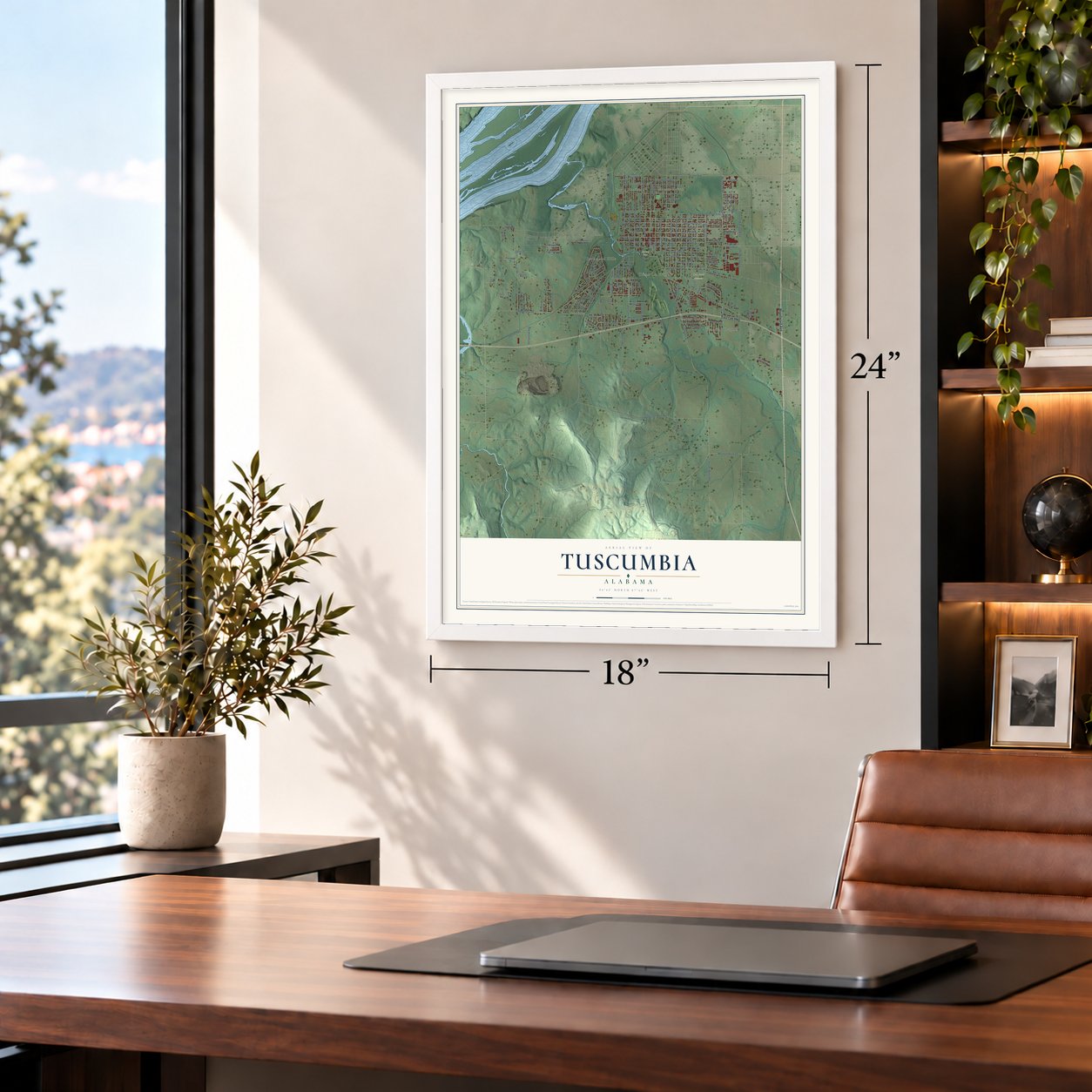
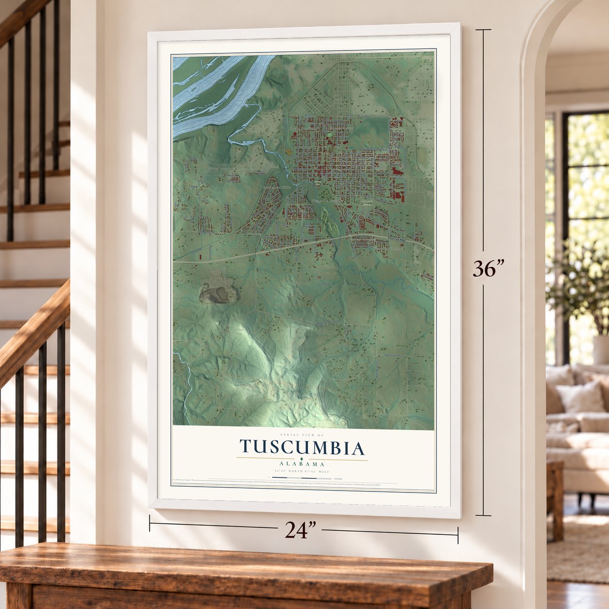
Tuscumbia, Alabama Map Art
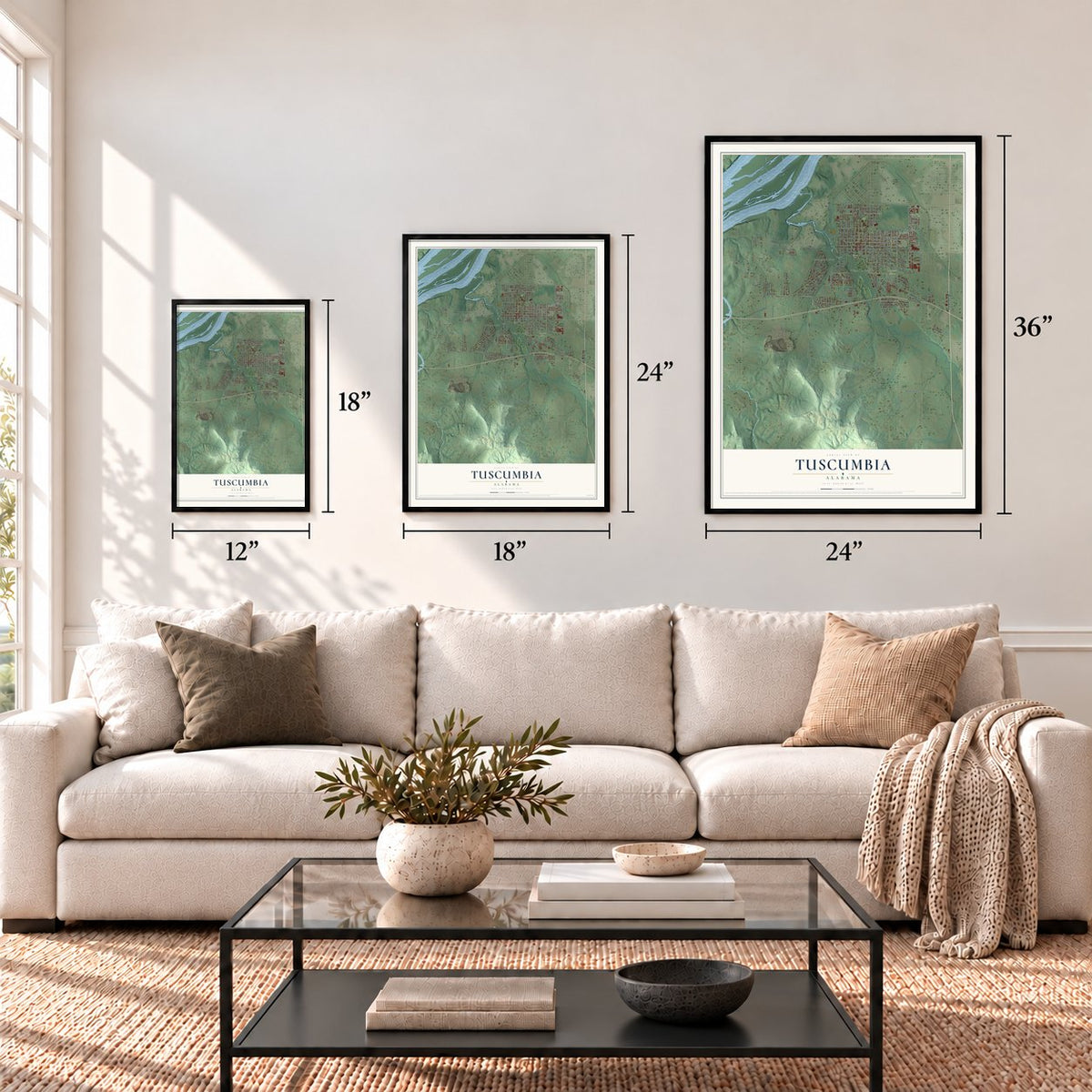
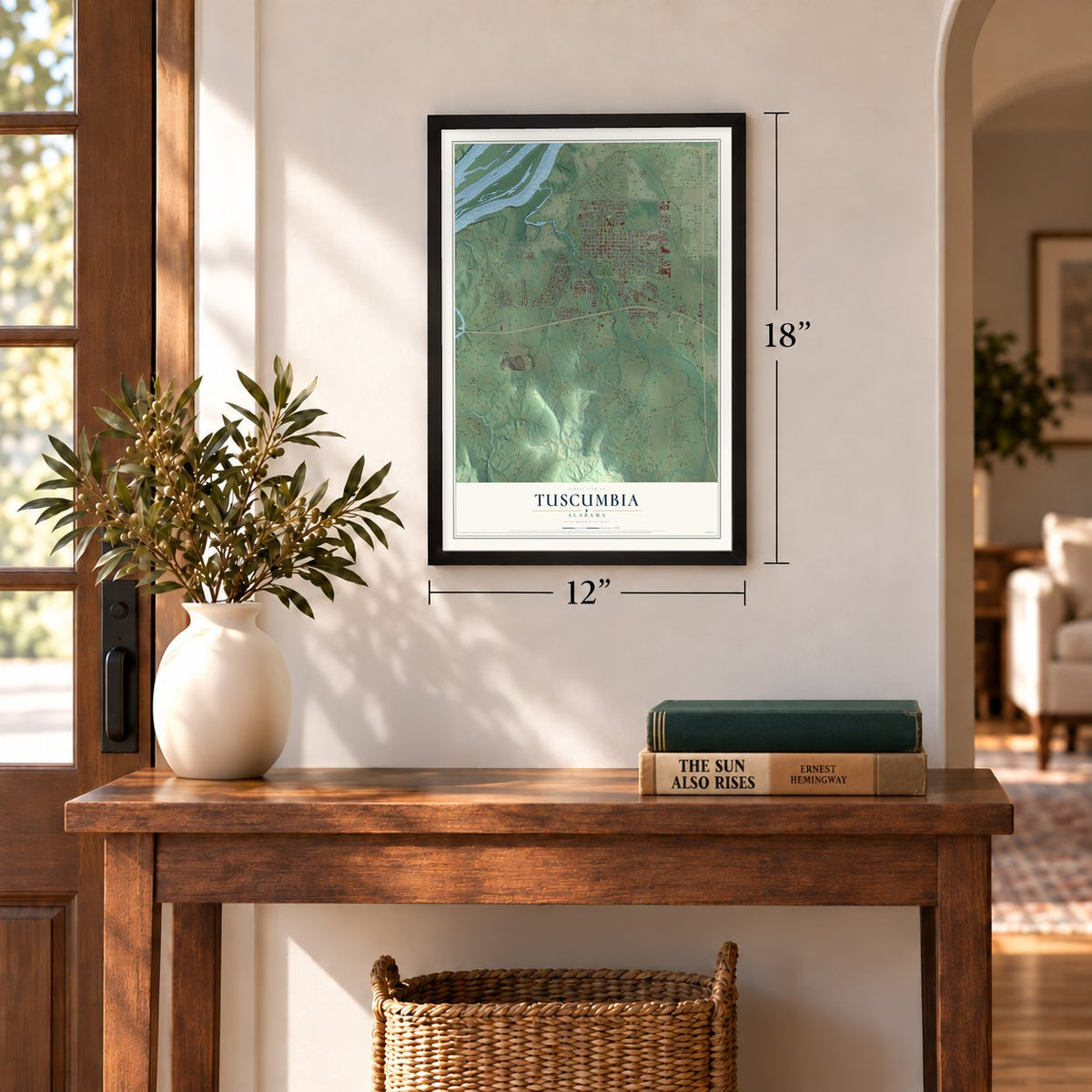
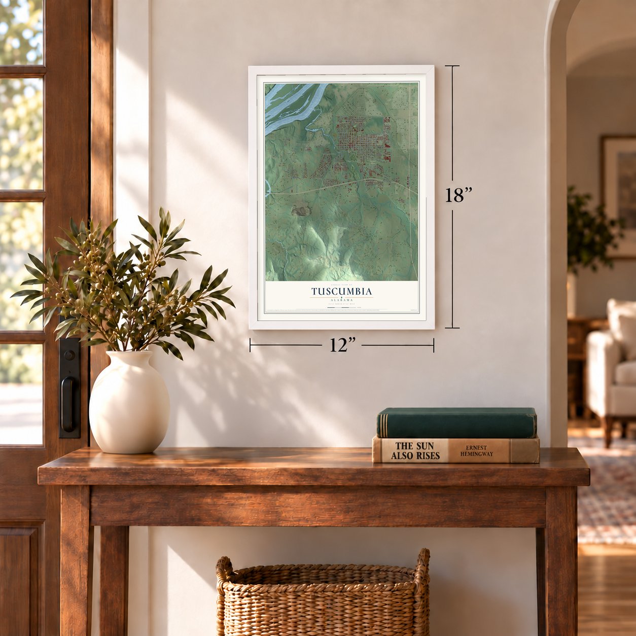
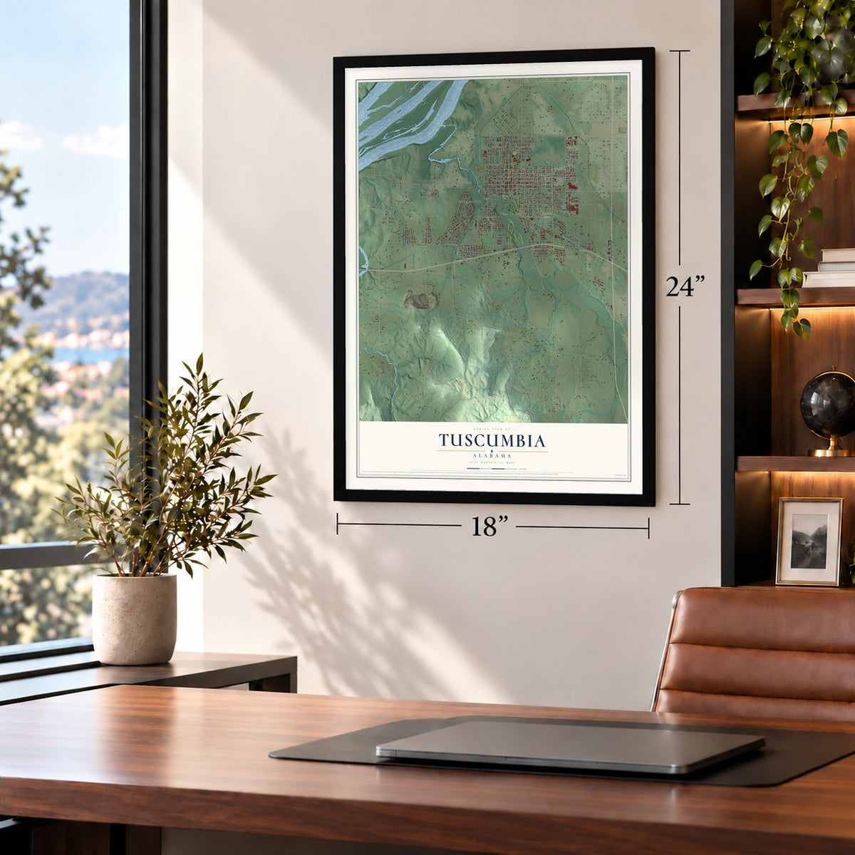
A new map of Tuscumbia, Alabama, made in 2026 and printed to order on thick archival matte paper.
12" x 18" Archival Matte Print
A Map of Home. A Work of Art.
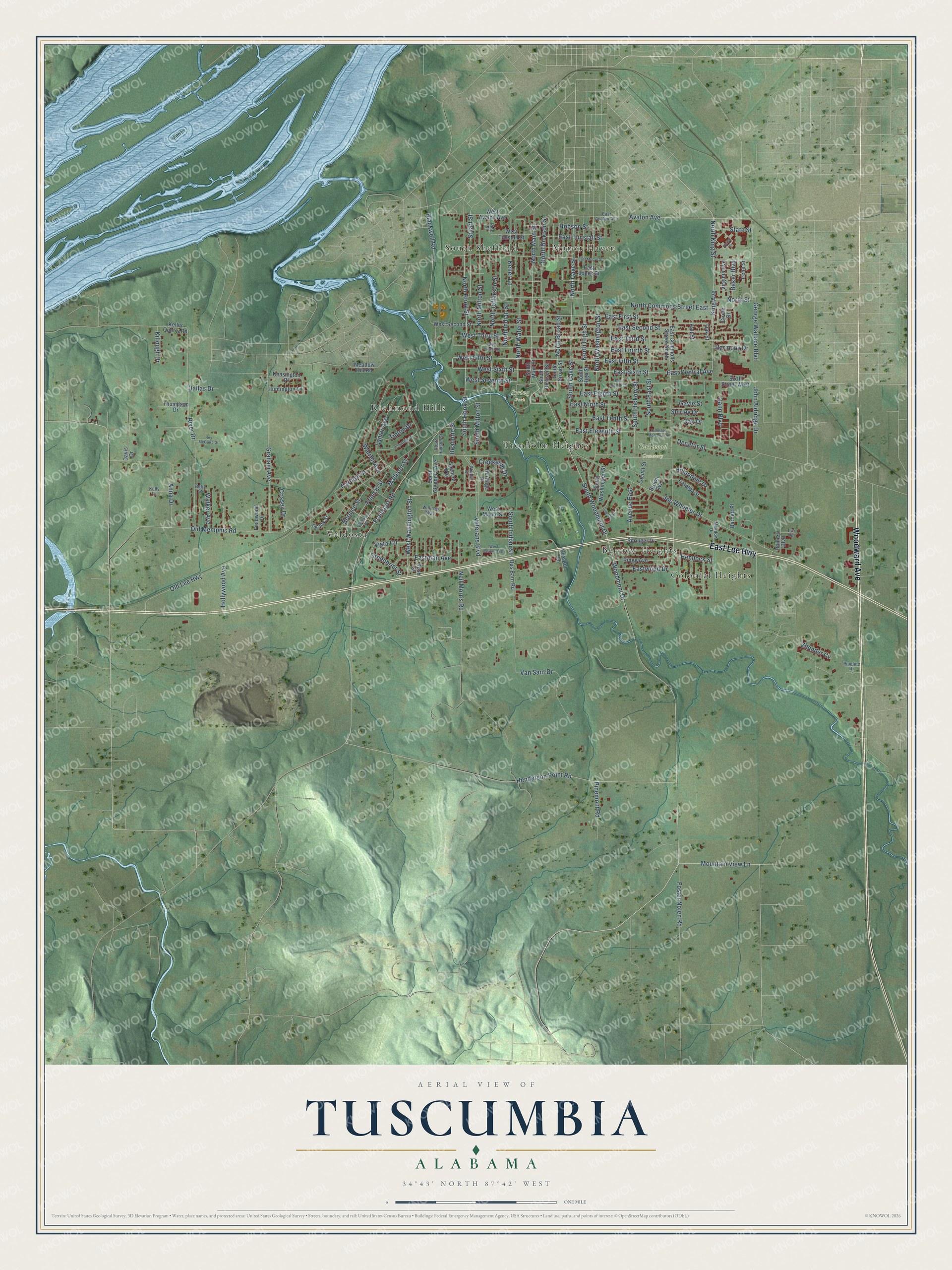
Explore Tuscumbia, Alabama from a whole new perspective. Created using aerial imagery and detailed geographic data, this map captures Tuscumbia building by building, with labeled streets, familiar landmarks, and shaded topographical relief that highlights the natural contours of the landscape.
Combining modern data with the timeless character of a vintage atlas, this map is just as interesting up close as it is beautiful on the wall. Whether you grew up in Tuscumbia, spent memorable years there, or call it home today, this unique map is a great way to celebrate a place that means something to you. Zoom in on the preview to look for your street, and then order a print to put your memories on the wall.
Three ways to hang it
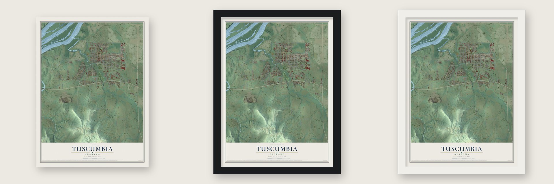
Unframed archival matte, a black wood frame or a white wood frame.
Up close
Geography Worth Displaying
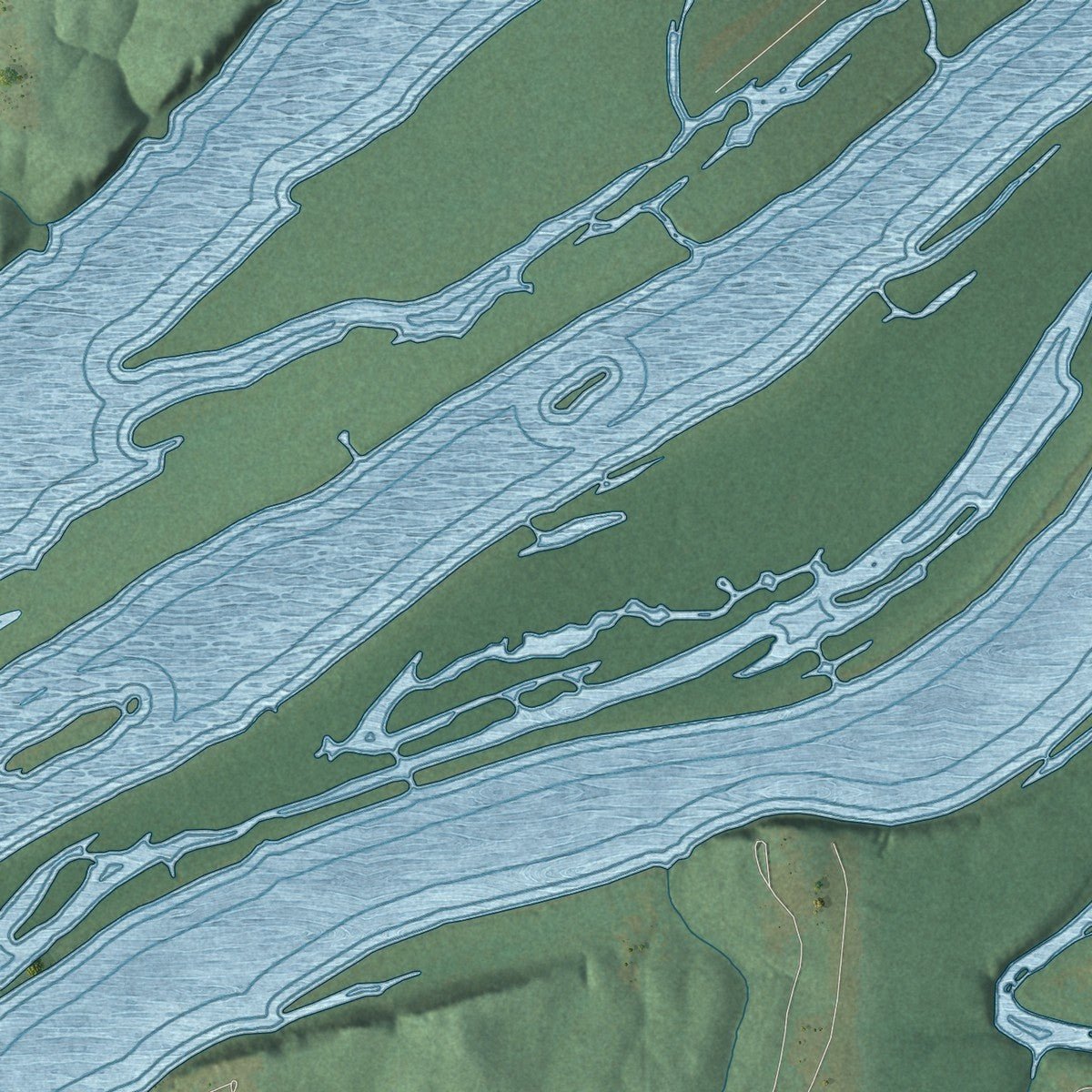
This map was created using accurate cartographic data and authoritative geographic sources, including the U.S. Geological Survey and the Census Bureau. The map brings together terrain, waterways, roads, and building detail. The majority of the streets are labeled, houses are accurately depicted, and the topography is derived from government sources. Combining local data with carefully composed color and shading leads to this beautifully detailed Tuscumbia artwork for your wall.
Rather than simply showing street outlines, we’ve included as many of the street names as we could reasonably fit on the map while keeping their names legible. Zoom in on the high resolution preview to see exactly what’s on the map. We truly set out to create a statement piece for anyone who loves Tuscumbia. So whether it’s for you, or a gift for someone you love, we hope this map of Tuscumbia brings back fond memories.
Read the story behind this map of Tuscumbia, Alabama from 2026.

About Tuscumbia, Alabama
Tuscumbia is a city of 9,054 people and the county seat of Colbert County, in northwest Alabama. This was Chickasaw country when the Michael Dixon family came around 1816, bargained with Chief Tuscumbia for the valley and built a house at the head of the big spring. More settlers followed, and the legislature incorporated their settlement on December 20, 1820, as Ococoposa, a Chickasaw word for cold water. It became Big Spring in 1821, and on December 22, 1822, it took the chief's name.
In 1820 the federal government finished Jackson's Military Road between Tennessee and Louisiana, and it ran right through town. The Tennessee River was close, but 43 miles of shoals blocked the boats, so local business leaders pushed for a railroad around them. The Tuscumbia, Courtland and Decatur line opened in 1832 and reached Decatur, 45 miles east, in 1834, hauling cotton past Muscle Shoals to boats bound for world markets. By 1850 Tuscumbia was a rail hub for the whole South.
“one of the truly progressive women of the southland, an example of Alabama’s true wealth and greatness.”
- On the Trail of TearsIn the years after the Indian Removal Act of 1830, Tuscumbia saw thousands of Native Americans pass through on the Trail of Tears. The town's own railroad carried them to Tuscumbia Landing, where they were put aboard steamboats bound for Indian Territory, now Oklahoma.
- War, then Spring CommonsBecause of its railroad, Tuscumbia was a Union target in the Civil War, and troops wrecked Tuscumbia Landing and other parts of town. In 1867 the town became the seat of the new Colbert County. In 1872 voters agreed to let industry onto Spring Commons, the land around the big spring and Spring Creek, and soon mills, a cotton gin and an ice company stood there.
- The tornado of 1874On November 22, 1874, a tornado rated F4 damaged or destroyed about a third of Tuscumbia and killed 14 people. It also struck St. John's Episcopal Church, whose congregation had first used its Carpenter's Gothic building in October 1852. The parish repaired the church and braced it with iron tie-rods across the nave. It joined the National Register in 2018.
- Helen Keller's hometownHelen Keller was born in Tuscumbia in 1880 and grew up at Ivy Green, her family's home. The Arthur Keller family belonged to First Presbyterian Church, where she was baptized as a baby that same year.
- Miss Maud's free kindergartenMaud McKnight Lindsay, daughter of Gov. Robert B. Lindsay, was born in Tuscumbia in 1874. After teaching in a private kindergarten in town, she opened Alabama's first free kindergarten in 1898, in the cotton mill district of East Florence, and led it for more than four decades. Milton Bradley published her first book, Mother Stories, in 1900, and she turned down an offer from Maria Montessori so she could stay in Alabama.
Find your street
Names on the Tuscumbia map
Every name below is printed on this map. Look for your street, your school, the park where you played, or the pond down the road.
Places and landmarks9
- Oakwood Cemetery
- Spring Park
- Belview Heights
- Colonial Heights
- Manor Haven
- Richmond Hills
- South Sheffield
- Trenholm Heights
- Valdosta
Streets and roads151
- Woodward Avenue
- East Lee Highway
- South Hook Street
- North Hook Street
- North Main Street
- East Ninth Street
- West Washington Street
- West Fifth Street
- East Sixth Street
- West Sixth Street
- Avalon Avenue
- Woodmont Drive
- North Washington Street
- East Fifth Street
- North Cave Street
- King Avenue
- South Cave Street
- Mountain View Lane
- North Dickson Street
- East Eleventh Street
- North Broad Street
- North King Street
- West Third Street
- Veterans Boulevard
- East Third Street
- South East Street
- State Street
- Joe Wheeler Drive
- North High Street
- South Hickory Street
Show all 151 streets
- Old Lee Highway
- South Woodmont Drive
- Frankfort Road
- East Second Street
- River Drive
- Old Memphis Road
- North Commons Street East
- East First Street
- George Wallace Boulevard
- Graham Avenue
- East Eighth Street
- East Fourth Street
- North Milton Street
- Van Sant Drive
- Vista Circle
- North Water Street
- Hemlock Street
- East Tenth Street
- Warren Avenue
- North Jefferson Street
- Lamar Avenue
- South Milton Street
- Decatur Street
- Madison Street
- Keller Lane
- Hollywood Avenue
- Stuart Street
- Henderson Point Road
- Foster Nolen Road
- Francis Street
- Anna Drive
- Eastman Avenue
- East Tunstall Street
- Hobson Street
- John Aldridge Drive
- Blackwell Road
- Hillandale Drive
- South Indian Street
- Cossey Drive
- Gann Boulevard
- Carolyn Street
- Avenue East
- Eastwood Drive
- Harmony Drive
- West Seventh Street
- North Indian Street
- Bernice Street
- East Central Avenue
- Neil Morris Road
- Pinemont Road
- Creekside Drive
- North Street
- Tipton Drive
- Walker Avenue
- Greenbrier Street
- Baker Boulevard
- Oak Drive
- Zhender Cv
- Killough Drive
- Beauprie Street
- Gayle Street
- Dallas Drive
- Shirley Drive
- South Glendora Avenue
- South Main Street
- Sixth Street West
- South Dickson Street
- East Jones Street
- South Washington Street
- Bus Barn Road
- West Second Street
- South High Street
- Ridge Avenue
- Springer Drive
- East Commons Street North
- West Tunstall Street
- West Avalon Avenue
- Locust Street
- Circle Drive
- West Maple Street
- Kensington Place
- Catalpa Street
- Keller Quarry Road
- Heritage Place
- Spencer Way
- Rush Street
- Huntington Lane
- South Broad Street
- Thompson Drive
- Virginia Avenue
- Brown Avenue
- Fieldwood Drive
- Barnett Place
- Meadow Hill Road
- Holmes Boulevard
- Davis Drive
- Hurston Lane
- Grady Street
- Irene Street
- Kalt Street
- Oak Street
- South Hudson Street
- East Avalon Avenue
- Meadow Drive
- Willow Drive
- Williams Way
- Pipeline Drive
- Pine Street
- Lyn Lane
- Betty Street
- Kelly Lane
- Trenholm Memorial Drive
- Volunteer Drive
- East Seventh Street
- West Fourth Street
- West California Drive
- Helen Drive
- East Moore Street
- Madison Avenue
- Roy McGuire Drive
- Urbana Street
Names are listed as they appear on the printed map. Zoom into the product photos to find them.
The art of mapping a place
How This Map Was Made
Real places. Remarkable detail. Discover the layers that turn geographic data into a map of home.

The view from above
Aerial imagery reveals the character of the land: woodland, open fields, and the patterns of a place.

The shape of the land
Elevation data brings hills, valleys, and subtle changes in the landscape into view.

The details of home
Roads, waterways, and building footprints come together to make the map feel unmistakably local.

Geography becomes art
Considered color, shading, and typography bring the layers together in a map made for your wall.


Process illustrated with Mendon, Massachusetts. Aerial imagery: USDA NAIP. Terrain: USGS 3D Elevation Program. Map details and finished artwork: KNOWOL.
The Details
About This Print
Choose an archival matte print, or a black or white Ayous wood frame. The archival matte print is unframed.
Select your size and finish above to see the matching product image and price.
Materials & Craftsmanship
A contemporary map with the character of a classic atlas, printed on archival matte paper. Optional frames are made from Ayous wood.
Your printed map does not include the watermark shown in the full-map preview.
Shipping & Delivery
Free shipping within the United States. Every print is made to order in the USA.
Buying a gift? Add a note in your cart and we'll include it. We never put prices in the package.
Prints ship within 2 to 3 business days. Allow 7 to 10 days total from ordering for delivery. Timing may vary during holidays or periods of high order volume.
Read our shipping policy.
Returns and damaged prints
Each print is made to order. Change-of-mind refunds are not available after production.
If your print arrives damaged, misprinted or incorrect, contact support@knowol.com within 30 days of receiving it. Include your order number, photos and a description of the issue.
Read our full refund and replacement policy. For questions about your order, email support@knowol.com.
Find your town
Looking for another city?
Find a map of home in our Alabama collection, or any town in the country.
Nearby
Maps of towns near Tuscumbia
Know someone from one of these towns? Their map makes a great gift.
 Sheffield
, Alabama
From $39.99See the map
 Muscle Shoals
, Alabama
From $39.99See the map
 Florence
, Alabama
From $39.99See the map
More maps nearby: Littleville, Leighton, Underwood-Petersville, St. Florian and Killen.