
Search for another town


Free U.S. delivery 7 to 10 days after you order
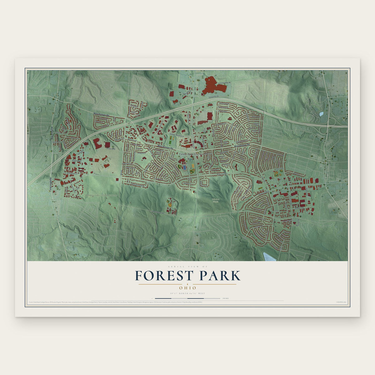
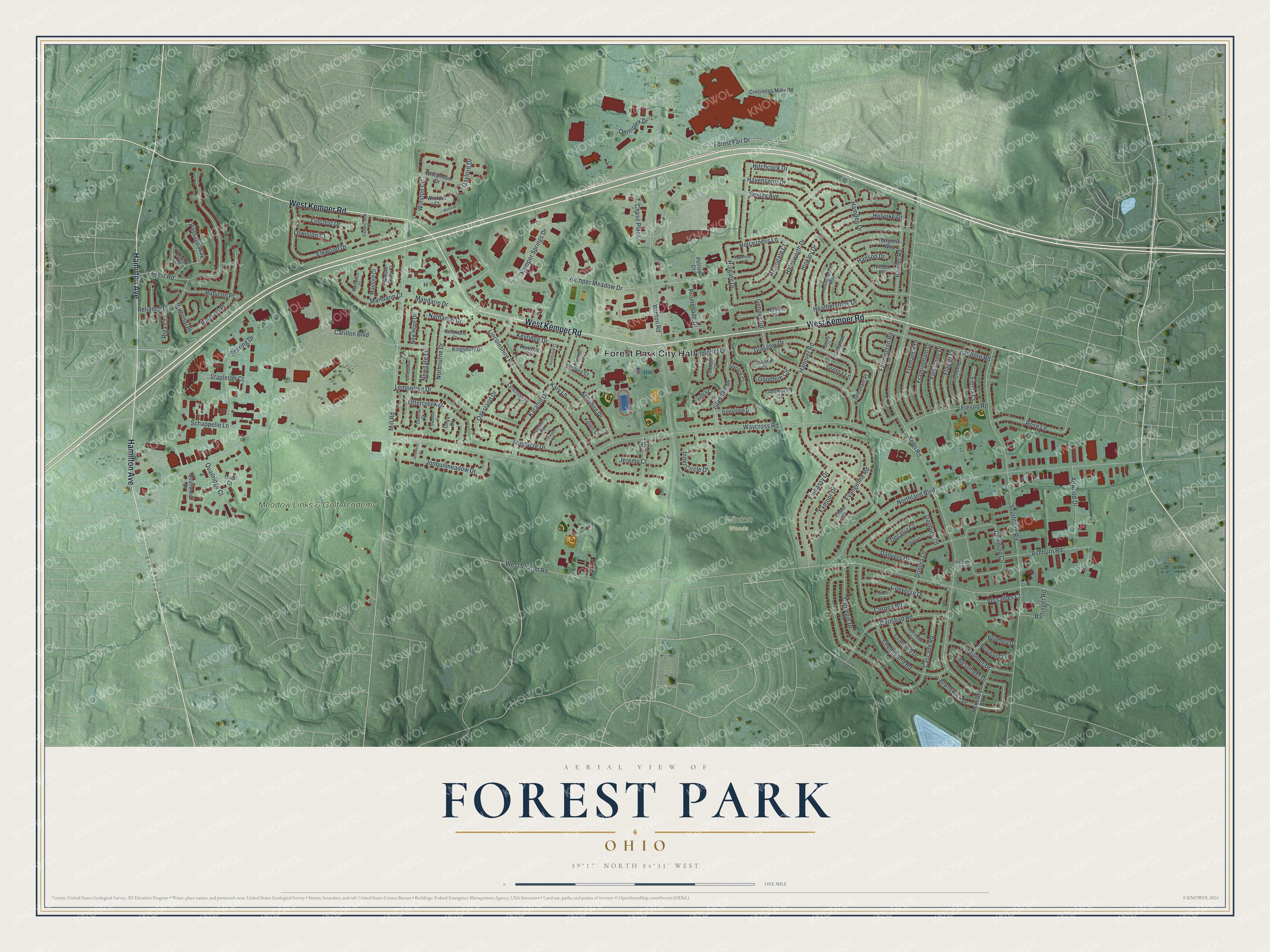
Forest Park, Ohio Map Art
Building by building, with labeled streets and shaded relief.
12" x 18" Archival Matte Print
A Map of Home. A Work of Art.
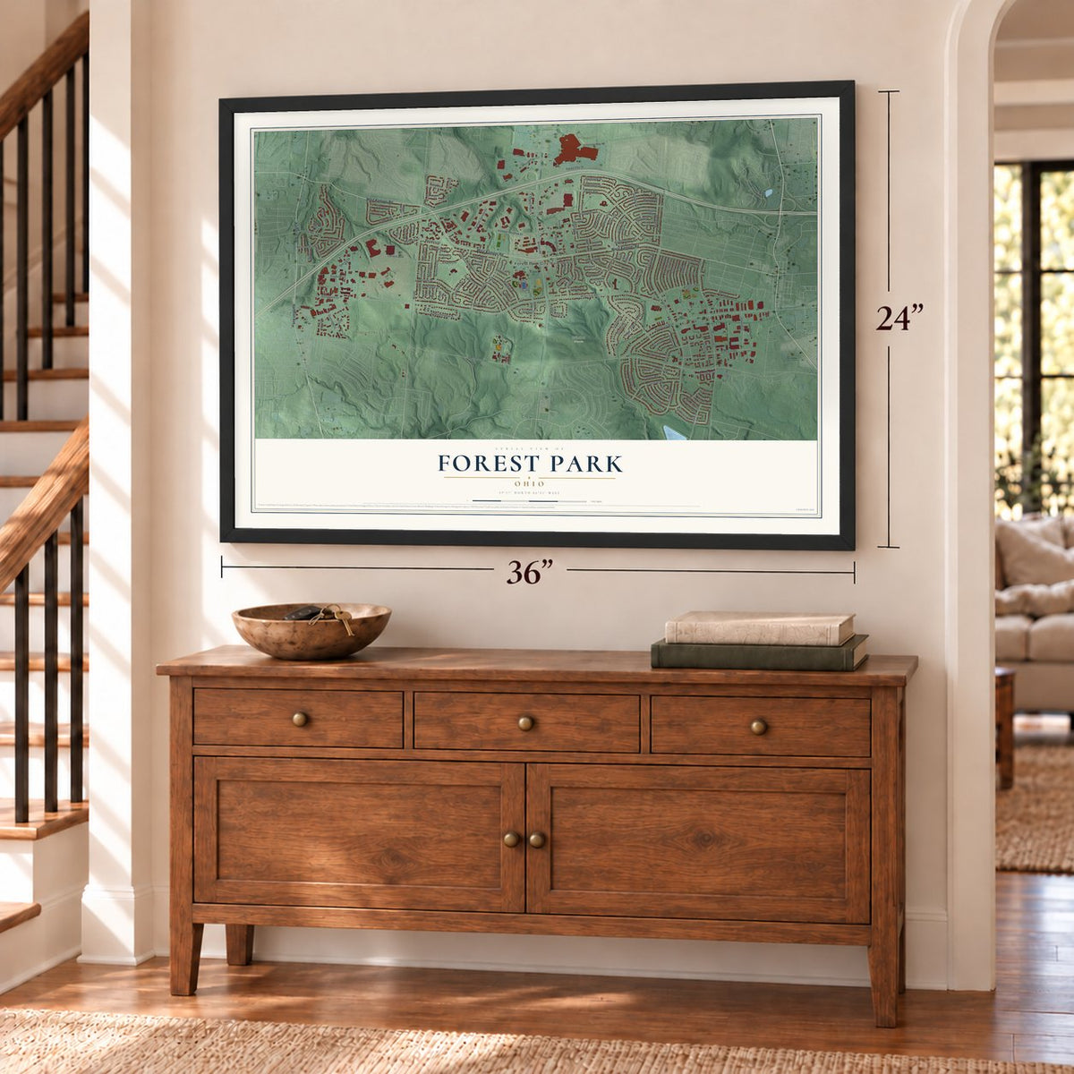
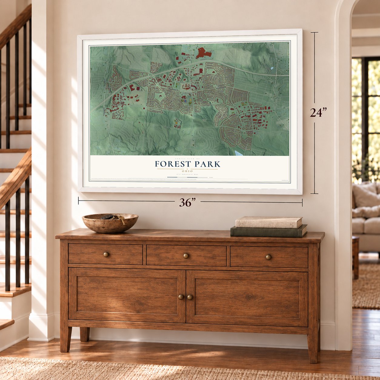
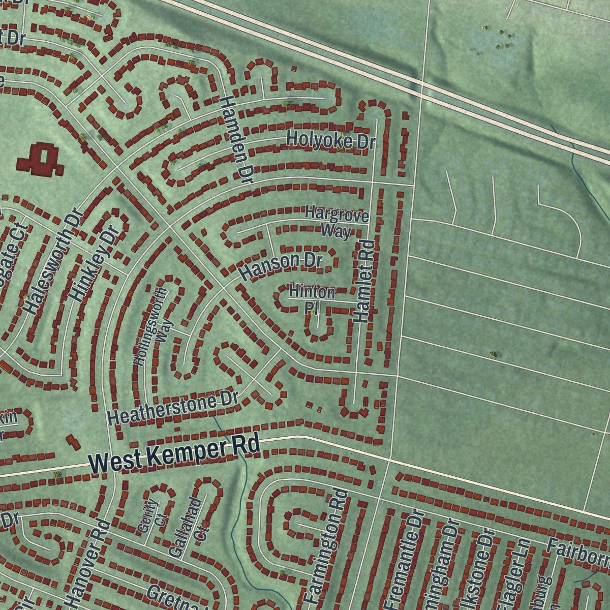
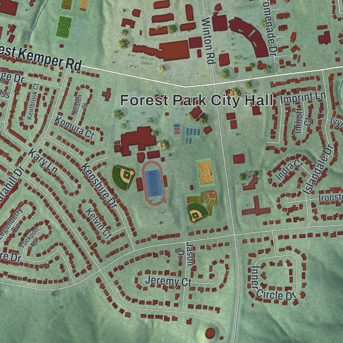
Explore Forest Park, Ohio from a whole new perspective. Created using aerial imagery and detailed geographic data, this map captures Forest Park building by building, with labeled streets, familiar landmarks, and shaded topographical relief that highlights the natural contours of the landscape.
Combining modern data with the timeless character of a vintage atlas, this map is just as interesting up close as it is beautiful on the wall. Whether you grew up in Forest Park, spent memorable years there, or call it home today, this unique map is a great way to celebrate a place that means something to you. Zoom in on the preview to look for your street, and then order a print to put your memories on the wall.
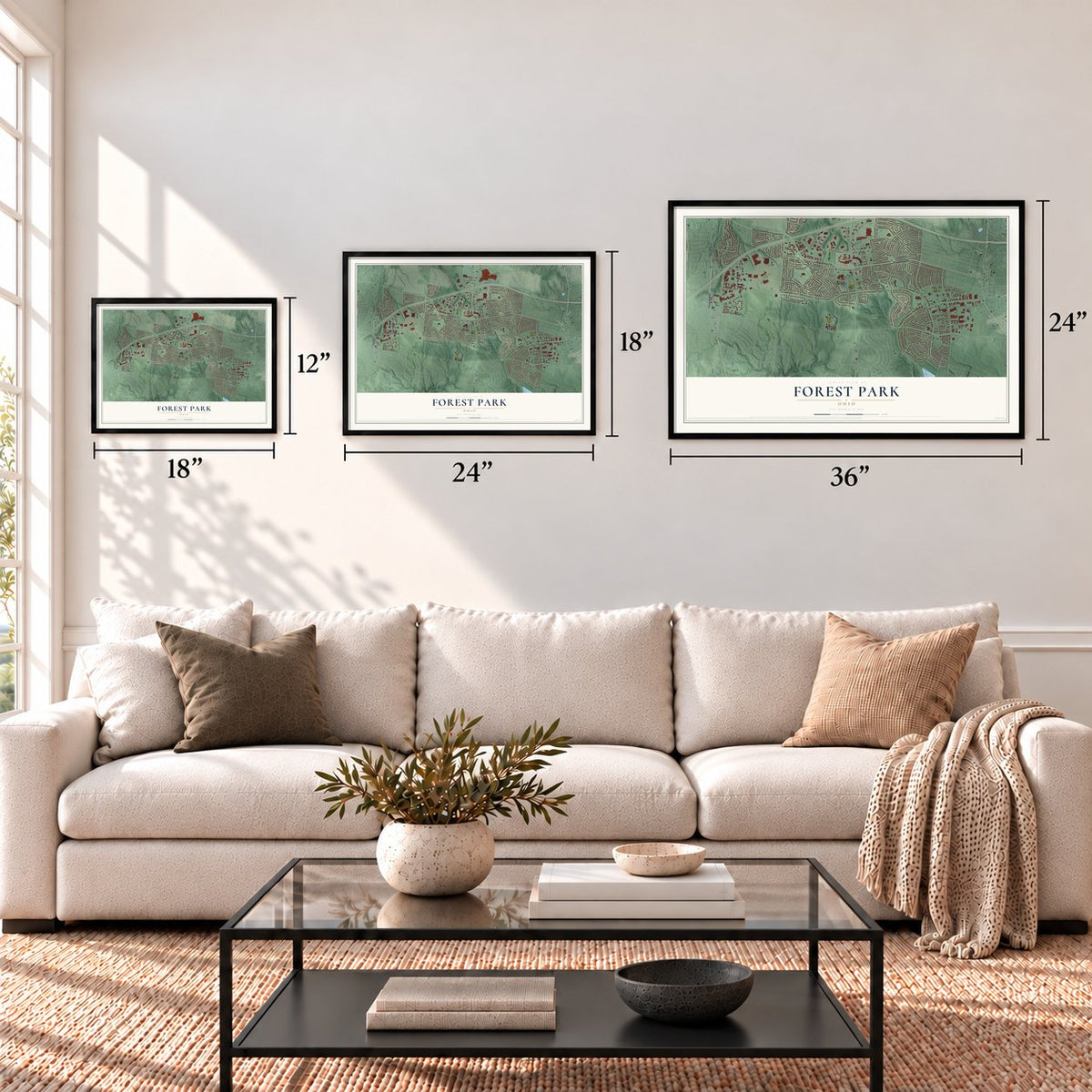
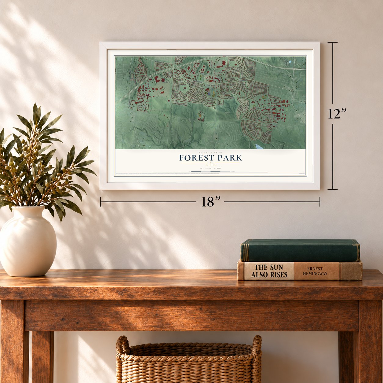
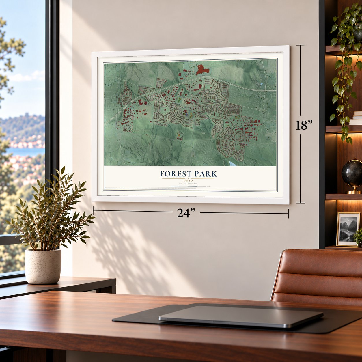
Three ways to hang it
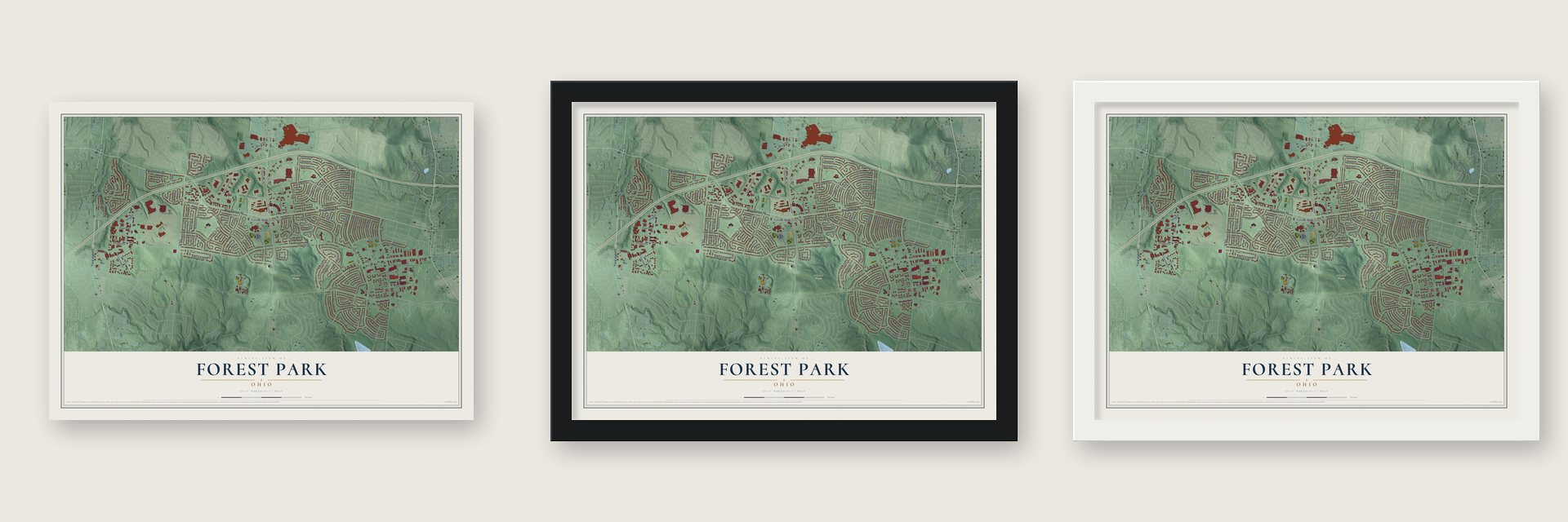
Unframed archival matte, a black wood frame or a white wood frame.
Up close
Geography Worth Displaying
This map was created using accurate cartographic data and authoritative geographic sources, including the U.S. Geological Survey and the Census Bureau. The map brings together terrain, waterways, roads, and building detail. The majority of the streets are labeled, houses are accurately depicted, and the topography is derived from government sources. Combining local data with carefully composed color and shading leads to this beautifully detailed Forest Park artwork for your wall.
Rather than simply showing street outlines, we’ve included as many of the street names as we could reasonably fit on the map while keeping their names legible. Zoom in on the high resolution preview to see exactly what’s on the map. We truly set out to create a statement piece for anyone who loves Forest Park. So whether it’s for you, or a gift for someone you love, we hope this map of Forest Park brings back fond memories.
Read the story behind this map of Forest Park, Ohio from 2026.

Find your street
Names on the Forest Park map
Every name below is printed on this map. Look for your street, your school, the park where you played, or the pond down the road.
Places and landmarks3
- Forest Park City Hall
- Winton Woods
- Meadow Links & Golf Academy
Streets and roads153
- West Kemper Road
- Hamilton Avenue
- Mill Road
- Holgate Drive
- Waycross Road
- West Sharon Road
- Winton Road
- Hanover Road
- Smiley Avenue
- Southland Road
- Northland Boulevard
- Kemper Meadow Drive
- Kenn Road
- Cascade Road
- Lincolnshire Road
- Forest Fair Drive
- Halesworth Drive
- Crest Road
- Carillon Boulevard
- Geneva Road
- Fairborn Road
- Hitchcock Drive
- Elkwood Drive
- Evangeline Road
- Dewdrop Circle
- Glasgow Drive
- Norbourne Drive
- Karahill Drive
- Lemontree Drive
- Embassy Drive
Show all 153 streets
- Sebring Drive
- Carlsbad Road
- Danbury Road
- Winston Circle
- Ashburn Road
- Farmington Road
- Corona Road
- Inner Circle Drive
- Jonquilmeadow Drive
- Raphael Place
- Bessinger Drive
- Holderness Lane
- Hamden Drive
- Islandale Drive
- Chelmsford Road
- Brunswick Drive
- Hamlet Road
- Longacre Drive
- Kenshire Drive
- Hinkley Drive
- Fresno Road
- Ottercreek Drive
- Fremantle Drive
- Kary Lane
- Adwood Drive
- Rose Lane
- Havensport Drive
- Carnegie Drive
- Converse Drive
- Passage Way
- Brunner Drive
- Exmoor Drive
- Framingham Drive
- Donora Lane
- Mandarin Court
- Mandarin Drive
- Folkstone Drive
- Holyoke Drive
- Reliance Drive
- Rubicon Place
- Heatherstone Drive
- Kemper Springs Drive
- Harrogate Court
- Hanson Drive
- Keyridge Drive
- Flagler Lane
- Imprint Lane
- Newgate Lane
- Danvers Drive
- Promenade Drive
- Lincrest Drive
- Omniplex Drive
- Cranford Drive
- Versailles Court
- Oakstand Drive
- Chase Plaza
- Ballinger Road
- Jeremy Court
- Gretna Lane
- Stapleton Court
- Decatur Court
- Quailridge Court
- Schappelle Lane
- Fiesta Court
- Goodhue Circle
- Nathanial Drive
- Gaylord Drive
- Lewiston Court
- Ramondi Place
- Riga Court
- Cincinnati Mills Road
- Kingsbury Drive
- Fitchburg Lane
- Bradbury Drive
- Williamson Drive
- Ironstone Drive
- McKelvey Road
- Hargrove Way
- Harkin Drive
- Jason Drive
- Lyncross Drive
- New Hope Drive
- Manford Court
- Mount Holly Court
- Kelvin Court
- Quailwood Drive
- Gresham Place
- Beaufort Court
- Komura Court
- Galsworthy Court
- Indra Court
- Winford Court
- Ivyrock Court
- Hinton Place
- Gallahad Court
- Gallatin Court
- Pellston Court
- Quail Court
- Imhoff Court
- Kenross Court
- Kodiak Drive
- Endor Court
- Onyx Court
- Hollingsworth Way
- Crenshaw Lane
- Logenberry Circle
- Daphne Court
- Cedarcreek Drive
- Netherland Court
- Odessa Court
- Morrocco Court
- Gerity Court
- Oxfordshire Lane
- Winford Lane
- Colbert Circle
- Kentbrook Court
- Lockport Court
- Hopedale Court
- Owenton Court
- Lake Forest Circle Drive
- Kristen Place
- Juneberry Drive
- Dinsmore Drive
Names are listed as they appear on the printed map. Zoom into the product photos to find them.
About Forest Park, Ohio
Forest Park is a city of 20,189 people in Hamilton County, north of Cincinnati, and only one city in the county has more residents. In 1935 the federal Resettlement Administration, working under President Franklin D. Roosevelt, set aside 5,930 acres here for Greenhills, one of three Greenbelt towns the government planned as new homes for struggling families from cities and farms.
Greenhills opened in 1938, but the government gave up on the Greenbelt idea in 1949, and much of its land was never built on. In 1954 the developers Marvin Warner and Joseph Kanter bought 3,400 of those acres. After two years of planning, they put the first houses up for sale in March 1956, in what they called the C section. Forest Park had 4800 people by 1960. It became a village in 1961 and a city in 1968.
“people have the right to choose where to live, work or play based on their own free choice.”
- An open cityFrom its early years Forest Park chose to be an "open city," and its leaders repeatedly passed resolutions and ordinances welcoming residents of any race, creed or national origin. In 1978 the Housing Commission wrote a plan to keep the city diverse and fight unfair treatment by realtors, builders and corporations. In 1980 the city sued a builder, but a court dismissed the case for lack of evidence, and the council issued a statement defending free choice in housing.
- Integrated living since 1982In 1982 the city adopted the Quality of Integrated Life resolution. It was meant as a guide to living together, and it treated diversity as one of the city's strengths. In 1991 a Quality of Life Task Force carried the idea forward with a vision statement built on the "shared values of a multicultural citizenry."
- A school since about 1847Children have gone to school on West Kemper Road almost without a break since the late 1840s. Newell School, a one-room white-frame building, taught students from about 1847 to 1939. Its district ran from the north edge of Greenhills to where Interstate 275 runs today. Local schools merged in 1939. In 1968 Forest Park High School opened on the old Newell site, and that building later became Winton Woods High School.
Keep exploring Ohio
Forest Park is one of 1,389 Ohio towns we've mapped. Every dot on the map is a print of its own.
The search covers every state, Ohio first.
Near Forest Park
Order 2 or more town maps and save 10%. Shown in the size and finish you picked above, so they hang as a set.
- Greenhills 12" x 18" / Archival Matte Print $39.99
- Pleasant Run Farm 12" x 18" / Archival Matte Print $39.99
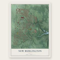
- New Burlington 12" x 18" / Archival Matte Print $39.99
More maps nearby: Mount Healthy Heights, Pleasant Run, Springdale, Fairfield and Pleasant Hills.
The art of mapping a place
How This Map Was Made
Real places. Remarkable detail. Discover the layers that turn geographic data into a map of home.

The view from above
Aerial imagery reveals the character of the land: woodland, open fields, and the patterns of a place.

The shape of the land
Elevation data brings hills, valleys, and subtle changes in the landscape into view.

The details of home
Roads, waterways, and building footprints come together to make the map feel unmistakably local.

Geography becomes art
Considered color, shading, and typography bring the layers together in a map made for your wall.


Process illustrated with Mendon, Massachusetts. Aerial imagery: USDA NAIP. Terrain: USGS 3D Elevation Program. Map details and finished artwork: KNOWOL.
The Details
About This Print
Choose an archival matte print, or a black or white Ayous wood frame. The archival matte print is unframed.
Select your size and finish above to see the matching product image and price.
Materials & Craftsmanship
A contemporary map with the character of a classic atlas, printed on archival matte paper. Optional frames are made from Ayous wood.
Your printed map does not include the watermark shown in the full-map preview.
Shipping & Delivery
Free shipping within the United States. Every print is made to order in the USA.
Buying a gift? Add a note in your cart and we'll include it. We never put prices in the package.
Prints ship within 2 to 3 business days. Allow 7 to 10 days total from ordering for delivery. Timing may vary during holidays or periods of high order volume.
Read our shipping policy.
Returns and damaged prints
Each print is made to order. Change-of-mind refunds are not available after production.
If your print arrives damaged, misprinted or incorrect, contact support@knowol.com within 30 days of receiving it. Include your order number, photos and a description of the issue.
Read our full refund and replacement policy. For questions about your order, email support@knowol.com.