
Search for another town




Free U.S. delivery 7 to 10 days after you order
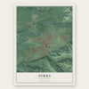
Forks, Washington Map Art
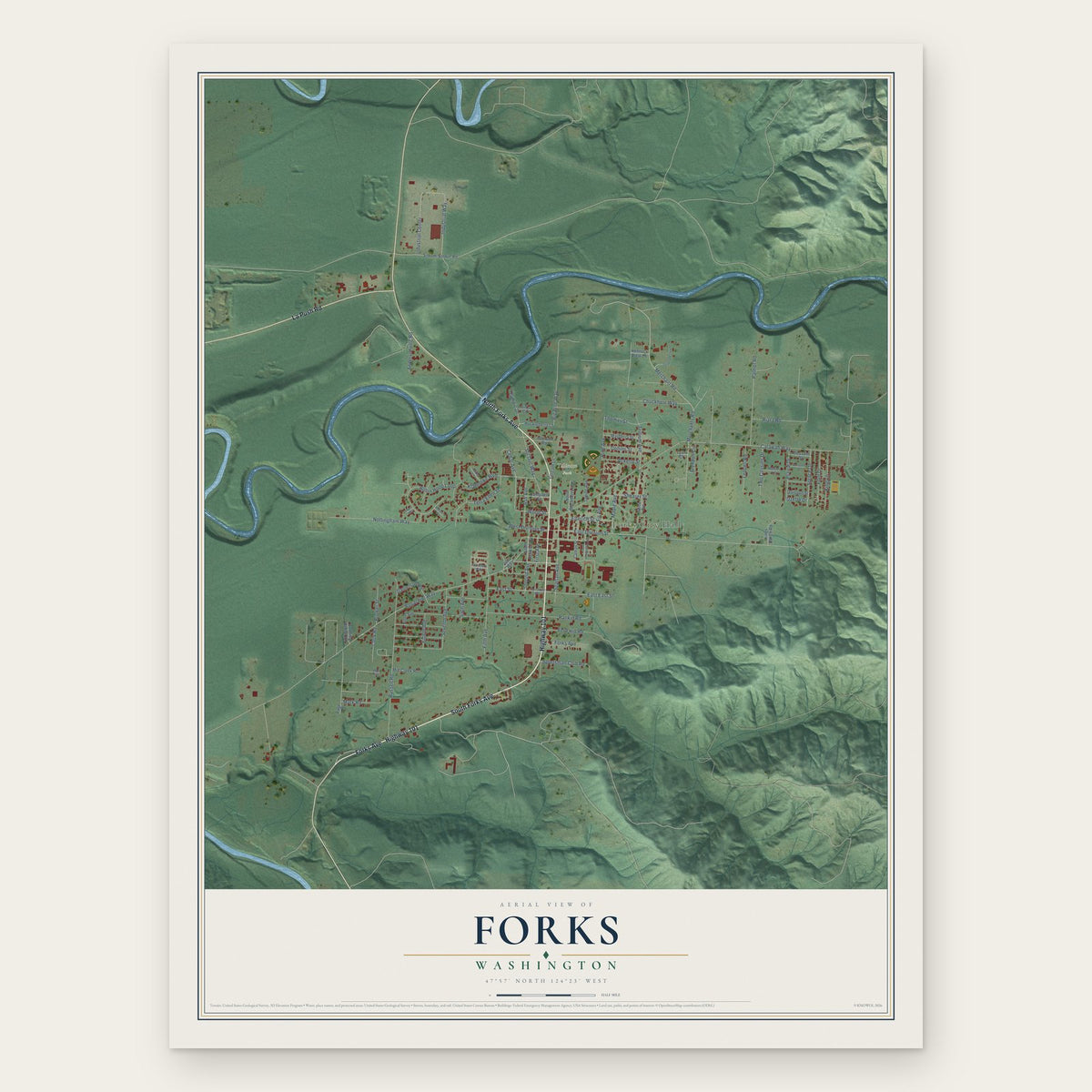
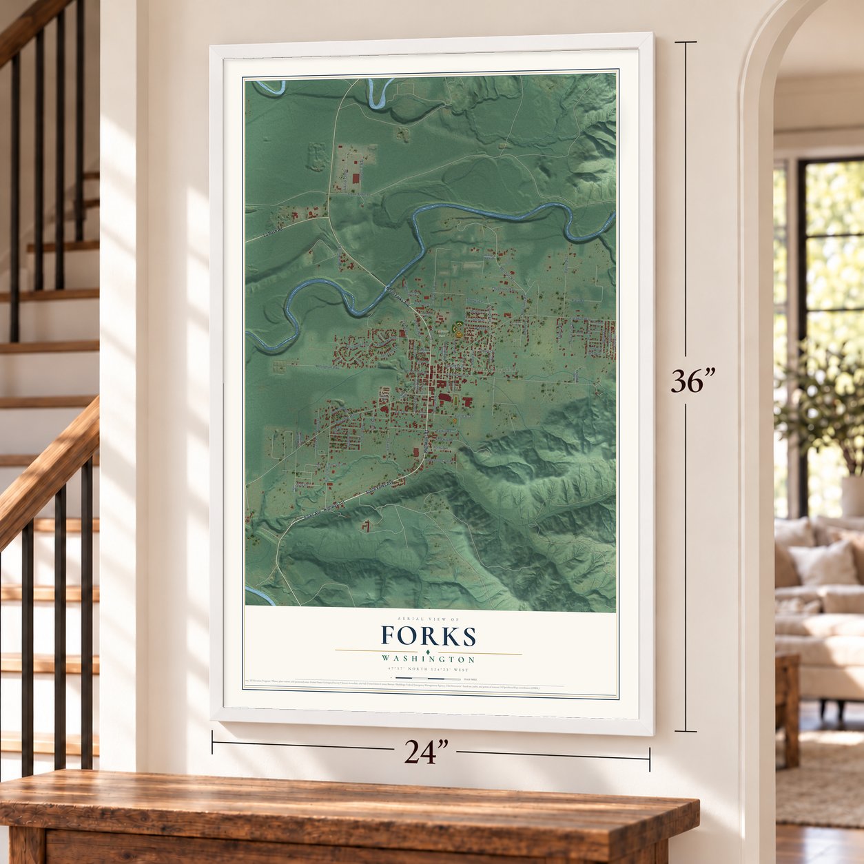
A new map of Forks, Washington, made in 2026 and printed to order on thick archival matte paper.
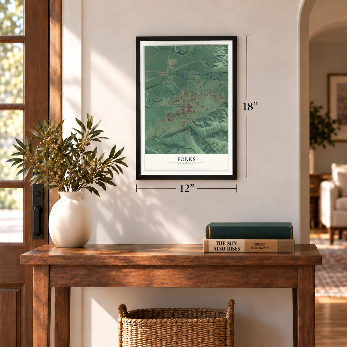
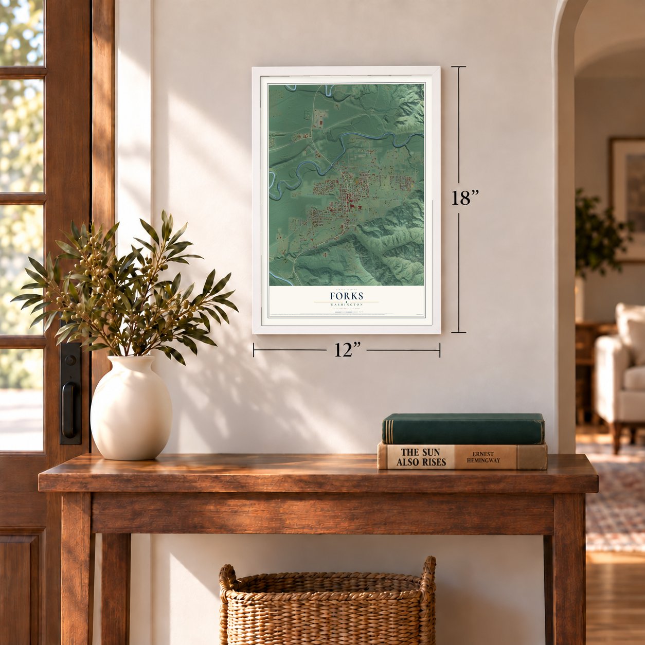
12" x 18" Archival Matte Print
A Map of Home. A Work of Art.
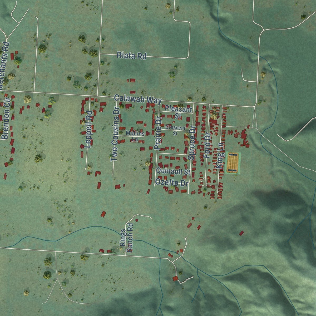
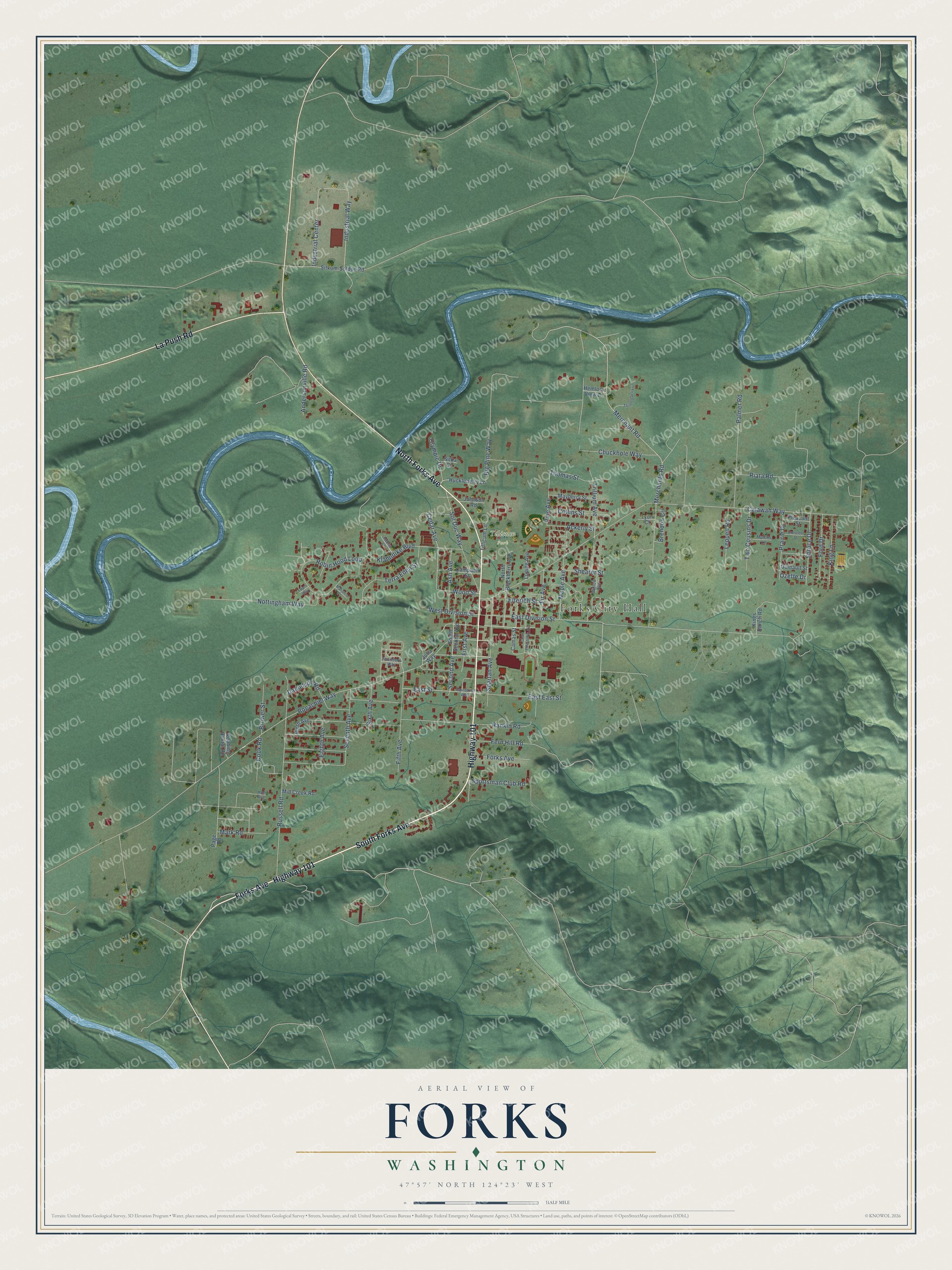
Explore Forks, Washington from a whole new perspective. Created using aerial imagery and detailed geographic data, this map captures Forks building by building, with labeled streets, familiar landmarks, and shaded topographical relief that highlights the natural contours of the landscape.
Combining modern data with the timeless character of a vintage atlas, this map is just as interesting up close as it is beautiful on the wall. Whether you grew up in Forks, spent memorable years there, or call it home today, this unique map is a great way to celebrate a place that means something to you. Zoom in on the preview to look for your street, and then order a print to put your memories on the wall.
Three ways to hang it
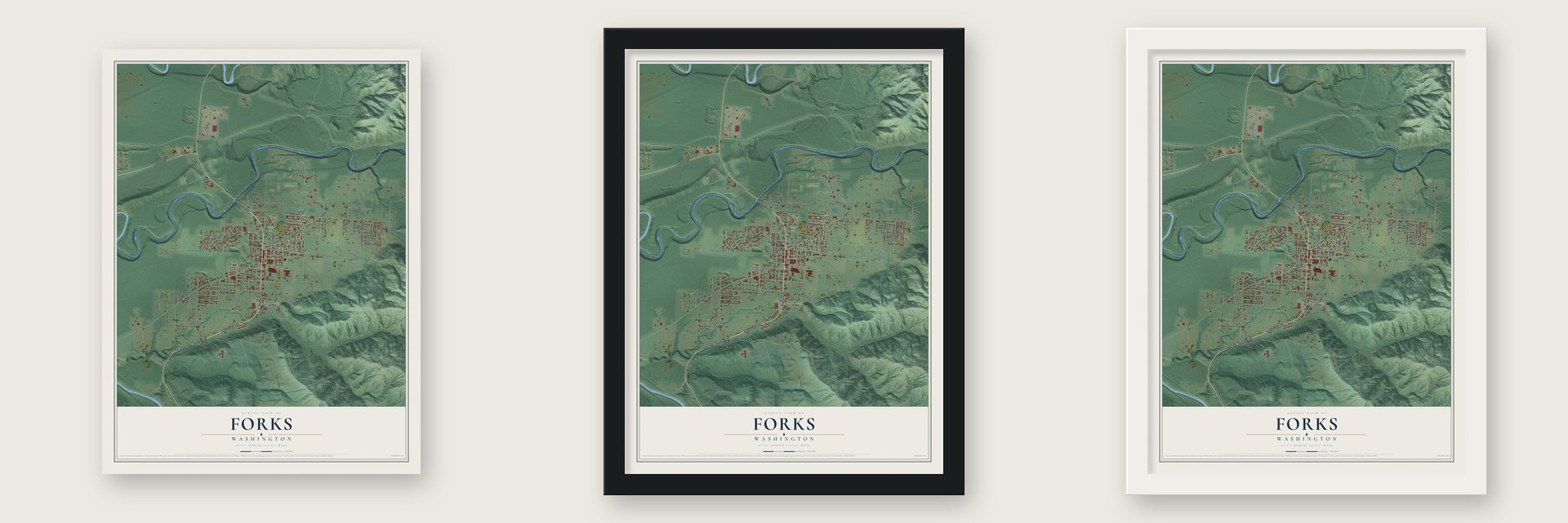
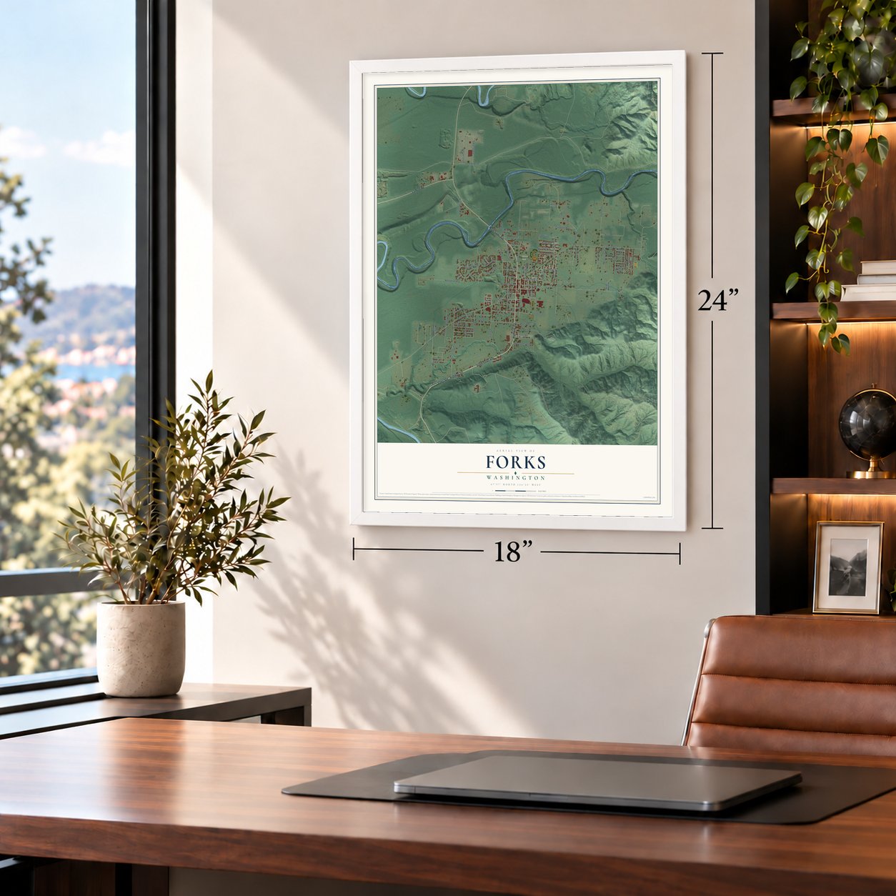
Unframed archival matte, a black wood frame or a white wood frame.
Up close
Geography Worth Displaying
This map was created using accurate cartographic data and authoritative geographic sources, including the U.S. Geological Survey and the Census Bureau. The map brings together terrain, waterways, roads, and building detail. The majority of the streets are labeled, houses are accurately depicted, and the topography is derived from government sources. Combining local data with carefully composed color and shading leads to this beautifully detailed Forks artwork for your wall.
Rather than simply showing street outlines, we’ve included as many of the street names as we could reasonably fit on the map while keeping their names legible. Zoom in on the high resolution preview to see exactly what’s on the map. We truly set out to create a statement piece for anyone who loves Forks. So whether it’s for you, or a gift for someone you love, we hope this map of Forks brings back fond memories.
Read the story behind this map of Forks, Washington from 2026.
About Forks, Washington
Forks is a city of 3,335 people in Clallam County, set on a prairie in the West End of the Olympic Peninsula. The Quileute people burned this open ground again and again so young ferns would grow for the elk and deer they hunted, and both Quileute names for it mean "prairie upstream." In January 1878 Luther and Esther Ford and their family left La Push, moved inland and claimed a 160-acre homestead there. When a post office opened in trapper Ole Nelson's cabin in 1884, the name Ford's Prairie already belonged to another Washington town, so settlers chose Forks Prairie for the rivers on either side.
Surveyors laid out the town in 1912 on hop farmer Merrill Whittier's homestead, and for years it was little more than one block of buildings among the farms. A road for cars from Lake Crescent finally reached Forks in 1927, and the Olympic Loop Highway, now U.S. 101, followed in 1931. Forks incorporated on August 7, 1945, and counted 1,120 people at its first census as a town. Logging boomed from the 1950s to the 1970s, when Forks called itself the "Logging Capital of the World," but the harvest fell sharply in the 1980s and 1990s as fights over wildlife habitat brought anger and lost jobs.
“The Fords had bypassed pioneer Arthur Denny's offer of 80 acres of what became downtown Seattle for the reputed open, rich farming soils of the West End.”
- Cows by schooner in 1879Luther Ford planted the prairie's first orchard and started its first dairy herd. In 1879 he shipped cows by schooner to Neah Bay, then drove them along the beach to La Push and on inland. Getting goods out was harder: the nearest market, Port Townsend, lay 100 miles away, hops often rotted while waiting for a boat, and the first cattle drive there took six weeks.
- Wind in 1921, fire in 1925On January 29, 1921, a windstorm blowing 120 miles per hour tore across the West End, knocking down nearly 20 percent of the forest near Forks; about 300 trees lay across the first mile of the Lake Crescent road north of town. On January 10, 1925, fire spread from a pool hall through most buildings on the west side of main street, burning the general store, the Odd Fellows building and the Forks Hotel. Replacements stood before year's end.
- A railroad that never hauled spruceWorld War I made the giant Sitka spruce of the West End valuable for building airplanes. In 1918 the Spruce Production Division of the U.S. Army spent six months laying 36 miles of track from Port Angeles west to Lake Pleasant. The war ended just as the line was nearly done, so work stopped, and not one spruce log ever rode the rails.
- A museum built by studentsCarpentry students at Forks High School built the Forks Timber Museum, at the south end of town, in 1989. Its 3,200-square-foot building tells the story of local logging, the men who did it and the tools they used, with exhibits reaching back to the 1870s.
- Twilight's hometownStephenie Meyer set her Twilight novels in Forks after searching Google for rainy places. Before the books, about 6,000 tourists came each year; by 2010 the number was nearly 73,000. In 2007 the city council made September 13, the birthday of the fictional Bella, Stephenie Meyer Day.
Find your street
Names on the Forks map
Every name below is printed on this map. Look for your street, your school, the park where you played, or the pond down the road.
Places and landmarks2
- Forks City Hall
- Tilicum Park
Streets and roads93
- Highway 101
- South Forks Avenue
- North Forks Avenue
- La Push Road
- Forks Avenue
- Wood Street
- Bogachiel Way
- Cedar Avenue
- Calawah Way
- Ford Drive
- Pine Avenue
- East Division Street
- Merchant Road
- Russell Road
- Industrial Center
- Industrial Way
- Robin Hood Loop
- Merchants Road
- Nottingham Way
- Spartan Avenue
- Sol Duc Way
- Big Pine Way
- Second Avenue
- Fifth Avenue
- Trillium Avenue
- Klahndike Boulevard
- Terra Eden Street
- East East Street
- Seventh Avenue
- Sportsman Club Road
Show all 93 streets
- East Street
- Spruce Drive
- Prairie Drive
- First Avenue
- Ash Avenue
- Maple Avenue
- Two Cousins Drive
- Chuckhole Way
- Shearer Street
- Collins Street
- Leppell Road
- Thomas Street
- Elterich Street
- King Lane
- West Division Street
- Fern Hill Road
- Andersonville Road
- Rankin Road
- Mark Road
- Brower Street
- Palmer Road
- Fir Avenue
- Ackerly Street
- Danielson Road
- Sixth Avenue
- Brendon Circle
- Olympic Drive
- Eighth Avenue
- Cook Road
- Riata Road
- Ozette Drive
- Huckleberry Lane
- Sitkum-Solduc Road
- South Second Avenue
- North Blackberry Avenue
- Mayberry Street
- Kings Ranch Road
- Campbell Street
- Mill Creek Road
- Tillicum Lane
- Robbins Rental Road
- Lupine Avenue
- Quinault Street
- Pleasant Street
- Johnson Road
- Camas Street
- Ninth Avenue
- Hemlock View Lane
- Page Road
- Julia Way
- Sitka Circle
- Lyon Court
- Founders Way
- Willow Avenue
- Mullins Lane
- Fauna Lane
- Hoh Avenue
- East Street West
- South Elderberry Avenue
- Thimbleberry Lane
- Crescent Street
- Marion's Place
- Friars Way
Names are listed as they appear on the printed map. Zoom into the product photos to find them.
The art of mapping a place
How This Map Was Made
Real places. Remarkable detail. Discover the layers that turn geographic data into a map of home.

The view from above
Aerial imagery reveals the character of the land: woodland, open fields, and the patterns of a place.

The shape of the land
Elevation data brings hills, valleys, and subtle changes in the landscape into view.

The details of home
Roads, waterways, and building footprints come together to make the map feel unmistakably local.

Geography becomes art
Considered color, shading, and typography bring the layers together in a map made for your wall.


Process illustrated with Mendon, Massachusetts. Aerial imagery: USDA NAIP. Terrain: USGS 3D Elevation Program. Map details and finished artwork: KNOWOL.
The Details
About This Print
Choose an archival matte print, or a black or white Ayous wood frame. The archival matte print is unframed.
Select your size and finish above to see the matching product image and price.
Materials & Craftsmanship
A contemporary map with the character of a classic atlas, printed on archival matte paper. Optional frames are made from Ayous wood.
Your printed map does not include the watermark shown in the full-map preview.
Shipping & Delivery
Free shipping within the United States. Every print is made to order in the USA.
Buying a gift? Add a note in your cart and we'll include it. We never put prices in the package.
Prints ship within 2 to 3 business days. Allow 7 to 10 days total from ordering for delivery. Timing may vary during holidays or periods of high order volume.
Read our shipping policy.
Returns and damaged prints
Each print is made to order. Change-of-mind refunds are not available after production.
If your print arrives damaged, misprinted or incorrect, contact support@knowol.com within 30 days of receiving it. Include your order number, photos and a description of the issue.
Read our full refund and replacement policy. For questions about your order, email support@knowol.com.
Find your town
Looking for another city?
Find a map of home in our Washington collection, or any town in the country.
Nearby
Maps of towns near Forks
Know someone from one of these towns? Their map makes a great gift.
 Clallam Bay
, Washington
From $39.99See the map
 Sekiu
Sekiu, Washington
From $39.99See the map
 Queets
, Washington
From $39.99See the map
More maps nearby: Neah Bay, Amanda Park, Taholah, Neilton and Port Angeles.