
Search for another town



Free U.S. delivery 7 to 10 days after you order
Fort Mill, South Carolina Map Art
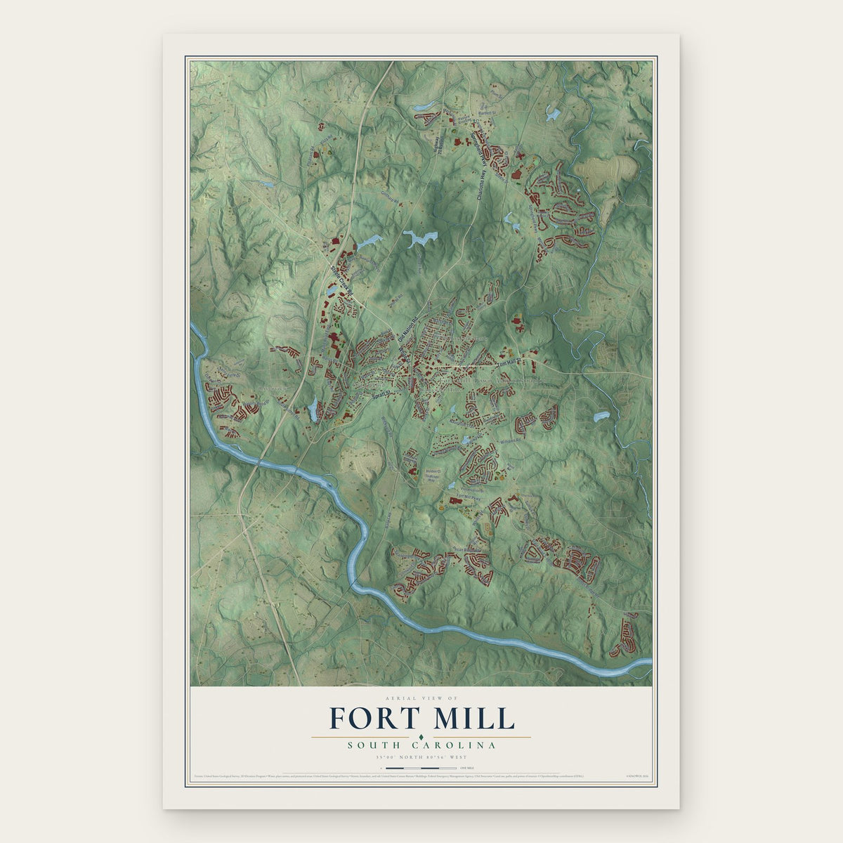
A new map of Fort Mill, South Carolina, made in 2026 and printed to order on thick archival matte paper.
12" x 18" Archival Matte Print
A Map of Home. A Work of Art.
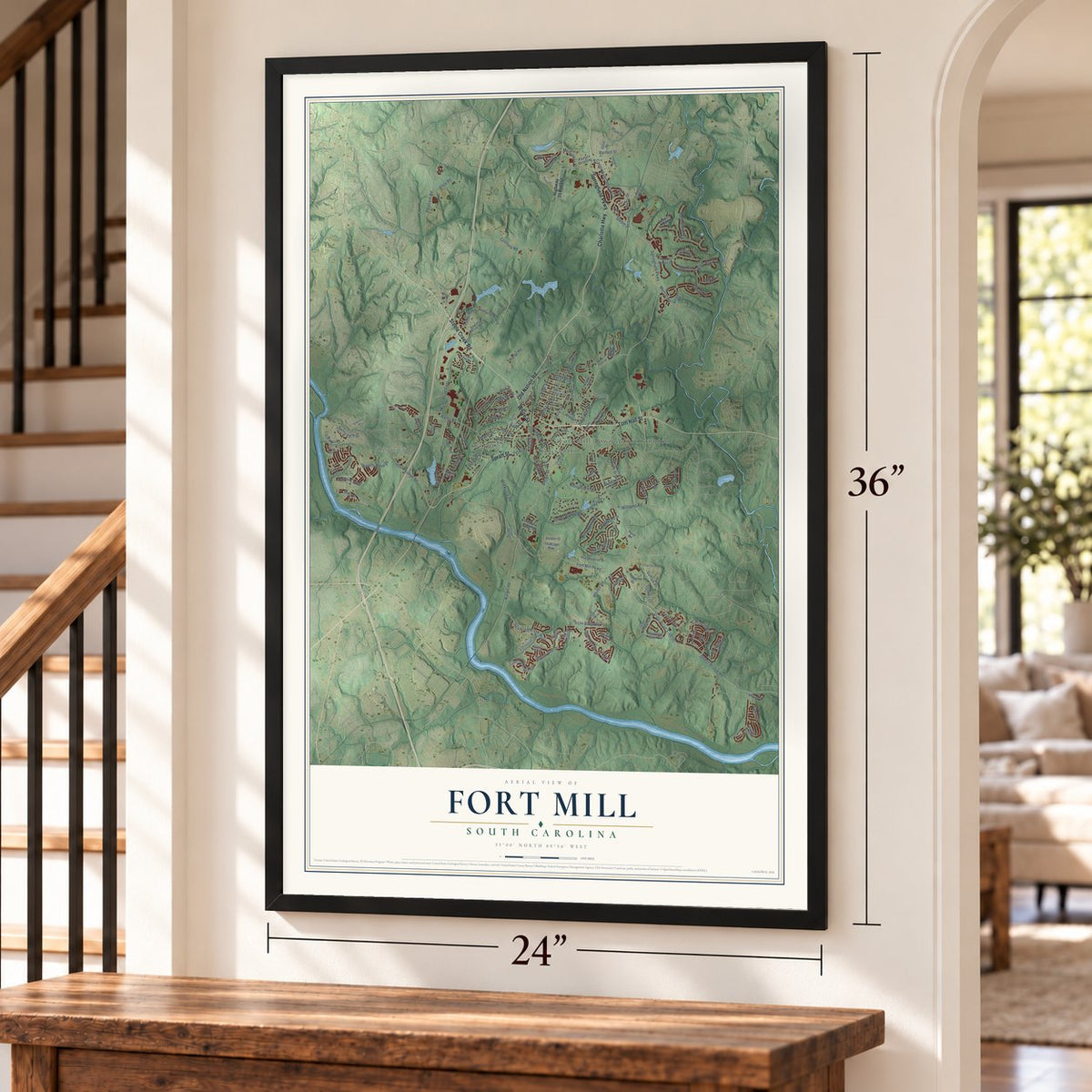
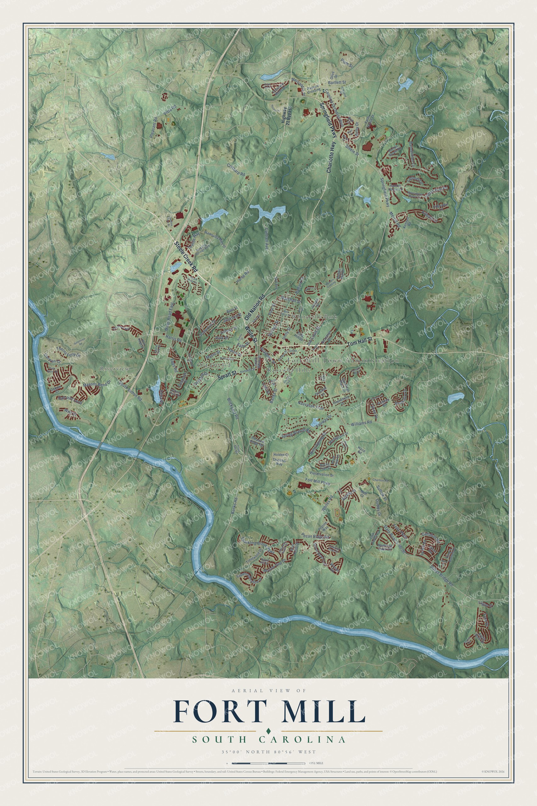
Explore Fort Mill, South Carolina from a whole new perspective. Created using aerial imagery and detailed geographic data, this map captures Fort Mill building by building, with labeled streets, familiar landmarks, and shaded topographical relief that highlights the natural contours of the landscape.
Combining modern data with the timeless character of a vintage atlas, this map is just as interesting up close as it is beautiful on the wall. Whether you grew up in Fort Mill, spent memorable years there, or call it home today, this unique map is a great way to celebrate a place that means something to you. Zoom in on the preview to look for your street, and then order a print to put your memories on the wall.
Three ways to hang it
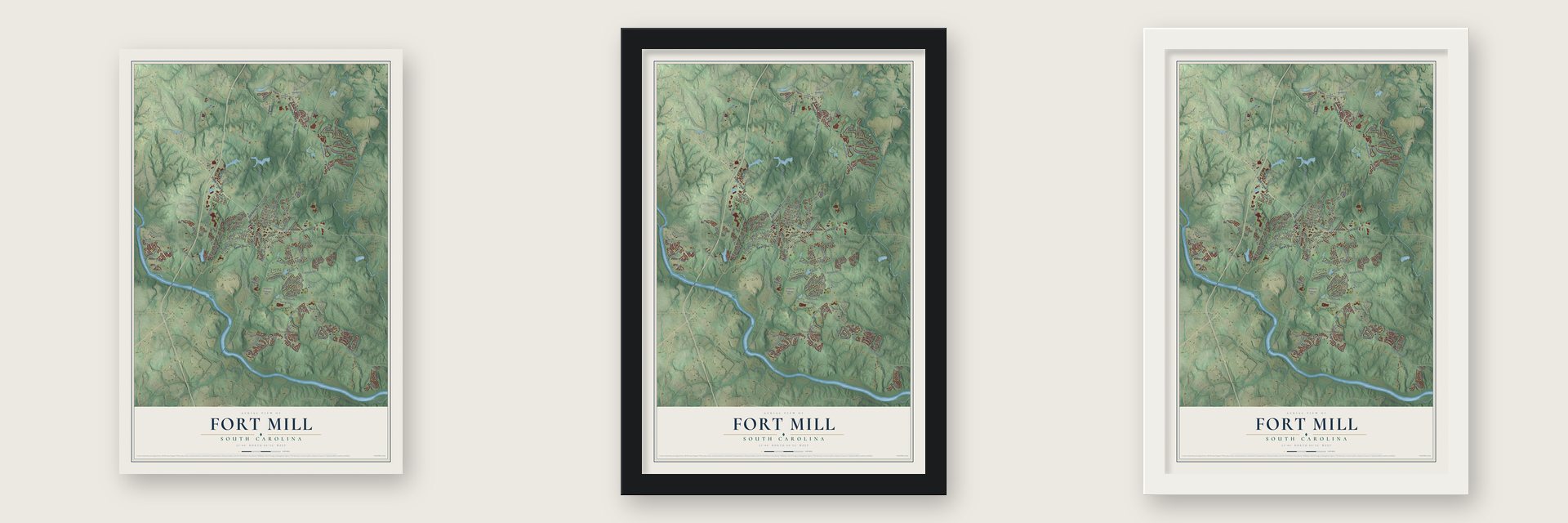
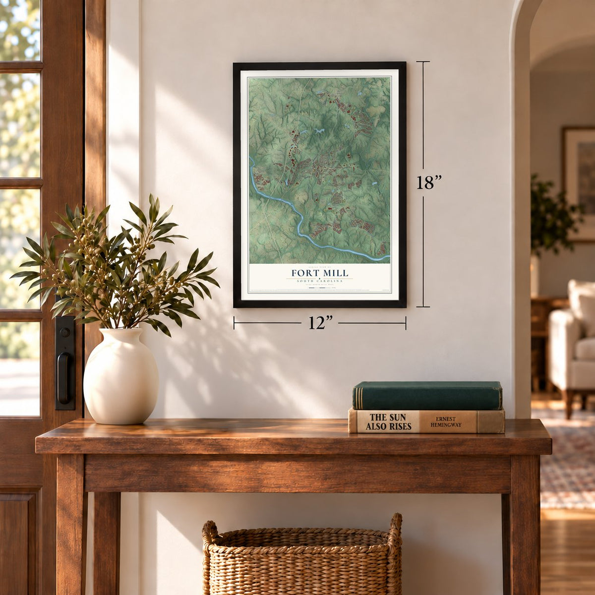
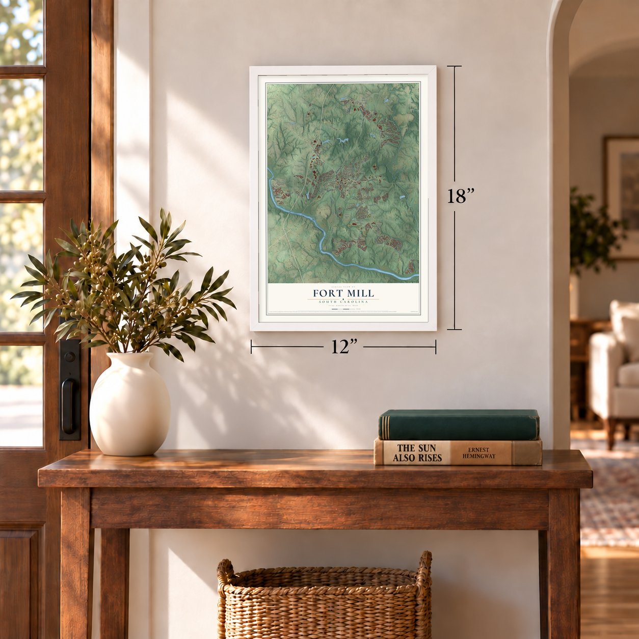
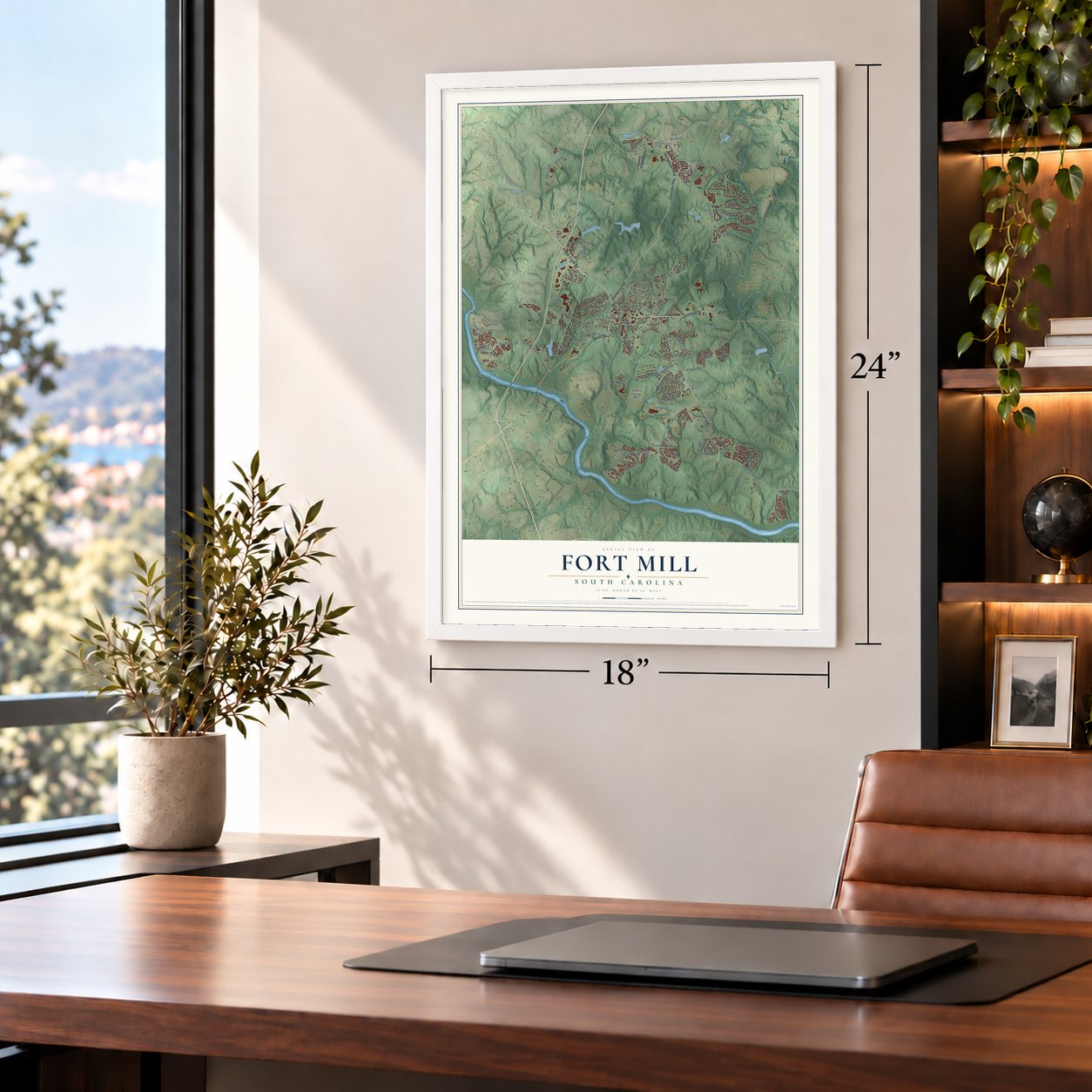
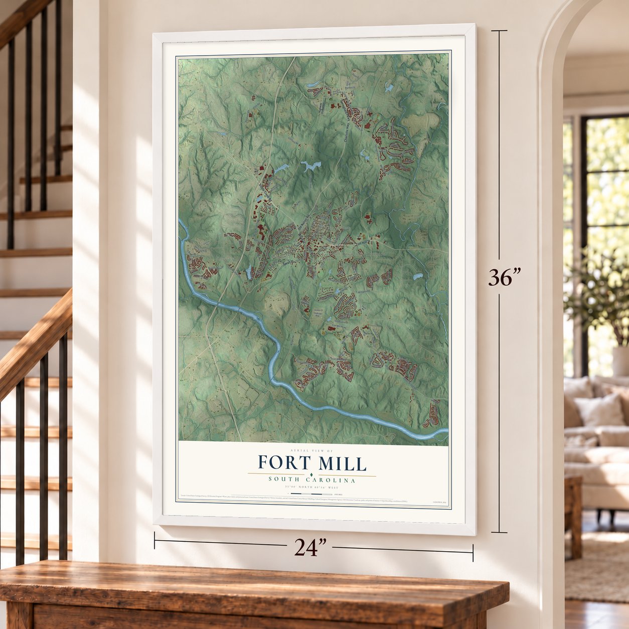
Unframed archival matte, a black wood frame or a white wood frame.
Up close
Geography Worth Displaying
This map was created using accurate cartographic data and authoritative geographic sources, including the U.S. Geological Survey and the Census Bureau. The map brings together terrain, waterways, roads, and building detail. The majority of the streets are labeled, houses are accurately depicted, and the topography is derived from government sources. Combining local data with carefully composed color and shading leads to this beautifully detailed Fort Mill artwork for your wall.
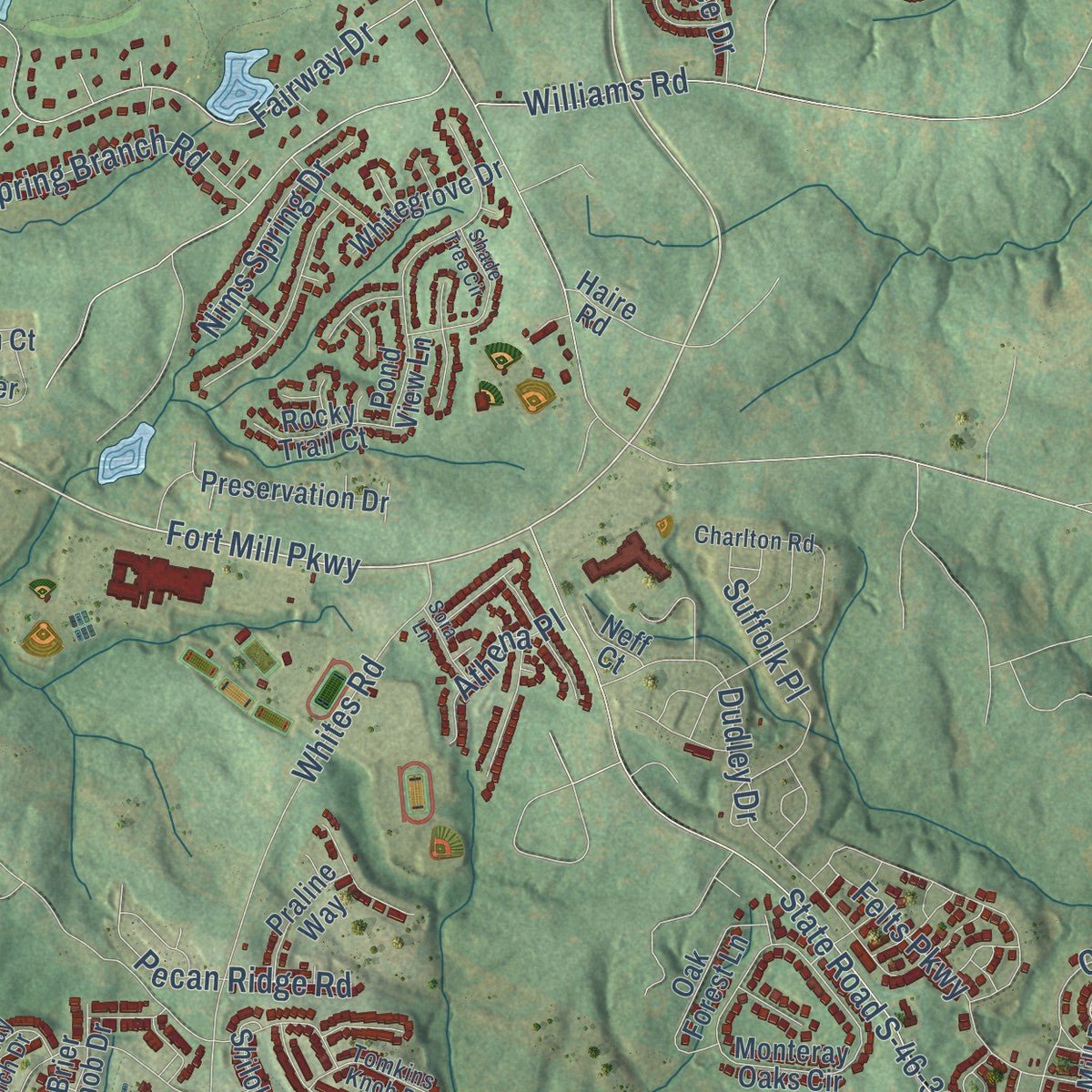
Rather than simply showing street outlines, we’ve included as many of the street names as we could reasonably fit on the map while keeping their names legible. Zoom in on the high resolution preview to see exactly what’s on the map. We truly set out to create a statement piece for anyone who loves Fort Mill. So whether it’s for you, or a gift for someone you love, we hope this map of Fort Mill brings back fond memories.
Read the story behind this map of Fort Mill, South Carolina from 2026.

About Fort Mill, South Carolina
Fort Mill is a town of 24,521 people in York County, just south of Charlotte, North Carolina. The Catawba people lived on this land for many years, and Scots-Irish families started coming in the 1750s and 1760s, so a small settlement grew up among them. The town was established in 1873 and named for two landmarks: a colonial fort meant to guard the Catawba from raiders to the north, and Webb's Mill.
Textile mills opened here in the late 19th century, and the town grew fast around them. When many of those mills later closed, Fort Mill kept on growing anyway, this time as a major suburb of Charlotte.
“The Catawbas and Cherokees requested that two forts be built to protect them from their enemies; while Fort Dobbs in North Carolina was completed, no work was ever done on the Fort Mill fort.”
- Welcomed by the CatawbaWilliam Spratt and his wife Elizabeth were traveling across upper South Carolina by wagon in the mid-18th century, and one night they stopped with the Catawba. Their hosts invited them to stay and gave them a large tract of land, which made them the area's first white settlers. John Spratt, one of their descendants, served in the U.S. House from 1983 to 2011, and Spratt Cemetery joined the National Register in 2007.
- The last Confederate Cabinet meetingJefferson Davis and his Cabinet came through Fort Mill in 1865 as they fled Richmond. The full Cabinet held its final meeting here, at the White Homestead.
- Heritage USAIn the 1970s and 1980s, the television evangelist Jim Bakker ran Heritage USA in Fort Mill. That ministry later closed, and the site has reopened as Heritage International Ministries.
- Peaches and a greenwayThe town's peach orchards are well known, and so is the Anne Springs Close Greenway, a preserve of about 2,300 acres where lakes, forests and pastures are crossed by trails for walkers, cyclists and riders on horseback. Each year Fort Mill also holds a Strawberry Festival at Walter Elisha Park.
Find your street
Names on the Fort Mill map
Every name below is printed on this map. Look for your street, your school, the park where you played, or the pond down the road.
Places and landmarks5
- Fort Mill Town Administration
- Kanawha Hills
- Old Orchid
- Riverview
- Whiteville Park
Streets and roads160
- Steele Creek Road
- Tom Hall Street
- Springfield Parkway
- White Street
- Charlotte Highway
- Old Nation Road
- Spratt Street
- Fort Mill Parkway
- Steele Street
- Harris Street
- Harris Road
- Banks Street
- Springs Street
- Brickyard Road
- Marshall Street
- Pine Street
- Jackson Street
- Dobys Bridge Road
- State Road S-46-36
- Masons Bend Drive
- Banks Road
- Carolina Orchards Boulevard
- Fairway Drive
- Munn Road East
- Dudley Drive
- Bryson Gap Drive
- Pleasant Road
- Sparkling Brook Parkway
- Felts Parkway
- Callahan Road
Show all 160 streets
- Whites Road
- South Sutton Road
- Unity Street
- Bannerman Lane
- Academy Street
- Suffolk Place
- Therns Ferry Drive
- Coltharp Road
- Tatton Hall Road
- Williams Road
- Nauvasse Trail
- Half Pint Loop
- Kilburn Lane
- Horse Road
- Epps Road
- Spring Branch Road
- Pecan Ridge Road
- Weir Court
- Vista Road
- Cantrell Avenue
- Joe Louis Street
- Somerton Drive
- Nims Spring Drive
- Link Street
- Orchard Drive
- Bartlett Street
- Textile Way
- Myers Street
- Oarman Court
- Athena Place
- Ballard Court
- Mercantile Place
- Merritt Road
- Park Drive
- Kirby Drive
- Delta Drive
- Latimer Lane
- Tyne Drive
- Tybee Drive
- Lagan Court
- Faile Street
- Plum Street
- Highway 21 Bypass
- South White Street
- Webbs Mill Drive
- King's Bottom Drive
- Monteray Oaks Circle
- Arges River Drive
- Still Avenue
- Pond View Lane
- Sapphire Meadow Drive
- Horton Grove Road
- Creekside Drive
- Trentwood Drive
- East Hill Street
- Friendfield Drive
- Shiloh Bend Trail
- Wamsutta Mills Drive
- Preservation Drive
- Oak Forest Lane
- Crescent Moon Drive
- Savannah Place Drive
- Brier Knob Drive
- Brookshire Drive
- Whitegrove Drive
- Thatcher Way
- Ivy Mill Road
- Calhoun Street
- Farm House Drive
- Rocky Trail Court
- Kennell Road
- Pleasant Ridge Road
- Edbrooke Lane
- Pickney Blf
- Holden Court
- Praline Way
- Hambly House Lane
- Pasture Crossing
- Juniper Street
- Winhall Road
- Bozeman Drive
- Grimball Lane
- Haire Road
- Bass Street
- Bud Court
- Neff Court
- Oxbow Court
- Olive Street
- Ervin Street
- Kanawha Street
- Kingsley Springs Boulevard
- Wessington Manor Lane
- Charlton Road
- Riverwood Drive
- Grier Street
- Forrest Street
- Still River Way
- Hideaway Gulch Drive
- Farben Way
- Well Ridge Drive
- Tomkins Knob Drive
- Maple Hill Drive
- Kelly Court
- Fish Story Court
- Laurel Fork Drive
- Wilkes Place Drive
- Food Svc Road
- Country Club Drive
- Peach Place Drive
- Ardrey Street
- Thames Circle
- Parkers Fry
- Nims Street
- McKenzie Street
- Warpers Lane
- Shade Tree Circle
- Angel Oak Drive
- Weavers Crossing
- Sanders Street
- Hyssop Court
- Suttonview Road
- Hammond Road
- Palmetto Bay Drive
- East Close Street
- Bloom Street
- Sora Lane
- Carolina Place Drive
- Allison Street
- Bliss Drive
- Beck Street
Names are listed as they appear on the printed map. Zoom into the product photos to find them.
The art of mapping a place
How This Map Was Made
Real places. Remarkable detail. Discover the layers that turn geographic data into a map of home.

The view from above
Aerial imagery reveals the character of the land: woodland, open fields, and the patterns of a place.

The shape of the land
Elevation data brings hills, valleys, and subtle changes in the landscape into view.

The details of home
Roads, waterways, and building footprints come together to make the map feel unmistakably local.

Geography becomes art
Considered color, shading, and typography bring the layers together in a map made for your wall.


Process illustrated with Mendon, Massachusetts. Aerial imagery: USDA NAIP. Terrain: USGS 3D Elevation Program. Map details and finished artwork: KNOWOL.
The Details
About This Print
Choose an archival matte print, or a black or white Ayous wood frame. The archival matte print is unframed.
Select your size and finish above to see the matching product image and price.
Materials & Craftsmanship
A contemporary map with the character of a classic atlas, printed on archival matte paper. Optional frames are made from Ayous wood.
Your printed map does not include the watermark shown in the full-map preview.
Shipping & Delivery
Free shipping within the United States. Every print is made to order in the USA.
Buying a gift? Add a note in your cart and we'll include it. We never put prices in the package.
Prints ship within 2 to 3 business days. Allow 7 to 10 days total from ordering for delivery. Timing may vary during holidays or periods of high order volume.
Read our shipping policy.
Returns and damaged prints
Each print is made to order. Change-of-mind refunds are not available after production.
If your print arrives damaged, misprinted or incorrect, contact support@knowol.com within 30 days of receiving it. Include your order number, photos and a description of the issue.
Read our full refund and replacement policy. For questions about your order, email support@knowol.com.
Find your town
Looking for another city?
Find a map of home in our South Carolina collection, or any town in the country.
Nearby
Maps of towns near Fort Mill
Know someone from one of these towns? Their map makes a great gift.
 Baxter Village
, South Carolina
From $39.99See the map
 Riverview
, South Carolina
From $39.99See the map
 Tega Cay
, South Carolina
From $39.99See the map
More maps nearby: India Hook, Rock Hill, Newport, Lesslie and Lake Wylie.