
Search for another town



Free U.S. delivery 7 to 10 days after you order
Rock Hill, South Carolina Map Art
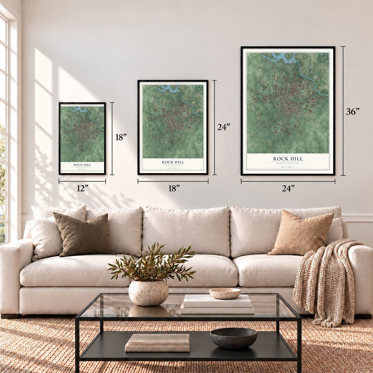
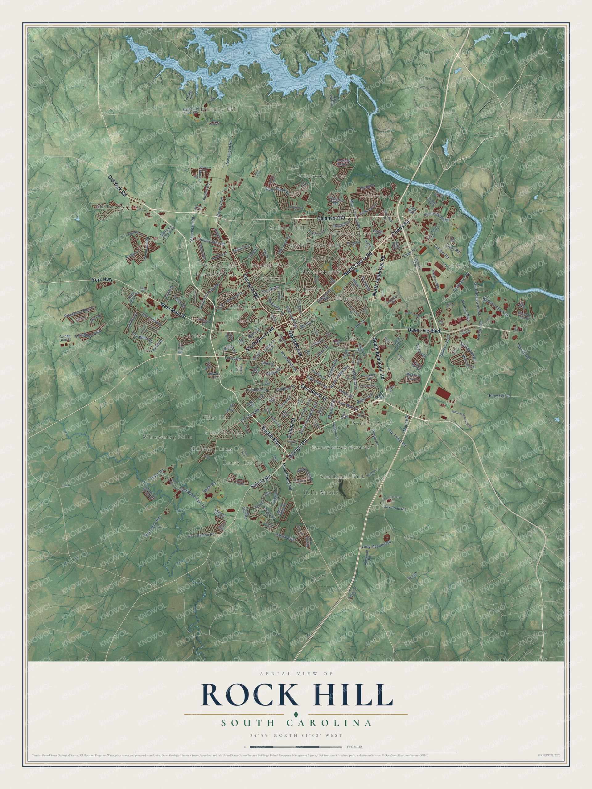
A new map of Rock Hill, South Carolina, made in 2026 and printed to order on thick archival matte paper.
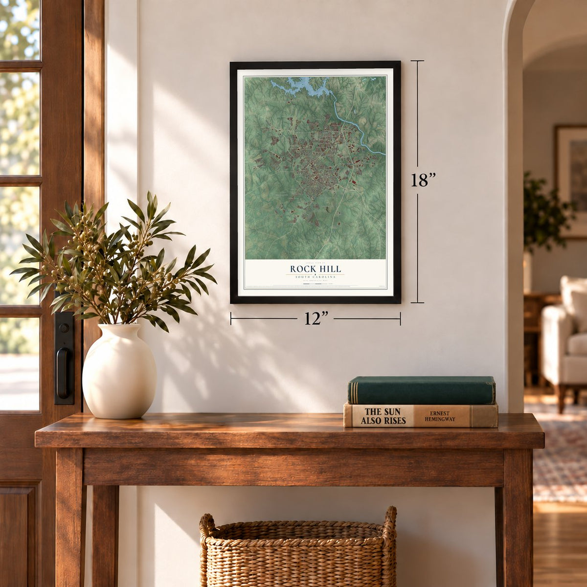
12" x 18" Archival Matte Print
A Map of Home. A Work of Art.
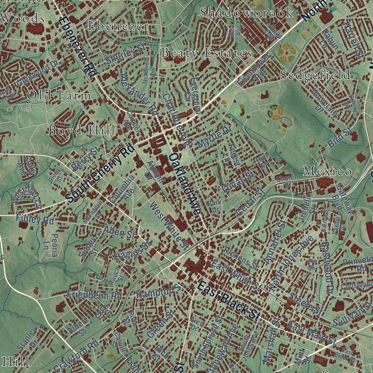
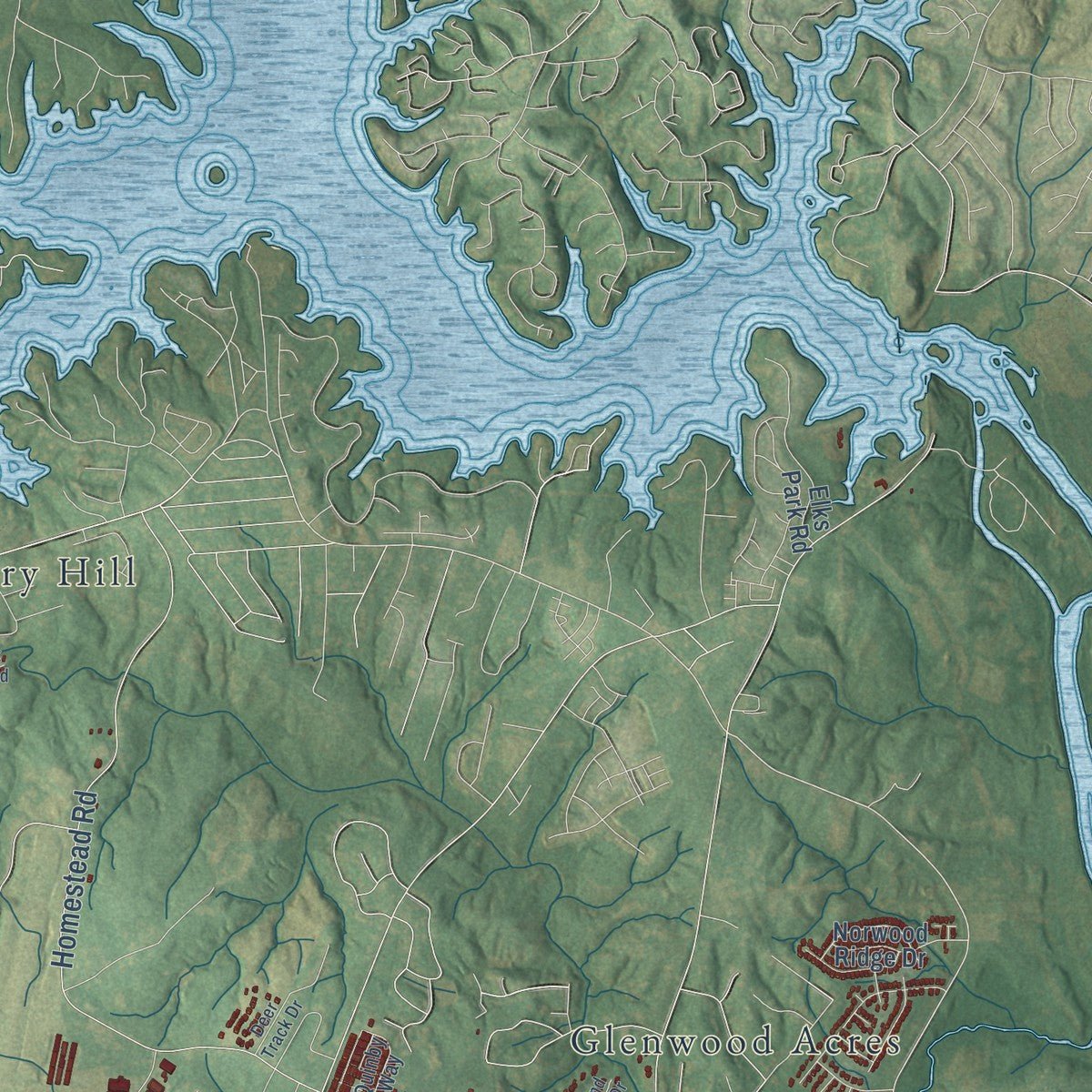
Explore Rock Hill, South Carolina from a whole new perspective. Created using aerial imagery and detailed geographic data, this map captures Rock Hill building by building, with labeled streets, familiar landmarks, and shaded topographical relief that highlights the natural contours of the landscape.
Combining modern data with the timeless character of a vintage atlas, this map is just as interesting up close as it is beautiful on the wall. Whether you grew up in Rock Hill, spent memorable years there, or call it home today, this unique map is a great way to celebrate a place that means something to you. Zoom in on the preview to look for your street, and then order a print to put your memories on the wall.
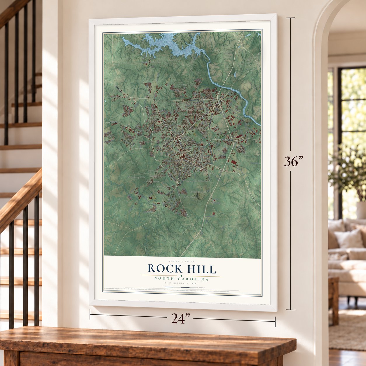
Three ways to hang it
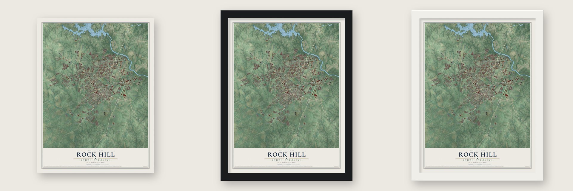
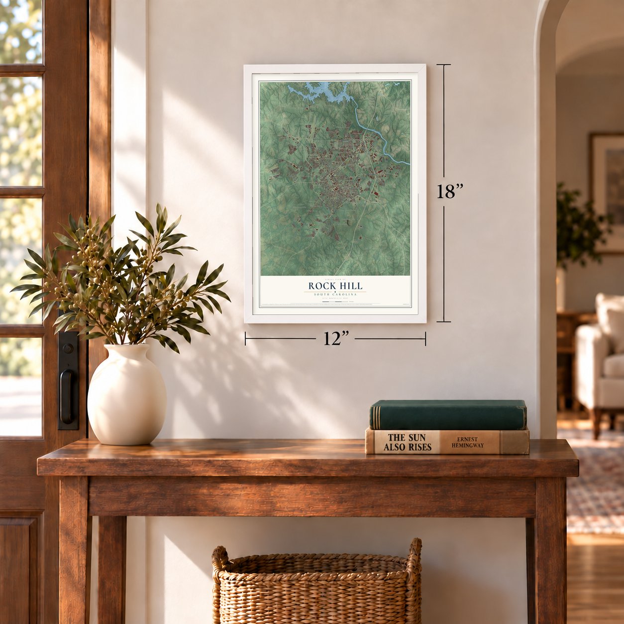
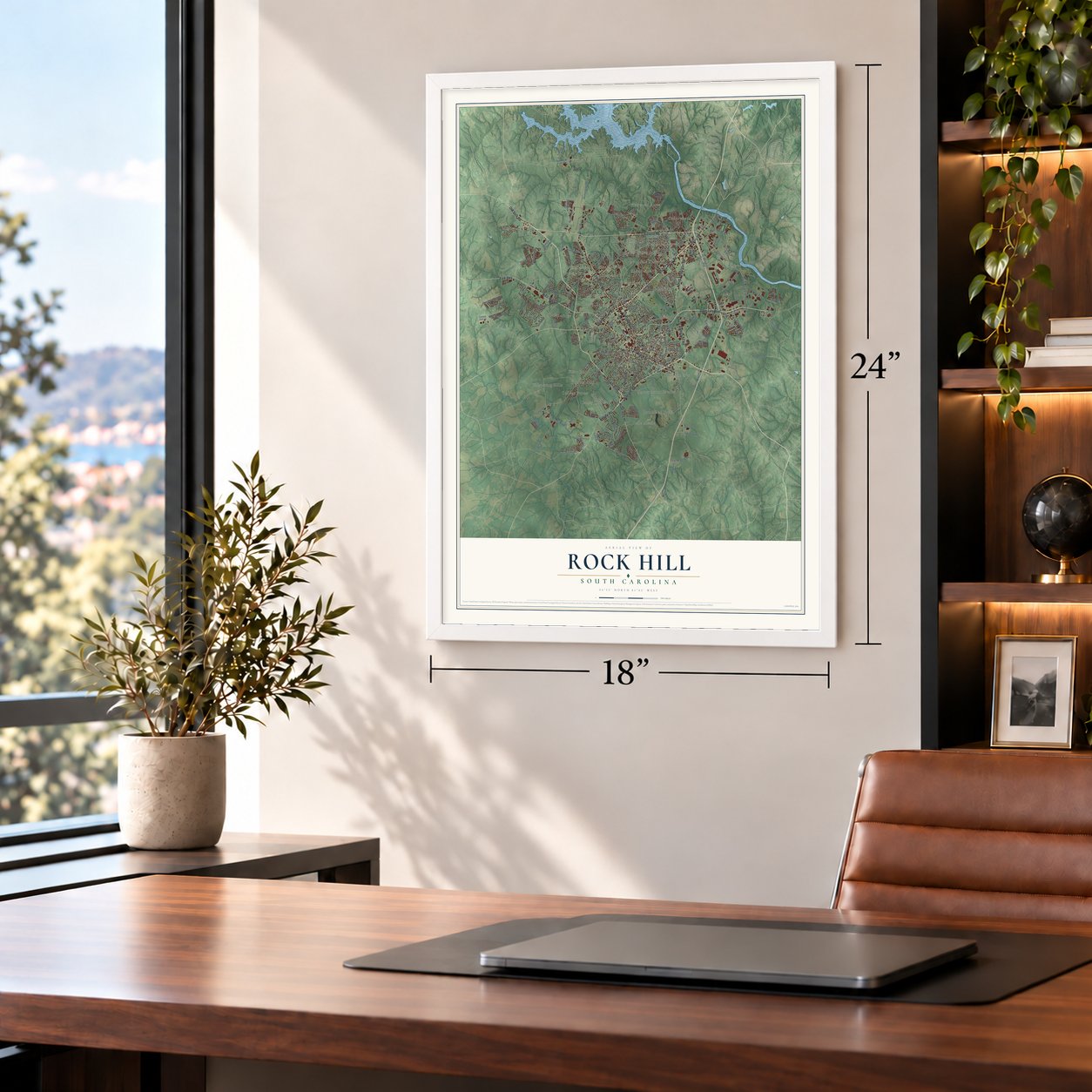
Unframed archival matte, a black wood frame or a white wood frame.
Up close
Geography Worth Displaying
This map was created using accurate cartographic data and authoritative geographic sources, including the U.S. Geological Survey and the Census Bureau. The map brings together terrain, waterways, roads, and building detail. The majority of the streets are labeled, houses are accurately depicted, and the topography is derived from government sources. Combining local data with carefully composed color and shading leads to this beautifully detailed Rock Hill artwork for your wall.
Rather than simply showing street outlines, we’ve included as many of the street names as we could reasonably fit on the map while keeping their names legible. Zoom in on the high resolution preview to see exactly what’s on the map. We truly set out to create a statement piece for anyone who loves Rock Hill. So whether it’s for you, or a gift for someone you love, we hope this map of Rock Hill brings back fond memories.
Read the story behind this map of Rock Hill, South Carolina from 2026.
About Rock Hill, South Carolina
Rock Hill is a city of 74,372 people in York County, near the Catawba River and about 25 miles south of Charlotte. A few settlers had come by the 1830s and 1840s, but the town grew out of a railroad. The Charlotte and South Carolina Railroad first wanted a station at Ebenezerville, but people there turned it down because trains were dirty and noisy. The surveyors moved the line two miles away, beside a landmark they called "rocky hill."
The White, Black and Moore families were the three largest landowners nearby. They wanted a depot close at hand, so they gave the railroad a right of way across their land. Building started in 1848, with George Pendleton White under contract for part of the line. The first passenger train pulled in on March 23, 1852, and the post office opened on April 17, 1852. Templeton Black hired surveyor Squire John Roddey to lay out a main street, and he sold its first lot to Ira Ferguson for $125.
“eleven stores, two churches, two bars, two hotels, two carriage shops, three blacksmith shops, three shoe shops, one tannery, one cabinet shop, and elementary schools for white girls and boys.”
- Incorporated on the third tryLandholders and merchants first asked the General Assembly to incorporate the town on October 19, 1855, but the lawmakers did nothing. In 1868, 48 newcomers claimed over 300 residents. The big landowners feared new taxes and said there were only 100, and the legislature acted on neither petition. In 1869, 57 people signed in favor and only seven against, though those seven owned 80% of the land. The town was incorporated on February 26, 1870.
- Pine Grove Academy, 1854Rock Hill Academy, the town's first school, opened in September 1854 on land given by Ann Hutchinson White after her husband George died. Most people called it Pine Grove Academy for the trees around it. It had 60 boys in 1856, and a school for girls later opened on the same spot.
- Beauregard's headquartersOn February 21, 1865, Confederate General P. G. T. Beauregard made Rock Hill his temporary headquarters. He had the roads to Charlotte blocked to keep General Sherman out, but Sherman marched another way. All through the war the depot moved soldiers and supplies, and families nursed the sick and wounded at home because the town had no hospital.
- The Friendship NineIn February 1961, nine Black men held a sit-in at the whites-only McCrory's lunch counter downtown and were sent to the York County prison farm. They refused bail, a new tactic called "jail, no bail" that spared civil rights groups huge costs, and other groups soon copied it. Eight of the nine studied at Friendship Junior College in town. The lunch counter site, now called Kounter, carries their names.
- John Lewis and the Freedom RidersLater in 1961, 13 Freedom Riders made Rock Hill their first stop in the Deep South. They were testing a 1960 Supreme Court ruling against segregated interstate facilities. A white mob beat John Lewis and another Black rider as they left the bus, and the police did not stop it. Lewis, by then a congressman from Georgia, got the key to the city in 2002. On January 21, 2008, Mayor Doug Echols apologized to him on behalf of the city.
Find your street
Names on the Rock Hill map
Every name below is printed on this map. Look for your street, your school, the park where you played, or the pond down the road.
Places and landmarks29
- Avondale Terrace
- Beaty Estates
- Belle Meade
- Botany Woods
- Boyd Hill
- Cedar Grove Park
- Cedarwood
- Clinton Park
- College Farms
- Ebenezer
- Flint Hill
- Glenwood Acres
Show all 29 places
- Heatherwood
- Hickory Hill
- Laney Terrace
- Mexico
- Miller Crossing
- Oakwood Acres
- Old Farm
- Pineridge
- Red River
- Sedgefield
- Shadowbrook
- Shiland Hills
- Southland Park
- Stoneybrook Estates
- Sunrise Acres
- Whispering Hills
- Wintercrest
Streets and roads226
- North Cherry Road
- West Main Street
- Celanese Road
- Ebenezer Road
- Albright Road
- Old York Road
- East Black Street
- South Cherry Road
- South Anderson Road
- Saluda Street
- Saluda Road
- Heckle Boulevard
- Cherry Road
- Oakland Avenue
- York Highway
- Dave Lyle Boulevard
- North Anderson Road
- State Road S-46-50
- Friedheim Road
- Bird Street
- Springdale Road
- Celriver Road
- Eastwood Drive
- Mount Gallant Road
- East Main Street
- Crawford Road
- Charlotte Avenue
- Farrow Drive
- Eden Terrace
- Ogden Road
Show all 226 streets
- Porter Road
- Galleria Boulevard
- Waterford Park Drive
- East White Street
- Rawlinson Road
- Riverwalk Parkway
- Oakdale Road
- Airport Road
- Vernsdale Road
- South Herlong Avenue
- Fire Tower Road
- Neely Road
- Myrtle Drive
- South Stonewall Avenue
- Oak Pond Road
- Bryant Boulevard
- Hollis Lakes Road
- Homestead Road
- North Jones Avenue
- East Robertson Road
- Long Meadow Road
- The Crossing
- Green Street
- Annafrel Street
- Jack White Drive
- Finley Road
- Plantation Hills Drive
- Alexander Road
- Commerce Drive
- East Rambo Road
- West White Street
- Cedar Street
- Meeting Boulevard
- Hopewell Road
- Landry Lane
- Raven Drive
- Park Ridge Boulevard
- Hagins Street
- Aspendale Road
- Bailey Avenue
- Laurel Creek Drive
- Digby Road
- Southland Drive
- Hampton Street
- Sullivan Street
- Shurley Street
- Franklin Street
- Grady Drive
- Lucas Street
- Steele Street
- Frank Street
- Evelyn Street
- Marine Drive
- Marshall Street
- Allen Street
- Church Road
- Harrell Street
- Eagle Drive
- Hardy Drive
- Berry Street
- Mount Holly Road
- Red River Road
- State Road S-46-195
- Blackmon Street
- Stanley Drive
- Orr Drive
- India Hook Road
- Riverview Road
- Museum Road
- Country Club Drive
- Corporate Boulevard
- Paragon Way
- Alumni Drive
- Hood Center Drive
- Pinewood Lane
- Lakeside Drive
- South Spruce Street
- Fieldcrest Circle
- University Drive
- Meadow Glen Lane
- Glenwood Drive
- Rolling Ridge Road
- Cole Avenue
- Princeton Road
- Patriot Parkway
- Mancke Drive
- Iredell Street
- Westover Circle
- Crosstrail Ridge
- Foxridge Road
- Evergreen Circle
- Old Pointe School Road
- Langston Street
- Pickens Street
- Columbia Avenue
- Harper Gault Road
- Soft Winds Village Drive
- Millhouse Drive
- Ablewood Road
- Quiet Acres Road
- Norwood Ridge Drive
- Lavington Court
- Rich Street
- Notable Lane
- Eisenhower Road
- Montclair Drive
- Gateway Boulevard
- Crooked Stick Drive
- Sidney Street
- Pecan Circle
- Elks Park Road
- Bon Rea Road
- Essex Hall Drive
- Golden Gate Court
- Hayes Drive
- Peoria Lane
- Faith Boulevard
- Cypress Tree Drive
- Albert Street
- Burton Street
- Rabun Lane
- Dewars Drive
- Forest Lane
- Mint Street
- Colby Avenue
- Eden Terrace Extended
- Carroll Street
- Cross Point Drive
- Hull Avenue
- Harlinsdale Drive
- Dunkins Ferry Road
- Williams Industrial Boulevard
- Deas Street
- South Jones Avenue
- Anvil Draw Place
- Christopher Circle
- Arch Drive
- Overbrook Drive
- Church Street
- Cascade Avenue
- Interconnect Drive
- Ivy Hill Lane
- Keswick Lane
- Montgomery Drive
- Quinby Way
- Red Fox Trail
- Rauch Street
- Caterpillar Drive
- Irwin Street
- Camden Avenue
- Barringer Road
- Friar Road
- Hawkfield Road
- Grier Street
- Amerson Drive
- Windsor Ridge Drive
- Round Hill Court
- Cowan Road
- Tabor Drive
- Sloan Drive
- Rock Street
- Apex Drive
- Park Drive
- Herrons Ferry Road
- John Ross Parkway
- Cavendale Drive
- Colony Drive
- Bose Avenue
- West Robertson Road
- Luray Way
- Tysons Forest Drive
- Pennington Road
- Glenarden Drive
- Von Buren Boulevard
- Thornwell Avenue
- Cureton Drive
- Summit View Drive
- Rockdale Street
- Rockwood Drive
- King Drive
- Spyglass Way
- Menzies Drive
- Land Fall Drive
- Glenn Street
- McFadden Street
- Sebring Drive
- Barrow Street
- Heathland Drive
- Durant Drive
- Creek Bluff Road
- Locke Lane
- Deer Track Drive
- Keiger Street
- Paxton Street
- Green Bay Drive
- Iris Circle
Names are listed as they appear on the printed map. Zoom into the product photos to find them.
The art of mapping a place
How This Map Was Made
Real places. Remarkable detail. Discover the layers that turn geographic data into a map of home.

The view from above
Aerial imagery reveals the character of the land: woodland, open fields, and the patterns of a place.

The shape of the land
Elevation data brings hills, valleys, and subtle changes in the landscape into view.

The details of home
Roads, waterways, and building footprints come together to make the map feel unmistakably local.

Geography becomes art
Considered color, shading, and typography bring the layers together in a map made for your wall.


Process illustrated with Mendon, Massachusetts. Aerial imagery: USDA NAIP. Terrain: USGS 3D Elevation Program. Map details and finished artwork: KNOWOL.
The Details
About This Print
Choose an archival matte print, or a black or white Ayous wood frame. The archival matte print is unframed.
Select your size and finish above to see the matching product image and price.
Materials & Craftsmanship
A contemporary map with the character of a classic atlas, printed on archival matte paper. Optional frames are made from Ayous wood.
Your printed map does not include the watermark shown in the full-map preview.
Shipping & Delivery
Free shipping within the United States. Every print is made to order in the USA.
Buying a gift? Add a note in your cart and we'll include it. We never put prices in the package.
Prints ship within 2 to 3 business days. Allow 7 to 10 days total from ordering for delivery. Timing may vary during holidays or periods of high order volume.
Read our shipping policy.
Returns and damaged prints
Each print is made to order. Change-of-mind refunds are not available after production.
If your print arrives damaged, misprinted or incorrect, contact support@knowol.com within 30 days of receiving it. Include your order number, photos and a description of the issue.
Read our full refund and replacement policy. For questions about your order, email support@knowol.com.
Find your town
Looking for another city?
Find a map of home in our South Carolina collection, or any town in the country.
Nearby
Maps of towns near Rock Hill
Know someone from one of these towns? Their map makes a great gift.
 India Hook
, South Carolina
From $39.99See the map
 Newport
, South Carolina
From $39.99See the map
 Lesslie
, South Carolina
From $39.99See the map
More maps nearby: Riverview, Fort Mill, Baxter Village, Tega Cay and Catawba.