
Search for another town



Free U.S. delivery 7 to 10 days after you order
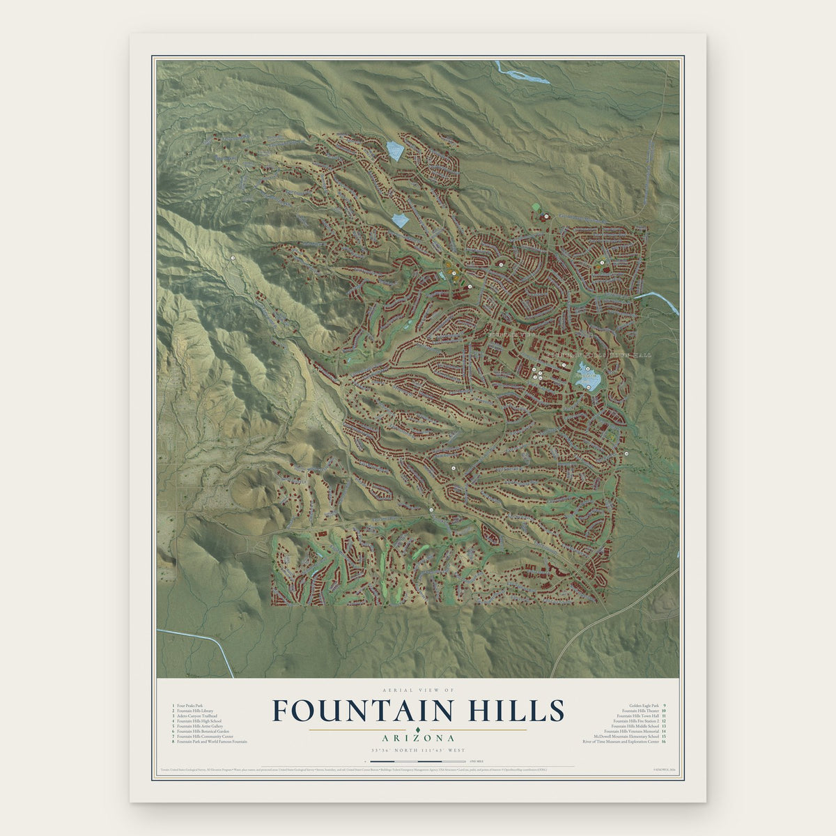
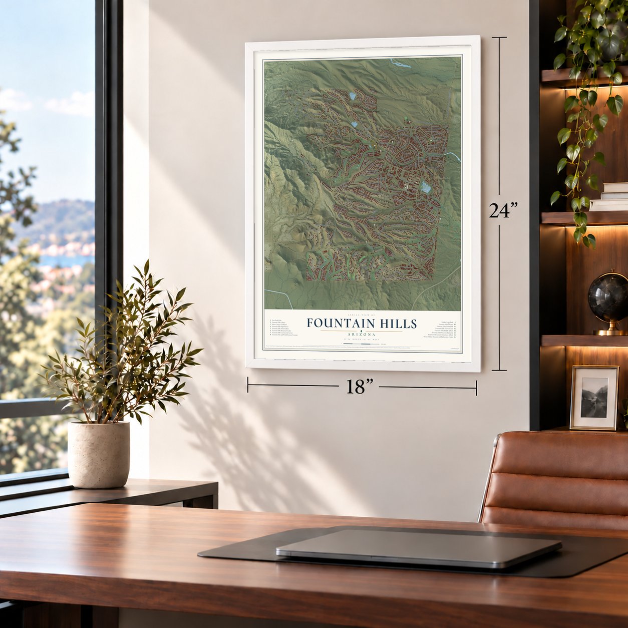
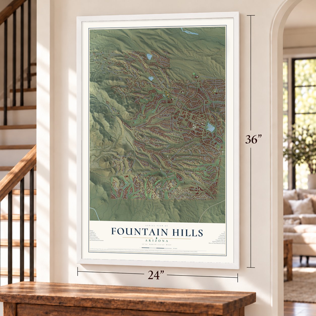
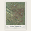
Fountain Hills, Arizona Map Art
Building by building, with labeled streets and shaded relief.
12" x 18" Archival Matte Print
A Map of Home. A Work of Art.
Explore Fountain Hills, Arizona from a whole new perspective. Created using aerial imagery and detailed geographic data, this map captures Fountain Hills building by building, with labeled streets, familiar landmarks, and shaded topographical relief that highlights the natural contours of the landscape.
Combining modern data with the timeless character of a vintage atlas, this map is just as interesting up close as it is beautiful on the wall. Whether you grew up in Fountain Hills, spent memorable years there, or call it home today, this unique map is a great way to celebrate a place that means something to you. Zoom in on the preview to look for your street, and then order a print to put your memories on the wall.

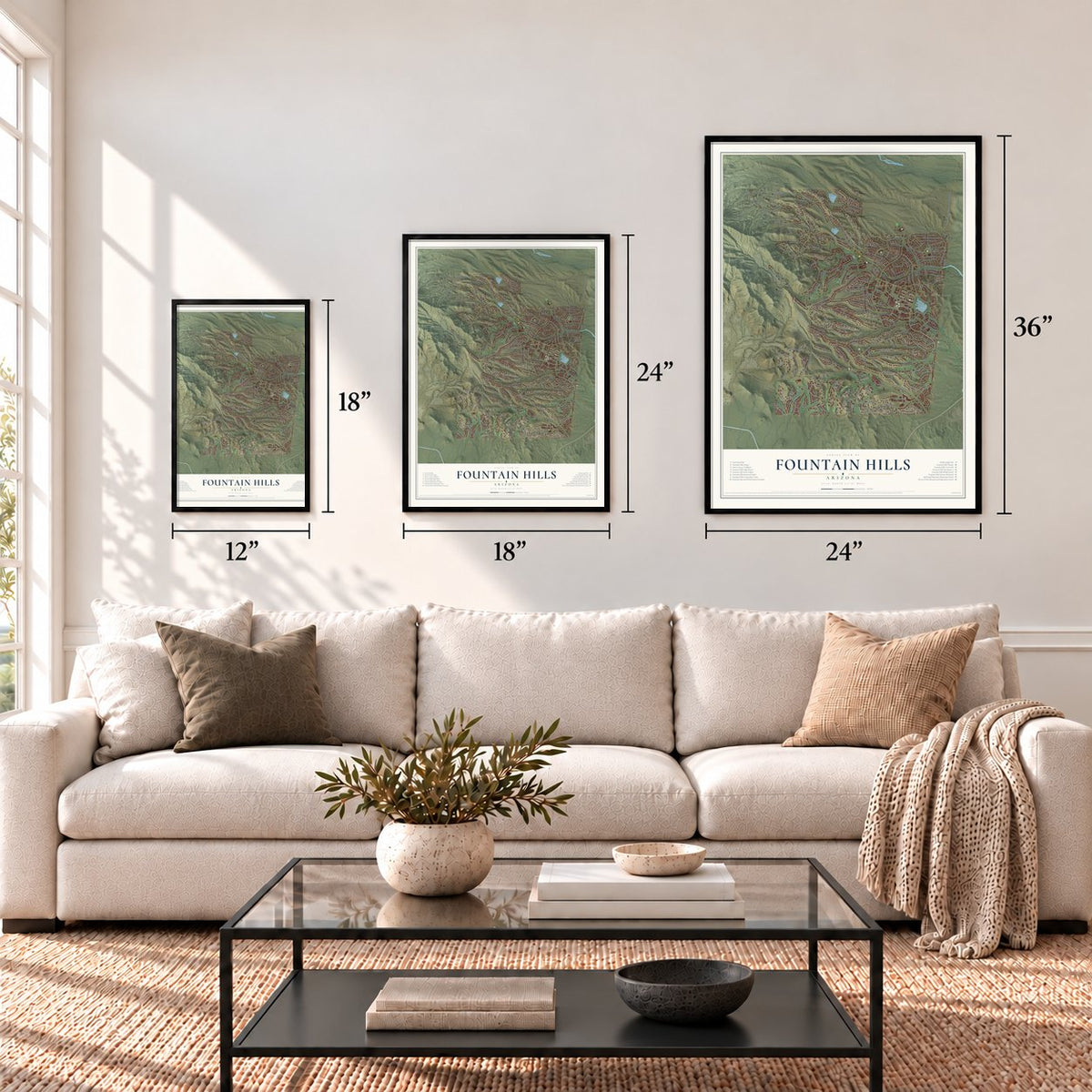
Three ways to hang it
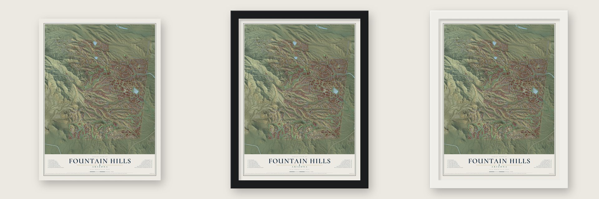
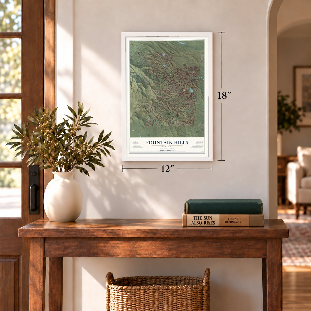
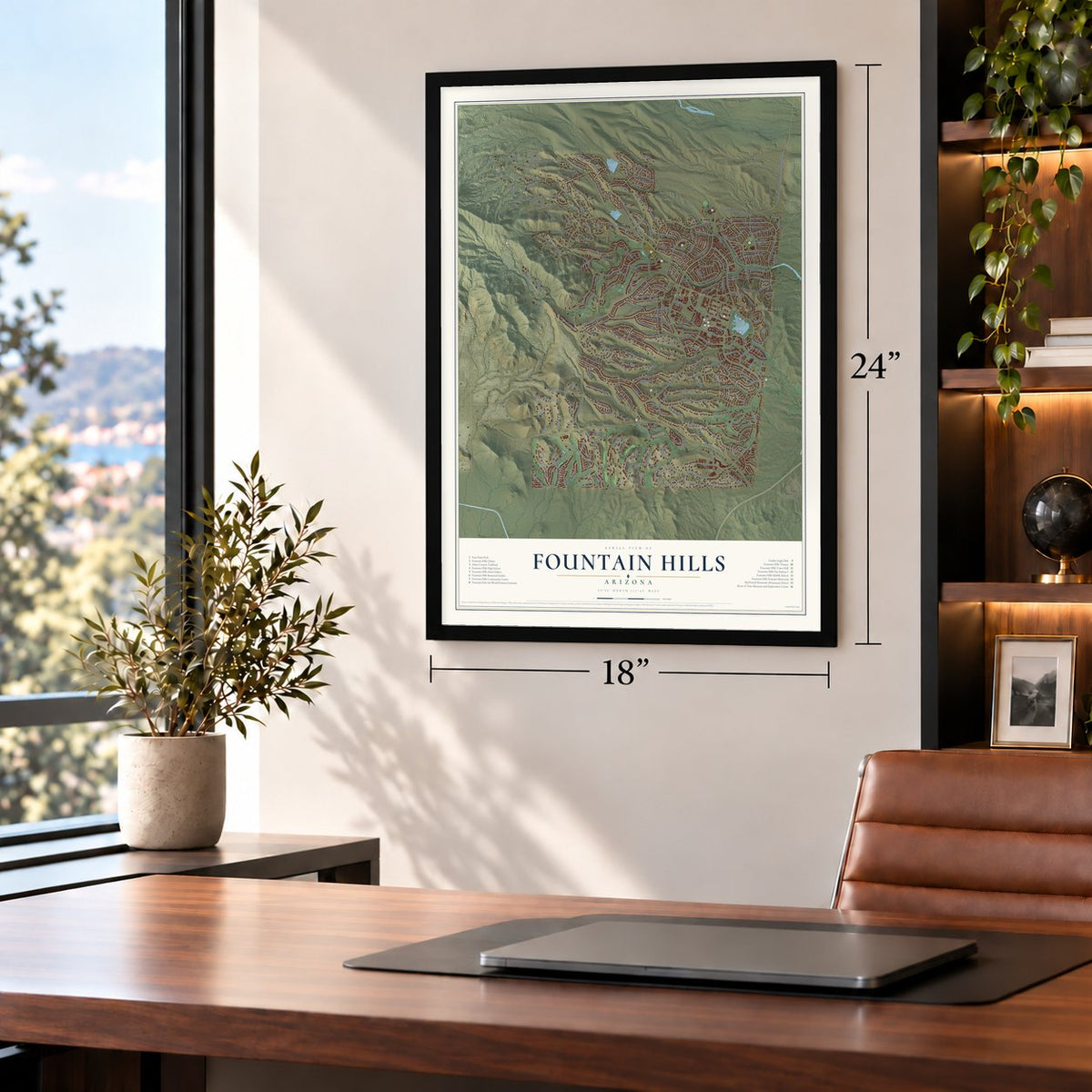
Unframed archival matte, a black wood frame or a white wood frame.
Up close
Geography Worth Displaying
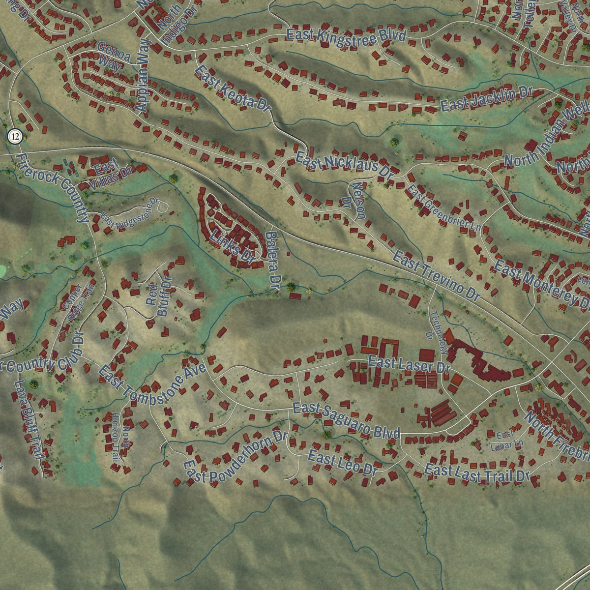
This map was created using accurate cartographic data and authoritative geographic sources, including the U.S. Geological Survey (USGS) and FEMA. The map brings together terrain, waterways, roads, and building detail. The majority of the streets are labeled, houses are accurately depicted, and the topography is derived from government sources. Combining local data with carefully composed color and shading leads to this beautifully detailed Fountain Hills artwork for your wall.
Rather than simply showing street outlines, we’ve included as many of the street names as we could reasonably fit on the map while keeping their names legible. Zoom in on the high resolution preview to see exactly what’s on the map. We truly set out to create a statement piece for anyone who loves Fountain Hills. So whether it’s for you, or a gift for someone you love, we hope this map of Fountain Hills brings back fond memories.
Explore the full map of Fountain Hills, Arizona and read about the local places it shows.
Find your street
Names on the Fountain Hills map
Every name below is printed on this map. Look for your street, your school, the park where you played, or the pond down the road.
Places and landmarks3
- Fountain Hills Town Hall
- Fountain View
- Fountain Park
Streets and roads281
- East Saguaro Boulevard
- Crestview Drive
- East McDowell Mountain Road
- Eagle Mountain Parkway
- McDowell Mountain Road
- East Fontana Way
- East Coyote Way
- Scorpion Drive
- East El Lago Boulevard
- North Mountain Parkway
- North Arista Lane
- North Saguaro Boulevard
- North Fountain Hills Boulevard
- East Shea Boulevard
- East Palisades Boulevard
- East Golden Eagle Boulevard
- Sunridge Drive
- Firerock Country Club Drive
- East Trevino Drive
- East Kingstree Boulevard
- North Eagle Ridge Drive
- Palisades Boulevard
- East Palomino Boulevard
- East Sunburst Drive
- North El Pueblo Boulevard
- North Palisades Boulevard
- East Glenbrook Boulevard
- North Crestview Drive
- East Thistle Drive
- East Sundown Drive
Show all 281 streets
- East Nicklaus Drive
- North Panorama Drive
- East El Pueblo Boulevard
- East Jacklin Drive
- Fireridge Trail
- North Indian Wells Drive
- Desert Canyon Drive
- Cholla Drive
- East Sierra Madre Drive
- East Bainbridge Avenue
- North Aspen Drive
- East Emerald Drive
- East Monterey Drive
- Sycamore Drive
- North Mountainside Drive
- East Ocotillo Drive
- Aspen Drive
- East Tombstone Avenue
- Greystone Drive
- East Tumbleweed Drive
- East Malta Drive
- East Richwood Avenue
- Summer Hill Boulevard
- East Grande Boulevard
- Arista Lane
- Shadow Canyon Drive
- East Parlin Drive
- East Cavern Drive
- North Cerro Alto Drive
- East Tepee Drive
- Centipede Drive
- North Longfeather
- North Nicklaus Drive
- North Sunset Drive
- East Inca Avenue
- East Ashbrook Drive
- East Sunflower Drive
- Amhurst Drive
- East Powderhorn Drive
- East Westby Drive
- East Last Trail Drive
- East Calaveras Avenue
- East Cholula Drive
- North Mimosa Drive
- North Pinto Drive
- East Oro Grande Drive
- East Rand Drive
- East Cactus Drive
- East Prairie Dog Trail
- East Hawk Drive
- East Westridge Drive
- East Keota Drive
- East Mayan Drive
- East La Pasada Drive
- Marathon Drive
- East Salida Drive
- Vista Drive
- East Echo Hill Drive
- East Calico Drive
- East Zapata Drive
- North Firebrick Drive
- North Yerba Buena Way
- East Laser Drive
- East Gunsight Drive
- Ironwood Drive
- Crimson Canyon
- East Arroyo Vista Drive
- East Primrose Drive
- East Verbena Drive
- North Fairlynn Drive
- Paradox Drive
- Alta Loma
- Brittlebush Lane
- East Staghorn Drive
- East Burro Drive
- North Manzanita Lane
- Kings Way
- East Tejon Drive
- Four Peaks Way
- East Balsam Drive
- East Sullivan Drive
- Blackbird Drive
- East Leo Drive
- East Vallecito Drive
- Skyline Drive
- East Colony Drive
- Robin Drive
- East Kiwanis Drive
- Firerock Country
- North Ibsen Drive
- East Tioga Drive
- Castillo Drive
- East Fairfax Drive
- Bighorn Parkway
- Grandview Drive
- Norte Vis
- Peakview Court
- Ryan Way
- East Carmel Drive
- East Oxford Drive
- Appian Way
- Brantley Drive
- Cerro Alto Drive
- Desert Vis
- Links Drive
- Balera Drive
- North McDowell Mountain Road
- East Deerskin Drive
- North Cabrillo Drive
- North San Carlos Drive
- East Avenue of the Fountains
- East La Montana Drive
- East Mustang Drive
- North Boulder Drive
- North Del Cambre Avenue
- Coyote Way
- Chicory Drive
- North Prospect Trail
- North Hampstead Drive
- Vis del Lago
- North Desert Fox Parkway
- North Solitude Cyn
- North El Sobrante Avenue
- East Crystal Ridge Drive
- East Via del Oro
- North Inca Avenue
- East San Marcus Drive
- East Palatial Drive
- Ridgeway Drive
- North Sycamore Drive
- North Sunflower Drive
- East Jericho Drive
- East Kim Drive
- East Montrose Drive
- North Hamilton Drive
- Lava Bluff Trail
- North Mesquite Lane
- Camelview Drive
- North Baron Drive
- East Redrock Drive
- East De Anza Drive
- Avienida Vida Buena
- Teal Drive
- East Stardust Drive
- East Crystal Point Drive
- East Baca Drive
- North Demaret Drive
- East Segundo Drive
- East Ponderosa Drive
- East Hillside Drive
- East Cascade Drive
- East Sage Drive
- North Boxcar Drive
- North Cameo Drive
- Red Bluff Drive
- Lotus Lane
- Sunset Ridge
- Canyon View Lane
- Cirrus Court
- Nelson Drive
- McDowell View Trail
- Vista Verde Court
- Diamond Back Trail
- North Zapata Drive
- Genoa Way
- North Ivory Drive
- North Teller Drive
- East Yucca Drive
- North Elena Drive
- Alamosa Avenue
- East Teal Drive
- Paul Nordin Parkway
- La Costa Drive
- Fire Canyon
- East Villas Drive
- North Indigo Drive
- Talon Trail
- North Zephyr Drive
- East Arrow Drive
- Gecko Court
- East El Lago Drive
- North Eagle Lane
- Azure Court
- Cactus Wren Court
- Baylor Drive
- Aerie Cliff
- Hawley Drive
- North Eagle Rock Drive
- East Telegraph Drive
- Miravista
- Buffalo Drive
- North Greenhurst Avenue
- East Desert Tortoise Trail
- Shadow Ridge Trail
- East Caliente Drive
- East Greenbrier Lane
- North Chama Drive
- North Crown Ridge Drive
- North Tower Drive
- North Javelina Trail
- Quail Ridge Drive
- East Valley Vista Drive
- North Stoneridge Court
- Windyhill Road
- Spotted Horse Way
- Centennial Peak Drive
- Ventura Court
- East Lark
- East Twilight View Drive
- North Sunridge Drive
- Broken Bow
- Technology Drive
- North Stone View Trail
- East Ridgestone Drive
- North Buffalo Drive
- North Via del Sol
- East Tacony Drive
- East Glenpoint Drive
- East Glenview Place
- Copper Ridge Trail
- East Rosita Drive
- East Glendora Drive
- North Mayflower Drive
- East Alamosa Avenue
- East Jackrabbit Lane
- East Stancrest Drive
- East Bay Field Drive
- East Sunset Drive
- East Grey Owl Trail
- North Horizon Trail
- East Kipling Drive
- North Valley Drive
- Valverde Drive
- North Escalante Drive
- East Lema Circle
- East Morning Dove Drive
- East Hyde Park Place
- North Garland Circle
- North Kim Drive
- Dixie Mine Trail
- East Zorra Way
- North Overlook Court
- North Northstar Drive
- Zapata Drive
- East Lunar Lane
- East Sierra Alegre Court
- East White Wing Court
- East Dull Knife Drive
- East Keymar Drive
- North Nyack Drive
- Agave Drive
Names are listed as they appear on the printed map. Zoom into the product photos to find them.
About Fountain Hills, Arizona
Fountain Hills is a town of 23,820 people on the east side of the McDowell Mountains, in the eastern part of Maricopa County and 31 miles northeast of downtown Phoenix. The Yavapai people lived here long before any town, and their petroglyphs survive near the Dixie Mine in the northwest corner. Early in the 20th century this ground belonged to the Pemberton Ranch, later called the P-Bar Ranch, and a plaque in the Fountain Hills High School parking lot marks where one of the ranch buildings stood.
C. V. Wood, president of McCulloch Oil, turned the ranch land into a planned town. In the 1950s Wood had been the Disneyland project's first employee and its general manager, and he later planned Lake Havasu City for Robert P. McCulloch and told him that London Bridge was for sale. Fountain Hills took its name from the giant fountain at its center, incorporated in 1989, and ranked as the eighth-fastest-growing place in Arizona between 1990 and 2000.
- World's tallest fountain in 1970The fountain went up in 1970, a year before London Bridge was rebuilt at Lake Havasu City, and nothing on earth topped it for over a decade. Its water bursts from a concrete water lily in an artificial lake. Three 600-horsepower turbine pumps push 7,000 gallons each minute through a nozzle 18 inches wide, lifting the plume 560 feet.
- Green since 1979Every year on St. Patrick's Day, starting in 1979, Fountain Hills turns its fountain green. For the fountain's 50th year, the town installed 10 LED lights, four beneath the spray and six along the banks, bright enough to show it off while still following the town's dark-sky rules.
- A Dark Sky Community in 2018The Fountain Hills Dark Sky Association worked with the town council to rewrite outdoor lighting and sign rules, and the effort paid off in January 2018, when the International Dark Sky Association gave the town the title of International Dark Sky Community. The McDowell Mountains block the glow of the Phoenix area to the west. Earlier, between 1999 and 2003, astronomer Charles W. Juels found 475 asteroids at his Fountain Hills Observatory, and he named one of them 20898 Fountainhills.
- Art that began with fountainsThe town's public art collection started with eight fountains along the Avenue of the Fountains. It has grown to more than 150 pieces, with bronze sculptures, paintings, stone and metal work placed along streets and in parks, plazas and public buildings, and it now ranks among the largest collections in Arizona.
Keep exploring Arizona
Fountain Hills is one of 519 Arizona towns we've mapped. Every dot on the map is a print of its own.
The search covers every state, Arizona first.
Near Fountain Hills
Order 2 or more town maps and save 10%. Shown in the size and finish you picked above, so they hang as a set.
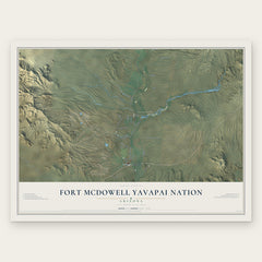
- Fort McDowell Yavapai Nation 12" x 18" / Archival Matte Print $39.99
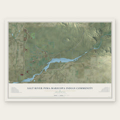
- Salt River Pima-Maricopa Indian Community 12" x 18" / Archival Matte Print $39.99
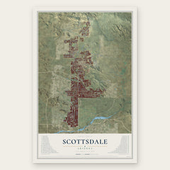
- Scottsdale 12" x 18" / Archival Matte Print $39.99
More maps nearby: Rio Verde, Lehi, Salt River, Paradise Valley and East Mesa.
The art of mapping a place
How This Map Was Made
Real places. Remarkable detail. Discover the layers that turn geographic data into a map of home.

The view from above
Aerial imagery reveals the character of the land: woodland, open fields, and the patterns of a place.

The shape of the land
Elevation data brings hills, valleys, and subtle changes in the landscape into view.

The details of home
Roads, waterways, and building footprints come together to make the map feel unmistakably local.

Geography becomes art
Considered color, shading, and typography bring the layers together in a map made for your wall.


Process illustrated with Mendon, Massachusetts. Aerial imagery: USDA NAIP. Terrain: USGS 3D Elevation Program. Map details and finished artwork: KNOWOL.
The Details
About This Print
Choose an archival matte print, or a black or white Ayous wood frame. The archival matte print is unframed.
Select your size and finish above to see the matching product image and price.
Materials & Craftsmanship
A contemporary map with the character of a classic atlas, printed on archival matte paper. Optional frames are made from Ayous wood.
Your printed map does not include the watermark shown in the full-map preview.
Shipping & Delivery
Free shipping within the United States. Every print is made to order in the USA.
Buying a gift? Add a note in your cart and we'll include it. We never put prices in the package.
Prints ship within 2 to 3 business days. Allow 7 to 10 days total from ordering for delivery. Timing may vary during holidays or periods of high order volume.
Read our shipping policy.
Returns and damaged prints
Each print is made to order. Change-of-mind refunds are not available after production.
If your print arrives damaged, misprinted or incorrect, contact support@knowol.com within 30 days of receiving it. Include your order number, photos and a description of the issue.
Read our full refund and replacement policy. For questions about your order, email support@knowol.com.