
Search for another town


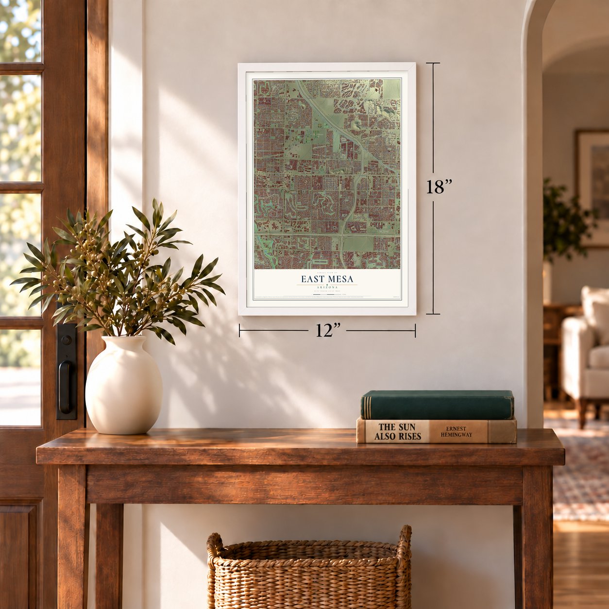

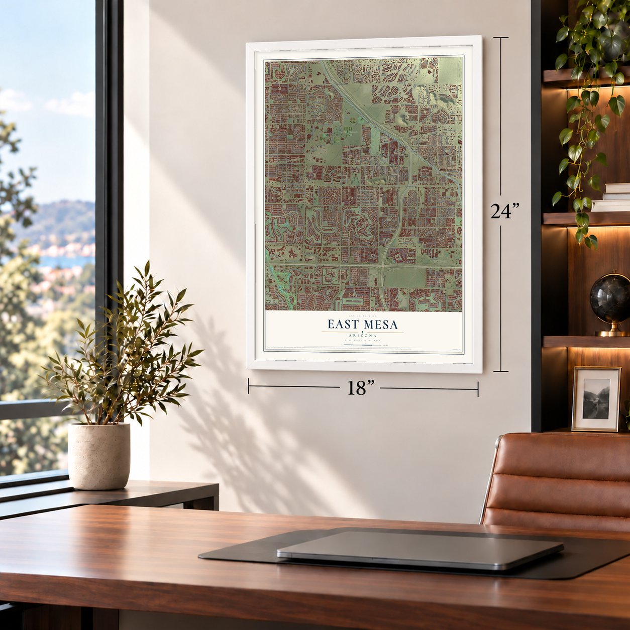
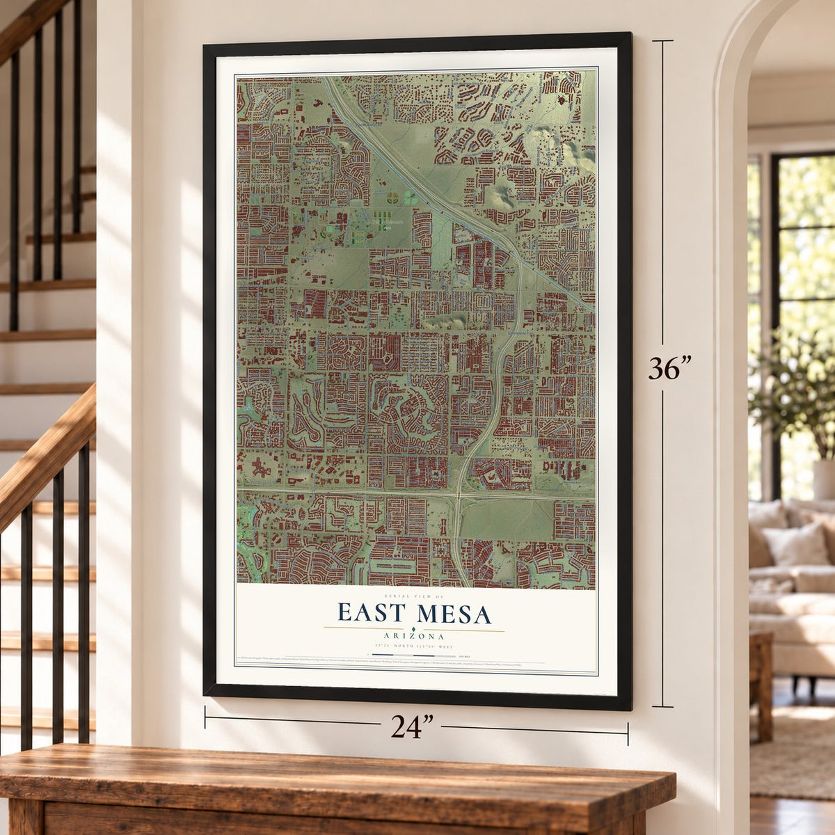
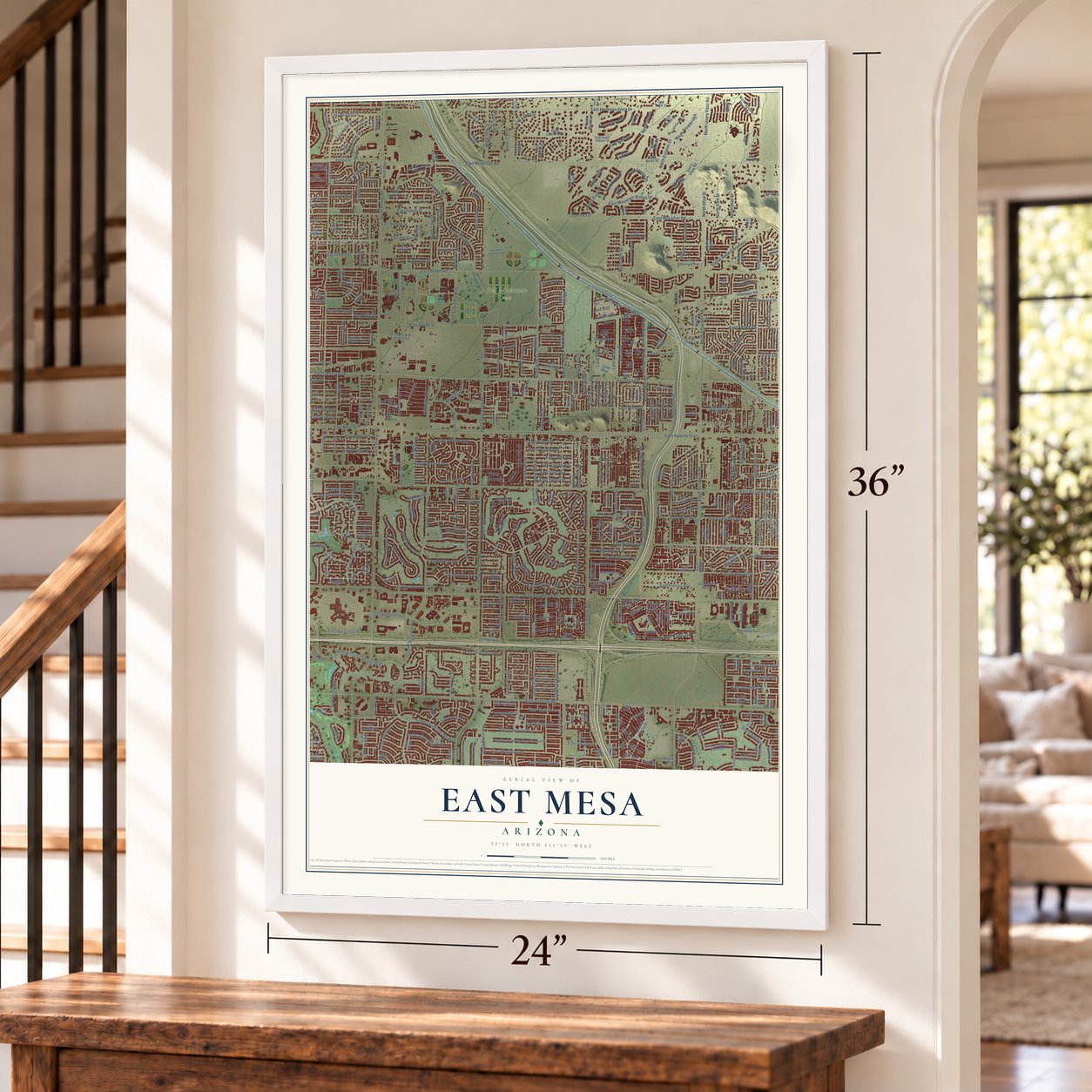

Free U.S. delivery 7 to 10 days after you order
East Mesa, Arizona Map Art
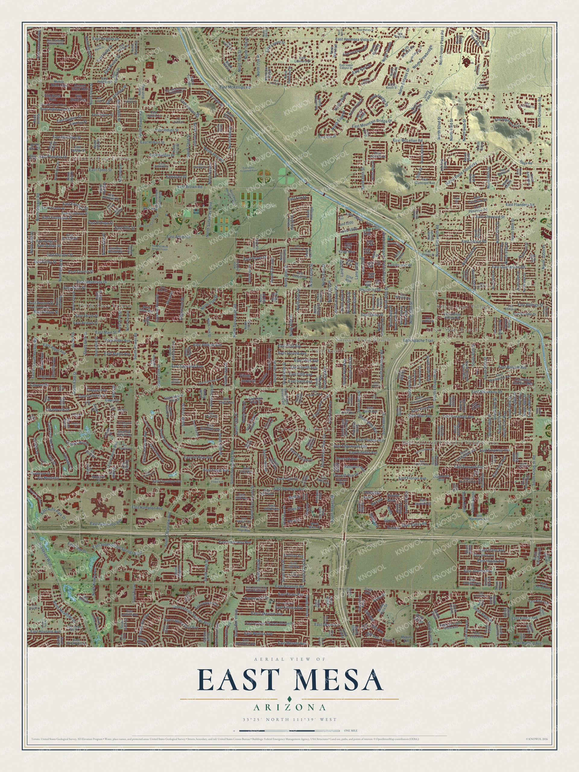
A new map of East Mesa, Arizona, made in 2026 and printed to order on thick archival matte paper.
12" x 18" Archival Matte Print
A Map of Home. A Work of Art.
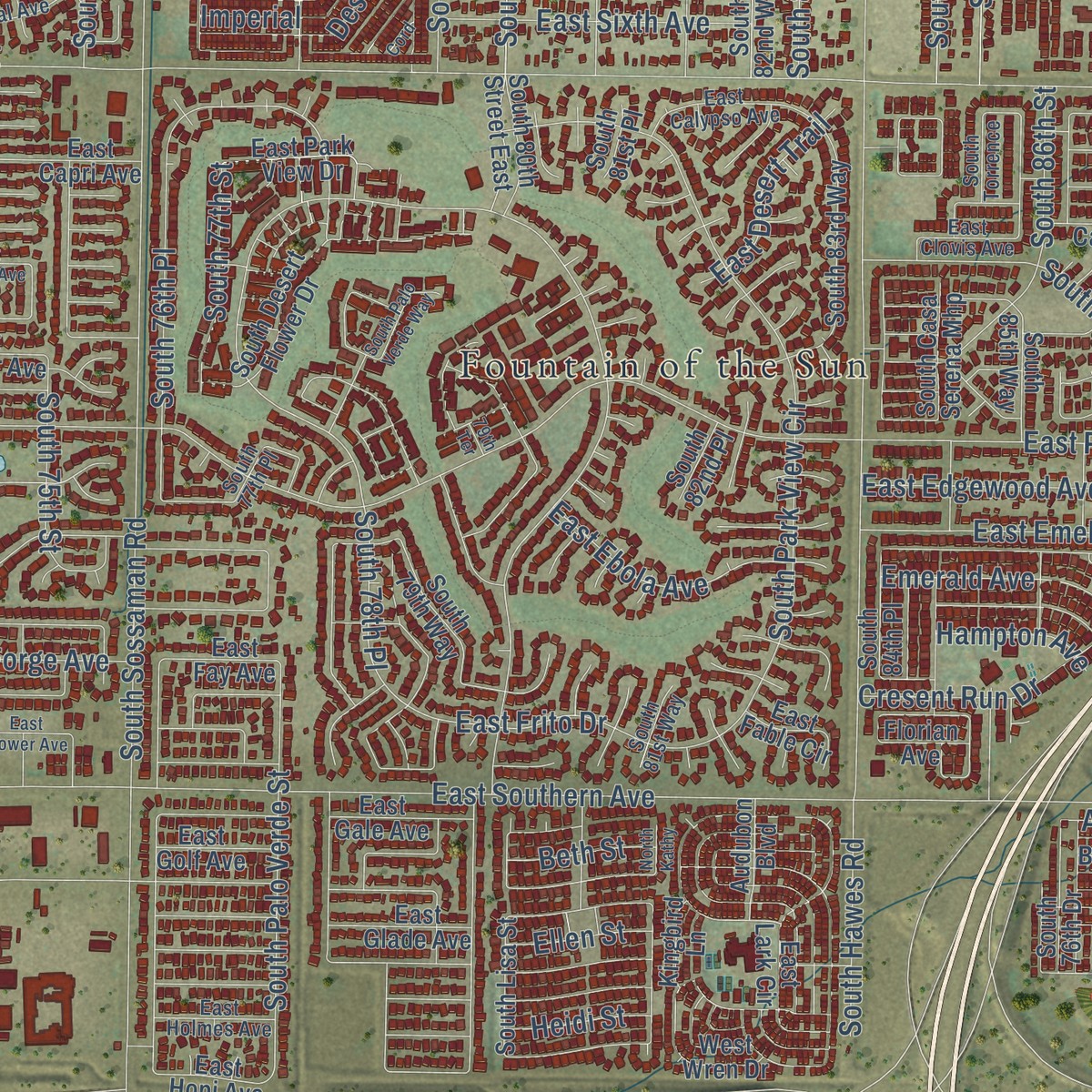
Explore East Mesa, Arizona from a whole new perspective. Created using aerial imagery and detailed geographic data, this map captures East Mesa building by building, with labeled streets, familiar landmarks, and shaded topographical relief that highlights the natural contours of the landscape.
Combining modern data with the timeless character of a vintage atlas, this map is just as interesting up close as it is beautiful on the wall. Whether you grew up in East Mesa, spent memorable years there, or call it home today, this unique map is a great way to celebrate a place that means something to you. Zoom in on the preview to look for your street, and then order a print to put your memories on the wall.
Three ways to hang it
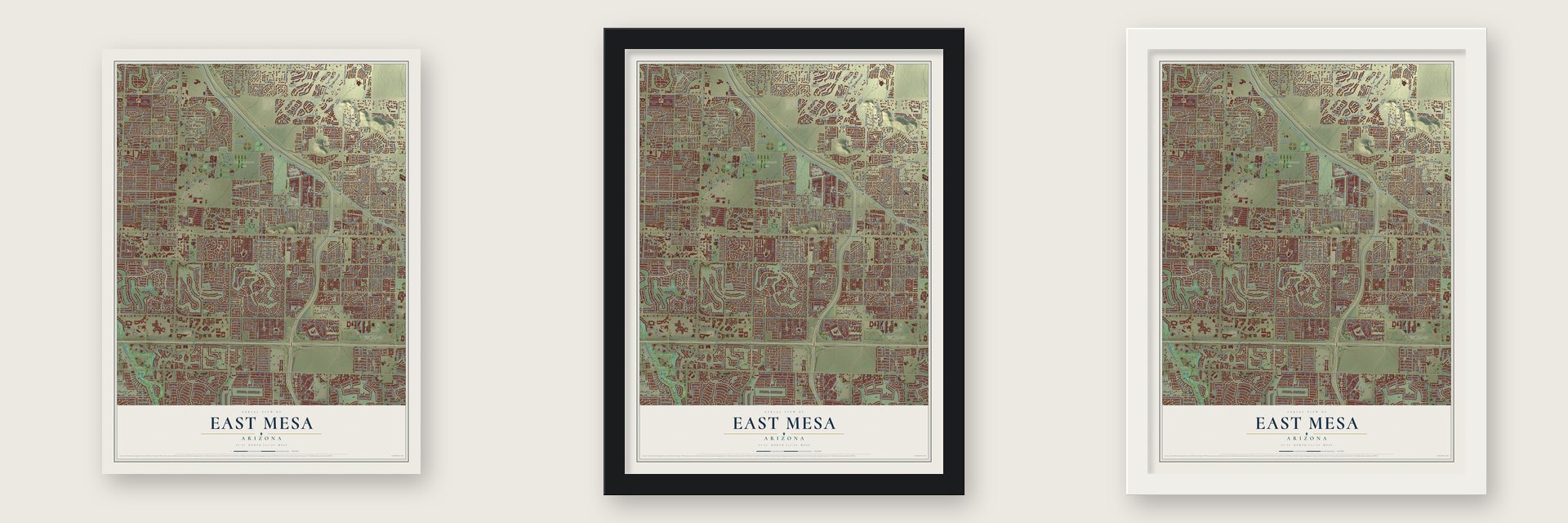
Unframed archival matte, a black wood frame or a white wood frame.
Up close
Geography Worth Displaying
This map was created using accurate cartographic data and authoritative geographic sources, including the U.S. Geological Survey and the Census Bureau. The map brings together terrain, waterways, roads, and building detail. The majority of the streets are labeled, houses are accurately depicted, and the topography is derived from government sources. Combining local data with carefully composed color and shading leads to this beautifully detailed East Mesa artwork for your wall.
Rather than simply showing street outlines, we’ve included as many of the street names as we could reasonably fit on the map while keeping their names legible. Zoom in on the high resolution preview to see exactly what’s on the map. We truly set out to create a statement piece for anyone who loves East Mesa. So whether it’s for you, or a gift for someone you love, we hope this map of East Mesa brings back fond memories.
Read the story behind this map: Detailed Map of East Mesa, Arizona.

Find your street
Names on the East Mesa map
Every name below is printed on this map. Look for your street, your school, the park where you played, or the pond down the road.
Places and landmarks12
- Granite Reef Estates
- Leisure World
- Red Mountain Park
- Fountain of the Sun
- Velda Rose Estates
- Twin Knolls
- Silver Spur Village
- Superstition Country Subdivision
- Silver Spur Ranch
- Sunset Trail Ranch
- Mobile Home Park
- North Red Mountain Park
Streets and roads605
- Capri Drive
- 66th Street
- Via Montana
- Calle Grande Circle
- 61st Street
- East Keats Avenue
- North Viewpoint Trailer Resort
- East Kael Street
- East Main Street
- Clearbrook Drive
- South 63rd Street
- North 80th Place
- Crescent Drive
- East Gary Street
- Colonial Club Drive
- North 94th Place
- East Quarterline Road
- South 78th Place
- North Sunvalley Boulevard
- East Princess Drive
- East Dallas Street
- Lane 2500
- Imperial
- East Boise Street
- South 80th Street
- East Edgewood Avenue
- South 98th Street
- South Buttercup
- South Zinnia
- Desoto
Show all 605 streets
- Farnsworth Drive
- East Kiowa Avenue
- East Fairfield Street
- East Inverness Avenue
- East Kilarea Avenue
- South 76th Place
- North Cll Largo
- South 99th Street
- North 100th Place
- North 88th Place
- East Frito Drive
- North Estates Drive
- Bornite
- East University Drive
- East Apache Trail
- East Brown Road
- East Broadway Road
- East Southern Avenue
- East Baseline Road
- East McKellips Road
- University Drive
- East Pueblo Avenue
- North Recker Road
- East Hermosa Vista Drive
- East McLellan Road
- South Ellsworth Road
- North Power Road
- Signal Butte Floodway
- South Power Road
- South Sossaman Road
- South Crismon Road
- Roosevelt Wcd
- East Adobe Road
- North 64th Street
- East Superstition Springs Boulevard
- Superstition Springs Boulevard
- North Crismon Road
- South Hawes Road
- South 72nd Street
- East Butte Street
- East Juanita Avenue
- East Billings Street
- South 96th Street
- East Medina Avenue
- East Coralbell Avenue
- North Ellsworth Road
- East Indigo Street
- East Madero Avenue
- East Lakeview Avenue
- East Hampton Avenue
- North 96th Street
- North Hawes Road
- East Arbor Avenue
- East Decatur Street
- North Sossaman Road
- South Clearview Avenue
- East El Paso Street
- East Laguna Azul Avenue
- East Hobart Street
- North 80th Street
- East Baywood Avenue
- East Ivyglen Street
- East Meseto Avenue
- East Jensen Street
- East Albany Street
- North 98th Street
- East Ivy Street
- East Akron Street
- East Auto Loop Avenue
- East Inglewood Street
- North 88th Street
- East Ellis Street
- East Mountain Bridge Drive
- East Hannibal Street
- East Sunland Avenue
- East Balsam Avenue
- East Elmwood Street
- South 97th Street
- North 67th Street
- East Ensenada Street
- East Emelita Avenue
- North 62nd Street
- South Park View Circle
- South 79th Place
- East June Street
- South 78th Street
- East Boston Street
- South 96th Place
- South 70th Street
- North 94th Street
- North 66th Street
- Via Norte
- East Impala Avenue
- North 93rd Street
- East Adobe Street
- South 90th Street
- East Colby Street
- South Recker Road
- South 74th Street
- East Covina Street
- North 95th Place
- North Usery Pass Road
- East Aspen Avenue
- North 63rd Place
- North Steele
- South 82nd Street
- South 86th Street
- East Jasmine Street
- North Kiowa Avenue
- South 88th Street
- East Alder Avenue
- South 97th Way
- South 75th Place
- North Sterling
- East Auto Park Drive
- East First Avenue
- East Jaeger Street
- North Trowbridge
- North 81st Street
- North 86th Street
- North Terripin
- North 97th Street
- North 77th Place
- East Avalon Street
- North 72nd Street
- South 97th Place
- South 79th Street
- North 82nd Street
- East Ebola Avenue
- East Sixth Avenue
- East Fifth Avenue
- East Fourth Avenue
- Calypso Drive
- South Baldwin
- East Second Avenue
- East Idaho Avenue
- East Florian Avenue
- East Laurel Street
- South Palo Verde Street
- South 85th Street
- South 84th Way
- North 76th Place
- East Dover Street
- North Meadows Drive
- South 83rd Place
- South Revolta Circle
- East Desert Lane
- East Houston Avenue
- East Forge Avenue
- South Rialto
- East Third Avenue
- North 76th Street
- South 77th Street
- East Flanders Road
- South 75th Street
- East Rustic Drive
- East Fox Street
- South 95th Street
- South 74th Place
- South Saranac Avenue
- South 80th Place
- North 92nd Street
- Bear Valley Road
- East Ed Rice Avenue
- North 83rd Place
- East Halifax Drive
- East Test Drive
- South Glenmar Road
- East Tonto Street
- North 97th Place
- North 65th Place
- Garnet
- North 85th Place
- East Heather Drive
- East Frito Avenue
- Lane 2800
- North Shelby
- North Raven
- South Lansing
- South Revolta
- East Abilene Avenue
- Peridot
- Lane 2700
- North Eugene
- Cresent Run Drive
- North 90th Street
- Alabaster
- North Sawyer
- East Desert Trail
- South Aaron
- Ocotillo Avenue
- Lane 5600
- North 83rd Street
- East Wier Avenue
- Emerald Avenue
- South 95th Drive
- South 64th Street
- South 99th Place
- Cypress Point Drive
- East Empress Avenue
- South 87th Way
- East Holly Drive
- South Vincent
- South 91st Way
- 15th Avenue
- Edgewood Drive
- 13th Avenue
- Hampton Avenue
- Aztec Drive
- Condor Drive
- Doral Drive
- Azurite
- South 98th Place
- North 75th Street
- North Lynch
- North 85th Street
- East Vine Avenue
- Casada Court
- Barrel Avenue
- Beryl
- Lane 4900
- North 84th Place
- First Street
- Ruby
- North 59th Place
- Beth Street
- Ellen Street
- Heidi Street
- 42nd Row
- Viking
- 18th Avenue
- 90th Place
- Dioptase
- Arroyo Drive
- Cll Grande
- El Charro Drive
- Espero Drive
- 61st Place
- Camino Vis
- Cranbrook Drive
- Villa Vista Drive
- Lane 2600
- East Lark Circle
- Montana Circle
- Vis del Cerro
- East Knoll Street
- East Kiva Avenue
- Lane 2100
- North Overland Street
- North 66th Place
- North Joplin
- South Cerise
- East Perimeter
- South Alicia
- North Dillon
- North Atwood
- North Vis del Sol
- East Fay Avenue
- Main Street
- South Desert Flower Drive
- North Warren
- East Golf Avenue
- North 74th Street
- South Essex
- South 84th Place
- South El Charro Drive
- Leisure World Boulevard
- East Des Moines Street
- East Lobo Avenue
- East Encanto Street
- East Jan Avenue
- East Flossmoor Avenue
- East Ingram Street
- East Lomita Avenue
- East Irwin Avenue
- East Evergreen Street
- East Javelina Avenue
- East Lompoc Avenue
- North 65th Street
- South Arizona Acres Mhp
- East Dodge Street
- East Duncan Street
- East Leonora Street
- East Birchwood Avenue
- North 61st Place
- North Channing
- South Rowen
- East Hillview Street
- East Inca Street
- East Casper Street
- East Halifax Street
- North 99th Street
- East Fairbrook Street
- East Carol Avenue
- North 95th Street
- North Avoca
- East Crescent Avenue
- North Boulder Mountain
- South 92nd Place
- East Fountain Street
- East Capri Avenue
- East Los Lagos Vista Avenue
- North Woodruff
- East Jacob Avenue
- South 82nd Way
- East Gale Avenue
- North 96th Place
- South 79th Way
- North 86th Place
- East Garnet Avenue
- North 90th Place
- North 64th Place
- North 63rd Street
- North 89th Place
- North 89th Street
- North Hillridge
- East Sunland Vlg East Glf Con P1
- North 62nd Place
- South Jefferson Avenue
- East Harmony Avenue
- North Red Cliff
- South 92nd Street
- North 87th Place
- South 91st Street
- East Drummer Avenue
- North 61st Street
- South 72nd Place
- South 93rd Way
- East Encinas Avenue
- East Patio Gardens Mhp
- North Gila Verde
- East Delmon Drive
- East Glade Avenue
- North Vis Grande
- South Evangeline Avenue
- South Labelle
- South Ananea
- East Iran Avenue
- North 91st Place
- North 98th Place
- South Casa Serena Mhp
- South Bristol
- North Ananea
- South 87th Place
- South 93rd Place
- North Atwood Circle
- East Fenimore Road
- North Ramada
- Monte Vista Drive
- Vista Drive West
- East Exmoor Drive
- South Brighton
- East Lockwood Street
- South Luther
- South 83rd Way
- North Drexel
- South Saranac
- South Faith
- North Shannon Way
- East Hopi Avenue
- East Boulder Drive
- South Lorena
- East Inglewood Circle
- South 98th Way
- North 88th Way
- East Ingram Circle
- Usery Pass Road
- East Sleepy Hollow Road
- North Waverly
- North Sunaire
- North Luther
- Barite
- North 77th Street
- North Overland
- South Sorrelle
- South Acanthus
- East Laguna Azul
- North 61st Way
- North Aletta
- North Fremont Junior High
- South 81st Place
- North 81st Place
- South 85th Way
- South Roslyn
- East Glencove Avenue
- East Drive
- East Decatur Road
- East Park View Drive
- East Colonial Club Drive
- South Essex Lane
- South 65th Street
- North Sundial
- Ridge Road
- Lane 5200
- East Pebble Drive
- West Wren Drive
- Fifth Street East
- Second Street East
- Fifth Street West
- East Mendoza Avenue
- North Aaron
- North Glenmar Road
- Lane 1700
- Lane 200
- Lane 500
- Lane 900
- Lane 1400
- North Bernard
- South 76th Drive
- South Dillon
- South Dexter
- South 80th Street East
- West Third Avenue
- South Lisa Street
- North 82nd Place
- South 82nd Place
- South Keene
- North Fort Street
- South Duval
- Clubhouse Boulevard
- South Chatsworth
- East Kelly Drive
- South Amandes
- North Terripen
- North 71st Street
- North Conner Avenue
- East Fable Circle
- Audubon Boulevard
- Belair Drive
- North Bush Highway
- Medina Avenue
- South 89th Street
- Malaga Drive
- South Harper
- North Sunset Drive
- North Amandes
- North Alta Vis
- South 92nd Drive
- 38th Row
- Lane 4400
- 32nd Row
- South Noble
- North Layton
- North Adair
- Kingbird Lane
- Florian Avenue
- North 79th Place
- East El Ray
- North Owl Drive
- North 78th Place
- North Duval
- Sixth Avenue
- Fox Street
- South 62nd Street
- 59th Street
- South Parklinks
- North Faith
- East Calypso Avenue
- East Golden Street
- South 77th Place
- East Juniper Street
- East Upper Canyon Drive
- East Menlo Street
- East Baltimore Street
- East Camelot Country Club
- North Rowen
- East Moondance Townhomes
- East Holiday Drive
- East Anaheim Street
- North 87th Street
- North Palo Verde
- East Balmoral Avenue
- East Granada Street
- East Auburn Street
- North Seymour
- South 90th Place
- South 73rd Street
- East Clovis Avenue
- East Billings Court
- East Holmes Avenue
- North Saffron
- South Terripin
- North 94th Way
- North 99th Place
- South 89th Place
- Seventh Street West
- North Estates Circle
- North 74th Place
- 64th Street
- East Dennis Street
- East Alta Place
- East Sunland Vlg East Grdn Con 2
- South Wildrose
- North 97th Way
- Staghorn Lane
- Travis
- Via Rossmoor
- East Elman Avenue
- Lane 4800
- North 67th Place
- East Knoll Circle
- East Indigo Bay Drive
- North 82nd Way
- South 87th Street
- South Torrence
- South 81st Way
- North 90th Circle
- North 78th Street
- East Bell Circle
- South Shelby
- North Travis
- 22nd Avenue
- Resort Boulevard
- 62nd Street
- El Lago
- El Charro Lane
- Hacienda Drive
- North Estrada
- East Grandview Street
- Clubhouse Boulevard South
- Catalina Drive
- East Jerome Avenue
- South Feliz
- East Lindner Avenue
- East Knowles Avenue
- East Dartmouth Street
- East Kramer Street
- East Cicero Street
- North Ricardo
- East Downing Street
- North 84th Street
- East Bambi Drive
- East Julep Street
- East Flower Avenue
- South Palo Verde Way
- East Jacaranda Circle
- East Fremont Junior High
- Casada Lane
- East Dewan Avenue
- East Ninth Avenue
- Hearthstone Villas
- South Edgewater Drive
- East Water Treatment Plant
- East East Mesa Service Center
- East Melody Drive
- Lane 300
- Lane 1000
- South Lynch
- East Ivyglen Circle
- North Azurite Circle
- East Mallory Street
- East Leland Circle
- South 102nd Place
- East Chambers Street
- South Abbey
- North 96th Way
- South Joslyn
- North 100th Way
- South Drexel
- Aaron
- East El Moro Avenue
- South 96th Way
- Lane 5500
- East Florence Lane
- North 178th Street
- North Steele Circle
- South Eugene
- East Hazel Street
- South Athena
- North North
- South Sarnac
- North Kathy
- Cord
- 87th Street
- 79th Terrace
Names are listed as they appear on the printed map. Zoom into the product photos to find them.
The art of mapping a place
How This Map Was Made
Real places. Remarkable detail. Discover the layers that turn geographic data into a map of home.

The view from above
Aerial imagery reveals the character of the land: woodland, open fields, and the patterns of a place.

The shape of the land
Elevation data brings hills, valleys, and subtle changes in the landscape into view.

The details of home
Roads, waterways, and building footprints come together to make the map feel unmistakably local.

Geography becomes art
Considered color, shading, and typography bring the layers together in a map made for your wall.


Process illustrated with Mendon, Massachusetts. Aerial imagery: USDA NAIP. Terrain: USGS 3D Elevation Program. Map details and finished artwork: KNOWOL.
The Details
About This Print
Choose an archival matte print, or a black or white Ayous wood frame. The archival matte print is unframed.
Select your size and finish above to see the matching product image and price.
Materials & Craftsmanship
A contemporary map with the character of a classic atlas, printed on archival matte paper. Optional frames are made from Ayous wood.
Your printed map does not include the watermark shown in the full-map preview.
Shipping & Delivery
Free shipping within the United States. Every print is made to order in the USA.
Buying a gift? Add a note in your cart and we'll include it. We never put prices in the package.
Prints ship within 2 to 3 business days. Allow 7 to 10 days total from ordering for delivery. Timing may vary during holidays or periods of high order volume.
Read our shipping policy.
Returns and damaged prints
Each print is made to order. Change-of-mind refunds are not available after production.
If your print arrives damaged, misprinted or incorrect, contact support@knowol.com within 30 days of receiving it. Include your order number, photos and a description of the issue.
Read our full refund and replacement policy. For questions about your order, email support@knowol.com.
Find your town
Looking for another city?
Find a map of home in our Arizona collection, or any town in the country.
Nearby
Maps of towns near East Mesa
Know someone from one of these towns? Their map makes a great gift.
 Mesa
Mesa, Arizona
From $39.99See the map
 Apache Junction
, Arizona
From $39.99See the map
 Gilbert
, Arizona
From $39.99See the map
More maps nearby: Salt River Pima-Maricopa Indian Community, Salt River, Queen Creek, Gold Canyon and Fountain Hills.