
Search for another town
Free U.S. delivery 7 to 10 days after you order
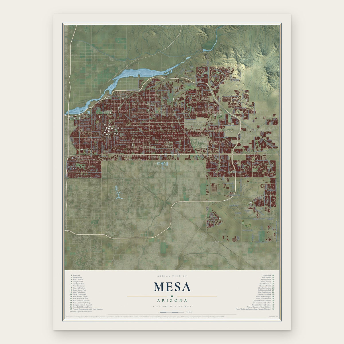
Mesa, Arizona Map Art
Building by building, with labeled streets and shaded relief.
12" x 18" Archival Matte Print
A Map of Home. A Work of Art.
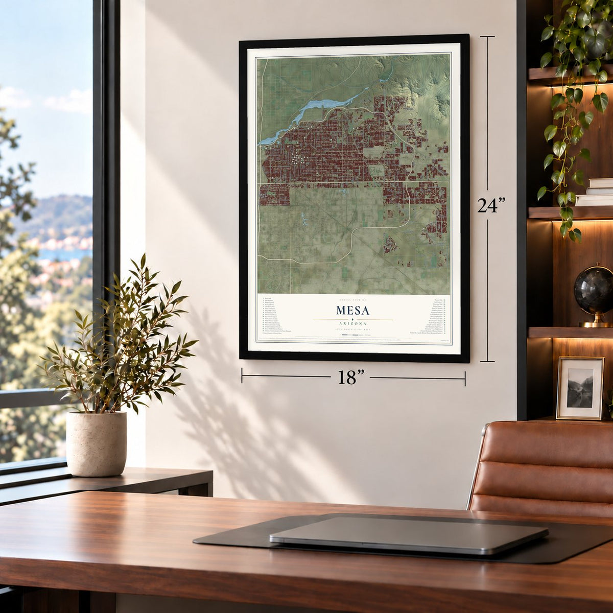
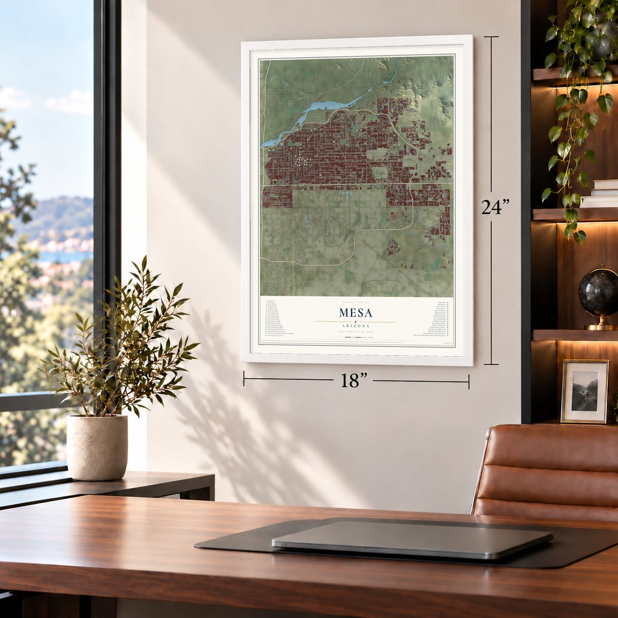
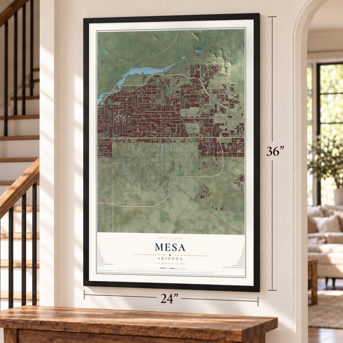
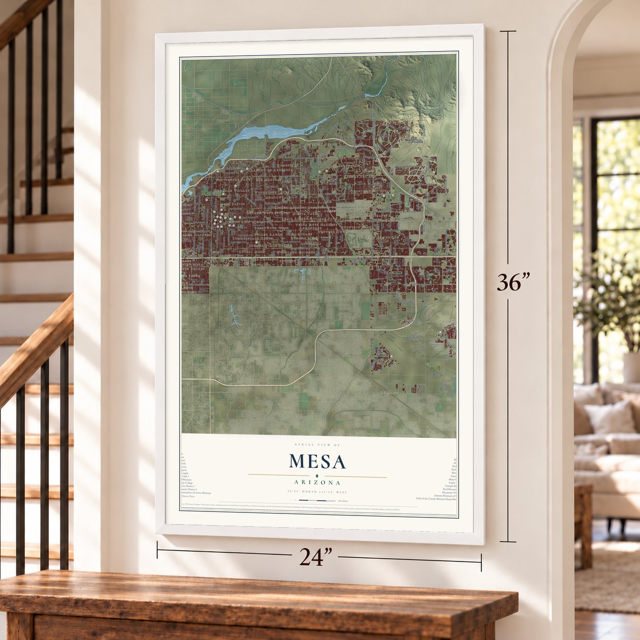
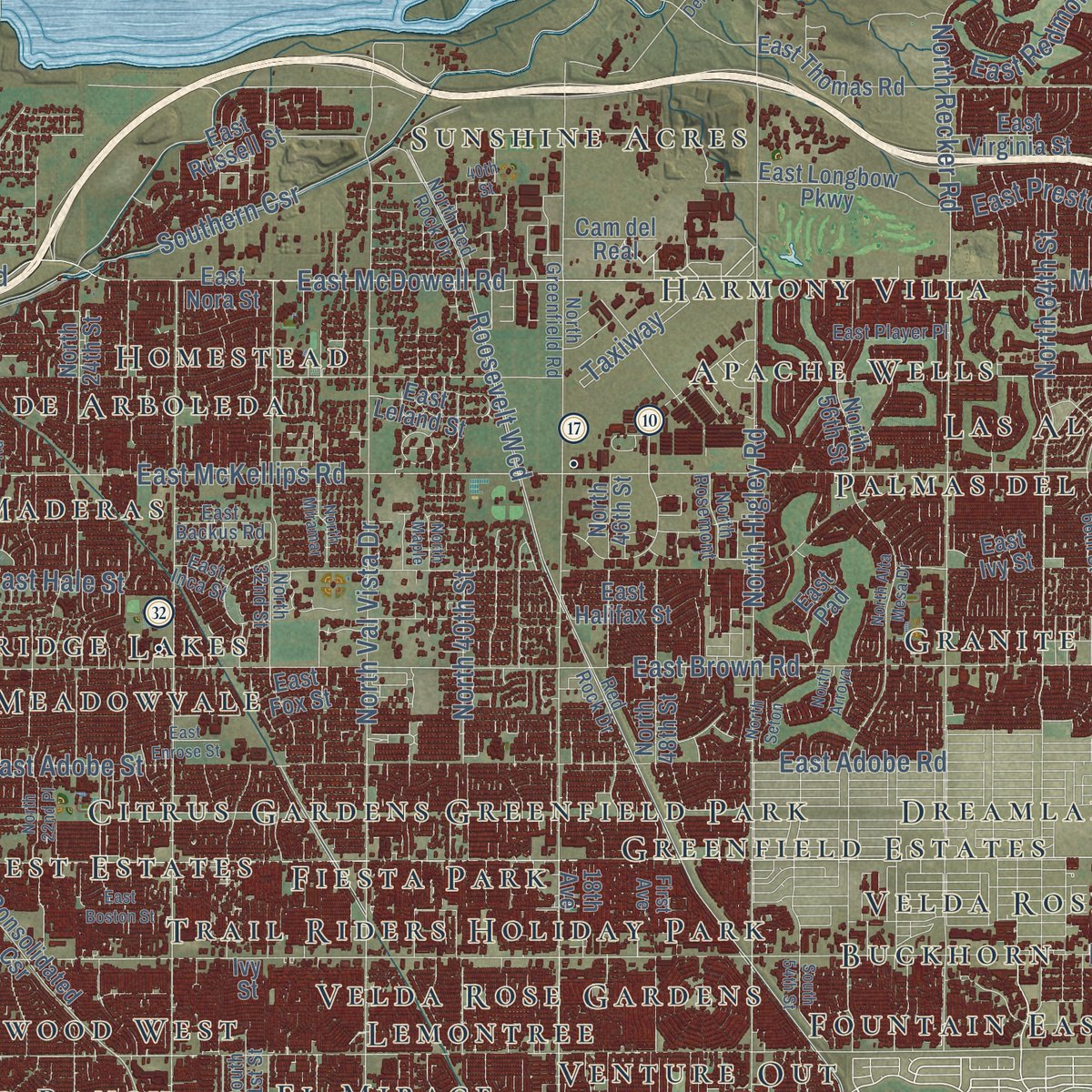
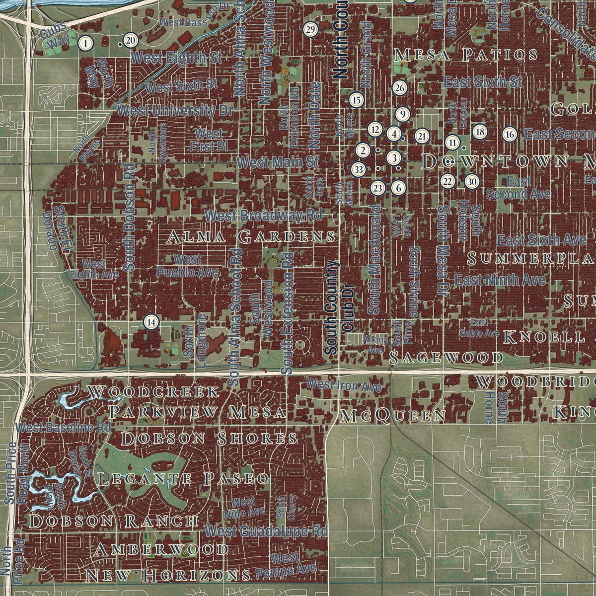
Explore Mesa, Arizona from a whole new perspective. Created using aerial imagery and detailed geographic data, this map captures Mesa building by building, with labeled streets, familiar landmarks, and shaded topographical relief that highlights the natural contours of the landscape.
Combining modern data with the timeless character of a vintage atlas, this map is just as interesting up close as it is beautiful on the wall. Whether you grew up in Mesa, spent memorable years there, or call it home today, this unique map is a great way to celebrate a place that means something to you. Zoom in on the preview to look for your street, and then order a print to put your memories on the wall.

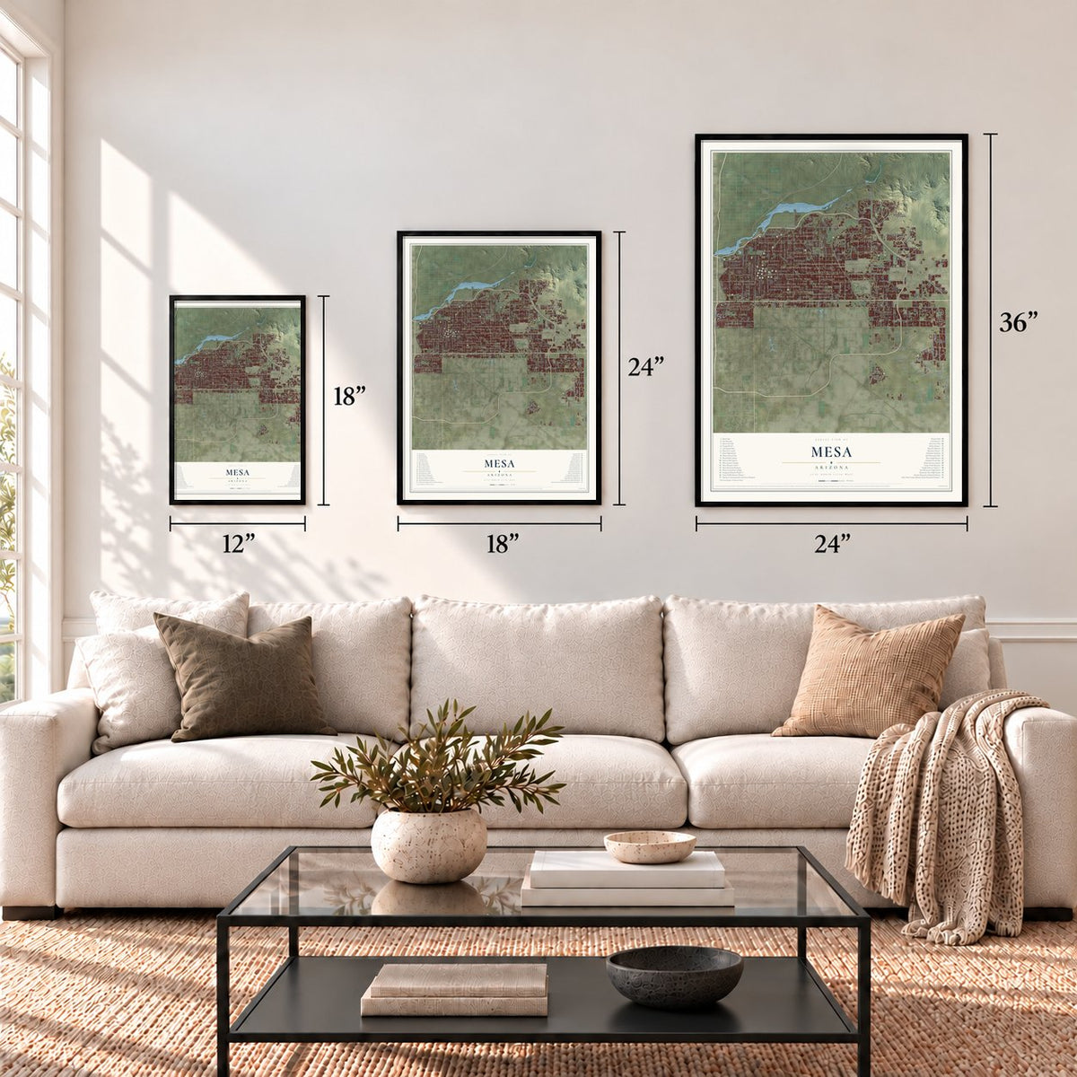
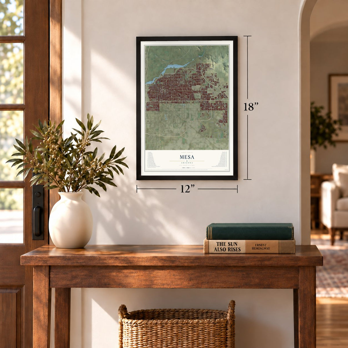
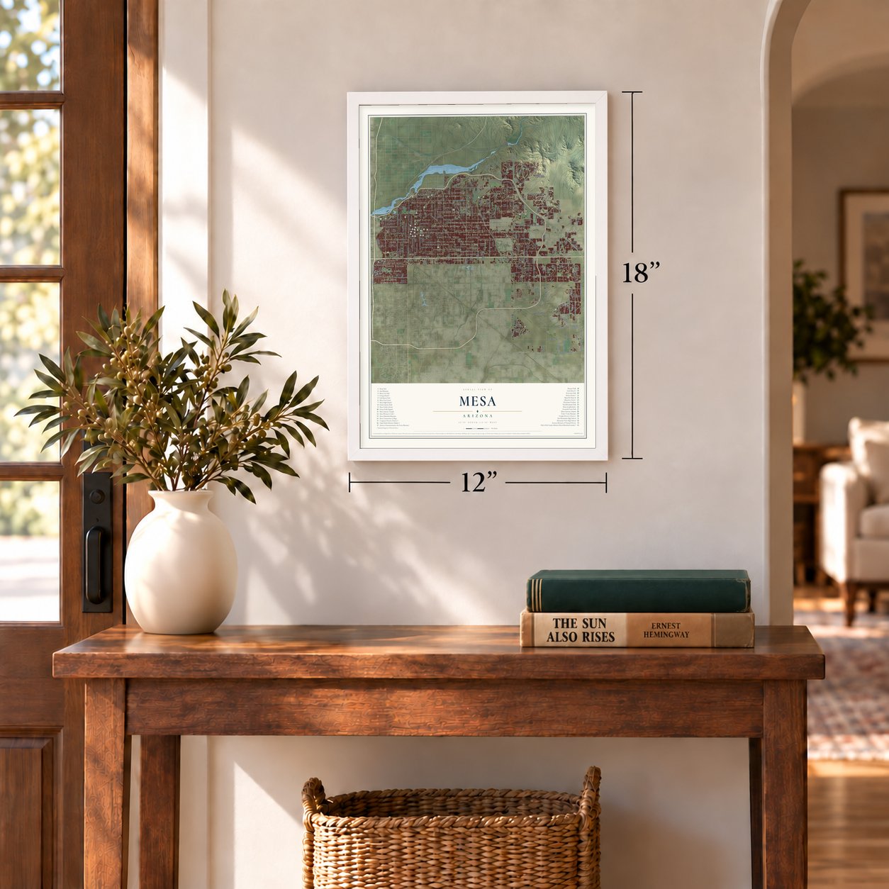
Three ways to hang it
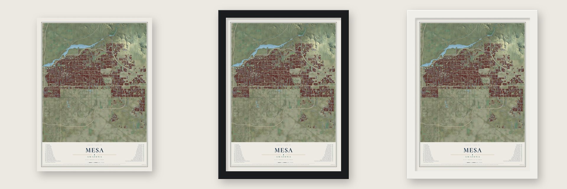
Unframed archival matte, a black wood frame or a white wood frame.
Up close
Geography Worth Displaying
This map was created using accurate cartographic data and authoritative geographic sources, including the U.S. Geological Survey (USGS) and FEMA. The map brings together terrain, waterways, roads, and building detail. The majority of the streets are labeled, houses are accurately depicted, and the topography is derived from government sources. Combining local data with carefully composed color and shading leads to this beautifully detailed Mesa artwork for your wall.
Rather than simply showing street outlines, we’ve included as many of the street names as we could reasonably fit on the map while keeping their names legible. Zoom in on the high resolution preview to see exactly what’s on the map. We truly set out to create a statement piece for anyone who loves Mesa. So whether it’s for you, or a gift for someone you love, we hope this map of Mesa brings back fond memories.
Explore the full map of Mesa, Arizona and read about the local places it shows.
Find your street
Names on the Mesa map
Every name below is printed on this map. Look for your street, your school, the park where you played, or the pond down the road.
Places and landmarks55
- Downtown Mesa
- Silver Spur Ranch
- Germann
- Amberwood
- Rancho de Arboleda
- Sunshine Acres
- Summer Mesa
- McQueen
- Fountain East
- Hohokam Village
- Suntree
- Granite Reef Estates
Show all 55 places
- Fountain of the Sun
- Woodcreek
- Fiesta Park
- Kingsgate
- Alma Gardens
- Lehi
- Fuller Ranch
- Velda Rose Estates
- Apache Wells
- East Mesa
- Las Alegres
- Trail Riders Holiday Park
- Dobson Shores
- Woodland Heights
- Greenfield Park
- Mesa Patios
- Meadowvale
- Lemontree
- Wintercone Park
- Los Maderas
- New Horizons
- Summer Place Trails
- Homestead
- Dreamland Villa
- Venture Out
- Woodridge Lakes
- Suntrails
- Parkview Mesa
- Velda Rose Gardens
- Sagewood
- Palmas del Sol
- Legante Paseo
- Brentwood West
- Golden West Estates
- Dobson Ranch
- El Mirage
- Summerplace Green
- Buckhorn
- Woodbridge Crossing
- Citrus Gardens
- Greenfield Estates
- Knoell Mesa
- Harmony Villa
Streets and roads273
- North Country Club Drive
- Roosevelt Wcd
- East Baseline Road
- East Southern Avenue
- East Brown Road
- East McKellips Road
- East Broadway Road
- East University Drive
- East Main Street
- University Drive
- East McDowell Road
- South Power Road
- South Sossaman Road
- East Pecos Road
- McDowell Road
- East Mc Dowell Road
- South Ellsworth Road
- South Signal Butte Road
- East McLellan Road
- East Hampton Avenue
- East Hermosa Vista Drive
- East Ray Road
- North Power Road
- North Higley Road
- Consolidated
- East Elliot Road
- East Guadalupe Road
- East Adobe Road
- North Val Vista Drive
- North Recker Road
Show all 273 streets
- South Hawes Road
- East Germann Road
- East Lehi Road
- South Mountain Road
- South Dobson Road
- South Alma School Road
- South Extension Road
- South Crismon Road
- East Warner Road
- West Broadway Road
- North 64th Street
- West Main Street
- North Meridian Road
- West Guadalupe Road
- West University Drive
- East Adobe Street
- South Mesa Drive
- Southern Csr
- East Hale Street
- West Eighth Street
- South Eastmark Parkway
- East Eagle Crest Drive
- East Second Street
- East Sixth Avenue
- South Higley Road
- North Alma School Road
- Moeur Road
- Williams Field Road
- East Ninth Avenue
- East Sixth Street
- North Crismon Road
- North Date
- South Macdonald
- North Ridgecrest
- North 80th Street
- East Preston Street
- East Street
- South Meridian Drive
- North Westwood
- East Redmont Drive
- North 40th Street
- Hawes Road
- North 96th Street
- Taxiway
- 91st Street
- South Country Club Drive
- East Keats Avenue
- East Halifax Street
- South 78th Place
- Third Street
- Fourth Street
- 18th Avenue
- East Nora Street
- East Wier Avenue
- East Fairfield Street
- East Emelita Avenue
- North Gilbert Road
- East Ivy Street
- North Mesa Drive
- East Thomas Road
- East Indigo Street
- West Baseline Road
- Consolidated Csr
- East Pampa Avenue
- South 80th Street
- North Horne
- East Medina Avenue
- East Monterey Avenue
- East Fox Street
- South 72nd Street
- South Longmore
- East Neville Avenue
- East Delta Avenue
- Superstition Springs Boulevard
- South Greenfield Road
- South Val Vista Drive
- East Second Avenue
- South Horne
- East Virginia Street
- East Ellis Street
- South Hobson
- East Hope Street
- South 24th Street
- West Pampa Avenue
- North 24th Street
- East Leland Street
- East Pad
- South El Dorado
- South Westwood
- North Ellsworth Road
- North Sossaman Road
- North Hawes Road
- East Kiowa Avenue
- First Street
- West Sixth Street
- South 96th Street
- North 88th Street
- North Grand
- East Russell Street
- West McLellan Road
- South Springwood Boulevard
- North 48th Street
- South 39th Street
- East Williams Field Road
- North 56th Street
- East Mesquite Street
- North Usery Pass Road
- South Cheshire
- South Sirrine
- East Bates Street
- East Saddleback Street
- South 74th Street
- South Parkwood
- North 76th Street
- South 78th Street
- North 46th Street
- South Price Road North
- South 70th Street
- East Longbow Parkway
- West First Place
- North Red Mountain
- South Merrill Road
- South 48th Street
- South Crimson Road
- Cubs Way
- South Avery
- South Baldwin
- West Iron Avenue
- North May
- North Bush Highway
- East Range Rider Trail
- South Quail
- South 90th Street
- South Avoca
- 13th Avenue
- West Pueblo Avenue
- South Lansing
- South 89th Place
- Power Road
- North 112th Street
- North Sawyer
- Sebring Avenue
- Unity Avenue
- South Lennox
- South 82nd Street
- East Test Drive
- South Chesire
- East Grove Street
- North 86th Street
- Cam del Real
- South Sterling
- North Price Road
- Enid Avenue
- Ivy Street
- First Avenue
- Ruby
- North Greenfield Road
- East Jensen Street
- East Kael Street
- North Red Rock Drive
- West Eighth Avenue
- East Inca Street
- East Kramer Street
- North Barkley
- North 32nd Street
- East Sunland Avenue
- West Nido Avenue
- East Dana Avenue
- South Park View Circle
- South 79th Place
- South Sunnyvale
- North Rosemont
- North 66th Street
- South Recker Road
- South 222nd Street
- East Plana Avenue
- West Bass Pro Drive
- South Wattlewood
- South 75th Place
- Lane 2600
- South 202nd Street
- North Extension Road
- South Saranac
- South Pima
- South Playa
- South Palo Verde Street
- East Player Place
- South Via Toscano
- Red Rock Drive
- South 31st Street
- East Backus Road
- South 72nd Place
- Ampere Avenue
- Beth Street
- East Nance Street
- East Gable Avenue
- East Enrose Street
- North Stapley Drive
- East Ingram Street
- East Impala Avenue
- North Maple
- North Forest
- North Alta Mesa Drive
- South Date
- South Vegas
- North Miramar
- North Lesueur
- East Cadence Parkway
- East Jacinto Avenue
- East Kinetic Drive
- East Boston Street
- North 22nd Place
- South Lewis
- East Williams Air Force Base
- South 54th Street
- South Everton Terrace
- East Viewmont Drive
- South El Marino
- South Cherry
- South Morris
- North Signal Butte Road
- Gilbert Road
- Las Sendas Mountain Drive
- North Sycamore
- South Roanoke
- East Trw Safety Systems
- East Sorenson Street
- East Fourth Avenue
- North Seton
- South Somerset
- North Talley Defense Systems
- North Morris
- East Velocity Way
- Garnet
- Altana Avenue
- North Estates Drive
- North Phyllis
- South 113th Place
- 40th Street
- North 99th Street
- South Mesita
- North Arroya
- Usery Pass Road
Names are listed as they appear on the printed map. Zoom into the product photos to find them.
About Mesa, Arizona
Mesa is a city of 504,258 people in Maricopa County, and it ranks third in Arizona after Phoenix and Tucson. At least 2,000 years ago the Hohokam dug the first canals here. The biggest reached 90 feet across and 10 feet deep at their head gates, some stretched 16 miles over the desert, and by 1100 CE the system watered more than 110,000 acres. Many of those channels still carry water today.
In March 1877 Daniel Webster Jones led a party of Mormon settlers south from St. George, Utah, and they settled on the north side of today's city, at a place first called Fort Utah and then Jonesville. A second party, the First Mesa Company, came from Utah and Idaho; it declined Jones's offer to join him and climbed onto the mesa itself. They cleared some old Hohokam canals, dug new ones and had water running by April 1878. Mesa City was registered as a townsite of one square mile on July 17, 1878, and it incorporated in 1883 with 300 people.
- Lehi, older than the cityIn 1883 Jones's settlement took the name Lehi, after a Book of Mormon prophet, an idea that came from Brigham Young Jr. Jones had invited local Native Americans to live among the settlers. That offer divided the colony, and half of its first members left to found St. David. Mesa annexed Lehi in 1970.
- The Lehi SchoolBuilt in the 1910s, the Lehi School gained an auditorium from the Works Progress Administration in the 1930s. It joined the National Register in 2001 and is now home to the Mesa Historical Museum.
- Fifty-three women in 1917The Woman's Club of Mesa began in 1917 with fifty-three founding members. Members paid for parks and scholarships and fed hungry schoolchildren. After cotton prices crashed in 1923, the club and the city paid off the debt on the land under Mesa's first hospital, keeping it open, and members held "hospital sew days" to make medical supplies. Phoenix architect Henry C. Grote designed their Spanish Colonial Revival clubhouse, built in 1931 for $10,580, now on the National Register.
- A canal that ran the lightsIn 1895 Dr. A. J. Chandler, who later founded the city of Chandler, widened the Mesa Canal so it would carry enough water to run a power plant. Mesa bought that utility company in 1917, and its earnings covered the city's new public works into the 1960s. In the Great Depression, federal WPA money paved Mesa's streets and built a new hospital, a town hall and a library.
- Mayor in three decadesGeorge Nicholas Goodman served as mayor five times, from 1938 to 1942, 1946 to 1948 and 1952 to 1956. He helped the city acquire the land for Falcon Field and Williams Field, which opened in the early 1940s and brought military families to Mesa. Air conditioning and tourism set off a population boom after that, yet even in 1960 half of Mesa's people still earned their living from farming.
Keep exploring Arizona
Mesa is one of 528 Arizona towns we've mapped. Every dot on the map is a print of its own.
The search covers every state, Arizona first.
Near Mesa
Order 2 or more town maps and save 10%. Shown in the size and finish you picked above, so they hang as a set.
- East Mesa 12" x 18" / Archival Matte Print $39.99
- Gilbert 12" x 18" / Archival Matte Print $39.99
- Lehi 12" x 18" / Archival Matte Print $39.99
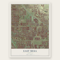
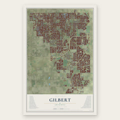
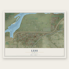
More maps nearby: Salt River Pima-Maricopa Indian Community, Salt River, Apache Junction, Chandler and Tempe.
The art of mapping a place
How This Map Was Made
Real places. Remarkable detail. Discover the layers that turn geographic data into a map of home.

The view from above
Aerial imagery reveals the character of the land: woodland, open fields, and the patterns of a place.

The shape of the land
Elevation data brings hills, valleys, and subtle changes in the landscape into view.

The details of home
Roads, waterways, and building footprints come together to make the map feel unmistakably local.

Geography becomes art
Considered color, shading, and typography bring the layers together in a map made for your wall.


Process illustrated with Mendon, Massachusetts. Aerial imagery: USDA NAIP. Terrain: USGS 3D Elevation Program. Map details and finished artwork: KNOWOL.
The Details
About This Print
Choose an archival matte print, or a black or white Ayous wood frame. The archival matte print is unframed.
Select your size and finish above to see the matching product image and price.
Materials & Craftsmanship
A contemporary map with the character of a classic atlas, printed on archival matte paper. Optional frames are made from Ayous wood.
Your printed map does not include the watermark shown in the full-map preview.
Shipping & Delivery
Free shipping within the United States. Every print is made to order in the USA.
Buying a gift? Add a note in your cart and we'll include it. We never put prices in the package.
Prints ship within 2 to 3 business days. Allow 7 to 10 days total from ordering for delivery. Timing may vary during holidays or periods of high order volume.
Read our shipping policy.
Returns and damaged prints
Each print is made to order. Change-of-mind refunds are not available after production.
If your print arrives damaged, misprinted or incorrect, contact support@knowol.com within 30 days of receiving it. Include your order number, photos and a description of the issue.
Read our full refund and replacement policy. For questions about your order, email support@knowol.com.