
Search for another town


Free U.S. delivery 7 to 10 days after you order
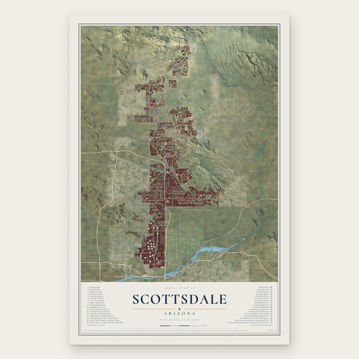
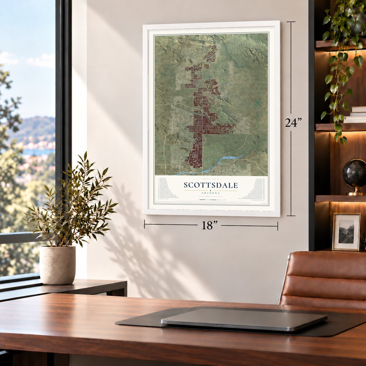
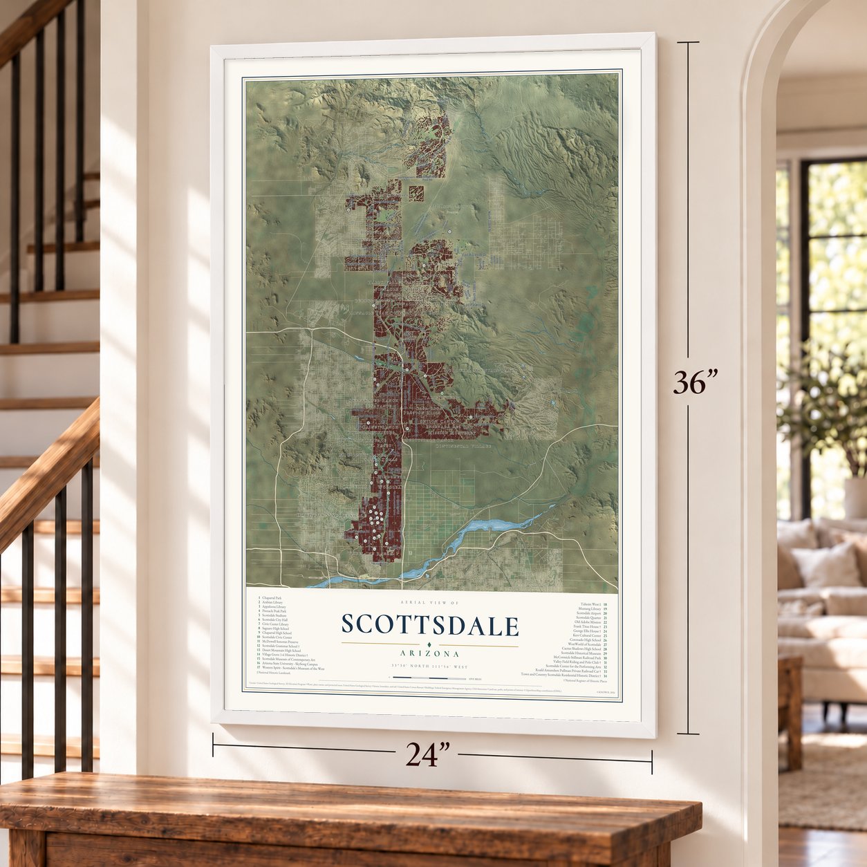
Scottsdale, Arizona Map Art
Building by building, with labeled streets and shaded relief.
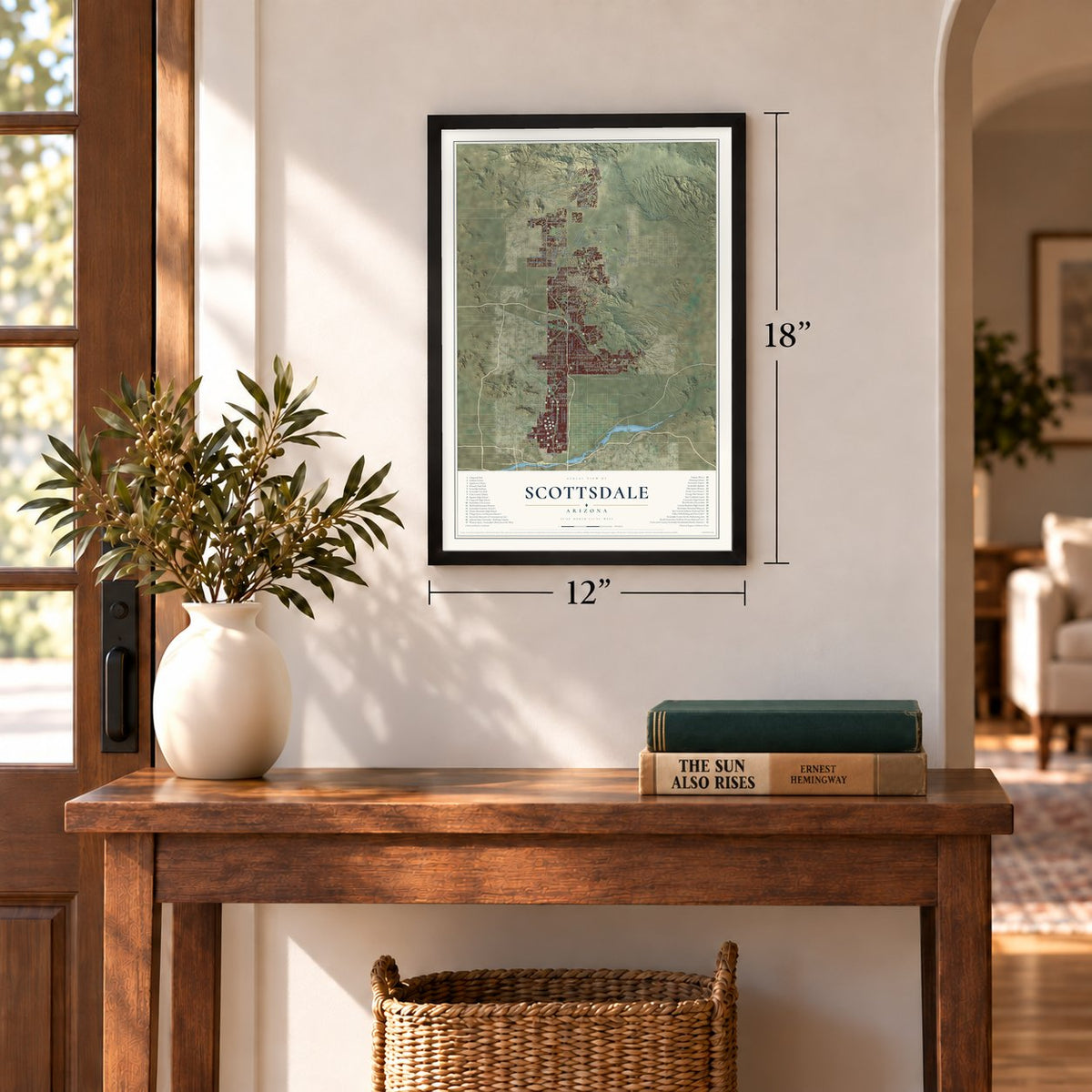
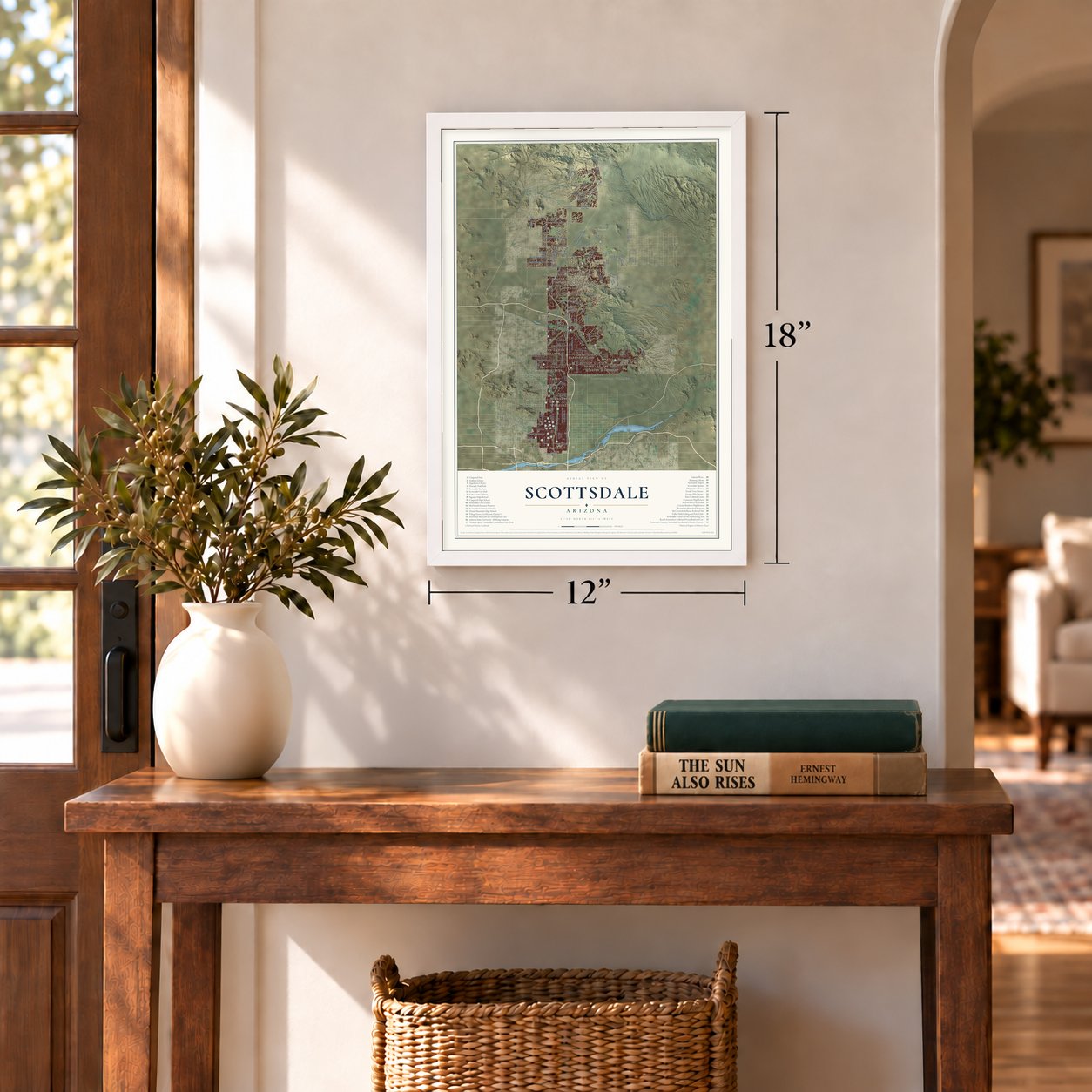
12" x 18" Archival Matte Print
A Map of Home. A Work of Art.
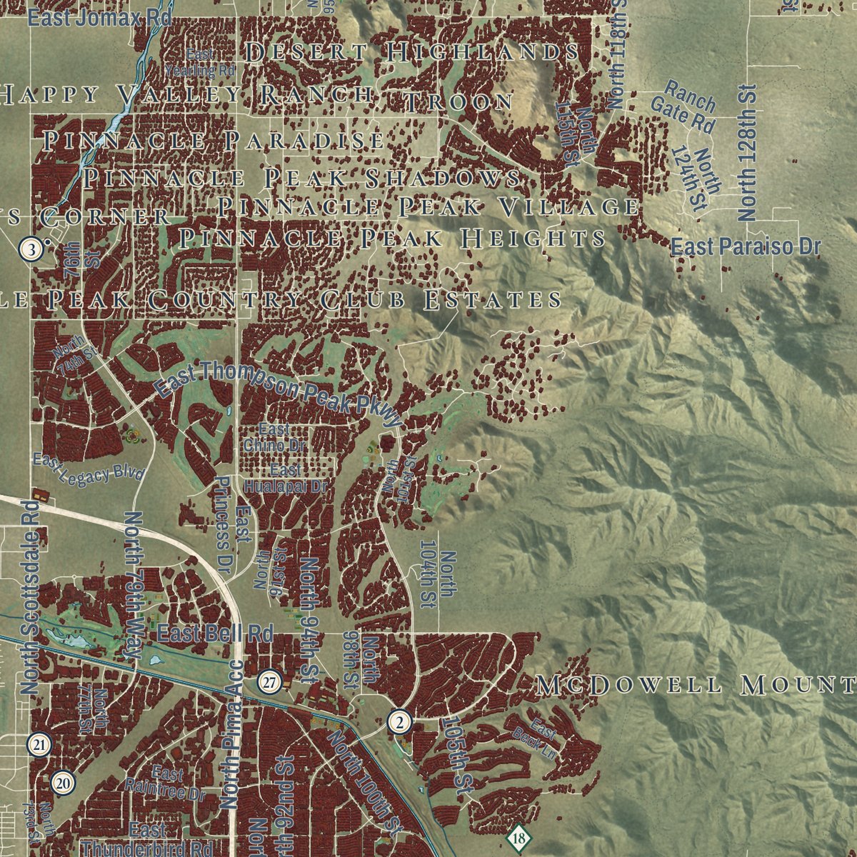
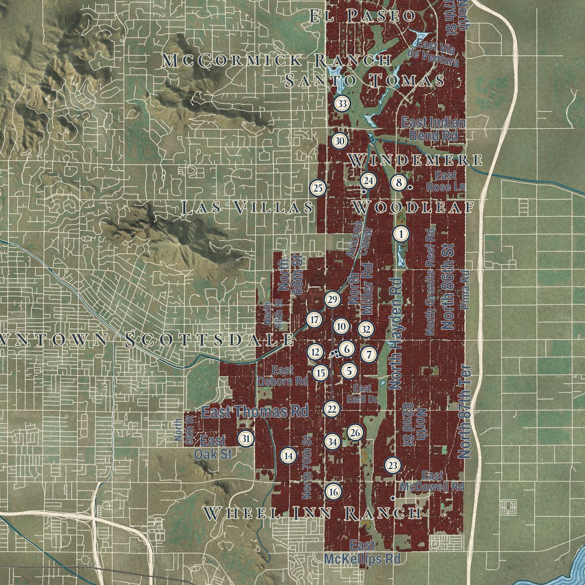
Explore Scottsdale, Arizona from a whole new perspective. Created using aerial imagery and detailed geographic data, this map captures Scottsdale building by building, with labeled streets, familiar landmarks, and shaded topographical relief that highlights the natural contours of the landscape.
Combining modern data with the timeless character of a vintage atlas, this map is just as interesting up close as it is beautiful on the wall. Whether you grew up in Scottsdale, spent memorable years there, or call it home today, this unique map is a great way to celebrate a place that means something to you. Zoom in on the preview to look for your street, and then order a print to put your memories on the wall.

Three ways to hang it
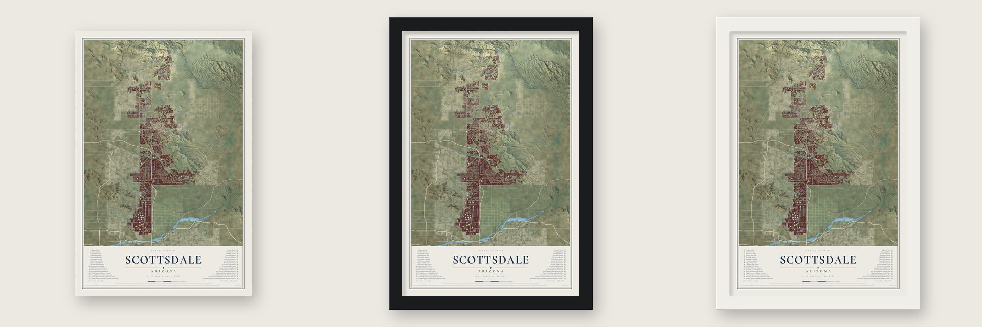
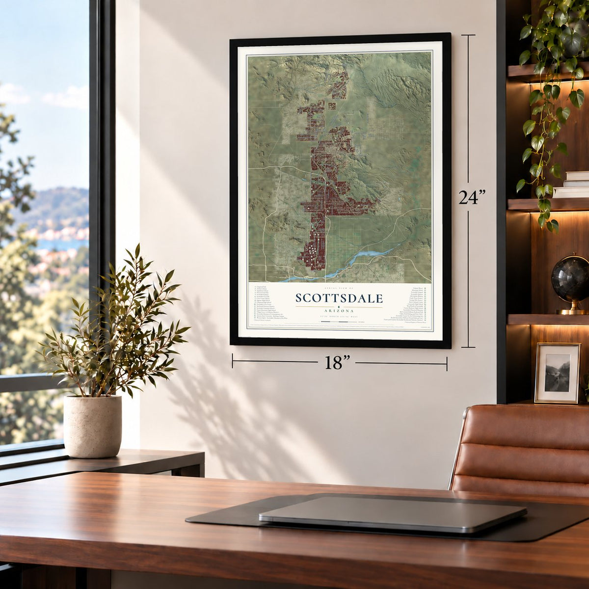
Unframed archival matte, a black wood frame or a white wood frame.
Up close
Geography Worth Displaying
This map was created using accurate cartographic data and authoritative geographic sources, including the U.S. Geological Survey (USGS) and FEMA. The map brings together terrain, waterways, roads, and building detail. The majority of the streets are labeled, houses are accurately depicted, and the topography is derived from government sources. Combining local data with carefully composed color and shading leads to this beautifully detailed Scottsdale artwork for your wall.
Rather than simply showing street outlines, we’ve included as many of the street names as we could reasonably fit on the map while keeping their names legible. Zoom in on the high resolution preview to see exactly what’s on the map. We truly set out to create a statement piece for anyone who loves Scottsdale. So whether it’s for you, or a gift for someone you love, we hope this map of Scottsdale brings back fond memories.
Explore the full map of Scottsdale, Arizona and read about the local places it shows.

Find your street
Names on the Scottsdale map
Every name below is printed on this map. Look for your street, your school, the park where you played, or the pond down the road.
Places and landmarks36
- Downtown Scottsdale
- McDowell Sonoran Preserve
- McDowell Mountain Ranch
- Heritage Terrace
- Troon
- Carefree Foothills
- Shiloh Canyon
- Currys Corner
- Woodleaf
- Wheel Inn Ranch
- Sincuidados
- Happy Valley Ranch
Show all 36 places
- Buenavante
- Taliesin West
- Santo Tomas
- Reata Pass
- Mission Monterey
- Sweetwater Ranch
- Pinnacle Peak Heights
- Pinnacle Peak Village
- Country Horizons
- McCormick Ranch
- Preston Hills
- Pinnacle Peak Country Club Estates
- Dixileta Verde
- Windemere
- Las Villas
- Pinnacle Peak Shadows
- Scottsdale Ranch
- Gainey Ranch
- Pinnacle Paradise
- Desert Highlands
- Ensenada del Oro
- Continental Village
- El Paseo
- Casa Rica
Streets and roads115
- North Scottsdale Road
- North Pima Road
- North Hayden Road
- North 78th Street
- East Thompson Peak Parkway
- East Dynamite Boulevard
- East Via Linda
- North 136th Street
- North 84th Street
- East Jomax Road
- North 79th Way
- North 86th Street
- North 92nd Street
- North 94th Street
- North 90th Street
- North 128th Street
- East Cholla Street
- East Bell Road
- North Cave Creek Road
- East Pinnacle Vista Drive
- North 96th Street
- East Rio Verde Drive
- East Thomas Road
- North 87th Terrace
- North Pima Acc
- East Lone Mountain Road
- East Paraiso Drive
- Brangus Road
- East Westland Road
- 80th Street
Show all 115 streets
- 105th Street
- East Shea Boulevard
- North Miller Road
- North 76th Street
- North 82nd Street
- North 68th Street
- East Cactus Road
- North 87th Street
- North 64th Street
- North Pinnacle Peak Power Line Road
- North 100th Street
- North 71st Street
- North 104th Street
- East Larkspur Drive
- East Oak Street
- East Princess Drive
- East Thunderbird Road
- North 118th Street
- North 124th Street
- North 98th Street
- East Four Corners Power Line Road
- North 60th Street
- North 111th Place
- East Mark Lane
- North 115th Street
- North 132nd Street
- East Indian Bend Road
- East Stagecoach Pass Road
- East Cave Creek Road
- 76th Street
- East McKellips Road
- North Old Mine Road
- Covey Trail
- Ranch Gate Road
- Eagle Ridge Drive
- 118th Street
- North Granite Reef Road
- North 77th Street
- North 70th Street
- North 91st Street
- North 93rd Street
- East Raintree Drive
- East Sweetwater Avenue
- East Legacy Boulevard
- East Osborn Road
- East McDowell Road
- North 77th Place
- North 108th Place
- North 120th Street
- North 102nd Place
- East Whisper Rock Trail
- East Stagecoach Pass
- East Carefree Highway
- East Hualapai Drive
- Arizona Canal
- East Via de Ventura
- Pima Road
- Brahma Road
- East Peak View Road
- East Rose Lane
- East Chino Drive
- North 138th Street
- Atrevido
- North Desert Mountain Parkway
- North 74th Street
- North 73rd Street
- North 66th Street
- North 95th Street
- North 101st Street
- East Earll Drive
- North 113th Place
- East Via Dona Road
- North 56th Street
- North Boulder View Drive
- North 74th Way
- North 105th Street
- Alma School Road
- East Yearling Road
- North Mirabel Club Drive
- North 119th Street
- North 137th Street
- East Beck Lane
- North 141st Street
- Ashler Hills Drive
- Kalil Drive
Names are listed as they appear on the printed map. Zoom into the product photos to find them.
About Scottsdale, Arizona
Scottsdale is a city of 241,361 people in eastern Maricopa County, in the Phoenix metropolitan area. Long before settlers came, the Akimel O'odham had a village here named Vaṣai S-vaṣonĭ, which means "rotting hay." In the 1880s an Army chaplain named Winfield Scott toured the Salt River Valley and saw good farmland. He came back with his wife, Helen, in 1888 and paid $3.50 an acre for 640 acres on the ground that is now Old Town.
A neighbor to the south, Albert G. Utley, filed county plans for a town called "Orangedale." The Arizona Republican wrote about the plan but printed the name as "Scottsdale," and the attention that story brought persuaded Utley to change his filing to match. A school opened in 1896, and J. L. Davis opened the first general store, home of the first post office, in 1897. After the Granite Reef and Roosevelt dams were finished in 1908 and 1911, the town grew into a market center for farm families.
- The Little Red SchoolhouseIn 1909 the town built the Scottsdale Grammar School, a red brick building with two classrooms that cost $4,500. Over the years it served as City Hall and also held the town's library, its chamber of commerce and its justice court. Plans for the Scottsdale Mall would have torn it down, so the Scottsdale Historical Society formed in 1969 to rescue it. The building reopened as a history museum in November 1991.
- A city on June 25, 1951About 2,000 people lived in Scottsdale when it incorporated. The new city appointed Malcolm White as its first mayor, adopted the motto "The West's Most Western Town," and took a seal by Gene Brown Pennington showing a cowboy on horseback inside a 64-pointed starburst. By the end of the 1950s the population had reached 10,000.
- A park instead of a canalAs the city spread into the Indian Bend Wash floodplain, the Army Corps of Engineers proposed concrete channels and levees to carry floodwater. Local planners favored a green, multi-use plan, and voters rejected the canal plan in a 1965 bond vote. Work began in earnest after a major flood in 1972 and was finished in 1984. The 12-mile Scottsdale Greenbelt now ties Vista del Camino, Eldorado, Indian School and Chaparral parks together along a 25-mile bike path.
- Where Roosevelt met Mackenzie KingIn 1967 the Fowler McCormicks gave the city 100 acres of their ranch for a public park, and Guy Stillman laid his Paradise and Pacific Railroad there with help from the U.S. Marines. The park opened on October 4, 1975. It holds the Roald Amundsen, a 1928 Pullman car on which Franklin Roosevelt and W. L. Mackenzie King agreed to the Ogdensburg Declaration on August 18, 1940.
- Taliesin West, 1937During the Depression, artists and architects moved to Scottsdale. Among them was Frank Lloyd Wright, who bought 600 acres of desert with his wife below the McDowell Mountains in 1937. There he built Taliesin West, his winter home and the southwestern base of his firm.
Keep exploring Arizona
Scottsdale is one of 519 Arizona towns we've mapped. Every dot on the map is a print of its own.
The search covers every state, Arizona first.
Near Scottsdale
Order 2 or more town maps and save 10%. Shown in the size and finish you picked above, so they hang as a set.
- Fountain Hills 12" x 18" / Archival Matte Print $39.99
- Carefree 12" x 18" / Archival Matte Print $39.99
- Paradise Valley 12" x 18" / Archival Matte Print $39.99


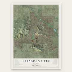
More maps nearby: Rio Verde, Fort McDowell Yavapai Nation, Cave Creek, Salt River Pima-Maricopa Indian Community and Moon Valley.
The art of mapping a place
How This Map Was Made
Real places. Remarkable detail. Discover the layers that turn geographic data into a map of home.

The view from above
Aerial imagery reveals the character of the land: woodland, open fields, and the patterns of a place.

The shape of the land
Elevation data brings hills, valleys, and subtle changes in the landscape into view.

The details of home
Roads, waterways, and building footprints come together to make the map feel unmistakably local.

Geography becomes art
Considered color, shading, and typography bring the layers together in a map made for your wall.


Process illustrated with Mendon, Massachusetts. Aerial imagery: USDA NAIP. Terrain: USGS 3D Elevation Program. Map details and finished artwork: KNOWOL.
The Details
About This Print
Choose an archival matte print, or a black or white Ayous wood frame. The archival matte print is unframed.
Select your size and finish above to see the matching product image and price.
Materials & Craftsmanship
A contemporary map with the character of a classic atlas, printed on archival matte paper. Optional frames are made from Ayous wood.
Your printed map does not include the watermark shown in the full-map preview.
Shipping & Delivery
Free shipping within the United States. Every print is made to order in the USA.
Buying a gift? Add a note in your cart and we'll include it. We never put prices in the package.
Prints ship within 2 to 3 business days. Allow 7 to 10 days total from ordering for delivery. Timing may vary during holidays or periods of high order volume.
Read our shipping policy.
Returns and damaged prints
Each print is made to order. Change-of-mind refunds are not available after production.
If your print arrives damaged, misprinted or incorrect, contact support@knowol.com within 30 days of receiving it. Include your order number, photos and a description of the issue.
Read our full refund and replacement policy. For questions about your order, email support@knowol.com.