
Search for another town


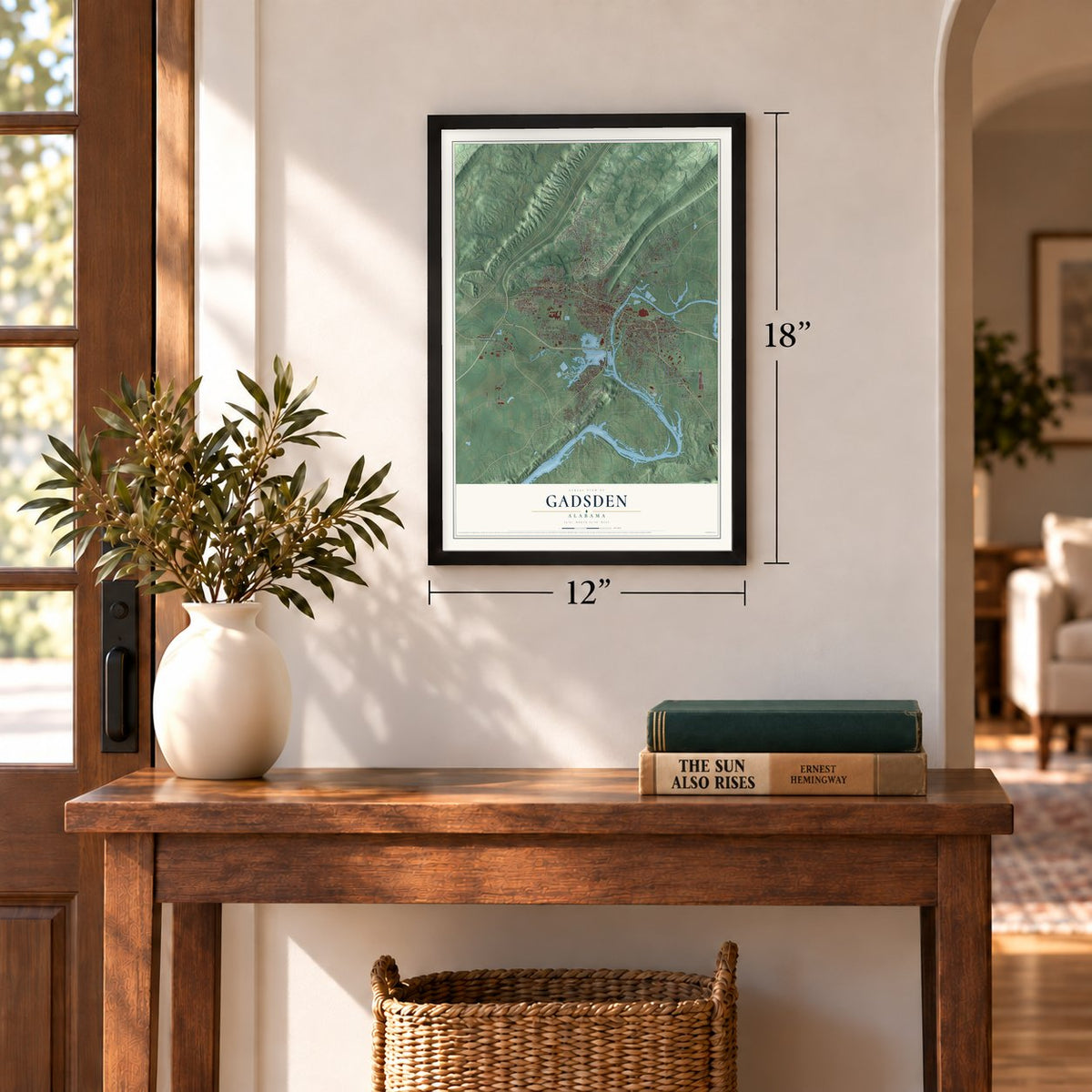
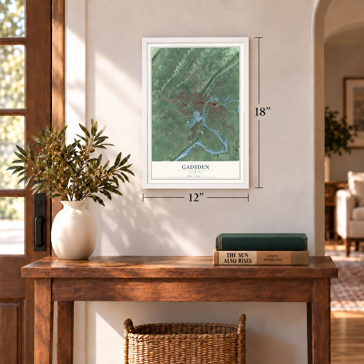

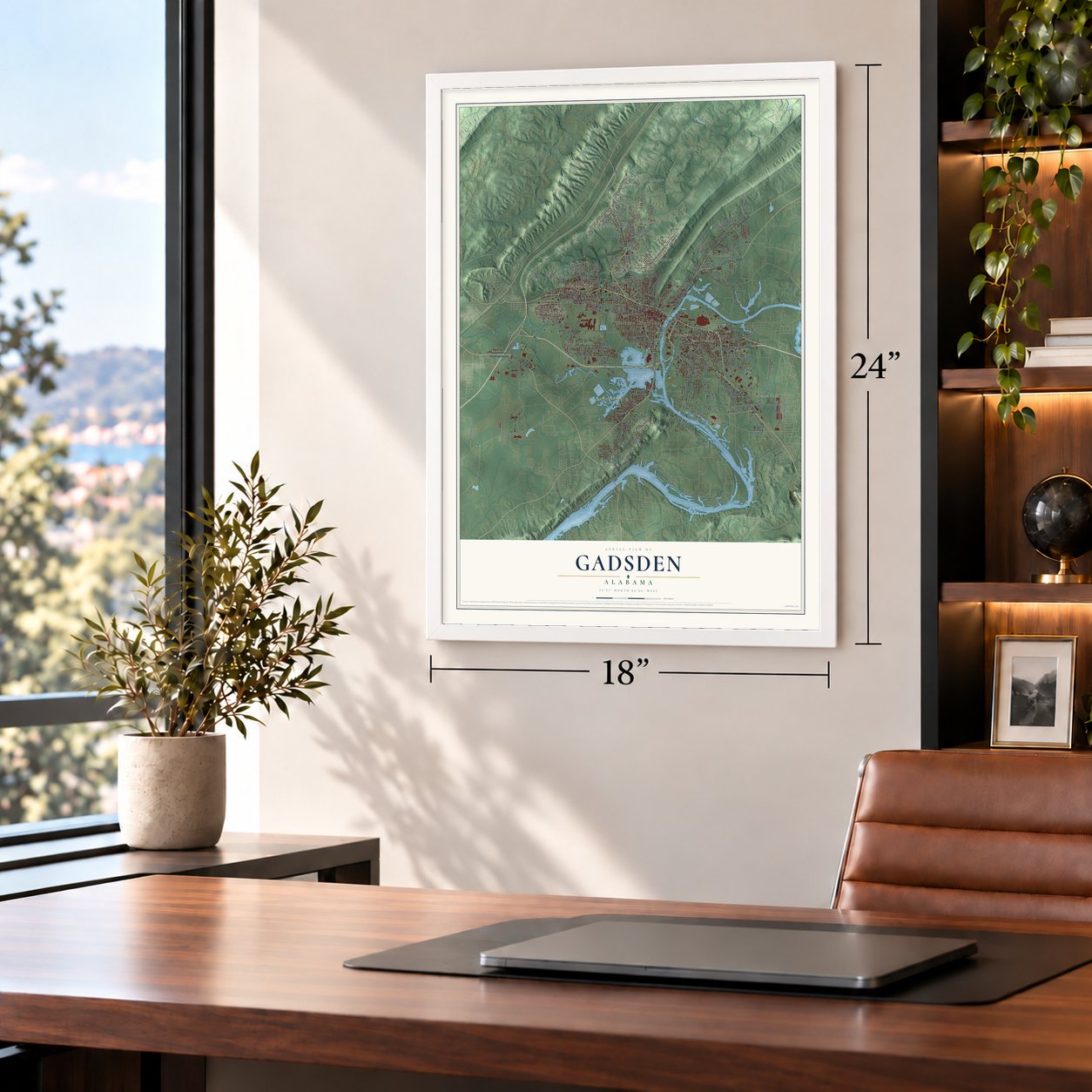

Free U.S. delivery 7 to 10 days after you order
Gadsden, Alabama Map Art
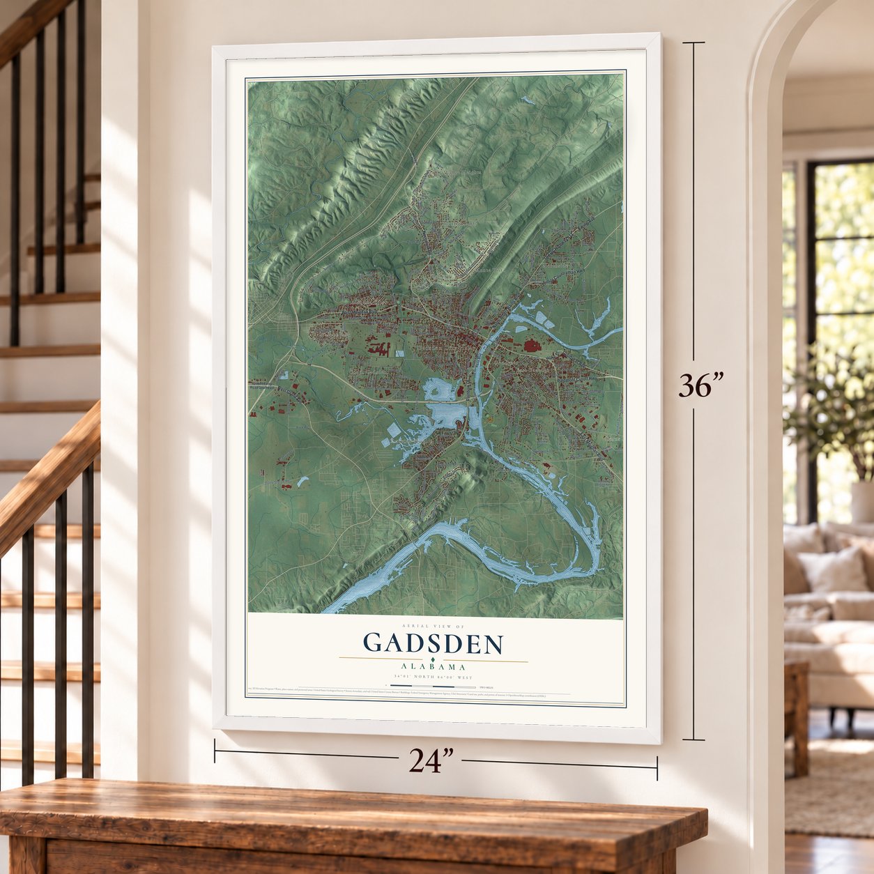
A new map of Gadsden, Alabama, made in 2026 and printed to order on thick archival matte paper.
12" x 18" Archival Matte Print
A Map of Home. A Work of Art.
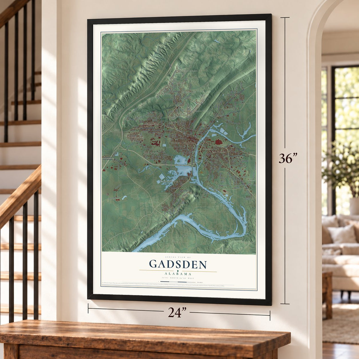
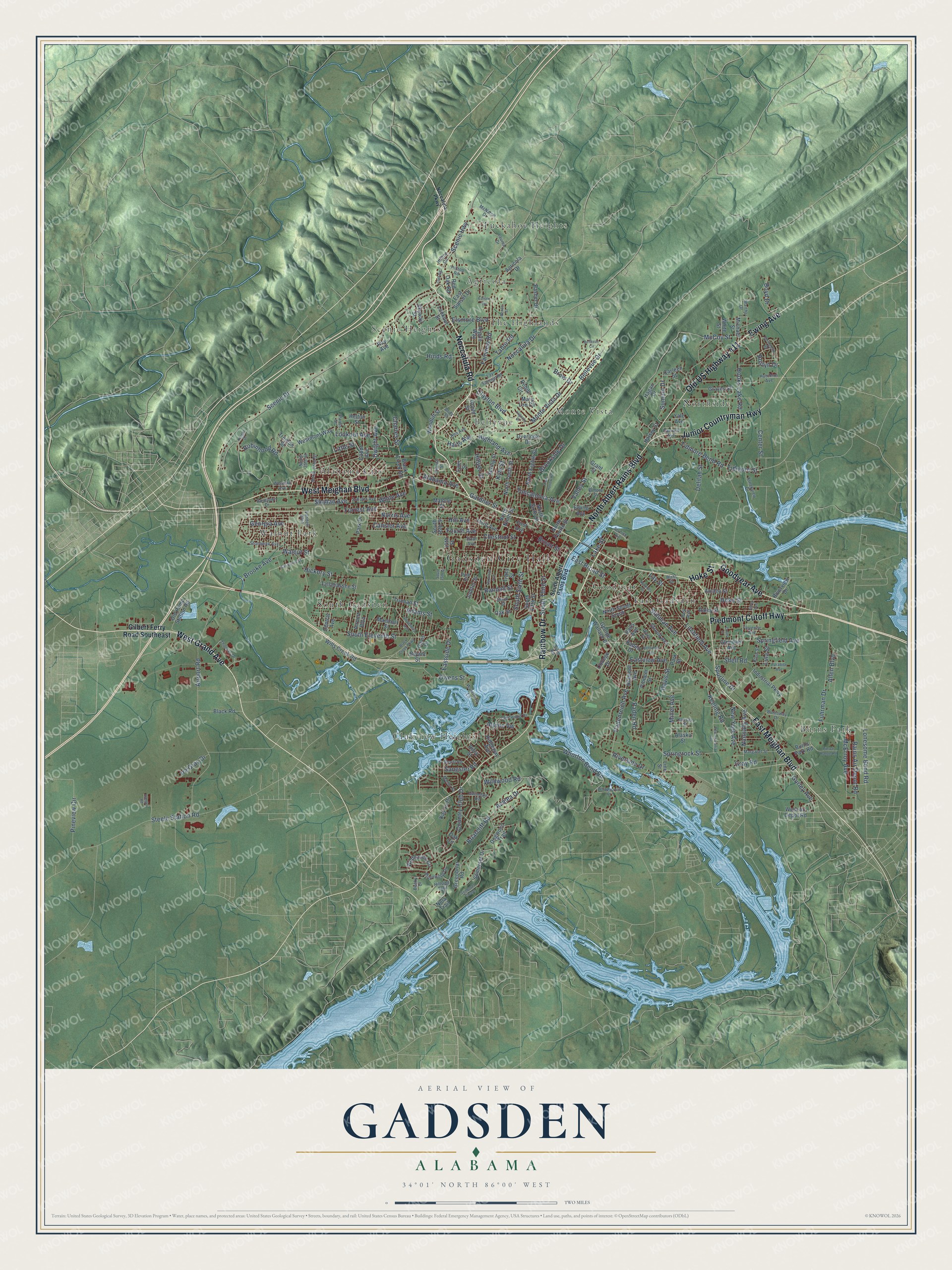
Explore Gadsden, Alabama from a whole new perspective. Created using aerial imagery and detailed geographic data, this map captures Gadsden building by building, with labeled streets, familiar landmarks, and shaded topographical relief that highlights the natural contours of the landscape.
Combining modern data with the timeless character of a vintage atlas, this map is just as interesting up close as it is beautiful on the wall. Whether you grew up in Gadsden, spent memorable years there, or call it home today, this unique map is a great way to celebrate a place that means something to you. Zoom in on the preview to look for your street, and then order a print to put your memories on the wall.
Three ways to hang it
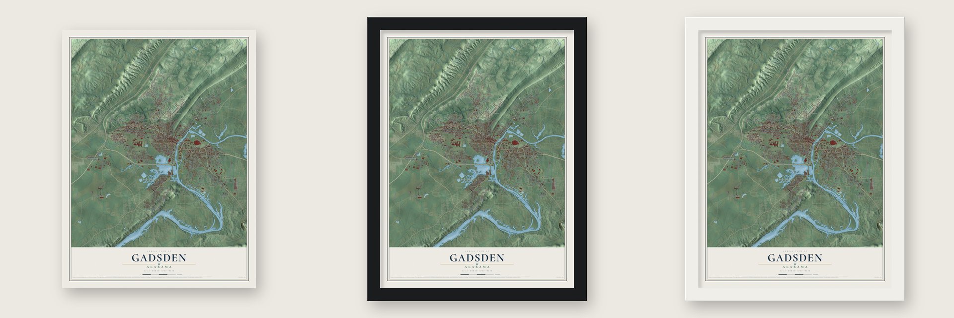
Unframed archival matte, a black wood frame or a white wood frame.
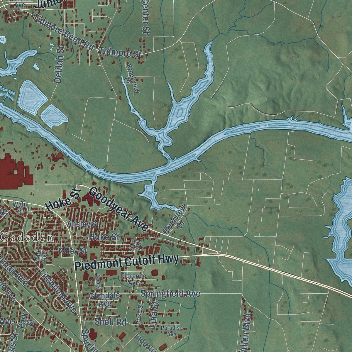
Up close
Geography Worth Displaying
This map was created using accurate cartographic data and authoritative geographic sources, including the U.S. Geological Survey and the Census Bureau. The map brings together terrain, waterways, roads, and building detail. The majority of the streets are labeled, houses are accurately depicted, and the topography is derived from government sources. Combining local data with carefully composed color and shading leads to this beautifully detailed Gadsden artwork for your wall.
Rather than simply showing street outlines, we’ve included as many of the street names as we could reasonably fit on the map while keeping their names legible. Zoom in on the high resolution preview to see exactly what’s on the map. We truly set out to create a statement piece for anyone who loves Gadsden. So whether it’s for you, or a gift for someone you love, we hope this map of Gadsden brings back fond memories.
Read the story behind this map of Gadsden, Alabama from 2026.

About Gadsden, Alabama
Gadsden is a city of 33,945 people and the county seat of Etowah County, on the Coosa River at the southern end of Lookout Mountain. Around 1825 John Riley, of mixed American Indian and European ancestry, built a house beside two springs and ran it as a stagecoach stop on the road between Huntsville and Rome. The village that grew there was called Double Springs, and Riley's house still stands as the oldest building in Gadsden.
In 1840 the brothers Gabriel and Asenath Hughes bought Riley's house and much of the ground bounded by Lookout Mountain, the Coosa River and Wills Creek. On July 4, 1845, Captain James Lafferty brought the steamboat Coosa up to the settlement. The Hughes brothers wanted to call the place Lafferty's Landing, but residents chose Gadsden instead, for Col. James Gadsden of South Carolina, who later arranged the Gadsden Purchase. Gadsden was incorporated in 1867 as the seat of the new Baine County, and when Etowah County replaced it in 1868, the town kept its role as county seat.
- Emma Sansom's ride, 1863On May 2, 1863, a girl named Emma Sansom led General Nathan Bedford Forrest's Confederate cavalry across Black Creek here as they chased the Union raiders of Colonel Abel Streight. Forrest went on to capture Streight and his men, which kept the railroad that supplied the Confederate Army of Tennessee in Southern hands. A state marker placed in 1952 on Meighan Avenue at North 21st Street remembers her.
- A river port behind only MobileSteamboats on the Coosa made Gadsden a port and warehouse town, and in the 19th century it ranked second only to the seaport of Mobile as Alabama's center of trade and industry. Gulf States Steel and the Dwight Manufacturing Company built mills here, and the town grew from 1,697 people in 1880 to 10,557 in 1910. Goodyear Tire and Rubber opened a plant in 1929.
- More than 16 million shellsDuring World War II the Gadsden Ordnance Plant made shells for cannons, and by the end of the war in 1945 it had turned out more than 16 million of them. Factory work carried the city for decades after. Republic Steel bought Gulf States Steel in 1937 and closed the mill in 2000, and the Goodyear plant shut in 2020. In 1991 the National Civic League named Gadsden an All-America City.
- Alabama Power's founderWilliam Patrick Lay was born in Gadsden in 1853. In 1903 he built a hydroelectric dam on nearby Big Wills Creek that supplied electricity to the neighboring town of Attalla, and in 1906 he went on to found Alabama Power.
Find your street
Names on the Gadsden map
Every name below is printed on this map. Look for your street, your school, the park where you played, or the pond down the road.
Places and landmarks15
- Gadsden City Hall
- Agricola
- Alabama City
- Bellevue
- Burns Park
- Clubview Heights
- East Gadsden
- Goodyear
- Monte Vista
- Northside
- Scenic Heights
- South Gadsden
Show all 15 places
- The Highlands
- Tuckahoe Heights
- Walnut Park
Streets and roads252
- Noccalula Road
- Piedmont Cutoff Highway
- Hoke Street
- West Grand Avenue
- East Meighan Boulevard
- West Meighan Boulevard
- Rainbow Drive
- Ewing Avenue
- Old US Highway 411
- North Albert Rains Boulevard
- Junior Countryman Highway
- Goodyear Avenue
- East Broad Street
- Tuscaloosa Avenue
- Dwight Avenue
- Broad Street
- Scenic Drive
- Forrest Avenue
- Alpine Vw
- Keeling Road
- Roslyn Drive
- South Eleventh Street
- Bellevue Drive
- Chestnut Street
- Riverside Drive
- Airport Road
- Walnut Street
- Hinds Road
- Hooks Lake Road
- Steele Station Road
Show all 252 streets
- Hickory Street
- Padenreich Avenue
- Fairview Road
- Springfield Avenue
- Whorton Bend Road
- Paden Road
- Monte Vista Drive
- Brooke Avenue
- Country Club Drive
- Litchfield Avenue
- Highland Avenue
- Tidmore Bend Road
- Tidmore Street
- Wildwood Road
- Adams Street
- Randall Street
- South Sixth Street
- Noccalula Drive
- Tabor Road
- Rains Air Depot Road
- Hill Avenue
- Robinhood Road
- Fuhrman Drive
- Cansler Avenue
- Scenic Highway
- South Third Street
- Gardner Street
- Norris Avenue
- Miller Avenue
- Azalea Drive
- Georgia Avenue
- Valley Street
- Brow Drive
- Fourth Avenue
- Nunnally Avenue
- McErroy Avenue
- Davis Street
- McCoy Street
- Lonesome Bend Road
- Springrock Street
- Eastside Drive
- Lookout Avenue
- New York Avenue
- Stillman Avenue
- Eastview Avenue
- Gurley Avenue
- Summit Drive
- Brookside Drive
- Alabama Avenue
- Gray Road
- Center Street
- Sangster Road
- Shahan Avenue
- Boyd Drive
- Owens Street
- Shell Road
- Elsmore Boulevard
- Allen Boulevard
- Harts Avenue
- Pineview Circle
- Clayton Boulevard
- Spurline Drive
- Delilah Street
- Ira Gray Drive
- Briarcliff Road
- White Avenue
- Hillyer Street
- Lake Street
- Charles Street
- Lay Street
- Lula Street
- Kyle Street
- Little Street
- Gilbert Ferry Road Southeast
- George Wallace Drive
- College Drive
- Paden Drive
- Industrial Parkway
- Agricola Drive
- South Fifth Street
- Wills Creek Road
- Marshall Street
- Lookout Street
- North Fourth Street
- North Ninth Street
- Raley Street
- Central Avenue
- North Tenth Street
- Wildhaven Circle
- First Avenue
- Mary Lou Circle
- Cabot Avenue
- East Sunset Drive
- Graves Street
- North Eighth Street
- Pioneer Street
- Greenbriar Road
- Somerset Drive
- Ansley Street
- Westmont Way
- Overlook Drive
- Old Pump Station Road
- Line Street
- Woodliff Street
- Riley Street
- North Sixth Street
- Stroud Avenue
- Airport Boulevard
- Davis Drive
- Dogwood Trail
- Ninth Street South
- Malone Street
- Bryant Street
- Tallahassee Street
- Truman Street
- Grant Street
- Ridgeway Avenue
- South 16th Street
- Black Road
- Oak Circle
- Argyle Way
- Third Avenue
- West Air Depot Road
- Red Oak Road
- Burns Park Road
- Robin Circle
- Black Creek Road
- Hillmont Avenue
- Carleen Street
- Glendale Avenue
- Spring Street
- Halsey Street
- Riverview Drive
- Hagan Drive
- Skyway Street
- Oak Street
- Basher Drive
- Jupiter Street
- Kay Lu Drive
- Trenton Street
- Alaska Street
- Ralls Avenue
- 14th Street
- Helton Street
- Michael Street
- Park Drive
- White Street
- Tracy Street
- Nola Trail
- Gould Street
- Park Street
- Tyler Street
- Ray Avenue
- Yale Avenue
- South Albert Rains Boulevard
- Lay Springs Road
- Stonewall Avenue
- Vandell Boulevard
- Lakewood Drive
- Western Avenue
- McNaron Drive
- Park Avenue
- Martha Drive
- Bridlewood Drive
- North 32nd Street
- Hutchins Avenue
- Hillside Trail
- Alcott Road
- Margaret Street
- Thomas Drive
- Manor Street
- Lauren Drive
- River Road
- Waterford Lane
- Kreekview Drive
- Gwindale Road
- Hilltop Circle
- North 35th Street
- Florence Avenue
- Schuler Avenue
- Roselawn Drive
- Burnsway Drive
- Rose Street
- Wahl Street
- River Street
- Hilltop Road
- Kansas Street
- Slack Street
- Sixth Avenue
- Pine Street
- Harvard Avenue
- Ann Avenue
- Elmore Street
- Pariss Street
- Church Street
- Becky Drive
- Body Street
- Noccalula Parkway
- Seventh Avenue
- Nuckolls Street
- South 15th Street
- California Street
- Pennsylvania Avenue
- Hanger Road
- Paradise Avenue
- Owls Hollow Road
- Somerset Chase
- Haralson Avenue
- Bellevue Circle
- Pierce Range Road
- Kentucky Avenue
- Broadway Avenue
- Lugenia Drive
- Springdale Road
- Black Creek Parkway
- Whippoorwill Drive
- Coats Street
- Silver Avenue
- Knight Drive
- Edison Avenue
- Cliff Road
- Renee Street
Names are listed as they appear on the printed map. Zoom into the product photos to find them.
The art of mapping a place
How This Map Was Made
Real places. Remarkable detail. Discover the layers that turn geographic data into a map of home.

The view from above
Aerial imagery reveals the character of the land: woodland, open fields, and the patterns of a place.

The shape of the land
Elevation data brings hills, valleys, and subtle changes in the landscape into view.

The details of home
Roads, waterways, and building footprints come together to make the map feel unmistakably local.

Geography becomes art
Considered color, shading, and typography bring the layers together in a map made for your wall.


Process illustrated with Mendon, Massachusetts. Aerial imagery: USDA NAIP. Terrain: USGS 3D Elevation Program. Map details and finished artwork: KNOWOL.
The Details
About This Print
Choose an archival matte print, or a black or white Ayous wood frame. The archival matte print is unframed.
Select your size and finish above to see the matching product image and price.
Materials & Craftsmanship
A contemporary map with the character of a classic atlas, printed on archival matte paper. Optional frames are made from Ayous wood.
Your printed map does not include the watermark shown in the full-map preview.
Shipping & Delivery
Free shipping within the United States. Every print is made to order in the USA.
Buying a gift? Add a note in your cart and we'll include it. We never put prices in the package.
Prints ship within 2 to 3 business days. Allow 7 to 10 days total from ordering for delivery. Timing may vary during holidays or periods of high order volume.
Read our shipping policy.
Returns and damaged prints
Each print is made to order. Change-of-mind refunds are not available after production.
If your print arrives damaged, misprinted or incorrect, contact support@knowol.com within 30 days of receiving it. Include your order number, photos and a description of the issue.
Read our full refund and replacement policy. For questions about your order, email support@knowol.com.
Find your town
Looking for another city?
Find a map of home in our Alabama collection, or any town in the country.
Nearby
Maps of towns near Gadsden
Know someone from one of these towns? Their map makes a great gift.
 Reece City
, Alabama
From $39.99See the map
 Tidmore Bend
, Alabama
From $39.99See the map
 Ridgeville
, Alabama
From $39.99See the map
More maps nearby: Attalla, Glencoe, Rainbow City, Ivalee and Southside.