
Search for another town

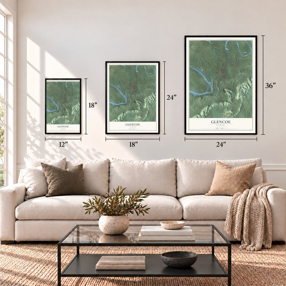

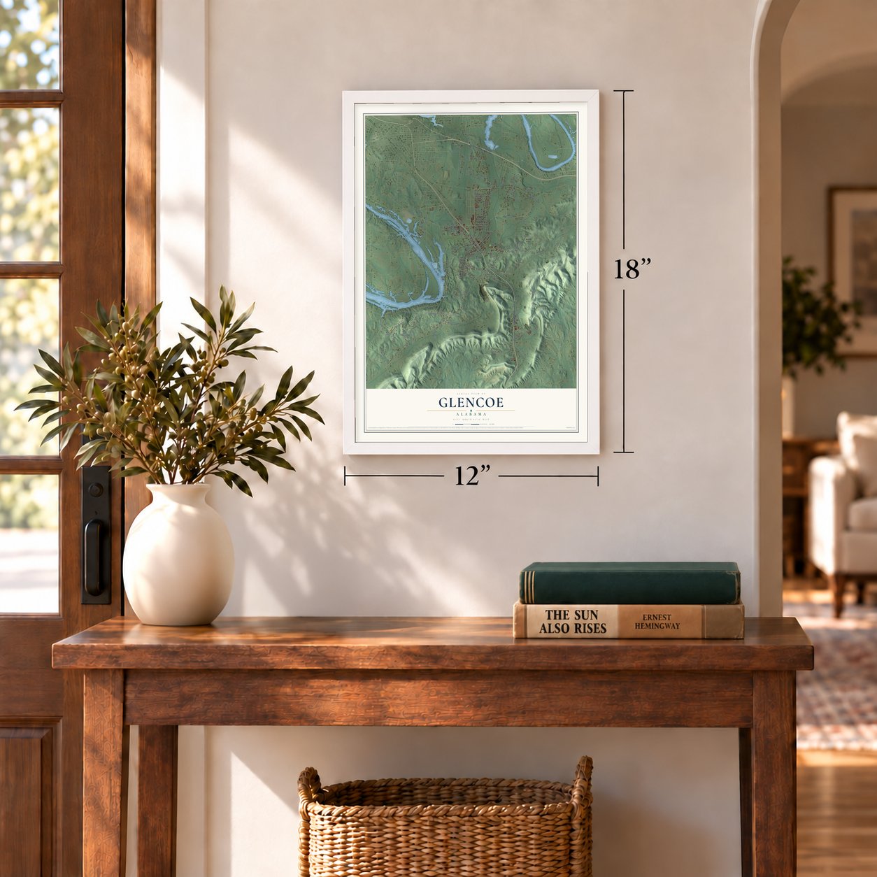

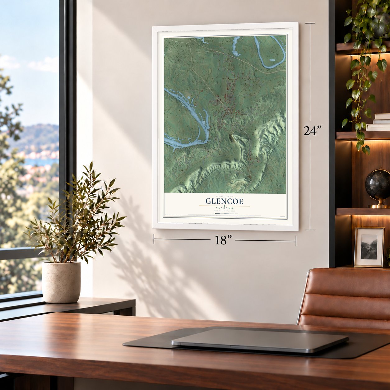

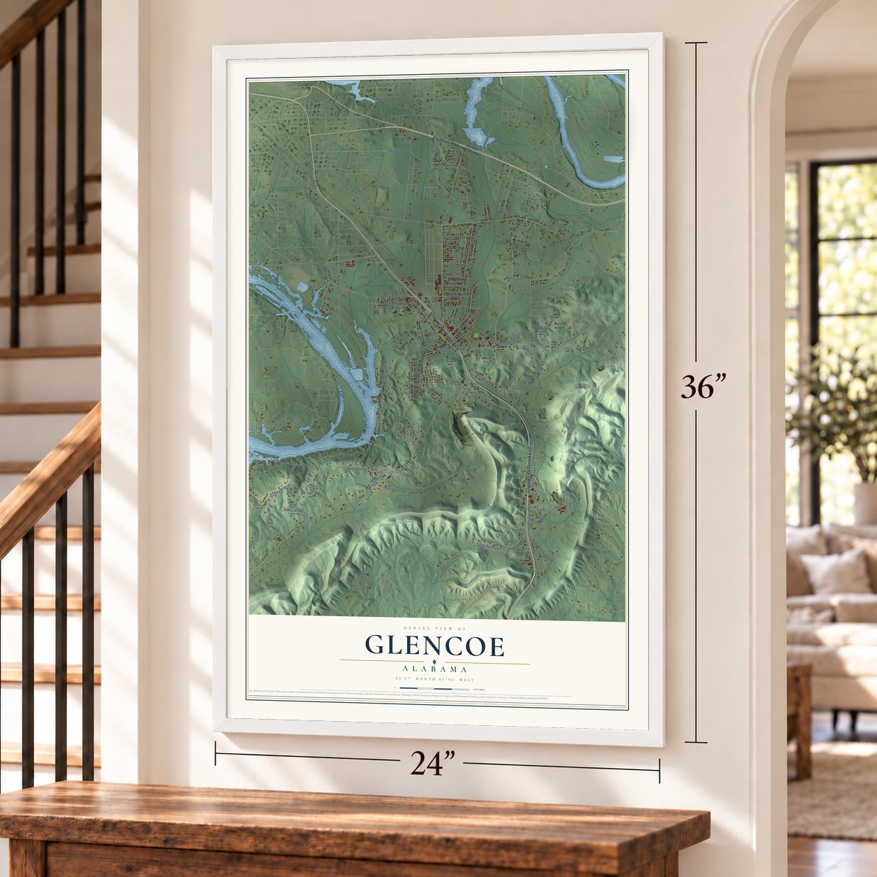
Free U.S. delivery 7 to 10 days after you order
Glencoe, Alabama Map Art
A new map of Glencoe, Alabama, made in 2026 and printed to order on thick archival matte paper.
12" x 18" Archival Matte Print
A Map of Home. A Work of Art.
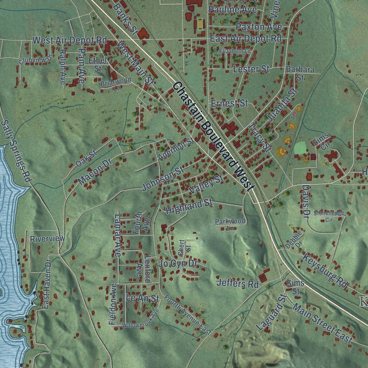
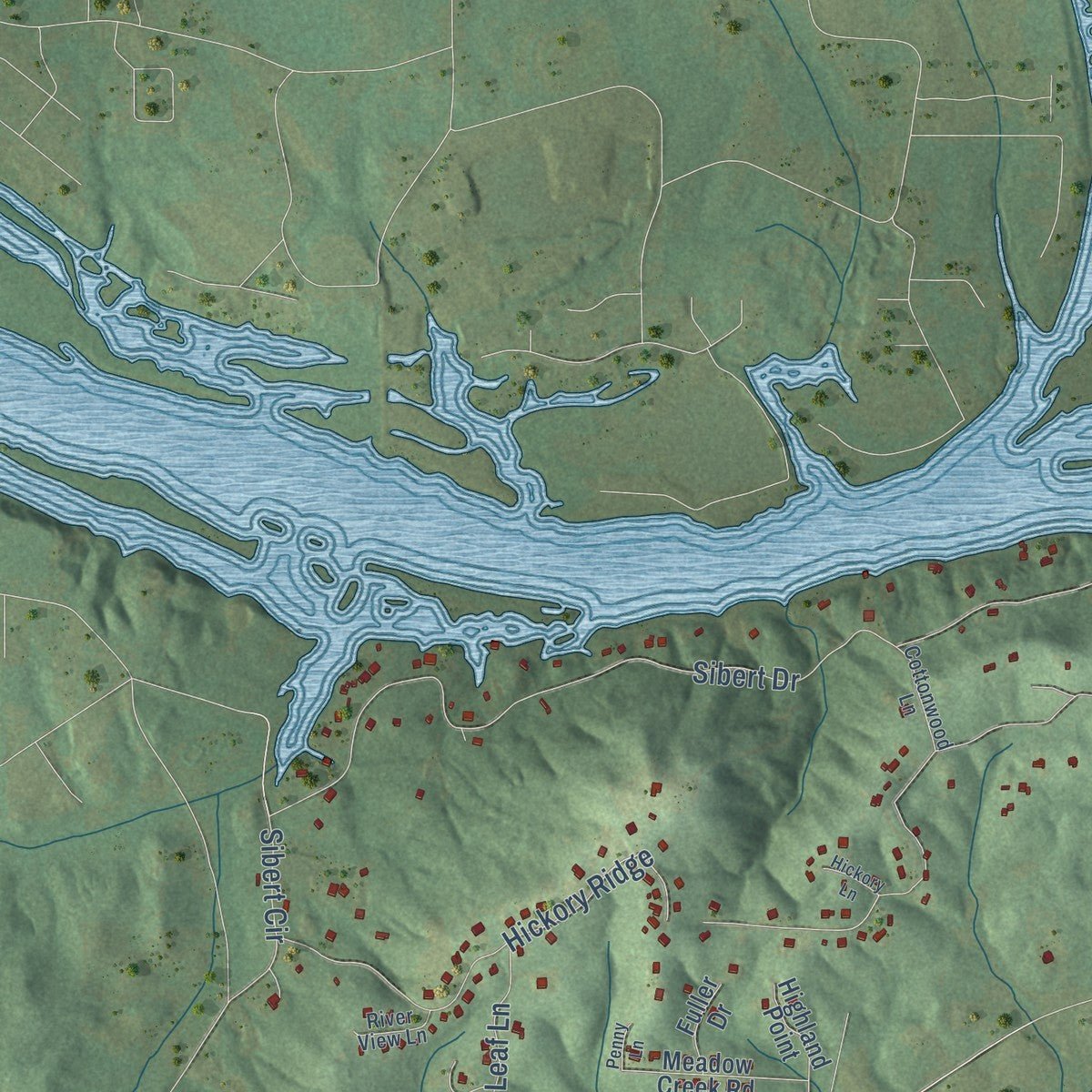
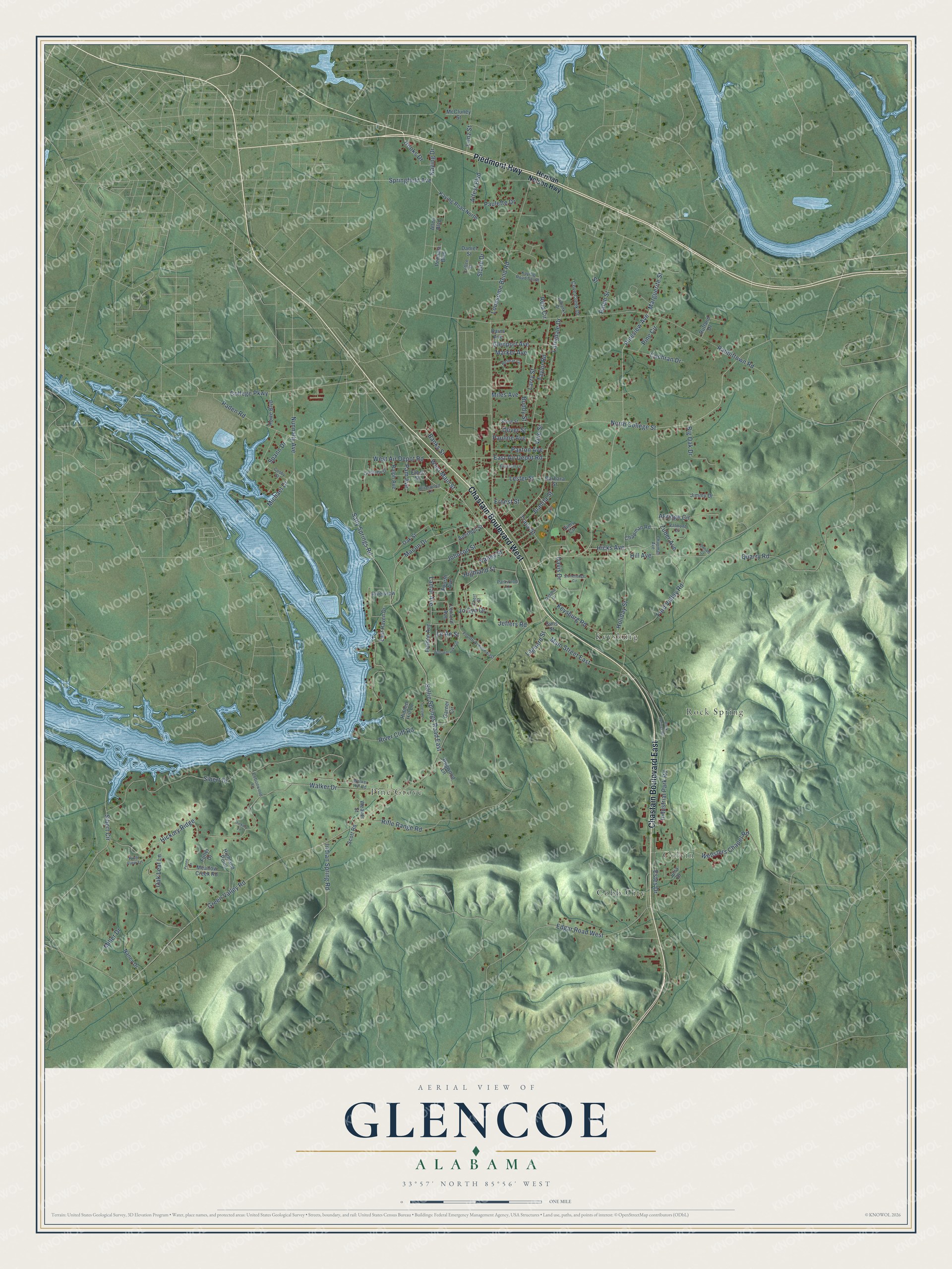
Explore Glencoe, Alabama from a whole new perspective. Created using aerial imagery and detailed geographic data, this map captures Glencoe building by building, with labeled streets, familiar landmarks, and shaded topographical relief that highlights the natural contours of the landscape.
Combining modern data with the timeless character of a vintage atlas, this map is just as interesting up close as it is beautiful on the wall. Whether you grew up in Glencoe, spent memorable years there, or call it home today, this unique map is a great way to celebrate a place that means something to you. Zoom in on the preview to look for your street, and then order a print to put your memories on the wall.
Three ways to hang it
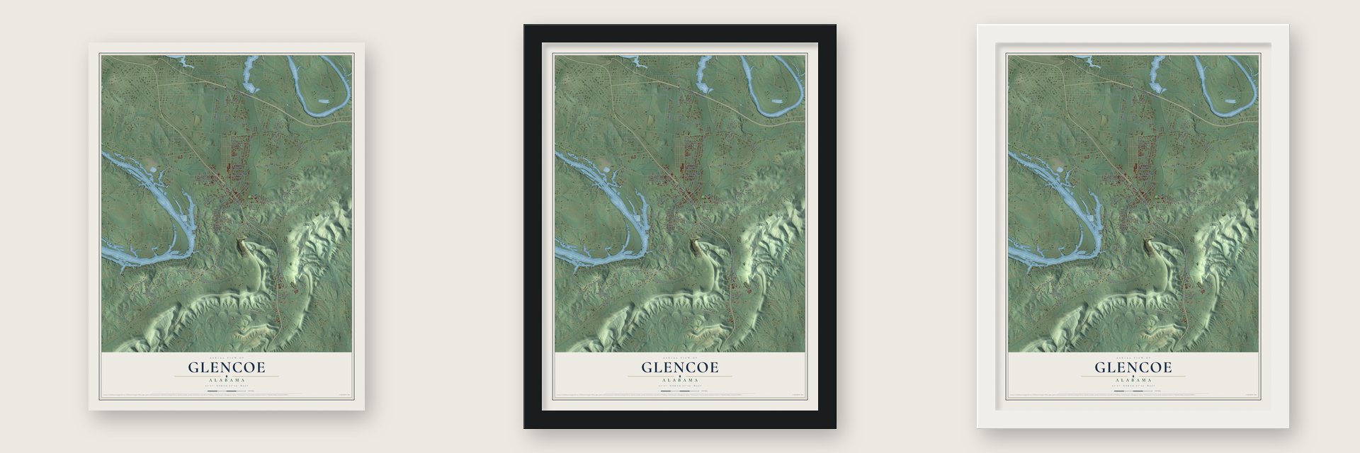
Unframed archival matte, a black wood frame or a white wood frame.
Up close
Geography Worth Displaying
This map was created using accurate cartographic data and authoritative geographic sources, including the U.S. Geological Survey and the Census Bureau. The map brings together terrain, waterways, roads, and building detail. The majority of the streets are labeled, houses are accurately depicted, and the topography is derived from government sources. Combining local data with carefully composed color and shading leads to this beautifully detailed Glencoe artwork for your wall.
Rather than simply showing street outlines, we’ve included as many of the street names as we could reasonably fit on the map while keeping their names legible. Zoom in on the high resolution preview to see exactly what’s on the map. We truly set out to create a statement piece for anyone who loves Glencoe. So whether it’s for you, or a gift for someone you love, we hope this map of Glencoe brings back fond memories.
Read the story behind this map of Glencoe, Alabama from 2026.

About Glencoe, Alabama
Glencoe is a city of 5,372 people that spans Etowah and Calhoun counties in northeast Alabama. It started out as farm country. Growth came after a rock quarry opened nearby in 1853 and the Louisville & Nashville Railroad laid its tracks through town, and a post office followed in 1877. By the end of that century, five quarries were at work around Glencoe.
Men from Glencoe went off to fight in World War I, and later the Great Depression stalled the town's progress, as it did across Alabama. Glencoe incorporated as a city in 1939, and public services came quickly after that. Alabama Power Company agreed in 1941 to bring in electricity, the city opened its own water system in 1944, and volunteers had formed a fire department by 1946. Home mail delivery started in 1962.
- Named for ScotlandThe town took its name from Glencoe in Scotland. Locals don't say it the Scottish way, though: in Glencoe the name comes out "Glin-ko."
- A high school in 1918For many years the area had only a grammar school. Glencoe High School opened in 1918, and in 1959 the town built a second high school. That same year Glencoe Elementary became a school of its own.
- Celebration in the ParkThe city keeps two parks along Cove Creek, with a municipal pool, ball fields, tennis courts, pavilions and a walking track. Each year they host Celebration in the Park, with vendors, food, games for children, music and a show of antique cars and tractors. The city also holds Cookies with Santa every year.
- Silver Lakes and the CoosaGlencoe is home to Silver Lakes, a course on the Robert Trent Jones Golf Trail. The town also sits on the Coosa River, where people come to fish.
Find your street
Names on the Glencoe map
Every name below is printed on this map. Look for your street, your school, the park where you played, or the pond down the road.
Places and landmarks5
- Cobb City
- Colvin
- Keysburg
- Pine Grove
- Rock Spring
Streets and roads140
- Chastain Boulevard East
- Chastain Boulevard West
- Piedmont Highway
- Pineview Avenue
- West Main Street
- Springfield Avenue
- Marguerite Street
- North College Street
- Hooks Drive
- Kaying Drive
- Nunnally Avenue
- Green Valley Road
- Lonesome Bend Road
- Rabbittown Road
- Sibert Drive
- Sallie Springs Road East
- Sally Springs Road
- Walker Drive
- Taylor Road
- Edgar Road West
- Rifle Range Road
- Quarry Road
- Ford Valley Road
- Johnson Street
- Hill Avenue
- Keysburg Road
- Main Street East
- Macon Drive
- Websters Chapel Road
- Hickory Ridge
Show all 140 streets
- Paden Road
- Estes Drive
- Zuber Avenue
- West Air Depot Road
- Michael Drive
- East Air Depot Road
- Reid Circle
- Holiday Street
- Davis Drive
- River Cliff Road
- Alfest Boulevard
- Larrydale Drive
- Industrial Park Road
- Sibert Circle
- College Parkway
- Akridge Circle
- Highland Street
- Pine Circle
- Paxton Avenue
- Glenport Avenue
- Larry Street
- Oak Leaf Lane
- Tracy Street
- Big Oak Drive
- Juanita Street
- Valley Street
- Lamar Avenue
- Lester Street
- Indian Spring Road
- Cochran Drive
- Miles Avenue
- Banks Street
- Paulette Drive
- Spann Drive
- Lonz Street
- Pauline Avenue
- Ernest Street
- Ralph Street
- Marker Avenue
- Hicks Avenue
- Slade Drive
- Jo Cyn Drive
- Pam Avenue
- Buddy Street
- Laguard Street
- Jeffers Road
- Oliver Street
- Miller Drive
- Vine Street
- Le An Street
- Street
- Herman Nelson Highway
- Fieldon Avenue
- Kaying Road North
- East Haven Drive
- Oak Street
- Riverview
- Lenford Avenue
- Pennala Boulevard
- Aderholt Street
- Highland Point
- Garner Circle
- Meadow Creek Road
- Cove Creek Drive
- Julia Drive
- Chapman Road
- Howe Boulevard
- Allen Boulevard
- Dogwood Lane
- Nancy Drive
- Ralph Avenue
- Ethel Street
- Hidden Hill Lane
- McCluney Street
- Jimmy Drive
- Barbara Street
- Sims Circle
- Daniel Street
- Weaver Street
- Scott Road
- Fuller Drive
- Rutland Drive
- Fourth Avenue
- Sims Street
- Rains Avenue
- Fourth Avenue East
- Walker Hill Road
- Belmar Circle
- Clubview Drive
- Valmont Circle
- Eubanks Drive
- Kaying Road South
- Parkwood Lane
- Stone Street
- Cottonwood Lane
- Chapman Avenue
- Cosby Street
- Chert Street
- Coffee Street
- Briarwood Lane
- River View Lane
- Debbie Drive
- Willowbrook Avenue
- Stonehedge Circle
- Justin Drive
- Elizabeth Lane
- Rock Springs Road
- Donald Court
- Hickory Lane
- Penny Lane
Names are listed as they appear on the printed map. Zoom into the product photos to find them.
The art of mapping a place
How This Map Was Made
Real places. Remarkable detail. Discover the layers that turn geographic data into a map of home.

The view from above
Aerial imagery reveals the character of the land: woodland, open fields, and the patterns of a place.

The shape of the land
Elevation data brings hills, valleys, and subtle changes in the landscape into view.

The details of home
Roads, waterways, and building footprints come together to make the map feel unmistakably local.

Geography becomes art
Considered color, shading, and typography bring the layers together in a map made for your wall.


Process illustrated with Mendon, Massachusetts. Aerial imagery: USDA NAIP. Terrain: USGS 3D Elevation Program. Map details and finished artwork: KNOWOL.
The Details
About This Print
Choose an archival matte print, or a black or white Ayous wood frame. The archival matte print is unframed.
Select your size and finish above to see the matching product image and price.
Materials & Craftsmanship
A contemporary map with the character of a classic atlas, printed on archival matte paper. Optional frames are made from Ayous wood.
Your printed map does not include the watermark shown in the full-map preview.
Shipping & Delivery
Free shipping within the United States. Every print is made to order in the USA.
Buying a gift? Add a note in your cart and we'll include it. We never put prices in the package.
Prints ship within 2 to 3 business days. Allow 7 to 10 days total from ordering for delivery. Timing may vary during holidays or periods of high order volume.
Read our shipping policy.
Returns and damaged prints
Each print is made to order. Change-of-mind refunds are not available after production.
If your print arrives damaged, misprinted or incorrect, contact support@knowol.com within 30 days of receiving it. Include your order number, photos and a description of the issue.
Read our full refund and replacement policy. For questions about your order, email support@knowol.com.
Find your town
Looking for another city?
Find a map of home in our Alabama collection, or any town in the country.
Nearby
Maps of towns near Glencoe
Know someone from one of these towns? Their map makes a great gift.
 Hokes Bluff
, Alabama
From $39.99See the map
 Tidmore Bend
, Alabama
From $39.99See the map
 Gadsden
, Alabama
From $39.99See the map
More maps nearby: Southside, Rainbow City, Ballplay, Coats Bend and Reece City.