
Search for another town





Free U.S. delivery 7 to 10 days after you order
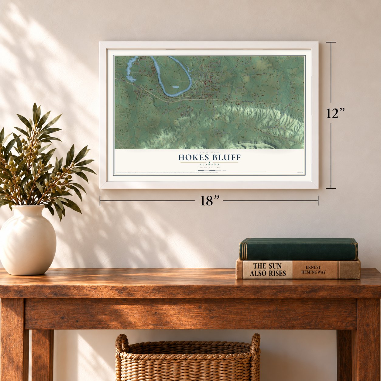
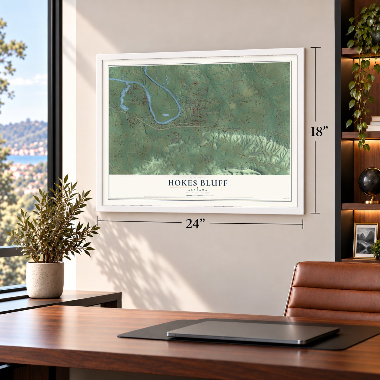
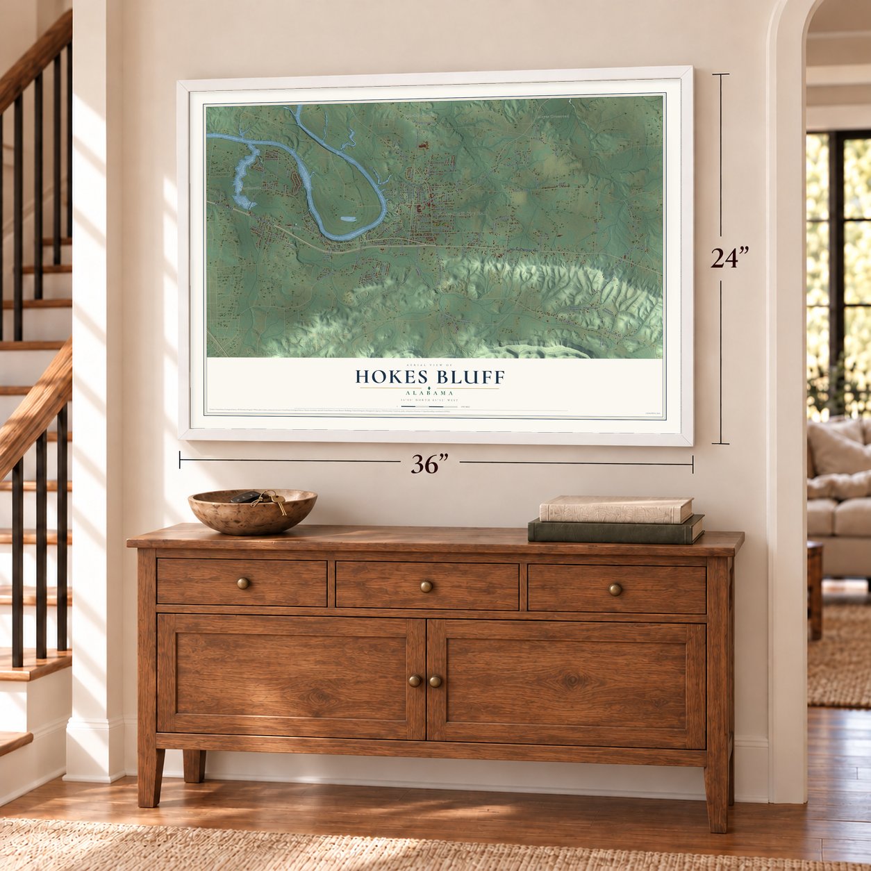
Hokes Bluff, Alabama Map Art
A new map of Hokes Bluff, Alabama, made in 2026 and printed to order on thick archival matte paper.
12" x 18" Archival Matte Print
A Map of Home. A Work of Art.
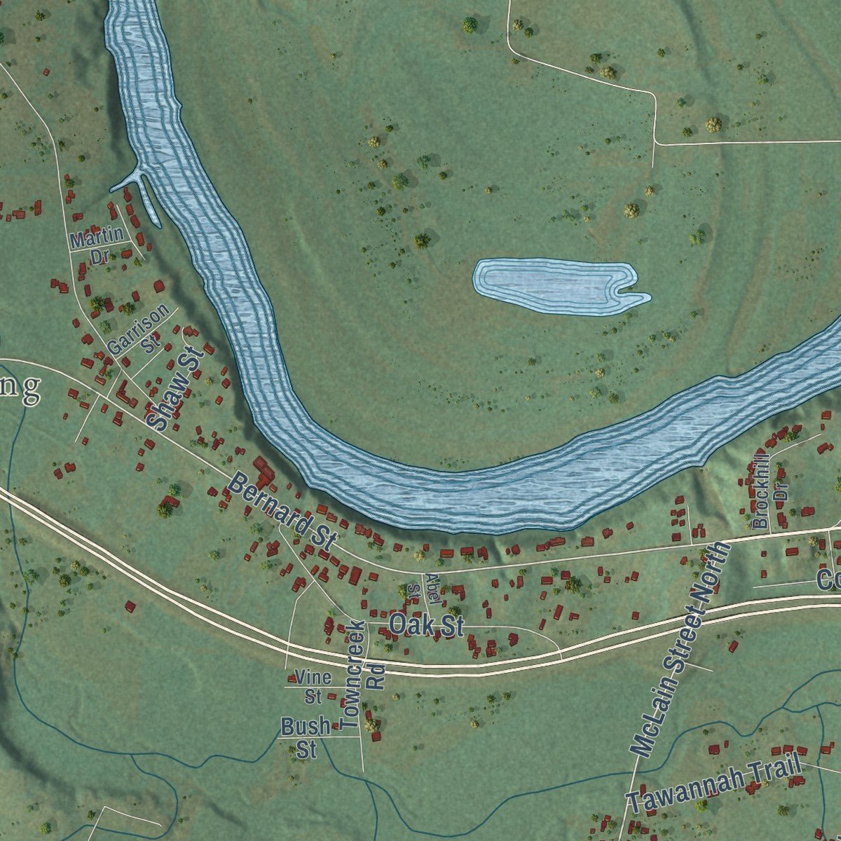
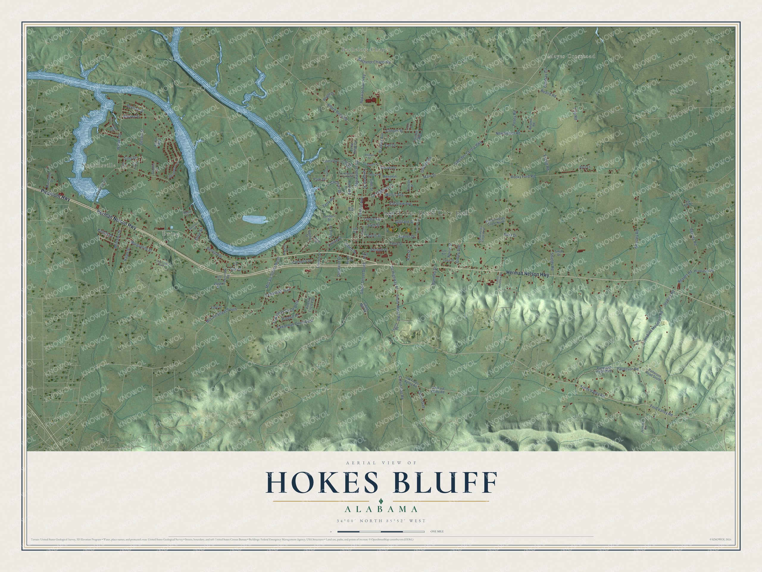
Explore Hokes Bluff, Alabama from a whole new perspective. Created using aerial imagery and detailed geographic data, this map captures Hokes Bluff building by building, with labeled streets, familiar landmarks, and shaded topographical relief that highlights the natural contours of the landscape.
Combining modern data with the timeless character of a vintage atlas, this map is just as interesting up close as it is beautiful on the wall. Whether you grew up in Hokes Bluff, spent memorable years there, or call it home today, this unique map is a great way to celebrate a place that means something to you. Zoom in on the preview to look for your street, and then order a print to put your memories on the wall.
Three ways to hang it
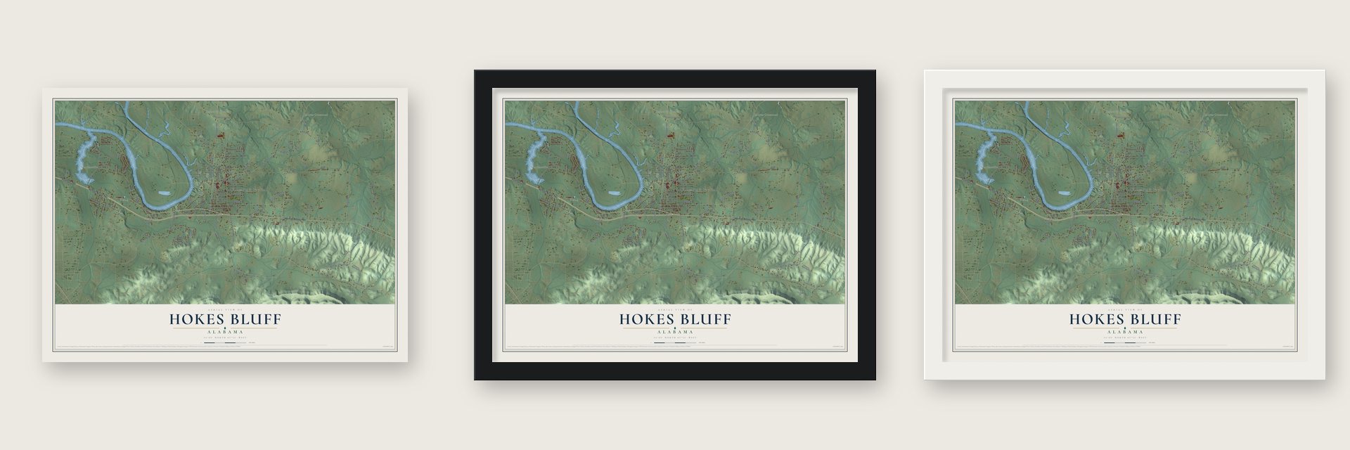
Unframed archival matte, a black wood frame or a white wood frame.
Up close
Geography Worth Displaying
This map was created using accurate cartographic data and authoritative geographic sources, including the U.S. Geological Survey and the Census Bureau. The map brings together terrain, waterways, roads, and building detail. The majority of the streets are labeled, houses are accurately depicted, and the topography is derived from government sources. Combining local data with carefully composed color and shading leads to this beautifully detailed Hokes Bluff artwork for your wall.
Rather than simply showing street outlines, we’ve included as many of the street names as we could reasonably fit on the map while keeping their names legible. Zoom in on the high resolution preview to see exactly what’s on the map. We truly set out to create a statement piece for anyone who loves Hokes Bluff. So whether it’s for you, or a gift for someone you love, we hope this map of Hokes Bluff brings back fond memories.
Read the story behind this map of Hokes Bluff, Alabama from 2026.

About Hokes Bluff, Alabama
Hokes Bluff is a city of 4,446 people in Etowah County, set on a high bluff above the Coosa River. Native people once used the height as a lookout, because it gave a long view up and down the river. This was Cherokee land until 1836, when the Cherokee were forced out. The place then called The Bluff became a gathering point where they were sent downstream to Gunters Landing, now Guntersville, at the start of the march to Oklahoma.
White settlers began arriving in the 1830s. Daniel Hoke, a businessman, opened a trading post, a store and a blacksmith shop near the bluff, and in 1853 his friend W.B. Wynne renamed the settlement Hoke's Bluff in his honor. The apostrophe later fell away. During the Civil War many residents tried to stay neutral, but raiders from both the Union and Confederate sides struck the town again and again, and hard times lasted through Reconstruction.
- Incorporated in 1946Hokes Bluff stayed a small unincorporated community until 1946, when it incorporated with 1,200 people and W.B. Ford became its first mayor. A water system followed in 1949, built around a reservoir holding 75,000 gallons and served by 54 fire hydrants. Gas arrived in 1953 and paved streets in 1956. The city built a city hall complex in 1971, and in 1986 it added a separate building for the police and the volunteer fire department.
- The Paul Revere of the ConfederacyJohn Henry Wisdom rode from Gadsden to Rome, Georgia, to warn the people there that a Union raiding party under Col. Abel D. Streight was on its way. The ride earned him the name Paul Revere of the Confederacy. He spent the later years of his life in Hokes Bluff and lived here until his death in 1909.
- Mail by steamboatFor years Hokes Bluff had poor mail service and got most of its letters by steamboat. The town's post office opened in 1877, and in 1890 a new mail route was set up from Gadsden to Hokes Bluff. The post office closed in 1931.
- The legend of Tawannah SpringsTawannah Springs supplied the town's water. Legend names them for Tawannah, a Native American princess. When her cousin, Princess Noccalula, leapt to her death at Noccalula Falls in Gadsden, Tawannah is said to have died of grief.
Find your street
Names on the Hokes Bluff map
Every name below is printed on this map. Look for your street, your school, the park where you played, or the pond down the road.
Places and landmarks5
- Hokes Bluff City Hall
- Mayes Crossroad
- Noojinsville
- Bachelors Chapel
- Ewing
Streets and roads140
- Herman Nelson Highway
- Piedmont Highway
- Ford Valley Road
- Fords Valley Road
- McLain Street North
- McLain Street South
- Bernard Street
- Colvin Gap Road
- Gadsden Centre Highway
- Jenkins Road
- Jenkins Mountain Road
- Main Street
- Appalachian Highway
- County Highway 71
- Tawannah Circle East
- Marguerite Street
- Alford Bend Road
- Appalachian Road
- Rocky Ford Road
- Caddell Circle
- Posey Road
- Third Street
- County Highway 65
- Reaves Road
- Reeves Road
- Euclid Road
- Beasley Road
- Bradley Avenue
- Bachelor Chapel Road
- Walker Drive
Show all 140 streets
- Desoto Street
- Patterson Road
- South Alford Road
- Sibert Street
- Central Avenue
- Sibert Street South
- Beaird Road
- Oak Street
- Tawannah Circle West
- Tawannah Trail
- Williams Street
- Sunset Drive
- New Bethel Road
- Dogwood Drive
- Langdale Street
- Morris Avenue
- Eastview Avenue
- Second Street
- Shields Road
- Clinton Street
- Reeves Street
- Condray Circle
- Gilliland Street
- Troy Road
- Keener Drive
- Barnes Drive
- Colvin Gap
- Ralph Street
- Cornelia Drive
- Cochran Drive
- Lovorn Street
- Sixth Street
- Ferry Road
- Fourth Street
- Gidley Avenue
- Lynda Avenue
- Gossett Road
- Earl Drive
- Ray Street
- Louise Street
- Rexford Street
- Handley Street
- Pinehill Place
- Sims Drive
- Sims Street
- Shaw Street
- Norris Street
- Park Drive
- Ford Street
- Nora Drive
- Jenkins Circle
- Patterson Road South
- Old Ford Valley Road
- Old Fords Valley Road
- Pinehill Circle East
- Spring Street
- Leonard Drive
- Aaron Way
- Veranda Trce
- Patterson Road West
- Cedar Ridge Circle
- Landers Street
- Bryson Posey Circle North
- Plantation Road
- Brierwood Drive
- Towncreek Road
- Sibert Mill Road
- Plainview Drive
- Faye Drive
- Wenonah Street
- Autumn Road
- Burns Street
- Wright Drive
- Cothran Street
- Sandlin Lane
- Smith Drive
- Cove Circle
- Clinton Way
- Bush Street
- April Lane
- Lily Road
- First Street
- Twanna Road
- Godfrey Road
- Gazaway Street
- Johnson Street
- Hackberry Lane
- Lamar Drive
- Brockhill Drive
- Bryson Posey Circle West
- Turner Mountain Road
- Garrison Street
- Barnes Street
- Vine Street
- Phillips Street
- Sims Lane
- Oak Lake Drive
- Martin Drive
- Fifth Street
- Tanglewood Trail South
- Riverview Drive
- Gray Circle South
- Tanglewood Trail North
- Gilmore Avenue
- East Sims Drive
- Morgan Drive
- Clinton Place
- Lynn Avenue
- Cove Place
- Abel Street
Names are listed as they appear on the printed map. Zoom into the product photos to find them.
The art of mapping a place
How This Map Was Made
Real places. Remarkable detail. Discover the layers that turn geographic data into a map of home.

The view from above
Aerial imagery reveals the character of the land: woodland, open fields, and the patterns of a place.

The shape of the land
Elevation data brings hills, valleys, and subtle changes in the landscape into view.

The details of home
Roads, waterways, and building footprints come together to make the map feel unmistakably local.

Geography becomes art
Considered color, shading, and typography bring the layers together in a map made for your wall.


Process illustrated with Mendon, Massachusetts. Aerial imagery: USDA NAIP. Terrain: USGS 3D Elevation Program. Map details and finished artwork: KNOWOL.
The Details
About This Print
Choose an archival matte print, or a black or white Ayous wood frame. The archival matte print is unframed.
Select your size and finish above to see the matching product image and price.
Materials & Craftsmanship
A contemporary map with the character of a classic atlas, printed on archival matte paper. Optional frames are made from Ayous wood.
Your printed map does not include the watermark shown in the full-map preview.
Shipping & Delivery
Free shipping within the United States. Every print is made to order in the USA.
Buying a gift? Add a note in your cart and we'll include it. We never put prices in the package.
Prints ship within 2 to 3 business days. Allow 7 to 10 days total from ordering for delivery. Timing may vary during holidays or periods of high order volume.
Read our shipping policy.
Returns and damaged prints
Each print is made to order. Change-of-mind refunds are not available after production.
If your print arrives damaged, misprinted or incorrect, contact support@knowol.com within 30 days of receiving it. Include your order number, photos and a description of the issue.
Read our full refund and replacement policy. For questions about your order, email support@knowol.com.
Find your town
Looking for another city?
Find a map of home in our Alabama collection, or any town in the country.
Nearby
Maps of towns near Hokes Bluff
Know someone from one of these towns? Their map makes a great gift.
 Ballplay
, Alabama
From $39.99See the map
 Tidmore Bend
, Alabama
From $39.99See the map
 Glencoe
, Alabama
From $39.99See the map
More maps nearby: Coats Bend, Gadsden, Lookout Mountain, Southside and Reece City.