


Search for another town





Free U.S. delivery 7 to 10 days after you order
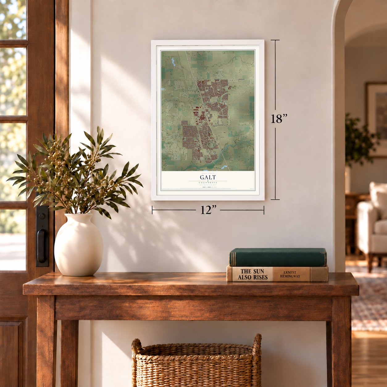
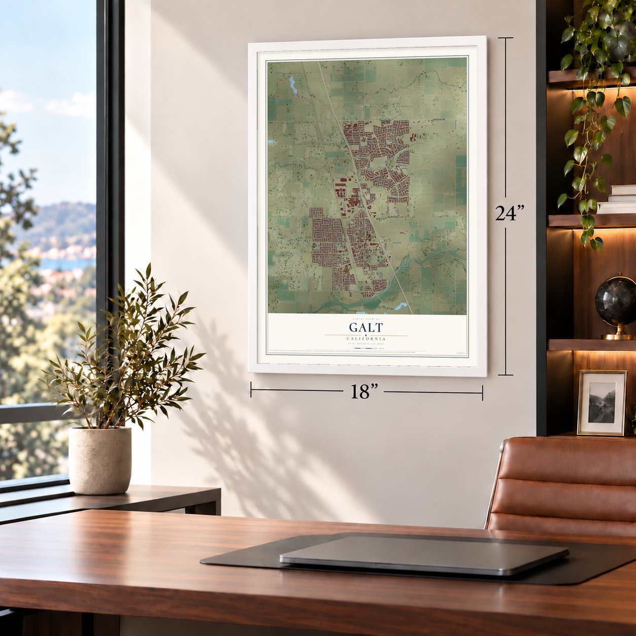
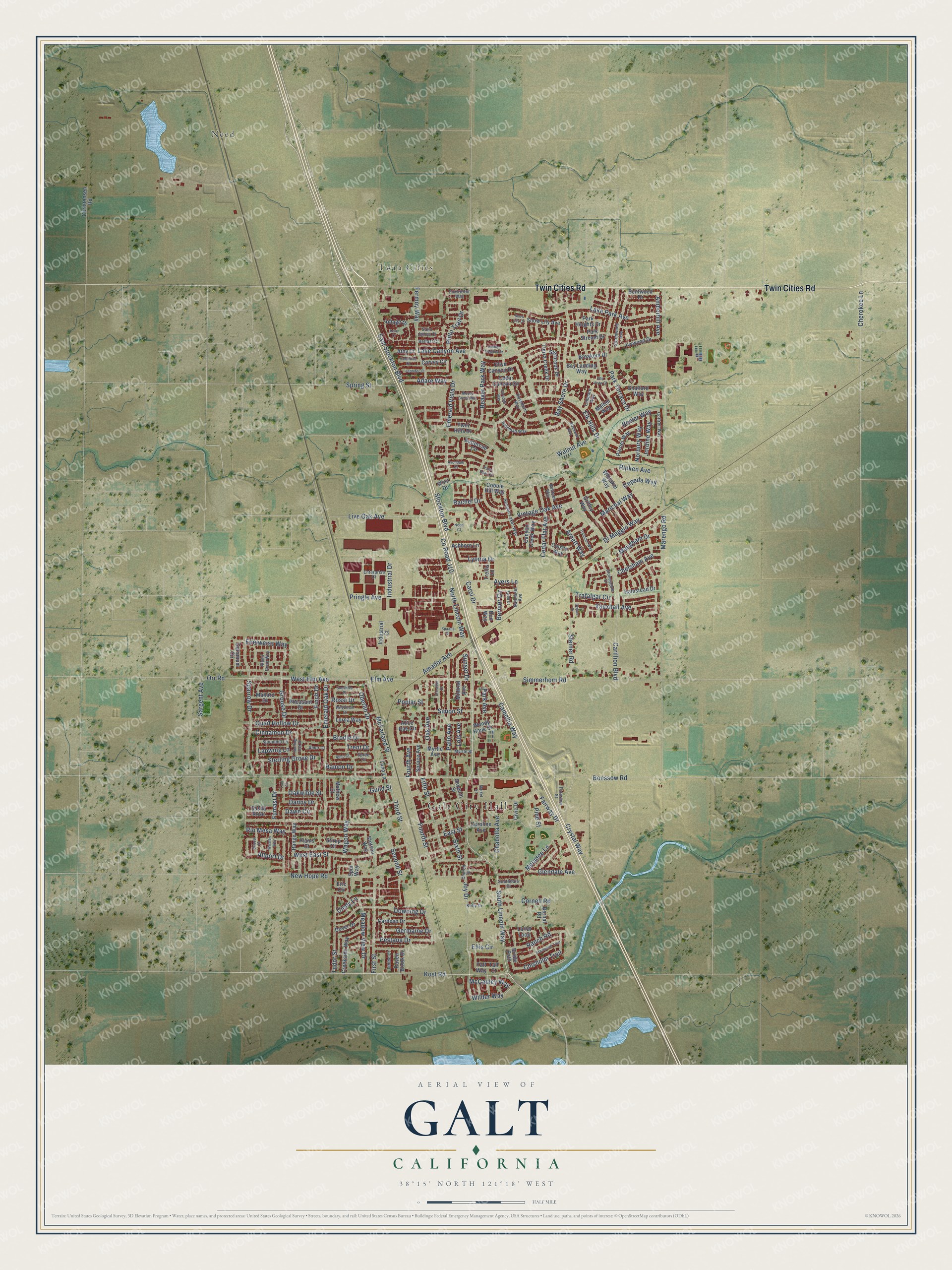
Galt, California Map Art
Building by building, with labeled streets and shaded relief.
12" x 18" Archival Matte Print
A Map of Home. A Work of Art.
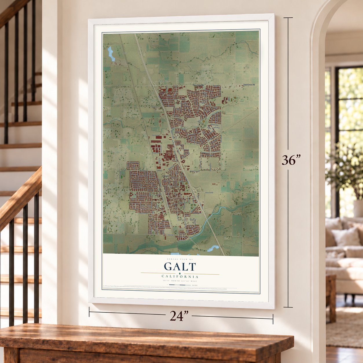
Explore Galt, California from a whole new perspective. Created using aerial imagery and detailed geographic data, this map captures Galt building by building, with labeled streets, familiar landmarks, and shaded topographical relief that highlights the natural contours of the landscape.
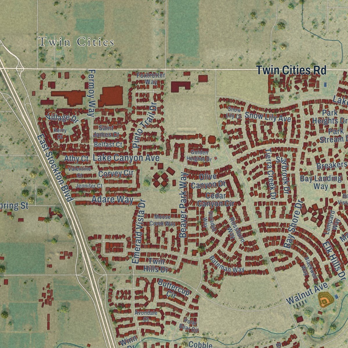
Combining modern data with the timeless character of a vintage atlas, this map is just as interesting up close as it is beautiful on the wall. Whether you grew up in Galt, spent memorable years there, or call it home today, this unique map is a great way to celebrate a place that means something to you. Zoom in on the preview to look for your street, and then order a print to put your memories on the wall.
Three ways to hang it
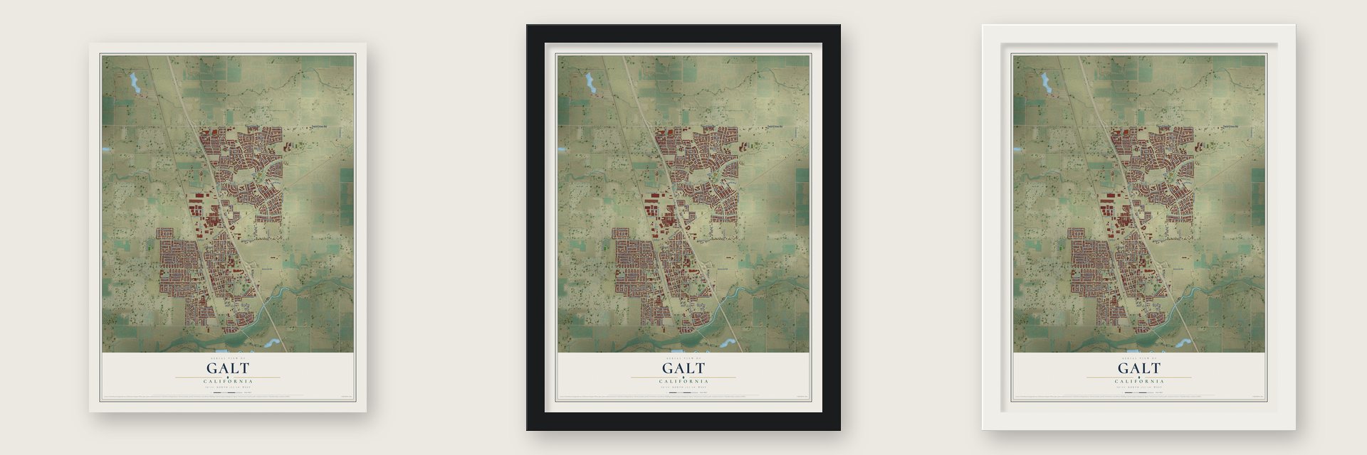
Unframed archival matte, a black wood frame or a white wood frame.
Up close
Geography Worth Displaying
This map was created using accurate cartographic data and authoritative geographic sources, including the U.S. Geological Survey and the Census Bureau. The map brings together terrain, waterways, roads, and building detail. The majority of the streets are labeled, houses are accurately depicted, and the topography is derived from government sources. Combining local data with carefully composed color and shading leads to this beautifully detailed Galt artwork for your wall.
Rather than simply showing street outlines, we’ve included as many of the street names as we could reasonably fit on the map while keeping their names legible. Zoom in on the high resolution preview to see exactly what’s on the map. We truly set out to create a statement piece for anyone who loves Galt. So whether it’s for you, or a gift for someone you love, we hope this map of Galt brings back fond memories.
Read the story behind this map of Galt, California from 2026.

Find your street
Names on the Galt map
Every name below is printed on this map. Look for your street, your school, the park where you played, or the pond down the road.
Places and landmarks3
- Galt City Hall
- Twin Cities
- Need
Streets and roads223
- Twin Cities Road
- Stockton Boulevard
- County Road J10
- North Lincoln Way
- South Lincoln Way
- Kost Road
- East Stockton Boulevard
- Arnett Way
- Emerald Vista Drive
- Adare Way
- Oberlin Drive
- Brodie Drive
- Crystal Way
- Joy Drive
- Ayers Lane
- West East Street
- Wilder Way
- Trafalgar Circle
- Marengo Road
- Carillion Boulevard
- Walnut Avenue
- Elk Hills Drive
- Simmerhorn Road
- Vintage Oak Avenue
- West Elm Avenue
- Industrial Drive
- Lake Park Avenue
- Amador Avenue
- Lake Canyon Avenue
- Sparrow Drive
Show all 223 streets
- Fermoy Way
- Park Terrace Drive
- Boessow Road
- First Street
- Palin Avenue
- Fairway Drive
- Live Oak Avenue
- Bay Shore Drive
- Spring Street
- Camellia Way
- New Hope Road
- Fourth Street
- Elm Avenue
- McFarland Street
- Third Street
- Pringle Avenue
- Cherokee Lane
- Second Street
- Downing Drive
- Oak Avenue
- Emerald Oak Drive
- Di Maggio Way
- Ripken Avenue
- Beaver Park Way
- Vauxhall Avenue
- East Street
- Fifth Street
- Sixth Street
- Meladee Lane
- Quail Hollow Drive
- Tudor Street
- Meadow View Drive
- Edelweiss Way
- Cedar Flat Avenue
- Marichal Way
- Sterling Grove Drive
- Rio Mesa Way
- Cornell Road
- Wagon Way
- Ranch Road
- Steiner Road
- Danny Drive
- Ellis Circle
- Allport Drive
- Pinto Trail Drive
- Chelsham Avenue
- Pestana Drive
- Beeler Way
- Sunset Drive
- Carol Drive
- Chabolla Avenue
- Oakwilde Street
- Chisholm Trail
- Maugham Drive
- Glendale Avenue
- Sargent Avenue
- Lyonia Drive
- Bernier Circle
- Lapwing Lane
- Germaine Drive
- Cinnamon Drive
- Norbury Way
- Simon Street
- Grouse Drive
- Jordine Way
- Cindy Lane
- Fumasi Drive
- Amberhill Avenue
- McCauley Way
- Trent Drive
- Dawn Circle
- Pine Street
- Park Avenue
- Rossi Drive
- Cepeda Way
- Fourth Avenue
- Rachel Drive
- Poplar Street
- Ramon Drive
- Orr Road
- Finch Drive
- Lois Avenue
- Guild Street
- Buttercup Circle
- Taft Way
- Starbrook Drive
- Caroline Avenue
- Village Drive
- Canyon Creek Way
- Hamstead Drive
- Cedar Canyon Circle
- Cobble Hill Way
- Whitaker Way
- Corvey Circle
- Alice Rae Circle
- Creekside Way
- Snow Lily Avenue
- Geranium Circle
- Griffey Way
- Lariat Loop
- Park Heights Drive
- Myrtle Avenue
- Wendy Hope Drive
- Ashboro Lane
- Industrial Court
- Parnel Way
- Tierra Creek Drive
- Colson Way
- Seventh Street
- Park Stream Drive
- Bernal Road
- Olive Canyon Drive
- Range Way
- Christensen Road
- Ivywood Drive
- Pheasant Drive
- Spruce Avenue
- Bay Landing Way
- Dover Drive
- Lorna Way
- Eric Circle
- Mallard Drive
- Shalford Way
- Mildred Avenue
- Cardoso Drive
- Bentwood Drive
- Twin Hills Drive
- Breakers Drive
- Sasha Rose
- Lana Lane
- Raven Brook Drive
- Stetson Way
- Trellis Lane
- Athy Court
- Bridle Path
- Plains Court
- Mathew Court
- Stirup Court
- Spur Way
- Civic Drive
- Malton Way
- Winn Drive
- Ron Way
- Taft Court
- Rossburn Way
- Stoneygate Drive
- Stormwood Avenue
- Summit Lakes Way
- Spoonbill Lane
- Myrtle Street
- Franston Street
- Alpen Rose Way
- Church Street
- Benteen Way
- Southdale Court
- Bateman Way
- Foxtrotter Way
- Cottrell Way
- Enterprise Court
- Nathaniel Avenue
- Lampard Way
- Belfast Court
- Saint James Court
- Janine Court
- Amor Court
- Spree Court
- Kelly Drive
- Trammel Way
- Sunshine Drive
- Polar Bear Circle
- Blackwell Way
- Sterling Oak Drive
- Crescent Drive
- Moose Creek Way
- Wildflower Drive
- Spaans Drive
- Stampede Trail
- Doradell Way
- Golden Heights Drive
- Wristen Way
- Driscol Drive
- Bay Vista Court
- Valentine Court
- Jennifer Court
- Avondale Court
- Market Street
- Snow Lily Court
- Ewell Court
- Almo Court
- Toni Court
- Denier Court
- Kerry Court
- Need Court
Names are listed as they appear on the printed map. Zoom into the product photos to find them.
About Galt, California
From the Historical Marker Database: "The original wooden water tower was built here in 1872. This water tower has stood as a beacon since 1936, connecting yesterday, today and tomorrow."
Keep exploring California
Galt is one of 1,990 California towns we've mapped. Every dot on the map is a print of its own.
The search covers every state, California first.
Near Galt
Order 2 or more town maps and save 10%. Shown in the size and finish you picked above, so they hang as a set.
- Herald 12" x 18" / Archival Matte Print $39.99
- Collierville 12" x 18" / Archival Matte Print $39.99
- Acampo 12" x 18" / Archival Matte Print $39.99
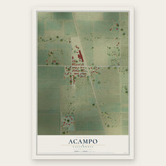
More maps nearby: Woodbridge, Thornton, Clay, Dogtown and Lodi.
The art of mapping a place
How This Map Was Made
Real places. Remarkable detail. Discover the layers that turn geographic data into a map of home.

The view from above
Aerial imagery reveals the character of the land: woodland, open fields, and the patterns of a place.

The shape of the land
Elevation data brings hills, valleys, and subtle changes in the landscape into view.

The details of home
Roads, waterways, and building footprints come together to make the map feel unmistakably local.

Geography becomes art
Considered color, shading, and typography bring the layers together in a map made for your wall.


Process illustrated with Mendon, Massachusetts. Aerial imagery: USDA NAIP. Terrain: USGS 3D Elevation Program. Map details and finished artwork: KNOWOL.
The Details
About This Print
Choose an archival matte print, or a black or white Ayous wood frame. The archival matte print is unframed.
Select your size and finish above to see the matching product image and price.
Materials & Craftsmanship
A contemporary map with the character of a classic atlas, printed on archival matte paper. Optional frames are made from Ayous wood.
Your printed map does not include the watermark shown in the full-map preview.
Shipping & Delivery
Free shipping within the United States. Every print is made to order in the USA.
Buying a gift? Add a note in your cart and we'll include it. We never put prices in the package.
Prints ship within 2 to 3 business days. Allow 7 to 10 days total from ordering for delivery. Timing may vary during holidays or periods of high order volume.
Read our shipping policy.
Returns and damaged prints
Each print is made to order. Change-of-mind refunds are not available after production.
If your print arrives damaged, misprinted or incorrect, contact support@knowol.com within 30 days of receiving it. Include your order number, photos and a description of the issue.
Read our full refund and replacement policy. For questions about your order, email support@knowol.com.