
Search for another town




Free U.S. delivery 7 to 10 days after you order
Lodi, California Map Art
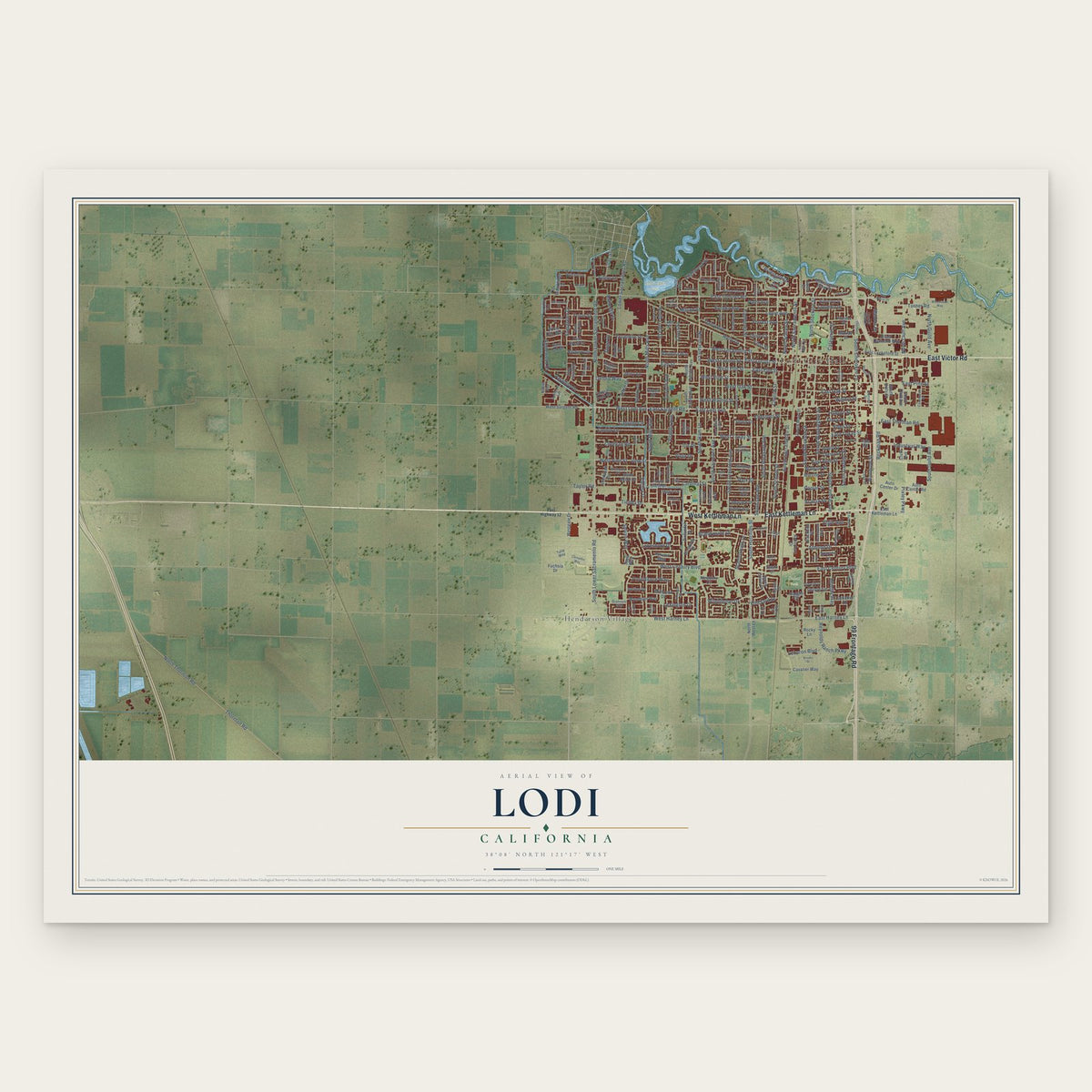
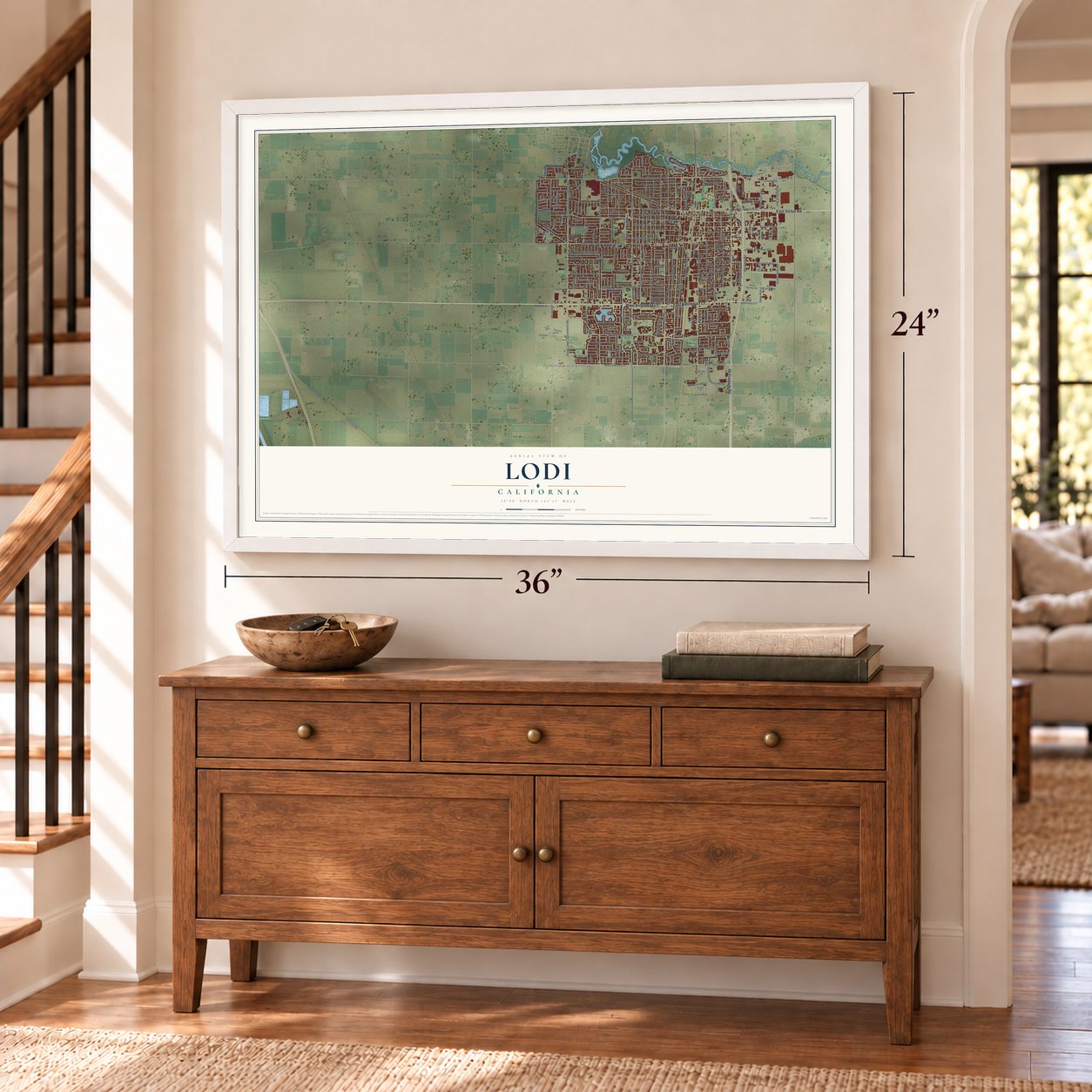
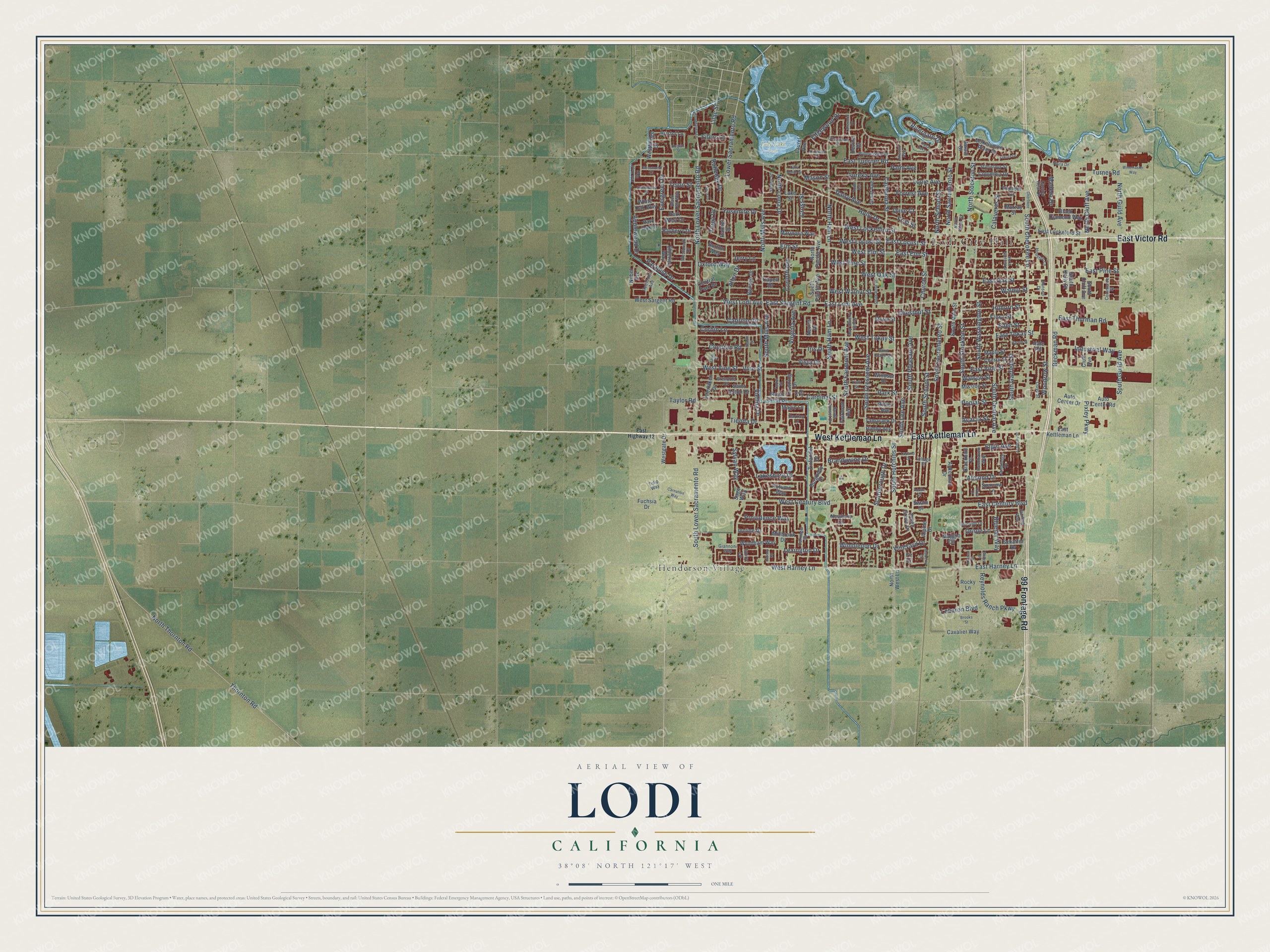
A new map of Lodi, California, made in 2026 and printed to order on thick archival matte paper.
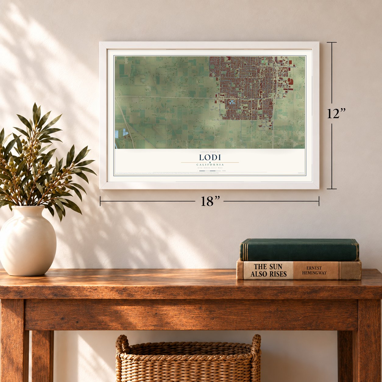
12" x 18" Archival Matte Print
A Map of Home. A Work of Art.
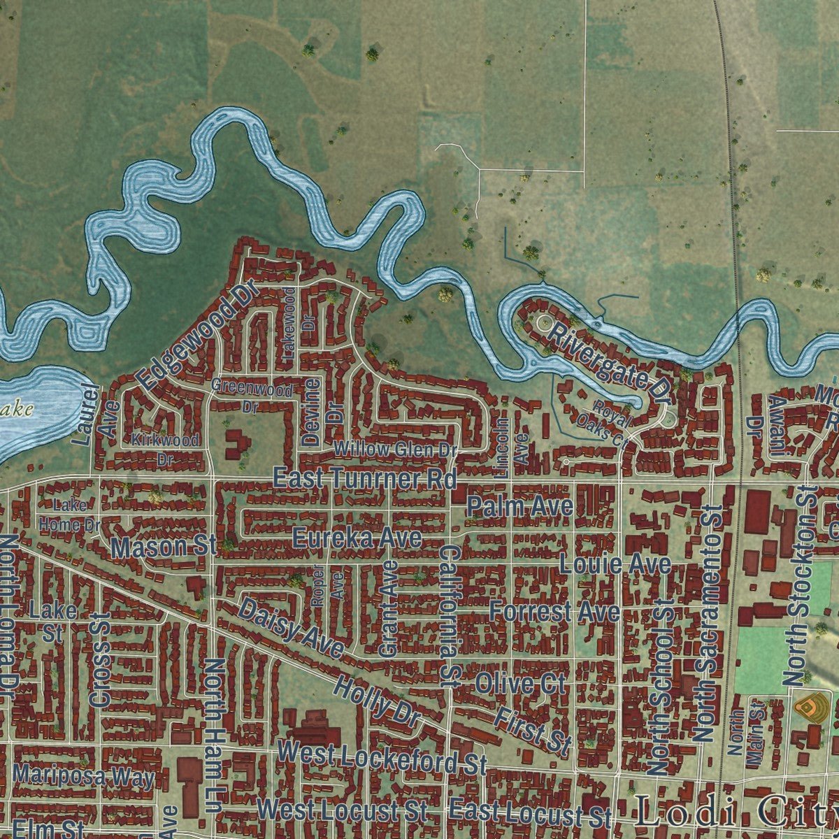
Explore Lodi, California from a whole new perspective. Created using aerial imagery and detailed geographic data, this map captures Lodi building by building, with labeled streets, familiar landmarks, and shaded topographical relief that highlights the natural contours of the landscape.
Combining modern data with the timeless character of a vintage atlas, this map is just as interesting up close as it is beautiful on the wall. Whether you grew up in Lodi, spent memorable years there, or call it home today, this unique map is a great way to celebrate a place that means something to you. Zoom in on the preview to look for your street, and then order a print to put your memories on the wall.
Three ways to hang it
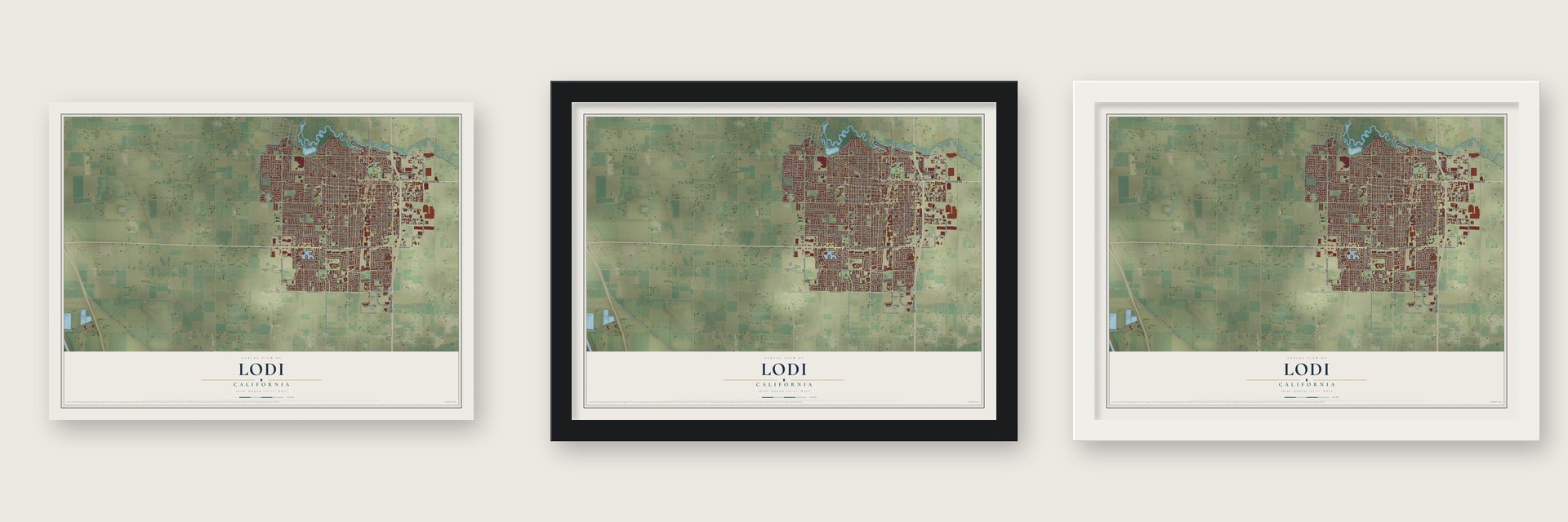
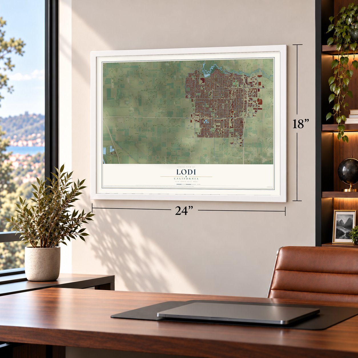
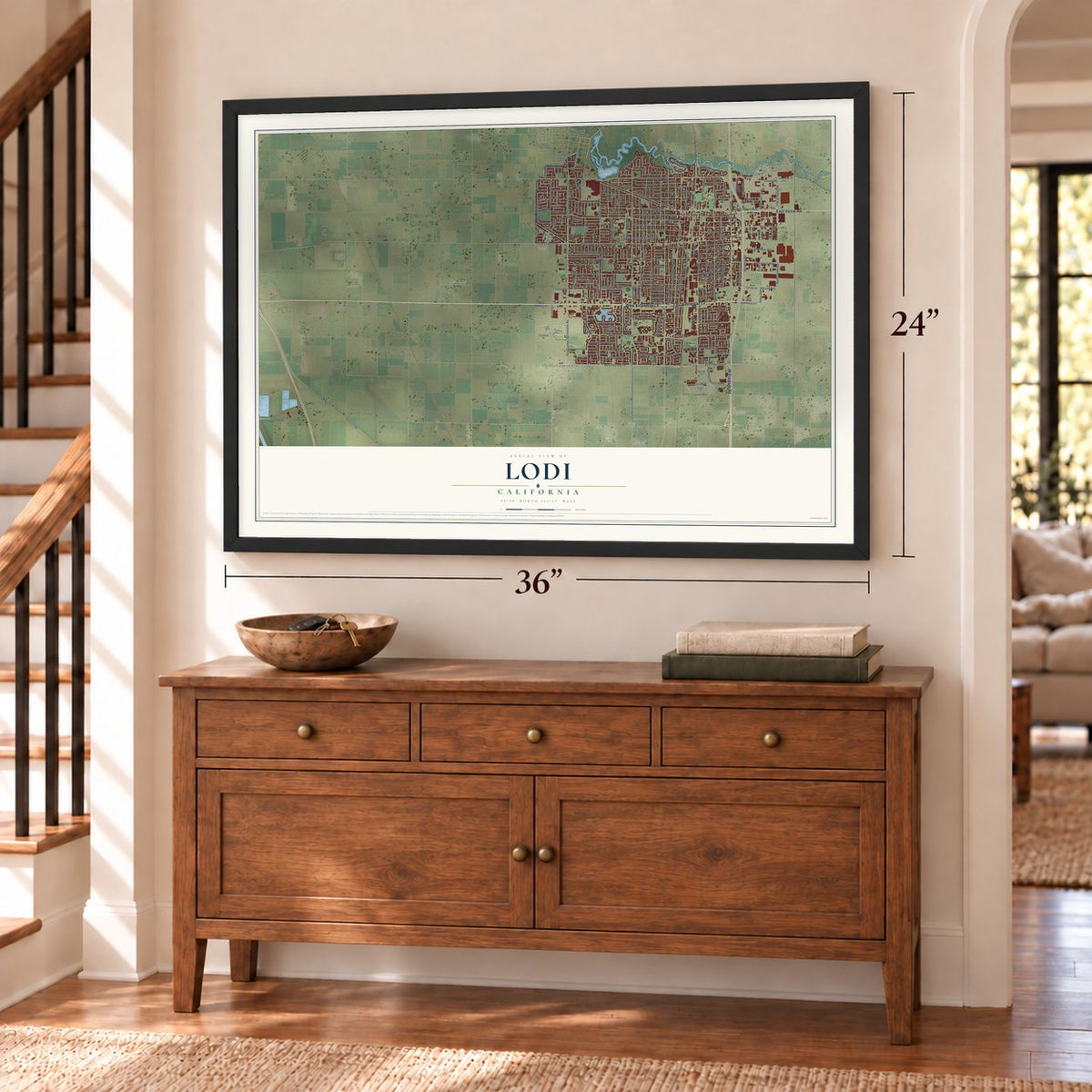
Unframed archival matte, a black wood frame or a white wood frame.
Up close
Geography Worth Displaying
This map was created using accurate cartographic data and authoritative geographic sources, including the U.S. Geological Survey and the Census Bureau. The map brings together terrain, waterways, roads, and building detail. The majority of the streets are labeled, houses are accurately depicted, and the topography is derived from government sources. Combining local data with carefully composed color and shading leads to this beautifully detailed Lodi artwork for your wall.
Rather than simply showing street outlines, we’ve included as many of the street names as we could reasonably fit on the map while keeping their names legible. Zoom in on the high resolution preview to see exactly what’s on the map. We truly set out to create a statement piece for anyone who loves Lodi. So whether it’s for you, or a gift for someone you love, we hope this map of Lodi brings back fond memories.
Read the story behind this map of Lodi, California from 2026.

About Lodi, California
Lodi is a city of 66,348 people in San Joaquin County, in the middle of California's Central Valley. Local families chose a spot near today's Cherokee Lane and Turner Road for a school in 1859. In 1869 the Central Pacific Railroad was planning a new route, so a group of settlers, John Magley, Ezekiel Lawrence, Reuben Wardrobe and A. C. Ayers, promised it 160 acres for a town if it would build a station there. The railroad kept a 12-acre reserve in the center, and surveyors laid out streets from Washington to Church and from Locust to Walnut.
Settlers moved in from Woodbridge, Liberty City and Galt, among them the town founders John M. Burt and Dan Crist. The town was first called Mokelumne, or Mokelumne Station, after the nearby river. Other towns nearby had similar names, so an assembly bill in Sacramento gave it a new one, most likely borrowed from a Lodi in Illinois where early families had lived. Voters made Lodi a city in 1906 by a margin of 2 to 1, and an opera house, a fire department, a Carnegie library and a hospital went up between 1905 and 1915.
- Tokay Capital of the WorldThe Flame Tokay grape came to California from Algeria in 1857, and Morse and his son Edmund planted Lodi's first Tokay vines on their ranch in 1892. The grape did well in the sandy loam east of the Suisun Pass. From the early 20th century until the early 1980s, Lodi called itself the Tokay Capital of the World, and in 2015 Wine Enthusiast magazine named it Wine Region of the Year.
- A&W Root Beer in 1919Roy W. Allen brewed his first root beer in 1919 and sold it from a hot dog cart at a parade in Lodi. A plaque now marks the spot. His business grew into A&W Restaurants, one of the first fast food chains to sell franchises.
- A sawmill on the MokelumneIn 1877 the Lodi Land and Lumber Company put up a sawmill beside the Mokelumne River. Each rainy season, logs were floated down from the Sierra, and the steam-powered mill could cut 40,000 board feet a day.
- A song and a movie sceneJohn Fogerty named the Creedence Clearwater Revival song "Lodi" after the city, though he admits he never went there and simply liked the sound of the name. The opening scene of Cool Hand Luke, with Paul Newman cutting the heads off parking meters, was filmed in Lodi.
Find your street
Names on the Lodi map
Every name below is printed on this map. Look for your street, your school, the park where you played, or the pond down the road.
Places and landmarks4
- Lodi City Hall
- Lodi Lake Park
- Salas Park
- Henderson Village
Streets and roads258
- East Kettleman Lane
- West Kettleman Lane
- East Victor Road
- 99 Frontage Road
- South Cherokee Lane
- South Hutchins Street
- Rivergate Drive
- Pixley Parkway
- Church Street
- West Harney Lane
- North Lower Sacramento Road
- South Mills Avenue
- North Sacramento Street
- Chestnut Street
- California Street
- Edgewood Drive
- Lakeshore Drive
- South Guild Avenue
- Virginia Avenue
- East Sargent Road
- West Lodi Avenue
- East Harney Lane
- East Locust Street
- North Cluff Avenue
- South Central Avenue
- West Locust Street
- East Oak Street
- Woodrow Street
- West Pine Street
- East Lodi Avenue
Show all 258 streets
- South Stockton Street
- East Tunrner Road
- South Ham Lane
- Beckman Road
- Elm Street
- Vine Street
- West Tokay Street
- South Lower Sacramento Road
- South Crescent Avenue
- West Lockeford Street
- Turner Road
- South Fairmont Avenue
- North Ham Lane
- West Elm Street
- Holly Drive
- South Sacramento Street
- Lower Sacramento Road
- South School Street
- West Century Boulevard
- North Stockton Street
- North Mills Avenue
- East Pine Street
- North Thornton Road
- Thornton Road
- South Washington Street
- West Walnut Street
- East Tokay Street
- South Lee Avenue
- South Pleasant Avenue
- East Vine Street
- West Vine Street
- East Elm Street
- Tienda Drive
- Daisy Avenue
- South Garfield Street
- West Oak Street
- Louie Avenue
- Park Street
- North Guild Avenue
- Wimbledon Drive
- Evergreen Drive
- Allen Drive
- Cardinal Street
- Oxford Way
- Eureka Avenue
- Reynolds Ranch Parkway
- North Loma Drive
- Applewood Drive
- Corbin Lane
- Rutledge Drive
- North School Street
- Walnut Street
- Eden Street
- Scarborough Drive
- Brandywine Drive
- Forrest Avenue
- Palm Avenue
- Sylvan Way
- Almond Drive
- Cochran Road
- Eilers Lane
- Poplar Street
- Cabrillo Circle
- East Century Boulevard
- Yosemite Drive
- Lilac Street
- Hilborn Street
- Calaveras Street
- Olive Court
- Industrial Way
- Flora Street
- Paradise Drive
- Cross Street
- East Thurman Road
- Lexington Drive
- Tejon Street
- Elgin Avenue
- Corinth Avenue
- Providence Way
- Lebaron Boulevard
- Bluejay Way
- First Street
- Vienna Drive
- Mason Street
- Madera Drive
- Acacia Street
- Watson Street
- Vineyard Drive
- Taylor Road
- Iris Drive
- Oriole Lane
- Vista Drive
- Jerry Lane
- Tioga Drive
- Pioneer Drive
- Auto Center Road
- Interlaken Drive
- Hale Road
- East Lockeford Street
- North Pacific Avenue
- Tamarack Drive
- Central Park Drive
- South Main Street
- Maple Street
- Westgate Drive
- Mariposa Way
- South Pacific Avenue
- Cherry Street
- Lake Street
- North West Lane
- Maggio Circle
- Mission Street
- Blackbird Place
- Windsor Drive
- Newbury Circle
- West Sargent Road
- Burgundy Drive
- Grant Avenue
- Black Diamond Way
- Wyndham Way
- Rocky Lane
- Auto Center Drive
- Mokelumne River Drive
- Saint Anton Drive
- Capell Drive
- Columbia Drive
- Park West Drive
- Aspen Grove Drive
- Bayberry Drive
- Zinfandel Drive
- Elderica Way
- Millbrook Drive
- Cavalier Way
- Westbridge Drive
- Laurel Avenue
- Benson Drive
- South Cluff Avenue
- South Kelly Street
- Murray Street
- Rimby Avenue
- Devine Drive
- Ribier Avenue
- Alpine Drive
- Rainier Drive
- Royal Crest Drive
- White Oak Way
- Park Oak Drive
- Autumn Way
- Downing Drive
- Ackerman Drive
- Schaffer Drive
- Bristol Lane
- Incline Drive
- Fairmont Avenue
- Fuchsia Drive
- Magic Lane
- Sturla Street
- Sparrow Lane
- Nobel Avenue
- Nevins Drive
- Burton Way
- Ivory Lane
- Cluff Avenue
- Awani Drive
- Swain Drive
- Sage Way
- Fir Drive
- Grenoble Drive
- Heirloom Avenue
- South Orange Avenue
- South Sunset Drive
- Camino Real Drive
- Lincoln Avenue
- North Main Street
- Rio Vista Drive
- Cambridge Place
- Lloyd Street
- York Street
- Willow Glen Drive
- Houston Lane
- Black Oak Way
- Stanislaus Street
- Commerce Street
- Carriage Drive
- Fawnhaven Way
- Starling Way
- Westbrook Drive
- Idlewild Drive
- Giannoni Way
- Tudor Street
- Saint Claire Drive
- James Street
- Hansen Drive
- Barkley Lane
- Village Street
- Tulip Way
- Ash Drive
- East Highway 12
- Cherokee Lane
- Woodhaven Lane
- Carnation Way
- South Rose Street
- Harold Street
- Lake Home Drive
- Lakewood Drive
- Roper Avenue
- Mulberry Circle
- North Garfield Street
- Greenwood Drive
- Sweetwood Drive
- Yokuts Drive
- Winemaster Way
- Academy Street
- Oak Knoll Way
- Mosswood Drive
- Kirkwood Drive
- Melby Drive
- Layland Drive
- Tahoe Drive
- Brooks Street
- Royal Oaks Court
- Alder Place
- Kirsten Drive
- Colony Drive
- Regent Street
- Adobe Court
- Peach Street
- Dove Court
Names are listed as they appear on the printed map. Zoom into the product photos to find them.
The art of mapping a place
How This Map Was Made
Real places. Remarkable detail. Discover the layers that turn geographic data into a map of home.

The view from above
Aerial imagery reveals the character of the land: woodland, open fields, and the patterns of a place.

The shape of the land
Elevation data brings hills, valleys, and subtle changes in the landscape into view.

The details of home
Roads, waterways, and building footprints come together to make the map feel unmistakably local.

Geography becomes art
Considered color, shading, and typography bring the layers together in a map made for your wall.


Process illustrated with Mendon, Massachusetts. Aerial imagery: USDA NAIP. Terrain: USGS 3D Elevation Program. Map details and finished artwork: KNOWOL.
The Details
About This Print
Choose an archival matte print, or a black or white Ayous wood frame. The archival matte print is unframed.
Select your size and finish above to see the matching product image and price.
Materials & Craftsmanship
A contemporary map with the character of a classic atlas, printed on archival matte paper. Optional frames are made from Ayous wood.
Your printed map does not include the watermark shown in the full-map preview.
Shipping & Delivery
Free shipping within the United States. Every print is made to order in the USA.
Buying a gift? Add a note in your cart and we'll include it. We never put prices in the package.
Prints ship within 2 to 3 business days. Allow 7 to 10 days total from ordering for delivery. Timing may vary during holidays or periods of high order volume.
Read our shipping policy.
Returns and damaged prints
Each print is made to order. Change-of-mind refunds are not available after production.
If your print arrives damaged, misprinted or incorrect, contact support@knowol.com within 30 days of receiving it. Include your order number, photos and a description of the issue.
Read our full refund and replacement policy. For questions about your order, email support@knowol.com.
Find your town
Looking for another city?
Find a map of home in our California collection, or any town in the country.
Nearby
Maps of towns near Lodi
Know someone from one of these towns? Their map makes a great gift.
 Woodbridge
, California
From $39.99See the map
 Acampo
, California
From $39.99See the map
 Victor
, California
From $39.99See the map
More maps nearby: Morada, Collierville, Lockeford, Waterloo and Lincoln Village.