
Search for another town

Free U.S. delivery 7 to 10 days after you order
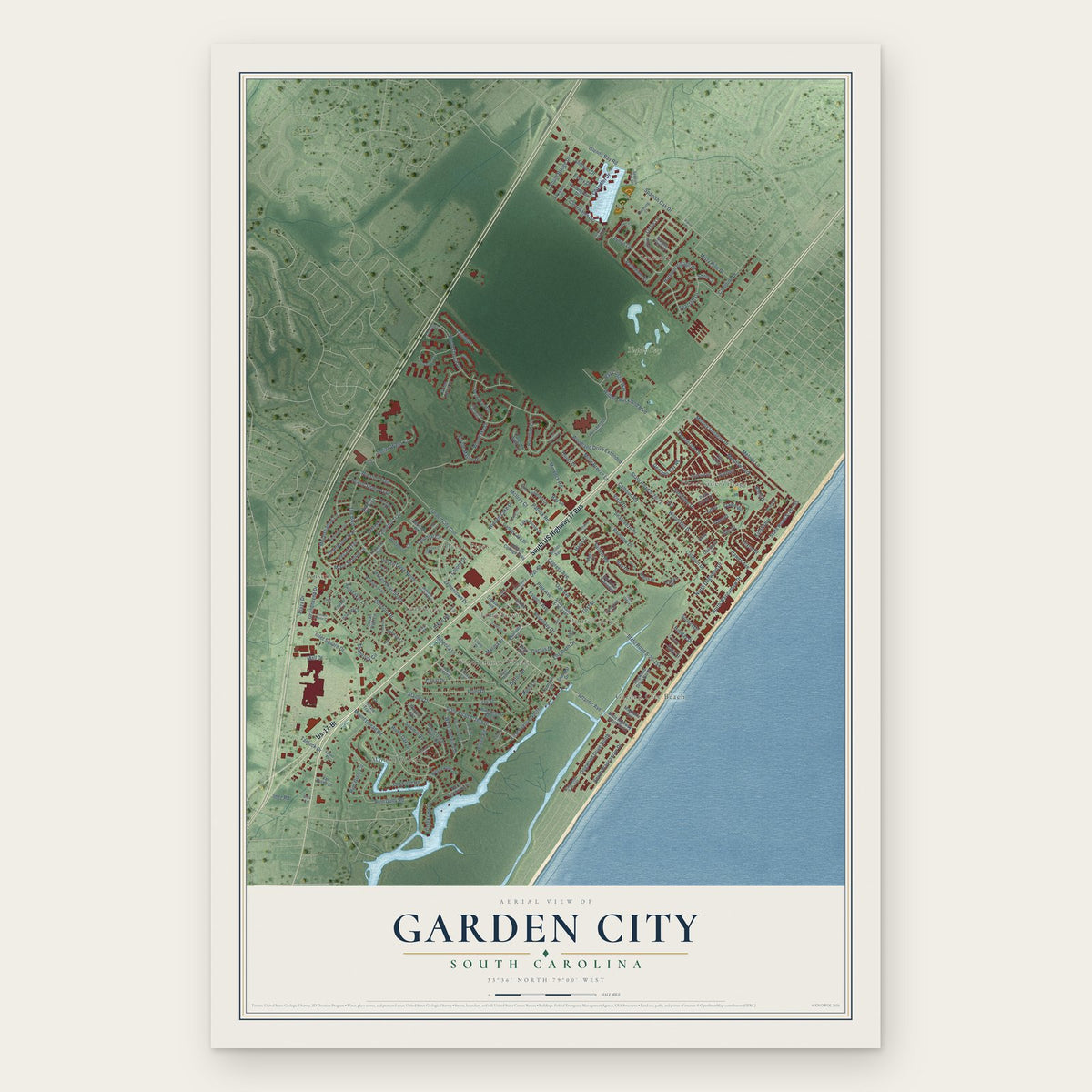
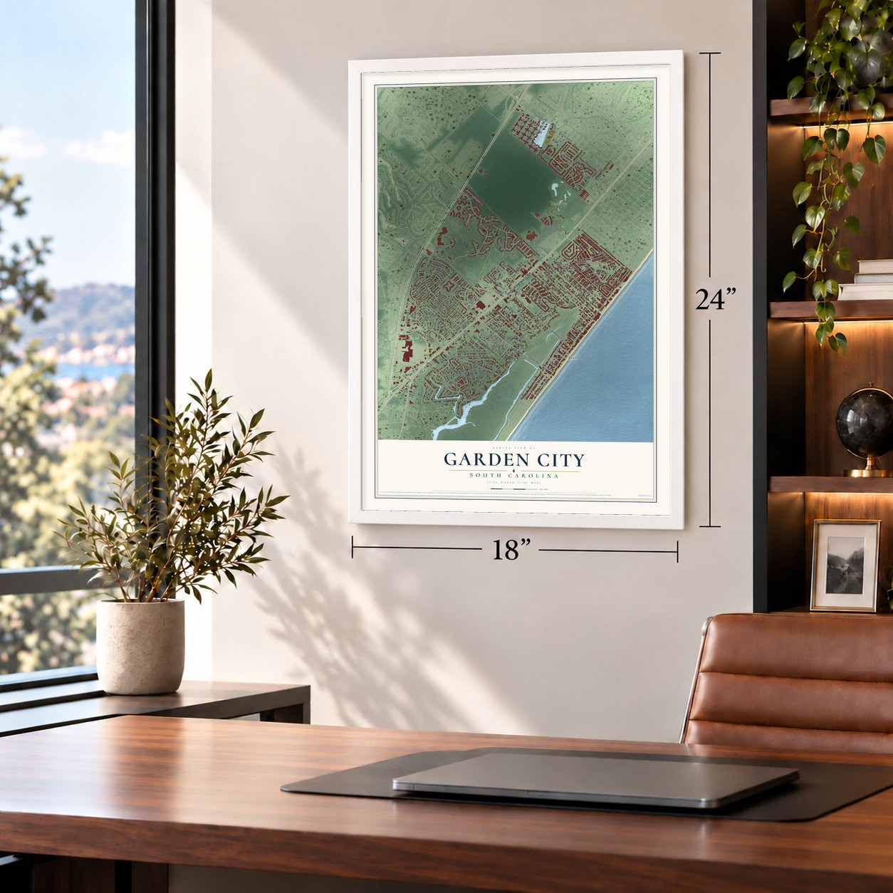
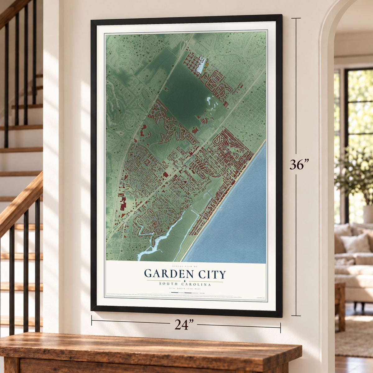
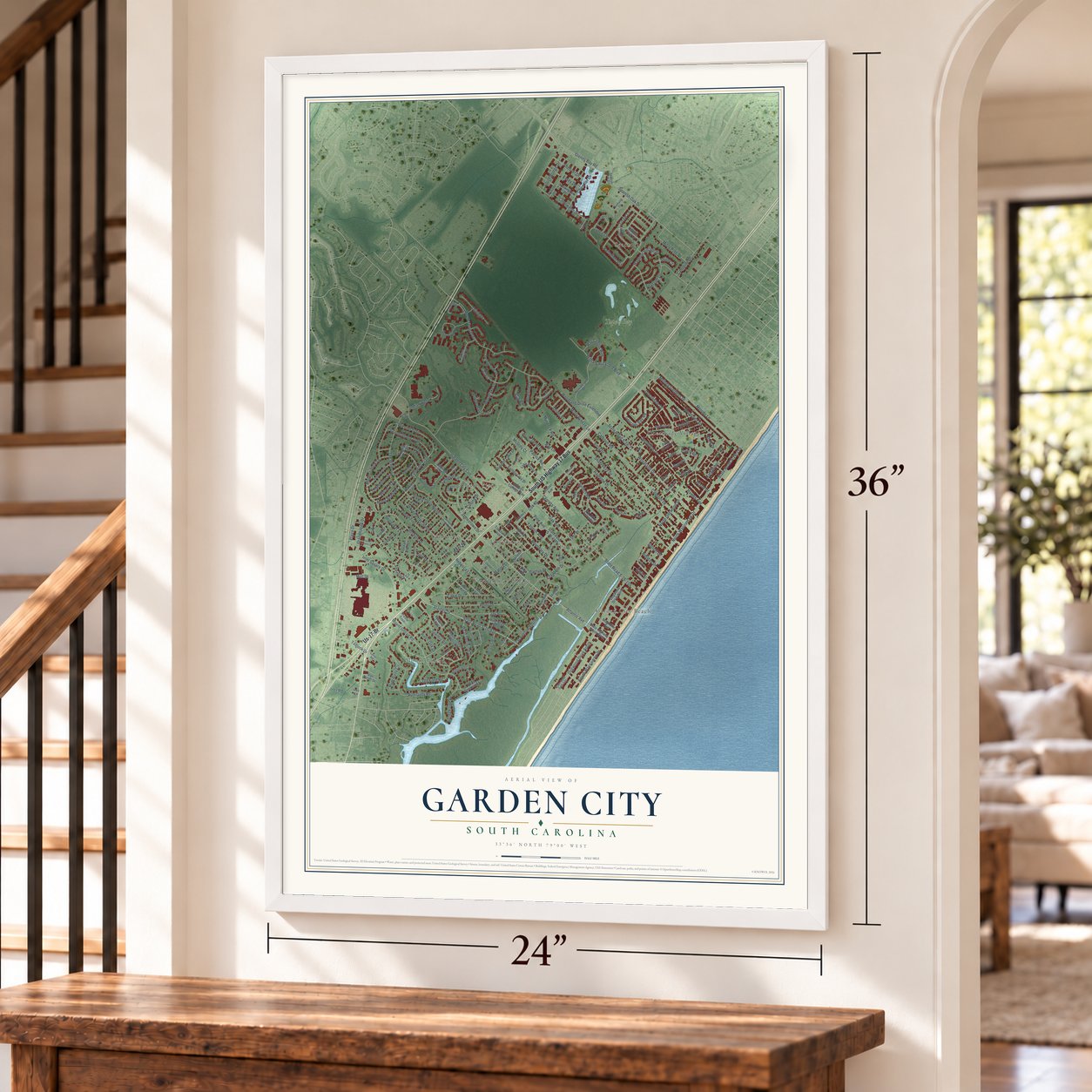
Garden City, South Carolina Map Art
Building by building, with labeled streets and shaded relief.
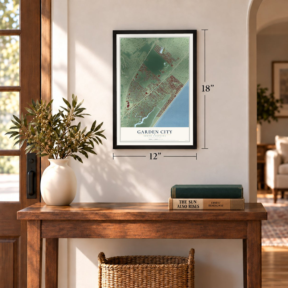
12" x 18" Archival Matte Print
A Map of Home. A Work of Art.
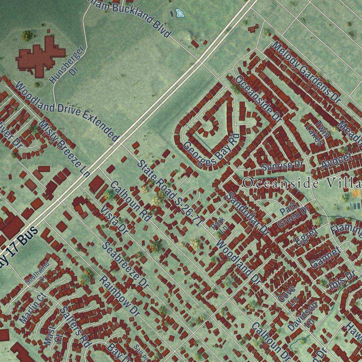
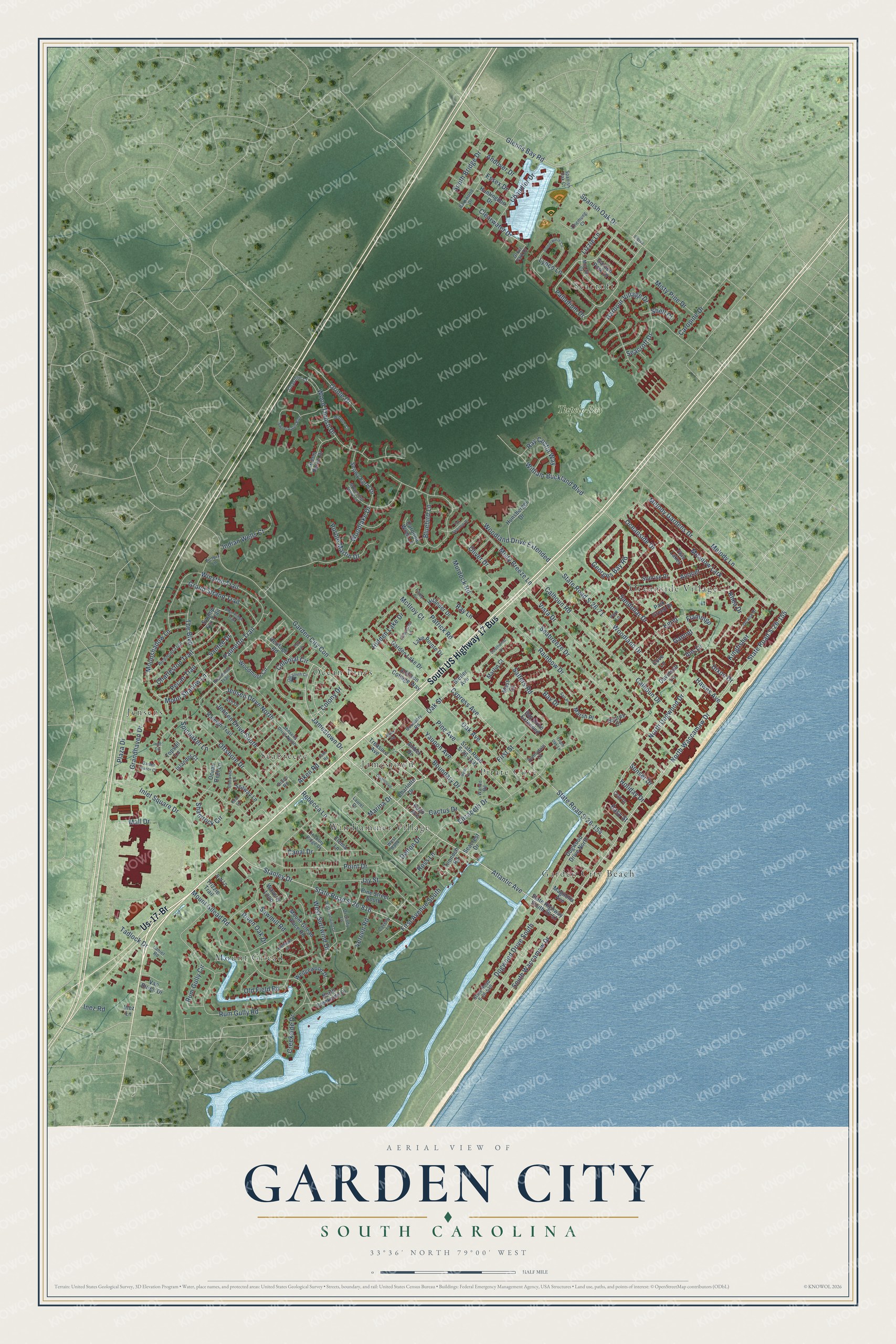
Explore Garden City, South Carolina from a whole new perspective. Created using aerial imagery and detailed geographic data, this map captures Garden City building by building, with labeled streets, familiar landmarks, and shaded topographical relief that highlights the natural contours of the landscape.
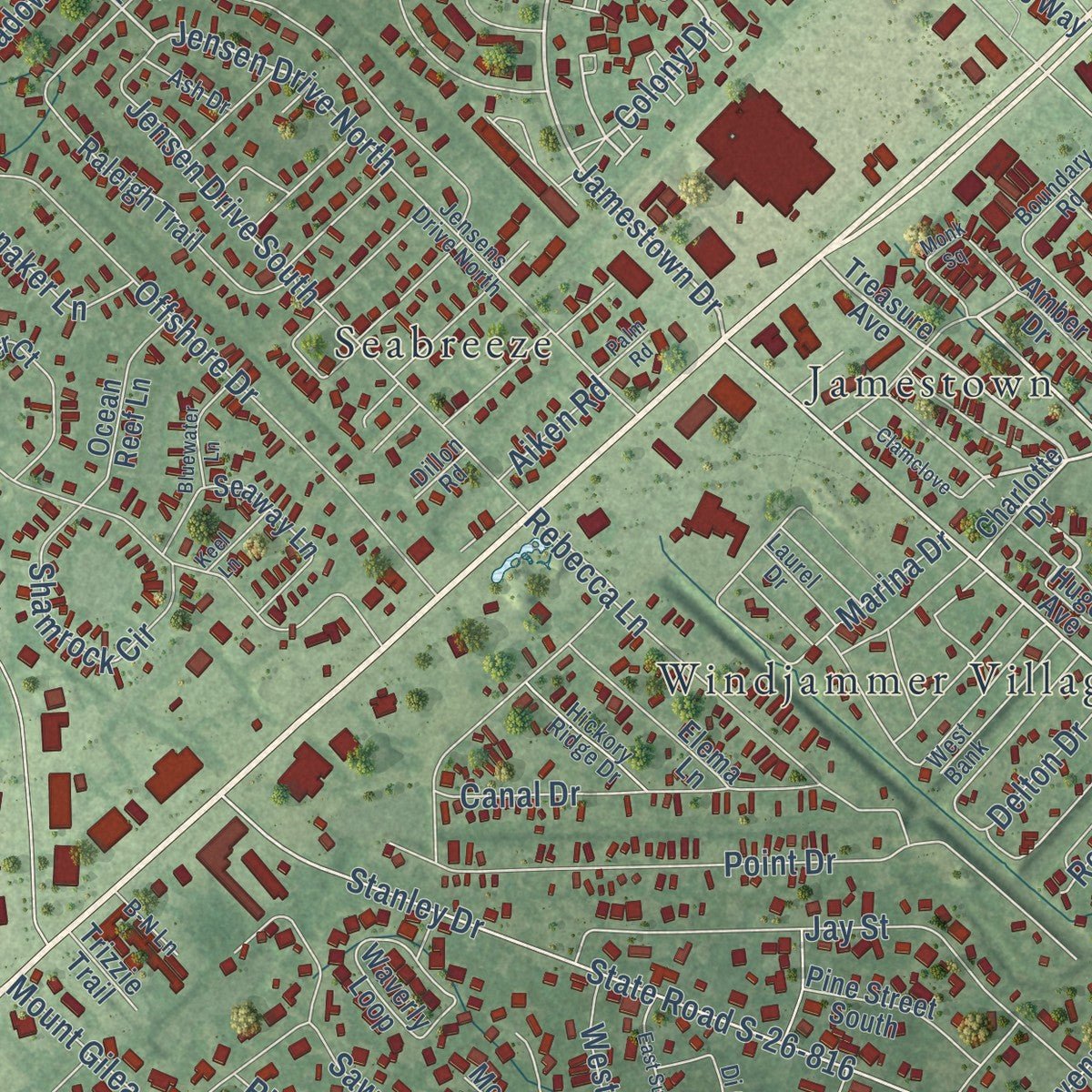
Combining modern data with the timeless character of a vintage atlas, this map is just as interesting up close as it is beautiful on the wall. Whether you grew up in Garden City, spent memorable years there, or call it home today, this unique map is a great way to celebrate a place that means something to you. Zoom in on the preview to look for your street, and then order a print to put your memories on the wall.
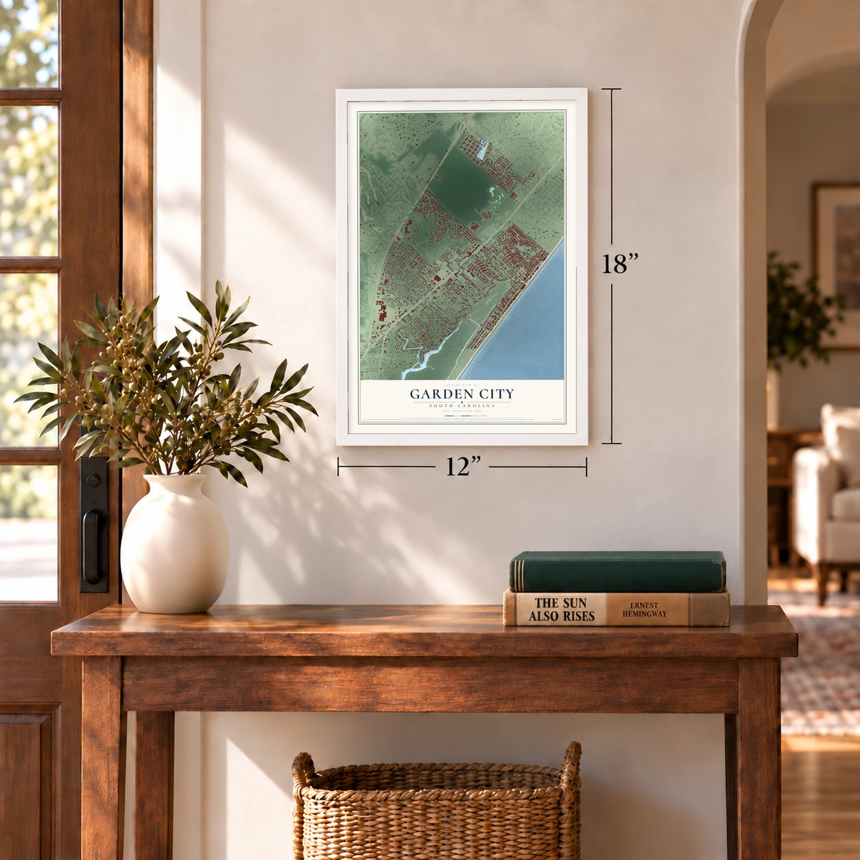
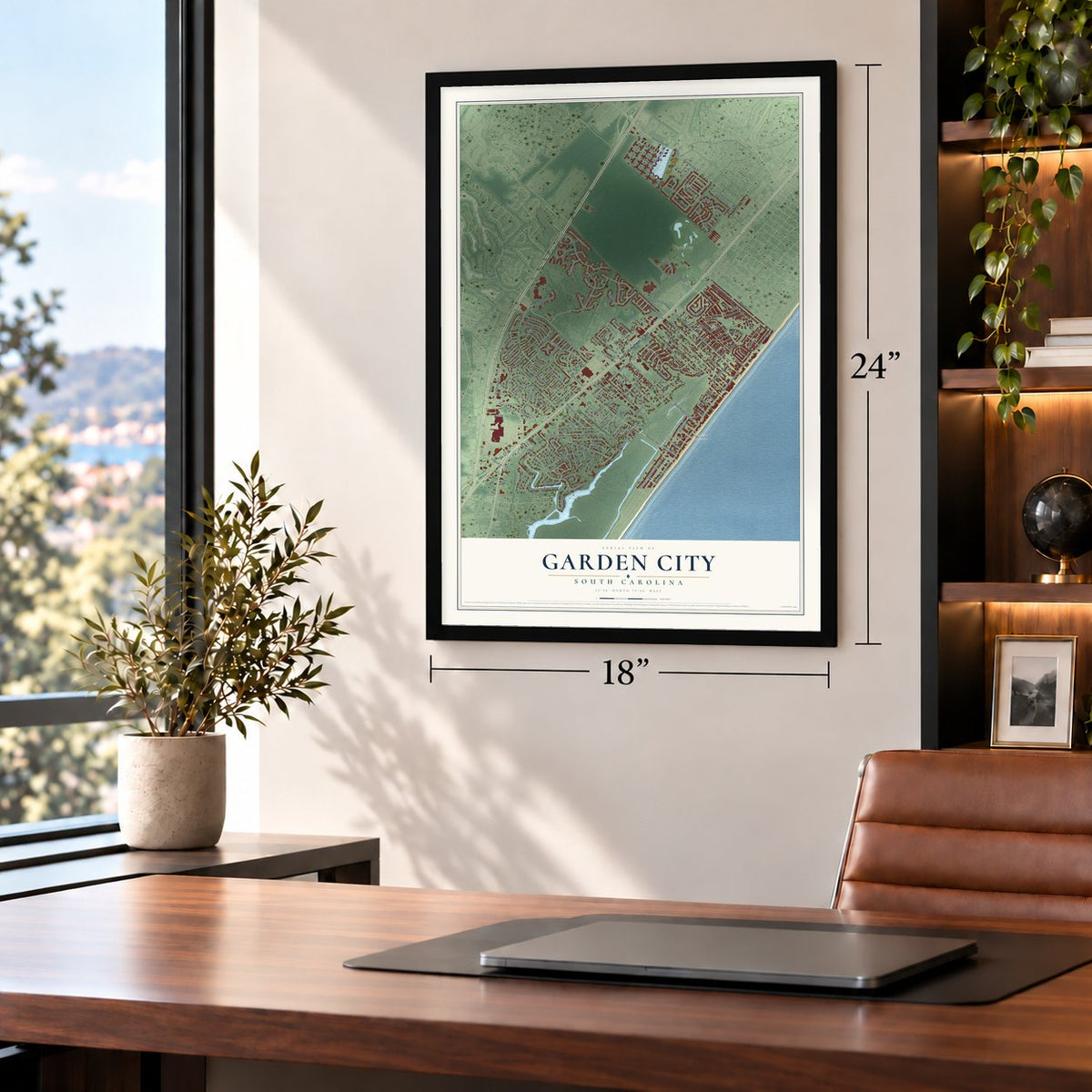
Three ways to hang it
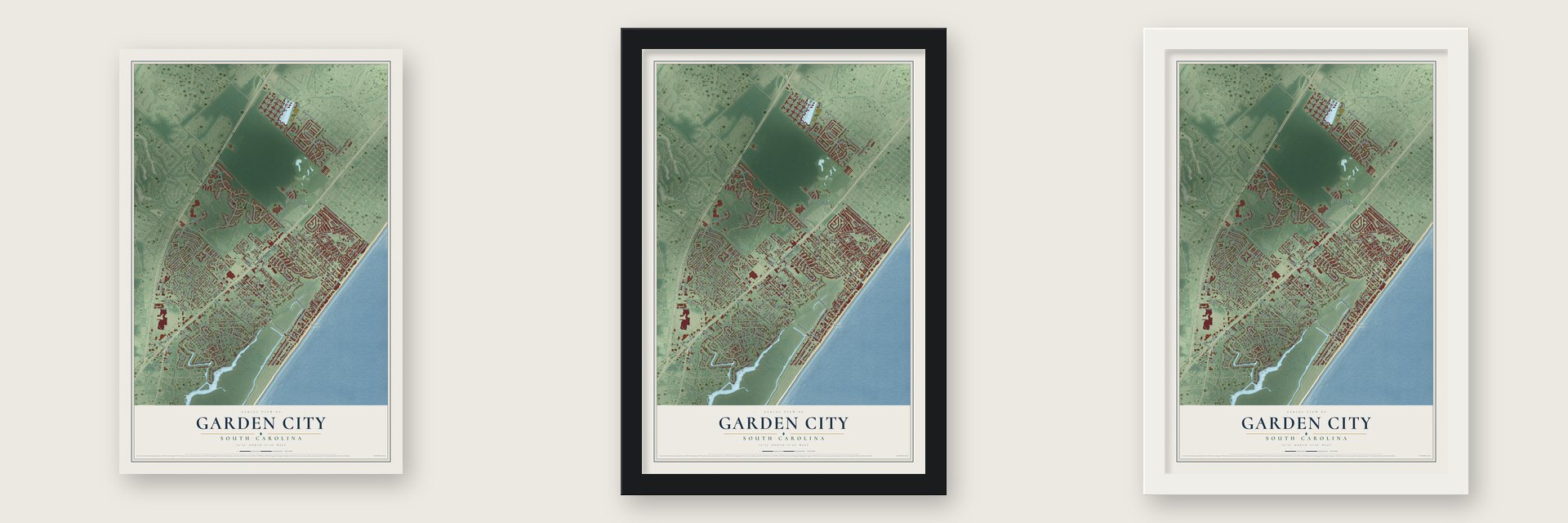
Unframed archival matte, a black wood frame or a white wood frame.
Up close
Geography Worth Displaying
This map was created using accurate cartographic data and authoritative geographic sources, including the U.S. Geological Survey and the Census Bureau. The map brings together terrain, waterways, roads, and building detail. The majority of the streets are labeled, houses are accurately depicted, and the topography is derived from government sources. Combining local data with carefully composed color and shading leads to this beautifully detailed Garden City artwork for your wall.
Rather than simply showing street outlines, we’ve included as many of the street names as we could reasonably fit on the map while keeping their names legible. Zoom in on the high resolution preview to see exactly what’s on the map. We truly set out to create a statement piece for anyone who loves Garden City. So whether it’s for you, or a gift for someone you love, we hope this map of Garden City brings back fond memories.
Read the story behind this map of Garden City, South Carolina from 2026.
Find your street
Names on the Garden City map
Every name below is printed on this map. Look for your street, your school, the park where you played, or the pond down the road.
Places and landmarks11
- Garden City Beach
- Jamestown
- Jensens
- Mount Gilead
- Ocean Pines
- Oceanside Village
- Pirate Cove
- Seabreeze
- Seacroft
- Windjammer Village
- Tupelo Bay
Streets and roads218
- South US Highway 17 Bus
- Us-17-Br
- Jamestown Drive
- Oak Street
- Palmetto Trail
- Moon Shadow Lane
- Colony Drive
- Atlantic Avenue
- Palladium Drive
- Glenns Bay Road
- State Road S-26-155
- North Waccamaw Drive
- State Road S-26-816
- South Waccamaw Drive
- Jensen Drive North
- North Dogwood Drive
- Plaza Drive
- Woodland Drive
- Pecan Trail
- The Boulevard
- Calhoun Road
- Bay Drive
- Offshore Drive
- Mall Drive
- Garden City Con
- Oceanside Drive
- Elizabeth Drive
- Cypress Avenue
- State Road S-26-154
- Point Drive
Show all 218 streets
- Seabreeze Drive
- Vista Drive
- State Road S-26-71
- Rum Gully Road
- Calhoun Drive
- Melody Lane
- Rainbow Drive
- Woodlake Drive
- Stanley Drive
- Melody Gardens Drive
- Bluebird Lane
- Pine Avenue
- Oak Avenue
- Winston Trail
- Mount Gilead Road
- Wood Thrush Drive
- Inlet Square Drive
- Georges Bay Road
- Sandollar Drive
- Jensen Drive South
- Spanish Oak Drive
- William Buckland Boulevard
- Jay Street
- Meadow Lark
- Dogwood Drive South
- Harbour Village Drive
- Rebecca Lane
- Lynco Lane
- Clearwater Drive
- Boundary Drive
- Yaupon Avenue
- Caropine Drive
- Colonial Circle
- Chandler Drive
- Marina Drive
- Moonshadow Lane
- Grand Strand Trail
- Grandhaven Drive
- Woodland Drive Extended
- Canal Drive
- Misty Pine Drive
- Hidden Lake Drive
- Salters Road
- Old Field Road
- Misty Breeze Lane
- Seacroft Drive
- South Bridge Drive
- First Avenue South
- Shamrock Circle
- Lizzie Lane
- Andover Drive
- Murdock Road
- Purple Martin Drive
- Indian Wells Court
- Ray Costin Way
- Tadlock Drive
- Oriole Drive
- Essex Drive
- West Surfwind Drive
- McIlroy Court
- Rum Gully Circle
- Easy Street
- First Street
- Patrick Road
- Charleston Trail
- Kingfisher
- Cactus Drive
- Vereen Road
- Spinnaker Lane
- Rhea Drive
- Flamingo
- Oliver Drive
- Ross Lane
- Santee Drive
- Dixon Drive
- Sawmill Road
- Riven Oak Drive
- Creekside Drive
- Avocet
- Delton Drive
- Sunset Drive
- Ray Lane
- Egret
- Hawes Avenue
- Holiday Drive
- Aiken Road
- Gannet
- Inez Road
- Ibis Drive
- Shell Court
- Dogwood Drive North
- Treasure Avenue
- Charlotte Drive
- State Highway South 26-51
- Bay Drive Extended
- Sunrise Drive
- State Road S-26-1191
- Woodmoor Circle
- Raleigh Trail
- Mount Gilead Place Road
- Amber Drive
- Hunsberger Drive
- Garden Lake Drive
- Waverly Loop
- Addison Cottage Way
- Huntingdon Drive
- Snowy Egret Drive
- Islander Court
- Lake Pointe Drive
- Wedgewood Drive
- Hilander Drive
- Seacrest Drive
- Swamp Fox Trail
- Seaway Lane
- Green Heron Drive
- Ocean Reef Lane
- Elema Lane
- Carolina Wren Lane
- Pine Street South
- Topsail Lane
- Park Green Drive
- North Creekside Drive
- Heritage Road
- Garden Park Drive
- Magnolia Avenue
- Van Buren Drive
- Davidson Lane
- Mast Court
- Tunnoch Road
- Bleiler Avenue
- Marlin Court
- Marsh Place
- Osprey Court
- Hugo Avenue
- Trizzie Trail
- Twin Lakes
- Inez Lane
- Cove Lane
- State Road S-26-530
- Richmond Trail
- Laurel Drive
- Jensens Drive North
- Di Cindy Lane
- Coastline Court
- Barkwood Drive
- Piedmont Trail
- Boundary Road
- Jacana Drive
- Chemung Court
- West Bank
- McLain Court
- Hickory Ridge Drive
- Wando Road
- Mourning Dove Lane
- Victory Lane
- Sunnydale Lane
- Fox Lane
- Ash Drive
- Spanish Oak Court
- Crab Drive
- B-N Lane
- Lanier Road
- Caverly Lane
- Grove Park Drive
- Park Lane
- Dillon Road
- Pierce Place
- Sweetwater Boulevard
- Kittiwake Lane
- Somerworth Circle
- Old South Circle
- Blue Ridge Trail
- Bluewater Lane
- Monk Square
- East Surfwind Drive
- Clamclove
- Belle Drive
- Peachtree Lane
- Warbler Court
- Garden Manor Court
- Fox Sparrow Drive
- Finley Circle
- Triple Oak Lane
- Southwind Court
- Keel Lane
- Salt Place
- Palm Road
- Inlet Circle
Names are listed as they appear on the printed map. Zoom into the product photos to find them.
About Garden City, South Carolina
From the South Carolina Picture Project: "As did other beach towns hit by the storm, Garden City recovered from both hurricanes with time, regaining its position as a favored spot among beachgoers."
Keep exploring South Carolina
Garden City is one of 540 South Carolina towns we've mapped. Every dot on the map is a print of its own.
The search covers every state, South Carolina first.
Near Garden City
Order 2 or more town maps and save 10%. Shown in the size and finish you picked above, so they hang as a set.
- Surfside Beach 12" x 18" / Archival Matte Print $39.99
- Burgess 12" x 18" / Archival Matte Print $39.99
- Murrells Inlet 12" x 18" / Archival Matte Print $39.99
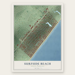
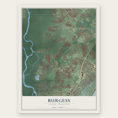
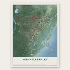
More maps nearby: Lakewood, Socastee, Bucksport, Forestbrook and Litchfield Beach.
The art of mapping a place
How This Map Was Made
Real places. Remarkable detail. Discover the layers that turn geographic data into a map of home.

The view from above
Aerial imagery reveals the character of the land: woodland, open fields, and the patterns of a place.

The shape of the land
Elevation data brings hills, valleys, and subtle changes in the landscape into view.

The details of home
Roads, waterways, and building footprints come together to make the map feel unmistakably local.

Geography becomes art
Considered color, shading, and typography bring the layers together in a map made for your wall.


Process illustrated with Mendon, Massachusetts. Aerial imagery: USDA NAIP. Terrain: USGS 3D Elevation Program. Map details and finished artwork: KNOWOL.
The Details
About This Print
Choose an archival matte print, or a black or white Ayous wood frame. The archival matte print is unframed.
Select your size and finish above to see the matching product image and price.
Materials & Craftsmanship
A contemporary map with the character of a classic atlas, printed on archival matte paper. Optional frames are made from Ayous wood.
Your printed map does not include the watermark shown in the full-map preview.
Shipping & Delivery
Free shipping within the United States. Every print is made to order in the USA.
Buying a gift? Add a note in your cart and we'll include it. We never put prices in the package.
Prints ship within 2 to 3 business days. Allow 7 to 10 days total from ordering for delivery. Timing may vary during holidays or periods of high order volume.
Read our shipping policy.
Returns and damaged prints
Each print is made to order. Change-of-mind refunds are not available after production.
If your print arrives damaged, misprinted or incorrect, contact support@knowol.com within 30 days of receiving it. Include your order number, photos and a description of the issue.
Read our full refund and replacement policy. For questions about your order, email support@knowol.com.