
Search for another town



Free U.S. delivery 7 to 10 days after you order
Socastee, South Carolina Map Art
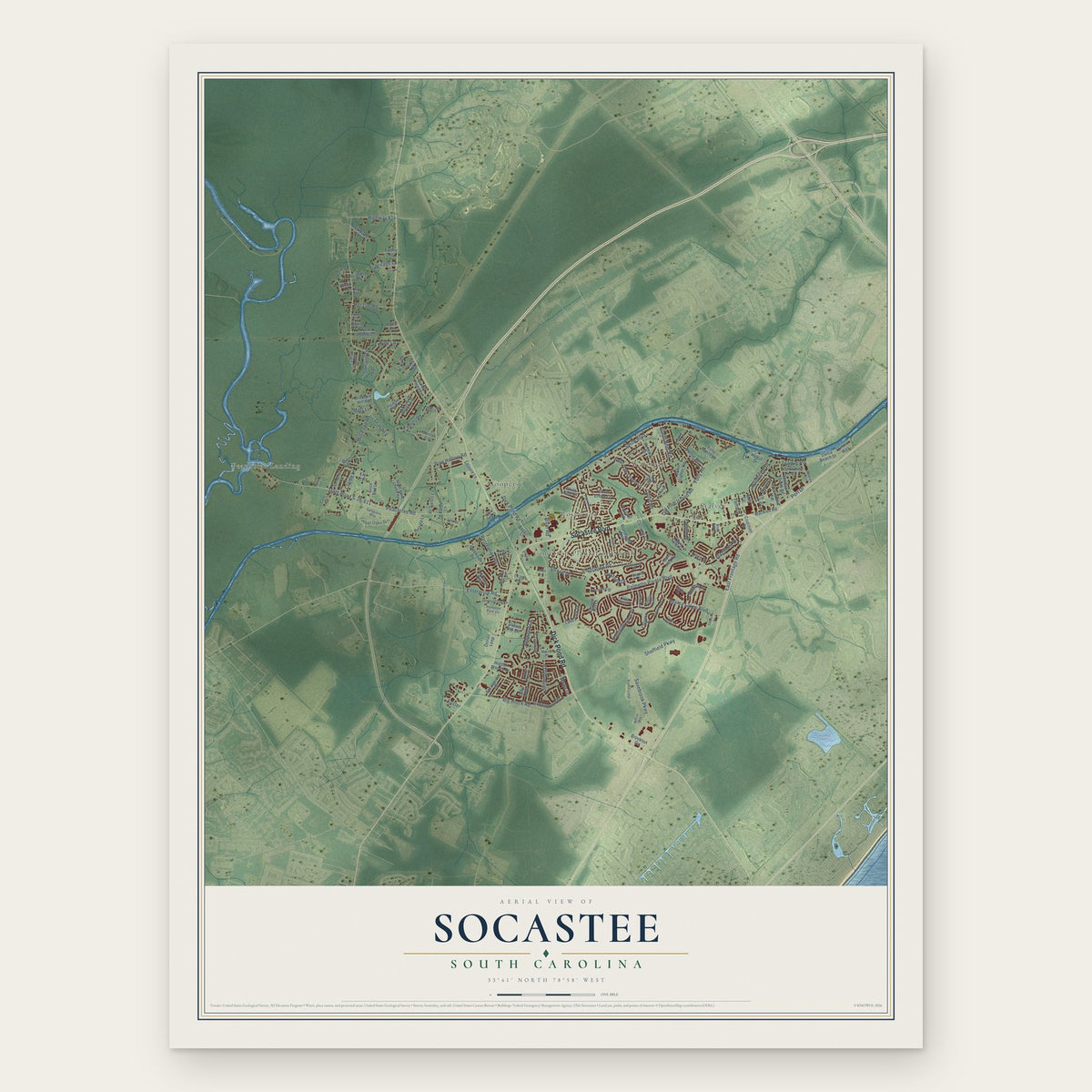
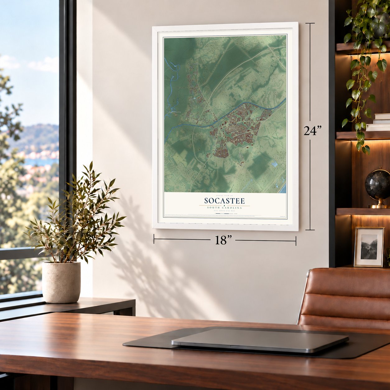
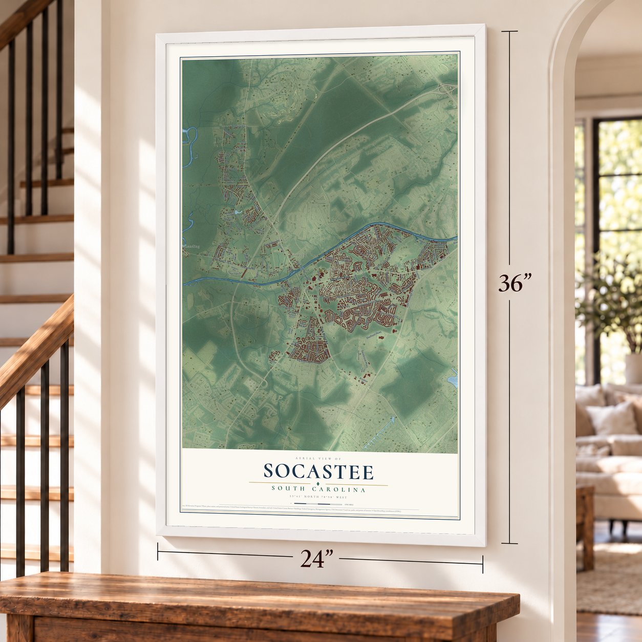
A new map of Socastee, South Carolina, made in 2026 and printed to order on thick archival matte paper.
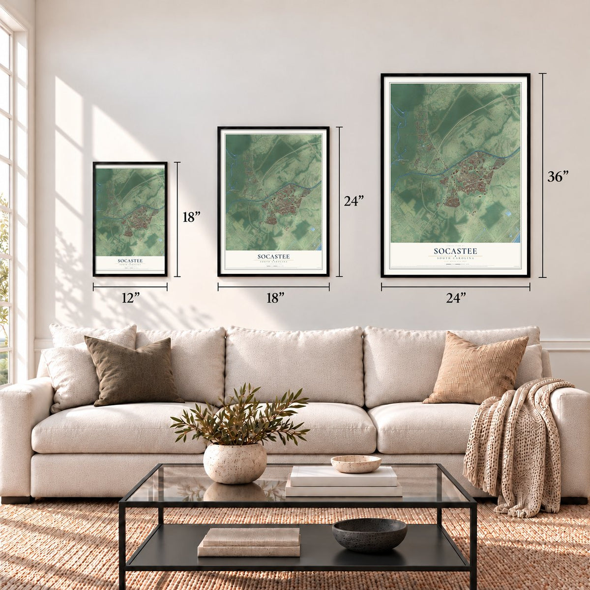
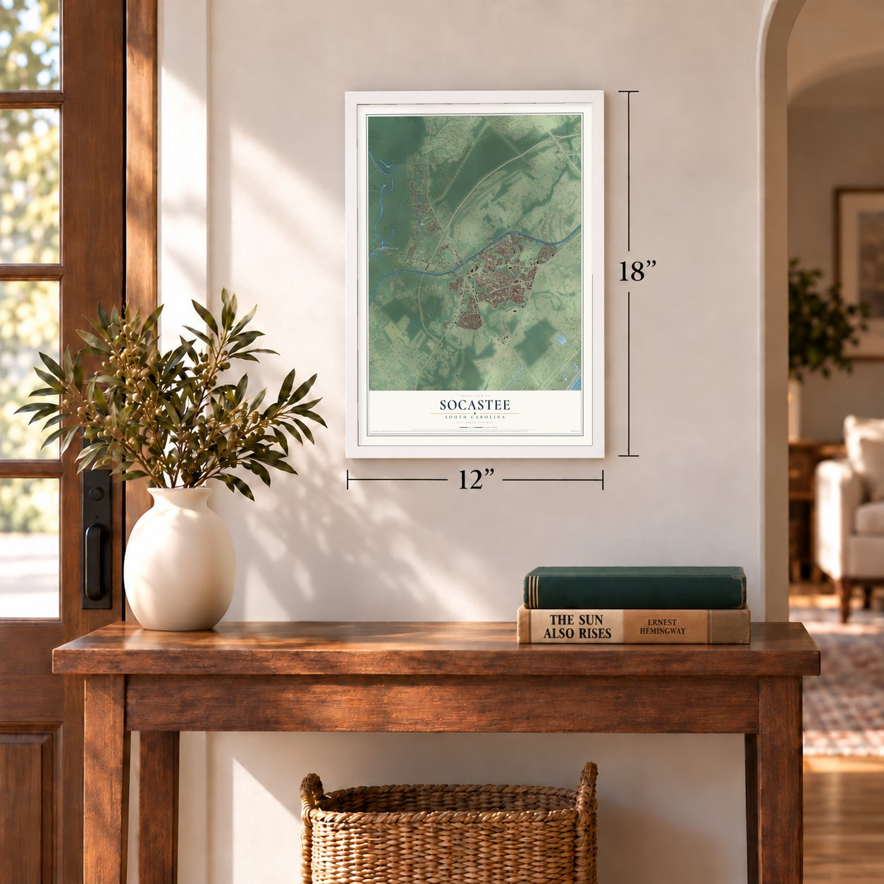
12" x 18" Archival Matte Print
A Map of Home. A Work of Art.
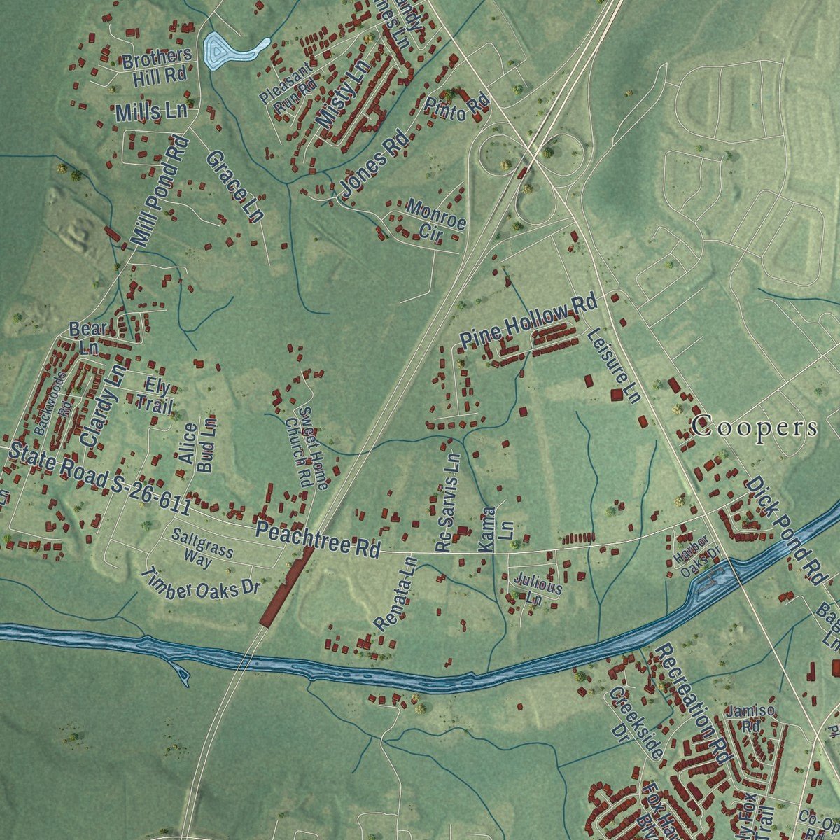
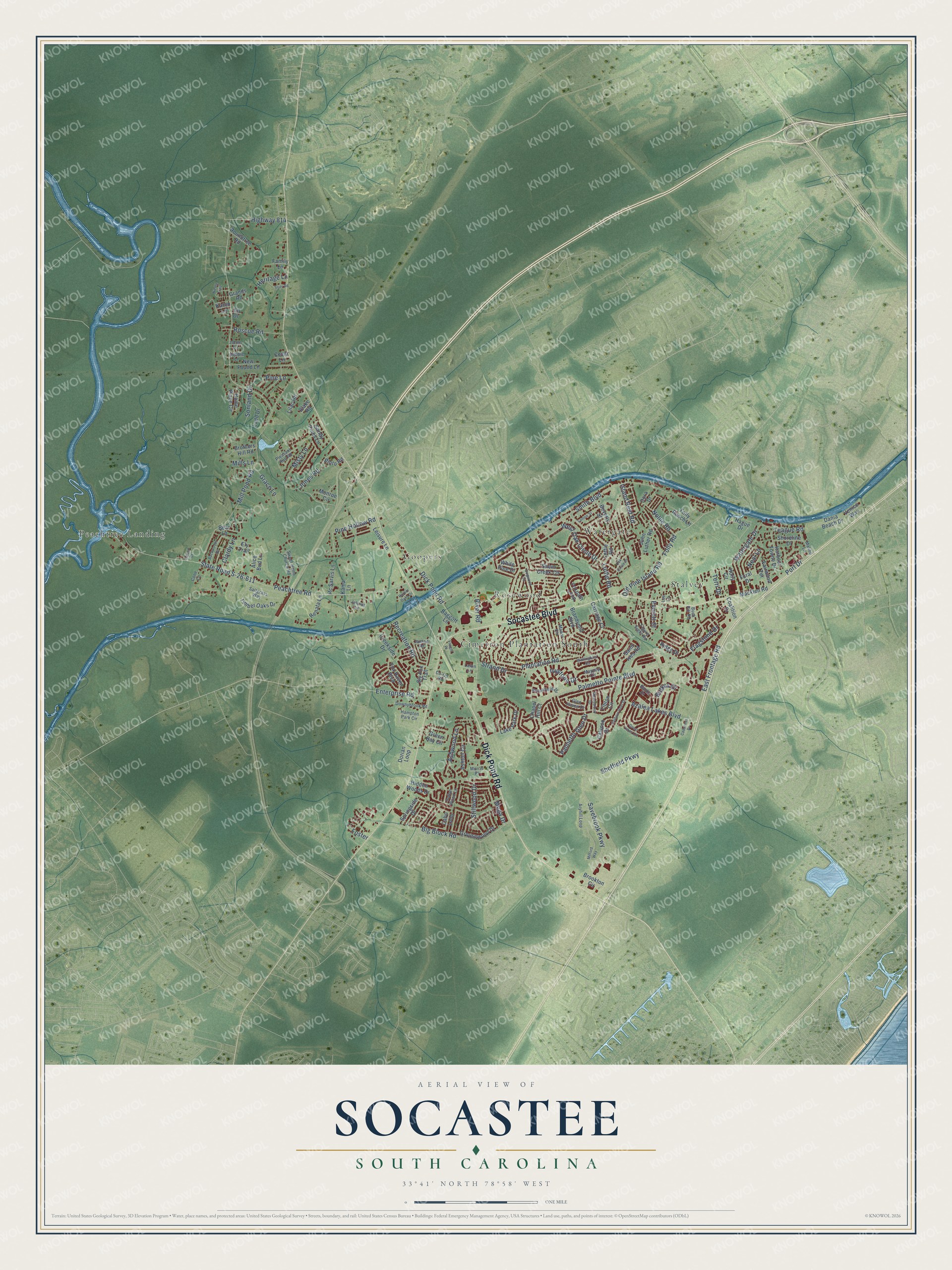
Explore Socastee, South Carolina from a whole new perspective. Created using aerial imagery and detailed geographic data, this map captures Socastee building by building, with labeled streets, familiar landmarks, and shaded topographical relief that highlights the natural contours of the landscape.
Combining modern data with the timeless character of a vintage atlas, this map is just as interesting up close as it is beautiful on the wall. Whether you grew up in Socastee, spent memorable years there, or call it home today, this unique map is a great way to celebrate a place that means something to you. Zoom in on the preview to look for your street, and then order a print to put your memories on the wall.
Three ways to hang it
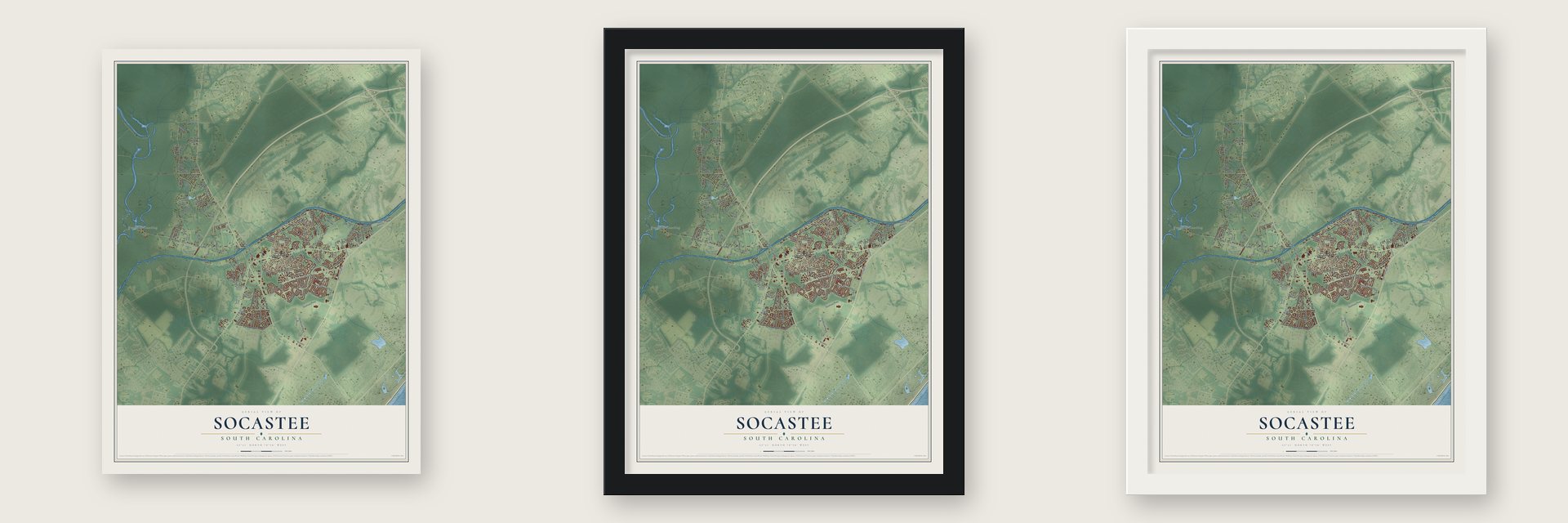
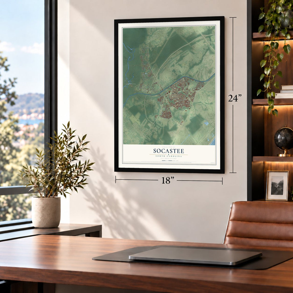
Unframed archival matte, a black wood frame or a white wood frame.
Up close
Geography Worth Displaying
This map was created using accurate cartographic data and authoritative geographic sources, including the U.S. Geological Survey and the Census Bureau. The map brings together terrain, waterways, roads, and building detail. The majority of the streets are labeled, houses are accurately depicted, and the topography is derived from government sources. Combining local data with carefully composed color and shading leads to this beautifully detailed Socastee artwork for your wall.
Rather than simply showing street outlines, we’ve included as many of the street names as we could reasonably fit on the map while keeping their names legible. Zoom in on the high resolution preview to see exactly what’s on the map. We truly set out to create a statement piece for anyone who loves Socastee. So whether it’s for you, or a gift for someone you love, we hope this map of Socastee brings back fond memories.
Read the story behind this map of Socastee, South Carolina from 2026.

About Socastee, South Carolina
Socastee is a community in Horry County, South Carolina, where the 2020 census counted 22,213 people. Its name comes from an Indigenous American word. The place appears as "Sawkastee" in a land grant made to Percival Pawley in 1711.
In 1781, during the Revolutionary War, small groups of American and British soldiers fought a skirmish near Socastee Creek. A century later the community had found its trade. By the 1870s Socastee was an important center for making turpentine, tar and other naval stores and sending them to market.
- A working village by the 1870sBesides its turpentine distilleries, Socastee in the 1870s had a saw mill, a cotton gin, a grist mill, a cooper shop and a general store.
- Historic district since 2002The Socastee Historic District joined the National Register in 2002. Its metal swing bridge carries traffic over the Intracoastal Waterway, and the district also holds a pecan grove, a single store and a pair of houses, which together show how the community took shape in the early twentieth century.
- From 19,952 to 22,213Socastee kept growing in the new century. The census counted 19,952 people here in 2010 and 22,213 in 2020.
Find your street
Names on the Socastee map
Every name below is printed on this map. Look for your street, your school, the park where you played, or the pond down the road.
Places and landmarks6
- Cimerron Plantation South
- Coopers
- Peachtree Landing
- Rosewood
- Stalvey
- Watergate
Streets and roads148
- Socastee Boulevard
- Dick Pond Road
- Peachtree Road
- State Road S-26-611
- Highway 814
- Palmetto Pointe Boulevard
- Folly Road
- Mill Pond Road
- Sheffield Parkway
- Plantation Road
- Big Block Road
- Savebrook Parkway
- Jones Road
- Old Pine Island Road
- Smith Boulevard
- Luttie Road
- West Oak Circle Drive
- Palmetto Glen Drive
- East Frontage Road
- Watergate Drive
- River Road
- Azalea Lakes Boulevard
- Recreation Road
- Pine Hollow Road
- Ivystone Drive
- Nollie Road
- Stillwood Drive
- Ashwood Lane
- Enterprise Road
- Flagstone Drive
Show all 148 streets
- Roscoe Road
- Port Drive
- Grace Lane
- Strand Drive
- Misty Lane
- Island Reef Road
- Clardy Lane
- Butkus Drive
- Sonland Drive
- Teague Road
- Pine Lane
- Heritage Lane
- Everett Street
- Terri Drive
- Neal Lane
- Mega Drive
- Mills Lane
- Foster
- Tibton Circle
- Grousewood Drive
- Lake Park Drive
- Hidden Woods Drive
- Brandymill Boulevard
- Shem Creek Circle
- Springside Drive
- Foxpath Loop
- Lottie Road
- Saint Ives Road
- Cabo Loop
- Carriage Court
- Green Bay Circle
- Timber Oaks Drive
- Leisure Lane
- Creekside Drive
- Bear Lane
- Holly Circle
- Hague Drive
- John Luther Road
- Home Place Circle
- Roundtree Road
- Ashton Circle
- Beverly Street
- Sandy Pines Lane
- Dorian Loop
- Harbour Towne Drive
- Fox Haven Boulevard
- Calypso Drive
- Ridge Drive
- Brothers Hill Road
- Dania Beach Drive
- Lilac Road
- Macklen Road
- Baggott Lane
- Rc Sarvis Lane
- Kama Lane
- Ladd Drive
- New Found Lane
- Shoreline Drive
- Fairwood Terrace
- Alice Bud Lane
- Folly Ranch Lane
- Monroe Circle
- Renata Lane
- Grands Road
- Brookton Circle
- Dora Drive
- White Pine Drive
- Coalition Drive
- Pinto Road
- Ely Trail
- Family Lane
- Venice Way
- Sly Fox Trail
- Chapel Hill Court
- Blake Road
- Foral Drive
- Cedar Lane
- Karen Lane
- Ed Drive
- Manor Circle
- Figure Eight Road
- Hampton Park Circle
- Sweet Home Church Road
- Indian Wood Lane
- Maypop Circle
- Aryhill Loop
- Pleasant Run Road
- Saltgrass Way
- Downybrook Road
- Jamiso Road
- Julious Lane
- Brookfield Drive
- Malibu Lane
- Banks Drive
- Johns Lane
- Morris Place
- Glen Haven Drive
- Co-Op Road
- Cone Lane
- Debbie Lane
- Buck Hill Road
- Lafon Lane
- Lee Lane
- Great Lakes Circle
- Harbour Reef Drive
- Dogwood Circle
- Wallingford Circle
- Oak Circle Drive
- Milford Way
- Backwoods Road
- Soils Road
- Harbor Oaks Drive
- Lonnie Street
- Sherrybrook Drive
- Caduceus Drive
- Vaught Place
- Nicole Trail
- Carvel Court
Names are listed as they appear on the printed map. Zoom into the product photos to find them.
The art of mapping a place
How This Map Was Made
Real places. Remarkable detail. Discover the layers that turn geographic data into a map of home.

The view from above
Aerial imagery reveals the character of the land: woodland, open fields, and the patterns of a place.

The shape of the land
Elevation data brings hills, valleys, and subtle changes in the landscape into view.

The details of home
Roads, waterways, and building footprints come together to make the map feel unmistakably local.

Geography becomes art
Considered color, shading, and typography bring the layers together in a map made for your wall.


Process illustrated with Mendon, Massachusetts. Aerial imagery: USDA NAIP. Terrain: USGS 3D Elevation Program. Map details and finished artwork: KNOWOL.
The Details
About This Print
Choose an archival matte print, or a black or white Ayous wood frame. The archival matte print is unframed.
Select your size and finish above to see the matching product image and price.
Materials & Craftsmanship
A contemporary map with the character of a classic atlas, printed on archival matte paper. Optional frames are made from Ayous wood.
Your printed map does not include the watermark shown in the full-map preview.
Shipping & Delivery
Free shipping within the United States. Every print is made to order in the USA.
Buying a gift? Add a note in your cart and we'll include it. We never put prices in the package.
Prints ship within 2 to 3 business days. Allow 7 to 10 days total from ordering for delivery. Timing may vary during holidays or periods of high order volume.
Read our shipping policy.
Returns and damaged prints
Each print is made to order. Change-of-mind refunds are not available after production.
If your print arrives damaged, misprinted or incorrect, contact support@knowol.com within 30 days of receiving it. Include your order number, photos and a description of the issue.
Read our full refund and replacement policy. For questions about your order, email support@knowol.com.
Find your town
Looking for another city?
Find a map of home in our South Carolina collection, or any town in the country.
Nearby
Maps of towns near Socastee
Know someone from one of these towns? Their map makes a great gift.
 Forestbrook
, South Carolina
From $39.99See the map
 Red Hill
, South Carolina
From $39.99See the map
 Surfside Beach
, South Carolina
From $39.99See the map
More maps nearby: Garden City, Bucksport, Myrtle Beach, Carolina Forest and Conway.