
Search for another town




Free U.S. delivery 7 to 10 days after you order
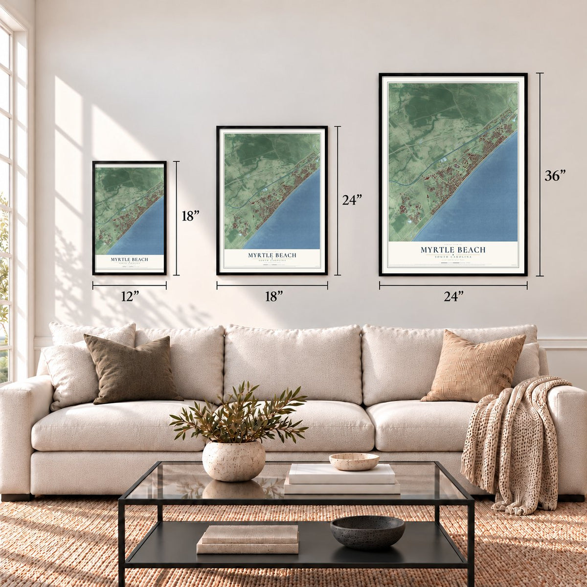
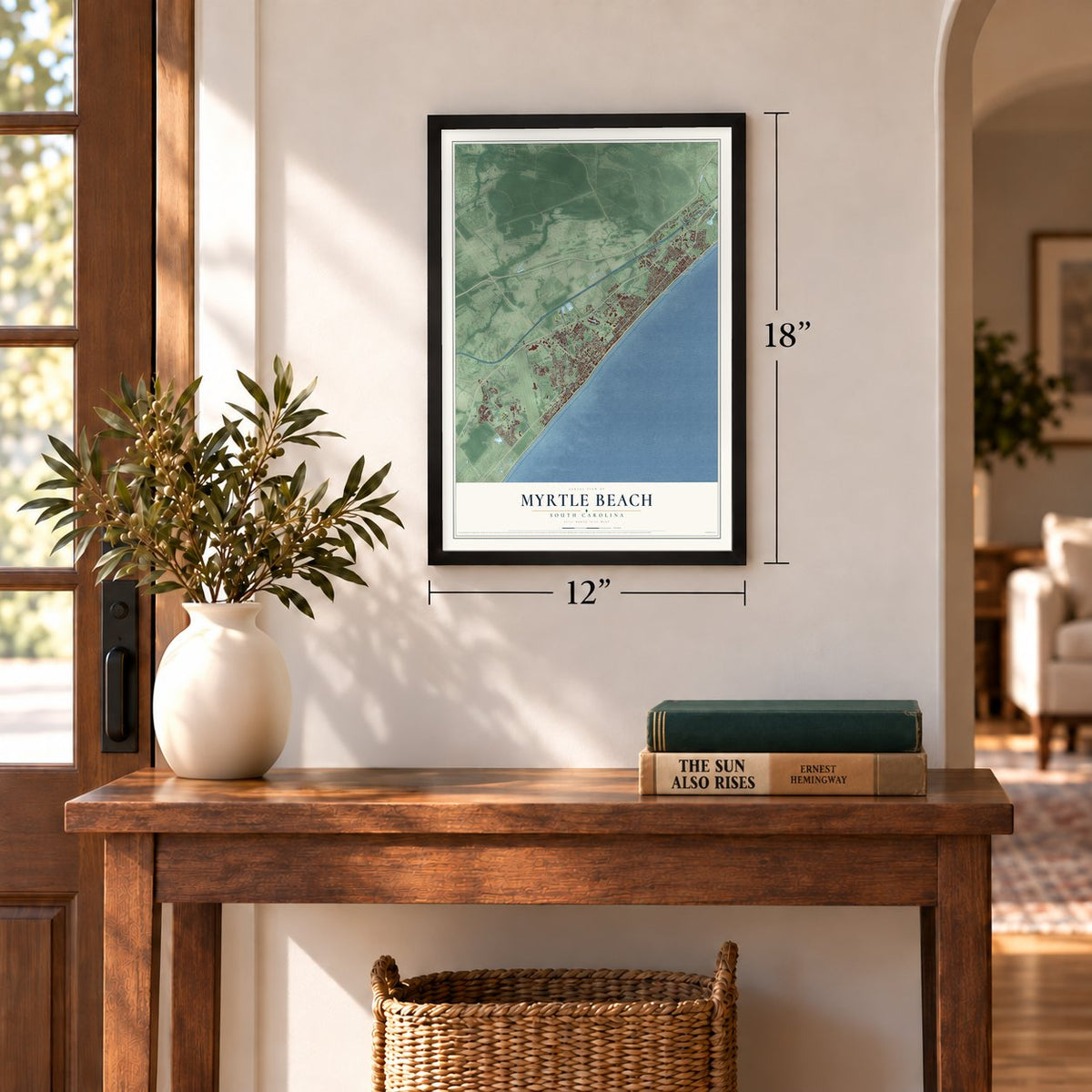
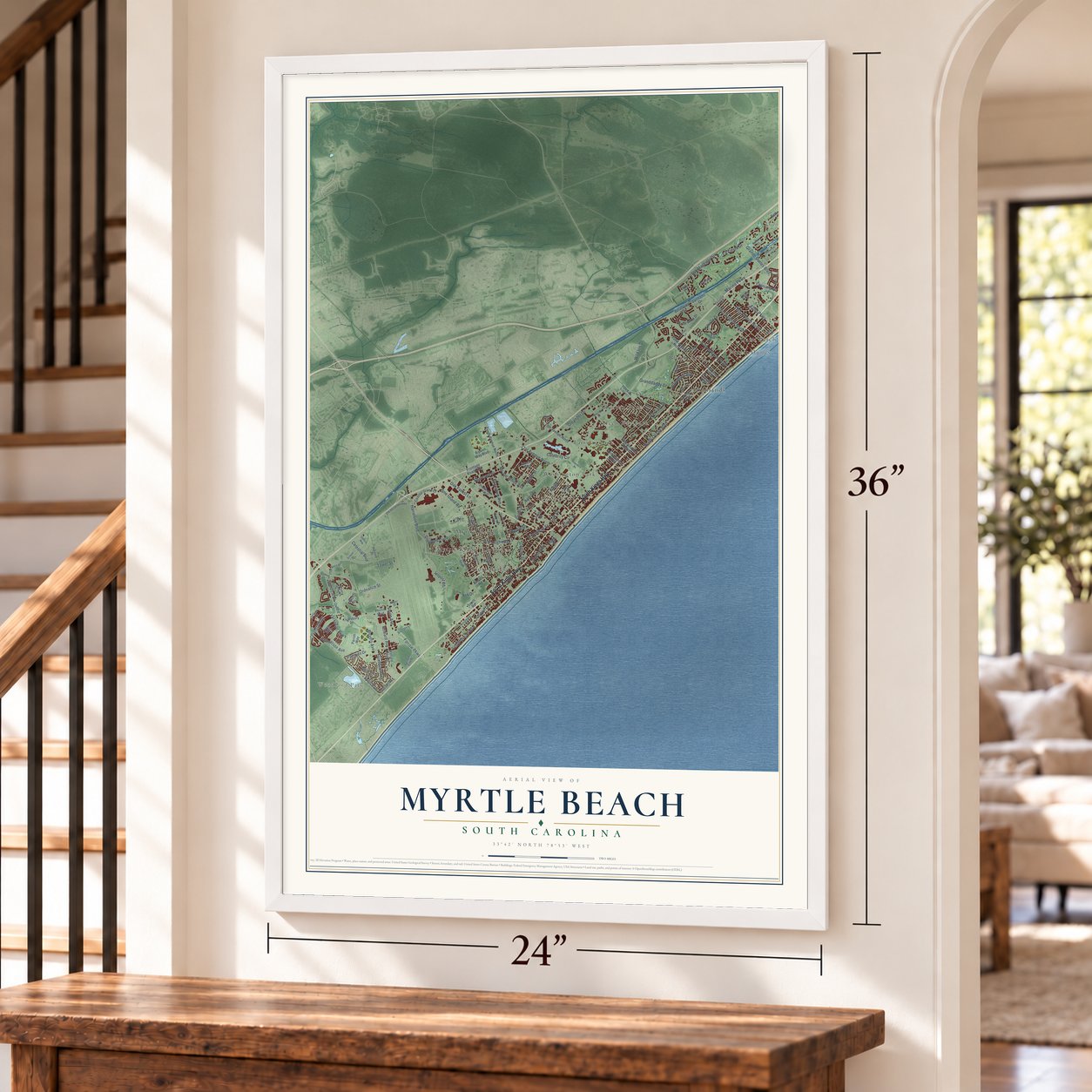
Myrtle Beach, South Carolina Map Art
A new map of Myrtle Beach, South Carolina, made in 2026 and printed to order on thick archival matte paper.
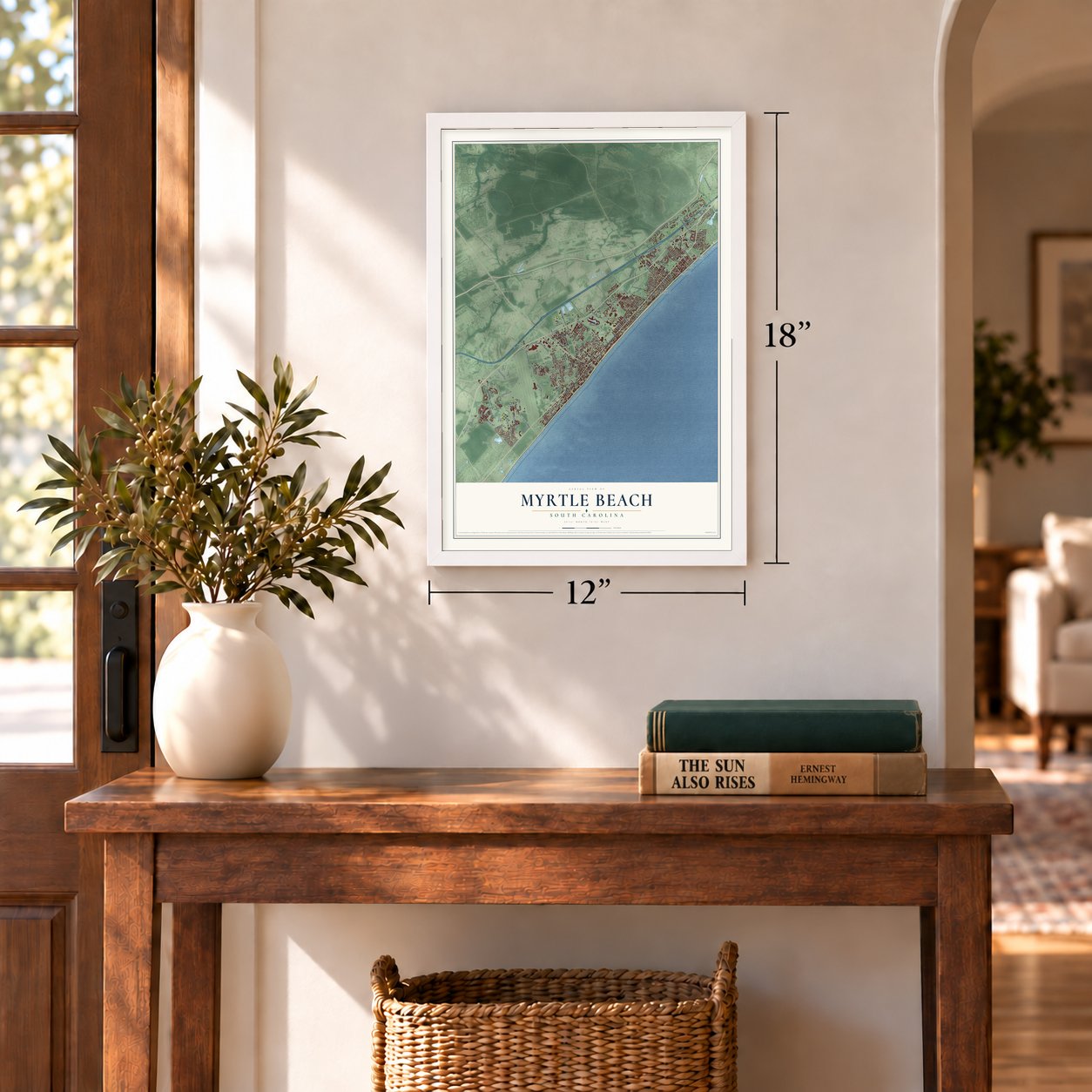
12" x 18" Archival Matte Print
A Map of Home. A Work of Art.
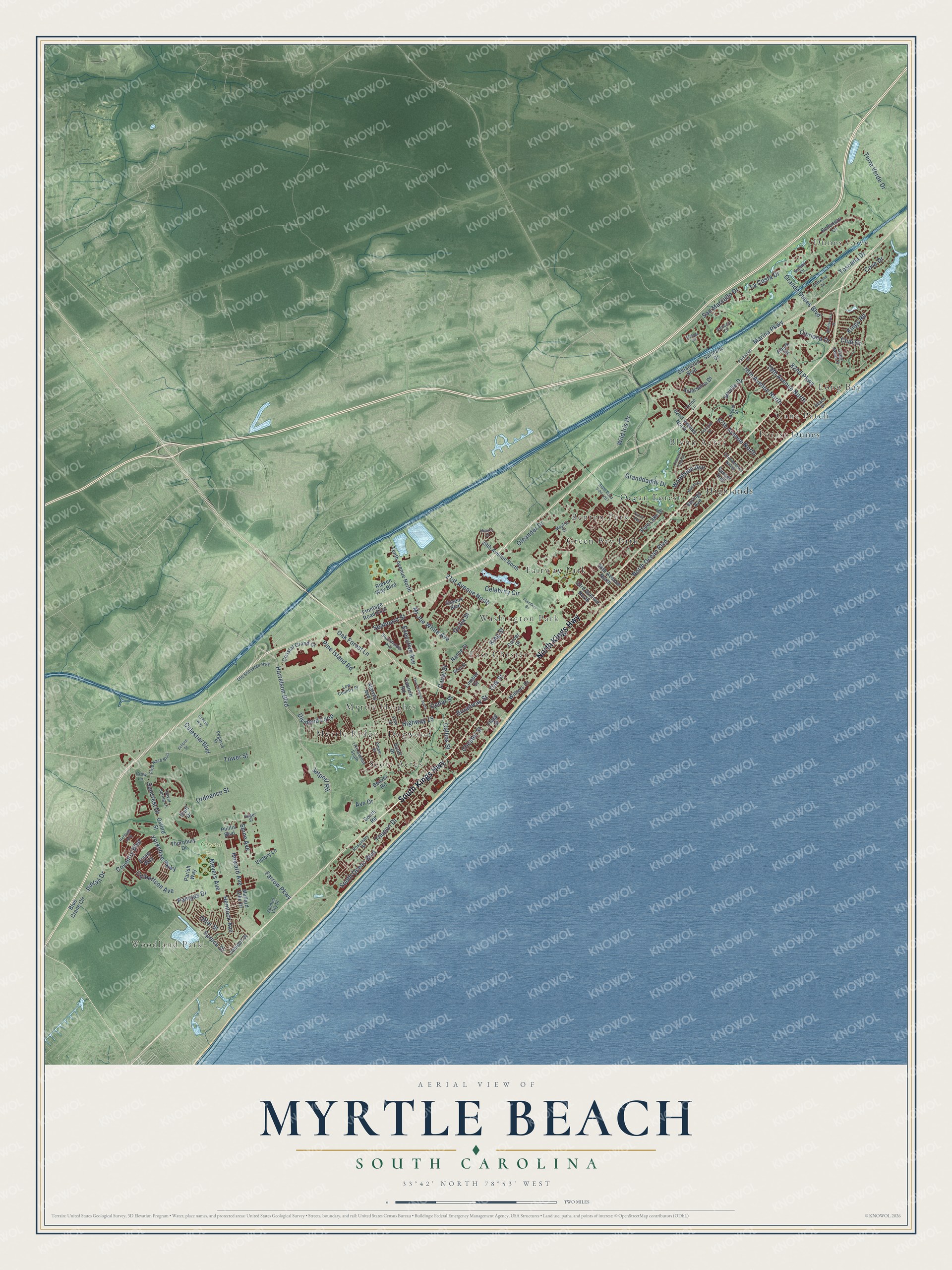
Explore Myrtle Beach, South Carolina from a whole new perspective. Created using aerial imagery and detailed geographic data, this map captures Myrtle Beach building by building, with labeled streets, familiar landmarks, and shaded topographical relief that highlights the natural contours of the landscape.
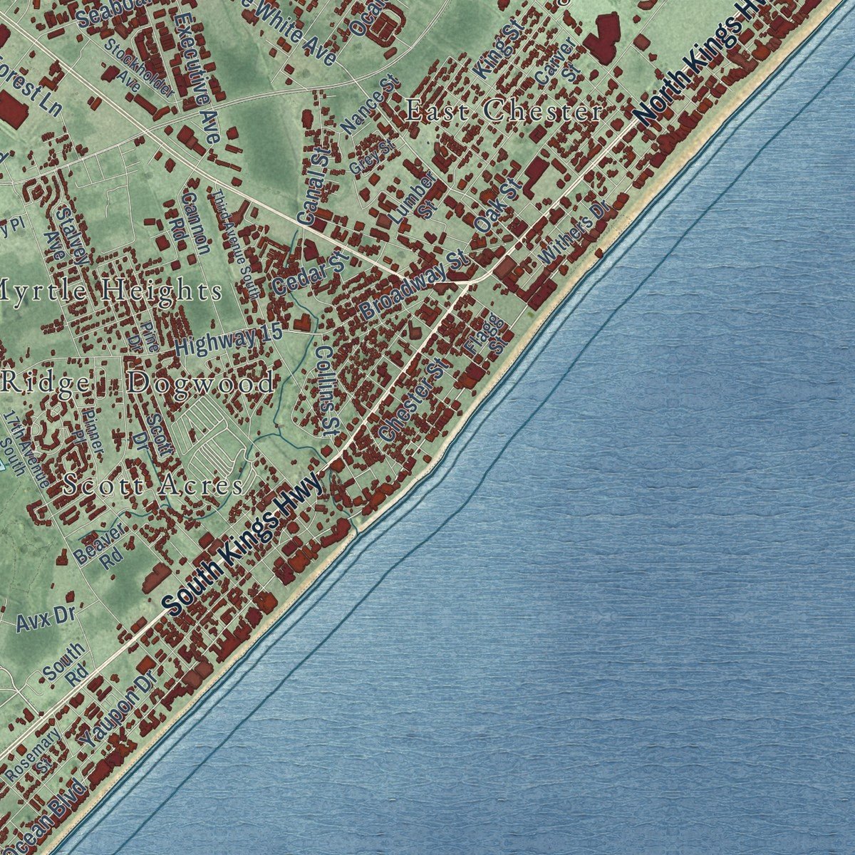
Combining modern data with the timeless character of a vintage atlas, this map is just as interesting up close as it is beautiful on the wall. Whether you grew up in Myrtle Beach, spent memorable years there, or call it home today, this unique map is a great way to celebrate a place that means something to you. Zoom in on the preview to look for your street, and then order a print to put your memories on the wall.
Three ways to hang it
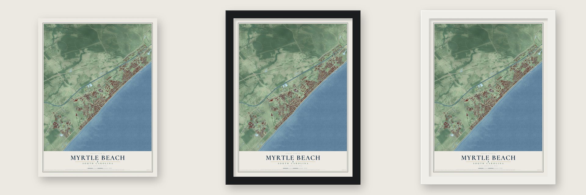
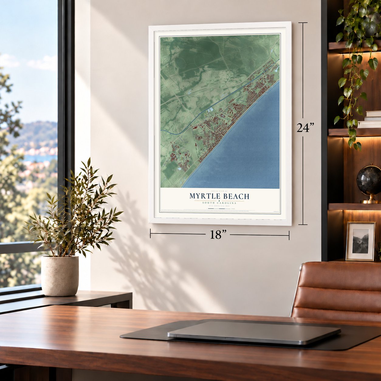
Unframed archival matte, a black wood frame or a white wood frame.
Up close
Geography Worth Displaying
This map was created using accurate cartographic data and authoritative geographic sources, including the U.S. Geological Survey and the Census Bureau. The map brings together terrain, waterways, roads, and building detail. The majority of the streets are labeled, houses are accurately depicted, and the topography is derived from government sources. Combining local data with carefully composed color and shading leads to this beautifully detailed Myrtle Beach artwork for your wall.
Rather than simply showing street outlines, we’ve included as many of the street names as we could reasonably fit on the map while keeping their names legible. Zoom in on the high resolution preview to see exactly what’s on the map. We truly set out to create a statement piece for anyone who loves Myrtle Beach. So whether it’s for you, or a gift for someone you love, we hope this map of Myrtle Beach brings back fond memories.
Read the story behind this map of Myrtle Beach, South Carolina from 2026.

About Myrtle Beach, South Carolina
Myrtle Beach is a city of 35,682 people in Horry County, in the middle of the 60-mile Grand Strand. The Waccamaw people fished this shore before Europeans came, and before the Revolution the Withers family received land grants around the creek now called Wither's Swash. In 1822 a strong hurricane washed R. F. Withers's house into the sea, and 18 people inside drowned. After that the family gave up the coast, and the land slowly grew back into woods.
In 1881 a Conway firm, the Burroughs and Collins Company, bought much of the old Withers land, and a post office called Withers opened in 1888. The company got a charter for the Conway & Seashore Railroad on February 28, 1899, to haul timber inland, and daily trains began on May 1, 1900. Franklin Burroughs had dreamed of a resort here but died in 1897. His sons extended the railroad to the shore and built the Seaside Inn, which opened in 1901. Myrtle Beach became a town in 1938 and a city in 1957.
“She gave up the pleasures of Society and retired to Long Bay, where she resided a great part of her life devoted to the welfare of her children.”
- Named for a shrubA naming contest for the new resort took place around 1900. Franklin Burroughs's widow suggested the southern wax myrtle, a shrub that grows thick along this coast. Soon afterward the Withers post office took the name Myrtle Beach.
- The first beach touristsThe railroad started with two wood-burning locomotives, and one of them, The Black Maria, came used from a North Carolina logging company. Once the line was done, lumber and railroad workers rode flatcars to the shore on their weekends off. They became the first Grand Strand tourists, and they called the end of the line New Town, to set it apart from Old Town, as Conway was known.
- Washington crossed the SwashOn his tour of the Southern states, President George Washington rode the King's Highway, the road that is now US 17. He spent a night at Windy Hill, now part of North Myrtle Beach, and Jeremiah Vereen guided him across Wither's Swash on the way to Georgetown.
- An airfield turned air baseMyrtle Beach Municipal Airport was built in 1937, and the U.S. Army Air Corps took it over in 1940 as a military base. Commercial flights started in 1976 and shared the runway with the base until it closed in 1993. The field has been Myrtle Beach International Airport ever since.
Find your street
Names on the Myrtle Beach map
Every name below is printed on this map. Look for your street, your school, the park where you played, or the pond down the road.
Places and landmarks18
- Woodland Park
- Dunes Cove
- Grand Park
- Benton Park
- Blynn Acres
- Cane Patch
- Dogwood
- East Chester
- Fairway Park
- Forest Dunes
- Green Bay Park
- Highlands
Show all 18 places
- Long Bay
- Myrtle Heights
- Myrtle Ridge
- Ocean Forest
- Scott Acres
- Washington Park
Streets and roads134
- North Kings Highway
- South Kings Highway
- North Ocean Boulevard
- Harrelson Boulevard
- Mr Joe White Avenue
- Avx Drive
- Meyers Avenue
- Pintail Drive
- Farrow Parkway
- Marina Parkway
- South Ocean Boulevard
- 21st Avenue North
- Oak Street
- Howard Avenue
- 82nd Parkway
- Yaupon Drive
- Celebrity Circle
- Pampas Drive
- Wild Iris Drive
- Highway 15
- Seaboard Street
- Grande Dunes Boulevard
- Culbertson Avenue
- San Marcello Drive
- Terra Verde Drive
- Suncrest Drive
- Coventry Boulevard
- Pine Island Road
- Oak Forest Lane
- Oleander Drive
Show all 134 streets
- 79th Avenue North
- Chester Street
- La Costa Drive
- 76th Avenue North
- Toscana Drive
- Shine Avenue
- 67th Avenue North
- Broadway Street
- Spruce Drive
- Woodside Avenue
- Cove Drive
- Kings Road
- Seville Drive
- Dividend Loop
- Yorkshire Parkway
- King Street
- Cipriana Drive
- Executive Avenue
- Cedar Street
- Ordnance Street
- Granddaddy Drive
- Hemlock Avenue
- Club Drive
- Tower Street
- Celestial Boulevard
- Canal Street
- Ocala Street
- Jetport Road
- Otter Street
- Collins Street
- Tenth Avenue North
- Bellasera Lane
- 29th Avenue North
- Coastal Grand Court
- Withers Drive
- Oxford Street
- 62nd Avenue North
- Pine Lake Drive
- Parish Way
- 38th Avenue North
- Blue Crane Circle
- Sarteano Drive
- Mallard Lake Drive
- Cannon Road
- Greens Boulevard
- Carver Street
- Flagg Street
- Stalvey Avenue
- Anterselva Drive
- Phillis Boulevard
- Frontage Road East
- Belancino Boulevard
- Thornbury Drive
- Springs Avenue
- 33rd Avenue North
- Ripken Way Boulevard
- Scott Drive
- Nance Street
- Lumber Street
- Juniper Drive
- Victory Lane
- Essex Way
- Beaver Road
- Sunset Trail
- Bluff Drive
- Rourk Street
- South Road
- 17th Avenue South
- Old Socastee Highway
- Stockholder Avenue
- Serena Drive
- Venezia Circle
- 63rd Avenue North
- Silver Spring Lane
- Pinner Place
- Mayfair Street
- Pegasus Place
- Bryant Street
- Rosemary Street
- Huger Street
- Torino Lane
- State Road 73
- Fred Nash Boulevard
- Splinter City Street
- Crow Lane
- Beach Drive
- Pine Drive
- Grey Street
- Low Country Place
- Ophelia Way
- Third Avenue South
- Heritage Loop
- State Road S-26-1017
- Midiron Court
- Country Club Drive
- Founders Bv
- Cliffwood Drive
- Malaga Circle
- Monterrosa Drive
- Colonial Drive
- Marion Circle
- Eclipse Drive
- Parkwood Drive
- Yucca Avenue
Names are listed as they appear on the printed map. Zoom into the product photos to find them.
The art of mapping a place
How This Map Was Made
Real places. Remarkable detail. Discover the layers that turn geographic data into a map of home.

The view from above
Aerial imagery reveals the character of the land: woodland, open fields, and the patterns of a place.

The shape of the land
Elevation data brings hills, valleys, and subtle changes in the landscape into view.

The details of home
Roads, waterways, and building footprints come together to make the map feel unmistakably local.

Geography becomes art
Considered color, shading, and typography bring the layers together in a map made for your wall.


Process illustrated with Mendon, Massachusetts. Aerial imagery: USDA NAIP. Terrain: USGS 3D Elevation Program. Map details and finished artwork: KNOWOL.
The Details
About This Print
Choose an archival matte print, or a black or white Ayous wood frame. The archival matte print is unframed.
Select your size and finish above to see the matching product image and price.
Materials & Craftsmanship
A contemporary map with the character of a classic atlas, printed on archival matte paper. Optional frames are made from Ayous wood.
Your printed map does not include the watermark shown in the full-map preview.
Shipping & Delivery
Free shipping within the United States. Every print is made to order in the USA.
Buying a gift? Add a note in your cart and we'll include it. We never put prices in the package.
Prints ship within 2 to 3 business days. Allow 7 to 10 days total from ordering for delivery. Timing may vary during holidays or periods of high order volume.
Read our shipping policy.
Returns and damaged prints
Each print is made to order. Change-of-mind refunds are not available after production.
If your print arrives damaged, misprinted or incorrect, contact support@knowol.com within 30 days of receiving it. Include your order number, photos and a description of the issue.
Read our full refund and replacement policy. For questions about your order, email support@knowol.com.
Find your town
Looking for another city?
Find a map of home in our South Carolina collection, or any town in the country.
Nearby
Maps of towns near Myrtle Beach
Know someone from one of these towns? Their map makes a great gift.
 Carolina Forest
, South Carolina
From $39.99See the map
 Forestbrook
, South Carolina
From $39.99See the map
 Socastee
, South Carolina
From $39.99See the map
More maps nearby: Red Hill, Surfside Beach, Briarcliffe Acres, Garden City and Atlantic Beach.