
Search for another town
Free U.S. delivery 7 to 10 days after you order
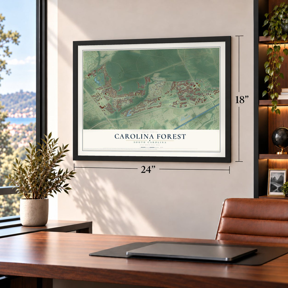
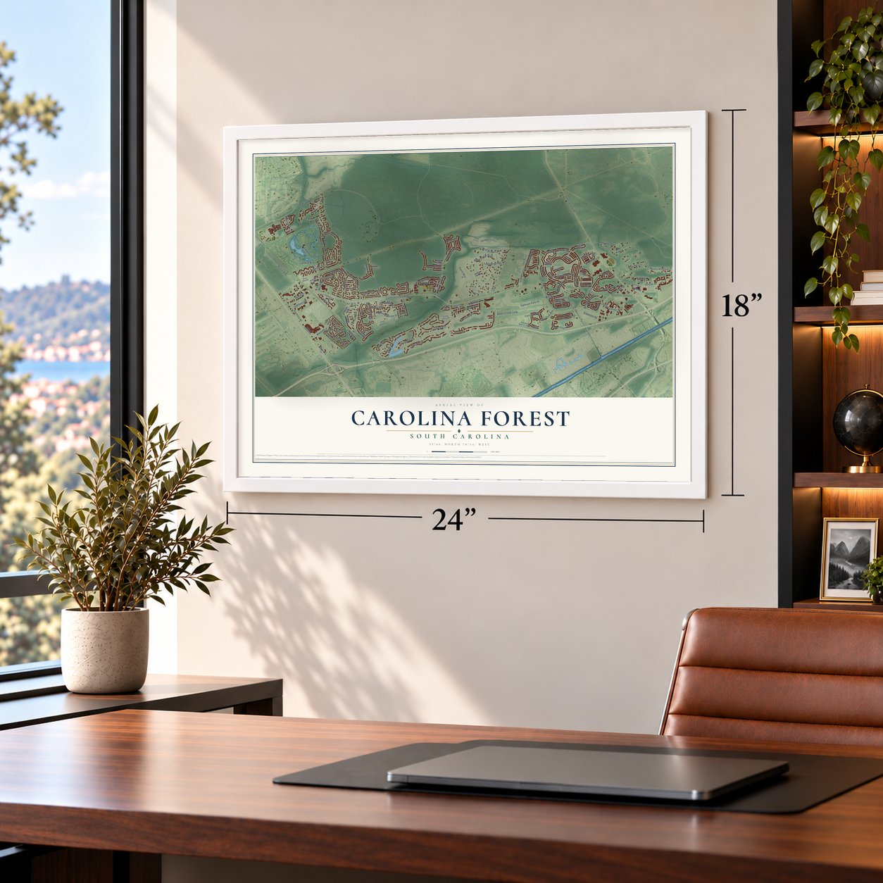
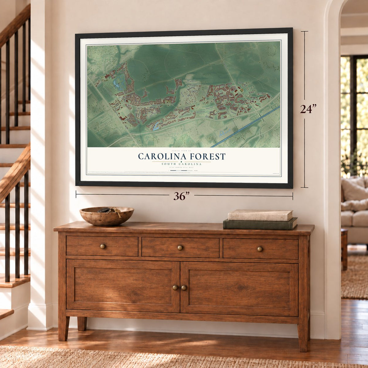
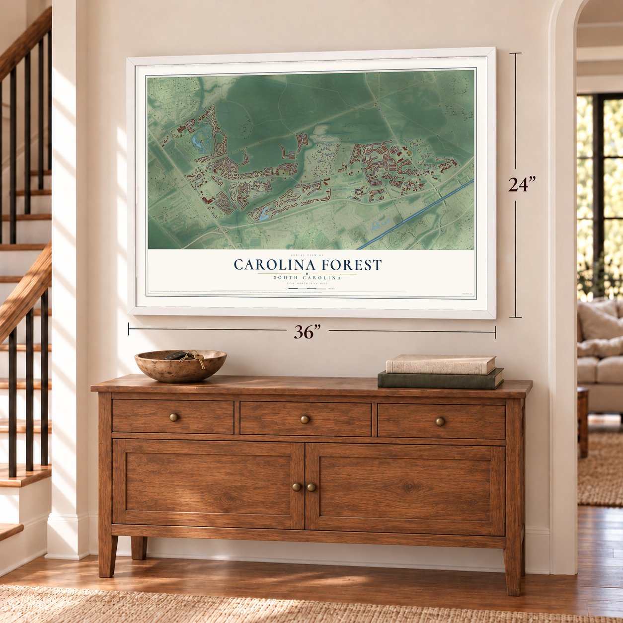
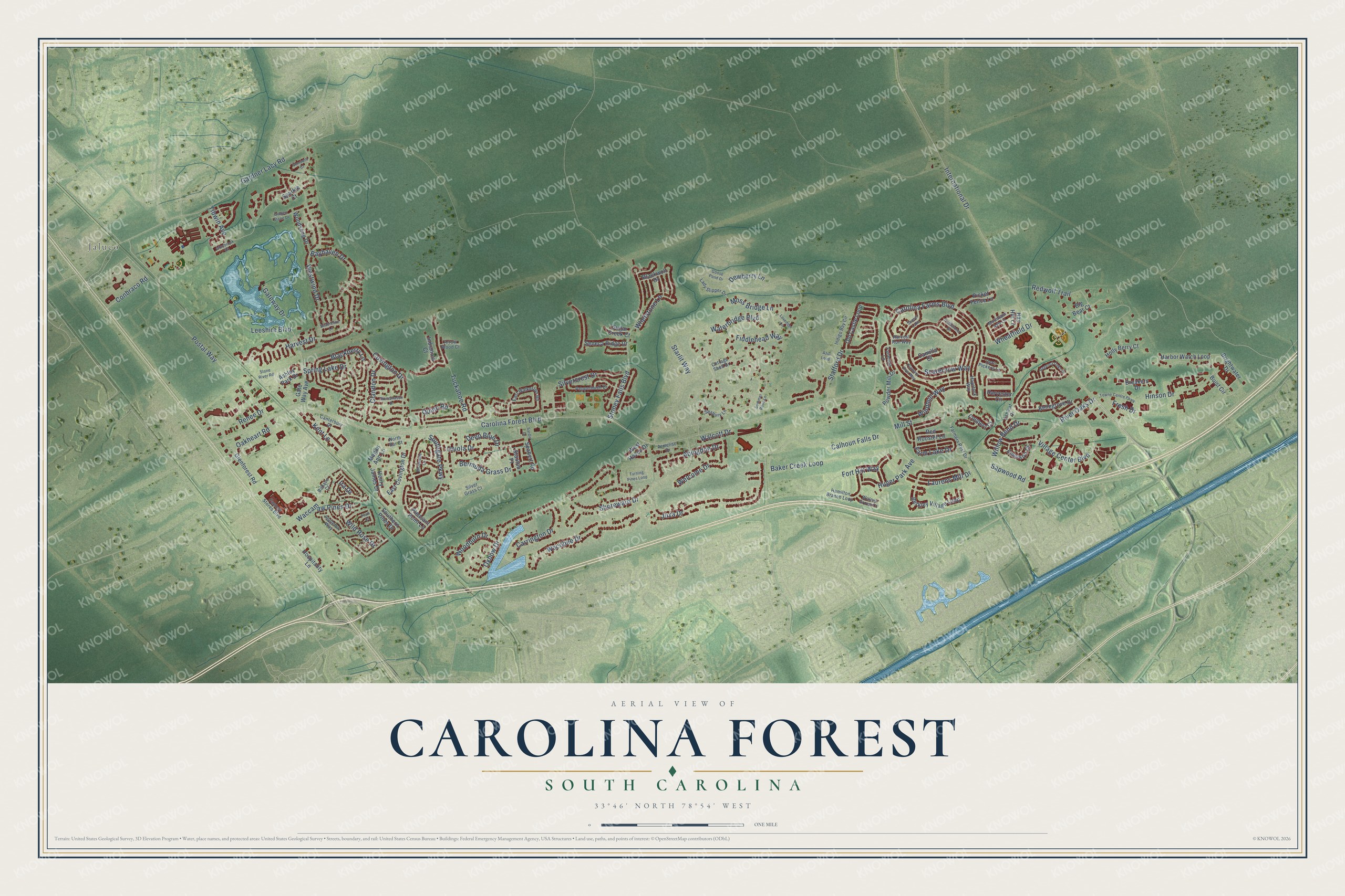
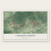
Carolina Forest, South Carolina Map Art
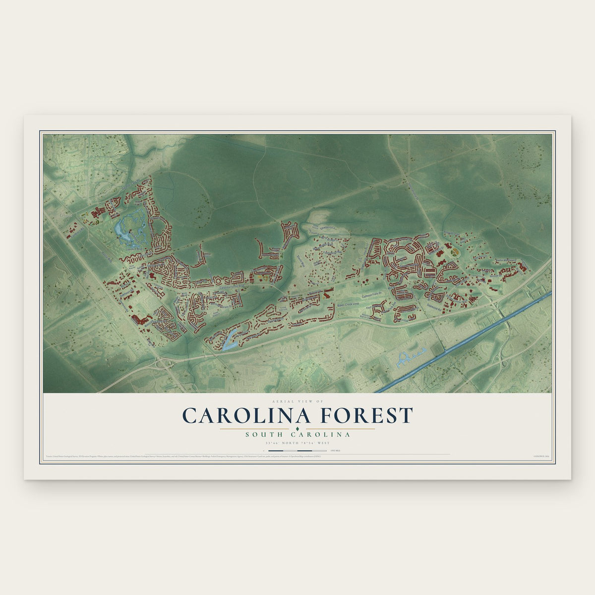
Building by building, with labeled streets and shaded relief.
12" x 18" Archival Matte Print
A Map of Home. A Work of Art.
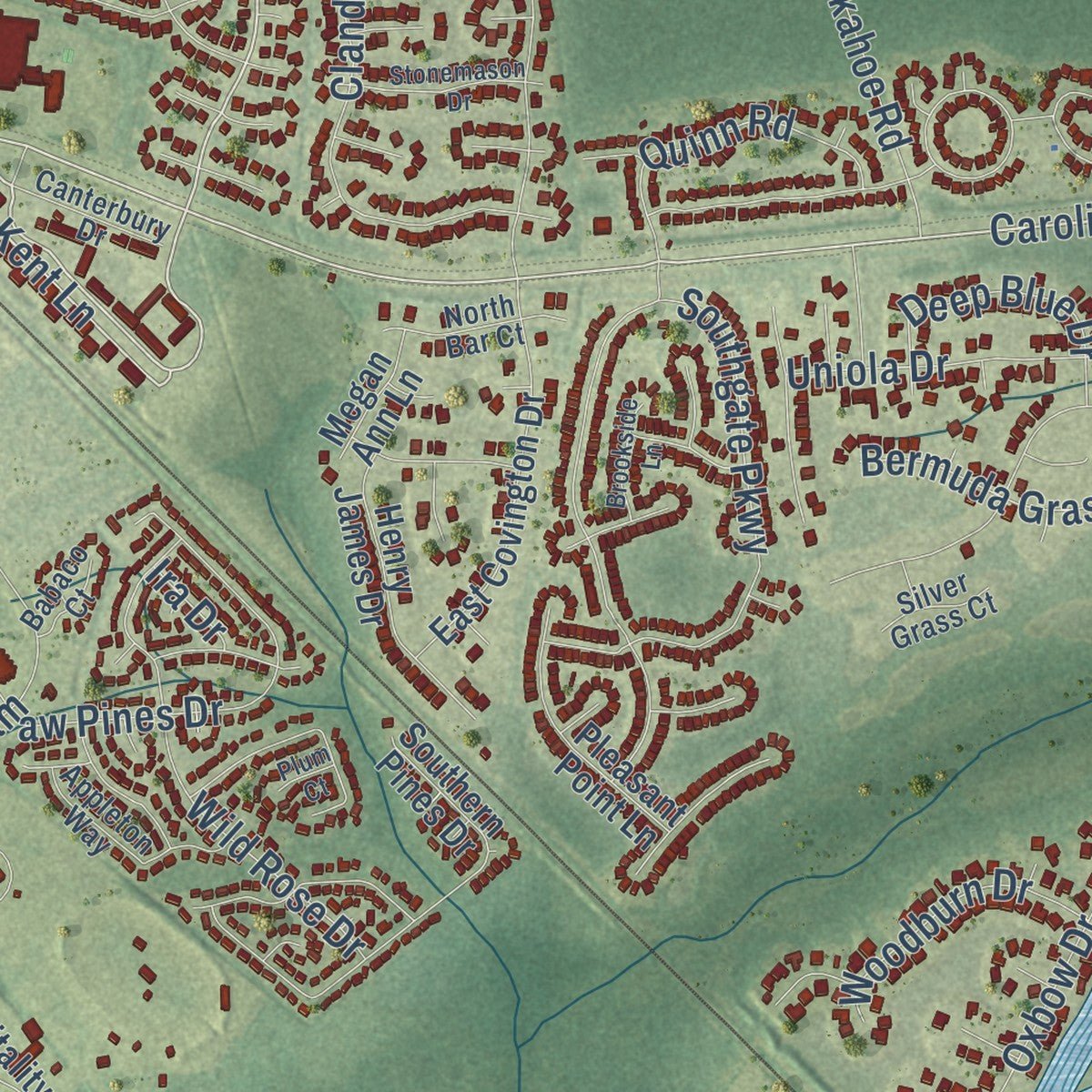
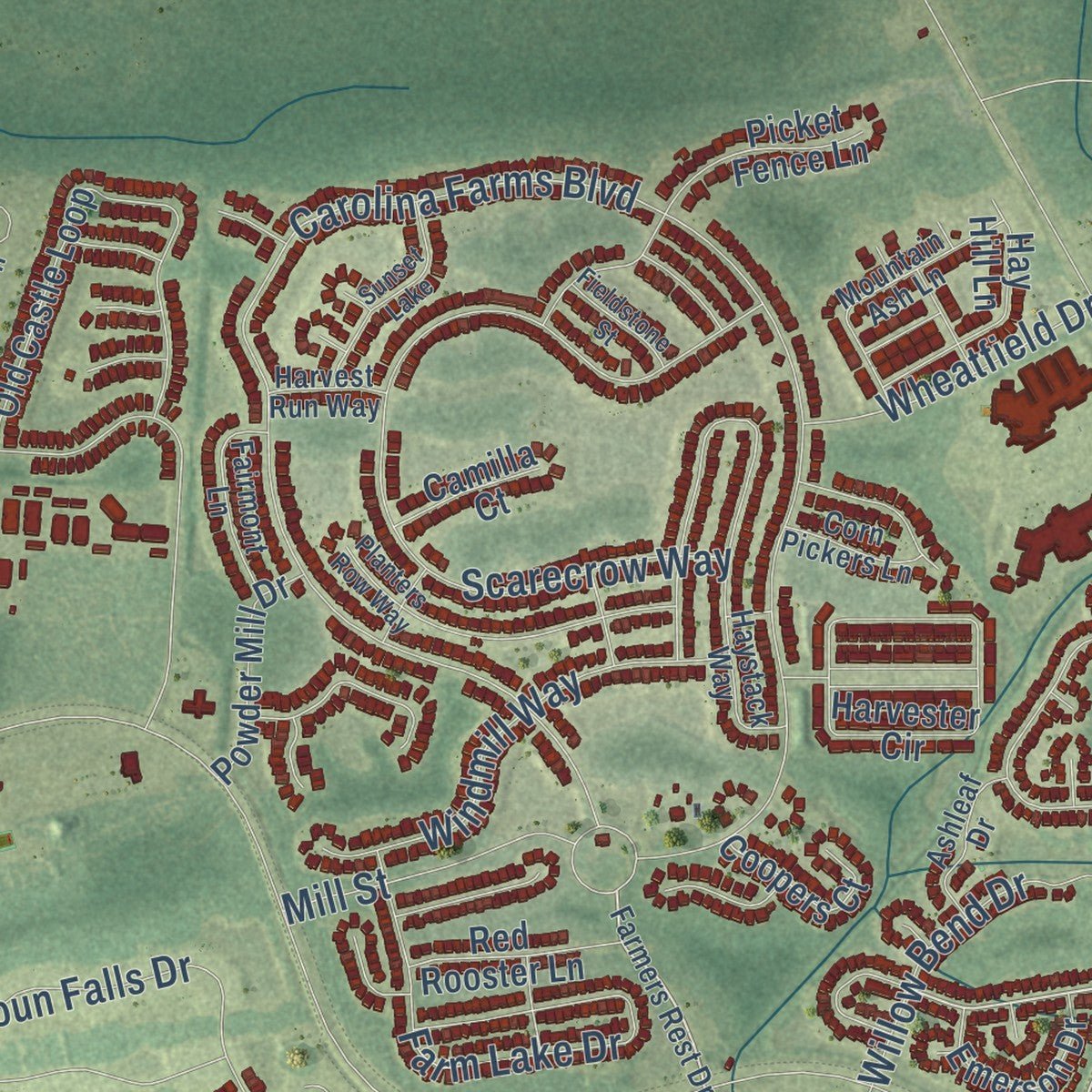
Explore Carolina Forest, South Carolina from a whole new perspective. Created using aerial imagery and detailed geographic data, this map captures Carolina Forest building by building, with labeled streets, familiar landmarks, and shaded topographical relief that highlights the natural contours of the landscape.
Combining modern data with the timeless character of a vintage atlas, this map is just as interesting up close as it is beautiful on the wall. Whether you grew up in Carolina Forest, spent memorable years there, or call it home today, this unique map is a great way to celebrate a place that means something to you. Zoom in on the preview to look for your street, and then order a print to put your memories on the wall.
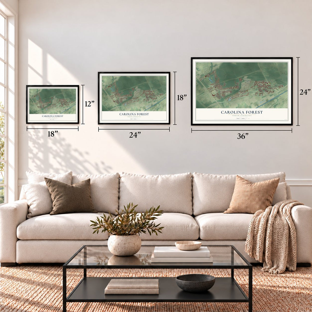
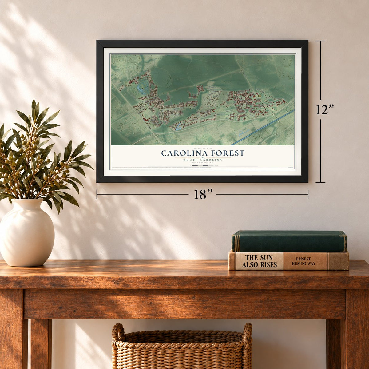
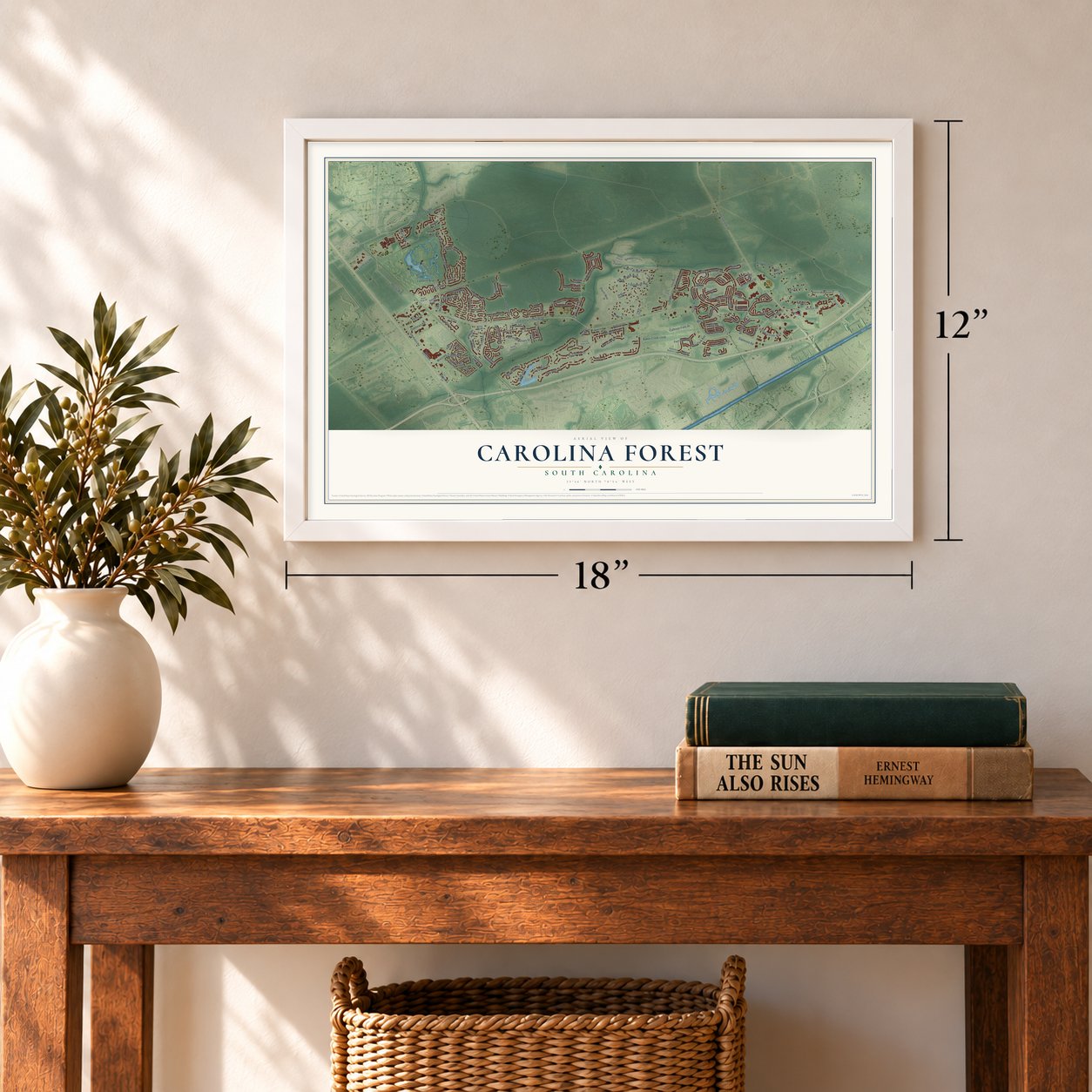
Three ways to hang it
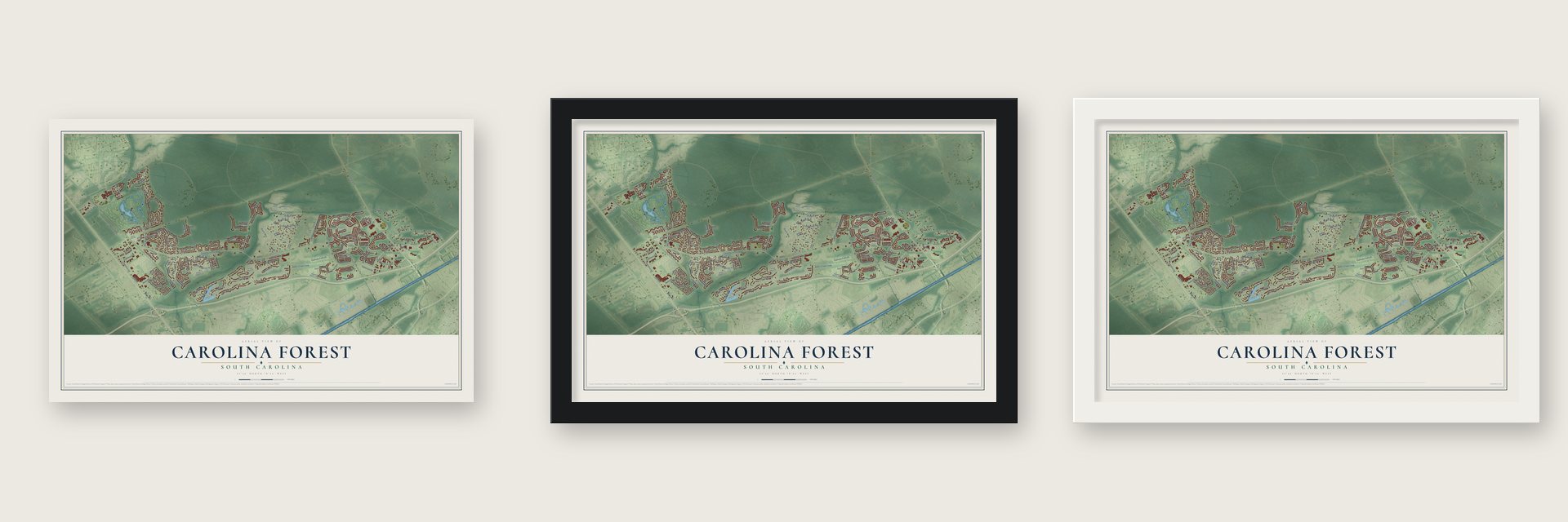
Unframed archival matte, a black wood frame or a white wood frame.
Up close
Geography Worth Displaying
This map was created using accurate cartographic data and authoritative geographic sources, including the U.S. Geological Survey and the Census Bureau. The map brings together terrain, waterways, roads, and building detail. The majority of the streets are labeled, houses are accurately depicted, and the topography is derived from government sources. Combining local data with carefully composed color and shading leads to this beautifully detailed Carolina Forest artwork for your wall.
Rather than simply showing street outlines, we’ve included as many of the street names as we could reasonably fit on the map while keeping their names legible. Zoom in on the high resolution preview to see exactly what’s on the map. We truly set out to create a statement piece for anyone who loves Carolina Forest. So whether it’s for you, or a gift for someone you love, we hope this map of Carolina Forest brings back fond memories.
Read the story behind this map of Carolina Forest, South Carolina from 2026.
Find your street
Names on the Carolina Forest map
Every name below is printed on this map. Look for your street, your school, the park where you played, or the pond down the road.
Places and landmarks2
- Jaluco
- Sunset Lake
Streets and roads139
- Carolina Forest Boulevard
- International Drive
- River Oaks Drive
- Spring Lake Drive
- Kent Lane
- Laurens Mill Drive
- Leeshire Boulevard
- Village Center Boulevard
- Postal Way
- Carolina Farms Boulevard
- Redwolf Trail
- Gardner Lacy Road
- Starlit Way
- Oxbow Drive
- Fiddlehead Way
- Moss Bridge Lane
- Southgate Parkway
- Waterbridge Boulevard
- Shoreward Drive
- Calhoun Falls Drive
- Tibwin Avenue
- Juxa Drive
- Westwind Drive
- Harvest Drive
- Scarecrow Way
- Stoney Falls Boulevard
- Stafford Drive
- Wacobee Drive
- Baker Creek Loop
- Waccamaw Pines Drive
Show all 139 streets
- Blackberry Lane
- Tuckahoe Road
- Farm Lake Drive
- Conbraco Road
- Silvercrest Drive
- Covington Drive
- Fort Hill Way
- Bayhaven Drive
- Clandon Drive
- Hinson Drive
- Windmill Way
- Welcome Drive
- Uniola Drive
- Carrington Drive
- Abingdon Drive
- Renee Drive
- Oakheart Road
- Huger Park Avenue
- Gateway Drive
- Willow Bend Drive
- Quinn Road
- Whetstone Lane
- Sapwood Road
- Bermuda Grass Drive
- Wild Rose Drive
- Deep Blue Drive
- Wheatfield Drive
- Woodburn Drive
- Mill Street
- Dewberry Lane
- Fresh Drive
- Walcott Drive
- Ira Drive
- Bellegrove Drive
- Harbor Watch Loop
- Old Castle Loop
- Brightwater Drive
- Seneca Ridge Drive
- Berkley Village Loop
- Southern Pines Drive
- Harvester Circle
- Hospitality Lane
- Gate Way Avenue
- East Covington Drive
- Picket Fence Lane
- Ashley Park Drive
- Glenforest Road
- Breakers Drive
- Henry James Drive
- Pleasant Point Lane
- Woodsong Drive
- Hay Hill Lane
- Emerson Drive
- Powder Mill Drive
- Holly Berry Court
- Red Rooster Lane
- Coopers Court
- Seabert Road
- Indianola Court
- Stanton Place
- Blackwolf Drive
- West Haven Drive
- Camilla Court
- Buist Circle
- Megan Ann Lane
- Sugar Creek Court
- Big Bear Court
- Sparkle Court
- Canterbury Drive
- Farmers Rest Drive
- Indigo Bay Circle
- Factory Stores Boulevard
- Haystack Way
- East Walkerton Road
- Hamilton Branch Loop
- Pepperbush Drive
- Lady Slipper Drive
- Appleton Way
- Mountain Ash Lane
- Fairmont Lane
- Ashleaf Drive
- Seabury Lane
- Corn Pickers Lane
- North Bar Court
- Walnut Grove Court
- Armelise Drive
- Arrow Wood Court
- Silver Grass Court
- Harvest Run Way
- Cottage Shell Drive
- Babaco Court
- Turning Pines Loop
- Planters Row Way
- Towne Centre Parkway
- Stone River Road
- Regency Oaks Drive
- Golden Stone Drive
- Lavender Lane
- Summer Rose Lane
- Stonemason Drive
- Seabreeze Lane
- Goose Pond Drive
- Sardis Drive
- Glenbrook Drive
- Azul Loop
- Fieldstone Street
- Brookside Lane
- Goodwill Court
- Plum Court
Names are listed as they appear on the printed map. Zoom into the product photos to find them.
About Carolina Forest, South Carolina
Carolina Forest is a community of 23,342 people in Horry County, between Conway and Myrtle Beach. Its land was once part of the Buist Tract, a 30,000-acre holding that Burroughs & Chapin owned before International Paper bought it in 1937. During World War II the tract was a piece of the Conway Bombing and Gunnery Range, and in 1960 the company gave part of it for what is now Coastal Carolina University.
International Paper began selling more of its land by the end of 1994. No one else would pay for roads, so the company built the first 1.25 miles of Carolina Forest Boulevard by November 1995. The boulevard was finished in December 1996 and River Oaks Drive in December 1997, forming an 11-mile loop that opened 11,000 acres to new building. The population then grew from 3,400 in 2000 to 21,000 by 2010.
- A zoning deal in 1997On December 2, 1997, the Horry County council voted 8 to 3 to freeze zoning rules across 11 square miles of Carolina Forest for 20 years. In return, International Paper gave land for parks and roads, including the route of SC Highway 31 near the Robert Grissom Parkway bridge, and about 140 acres for schools such as Ocean Bay Elementary and Middle. Planners expected 35,000 people to live on the 7,073 acres the deal covered.
- Schools came first in 1994In June 1994, 125 acres of the tract were sold to Horry County Schools to build Carolina Forest Elementary, Middle and High Schools. Another 350 acres were sold that year for a golf course and homes.
- NASCAR from 1958Myrtle Beach Speedway ran here from 1958 to 2020. NASCAR Cup Series races came to the track from 1958 to 1965, and from 1988 to 2000 it held the Myrtle Beach 250, a Busch Series race. The track was sold and torn down in 2020, and Victory Point now stands on the site.
- A preserve in 1989In 1989 about 9,000 acres north of Carolina Forest went to the state as the Lewis Ocean Bay Heritage Preserve. The community grew up among longleaf pine forests and savannas, on ground dotted with Carolina Bays, oval hollows thick with plants.
Keep exploring South Carolina
Carolina Forest is one of 540 South Carolina towns we've mapped. Every dot on the map is a print of its own.
The search covers every state, South Carolina first.
Near Carolina Forest
Order 2 or more town maps and save 10%. Shown in the size and finish you picked above, so they hang as a set.
- Myrtle Beach 12" x 18" / Archival Matte Print $39.99
- Forestbrook 12" x 18" / Archival Matte Print $39.99
- Red Hill 12" x 18" / Archival Matte Print $39.99
More maps nearby: Socastee, Lakewood, Briarcliffe Acres, Conway and Atlantic Beach.
The art of mapping a place
How This Map Was Made
Real places. Remarkable detail. Discover the layers that turn geographic data into a map of home.

The view from above
Aerial imagery reveals the character of the land: woodland, open fields, and the patterns of a place.

The shape of the land
Elevation data brings hills, valleys, and subtle changes in the landscape into view.

The details of home
Roads, waterways, and building footprints come together to make the map feel unmistakably local.

Geography becomes art
Considered color, shading, and typography bring the layers together in a map made for your wall.


Process illustrated with Mendon, Massachusetts. Aerial imagery: USDA NAIP. Terrain: USGS 3D Elevation Program. Map details and finished artwork: KNOWOL.
The Details
About This Print
Choose an archival matte print, or a black or white Ayous wood frame. The archival matte print is unframed.
Select your size and finish above to see the matching product image and price.
Materials & Craftsmanship
A contemporary map with the character of a classic atlas, printed on archival matte paper. Optional frames are made from Ayous wood.
Your printed map does not include the watermark shown in the full-map preview.
Shipping & Delivery
Free shipping within the United States. Every print is made to order in the USA.
Buying a gift? Add a note in your cart and we'll include it. We never put prices in the package.
Prints ship within 2 to 3 business days. Allow 7 to 10 days total from ordering for delivery. Timing may vary during holidays or periods of high order volume.
Read our shipping policy.
Returns and damaged prints
Each print is made to order. Change-of-mind refunds are not available after production.
If your print arrives damaged, misprinted or incorrect, contact support@knowol.com within 30 days of receiving it. Include your order number, photos and a description of the issue.
Read our full refund and replacement policy. For questions about your order, email support@knowol.com.