
Search for another town
Free U.S. delivery 7 to 10 days after you order
Conway, South Carolina Map Art
Building by building, with labeled streets and shaded relief.
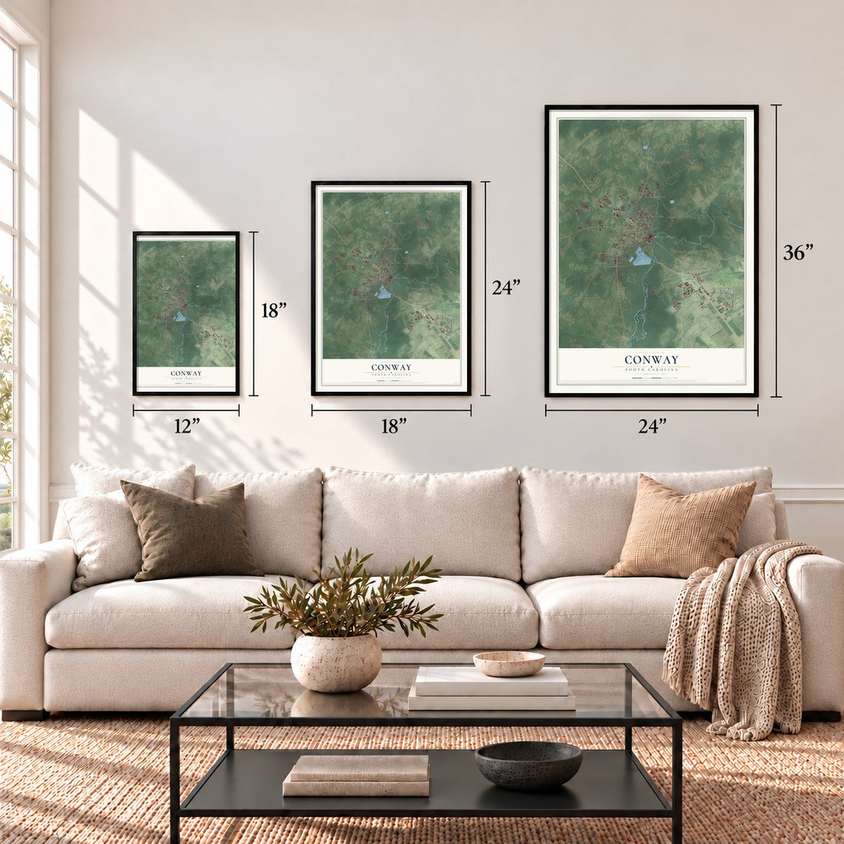
12" x 18" Archival Matte Print
A Map of Home. A Work of Art.
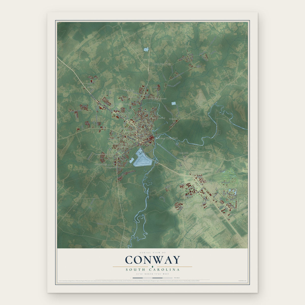
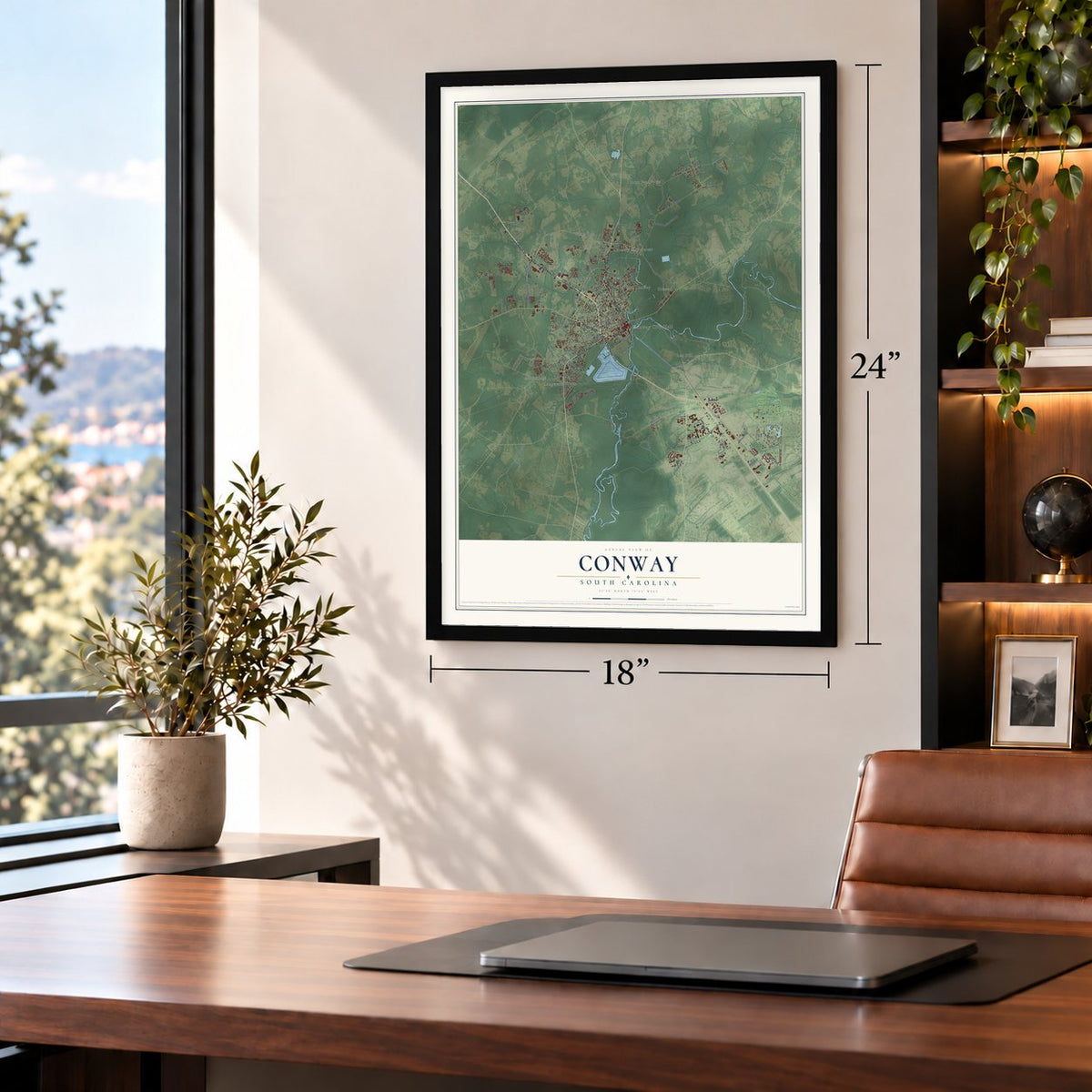
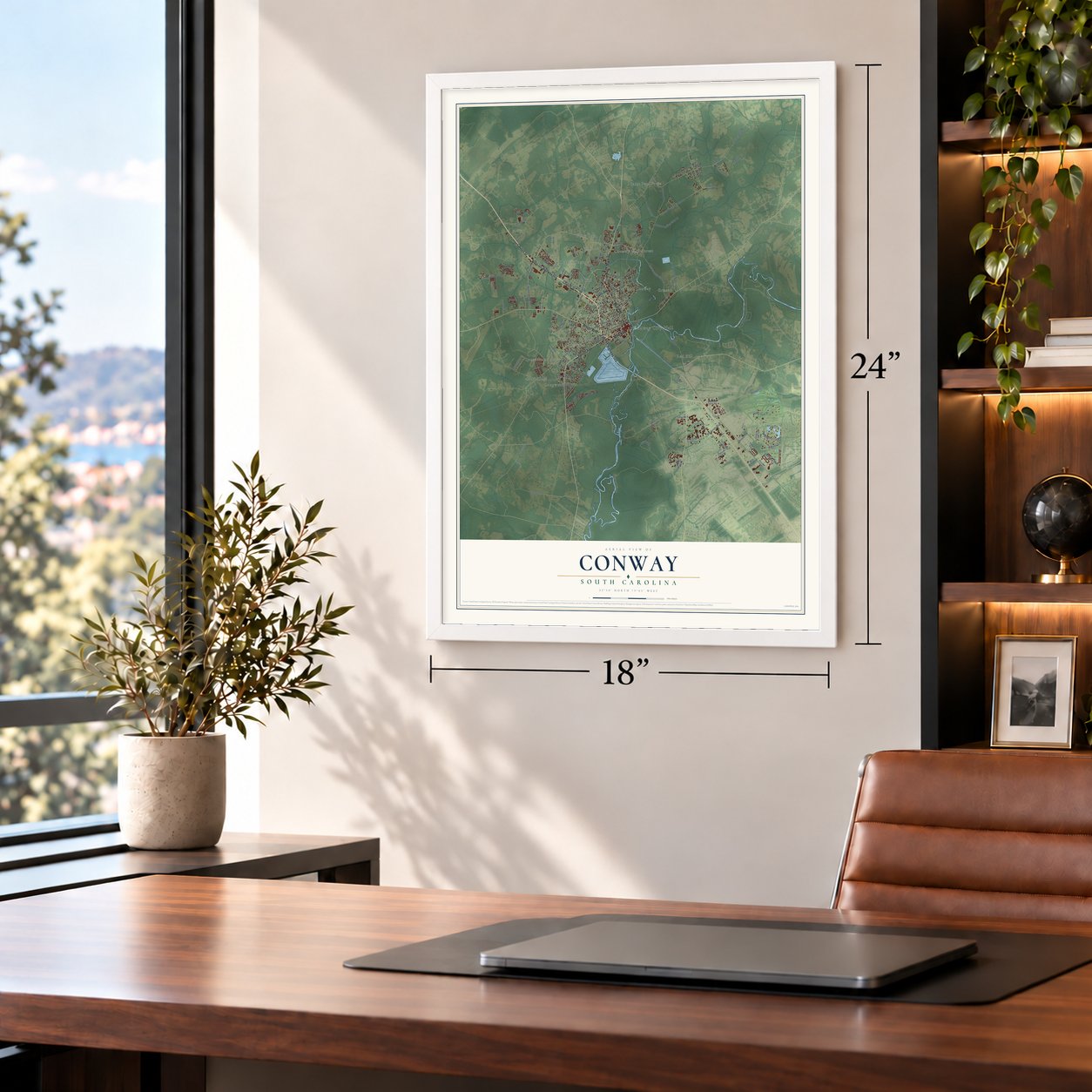
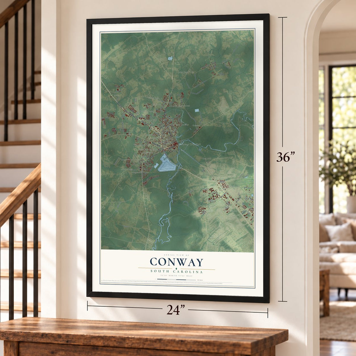
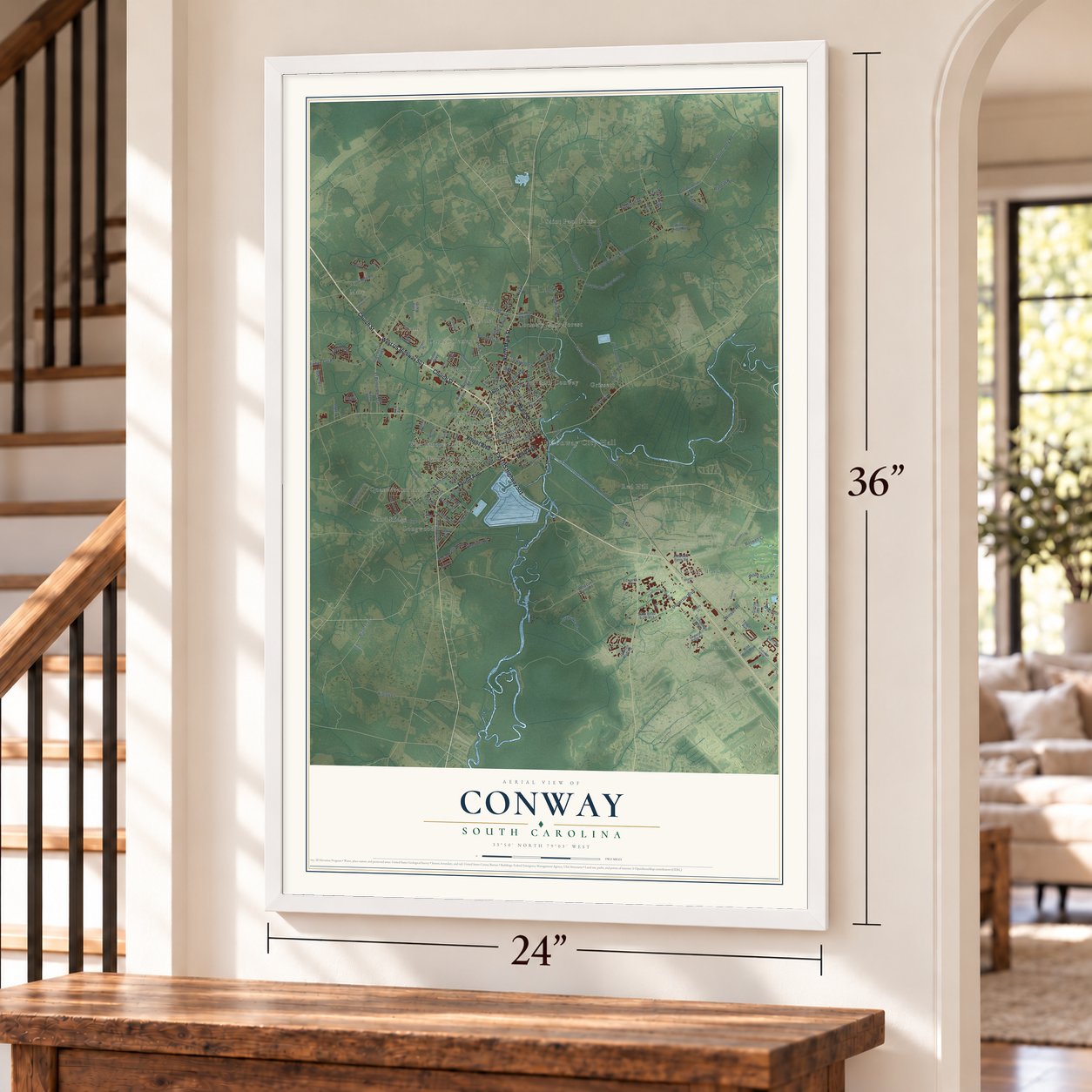
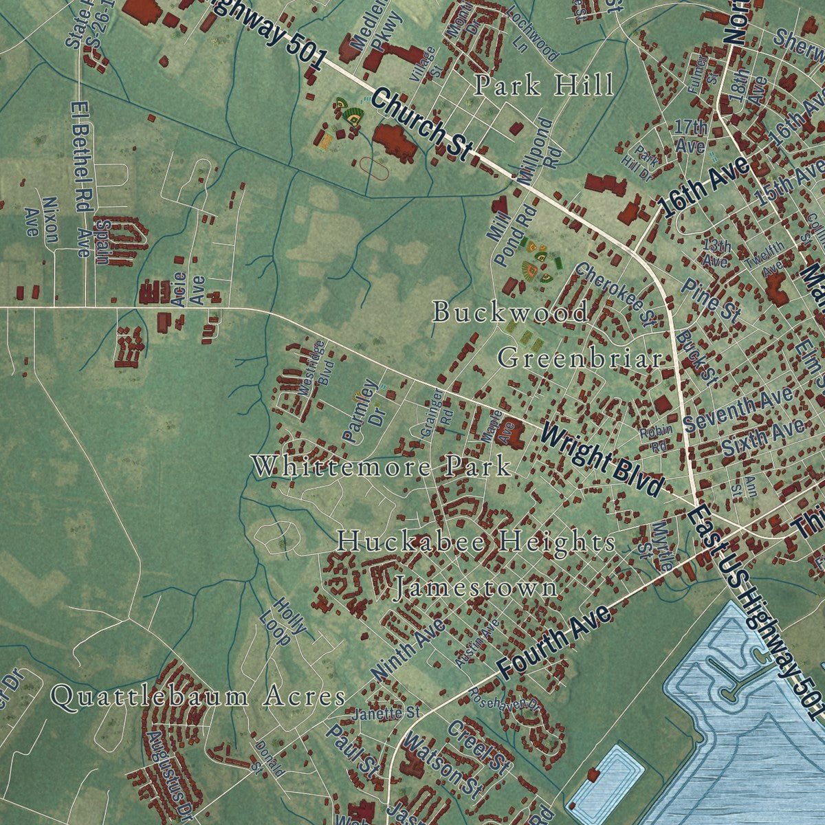
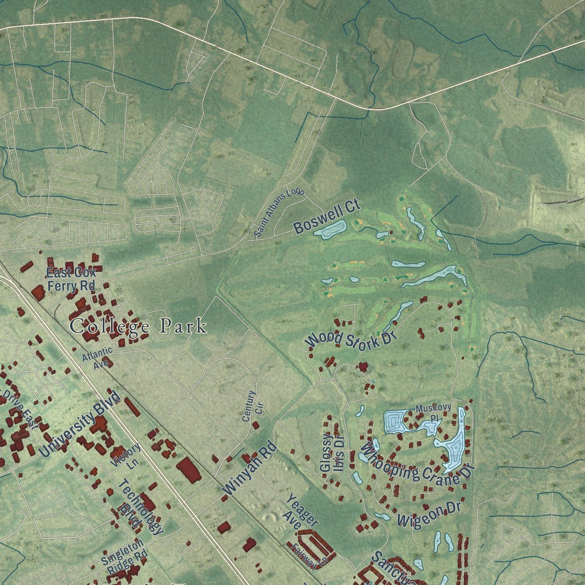
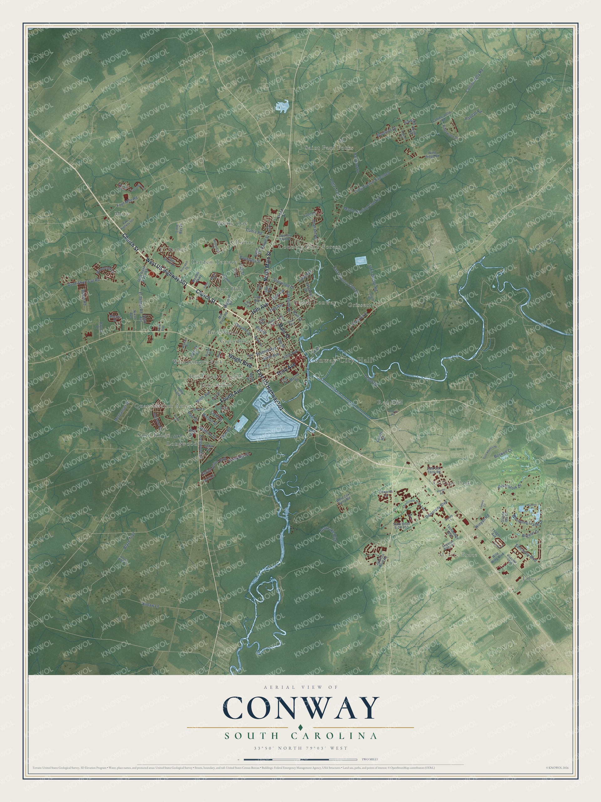
Explore Conway, South Carolina from a whole new perspective. Created using aerial imagery and detailed geographic data, this map captures Conway building by building, with labeled streets, familiar landmarks, and shaded topographical relief that highlights the natural contours of the landscape.
Combining modern data with the timeless character of a vintage atlas, this map is just as interesting up close as it is beautiful on the wall. Whether you grew up in Conway, spent memorable years there, or call it home today, this unique map is a great way to celebrate a place that means something to you. Zoom in on the preview to look for your street, and then order a print to put your memories on the wall.
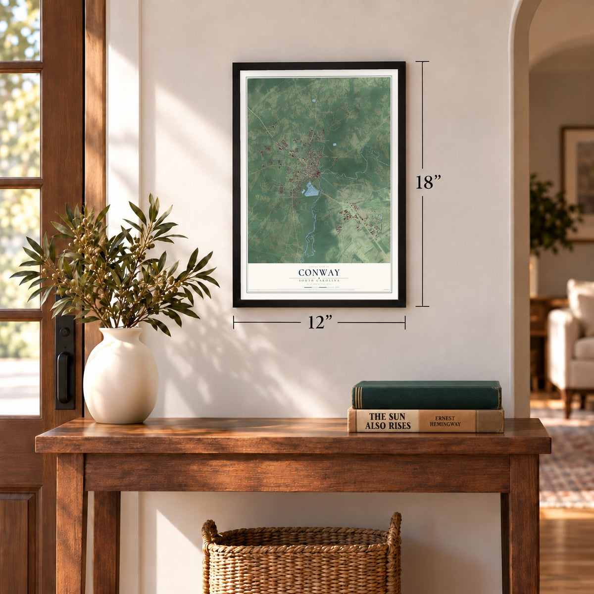
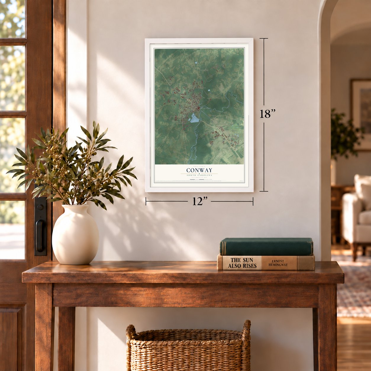
Three ways to hang it
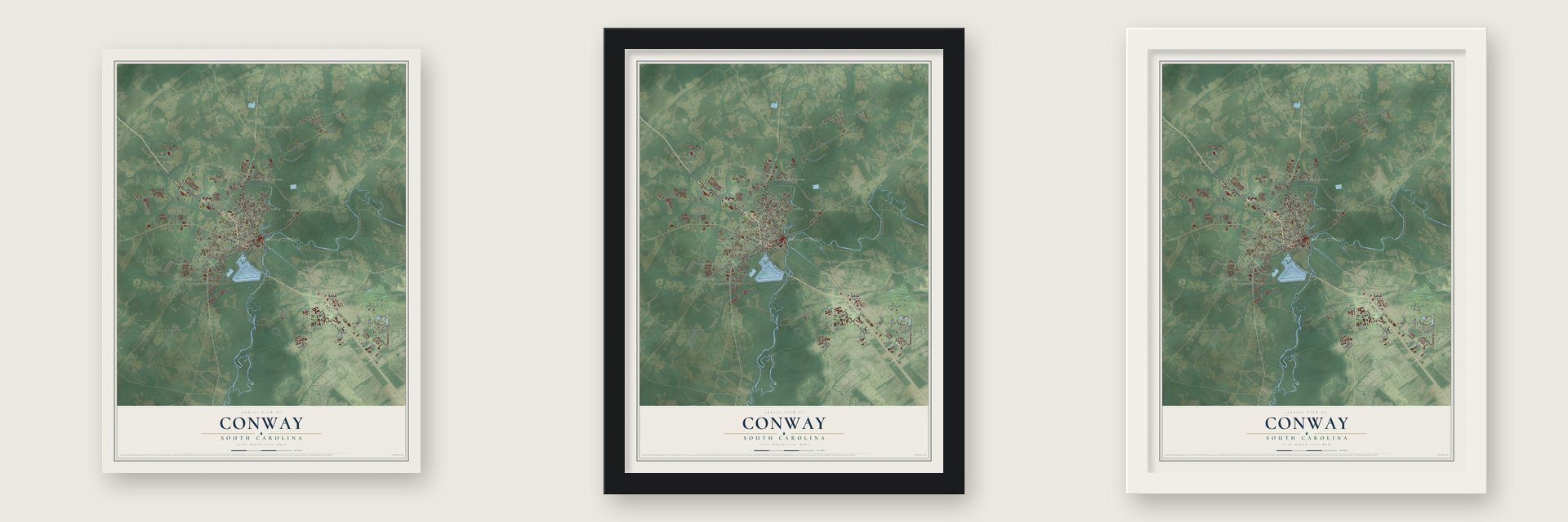
Unframed archival matte, a black wood frame or a white wood frame.
Up close
Geography Worth Displaying
This map was created using accurate cartographic data and authoritative geographic sources, including the U.S. Geological Survey and the Census Bureau. The map brings together terrain, waterways, roads, and building detail. The majority of the streets are labeled, houses are accurately depicted, and the topography is derived from government sources. Combining local data with carefully composed color and shading leads to this beautifully detailed Conway artwork for your wall.
Rather than simply showing street outlines, we’ve included as many of the street names as we could reasonably fit on the map while keeping their names legible. Zoom in on the high resolution preview to see exactly what’s on the map. We truly set out to create a statement piece for anyone who loves Conway. So whether it’s for you, or a gift for someone you love, we hope this map of Conway brings back fond memories.
Read the story behind this map of Conway, South Carolina from 2026.
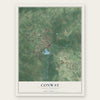
Find your street
Names on the Conway map
Every name below is printed on this map. Look for your street, your school, the park where you played, or the pond down the road.
Places and landmarks23
- Conway City Hall
- Myrtle Trace
- Buckwood
- Chicora
- College Park
- Country Club Forest
- Darden Terrace
- El Bethel
- Greenbriar
- Grissett
- Huckabee Heights
- Jaluco
Show all 23 places
- Jamestown
- Longwood
- Mary
- North Conway
- Park Hill
- Quattlebaum Acres
- Red Hill
- Saint Paul Forks
- Sand Ridge
- White Oak
- Whittemore Park
Streets and roads146
- Church Street
- East US Highway 501
- West US Highway 501
- North Main Street
- 16th Avenue
- Fourth Avenue
- Wright Boulevard
- Main Street
- Third Avenue
- Dunn Short Cut Road
- Cultra Road
- East Country Club Drive
- El Bethel Road
- 15th Avenue
- Collins-Jolly Road
- University Boulevard
- Long Avenue Extended
- Ninth Avenue
- Oak Street
- Elm Street
- Depot Road
- Sherwood Drive
- Blaze Trail
- Wood Stork Drive
- New Road
- Sixth Avenue
- Creel Street
- Whooping Crane Drive
- Gray Lake Boulevard
- Fifth Avenue
Show all 146 streets
- Lakeside Drive
- Merganser Drive
- Long Avenue
- Four Mile Road
- Longwood Lane
- Seventh Avenue
- Sanctuary Boulevard
- John Doctor Road
- Winyah Road
- Maple Hunting Club Road
- Pottz Trail
- Graham Road
- Randall Road
- Pecan Grove Boulevard
- Wigeon Drive
- Jasmine Drive
- Kinlaw Lane
- Liz Lane
- Boswell Court
- Bradford Drive
- Boundary Street
- Pineridge Street
- Pine Street
- Hart Street
- Boker Road
- Watson Street
- Paul Street
- Siwel Road
- Aaron Street
- Country Club Drive
- Collins-Jollie Road
- State Road S-26-165
- Wild Wing Boulevard
- Medlen Parkway
- Millpond Road
- Ridgewood Drive
- State Road S-26-953
- East Cox Ferry Road
- Holly Loop
- Lakeland Drive
- Jackson Bluff Road
- Mill Pond Road
- Rainwood Road
- 17th Avenue
- Tiger Grand Drive
- West Cox Ferry Road
- Augustus Drive
- Glass Hill Drive
- Little Bay Drive
- Woodcreek Lane
- Technology Boulevard
- Wind Ridge Road
- 18th Avenue
- Cherokee Street
- Parmley Drive
- Long Road
- Glossy Ibis Drive
- Nixon Avenue
- Claridy Road
- Edwards Lane
- Regal Road
- Yeager Avenue
- Cedar Lane
- Dayton Drive
- Inlet Lane
- Blake Street
- Macala Drive
- Acie Avenue
- Buck Street
- Marina Drive
- Myrtle Street
- Web Street
- Spain Avenue
- Broad Street
- Tenth Avenue
- Chanticleer Drive East
- Riverport Drive
- Lochwood Lane
- Sellers Road
- Kiskadee Loop
- 13th Avenue
- Janette Street
- Marley Street
- Singleton Ridge Road
- East Highway 501
- Victory Lane
- McDougall Drive
- Dobros Road
- Lite Street
- First Avenue
- Monti Drive
- Century Circle
- Atlantic Avenue
- Twelfth Avenue
- Grainger Road
- Rosehaven Drive
- Ivy Glen Drive
- Donald Street
- Westridge Boulevard
- Saint Albans Loop
- Fairway Lane
- Park Hill Drive
- Collins Street
- Hagwood Circle
- Hamilton Way
- Country Manor Drive
- Maple Avenue
- Austin Avenue
- Village Street
- Muscovy Place
- Wayna Marie Lane
- Hare Street
- Robin Road
- Fulmer Street
- Tom Drive
- Ann Street
Names are listed as they appear on the printed map. Zoom into the product photos to find them.
About Conway, South Carolina
Conway is a city of 24,849 people and the county seat of Horry County. It sits on a bluff on the west bank of the Waccamaw River, about 14 miles from the Atlantic Ocean. The town began in 1732 under Royal Governor Robert Johnson's Township Scheme. Its English settlers first called it Kings Town, then switched to Kingston.
When Horry County was formed in 1801, its courthouse went to Kingston. The town later took the name Conwayborough to honor General Robert Conway, a local hero. In 1883 the South Carolina General Assembly shortened the name to Conway.
- From royal birthdays to rebellionIn the town's early decades, from the 1730s into the 1750s, settlers here liked King George II, and they treated his birthday as one of the year's biggest holidays. George III, who followed him, soon fell out of favor. By the 1770s the mostly English settlers of Kingston had sided with the Charleston rebels against taxation without representation, and the town celebrated when Royal Governor Lord William Campbell fled Charleston.
- The Swamp Fox across the riverMany local men fought in the American Revolution, and small battles broke out near Kingston at Bear Bluff and Black Lake. Francis Marion, the "Swamp Fox," kept a camp just across the Waccamaw from town. Even so, the Kingston area had more Tories than many other colonial towns.
- A courthouse and ten old homesThe Old Horry County Courthouse joined the National Register in 1971, and Burroughs School followed in 1984. In 1986 came the H. W. Ambrose, Beaty-Little, Beaty-Spivey, Arthur M. Burroughs, J. W. Holliday Jr., C. P. Quattlebaum, Paul Quattlebaum and W. H. Winborne houses, the C. P. Quattlebaum Office and the 1898 and 1910 sanctuaries of Conway Methodist Church.
- City Hall by Robert MillsConway's City Hall was designed by Robert Mills, the architect of the Washington Monument. After the Main Street USA project of the 1980s, shops and bistros came back to downtown. The Riverwalk now lines a stretch of the Waccamaw with restaurants.
- Coastal Carolina's hometownConway is home to Coastal Carolina University and Horry-Georgetown Technical College. Notable people from Conway include William Gibson, the author credited as the father of cyberpunk science fiction, and Scott Bessent, the 79th United States Secretary of the Treasury.
Keep exploring South Carolina
Conway is one of 540 South Carolina towns we've mapped. Every dot on the map is a print of its own.
The search covers every state, South Carolina first.
Near Conway
Order 2 or more town maps and save 10%. Shown in the size and finish you picked above, so they hang as a set.
- Homewood 12" x 18" / Archival Matte Print $39.99
- Red Hill 12" x 18" / Archival Matte Print $39.99
- Forestbrook 12" x 18" / Archival Matte Print $39.99
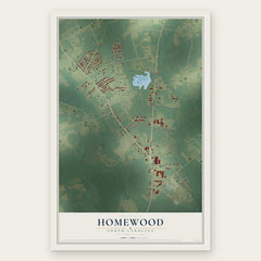
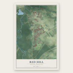
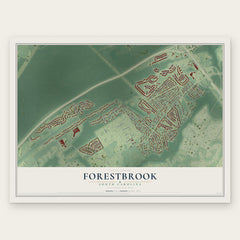
More maps nearby: Carolina Forest, Socastee, Bucksport, Myrtle Beach and Lakewood.
The art of mapping a place
How This Map Was Made
Real places. Remarkable detail. Discover the layers that turn geographic data into a map of home.

The view from above
Aerial imagery reveals the character of the land: woodland, open fields, and the patterns of a place.

The shape of the land
Elevation data brings hills, valleys, and subtle changes in the landscape into view.

The details of home
Roads, waterways, and building footprints come together to make the map feel unmistakably local.

Geography becomes art
Considered color, shading, and typography bring the layers together in a map made for your wall.


Process illustrated with Mendon, Massachusetts. Aerial imagery: USDA NAIP. Terrain: USGS 3D Elevation Program. Map details and finished artwork: KNOWOL.
The Details
About This Print
Choose an archival matte print, or a black or white Ayous wood frame. The archival matte print is unframed.
Select your size and finish above to see the matching product image and price.
Materials & Craftsmanship
A contemporary map with the character of a classic atlas, printed on archival matte paper. Optional frames are made from Ayous wood.
Your printed map does not include the watermark shown in the full-map preview.
Shipping & Delivery
Free shipping within the United States. Every print is made to order in the USA.
Buying a gift? Add a note in your cart and we'll include it. We never put prices in the package.
Prints ship within 2 to 3 business days. Allow 7 to 10 days total from ordering for delivery. Timing may vary during holidays or periods of high order volume.
Read our shipping policy.
Returns and damaged prints
Each print is made to order. Change-of-mind refunds are not available after production.
If your print arrives damaged, misprinted or incorrect, contact support@knowol.com within 30 days of receiving it. Include your order number, photos and a description of the issue.
Read our full refund and replacement policy. For questions about your order, email support@knowol.com.