
Search for another town


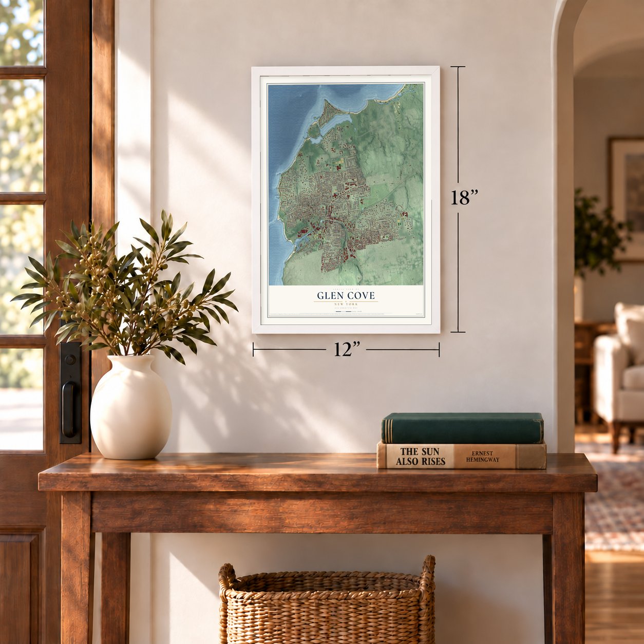
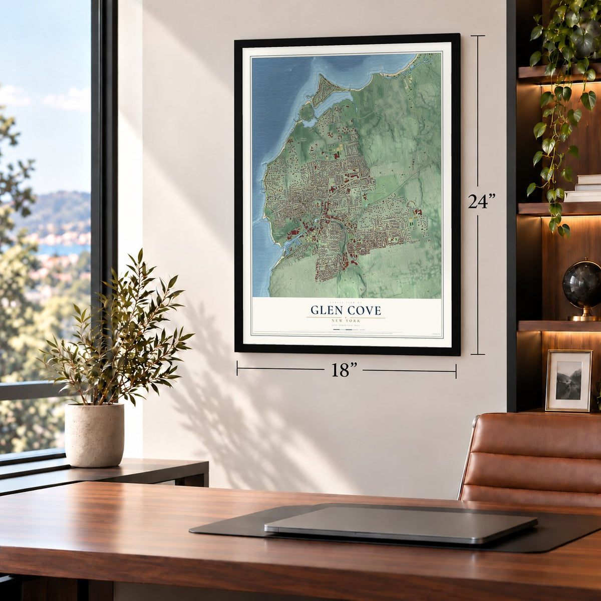
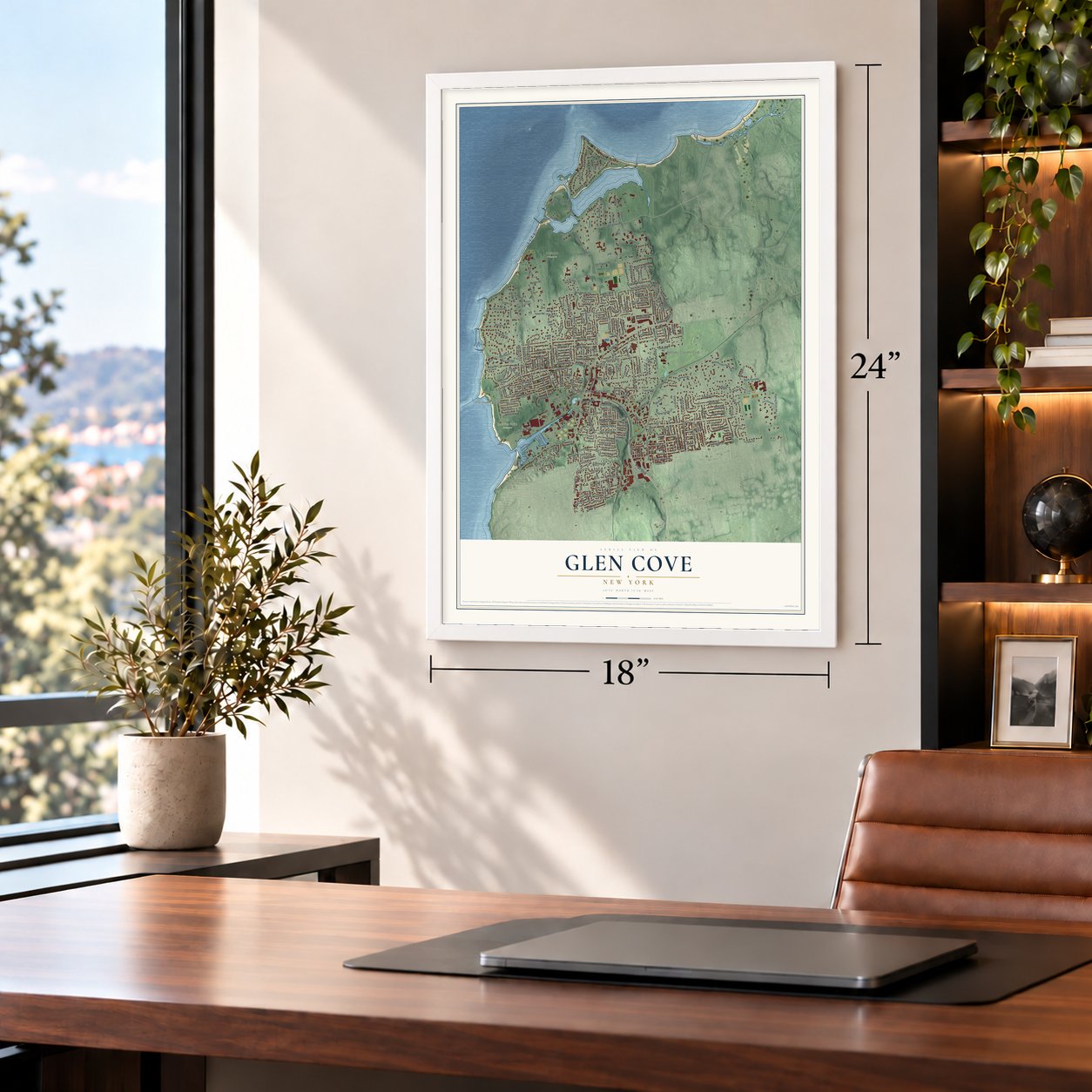

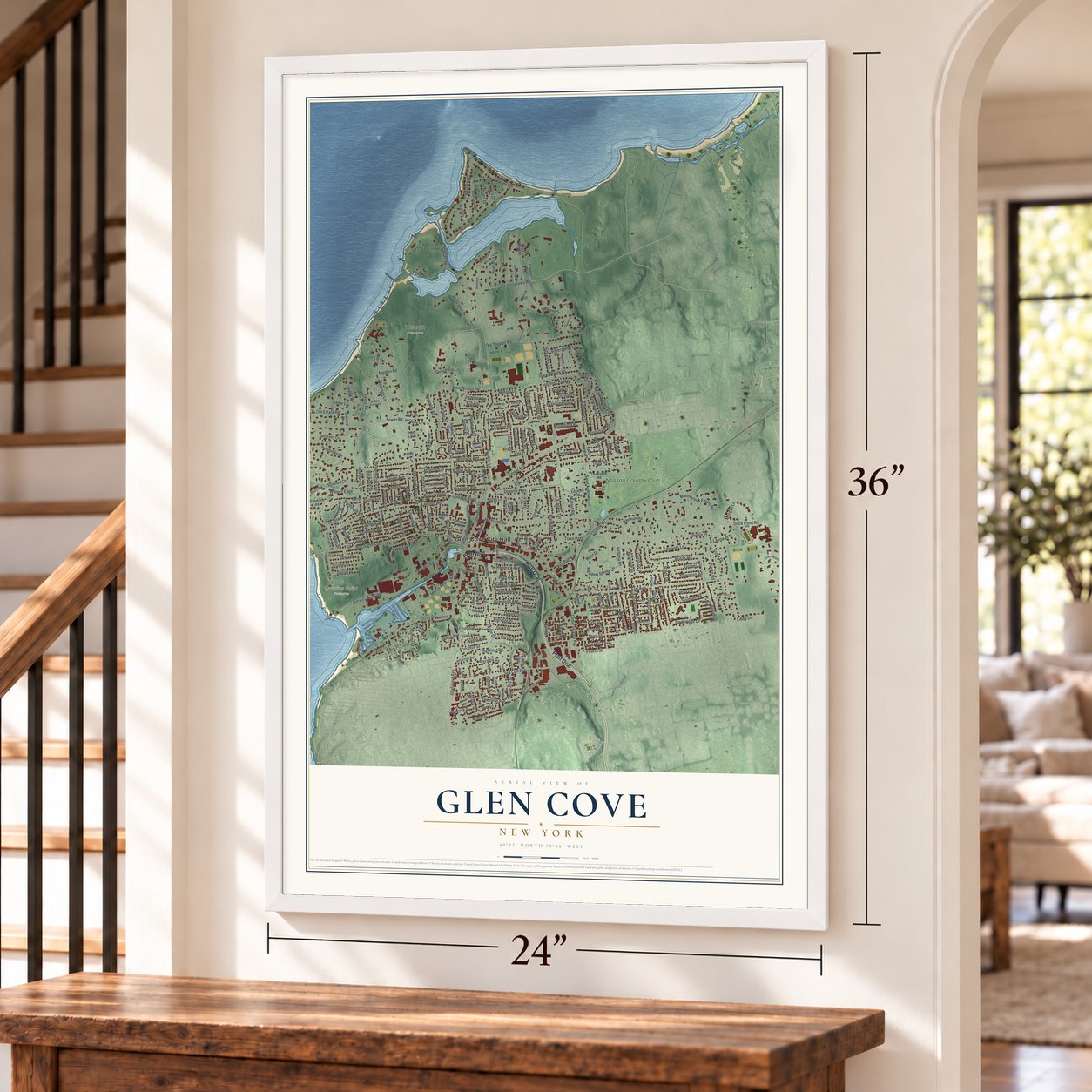
Free U.S. delivery 7 to 10 days after you order
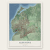
Glen Cove, New York Map Art
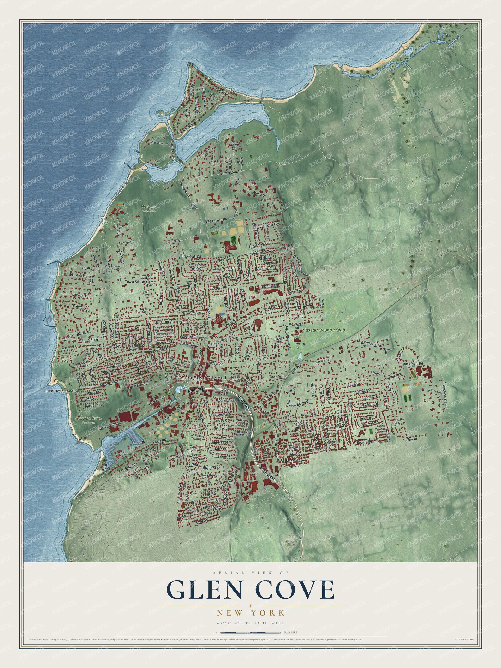
A new map of Glen Cove, New York, made in 2026 and printed to order on thick archival matte paper.
12" x 18" Archival Matte Print
A Map of Home. A Work of Art.
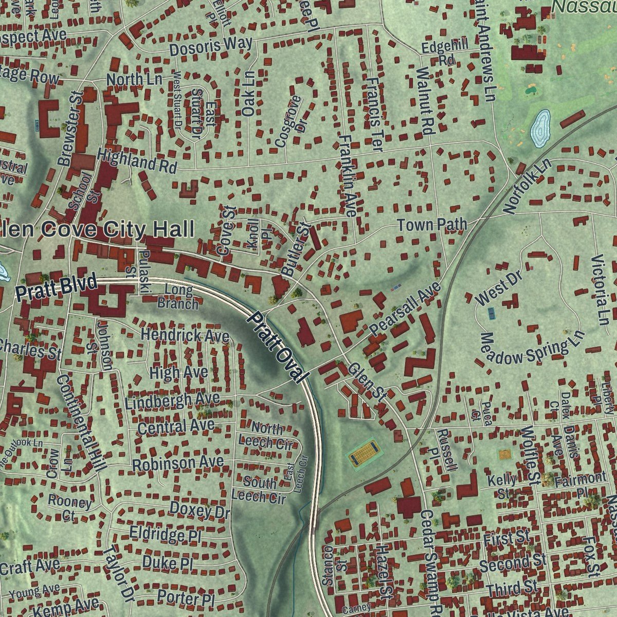
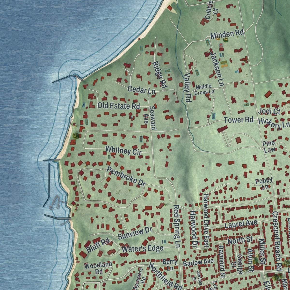
Explore Glen Cove, New York from a whole new perspective. Created using aerial imagery and detailed geographic data, this map captures Glen Cove building by building, with labeled streets, familiar landmarks, and shaded topographical relief that highlights the natural contours of the landscape.
Combining modern data with the timeless character of a vintage atlas, this map is just as interesting up close as it is beautiful on the wall. Whether you grew up in Glen Cove, spent memorable years there, or call it home today, this unique map is a great way to celebrate a place that means something to you. Zoom in on the preview to look for your street, and then order a print to put your memories on the wall.
Three ways to hang it
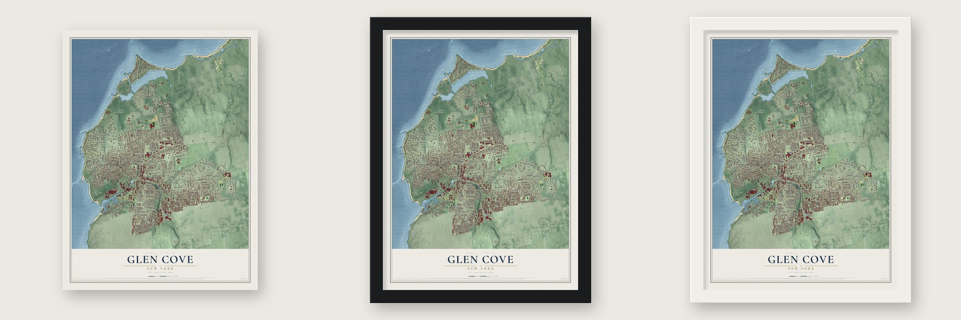
Unframed archival matte, a black wood frame or a white wood frame.
Up close
Geography Worth Displaying
This map was created using accurate cartographic data and authoritative geographic sources, including the U.S. Geological Survey (USGS) and FEMA. The map brings together terrain, waterways, roads, and building detail. The majority of the streets are labeled, houses are accurately depicted, and the topography is derived from government sources. Combining local data with carefully composed color and shading leads to this beautifully detailed Glen Cove artwork for your wall.
Rather than simply showing street outlines, we’ve included as many of the street names as we could reasonably fit on the map while keeping their names legible. Zoom in on the high resolution preview to see exactly what’s on the map. We truly set out to create a statement piece for anyone who loves Glen Cove. So whether it’s for you, or a gift for someone you love, we hope this map of Glen Cove brings back fond memories.
Explore the full map of Glen Cove, New York and read about the local places it shows.
About Glen Cove, New York
Glen Cove is a city of 28,365 people on Long Island's North Shore, in Nassau County, where the Matinecock lived when Europeans arrived. In 1668 Joseph Carpenter, who came from Warwick, Rhode Island, bought about 2,000 acres from them. He took in four Oyster Bay men as partners, the brothers Nathaniel, Daniel and Robert Coles and Nicholas Simkins, and these Five Proprietors called their settlement Musketa Cove Plantation, from a Lenape word for a place of rushes.
Steamboats began running between New York City and the cove in the 1830s, tying up at a spot still known as The Landing. People kept confusing Musketa with mosquito, so in 1834 residents made the new name Glen Cove official, reportedly from a misheard suggestion of Glencoe. Workers came for jobs at the Duryea Corn Starch factory, and after the Long Island Rail Road reached Glen Cove in 1867, more families settled here year-round.
- A city since 1918Glen Cove was part of the Town of Oyster Bay for 250 years. It paid a large share of the town's taxes, but residents felt the police and roads they got back were inadequate, and they wanted their money spent at home. Independence came with the new year, on January 1, 1918, when Glen Cove became a city of its own, an unusual step for a place that had never been an incorporated village.
- Shots at the Morgan mansionIn 1909 the financier J.P. Morgan Jr. bought East Island, off the Glen Cove shore, and built a 41-room mansion. On the morning of July 3, 1915, a gunman got into the house while Morgan, his wife and British Ambassador Sir Cecil Spring Rice ate breakfast, and he shot Morgan twice. The gunman, Erich Muenter, was a former Harvard instructor using a false name. He was arraigned at the Oyster Bay courthouse, now the North Shore Historical Museum.
- The Pratt estatesCharles Pratt and his sons were among the wealthy industrialists drawn to the rolling hills above the Sound, and five Pratt families came to own about 5,000 acres here. In 1945 the Webb Institute bought Herbert L. Pratt's estate, The Braes, and its college of naval architecture and engineering had moved in two years later, in 1947. John Teele Pratt's house, The Manor, is now the Glen Cove Mansion Hotel and Conference Center.
- Khrushchev and Castro in 1960In 1951 the Soviet Union bought Killenworth, George DuPont Pratt's estate, to house visitors and staff of its United Nations delegation. In 1960 Nikita Khrushchev, premier of the Soviet Union, and Fidel Castro, president of Cuba, came to New York for UN meetings, and both of them stayed at Killenworth.
Find your street
Names on the Glen Cove map
Every name below is printed on this map. Look for your street, your school, the park where you played, or the pond down the road.
Places and landmarks5
- Glen Cove City Hall
- Glen Cove Landing
- Garvies Point Preserve
- Welwyn Preserve
- Nassau Country Club
Streets and roads291
- Pratt Boulevard
- Pratt Oval
- Lattingtown Road
- Glen Street
- Pond View Drive
- Charles Street
- Cedar Swamp Road
- Herb Hill Road
- New Street
- Northfield Road
- Danas Highway
- The Place
- Red Spring Lane
- Cottage Row
- Duck Pond Road
- Walnut Road
- Dosoris Lane
- Crescent Beach Road
- Glen Cove Avenue
- Elm Avenue
- Forest Avenue
- Landing Road
- Saint Andrews Lane
- Woolsey Avenue
- Sea Cliff Avenue
- Pembroke Drive
- Viola Drive
- Highland Road
- Piping Rock Road
- Shore Road
Show all 291 streets
- McLoughlin Street
- Old Tappan Road
- Valley Road
- Garvies Point Road
- Southland Drive
- Willits Road
- New Woods Road
- Hendrick Avenue
- Robinson Avenue
- Whitney Circle
- Hitching Post Lane
- Porter Place
- Westland Drive
- Matinecock Farms Road
- Town Path
- Valentine Avenue
- Buckeye Road
- Harwood Drive
- Morris Avenue
- Dosoris Way
- Coles Street
- Frost Pond Road
- Pearsall Avenue
- Meadow Spring Lane
- Seaman Road
- Rellim Drive
- Valentine Street
- Clement Street
- Pond Road
- Eastland Drive
- Reynolds Road
- Sugar Maple Lane
- Third Street
- Athem Drive
- Chestnut Street
- Franklin Avenue
- Wolfle Street
- Dickson Street
- Edwards Lane
- Brewster Street
- Kirkwood Drive
- Prospect Avenue
- Sunview Drive
- Continental Hill
- Hazel Street
- Circle Drive
- Titus Road
- Tower Road
- Jackson Lane
- Norfolk Lane
- Southridge Drive
- Nassau Avenue
- Smith Street
- First Street
- Ridge Drive
- Ann Street
- Mansion Drive
- Second Street
- Morgan Lane
- Knott Drive
- Fourth Street
- East Avenue
- Poplar Place
- Laurel Avenue
- Sound Beach Drive
- Timber Road
- Taylor Drive
- Henry Drive
- Stillman Road
- Phillips Road
- Jefferson Street
- Bryce Avenue
- Briarcliff Lane
- Maple Avenue
- High Pine
- Briarwood Drive
- Roosevelt Street
- Ellwood Street
- Marietta Road
- Sherwood Road
- Inwood Road
- Hammond Road
- West Drive
- Jerome Drive
- Beatrice Lane
- Stirrup Lane
- Sherman Road
- Gruber Drive
- Guilfoy Street
- Highfield Road
- High Elms Lane
- Oak Lane
- Bittersweet Lane
- Jerry Lane
- Francis Terrace
- Meadowfield Lane
- Carlyle Drive
- Duke Place
- Water's Edge
- Minden Road
- Victoria Lane
- Doxey Drive
- Eldridge Place
- Hemlock Lane
- Hill Street
- Broadfield Place
- Ridge Road
- Kemp Avenue
- Cedar Lane
- Bella Vista Avenue
- Brookdale Road
- Branding Iron Lane
- Donahue Street
- Craft Avenue
- Tulane Road
- Old Estate Road
- Lindbergh Avenue
- Central Avenue
- Miller Street
- McGrady Street
- Butler Street
- North Street
- Daniel Drive
- Janet Lane
- Albin Street
- Purdue Road
- Gaffney Street
- Rose Avenue
- Tulip Drive
- Grant Place
- Karen Road
- Lincoln Place
- Helen Place
- Milford Lane
- Libby Drive
- Dairy Drive
- Mechanic Street
- Bluff Road
- Shell Drive
- Laurie Place
- Hickory Lane
- Bridle Lane
- Jackson Street
- Ford Street
- Jodi Court
- Burns Avenue
- Club Road
- North Lane
- High Avenue
- Alvin Street
- Trubee Place
- Fox Street
- Cove Street
- Taft Place
- Johnson Street
- Pulaski Street
- Townsend Road
- Stephen Oval
- Acres Way
- Harwood Drive East
- School Street
- Dipaola Way
- Glengariff Drive
- Southfield Road
- Saluatation Road
- Prestwick Terrace
- Emerald Drive
- Pine Low
- Chadwick Street
- Woodland Road
- East Stuart Drive
- Lamarcus Avenue
- Seaward Avenue
- Harrison Avenue
- Raynham Road
- Margaret Street
- Barbara Lane
- Birchbark Lane
- Leuce Place
- Raymond Street
- Germaine Street
- Pearl Street
- Barlow Avenue
- Fairmont Place
- Saint James Place
- George Street
- Knoll Place
- Alex Lane
- Austral Avenue
- Cosgrove Drive
- Park Avenue
- Edgehill Road
- Glen Keith Road
- Crow Lane
- Danis Avenue
- North Leech Circle
- Long Branch
- High Ridge Court
- Sea Isle Landing
- Berry Lane
- Towle Place
- Deepdale Court
- South Leech Circle
- Sparrow Court
- Rooney Court
- Kelly Street
- Pine Place
- Stanco Street
- South Yew
- Kenneth Court
- Park Place
- Yale Place
- Poppy Lane
- Ruby Drive
- Russell Place
- Cobble Court
- Nassau Road
- Midge Street
- Mill Hill Road
- Cherrywood Road
- Locust Street
- Sycamore Road
- Hollytree Lane
- Cleveland Place
- McKinley Place
- Middle Cross Lane
- Elliott Place
- Young Avenue
- Andover Place
- Center Street
- Leonard Street
- Campbell Street
- Ashleigh Court
- Birch Tree Court
- Liberty Place
- Nancy Court
- Caruso Way
- Dalex Court
- Ellen Court
- Larch Place
- Puca Court
- Daly Place
- Robin Court
- West Stuart Drive
- Appletree Lane
- Carney Street
- Harbor Hill Road
- Harmony Lane
- Tappanwood Drive
- The Outlook Lane
- William Street
- Beechwood Court
- September Lane
- Swan Court
- East Leech Circle
- Whitman Lane
- Abate Street
- Gervais Street
- Park Manor Court
- Arbor Place
- Francis Court
Names are listed as they appear on the printed map. Zoom into the product photos to find them.
The art of mapping a place
How This Map Was Made
Real places. Remarkable detail. Discover the layers that turn geographic data into a map of home.

The view from above
Aerial imagery reveals the character of the land: woodland, open fields, and the patterns of a place.

The shape of the land
Elevation data brings hills, valleys, and subtle changes in the landscape into view.

The details of home
Roads, waterways, and building footprints come together to make the map feel unmistakably local.

Geography becomes art
Considered color, shading, and typography bring the layers together in a map made for your wall.


Process illustrated with Mendon, Massachusetts. Aerial imagery: USDA NAIP. Terrain: USGS 3D Elevation Program. Map details and finished artwork: KNOWOL.
The Details
About This Print
Choose an archival matte print, or a black or white Ayous wood frame. The archival matte print is unframed.
Select your size and finish above to see the matching product image and price.
Materials & Craftsmanship
A contemporary map with the character of a classic atlas, printed on archival matte paper. Optional frames are made from Ayous wood.
Your printed map does not include the watermark shown in the full-map preview.
Shipping & Delivery
Free shipping within the United States. Every print is made to order in the USA.
Buying a gift? Add a note in your cart and we'll include it. We never put prices in the package.
Prints ship within 2 to 3 business days. Allow 7 to 10 days total from ordering for delivery. Timing may vary during holidays or periods of high order volume.
Read our shipping policy.
Returns and damaged prints
Each print is made to order. Change-of-mind refunds are not available after production.
If your print arrives damaged, misprinted or incorrect, contact support@knowol.com within 30 days of receiving it. Include your order number, photos and a description of the issue.
Read our full refund and replacement policy. For questions about your order, email support@knowol.com.
Find your town
Looking for another city?
Find a map of home in our New York collection, or any town in the country.
Nearby
Maps of towns near Glen Cove
Know someone from one of these towns? Their map makes a great gift.
 Lattingtown
, New York
From $39.99See the map
 Sea Cliff
, New York
From $39.99See the map
 Locust Valley
, New York
From $39.99See the map
More maps nearby: Glen Head, Sands Point, Matinecock, Glenwood Landing and Old Brookville.