
Search for another town

Free U.S. delivery 7 to 10 days after you order
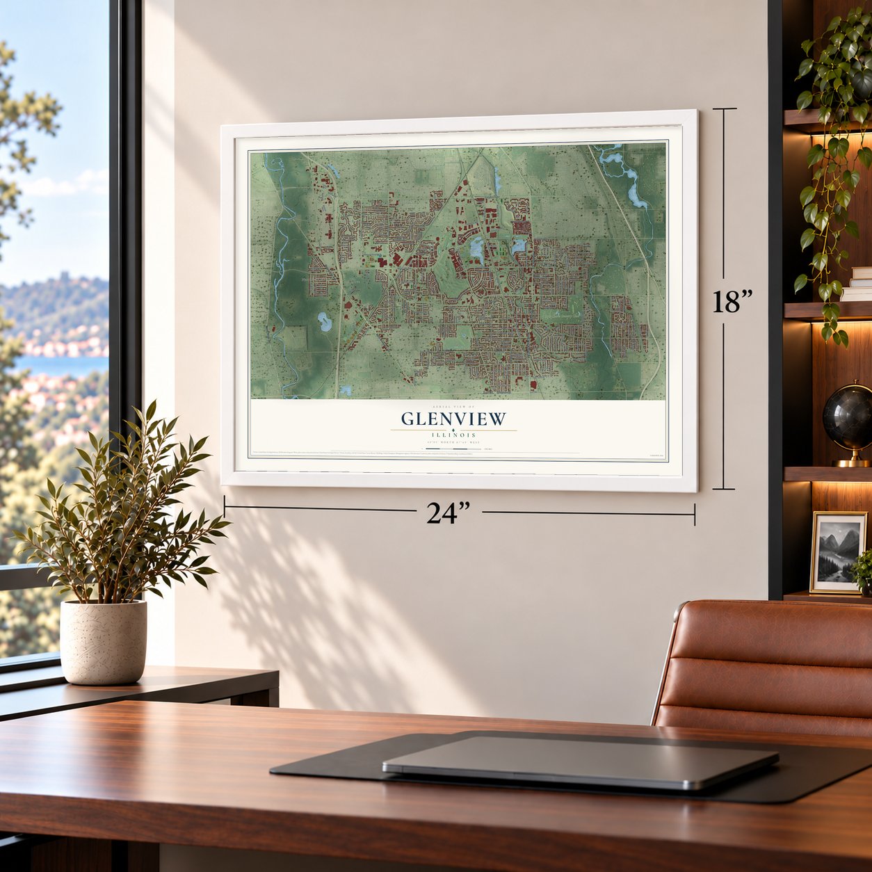
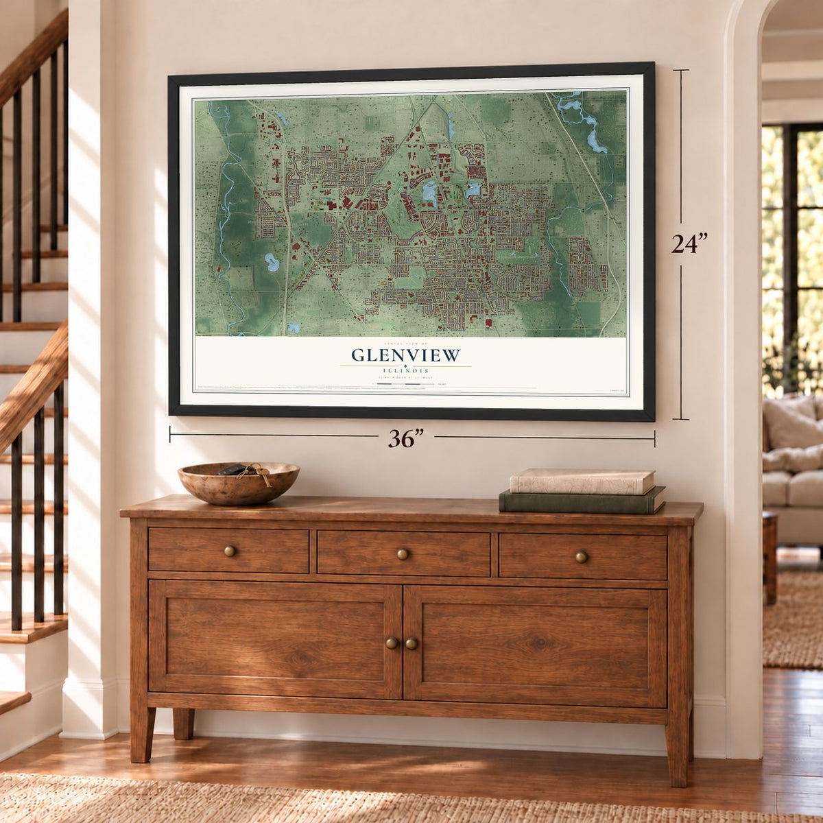
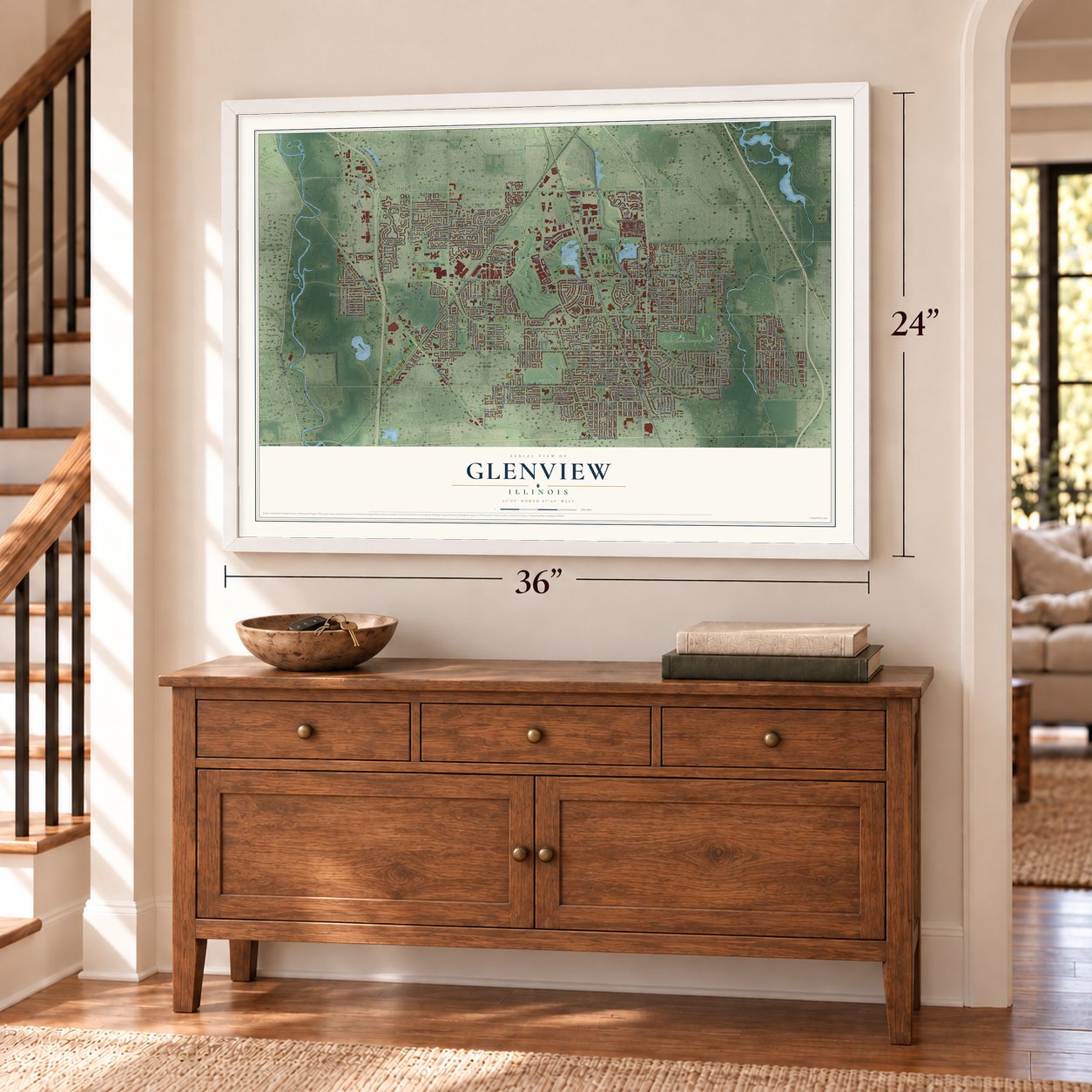
Glenview, Illinois Map Art
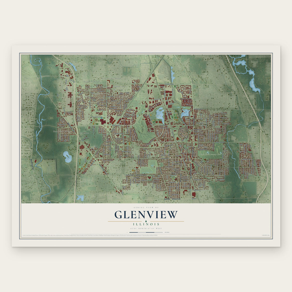
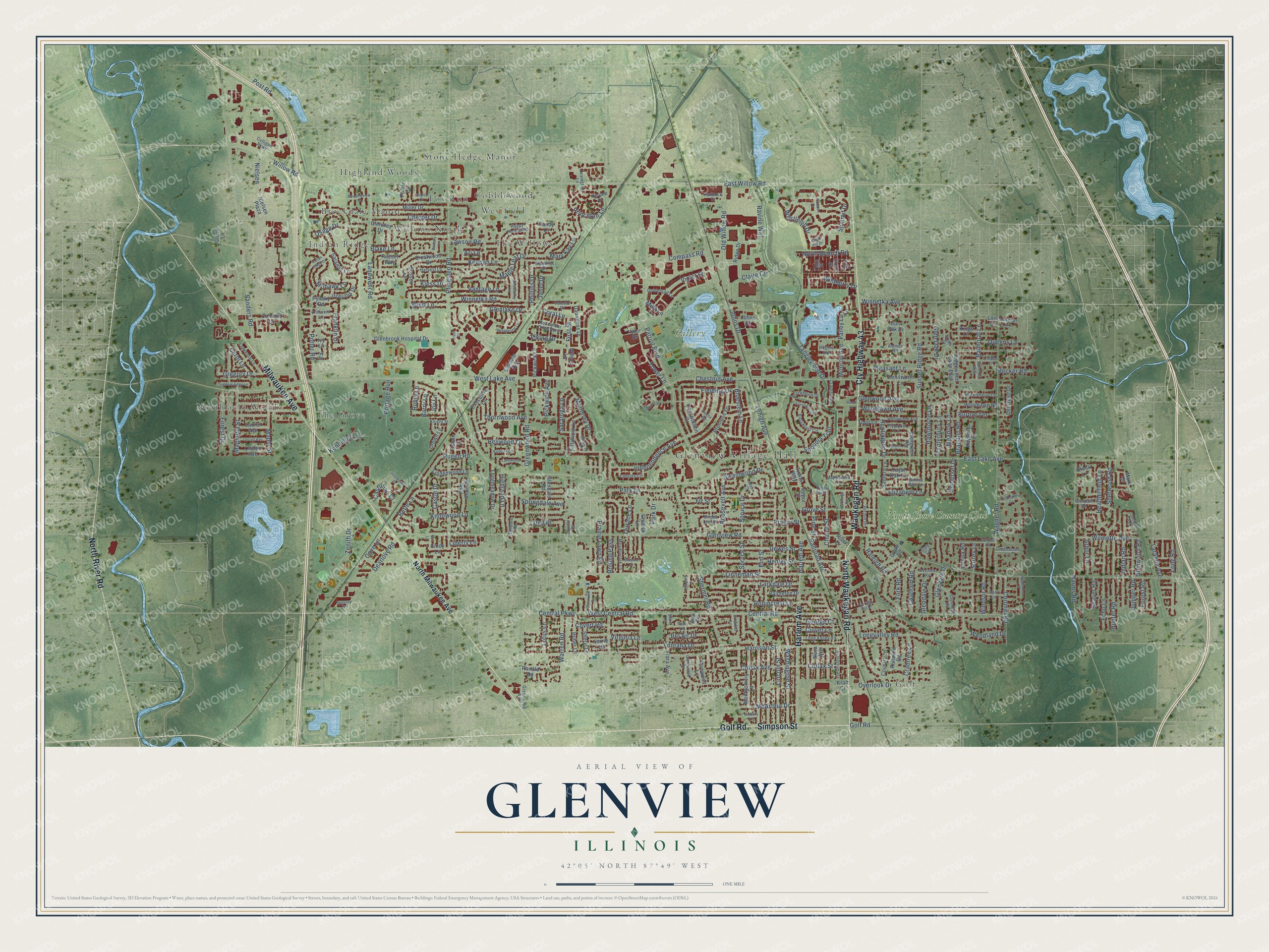
A new map of Glenview, Illinois, made in 2026 and printed to order on thick archival matte paper.
12" x 18" Archival Matte Print
A Map of Home. A Work of Art.
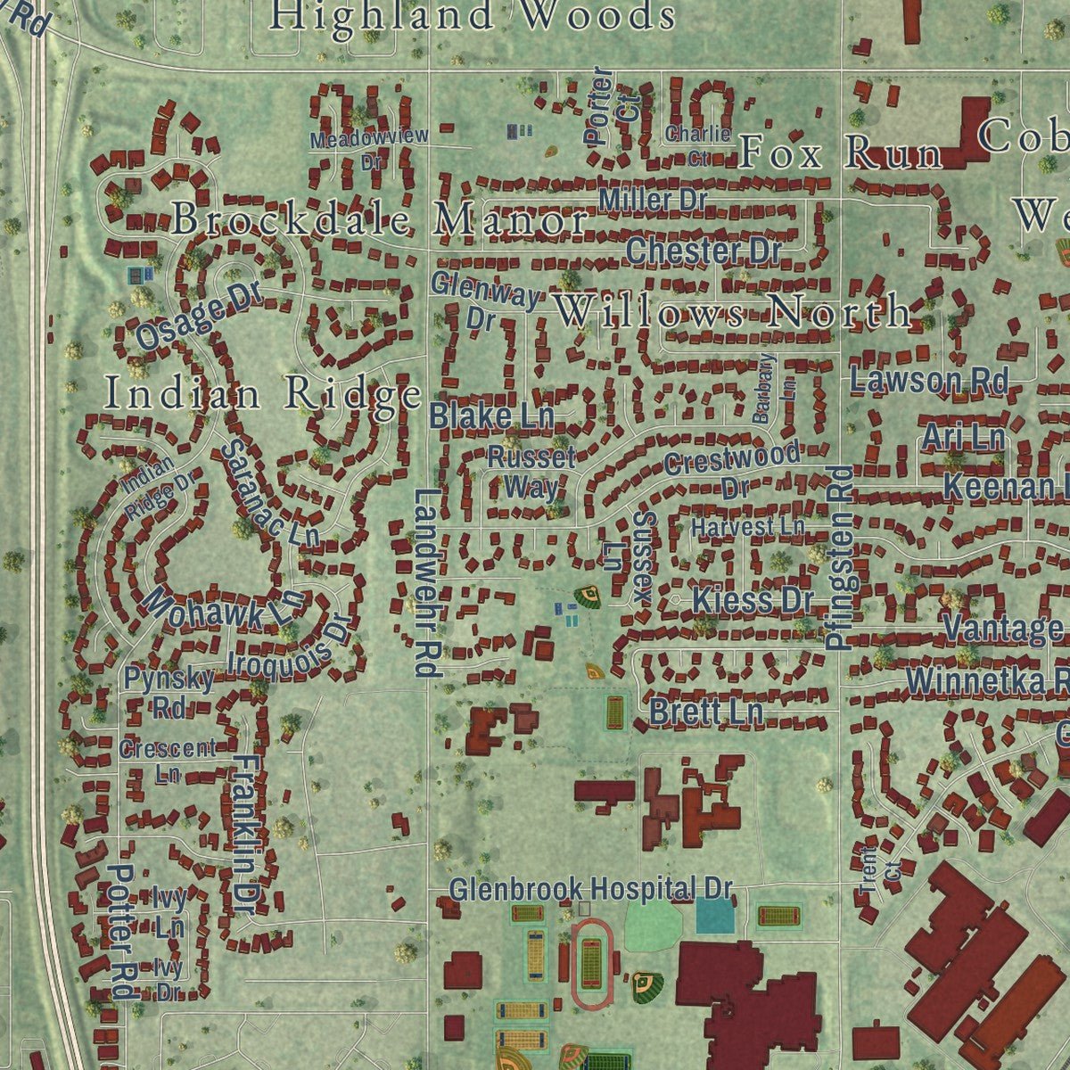
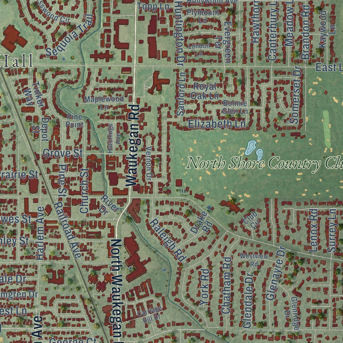
Explore Glenview, Illinois from a whole new perspective. Created using aerial imagery and detailed geographic data, this map captures Glenview building by building, with labeled streets, familiar landmarks, and shaded topographical relief that highlights the natural contours of the landscape.
Combining modern data with the timeless character of a vintage atlas, this map is just as interesting up close as it is beautiful on the wall. Whether you grew up in Glenview, spent memorable years there, or call it home today, this unique map is a great way to celebrate a place that means something to you. Zoom in on the preview to look for your street, and then order a print to put your memories on the wall.
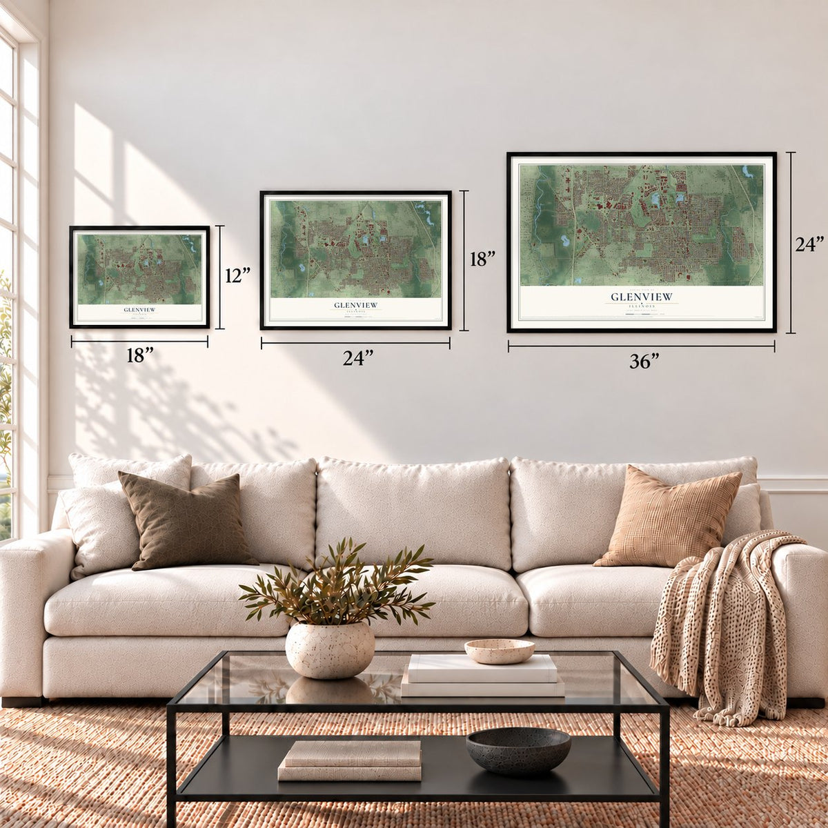
Three ways to hang it
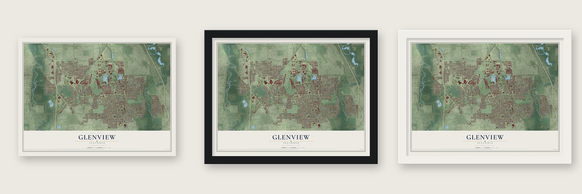
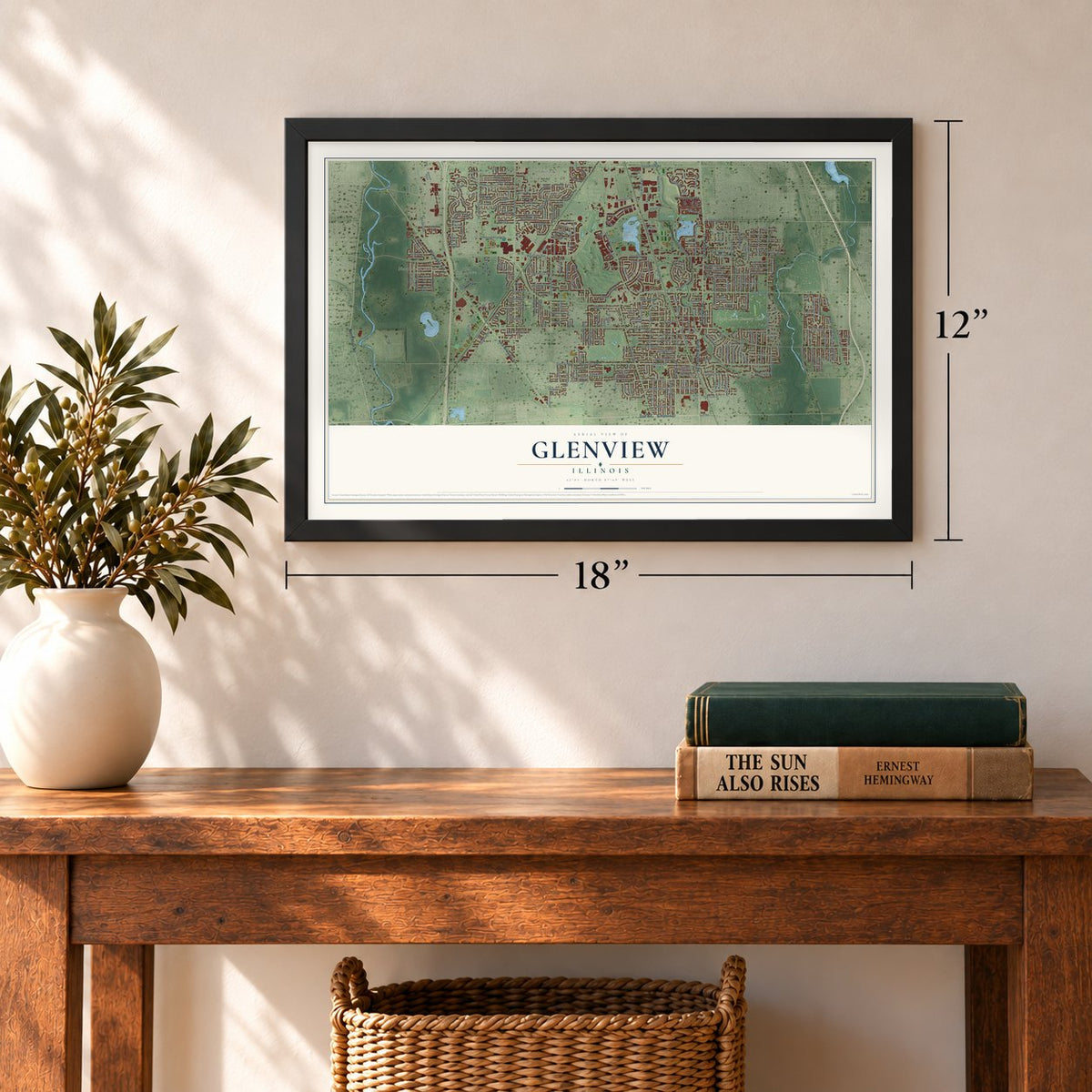
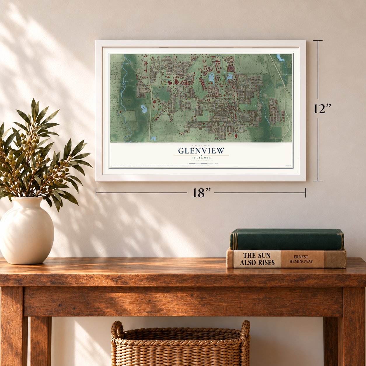
Unframed archival matte, a black wood frame or a white wood frame.
Up close
Geography Worth Displaying
This map was created using accurate cartographic data and authoritative geographic sources, including the U.S. Geological Survey and the Census Bureau. The map brings together terrain, waterways, roads, and building detail. The majority of the streets are labeled, houses are accurately depicted, and the topography is derived from government sources. Combining local data with carefully composed color and shading leads to this beautifully detailed Glenview artwork for your wall.
Rather than simply showing street outlines, we’ve included as many of the street names as we could reasonably fit on the map while keeping their names legible. Zoom in on the high resolution preview to see exactly what’s on the map. We truly set out to create a statement piece for anyone who loves Glenview. So whether it’s for you, or a gift for someone you love, we hope this map of Glenview brings back fond memories.
Read the story behind this map of Glenview, Illinois from 2026.
About Glenview, Illinois
Glenview is a village of 48,705 people in Cook County, about 15 miles northwest of downtown Chicago. The Kennicott family was among the first settlers of Northfield Township, arriving in March 1836, and for decades the whole township went by the single name Northfield, with local names for its separate corners.
When the Post Office insisted on one official name, villagers gathered for a special meeting and weighed choices such as Rugenville, Glenvarr, Glendale, Glengrove, Glen Hollow and Oak View. Glenview won the majority on May 7, 1895, and the village was incorporated in 1899. Farms covered much of the area until after World War II, when builders like Tom Sullivan turned it into a suburb.
- A church colony in 1894Hugh Burnham, the first village president and a nephew of the architect Daniel Burnham, founded The Park in 1894 as a home for followers of Emanuel Swedenborg, a scientist and theologian of the 1700s. Members of this New Church bought 40 acres and, from the late 1890s, set their houses in an oval around a shared green that held the church and school. Swain Nelson, one of the designers of Chicago's Lincoln Park, planned the neighborhood.
- From air station to The GlenNaval Air Station Glenview flew Coast Guard rescue helicopters over Chicago and Lake Michigan and housed a squadron of P-3 Orions assigned to hunt submarines off the East Coast. The base closed in 1995, and its 1,121 acres, about 15% of the village, became The Glen, with homes, shops, a lake, two golf courses, the Kohl Children's Museum and the North Glenview Metra station. Its Hangar 1 joined the National Register in 1998.
- The Kennicotts of 1836The Kennicott family settled in Northfield Township in March 1836, among its very first settlers. Robert Kennicott, who went on to become an explorer and naturalist, grew up here when this part of the township was called West Northfield.
- Farm life of the 1920sThe Glenview Park District owns Wagner Farm, 18.6 acres where visitors ride in wagons and learn how families farmed in the 1920s. In 2007 the farm drew more than 54,000 visitors.
Find your street
Names on the Glenview map
Every name below is printed on this map. Look for your street, your school, the park where you played, or the pond down the road.
Places and landmarks16
- Glenview Village Hall
- Flick Park
- Gallery Park
- Brockdale Manor
- Cobblewood
- Fox Run
- Golf
- Highland Woods
- Indian Ridge
- Northfield Woods
- Stone Hedge Manor
- The Grove
Show all 16 places
- The Willows
- Westfield
- Willows North
- North Shore Country Club
Streets and roads326
- Golf Road
- Simpson Street
- Waukegan Road
- Cty Highway 43
- North Waukegan Road
- Milwaukee Avenue
- North River Road
- Harlem Avenue
- Willow Road
- Old Willow Road
- East Willow Road
- Ravine Way
- First Street
- Claire Court
- Maple Leaf Drive
- Viking Drive
- Fielding Drive
- Brandon Road
- Dearlove Road
- Glenview Road
- East Lake Avenue
- West Lake Avenue
- Central Road
- Lehigh Avenue
- Shermer Road
- Central Parkway
- Pfingsten Road
- Patriot Boulevard
- West Central Road
- Harrison Street
Show all 326 streets
- Greenwood Road
- Wagner Road
- Sanders Road
- Independence Avenue
- Linneman Street
- Chestnut Avenue
- Elm Street
- Pleasant Lane
- Lincoln Street
- Washington Street
- Harms Road
- Westleigh Drive
- Landwehr Road
- Sunset Ridge Road
- Dewes Street
- Raleigh Road
- Zenith Drive
- Winnetka Road
- Longvalley Road
- Springdale Avenue
- Grove Street
- Swainwood Drive
- Larkdale Drive
- Robincrest Lane
- Henley Street
- Hunter Road
- Arbor Lane
- Bellwood Lane
- Valley Lo Lane
- North Branch Road
- Knollwood Lane
- Prairie Street
- Covert Road
- Tanglewood Drive
- Rugen Road
- Glenlake Drive
- Park Drive
- Sequoia Trail
- Indian Road
- Johns Drive
- Spruce Street
- Princeton Lane
- Pine Street
- Mary Kay Lane
- Spruce Drive
- Canterbury Lane
- Park Lane
- Echo Lane
- Hawthorne Lane
- Fir Street
- Wilmette Avenue
- Mohawk Lane
- Prairie Lawn Road
- Chester Drive
- Overlook Drive
- Monterey Drive
- Potter Road
- Glenayre Drive
- Summit Drive
- Castillian Court
- Tower Lane
- Laramie Avenue
- Bel Air Drive
- Long Road
- Heatherfield Lane
- Thornwood Avenue
- Windsor Road
- Surrey Lane
- Juniper Road
- Bette Lane
- Pickwick Avenue
- Coronet Road
- Magnolia Street
- Warren Road
- Winnetka Avenue
- Fontana Drive
- Colfax Avenue
- Highland Lane
- Balmoral Lane
- Saratoga Lane
- Woodland Drive
- Maple Street
- Rolling Pass
- Compass Road
- Woodlawn Avenue
- Violet Street
- Forest Drive
- Lawson Road
- McArthur Drive
- Bluestem Lane
- Queens Lane
- Church Street
- Chatham Road
- Wildberry Drive
- Roosevelt Avenue
- Gregory Drive
- Kennicott Lane
- Virginia Lane
- Meadow Lane
- Glenwood Avenue
- Osage Drive
- Keenan Lane
- Vantage Lane
- Glen Oak Drive
- Post Road
- Crabtree Lane
- Cove Lane
- Colfax Street
- Elizabeth Lane
- George Court
- Coral Lane
- Portage Run
- Sherwood Road
- Huntington Drive
- Phillips Drive
- Castle Drive
- Glendale Drive
- Carol Lane
- Railroad Avenue
- Lotus Lane
- Franklin Drive
- Burton Terrace
- Glenwood Road
- Culver Lane
- Somerset Drive
- Monroe Avenue
- Beaver Road
- Nielsen
- Brett Lane
- Terrace Lane
- Kiess Drive
- Becker Road
- Liberty Lane
- Dell Place
- Robin Lane
- Janet Drive
- Forest Road
- York Road
- Barry Lane
- Blake Lane
- Lenox Road
- Joy Lane
- Mint Lane
- Ari Lane
- North Milwaukee Avenue
- Kenilworth Lane
- Miller Drive
- Dauntless Drive
- Evergreen Terrace
- Glendale Road
- Lindenwood Lane
- Longmeadow Drive
- Crestwood Drive
- Huber Lane
- Glenbrook Hospital Drive
- Elmdale Avenue
- Ridgewood Lane East
- Saranac Lane
- Country Lane
- Pickwick Lane
- Primrose Lane
- Executive Lane
- Pam Anne Drive
- Iroquois Drive
- Montgomery Lane
- Burr Oak Drive
- Palmgren Drive
- Estate Lane
- Del Ogier Drive
- Depot Street
- Linden Avenue
- Constitution Drive
- Ridge Drive
- Kings Lane
- Kittyhawk Lane
- Glenway Drive
- Wilson Lane
- Nielsen Plaza
- Woodlawn Road
- Valor Drive
- Sandy Lane
- Rollwind Road
- Kaywood Lane
- Neva Avenue
- Ronald Road
- Concord Lane
- Sanford Lane
- Brook Lane
- Russet Way
- Crown Lane
- Laurel Avenue
- Fernwood Lane
- Drake Road
- Flora Avenue
- Sheryl Lane
- Gladish Lane
- Tinker Way
- Sussex Lane
- Topp Lane
- Jerrie Lane
- Royal Oak Lane
- Johns Court
- Mark Drive
- Cindy Lane
- Pynsky Road
- River Drive
- Ivy Lane
- Sixth Street
- Grove Lane
- Porter Court
- Kraft Court
- Lois Lane
- Pick Drive
- Pick Lane
- Culligan Parkway
- Hollywood Avenue
- Blackthorn Drive
- Greenfield Drive
- Meadowlark Lane
- Lexington Lane
- Happy Hollow Road
- Balmoral Avenue
- Buccaneer Drive North
- Ferndale Road
- Basswood Circle
- Linden Lane
- Long Valley Road
- Langley Circle
- Lawrence Lane
- Bonnie Glen Lane
- Linden Leaf Drive
- Valcour Drive
- Glenridge Drive
- Crescent Lane
- Ammer Road
- Huckleberry Lane
- Elmdale Road
- Polo Lane
- Harvest Lane
- Midway Drive
- Maplewood Lane
- Goldenrod Lane
- Alvin Court
- Juniper Terrace
- Vernon Drive
- Greenwood Avenue
- Club Circle
- Riverside Court
- Greenacres Lane
- Plymouth Lane
- Brandess Drive
- Rogers Avenue
- Paddock Drive
- Knight Street
- Fairhope Avenue
- Third Street
- Briarhill Lane
- North Drive
- Tenth Street
- Harvard Court
- Ivy Drive
- Crystal Court
- Short Lane
- Pine Point
- Indian Ridge Drive
- Carriage Hill Drive
- Camden Drive
- Ironwood Court
- Commons Drive
- Thistle Road
- Golfview Road
- Winchester Lane
- Nottingham Avenue
- Silverwillow Drive
- Locust Avenue
- Elmgate Drive
- Timbers Edge Lane
- Charlie Court
- Ralmark Lane
- Strawberry Lane
- Timberline Drive
- Lakewood Court
- Westview Road
- London Lane
- Meadowview Drive
- Clearview Drive
- Woodmere Lane
- Hutchings Avenue
- Brassie Drive
- Regency Drive
- Barbary Lane
- Hickory Court
- Neil Lane
- Brush Hill Drive
- Trent Court
- Borre Lane
Names are listed as they appear on the printed map. Zoom into the product photos to find them.
The art of mapping a place
How This Map Was Made
Real places. Remarkable detail. Discover the layers that turn geographic data into a map of home.

The view from above
Aerial imagery reveals the character of the land: woodland, open fields, and the patterns of a place.

The shape of the land
Elevation data brings hills, valleys, and subtle changes in the landscape into view.

The details of home
Roads, waterways, and building footprints come together to make the map feel unmistakably local.

Geography becomes art
Considered color, shading, and typography bring the layers together in a map made for your wall.


Process illustrated with Mendon, Massachusetts. Aerial imagery: USDA NAIP. Terrain: USGS 3D Elevation Program. Map details and finished artwork: KNOWOL.
The Details
About This Print
Choose an archival matte print, or a black or white Ayous wood frame. The archival matte print is unframed.
Select your size and finish above to see the matching product image and price.
Materials & Craftsmanship
A contemporary map with the character of a classic atlas, printed on archival matte paper. Optional frames are made from Ayous wood.
Your printed map does not include the watermark shown in the full-map preview.
Shipping & Delivery
Free shipping within the United States. Every print is made to order in the USA.
Buying a gift? Add a note in your cart and we'll include it. We never put prices in the package.
Prints ship within 2 to 3 business days. Allow 7 to 10 days total from ordering for delivery. Timing may vary during holidays or periods of high order volume.
Read our shipping policy.
Returns and damaged prints
Each print is made to order. Change-of-mind refunds are not available after production.
If your print arrives damaged, misprinted or incorrect, contact support@knowol.com within 30 days of receiving it. Include your order number, photos and a description of the issue.
Read our full refund and replacement policy. For questions about your order, email support@knowol.com.
Find your town
Looking for another city?
Find a map of home in our Illinois collection, or any town in the country.
Nearby
Maps of towns near Glenview
Know someone from one of these towns? Their map makes a great gift.
 Northfield
, Illinois
From $39.99See the map
 Golf
Golf, Illinois
From $39.99See the map
 Northbrook
, Illinois
From $39.99See the map
More maps nearby: Morton Grove, Niles, Winnetka, Glencoe and Wilmette.