
Search for another town




Free U.S. delivery 7 to 10 days after you order
Wilmette, Illinois Map Art
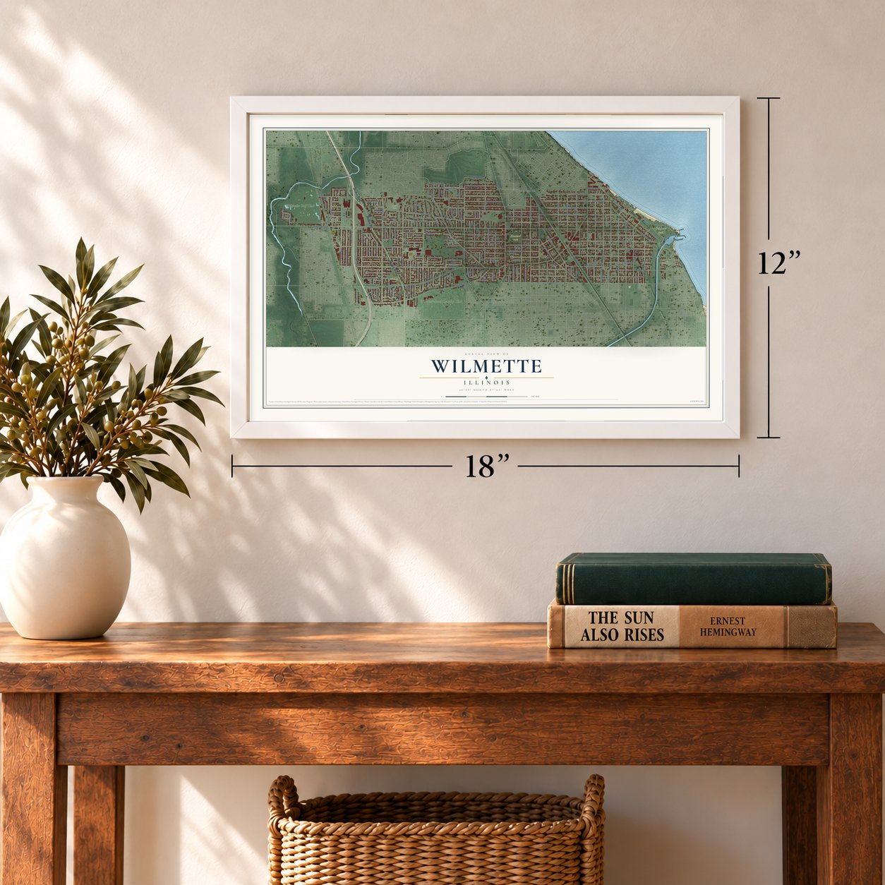
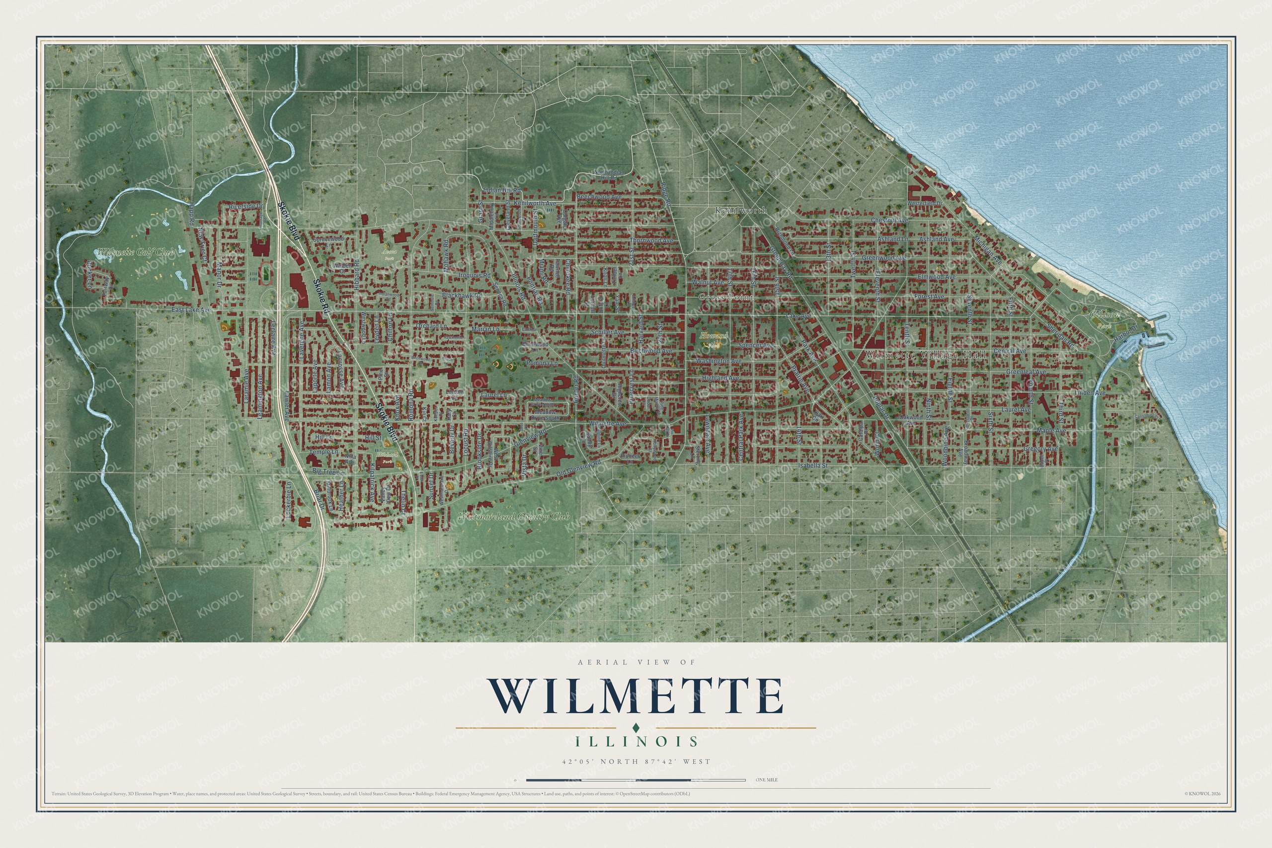
A new map of Wilmette, Illinois, made in 2026 and printed to order on thick archival matte paper.
12" x 18" Archival Matte Print
A Map of Home. A Work of Art.
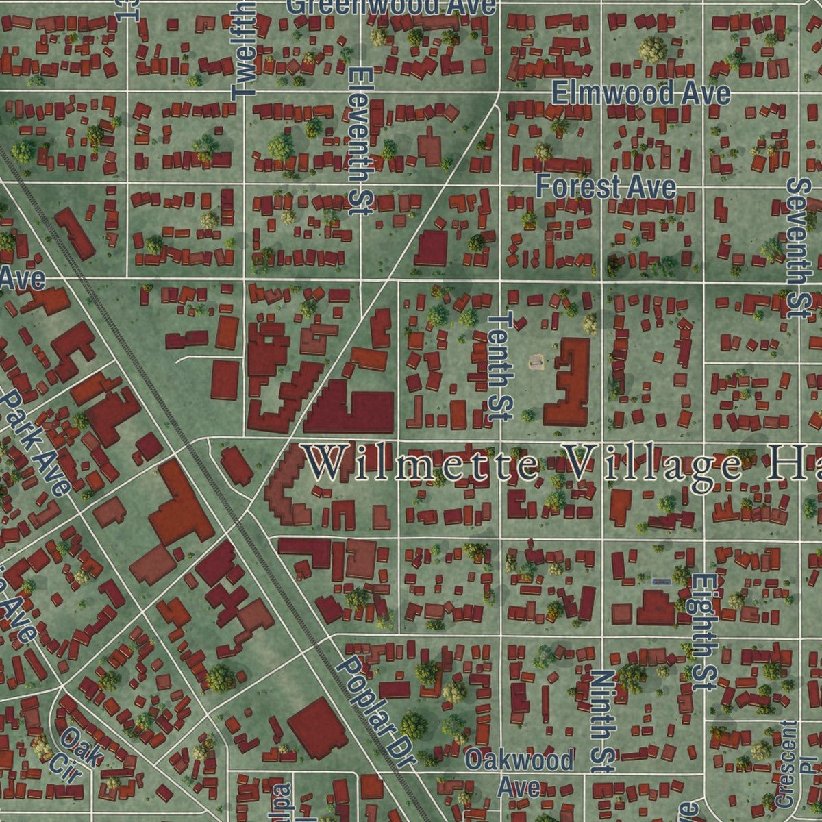
Explore Wilmette, Illinois from a whole new perspective. Created using aerial imagery and detailed geographic data, this map captures Wilmette building by building, with labeled streets, familiar landmarks, and shaded topographical relief that highlights the natural contours of the landscape.
Combining modern data with the timeless character of a vintage atlas, this map is just as interesting up close as it is beautiful on the wall. Whether you grew up in Wilmette, spent memorable years there, or call it home today, this unique map is a great way to celebrate a place that means something to you. Zoom in on the preview to look for your street, and then order a print to put your memories on the wall.
Three ways to hang it
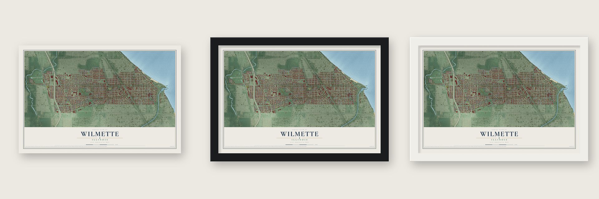
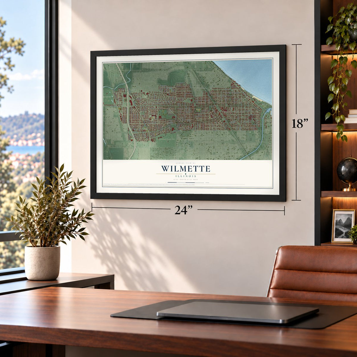
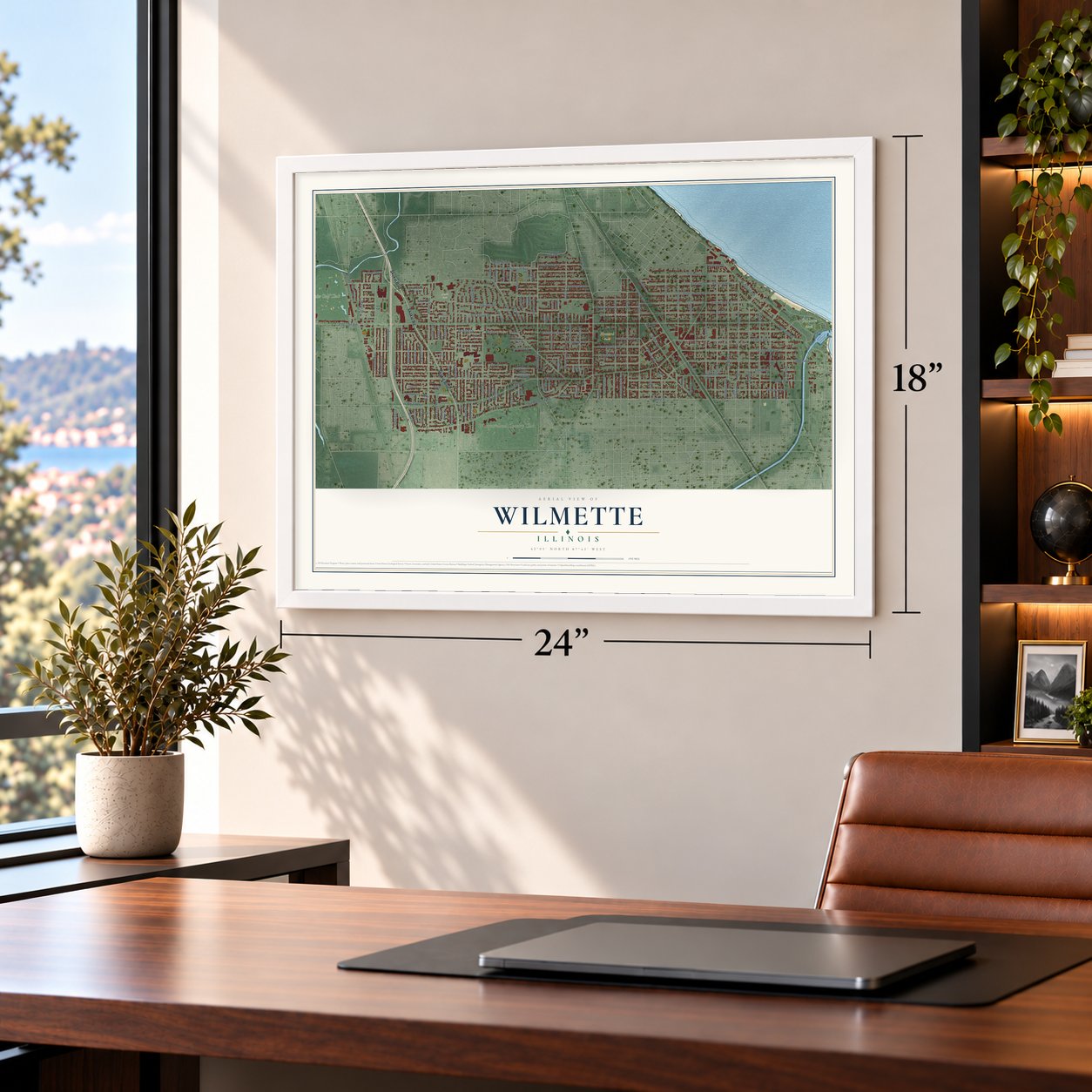
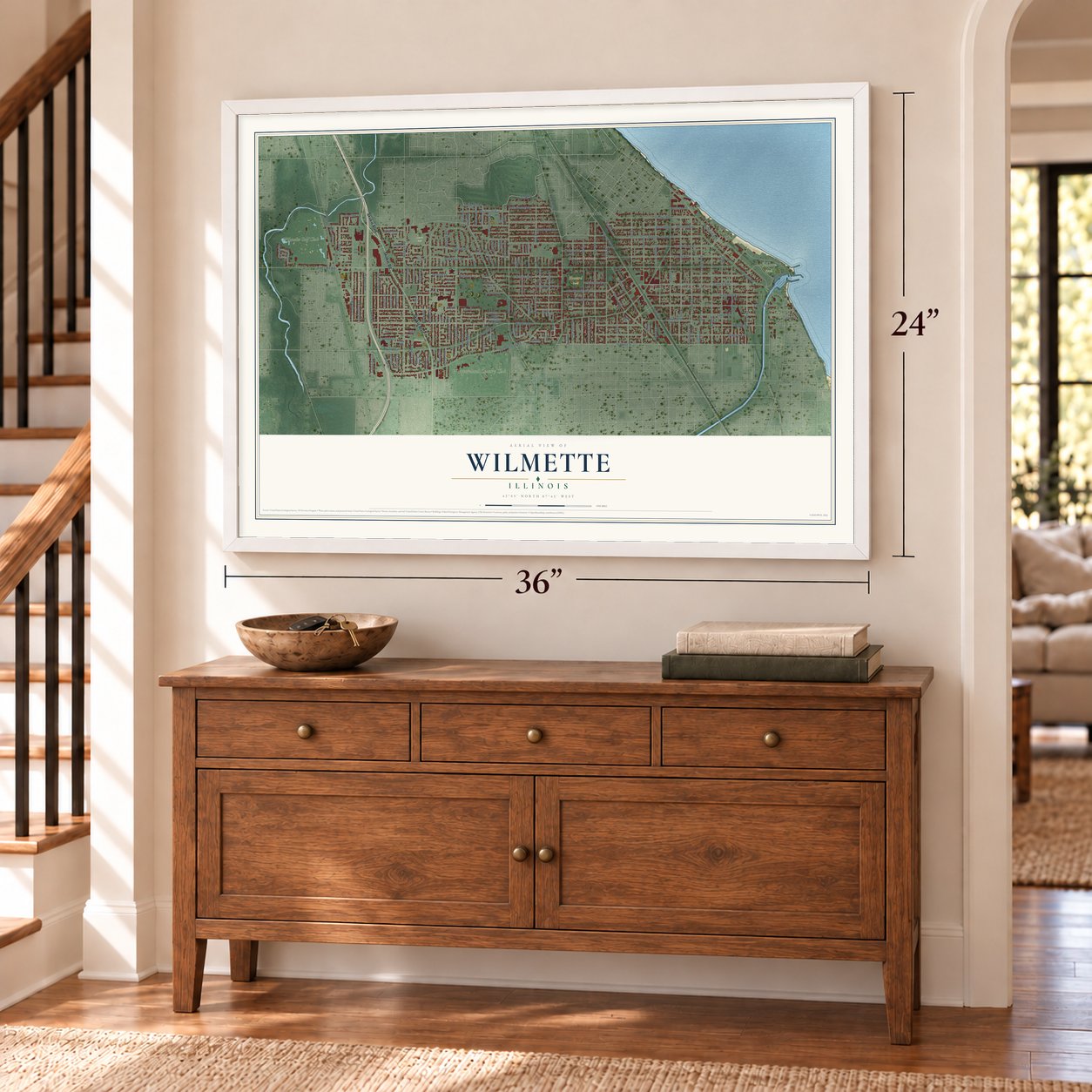
Unframed archival matte, a black wood frame or a white wood frame.
Up close
Geography Worth Displaying
This map was created using accurate cartographic data and authoritative geographic sources, including the U.S. Geological Survey and the Census Bureau. The map brings together terrain, waterways, roads, and building detail. The majority of the streets are labeled, houses are accurately depicted, and the topography is derived from government sources. Combining local data with carefully composed color and shading leads to this beautifully detailed Wilmette artwork for your wall.
Rather than simply showing street outlines, we’ve included as many of the street names as we could reasonably fit on the map while keeping their names legible. Zoom in on the high resolution preview to see exactly what’s on the map. We truly set out to create a statement piece for anyone who loves Wilmette. So whether it’s for you, or a gift for someone you love, we hope this map of Wilmette brings back fond memories.
Read the story behind this map of Wilmette, Illinois from 2026.

About Wilmette, Illinois
Wilmette is a village of 28,170 people in Cook County, on Lake Michigan north of Chicago. It carries the name of Archange Chevallier Ouilmette, daughter of a French fur trader and his Potawatomi wife, and of her husband Antoine, a French-Canadian trader. Under the Second Treaty of Prairie du Chien, signed on July 29, 1829, the federal government gave Archange 1,280 acres here and in what is now Evanston, and the couple built a cabin on that land.
Antoine later sued neighbors he blamed for cutting timber on the reservation. He lost and paid heavy court costs, so in 1838 the family left for Council Bluffs, Iowa. After both parents died, their children won President James K. Polk's approval and sold the land in 1845. Rail tracks came through in 1855, and local landowners paid for a station so that trains would stop. Service began in 1869, the same year Alexander McDaniel and his partners platted the village. Wilmette incorporated on September 19, 1872, and still marks that date each year as Charter Day.
- Gross Point, the German villageGerman-speaking Catholic farmers from the Mosel Valley, many from around Trier, began farming what is now west Wilmette in the late 1830s. They incorporated their own Village of Gross Point in 1874. It stayed separate from Wilmette for about fifty years and never grew past 500 people. At least fifteen taverns lined Ridge Road, which angered temperance-minded Evanston. The Gross Point Village Hall joined the National Register in 1991.
- Lost by three votesResidents voted in 1894 and 1897 on whether to join Evanston, which had better fire, police and water service and its own high school. One referendum failed 168 to 165, and three others failed as well. Wilmette chose to improve its own services instead. It built a central fire station in 1899 and began paving its streets with brick.
- A Baháʼí temple on the lakeWilmette holds North America's first Baháʼí House of Worship, and it remains the continent's only one. The building joined the National Register as the Baha'i Temple in 1978.
- A Carnegie library in 1905In 1900 residents approved a free public library by a vote of 62 to 52. Five years later, with money from Andrew Carnegie, the village put up a library building at the corner of Park and Wilmette Avenues.
Find your street
Names on the Wilmette map
Every name below is printed on this map. Look for your street, your school, the park where you played, or the pond down the road.
Places and landmarks9
- Wilmette Village Hall
- Gross Point
- Gillson Park
- Hibbard Park
- Howard Park
- Avoca Park
- Kenilworth
- Westmoreland Country Club
- Wilmette Golf Club
Streets and roads166
- Skokie Boulevard
- Skokie Road
- Indian Hill Road
- Central Avenue
- Ridge Road
- Old Glenview Road
- Hunter Road
- Big Tree Lane
- Lake Avenue
- 13th Street
- Heather Lane
- Wilmette Avenue
- Illinois Road
- Washington Avenue
- Elmwood Avenue
- Greenwood Avenue
- Sheridan Road
- Isabella Street
- Forest Avenue
- Greenleaf Avenue
- Glenview Road
- Linden Avenue
- Hibbard Road
- Locust Road
- Green Bay Road
- Tenth Street
- Iroquois Road
- Chestnut Avenue
- Gregory Avenue
- Maple Avenue
Show all 166 streets
- Romona Road
- Ninth Street
- 16th Street
- Thornwood Avenue
- Ashland Avenue
- 15th Street
- Ashland Lane
- Kenilworth Avenue
- Eighth Street
- 17th Street
- Laramie Avenue
- Sixth Street
- Michigan Avenue
- Birchwood Avenue
- Eleventh Street
- Lawler Avenue
- Fifth Street
- Park Avenue
- Prairie Avenue
- Highland Avenue
- Seventh Street
- Fourth Street
- East Lake Avenue
- Lavergne Avenue
- Laurel Avenue
- Schiller Avenue
- Third Street
- Twelfth Street
- Leclaire Avenue
- Walnut Avenue
- Poplar Drive
- Manor Drive
- Leamington Avenue
- Sunset Drive
- Beechwood Avenue
- Pinecrest Lane
- Lacrosse Avenue
- Blackhawk Road
- Harvard Street
- 20th Street
- Lamon Avenue
- Briar Drive
- 21st Street
- Mohawk Road
- Orchard Lane
- Pontiac Road
- Harbor Drive
- 14th Street
- Beverly Drive
- Cherokee Road
- Dartmouth Street
- Central Park Avenue
- Brookside Drive
- Laurel Lane
- Lawndale Avenue
- Kilpatrick Avenue
- Spencer Avenue
- Bunker Lane
- Marian Lane
- Laporte Avenue
- Vista Drive
- Woodbine Avenue
- Knox Avenue
- Hill Lane
- Temple Lane
- Lockerbie Lane
- Chilton Lane
- Riverside Drive
- Pomona Lane
- Wood Court
- New Trier Court
- Thelin Court
- Grant Street
- Leyden Lane
- Happ Road
- Miami Road
- Hill Street
- North Indian Hill Road
- Seneca Road
- Oakwood Avenue
- Sprucewood Lane
- Fairway Drive
- West Wilshire Drive
- Pawnee Road
- Ouilmette Lane
- Highcrest Drive
- Sandy Lane
- Meadow Drive South
- Millbrook Lane
- Middlebury Lane
- Cleveland Street
- Westerfield Drive
- Richmond Lane
- Valley View Drive
- Broadway Avenue
- Westwood Lane
- Walden Court
- Sterling Lane
- Birchwood Lane
- Colgate Avenue
- Catalpa Place
- Pioneer Lane
- Vine Street
- Nina Avenue
- Oak Circle
- Knoll Lane
- Timber Lane
- Lincoln Lane
- Oxford Lane
- Yale Street
- Cornell Street
- Pine Street
- Kin Court
- Kary Court
- Westmoreland Drive
- Hollywood Court
- Crescent Place
- Meadow Drive North
- Dupee Place
- Princeton Place
- Alpine Lane
- Pine Manor Drive
- Amherst Lane
- Koeper Court
- Cedar Lane
- Frontage Road
- Indianwood Road
- Pin Oak Drive
- Hawthorne Lane
- Seminole Road
- Canterbury Court
- Cardinal Lane
- Birchwood Court
- Alison Lane
- Essex Place
- Cove Lane
Names are listed as they appear on the printed map. Zoom into the product photos to find them.
The art of mapping a place
How This Map Was Made
Real places. Remarkable detail. Discover the layers that turn geographic data into a map of home.

The view from above
Aerial imagery reveals the character of the land: woodland, open fields, and the patterns of a place.

The shape of the land
Elevation data brings hills, valleys, and subtle changes in the landscape into view.

The details of home
Roads, waterways, and building footprints come together to make the map feel unmistakably local.

Geography becomes art
Considered color, shading, and typography bring the layers together in a map made for your wall.


Process illustrated with Mendon, Massachusetts. Aerial imagery: USDA NAIP. Terrain: USGS 3D Elevation Program. Map details and finished artwork: KNOWOL.
The Details
About This Print
Choose an archival matte print, or a black or white Ayous wood frame. The archival matte print is unframed.
Select your size and finish above to see the matching product image and price.
Materials & Craftsmanship
A contemporary map with the character of a classic atlas, printed on archival matte paper. Optional frames are made from Ayous wood.
Your printed map does not include the watermark shown in the full-map preview.
Shipping & Delivery
Free shipping within the United States. Every print is made to order in the USA.
Buying a gift? Add a note in your cart and we'll include it. We never put prices in the package.
Prints ship within 2 to 3 business days. Allow 7 to 10 days total from ordering for delivery. Timing may vary during holidays or periods of high order volume.
Read our shipping policy.
Returns and damaged prints
Each print is made to order. Change-of-mind refunds are not available after production.
If your print arrives damaged, misprinted or incorrect, contact support@knowol.com within 30 days of receiving it. Include your order number, photos and a description of the issue.
Read our full refund and replacement policy. For questions about your order, email support@knowol.com.
Find your town
Looking for another city?
Find a map of home in our Illinois collection, or any town in the country.
Nearby
Maps of towns near Wilmette
Know someone from one of these towns? Their map makes a great gift.
 Kenilworth
, Illinois
From $39.99See the map
 Winnetka
, Illinois
From $39.99See the map
 Evanston
, Illinois
From $39.99See the map
More maps nearby: Skokie, Northfield, Golf, Morton Grove and Glencoe.