
Search for another town





Free U.S. delivery 7 to 10 days after you order
Winnetka, Illinois Map Art
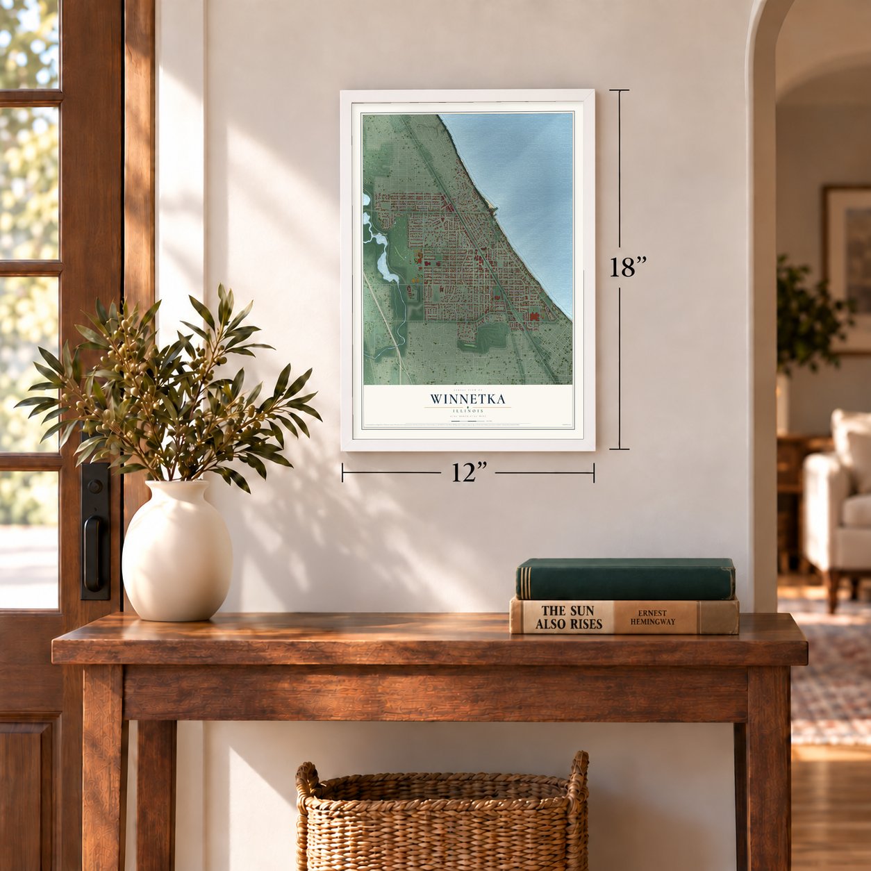
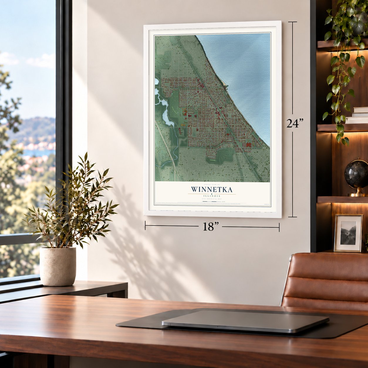
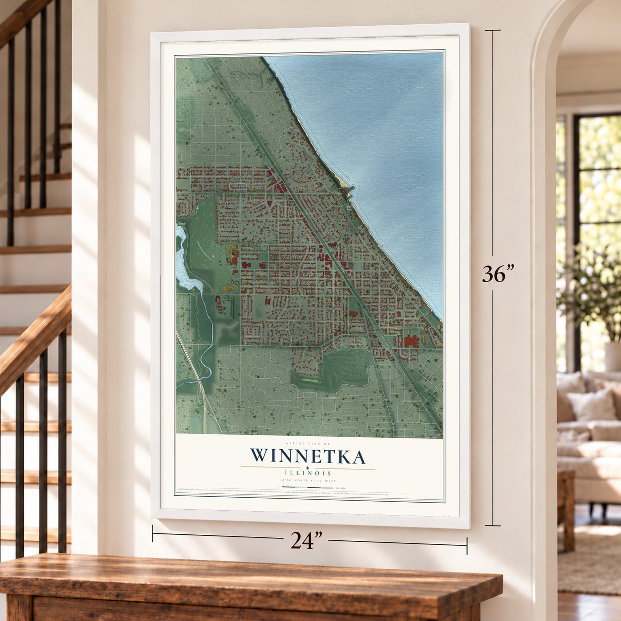
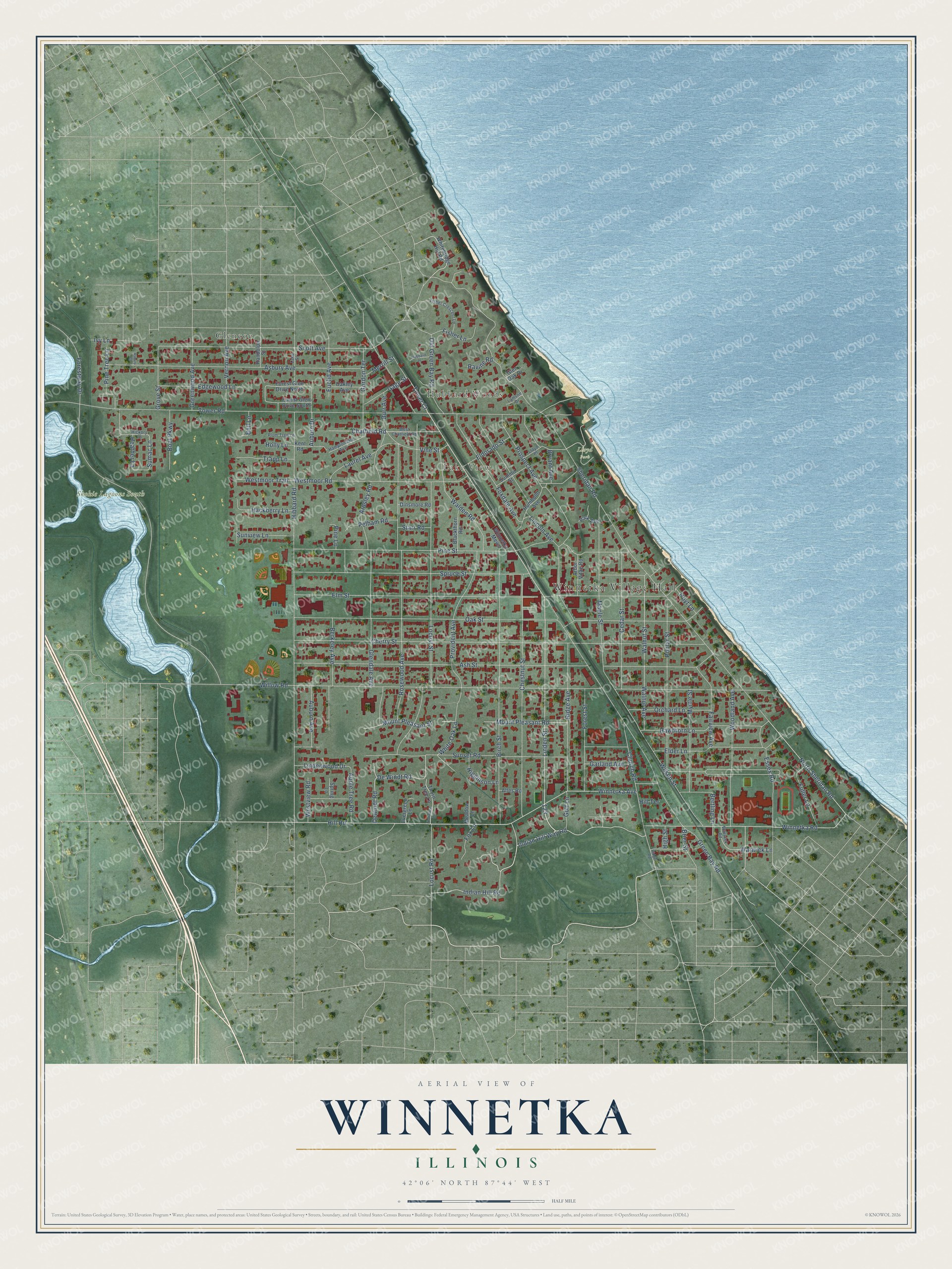
A new map of Winnetka, Illinois, made in 2026 and printed to order on thick archival matte paper.
12" x 18" Archival Matte Print
A Map of Home. A Work of Art.
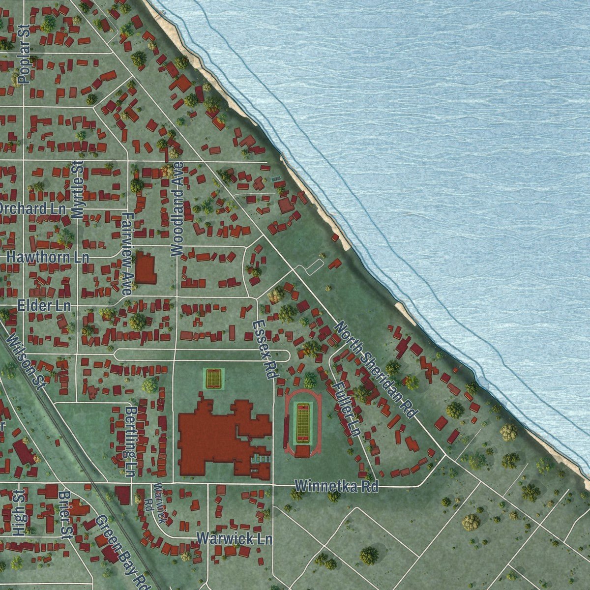
Explore Winnetka, Illinois from a whole new perspective. Created using aerial imagery and detailed geographic data, this map captures Winnetka building by building, with labeled streets, familiar landmarks, and shaded topographical relief that highlights the natural contours of the landscape.
Combining modern data with the timeless character of a vintage atlas, this map is just as interesting up close as it is beautiful on the wall. Whether you grew up in Winnetka, spent memorable years there, or call it home today, this unique map is a great way to celebrate a place that means something to you. Zoom in on the preview to look for your street, and then order a print to put your memories on the wall.
Three ways to hang it
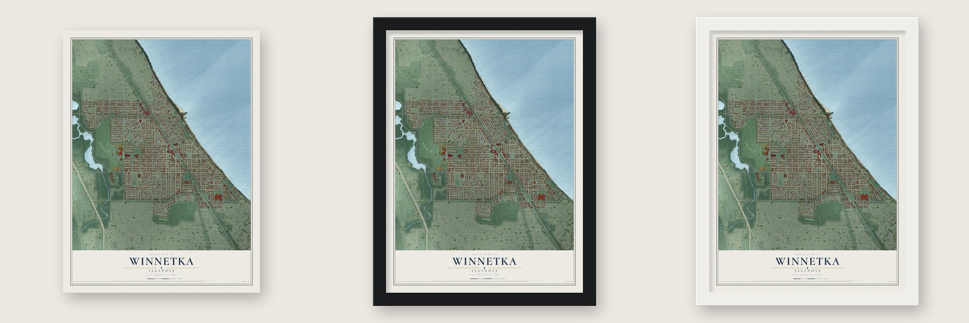
Unframed archival matte, a black wood frame or a white wood frame.
Up close
Geography Worth Displaying
This map was created using accurate cartographic data and authoritative geographic sources, including the U.S. Geological Survey and the Census Bureau. The map brings together terrain, waterways, roads, and building detail. The majority of the streets are labeled, houses are accurately depicted, and the topography is derived from government sources. Combining local data with carefully composed color and shading leads to this beautifully detailed Winnetka artwork for your wall.
Rather than simply showing street outlines, we’ve included as many of the street names as we could reasonably fit on the map while keeping their names legible. Zoom in on the high resolution preview to see exactly what’s on the map. We truly set out to create a statement piece for anyone who loves Winnetka. So whether it’s for you, or a gift for someone you love, we hope this map of Winnetka brings back fond memories.
Read the story behind this map of Winnetka, Illinois from 2026.

About Winnetka, Illinois
Winnetka is a village of 12,744 people in Cook County, 17 miles north of downtown Chicago. Its first houses went up in 1836, the year Erastus Patterson brought his family west from Woodstock, Vermont, in a wagon pulled by oxen. On the fourteenth of August they camped on the hill where the Episcopal church later stood, and they opened a tavern for travelers on the Green Bay Trail post road.
In 1854 the first subdivision was laid out by Charles Peck along with Walter S. Gurnee, who headed the Chicago, Milwaukee & St. Paul Railroad. The railroad between Chicago and Milwaukee came through the next year, and in 1856 the Pecks started the first private school with seventeen pupils. Winnetka was incorporated in 1869 with 450 people, and that same year the Pecks gave the town its Village Green. The name is thought to come from the Potawatomi language and to mean 'beautiful place.'
- A log house moved twiceThe Schmidt-Burnham Log House is the oldest house still standing in Winnetka. It was first built on ground that is now the Indian Hill Club, at the south edge of town. In 1917 it was hauled to Tower Road, and in 2003 it moved again, this time to the Crow Island Woods. It joined the National Register in 2005 as the Anita Willets Burnham Log House.
- The Winnetka PlanEducator Carleton Washburne shaped the village's public schools around creative activities and social growth, an experiment that became known as the Winnetka Plan, and the schools still follow his ideas. Crow Island School, designed by Eliel and Eero Saarinen with the firm Perkins, Wheeler & Will, drew ten thousand people to its opening in 1938. A middle school opened in 1969 carries Washburne's name.
- Dr. King on the Village GreenMartin Luther King Jr. spoke on the Village Green in 1965, and a plaque now marks the spot. His push for open housing, together with the North Shore Summer Project, moved residents to found the nonprofit known today as Open Communities.
- The Home Alone houseA colonial Georgian house went up at 671 Lincoln Avenue in the 1920s. Its exterior became the McCallister family home in Home Alone, released in 1990, and in its sequel, both produced by John Hughes. Fans visit the house all year, and most of all at Christmas.
- A border through 58 homesThe line between Winnetka and Glencoe runs through 58 homes, so their owners paid taxes to both villages and needed permits from both. Talks began in the 1920s, and in 2007 the villages reached an agreement that let each owner pick one village for services. At first 46 owners chose Winnetka, and the boundary was later redrawn to match the choices.
Find your street
Names on the Winnetka map
Every name below is printed on this map. Look for your street, your school, the park where you played, or the pond down the road.
Places and landmarks6
- Winnetka Village Hall
- Hubbard Woods
- Lake View
- Skokie Lagoons South
- Lloyd Park
- Glencoe
Streets and roads137
- Green Bay Road
- Indian Hill Road
- Linden Street
- Tower Court
- Sumac Lane
- North Sheridan Road
- Scott Avenue
- Sheridan Road
- Tower Road
- Winnetka Avenue
- Willow Road
- Sunset Road
- Cherry Street
- Hibbard Road
- Oak Street
- Ash Street
- Elm Street
- Hill Road
- Locust Street
- Pine Street
- Spruce Street
- Rosewood Avenue
- Birch Street
- Asbury Avenue
- Forestway Drive
- Chestnut Street
- Lincoln Avenue
- Winnetka Road
- Indian Hill Way Road
- Wilson Street
Show all 137 streets
- Elder Lane
- Glendale Avenue
- Westmoor Road
- Poplar Street
- Mount Pleasant Road
- Mount Pleasant Street
- Maple Street
- Prospect Avenue
- Walnut Avenue
- Walnut Street
- Ridge Avenue
- Provident Avenue
- Cedar Street
- Woodland Avenue
- Essex Road
- Hawthorn Lane
- Church Road
- De Windt Road
- Dewindt Road
- Foxdale Avenue
- Walden Road
- Chatfield Road
- Myrtle Street
- Forest Street
- Euclid Avenue
- Berkeley Avenue
- Gordon Terrace
- White Oak Lane
- Edgewood Lane
- Burr Avenue
- Fairview Avenue
- Bryant Avenue
- Laurel Avenue
- Orchard Lane
- Old Green Bay Road
- Pine Tree Lane
- Sunview Lane
- Vernon Avenue
- Greenwood Avenue
- Vine Street
- Ardsley Road
- Locust Road
- Fuller Lane
- Warwick Lane
- Hackberry Lane
- Heather Lane
- Grove Street
- Auburn Avenue
- Boal Parkway
- Merrill Street
- Trapp Lane
- Westmoor Trail
- Lindenwood Drive
- Pelham Road
- Eldorado Street
- Fisher Lane
- Apple Tree Road
- Ivy Lane
- Gage Street
- Higginson Lane
- Garland Avenue
- Westview Road
- Fox Lane
- Golf Lane
- Brier Street
- Bertling Lane
- Auburn Drive
- Starr Road
- Hoyt Lane
- Bell Lane
- Pine Lane
- Ravine Road
- Holly Lane
- High Street
- Hill Terrace
- Forest Glen Drive North
- Forest Glen Drive South
- Humboldt Avenue
- Whitebridge Hill Road
- Thorn Tree Lane
- Arbor Vitae Road
- Blackthorn Road
- Summit Street
- Oakley Avenue
- Kent Road
- Dinsmore Road
- Evergreen Lane
- Randolph Street
- Meadow Lane
- Winnetka Mews
- Park Avenue
- Alles Road
- Spring Lane
- Glen Oak Drive
- Hickory Lane
- West Chatfield Road
- Warwick Road
- Fisher Crescent Lane
- Lake Street
- Hamptondale Avenue
- Lloyd Place
- Plum Tree Lane
- Lamson Drive
- Ridge Road
- Thorntree Lane
- Hubbard Place
- Asbury Court
Names are listed as they appear on the printed map. Zoom into the product photos to find them.
The art of mapping a place
How This Map Was Made
Real places. Remarkable detail. Discover the layers that turn geographic data into a map of home.

The view from above
Aerial imagery reveals the character of the land: woodland, open fields, and the patterns of a place.

The shape of the land
Elevation data brings hills, valleys, and subtle changes in the landscape into view.

The details of home
Roads, waterways, and building footprints come together to make the map feel unmistakably local.

Geography becomes art
Considered color, shading, and typography bring the layers together in a map made for your wall.


Process illustrated with Mendon, Massachusetts. Aerial imagery: USDA NAIP. Terrain: USGS 3D Elevation Program. Map details and finished artwork: KNOWOL.
The Details
About This Print
Choose an archival matte print, or a black or white Ayous wood frame. The archival matte print is unframed.
Select your size and finish above to see the matching product image and price.
Materials & Craftsmanship
A contemporary map with the character of a classic atlas, printed on archival matte paper. Optional frames are made from Ayous wood.
Your printed map does not include the watermark shown in the full-map preview.
Shipping & Delivery
Free shipping within the United States. Every print is made to order in the USA.
Buying a gift? Add a note in your cart and we'll include it. We never put prices in the package.
Prints ship within 2 to 3 business days. Allow 7 to 10 days total from ordering for delivery. Timing may vary during holidays or periods of high order volume.
Read our shipping policy.
Returns and damaged prints
Each print is made to order. Change-of-mind refunds are not available after production.
If your print arrives damaged, misprinted or incorrect, contact support@knowol.com within 30 days of receiving it. Include your order number, photos and a description of the issue.
Read our full refund and replacement policy. For questions about your order, email support@knowol.com.
Find your town
Looking for another city?
Find a map of home in our Illinois collection, or any town in the country.
Nearby
Maps of towns near Winnetka
Know someone from one of these towns? Their map makes a great gift.
 Northfield
, Illinois
From $39.99See the map
 Kenilworth
, Illinois
From $39.99See the map
 Wilmette
, Illinois
From $39.99See the map
More maps nearby: Glencoe, Golf, Glenview, Evanston and Skokie.