
Search for another town


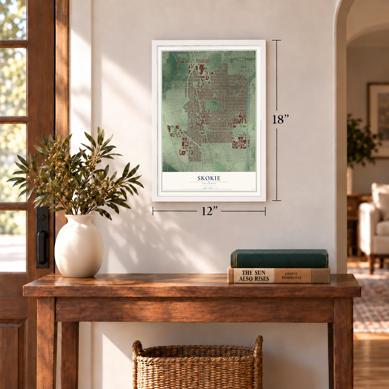

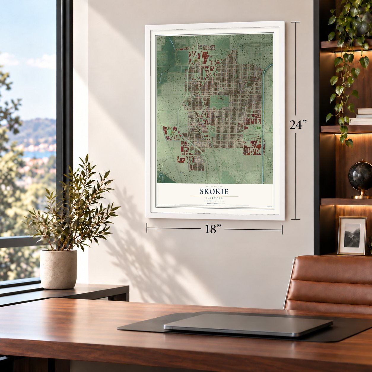
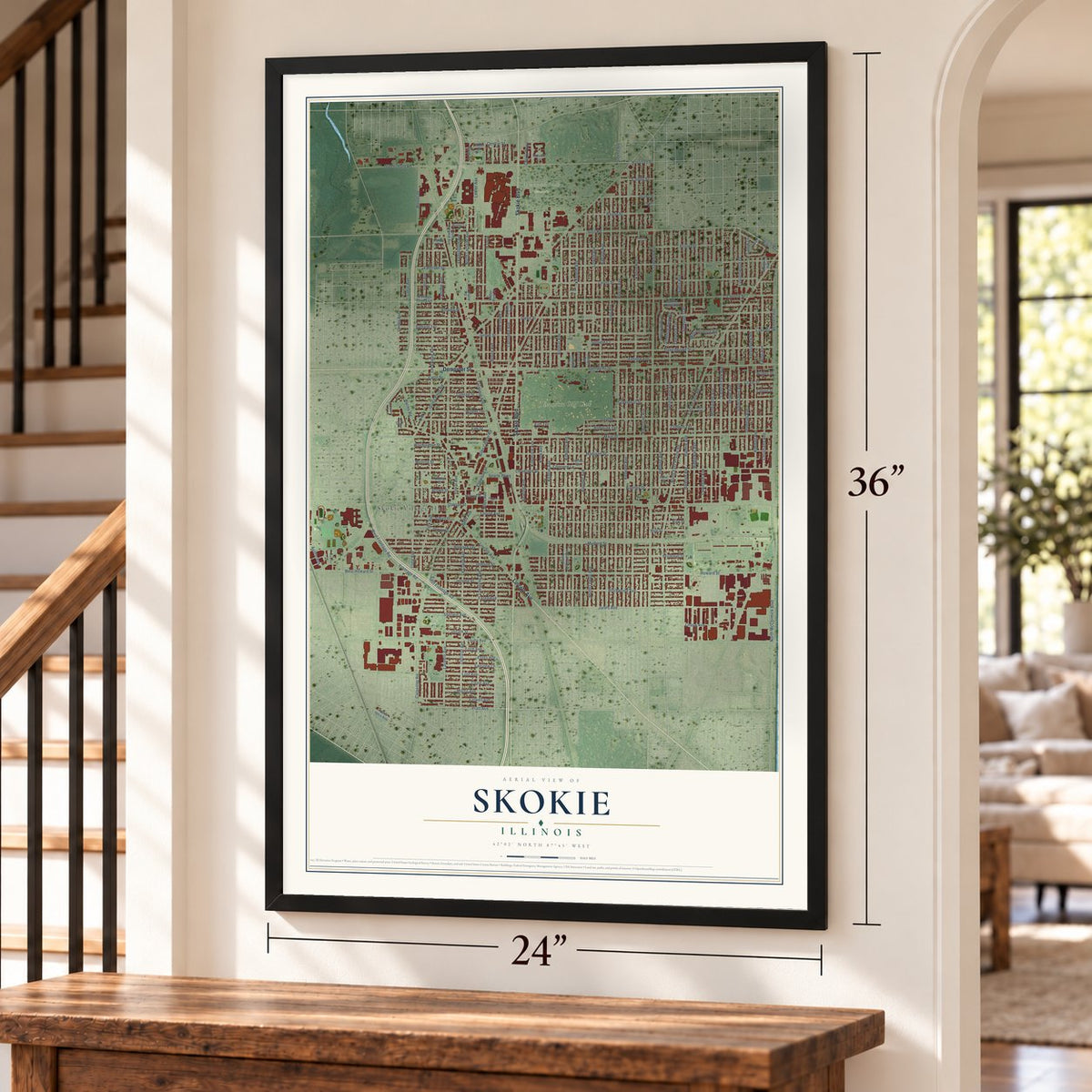
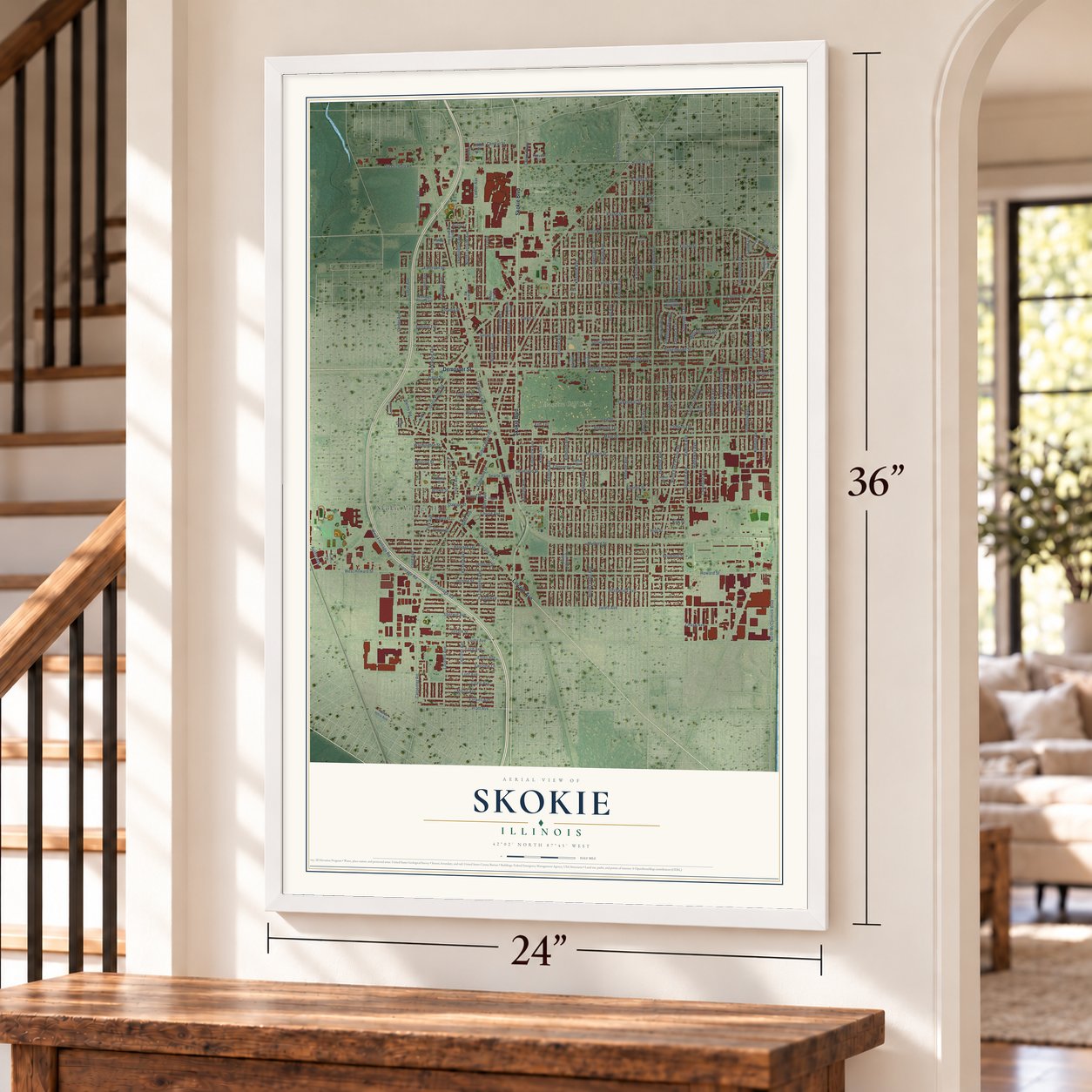

Free U.S. delivery 7 to 10 days after you order
Skokie, Illinois Map Art
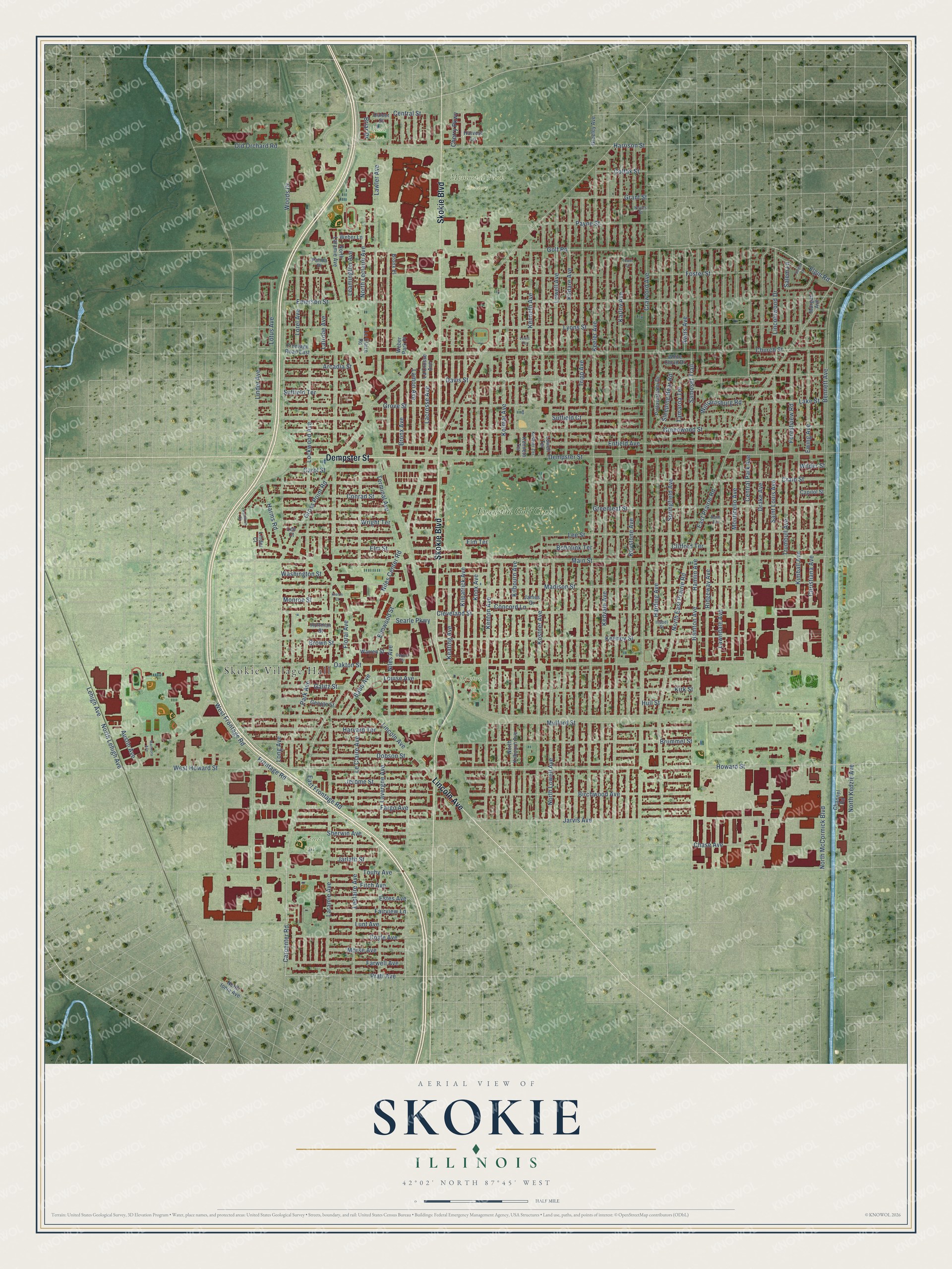
A new map of Skokie, Illinois, made in 2026 and printed to order on thick archival matte paper.
12" x 18" Archival Matte Print
A Map of Home. A Work of Art.
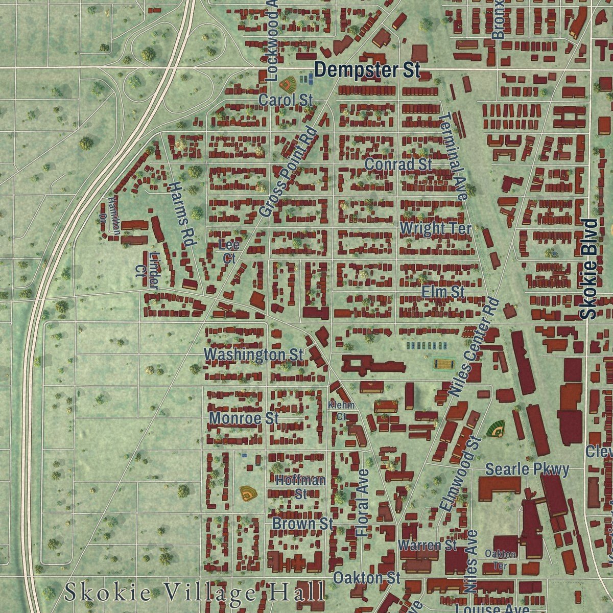
Explore Skokie, Illinois from a whole new perspective. Created using aerial imagery and detailed geographic data, this map captures Skokie building by building, with labeled streets, familiar landmarks, and shaded topographical relief that highlights the natural contours of the landscape.
Combining modern data with the timeless character of a vintage atlas, this map is just as interesting up close as it is beautiful on the wall. Whether you grew up in Skokie, spent memorable years there, or call it home today, this unique map is a great way to celebrate a place that means something to you. Zoom in on the preview to look for your street, and then order a print to put your memories on the wall.
Three ways to hang it
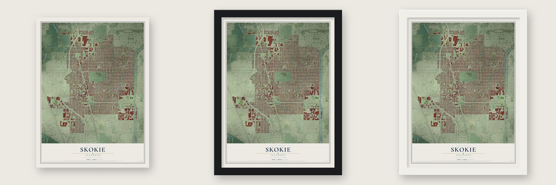
Unframed archival matte, a black wood frame or a white wood frame.
Up close
Geography Worth Displaying
This map was created using accurate cartographic data and authoritative geographic sources, including the U.S. Geological Survey and the Census Bureau. The map brings together terrain, waterways, roads, and building detail. The majority of the streets are labeled, houses are accurately depicted, and the topography is derived from government sources. Combining local data with carefully composed color and shading leads to this beautifully detailed Skokie artwork for your wall.
Rather than simply showing street outlines, we’ve included as many of the street names as we could reasonably fit on the map while keeping their names legible. Zoom in on the high resolution preview to see exactly what’s on the map. We truly set out to create a statement piece for anyone who loves Skokie. So whether it’s for you, or a gift for someone you love, we hope this map of Skokie brings back fond memories.
Read the story behind this map of Skokie, Illinois from 2026.

About Skokie, Illinois
Skokie is a village of 67,824 people in Cook County, about 15 miles north of downtown Chicago. It began as a farming settlement of German and Luxembourger families and was incorporated in 1888 as Niles Centre, because it sat in the middle of Niles Township. Around 1910 the spelling became Niles Center, but mail kept going astray to the next-door village of Niles. A push for a new name started in the 1930s, and in a vote on November 15, 1940, residents picked Skokie over Devonshire. The name comes from a Potawatomi word for marsh.
Builders split up big tracts during the 1920s boom and put up two-flats, three-flats and Chicago-style bungalows, just as trains began running to town on March 28, 1925. The crash of 1929 and the Depression stopped that growth. Building took off again in the 1940s and 1950s, when young families left Chicago for the suburbs, and stores followed them, including the Old Orchard Shopping Center.
- A Jewish suburb after the warAfter World War II, developers advertised Skokie in Chicago's older Jewish neighborhoods, and newcomers found less hostility here than in some other suburbs. By 1975 Jewish residents were 57% of the village. An estimated 8,000 Holocaust survivors settled here, and the streets filled with synagogues, Hebrew schools, delis, kosher butchers and Israeli bakeries. The Illinois Holocaust Museum and Education Center opened in Skokie in 2009.
- The march that never cameIn 1977 and 1978 a neo-Nazi group, the National Socialist Party of America, tried to march in Skokie because so many Holocaust survivors lived here. The village refused a permit, and the American Civil Liberties Union took the group's side in a case that reached the Supreme Court. Skokie lost, but the march never took place here: once Chicago lifted its ban, the group held its rally there instead. The 1981 television film Skokie told the story.
- Baby Face Nelson, 1934In November 1934 the bank robber Baby Face Nelson was shot in a gunfight in Barrington that also killed two FBI agents. That night two of his accomplices left his body in a ditch along Niles Center Road, next to the St. Peter Catholic Cemetery grounds, one block up the road from Oakton Street.
- Sculptures along the channelThe Skokie Northshore Sculpture Park runs beside the North Shore Channel on the east side of McCormick Boulevard, between Dempster Street and Touhy Avenue. Its first sculptures went up in 1988, and it now holds over 70 of them, with docent tours from May through October.
Find your street
Names on the Skokie map
Every name below is printed on this map. Look for your street, your school, the park where you played, or the pond down the road.
Places and landmarks6
- Skokie Village Hall
- Memorial Park Cemetery
- Oakton Park
- Laramie Park
- Reid Park
- Evanston Golf Club
Streets and roads186
- Skokie Boulevard
- Dempster Street
- Lincoln Avenue
- Howard Street
- Main Street
- Niles Center Road
- Kenton Avenue
- Long Avenue
- Lamon Avenue
- Frontage Road
- North East Prairie Road
- East Frontage Road
- Terminal Avenue
- Pratt Avenue
- Carpenter Road
- Elgin Road
- Elm Terrace
- Oakton Street
- Gross Point Road
- Crawford Avenue
- Karlov Avenue
- Keeler Avenue
- Kedvale Avenue
- Golf Road
- North McCormick Boulevard
- Church Street
- Laramie Avenue
- Greenwood Street
- Keystone Avenue
- Kildare Avenue
Show all 186 streets
- Madison Street
- Hamlin Avenue
- Mulford Street
- Leclaire Avenue
- Kostner Avenue
- Davis Street
- Lockwood Avenue
- Tripp Avenue
- Old Orchard Road
- Lowell Avenue
- Kolmar Avenue
- Cleveland Street
- Kilbourn Avenue
- Jarvis Avenue
- Lee Street
- Central Park Avenue
- Lavergne Avenue
- Grove Street
- Crain Street
- Kenneth Avenue
- Greenleaf Street
- Brummel Street
- Emerson Street
- Lyons Street
- Lawndale Avenue
- Birchwood Avenue
- Touhy Avenue
- Foster Street
- Keeney Street
- Enfield Avenue
- Ridgeway Avenue
- Monticello Avenue
- East Prairie Road
- Harding Avenue
- Saint Louis Avenue
- Linder Avenue
- Springfield Avenue
- Kirk Street
- Kilpatrick Avenue
- Drake Avenue
- Lawler Avenue
- Fargo Avenue
- Knox Avenue
- Harvard Terrace
- Lorel Avenue
- West Frontage Road
- Avers Avenue
- Suffield Court
- Keating Avenue
- Dobson Street
- Bennett Avenue
- Lincolnwood Drive
- Jerome Street
- Lacrosse Avenue
- Payne Street
- Conrad Street
- Ewing Avenue
- Wright Terrace
- Kimball Avenue
- Carol Street
- Arcadia Street
- Hamton Avenue
- West Howard Street
- Trumbull Avenue
- Latrobe Avenue
- Forestview Road
- Bronx Avenue
- Woods Drive
- Washington Street
- Chase Avenue
- Le Claire Avenue
- Coyle Avenue
- Lehigh Avenue
- North Lehigh Avenue
- Niles Avenue
- Williamsburg Road
- Park Avenue
- Louise Avenue
- North Kedzie Avenue
- Christiana Avenue
- Hull Street
- Sherwin Avenue
- Farwell Avenue
- Salem Lane
- North Lowell Avenue
- North Leclaire Avenue
- Harms Road
- Fairview Lane
- Lunt Avenue
- Suffield Terrace
- Elm Street
- Austin Avenue
- Grant Street
- Bobolink Terrace
- Lake Street
- Estes Avenue
- Morse Avenue
- Central Street
- Samoset Trail
- Elmwood Street
- Lotus Avenue
- Galitz Street
- Searle Parkway
- Fitch Avenue
- Babb Avenue
- Harrison Street
- Brown Street
- Sleeping Bear Road
- Floral Avenue
- Concord Lane
- Leamington Avenue
- Colfax Street
- Jarlath Street
- Tamaroa Terrace
- Monroe Street
- Cherry Parkway
- Clifford Terrace
- Briar Drive
- Wilder Street
- La Crosse Avenue
- George Street
- Frontage Road East
- North Kilbourn Avenue
- Pottawattami Drive
- Warren Street
- Channel Road
- James Drive
- North Laramie Avenue
- Bronx Place
- White Cloud Drive
- Greeley Avenue
- Weber Park Place
- Palma Place
- Capitol Street
- Lowell Terrace
- North Ionia Avenue
- Kenneth Terrace
- Hoffman Street
- Weber Lane
- Le Claire Road
- Morgan Avenue
- Harvest Lane
- Culver Street
- Linder Court
- Lee Court
- Isabel Street
- Kostner Terrace
- Roth Terrace
- Noyes Street
- Hamilton Drive
- Oakton Terrace
- Marmora Avenue
- Salem Circle
- Klehm Court
- Tower Circle
- Lewis Terrace
Names are listed as they appear on the printed map. Zoom into the product photos to find them.
The art of mapping a place
How This Map Was Made
Real places. Remarkable detail. Discover the layers that turn geographic data into a map of home.

The view from above
Aerial imagery reveals the character of the land: woodland, open fields, and the patterns of a place.

The shape of the land
Elevation data brings hills, valleys, and subtle changes in the landscape into view.

The details of home
Roads, waterways, and building footprints come together to make the map feel unmistakably local.

Geography becomes art
Considered color, shading, and typography bring the layers together in a map made for your wall.


Process illustrated with Mendon, Massachusetts. Aerial imagery: USDA NAIP. Terrain: USGS 3D Elevation Program. Map details and finished artwork: KNOWOL.
The Details
About This Print
Choose an archival matte print, or a black or white Ayous wood frame. The archival matte print is unframed.
Select your size and finish above to see the matching product image and price.
Materials & Craftsmanship
A contemporary map with the character of a classic atlas, printed on archival matte paper. Optional frames are made from Ayous wood.
Your printed map does not include the watermark shown in the full-map preview.
Shipping & Delivery
Free shipping within the United States. Every print is made to order in the USA.
Buying a gift? Add a note in your cart and we'll include it. We never put prices in the package.
Prints ship within 2 to 3 business days. Allow 7 to 10 days total from ordering for delivery. Timing may vary during holidays or periods of high order volume.
Read our shipping policy.
Returns and damaged prints
Each print is made to order. Change-of-mind refunds are not available after production.
If your print arrives damaged, misprinted or incorrect, contact support@knowol.com within 30 days of receiving it. Include your order number, photos and a description of the issue.
Read our full refund and replacement policy. For questions about your order, email support@knowol.com.
Find your town
Looking for another city?
Find a map of home in our Illinois collection, or any town in the country.
Nearby
Maps of towns near Skokie
Know someone from one of these towns? Their map makes a great gift.
 Lincolnwood
, Illinois
From $39.99See the map
 Evanston
, Illinois
From $39.99See the map
 Morton Grove
, Illinois
From $39.99See the map
More maps nearby: Golf, Wilmette, Niles, Kenilworth and Winnetka.