
Search for another town




Free U.S. delivery 7 to 10 days after you order
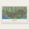
Goleta, California Map Art
A new map of Goleta, California, made in 2026 and printed to order on thick archival matte paper.
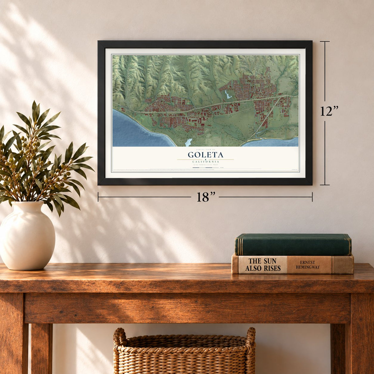
12" x 18" Archival Matte Print
A Map of Home. A Work of Art.
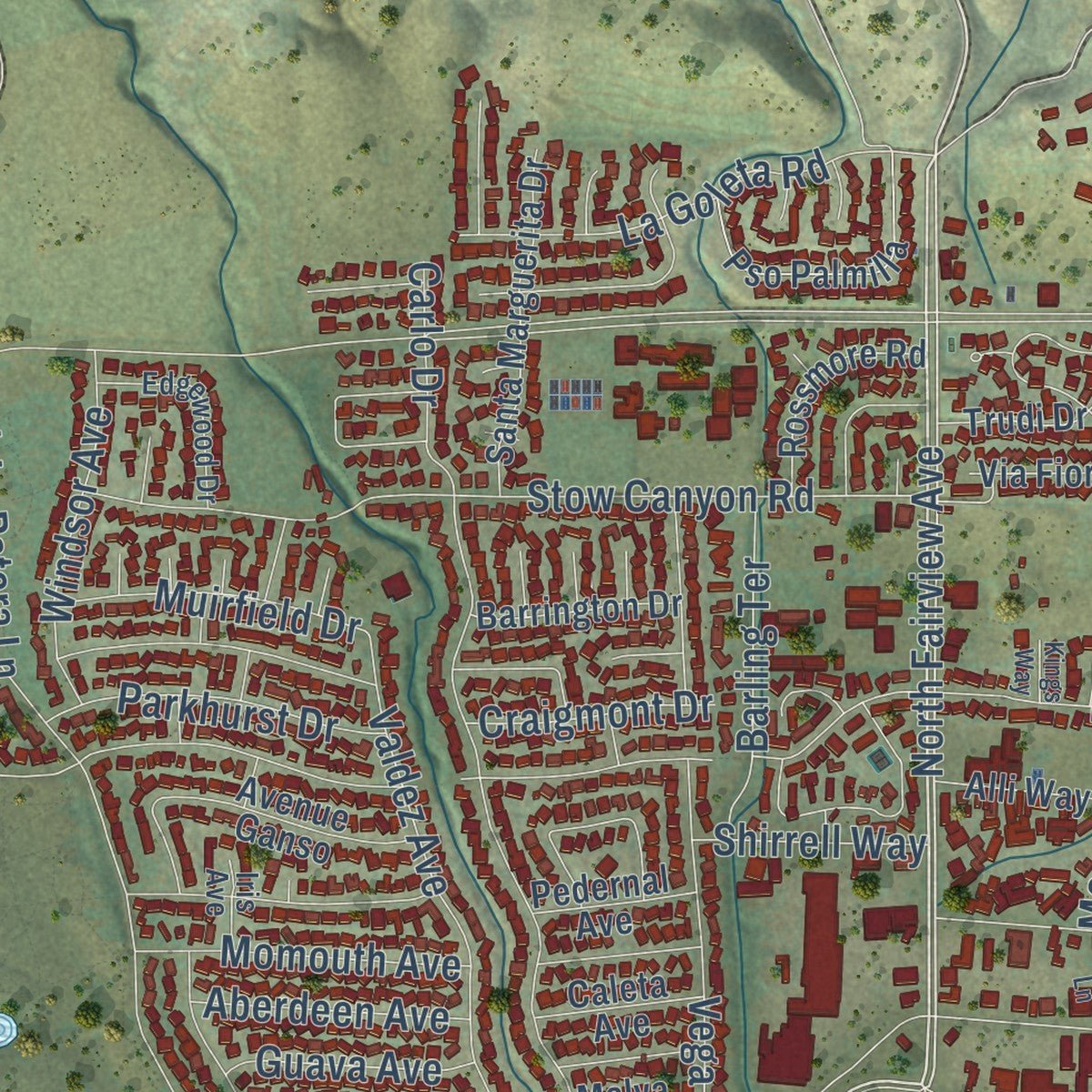
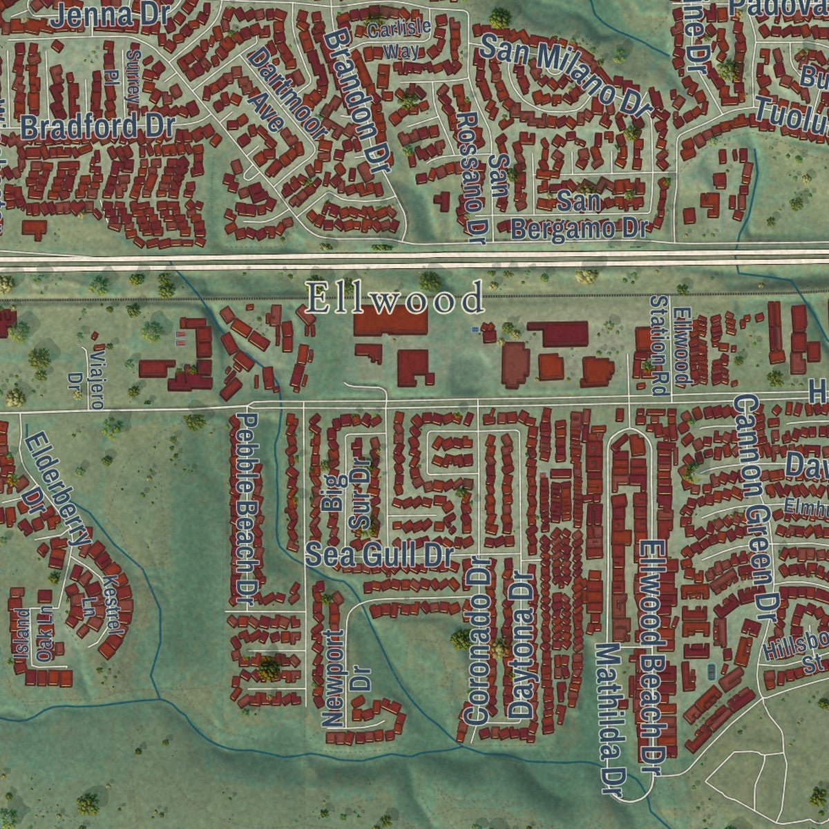
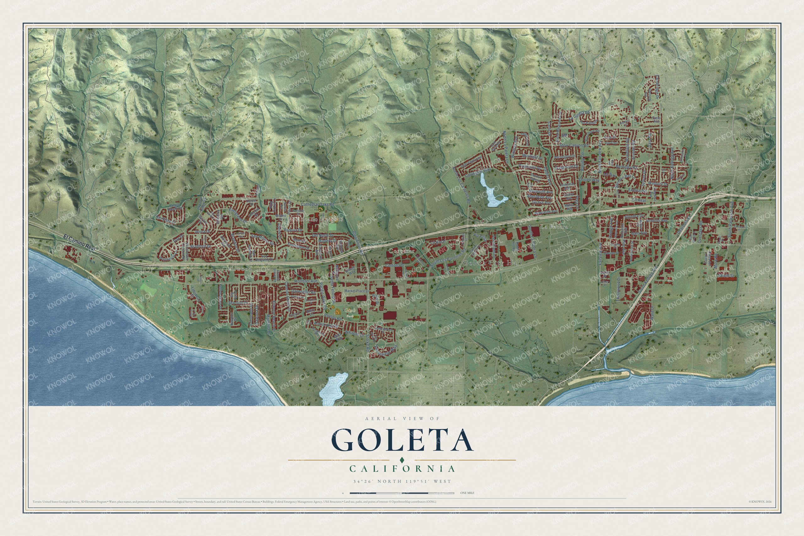
Explore Goleta, California from a whole new perspective. Created using aerial imagery and detailed geographic data, this map captures Goleta building by building, with labeled streets, familiar landmarks, and shaded topographical relief that highlights the natural contours of the landscape.
Combining modern data with the timeless character of a vintage atlas, this map is just as interesting up close as it is beautiful on the wall. Whether you grew up in Goleta, spent memorable years there, or call it home today, this unique map is a great way to celebrate a place that means something to you. Zoom in on the preview to look for your street, and then order a print to put your memories on the wall.
Three ways to hang it
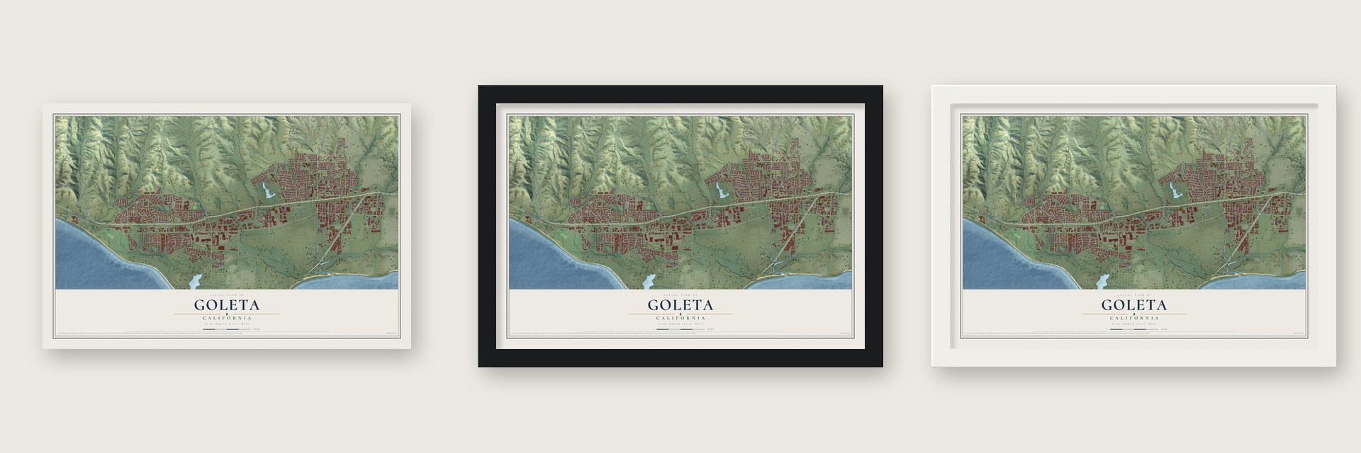
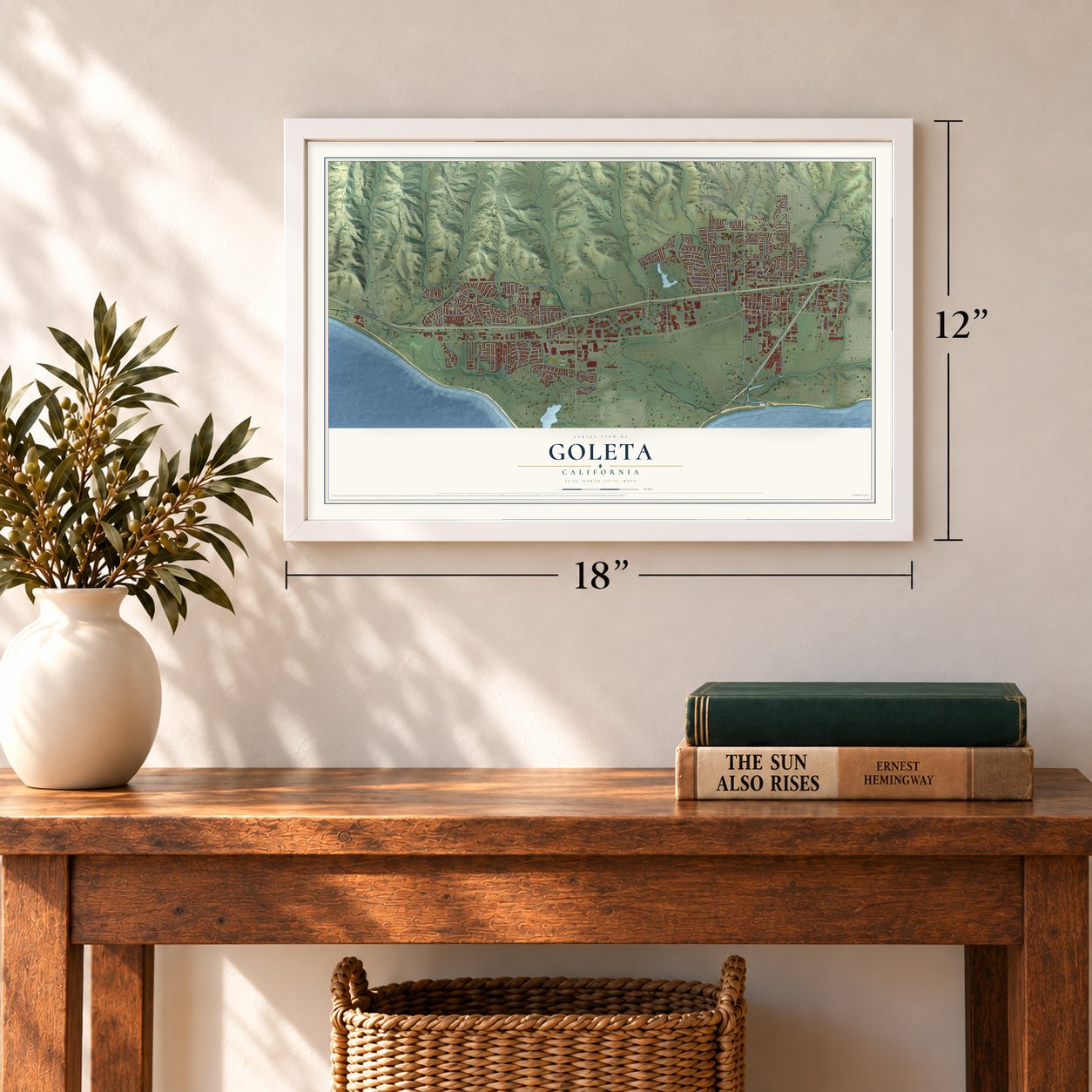
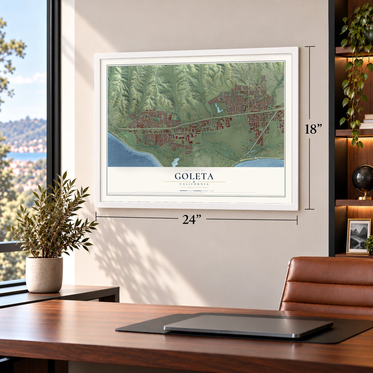
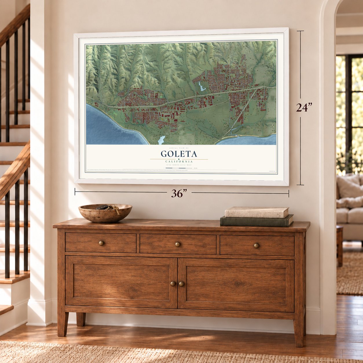
Unframed archival matte, a black wood frame or a white wood frame.
Up close
Geography Worth Displaying
This map was created using accurate cartographic data and authoritative geographic sources, including the U.S. Geological Survey and the Census Bureau. The map brings together terrain, waterways, roads, and building detail. The majority of the streets are labeled, houses are accurately depicted, and the topography is derived from government sources. Combining local data with carefully composed color and shading leads to this beautifully detailed Goleta artwork for your wall.
Rather than simply showing street outlines, we’ve included as many of the street names as we could reasonably fit on the map while keeping their names legible. Zoom in on the high resolution preview to see exactly what’s on the map. We truly set out to create a statement piece for anyone who loves Goleta. So whether it’s for you, or a gift for someone you love, we hope this map of Goleta brings back fond memories.
Read the story behind this map of Goleta, California from 2026.
About Goleta, California
Goleta is a city of 32,690 people in Santa Barbara County, about 8 miles west of Santa Barbara. The Chumash people lived here for thousands of years, and S'axpilil, one of their largest villages, stood north of the Goleta Slough. When Gaspar de Portolà led the first land expedition through in 1769, the slough was a wide lagoon of open water. It covered most of today's city and reached as far north as Lake Los Carneros, beside Stow House, and at least five native towns stood around it.
Goleta is Spanish for schooner. Sometime after Juan Bautista de Anza's expeditions, a sailing ship wrecked at the lagoon's mouth and stayed in view for years. After Mexico won independence in 1821, the mission lands were split into big ranchos. Rancho La Goleta, east of today's Fairview Avenue, took its name from the wreck and went to Daniel A. Hill, the first American to live in Santa Barbara, and its 1840s claim map even shows the ship. In 1842 the land to the west became Rancho Dos Pueblos, granted to Hill's son-in-law, the Irish immigrant Nicholas Den.
- Mescalitan IslandThe largest native town of 1769 sat on an island in the lagoon. Portolà's soldiers called it Mescaltitlan, after an island town of the Aztecs in Nayarit, Mexico, and the name stuck to the island as Mescalitan. In 1941 the island was bulldozed flat to fill land for a military airfield, now Santa Barbara Airport. The Goleta Sanitary District's wastewater plant stands where it was.
- Shelled by a submarine in 1942Goleta grew lemons, and oil and gas wells covered the Ellwood Mesa. Santa Barbara boosters began an airport on the slough in 1940. In 1942 a Japanese submarine fired on the Ellwood Oil Field, among the few times the U.S. mainland was attacked directly during World War II, and the airfield's value became plain. The Marine Corps completed it as an air station. In 1954 part of the old base became home to the University of California, Santa Barbara.
- A ship built in 1828Not everyone credits the wreck for the town's name. The historian Justin Ruhge has suggested it came from a ship built in the slough in 1828, which he counts as the first American ship ever built in California.
- Did Drake sail in?In the 1980s a 16th-century cannon turned up on the beach, and some people argued that Sir Francis Drake had sailed into the Goleta Slough in 1579. That made Goleta the farthest south of the many places proposed for Drake's New Albion, though most historians place it at Drake's Bay, north of San Francisco.
Find your street
Names on the Goleta map
Every name below is printed on this map. Look for your street, your school, the park where you played, or the pond down the road.
Places and landmarks6
- Goleta City Hall
- La Patera
- Ellwood
- El Encano Heights
- Coromar
- Girsh Park
Streets and roads168
- El Camino Real
- North Fairview Avenue
- Fairview Avenue
- Hollister Avenue
- Storke Road
- Rio Vista Drive
- Cathedral Oaks Road
- South Patterson Avenue
- Mathilda Drive
- Ellwood Beach Drive
- Sweetwater Way
- Cll Real
- South Los Carneros Road
- Stow Canyon Road
- Phelps Road
- Covington Way
- South Kellogg Avenue
- Berkeley Road
- Cambridge Drive
- La Goleta Road
- Ward Drive
- Carlo Drive
- North La Patera Lane
- North Los Carneros Road
- Pacific Oaks Road
- Evergreen Drive
- Overpass Road
- Glen Annie Road
- Santa Felicia Drive
- Del Norte Drive
Show all 168 streets
- Cll Koral
- Brandon Drive
- Cortona Drive
- Armitos Avenue
- Padova Drive
- Valdez Avenue
- North Kellogg Avenue
- Thornwood Drive
- Encina Road
- Daytona Drive
- Ekwill Street
- Coronado Drive
- Davenport Road
- Wakefield Road
- Cannon Green Drive
- Tuolumne Drive
- Vega Drive
- Moreton Bay Lane
- San Milano Drive
- Arundel Road
- Pine Avenue
- Windsor Avenue
- South La Patera Lane
- Dearborn Place
- Aero Camino
- Parkhurst Drive
- Orange Avenue
- Barling Terrace
- Armstrong Road
- Momouth Avenue
- Muirfield Drive
- Via Luisa
- Jenna Drive
- Sea Gull Drive
- Madera Drive
- Bradford Drive
- More Road
- Aberdeen Avenue
- Marbury Drive
- Whittier Drive
- Guava Avenue
- Sylvan Drive
- Craigmont Drive
- Shirrell Way
- Alpine Drive
- Dara Road
- Gato Avenue
- Alondra Drive
- Day Drive
- McDonald Place
- Plaza del Centro
- Nectarine Avenue
- Emily Lane
- Winchester Canyon Road
- Winchester Circle
- Cam Venturoso
- Placer Drive
- Salisbury Avenue
- Avenue Ganso
- Santa Marguerita Drive
- Langlo Ranch Road
- Pso Palmilla
- Newport Drive
- San Rossano Drive
- Via Bolzano
- Elderberry Drive
- Alli Way
- Forest Drive
- Pebble Beach Drive
- Market Place Drive
- Robin Hill Road
- Trudi Drive
- King Daniel Lane
- Mills Way
- Calaveras Avenue
- Rossmore Road
- Cam Viviente
- Newcastle Avenue
- Carson Street
- Dartmoor Avenue
- Rutherford Street
- San Bergamo Drive
- Big Sur Drive
- Barrington Drive
- Butte Drive
- Ellwood Ridge Road
- Bollay Drive
- Hillview Drive
- Village Way
- Kingston Avenue
- Gerard Drive
- Caleta Avenue
- Pedernal Avenue
- Mirano Drive
- Cielo Avenue
- Via Fiori
- Sonoma Avenue
- Malva Avenue
- Daley Street
- Shadowbrook Drive
- Camino Laguna Vis
- Castilian Drive
- Magnolia Avenue
- Ellwood Station Road
- Edgewood Drive
- Marymount Way
- Savona Avenue
- Mallard Avenue
- Bassano Drive
- Hidden Lane
- Compass Lane
- Gaviota Street
- Hillsboro Street
- Colusa Drive
- Iris Avenue
- Olney Street
- Somerset Drive
- Mendocino Drive
- Elmhurst Place
- Huntington Drive
- Reed Court
- High Grove Avenue
- San Napoli Drive
- Patterson Place
- Cremona Drive
- Carlisle Way
- Kestrel Lane
- Coromar Drive
- Northgate Drive
- Saint Josephs Street
- Island Oak Lane
- Fordham Place
- Encina Lane
- Surrey Place
- Viajero Drive
- Chapel Street
- Kings Way
- York Place
Names are listed as they appear on the printed map. Zoom into the product photos to find them.
The art of mapping a place
How This Map Was Made
Real places. Remarkable detail. Discover the layers that turn geographic data into a map of home.

The view from above
Aerial imagery reveals the character of the land: woodland, open fields, and the patterns of a place.

The shape of the land
Elevation data brings hills, valleys, and subtle changes in the landscape into view.

The details of home
Roads, waterways, and building footprints come together to make the map feel unmistakably local.

Geography becomes art
Considered color, shading, and typography bring the layers together in a map made for your wall.


Process illustrated with Mendon, Massachusetts. Aerial imagery: USDA NAIP. Terrain: USGS 3D Elevation Program. Map details and finished artwork: KNOWOL.
The Details
About This Print
Choose an archival matte print, or a black or white Ayous wood frame. The archival matte print is unframed.
Select your size and finish above to see the matching product image and price.
Materials & Craftsmanship
A contemporary map with the character of a classic atlas, printed on archival matte paper. Optional frames are made from Ayous wood.
Your printed map does not include the watermark shown in the full-map preview.
Shipping & Delivery
Free shipping within the United States. Every print is made to order in the USA.
Buying a gift? Add a note in your cart and we'll include it. We never put prices in the package.
Prints ship within 2 to 3 business days. Allow 7 to 10 days total from ordering for delivery. Timing may vary during holidays or periods of high order volume.
Read our shipping policy.
Returns and damaged prints
Each print is made to order. Change-of-mind refunds are not available after production.
If your print arrives damaged, misprinted or incorrect, contact support@knowol.com within 30 days of receiving it. Include your order number, photos and a description of the issue.
Read our full refund and replacement policy. For questions about your order, email support@knowol.com.
Find your town
Looking for another city?
Find a map of home in our California collection, or any town in the country.
Nearby
Maps of towns near Goleta
Know someone from one of these towns? Their map makes a great gift.
 University of California-Santa Barbara
, California
From $39.99See the map
 Isla Vista
, California
From $39.99See the map
 Eastern Goleta Valley
, California
From $39.99See the map
More maps nearby: Mission Canyon, Santa Barbara, Montecito, Summerland and Toro Canyon.