
Search for another town

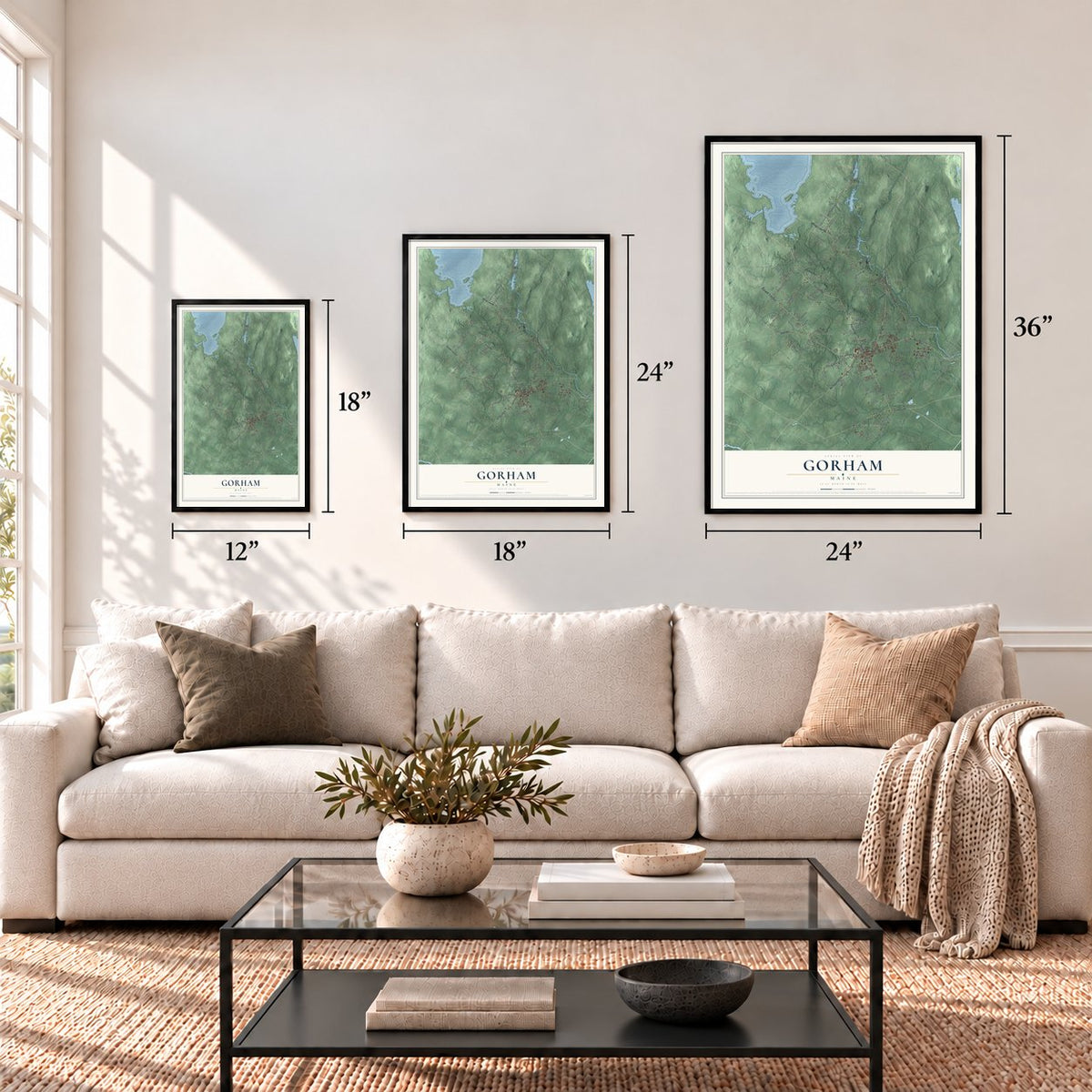

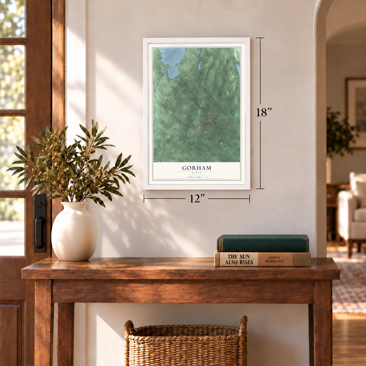
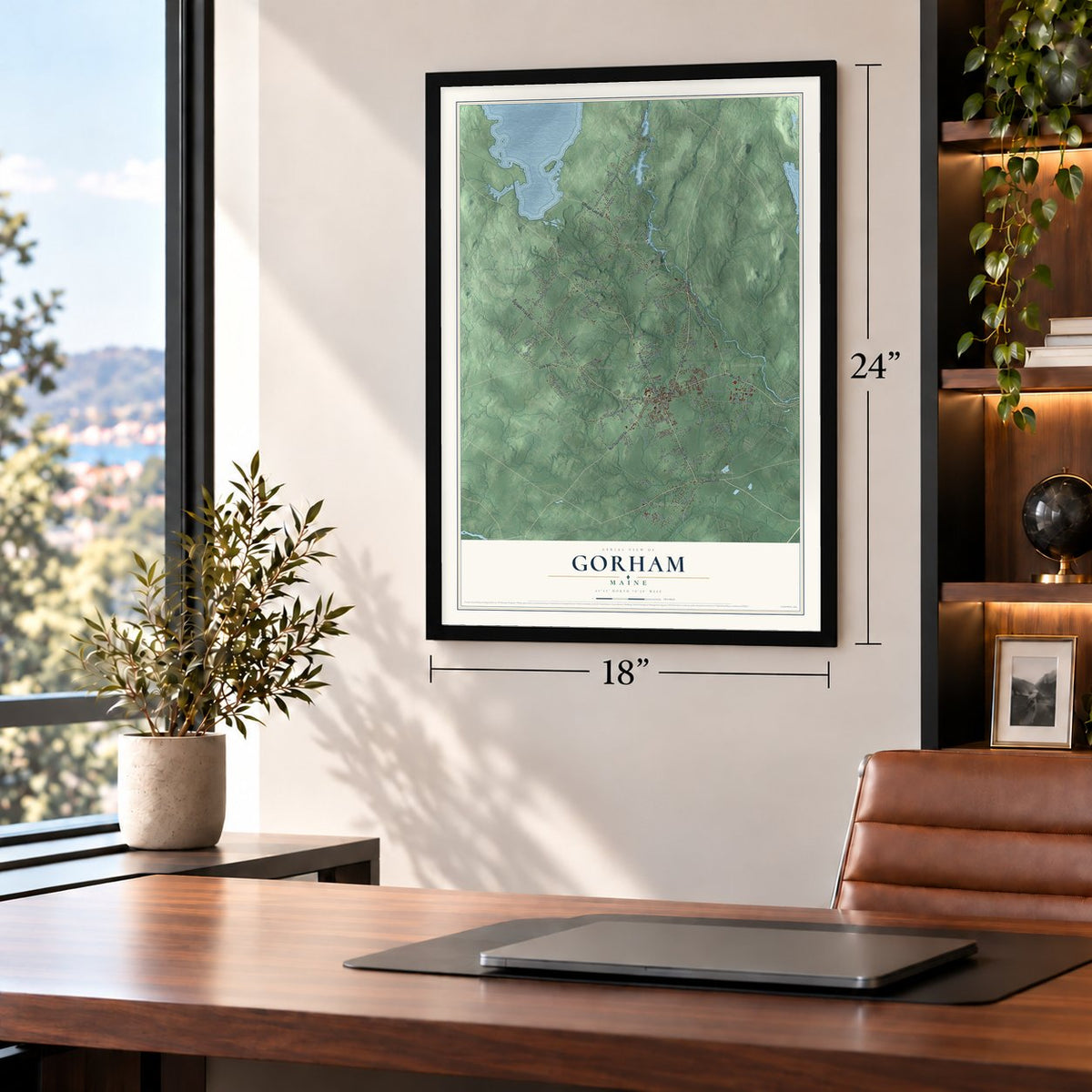
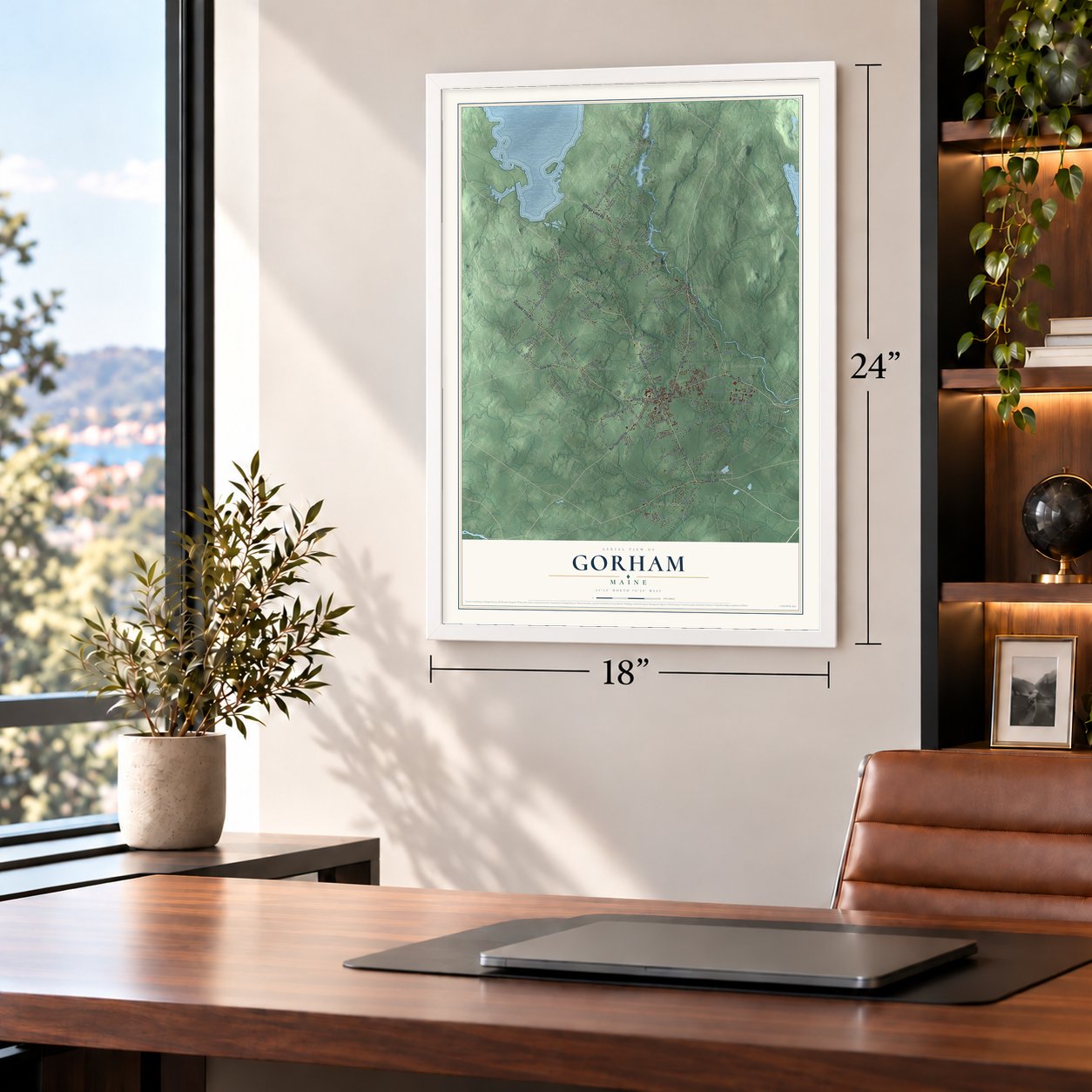
Free U.S. delivery 7 to 10 days after you order
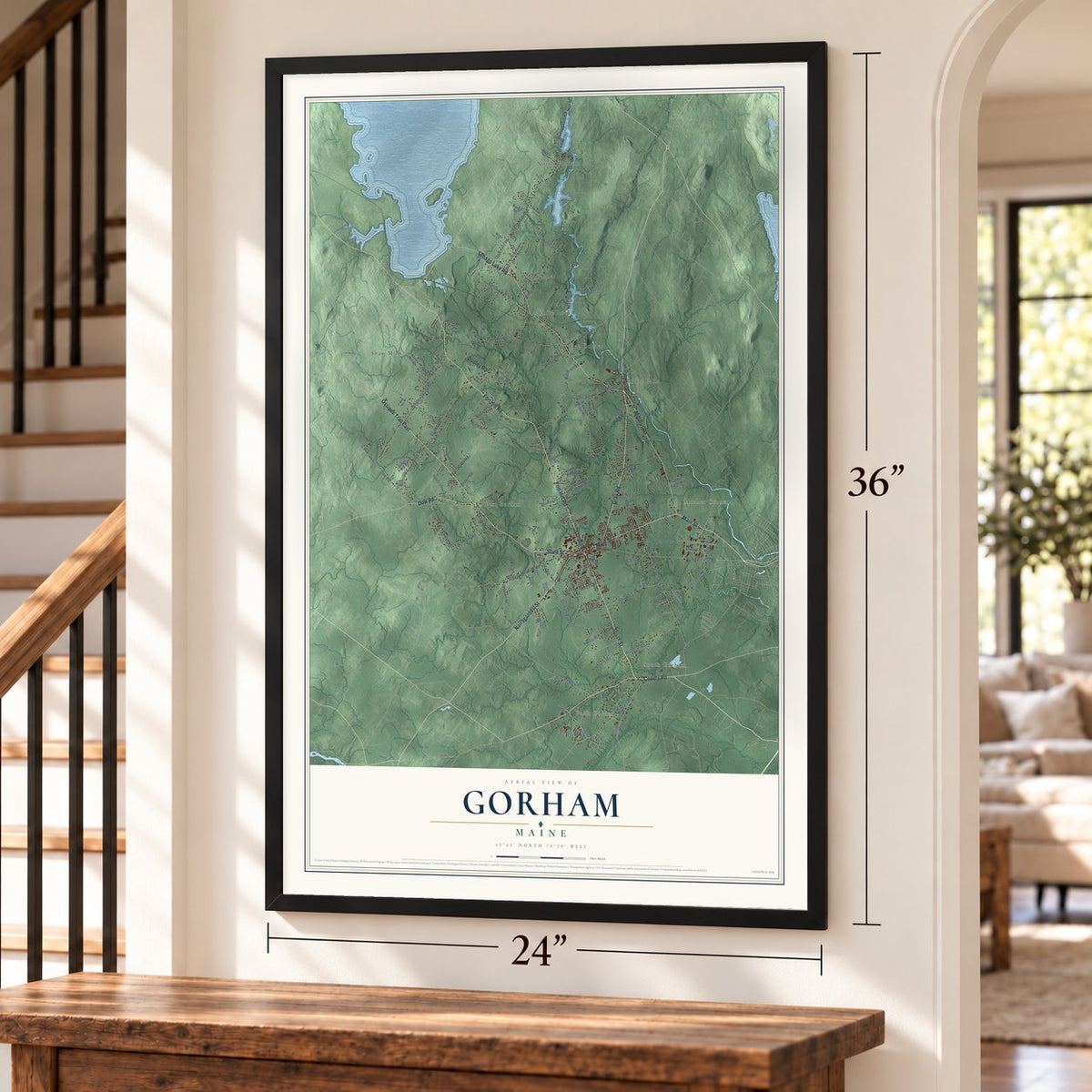
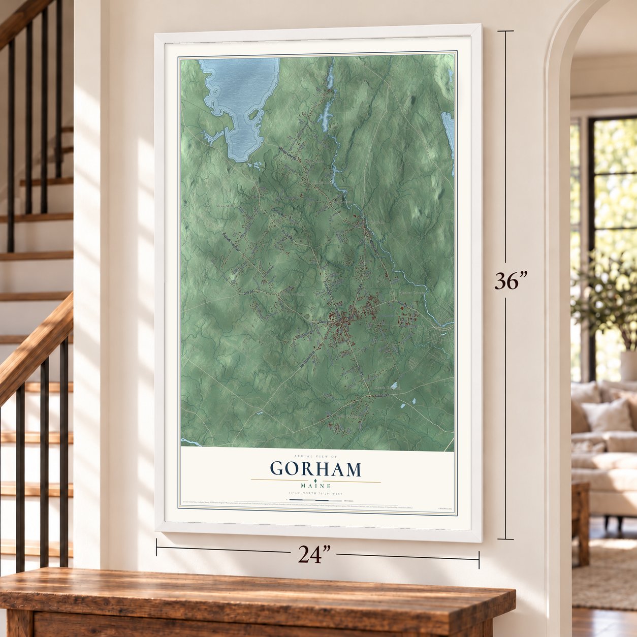
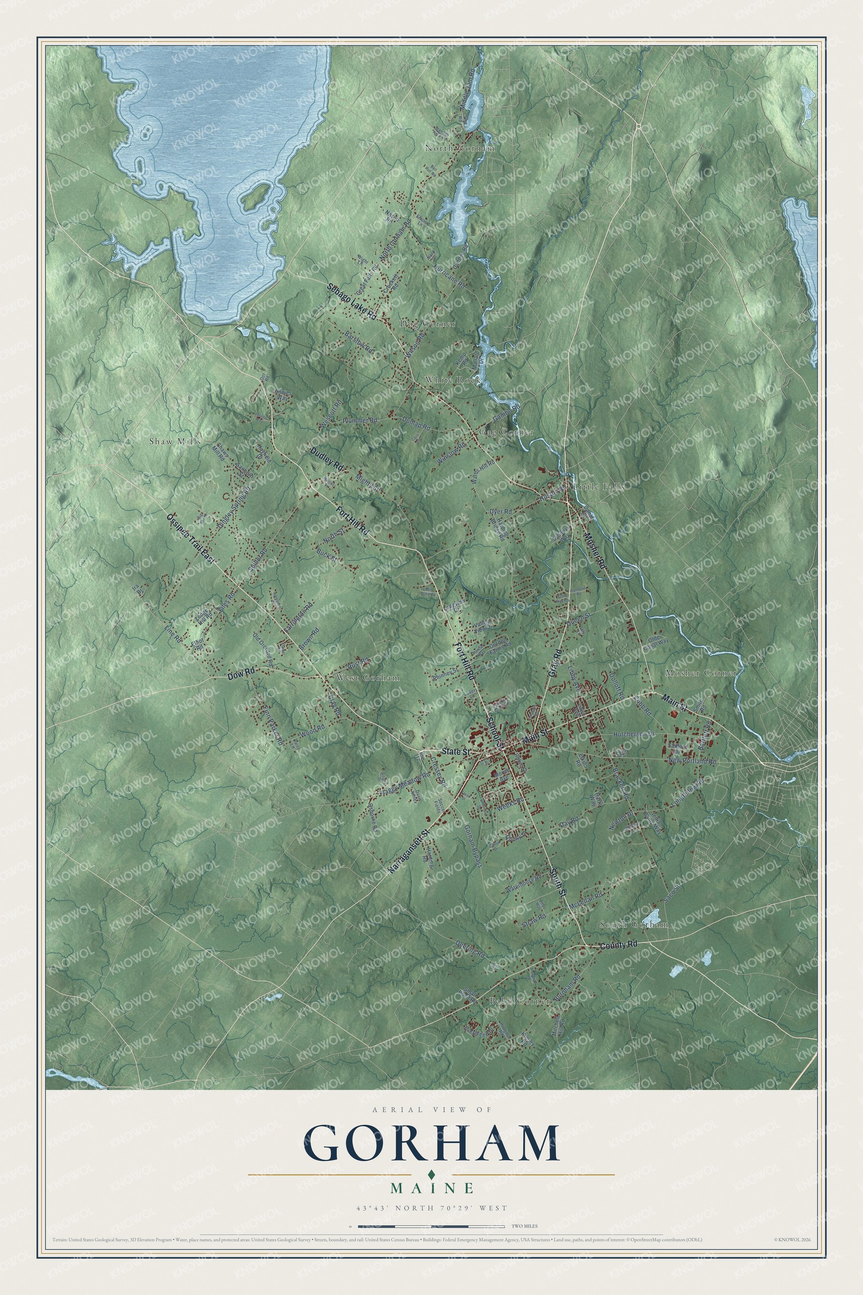
Gorham, Maine Map Art
Building by building, with labeled streets and shaded relief.
12" x 18" Archival Matte Print
A Map of Home. A Work of Art.
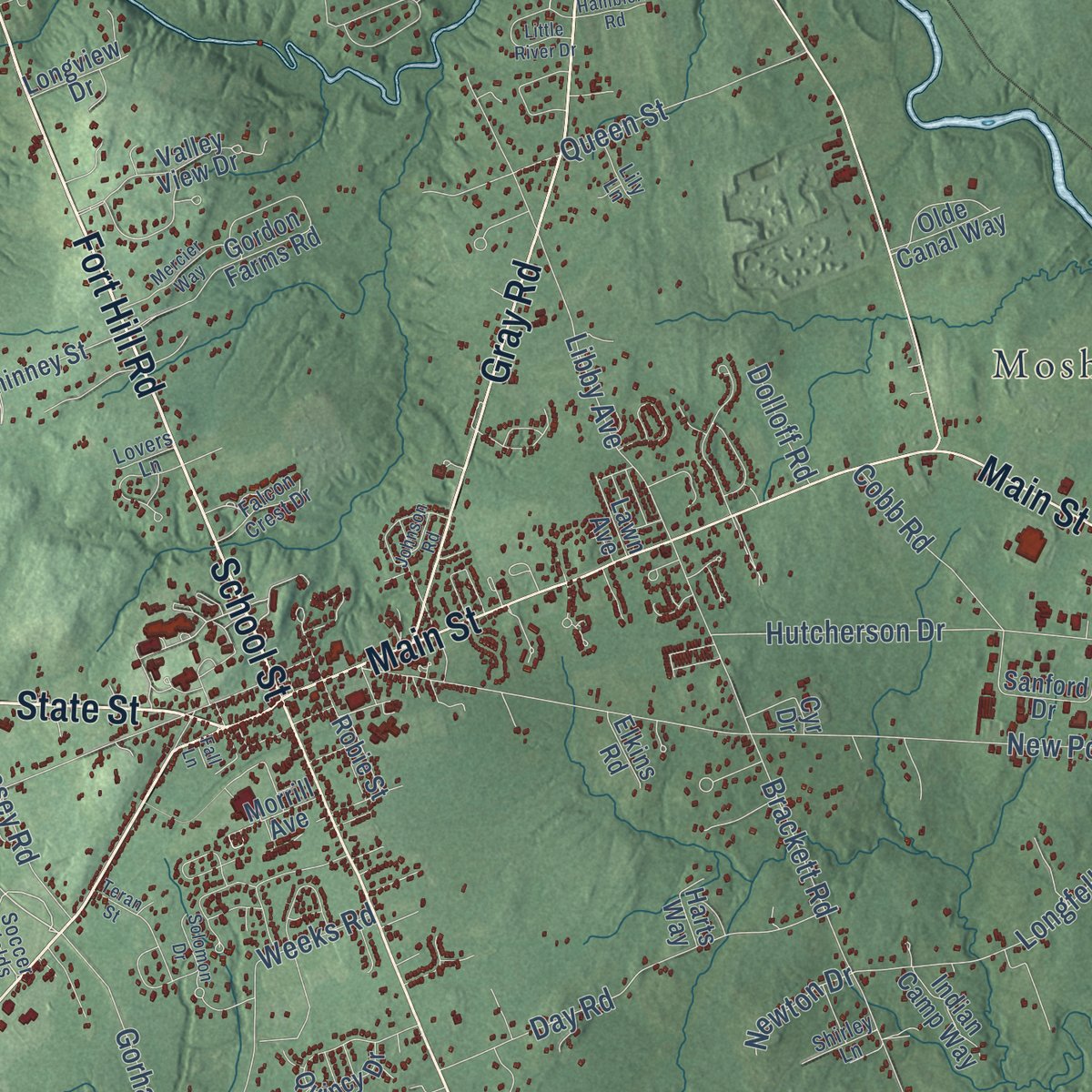
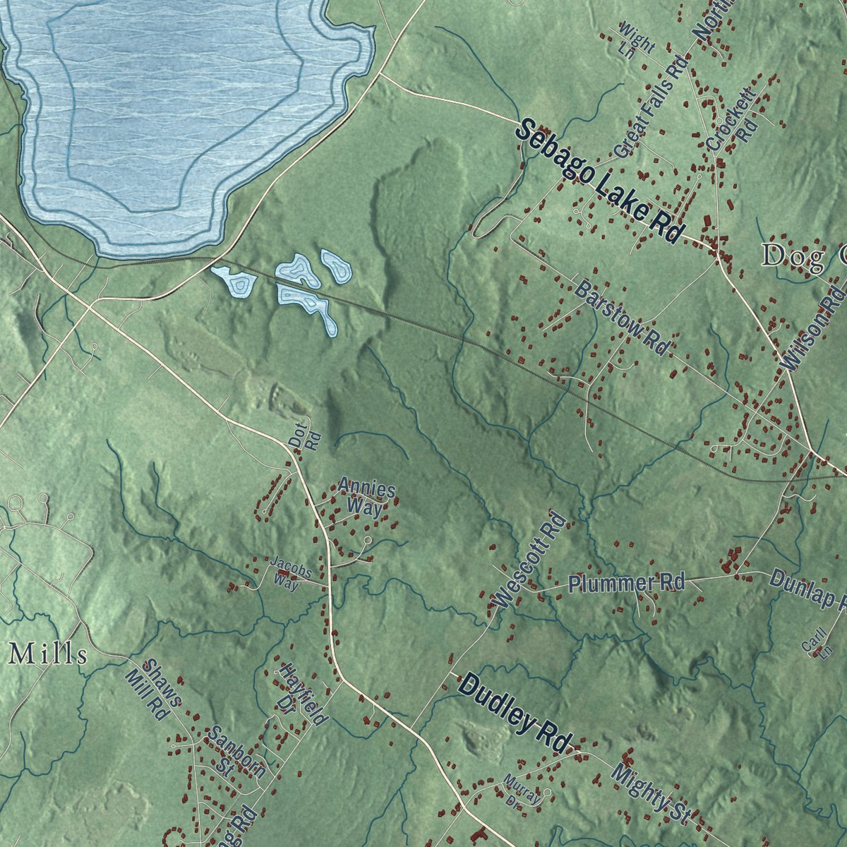
Explore Gorham, Maine from a whole new perspective. Created using aerial imagery and detailed geographic data, this map captures Gorham building by building, with labeled streets, familiar landmarks, and shaded topographical relief that highlights the natural contours of the landscape.
Combining modern data with the timeless character of a vintage atlas, this map is just as interesting up close as it is beautiful on the wall. Whether you grew up in Gorham, spent memorable years there, or call it home today, this unique map is a great way to celebrate a place that means something to you. Zoom in on the preview to look for your street, and then order a print to put your memories on the wall.
Three ways to hang it
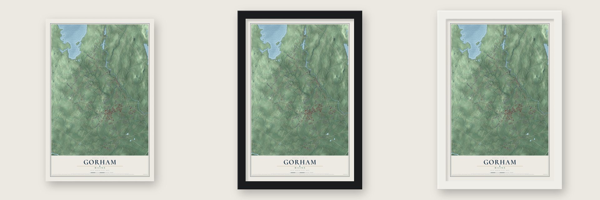
Unframed archival matte, a black wood frame or a white wood frame.
Up close
Geography Worth Displaying
This map was created using accurate cartographic data and authoritative geographic sources, including the U.S. Geological Survey (USGS) and FEMA. The map brings together terrain, waterways, roads, and building detail. The majority of the streets are labeled, houses are accurately depicted, and the topography is derived from government sources. Combining local data with carefully composed color and shading leads to this beautifully detailed Gorham artwork for your wall.
Rather than simply showing street outlines, we’ve included as many of the street names as we could reasonably fit on the map while keeping their names legible. Zoom in on the high resolution preview to see exactly what’s on the map. We truly set out to create a statement piece for anyone who loves Gorham. So whether it’s for you, or a gift for someone you love, we hope this map of Gorham brings back fond memories.
Explore the full map of Gorham, Maine and read about the local places it shows.
Find your street
Names on the Gorham map
Every name below is printed on this map. Look for your street, your school, the park where you played, or the pond down the road.
Places and landmarks10
- Mosher Corner
- North Gorham
- Babb Corner
- Shaw Mills
- Dog Corner
- West Gorham
- South Gorham
- Little Falls
- Gag Corner
- White Rock
Streets and roads133
- Fort Hill Road
- Ossipee Trail East
- State Street
- School Street
- Gray Road
- Narragansett Street
- Sebago Lake Road
- Main Street
- South Street
- County Road
- Mosher Road
- Dow Road
- Dudley Road
- Gorham Bypass
- Cressey Road
- North Gorham Road
- Wescott Road
- Saco Street
- Dingley Spring Road
- Buck Street
- New Portland Road
- Libby Avenue
- Flaggy Meadow Road
- Huston Road
- Burnham Road
- Mighty Street
- Brackett Road
- Barstow Road
- Spiller Road
- Plummer Road
Show all 133 streets
- Hurricane Road
- Line Road
- Rust Road
- Wilson Road
- Files Road
- Hutcherson Drive
- McLellan Road
- Day Road
- Wood Road
- Queen Street
- Farrington Road
- Finn Parker Road
- Longfellow Road
- Dunlap Road
- Deering Road
- Brown Road
- Middle Jam Road
- Weeks Road
- Straw Road
- Gambo Road
- North Street
- Winslow Road
- Cobb Road
- Bartlett Road
- Clay Road
- Dyer Road
- Newton Drive
- Dolloff Road
- Evergreen Drive
- Robie Street
- Shaws Mill Road
- Harding Bridge Road
- Gordon Farms Road
- Mitchell Hill Road
- Ledge Hill Road
- Old Orchard Road
- Wards Hill Road
- Quincy Drive
- Osborne Road
- Valley View Drive
- Kemp Road
- Waterhouse Road
- Great Falls Road
- Sanford Drive
- Phinney Street
- Harding Road
- Dundee Road
- Mallard Drive
- Nason Road
- Sanborn Street
- Canal Street
- Sydneys Way
- Olde Canal Way
- Indian Camp Way
- Crockett Road
- Annies Way
- Smith Road
- Longview Drive
- Morrill Avenue
- Hayfield Drive
- Small Pond Road
- Elliot Road
- Lawn Avenue
- Harts Way
- Elkins Road
- Kinney Road
- Cyr Drive
- Ira Drive
- Route 112
- Soccer Fields
- Lovers Lane
- Hodgdon Road
- Falcon Crest Drive
- Davis Annex
- Wight Lane
- Elwood Lane
- Shirley Lane
- Lily Lane
- Daisy Lane
- Canal Road
- Bard Lane
- Dot Road
- Mill Pond Road
- Solomon Drive
- Johnson Road
- Mercier Way
- Alexander Drive
- Little River Drive
- Standish Neck Road
- Daniel Street
- Jacobs Way
- Murray Drive
- Adams Drive
- Carll Lane
- Caitlin Drive
- Plowman Road
- Hamblen Road
- Amys Way
- Bell Run Road
- Big Sky Drive
- Teran Street
- Lois Lane
- Fall Lane
Names are listed as they appear on the printed map. Zoom into the product photos to find them.
About Gorham, Maine
Gorham is a town of 18,336 people in Cumberland County, drained by the Little, Presumpscot and Stroudwater rivers. The Massachusetts General Court granted it as Narragansett Number 7, one of seven townships set aside for soldiers of the Narragansett War of 1675, or King Philip's War, and for their heirs. Captain John Phinney brought his family here in 1736, and Hugh McLellan and Daniel Mosher followed in 1738.
With no window glass, the first settlers built log houses and packed the gaps with moss and clay. John Gorham had the first sawmill running at Little River by 1743. The settlement, renamed Gorhamtown Plantation for the New England Ranger John Gorham I, was incorporated as Gorham in 1764. Its borders grew later, as pieces of Standish were added in 1831 and 1839 and a piece of Scarborough joined in 1864.
- Mills on the fallsGood soil served the farms, and the town's many falls powered its industry, with Portland close by as a market. Gorham's shops turned out carpet, textiles and clothing, barrels and lumber, and carriages, wagons and sleighs, and the town also had a tannery, a brickyard, a box factory, a corn cannery, a paper pulp mill and granite and marble works. Many of the old mills on the Presumpscot River now sit underwater, flooded when the Dundee Dam was built.
- From canal to railroadThe Cumberland and Oxford Canal opened in 1829, linking Casco Bay to Sebago Lake. John A. Poor's York and Cumberland Railroad reached Gorham in 1851 and left the canal so outdated that it closed in 1871. The line was torn up in 1961, and its grade is now a trail for walkers and riders. A second line, the Portland and Ogdensburg, ran its first train through White Rock on September 12, 1870; White Rock station closed in 1921.
- Gorham Academy, 1803Gorham Academy was founded in 1803 and taught both boys and girls. Samuel Elder built its Federal style Academy Building in 1806. Over time the school grew into Western Maine Normal School, then Gorham State Teachers College, and today it is the Gorham campus of the University of Southern Maine. The Academy Building joined the National Register in 1973.
- The Hall effect, 1879Edwin Hall was born in Gorham in 1855 and graduated from Bowdoin College in 1875. As a graduate student at Johns Hopkins, he found in 1879 that a magnetic field pushes a voltage sideways across a wire carrying current, at right angles to its flow. The discovery bears his name. He earned his doctorate in 1880 and became a professor at Harvard in 1895.
Keep exploring Maine
Gorham is one of 536 Maine towns we've mapped. Every dot on the map is a print of its own.
The search covers every state, Maine first.
Near Gorham
Order 2 or more town maps and save 10%. Shown in the size and finish you picked above, so they hang as a set.
- Little Falls 12" x 18" / Archival Matte Print $39.99
- South Windham 12" x 18" / Archival Matte Print $39.99
- Buxton Center 12" x 18" / Archival Matte Print $39.99

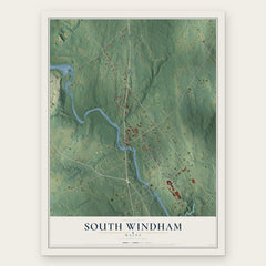
More maps nearby: Westbrook, Buxton, Windham, Bonny Eagle and Standish.
The art of mapping a place
How This Map Was Made
Real places. Remarkable detail. Discover the layers that turn geographic data into a map of home.

The view from above
Aerial imagery reveals the character of the land: woodland, open fields, and the patterns of a place.

The shape of the land
Elevation data brings hills, valleys, and subtle changes in the landscape into view.

The details of home
Roads, waterways, and building footprints come together to make the map feel unmistakably local.

Geography becomes art
Considered color, shading, and typography bring the layers together in a map made for your wall.


Process illustrated with Mendon, Massachusetts. Aerial imagery: USDA NAIP. Terrain: USGS 3D Elevation Program. Map details and finished artwork: KNOWOL.
The Details
About This Print
Choose an archival matte print, or a black or white Ayous wood frame. The archival matte print is unframed.
Select your size and finish above to see the matching product image and price.
Materials & Craftsmanship
A contemporary map with the character of a classic atlas, printed on archival matte paper. Optional frames are made from Ayous wood.
Your printed map does not include the watermark shown in the full-map preview.
Shipping & Delivery
Free shipping within the United States. Every print is made to order in the USA.
Buying a gift? Add a note in your cart and we'll include it. We never put prices in the package.
Prints ship within 2 to 3 business days. Allow 7 to 10 days total from ordering for delivery. Timing may vary during holidays or periods of high order volume.
Read our shipping policy.
Returns and damaged prints
Each print is made to order. Change-of-mind refunds are not available after production.
If your print arrives damaged, misprinted or incorrect, contact support@knowol.com within 30 days of receiving it. Include your order number, photos and a description of the issue.
Read our full refund and replacement policy. For questions about your order, email support@knowol.com.