


Search for another town


Free U.S. delivery 7 to 10 days after you order
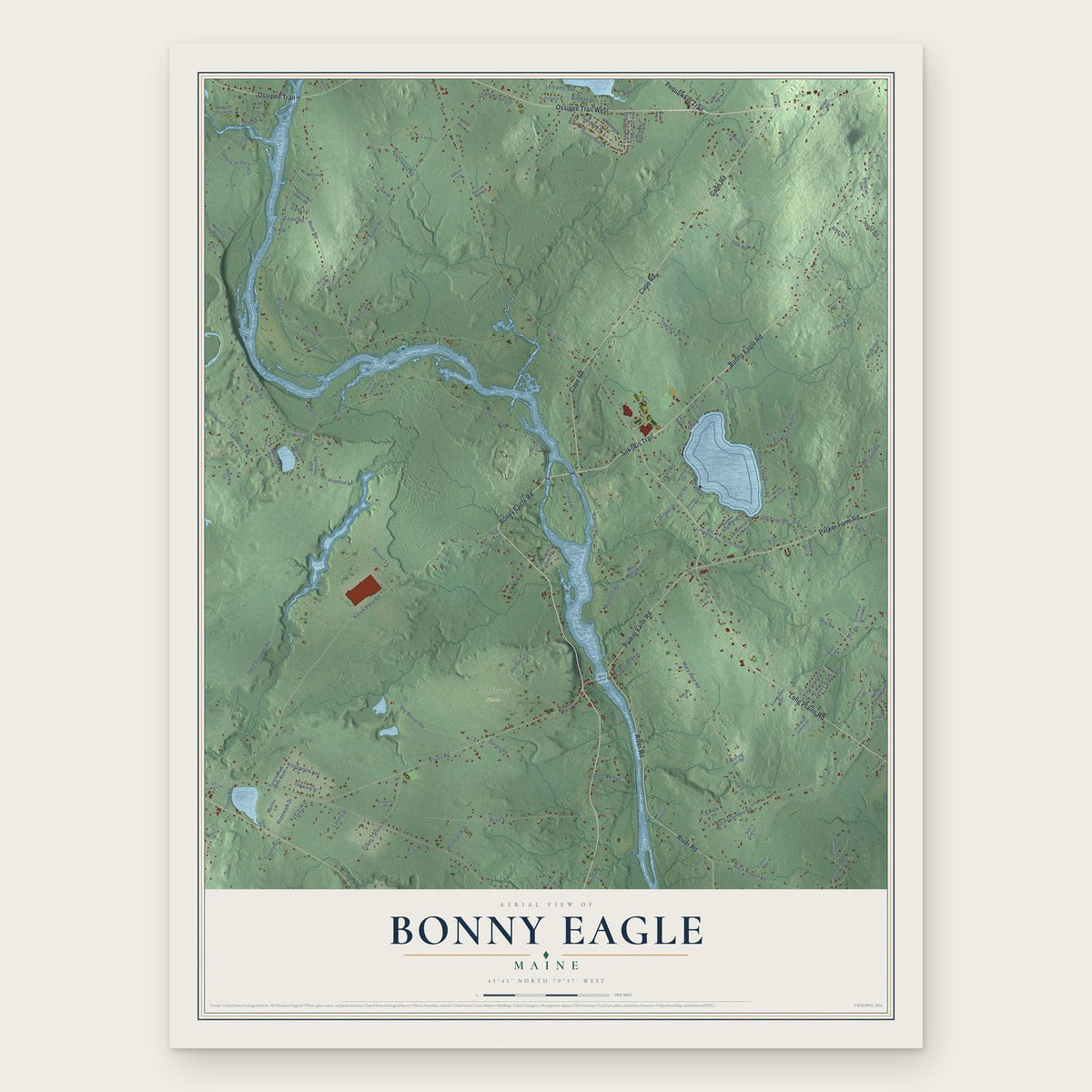
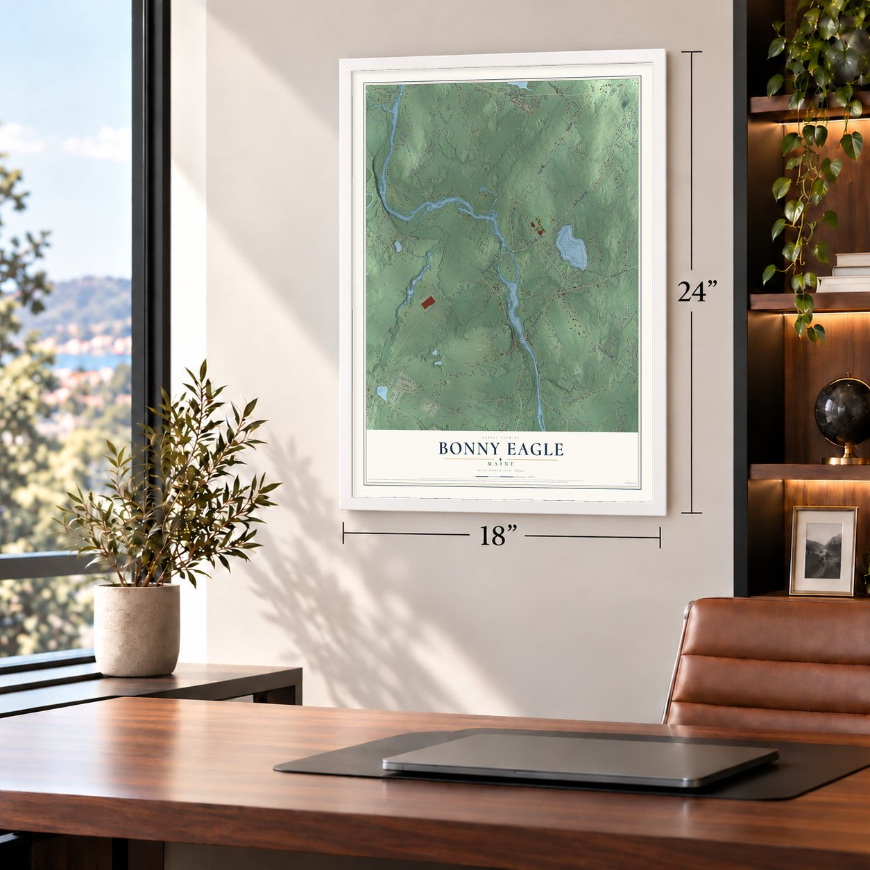
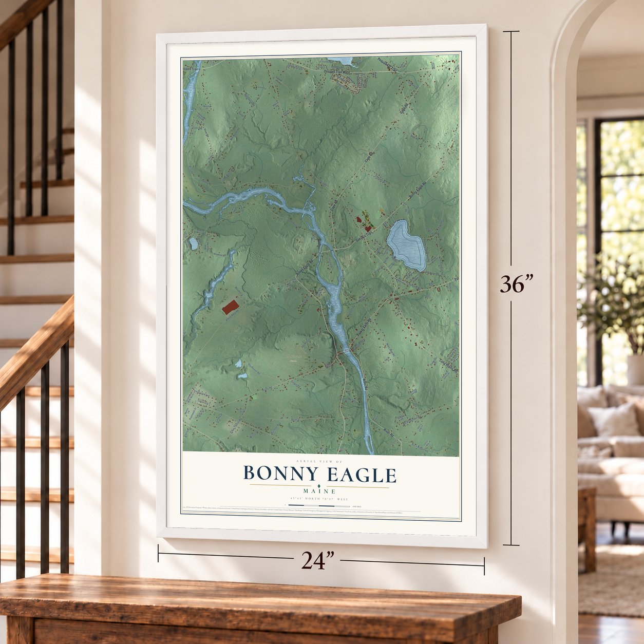
Bonny Eagle, Maine Map Art
Building by building, with labeled streets and shaded relief.
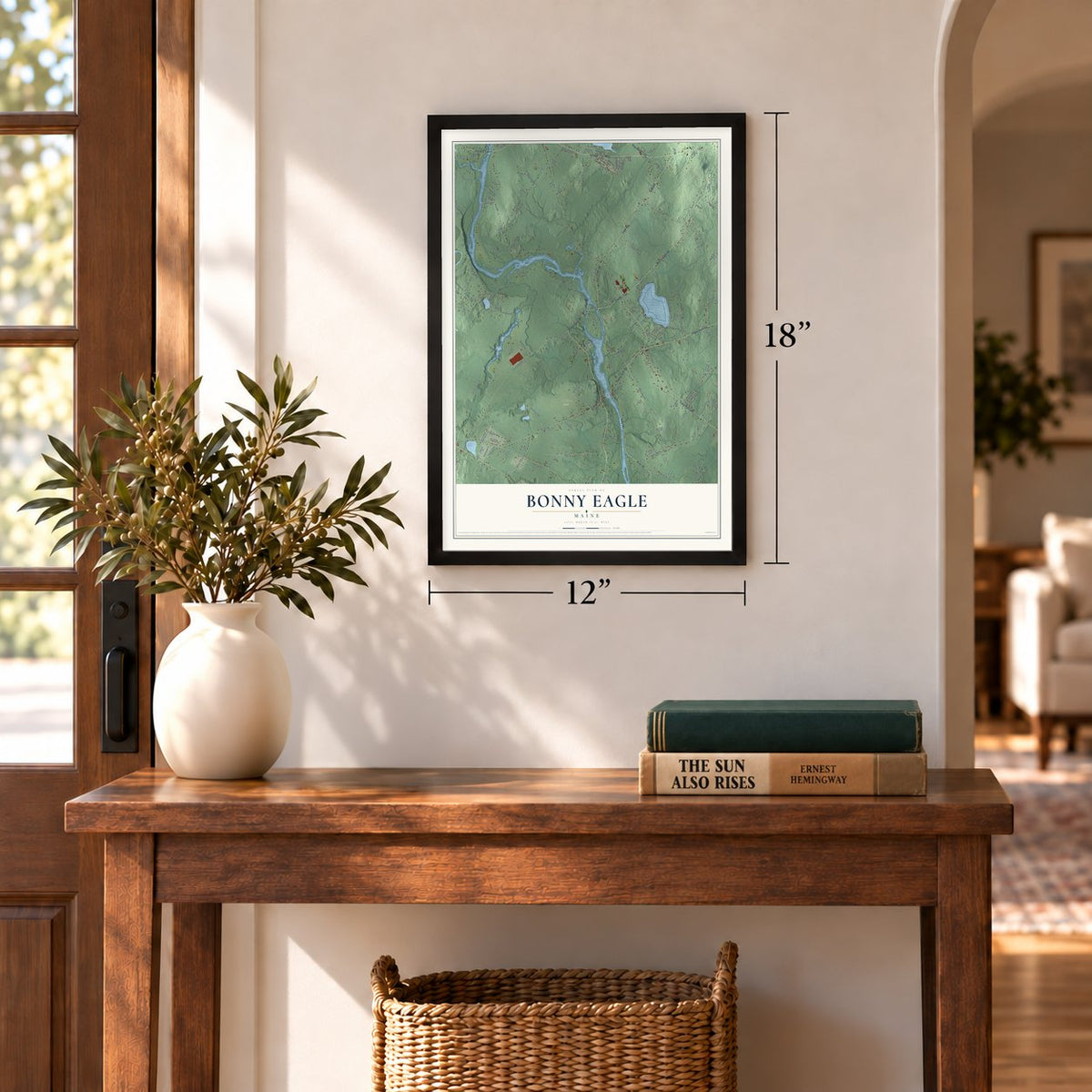
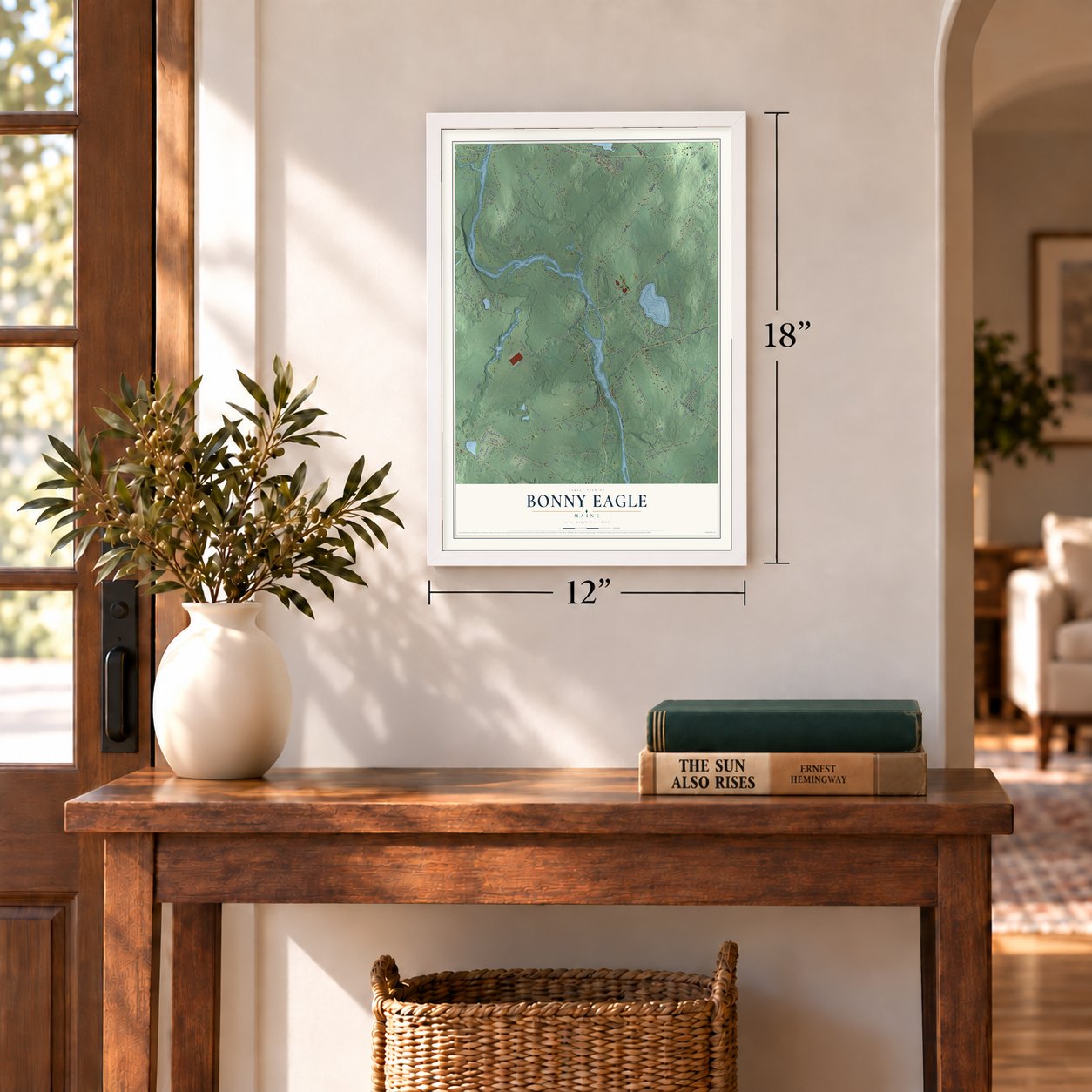
12" x 18" Archival Matte Print
A Map of Home. A Work of Art.
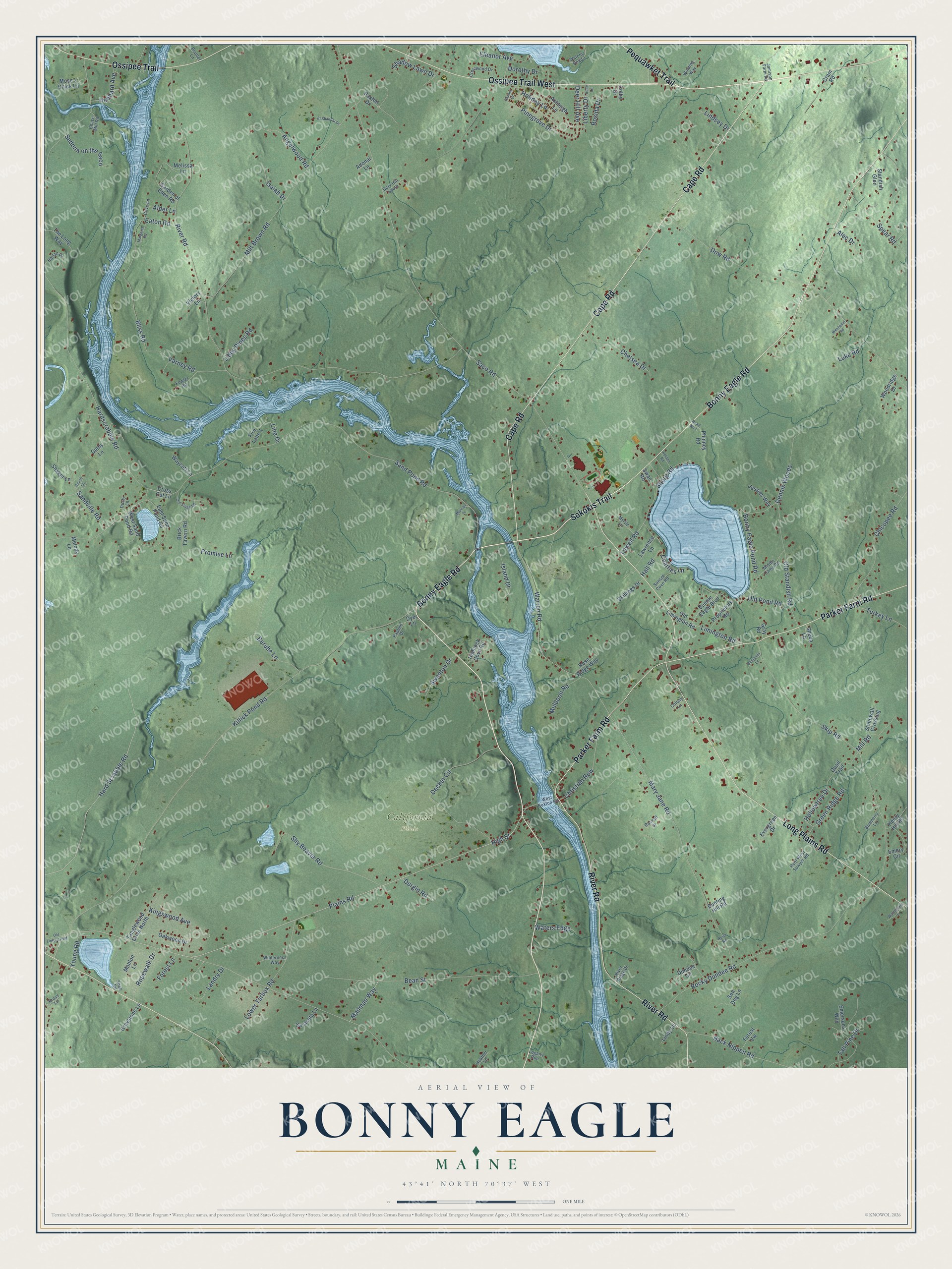
Explore Bonny Eagle, Maine from a whole new perspective. Created using aerial imagery and detailed geographic data, this map captures Bonny Eagle building by building, with labeled streets, familiar landmarks, and shaded topographical relief that highlights the natural contours of the landscape.
Combining modern data with the timeless character of a vintage atlas, this map is just as interesting up close as it is beautiful on the wall. Whether you grew up in Bonny Eagle, spent memorable years there, or call it home today, this unique map is a great way to celebrate a place that means something to you. Zoom in on the preview to look for your street, and then order a print to put your memories on the wall.
Three ways to hang it
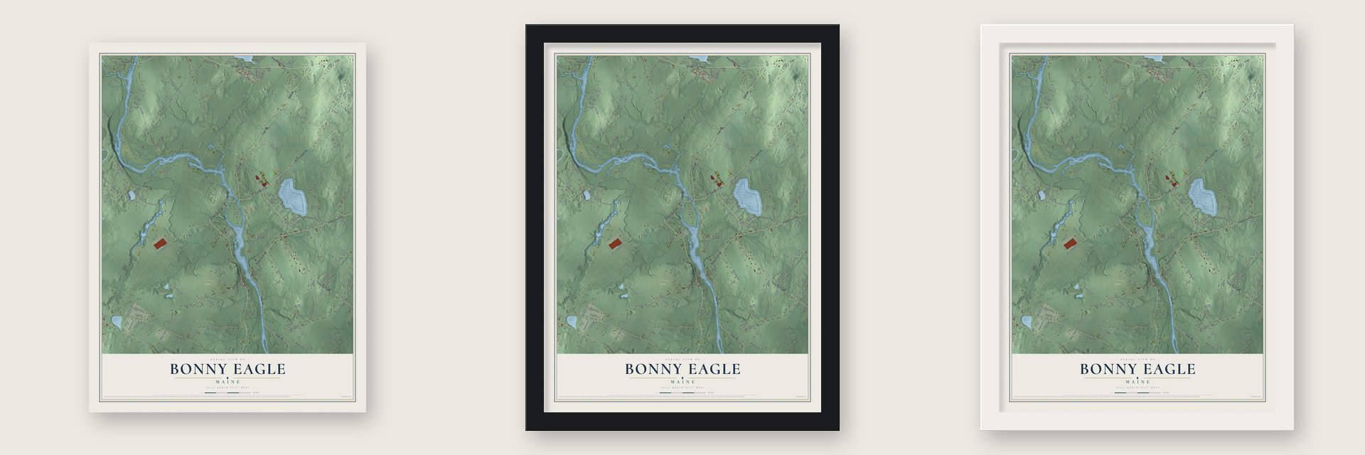
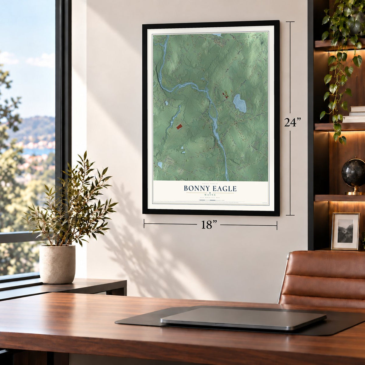
Unframed archival matte, a black wood frame or a white wood frame.
Up close
Geography Worth Displaying
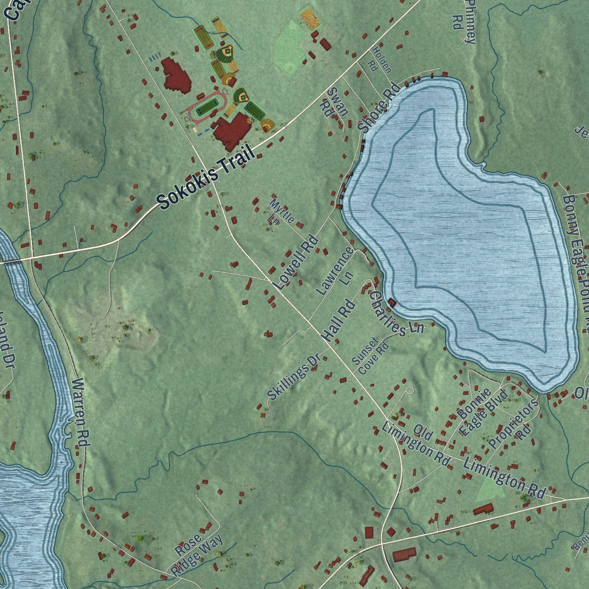
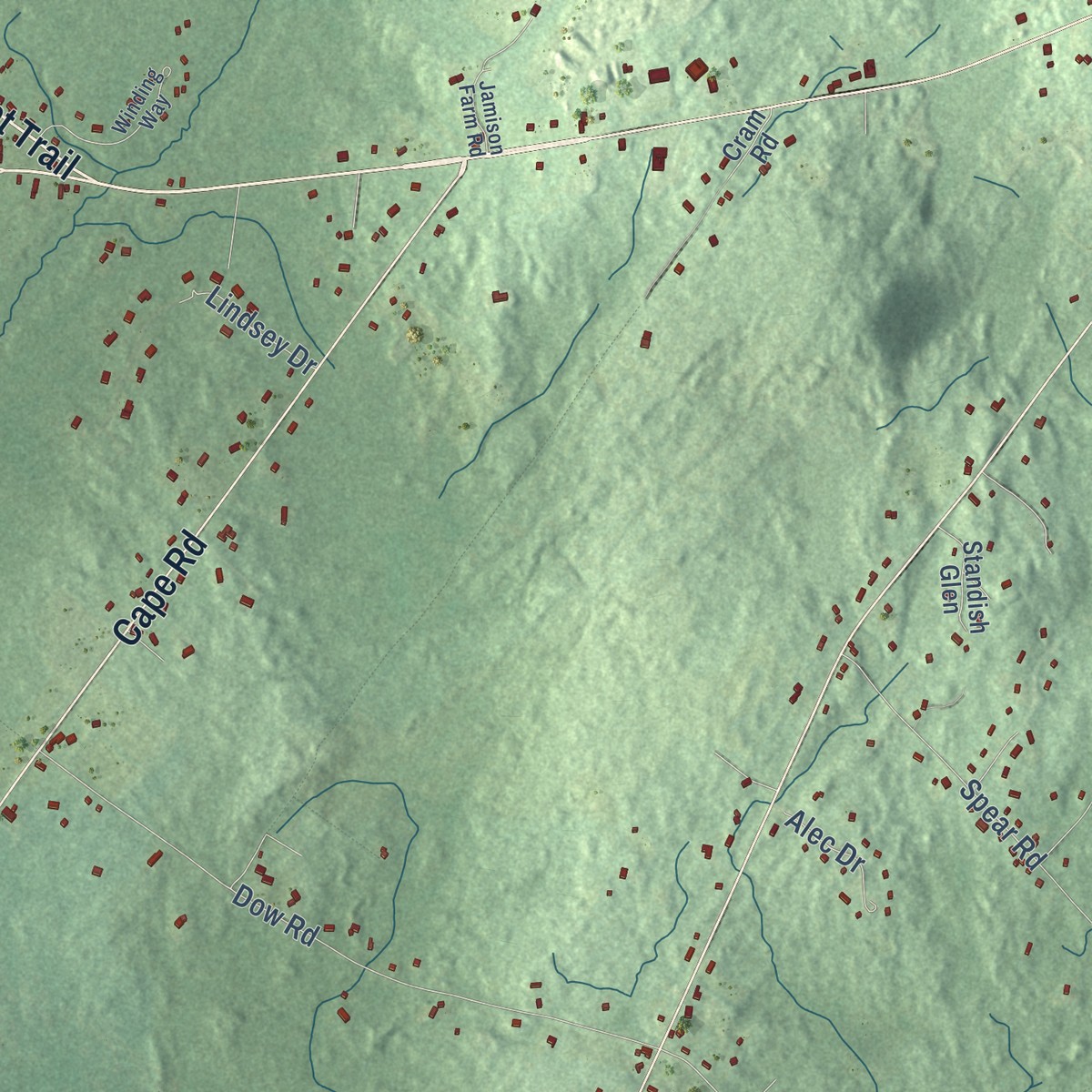
This map was created using accurate cartographic data and authoritative geographic sources, including the U.S. Geological Survey and the Census Bureau. The map brings together terrain, waterways, roads, and building detail. The majority of the streets are labeled, houses are accurately depicted, and the topography is derived from government sources. Combining local data with carefully composed color and shading leads to this beautifully detailed Bonny Eagle artwork for your wall.
Rather than simply showing street outlines, we’ve included as many of the street names as we could reasonably fit on the map while keeping their names legible. Zoom in on the high resolution preview to see exactly what’s on the map. We truly set out to create a statement piece for anyone who loves Bonny Eagle. So whether it’s for you, or a gift for someone you love, we hope this map of Bonny Eagle brings back fond memories.
Read the story behind this map: Detailed Map of Bonny Eagle, Maine.

Find your street
Names on the Bonny Eagle map
Every name below is printed on this map. Look for your street, your school, the park where you played, or the pond down the road.
Places and landmarks1
- California Fields
Streets and roads170
- Bonny Eagle Road
- Sokokis Trail
- Ossipee Trail West
- River Road
- Pequawket Trail
- Cape Road
- Long Plains Road
- Parker Farm Road
- Ossipee Trail
- Plains Road
- High Street
- Deer Hill Avenue
- Mailman Way
- Warren Road
- Holiday Lane
- Pinegrove Drive
- Mary Jane Road
- Angelwood Road
- Ropewalk Drive
- Hollowtree Drive
- Chicopee Road
- Saco Road
- Hardscrabble Road
- Sand Pond Road
- Killick Pond Road
- Skip Road
- Rocky Dundee Road
- Bean Street
- Milt Brown Road
- Hard Scrabble Road
Show all 170 streets
- Decker Circle
- Old Standish Road
- Dow Road
- Lower Tarbox Road
- Shy Beaver Road
- Berube Lane
- Back Nippen Road
- Bliss Road
- Sandville Road
- Bonny Eagle Pond Road
- Varney Road
- Landry Drive
- Charlies Lane
- Limington Road
- Spear Road
- Dennis Woods
- Tall Pine Drive
- Chelsea Drive
- Christian Row
- Kingswood Avenue
- Green Ridge Road
- Sedona on the Saco
- Turkey Lane
- Eaton Road
- Hall Road
- Promise Lane
- Shore Road
- Island Drive
- Mill Road
- Shadow Lawn Drive
- Swanton Drive
- Young Road
- Hubbard Avenue
- Muldoon Road
- Durgin Road
- Eleanor Avenue
- Libby Pines Road
- Rosida Drive
- Old Pond Road
- Dorothy Drive
- Waters Edge
- Lindsey Drive
- Isaiah Drive
- Alec Drive
- Forest Lane
- Lowell Road
- Luke Road
- Liberty Drive
- Alder Lane
- Line Drive
- Quail Trail
- Old Limington Road
- Ashleigh Lane
- East Sand Pond Road
- Woodridge Drive
- Emersons Way
- Shaker Lane
- Proprietors Road
- Brick Tavern Road
- Emery Circle
- West Sand Pond Road
- Rose Ridge Way
- Dundee Circle
- Garden of Eden Road
- Lawrence Lane
- Oakwood Drive
- Fire Lane 1
- Skillings Drive
- Sea Dog Lane
- Mose's Chick Lane
- Bonnie Eagle Boulevard
- Stonewall Crossing
- Mahlon Lane
- Tanglewood Drive North
- Graystone Lane
- The Long Way
- Cram Road
- Hemlock Cove Road
- Evergreen Drive
- Phinney Road
- Henry Hill Road
- Sarasota Lane
- Jessies Way
- Dyer Lane
- Forest Vw
- Waycott Lane
- Standish Glen
- Melissa Lane
- Cross Cut Lane
- Paxton Drive
- Cathy Lane
- Lindy Lane
- Victory Lane
- Bunting Hill Road
- Swan Road
- Melody Lane
- Sheba Lane
- Colby Drive
- Adonai Lane
- Gray Road
- Winding Way
- Middle Camp Road
- Sunset Cove Road
- Harlan Drive
- Crestwood Drive
- Ruel West Sawyer Road
- Russell Drive
- Deer Hill South
- Watchic Road 1
- Logans Run
- Wilderness Way
- Fowler Road
- Myrtle Lane
- Pauline Drive
- Jamison Farm Road
- West Buxton Road
- Cove Lane
- Boulter Lane
- Blueberry Lane
- Chase Mill Road
- River Ridge Drive
- Heather Lane
- Dusty Lane
- Colony Lane
- Kraus Lane
- Sneb Road
- Old Stage Road
- Road No 1
- Margaret Road
- Sunset Drive
- El Shaddai Drive
- Washboard Lane
- Old Limerick Road
- Holden Road
- Benjamin Lane
- Westwind Road
- Marean Drive
- Rowe Road
- Aube Lane
- Amish Lane
Names are listed as they appear on the printed map. Zoom into the product photos to find them.
About Bonny Eagle, Maine
Bonny Eagle village grew up at the falls. Its county road was once the great highway for travelers from Dover, New Hampshire, and Alfred to Augusta and the east. In 1871 the village stood 18 miles from Portland and 16 miles from Saco by road.
- The village's own post officeA new post office opened at Bonny Eagle in York County in 1853. N. H. Lane served as its postmaster.
Keep exploring Maine
Bonny Eagle is one of 536 Maine towns we've mapped. Every dot on the map is a print of its own.
The search covers every state, Maine first.
Near Bonny Eagle
Order 2 or more town maps and save 10%. Shown in the size and finish you picked above, so they hang as a set.
- Hollis 12" x 18" / Archival Matte Print $39.99
- Buxton Center 12" x 18" / Archival Matte Print $39.99
- Buxton 12" x 18" / Archival Matte Print $39.99
More maps nearby: Limington, Standish, Lake Arrowhead, Steep Falls and Gorham.
The art of mapping a place
How This Map Was Made
Real places. Remarkable detail. Discover the layers that turn geographic data into a map of home.

The view from above
Aerial imagery reveals the character of the land: woodland, open fields, and the patterns of a place.

The shape of the land
Elevation data brings hills, valleys, and subtle changes in the landscape into view.

The details of home
Roads, waterways, and building footprints come together to make the map feel unmistakably local.

Geography becomes art
Considered color, shading, and typography bring the layers together in a map made for your wall.


Process illustrated with Mendon, Massachusetts. Aerial imagery: USDA NAIP. Terrain: USGS 3D Elevation Program. Map details and finished artwork: KNOWOL.
The Details
About This Print
Choose an archival matte print, or a black or white Ayous wood frame. The archival matte print is unframed.
Select your size and finish above to see the matching product image and price.
Materials & Craftsmanship
A contemporary map with the character of a classic atlas, printed on archival matte paper. Optional frames are made from Ayous wood.
Your printed map does not include the watermark shown in the full-map preview.
Shipping & Delivery
Free shipping within the United States. Every print is made to order in the USA.
Buying a gift? Add a note in your cart and we'll include it. We never put prices in the package.
Prints ship within 2 to 3 business days. Allow 7 to 10 days total from ordering for delivery. Timing may vary during holidays or periods of high order volume.
Read our shipping policy.
Returns and damaged prints
Each print is made to order. Change-of-mind refunds are not available after production.
If your print arrives damaged, misprinted or incorrect, contact support@knowol.com within 30 days of receiving it. Include your order number, photos and a description of the issue.
Read our full refund and replacement policy. For questions about your order, email support@knowol.com.