
Search for another town




Free U.S. delivery 7 to 10 days after you order
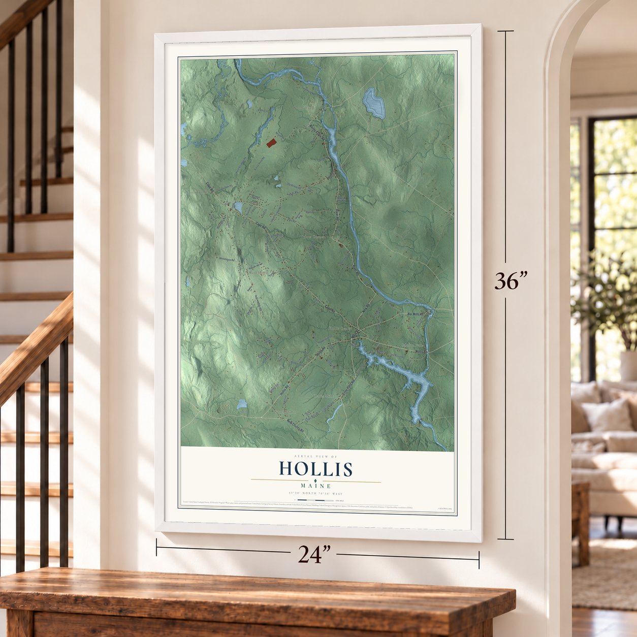
Hollis, Maine Map Art
Building by building, with labeled streets and shaded relief.
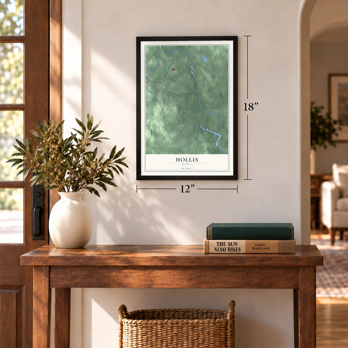
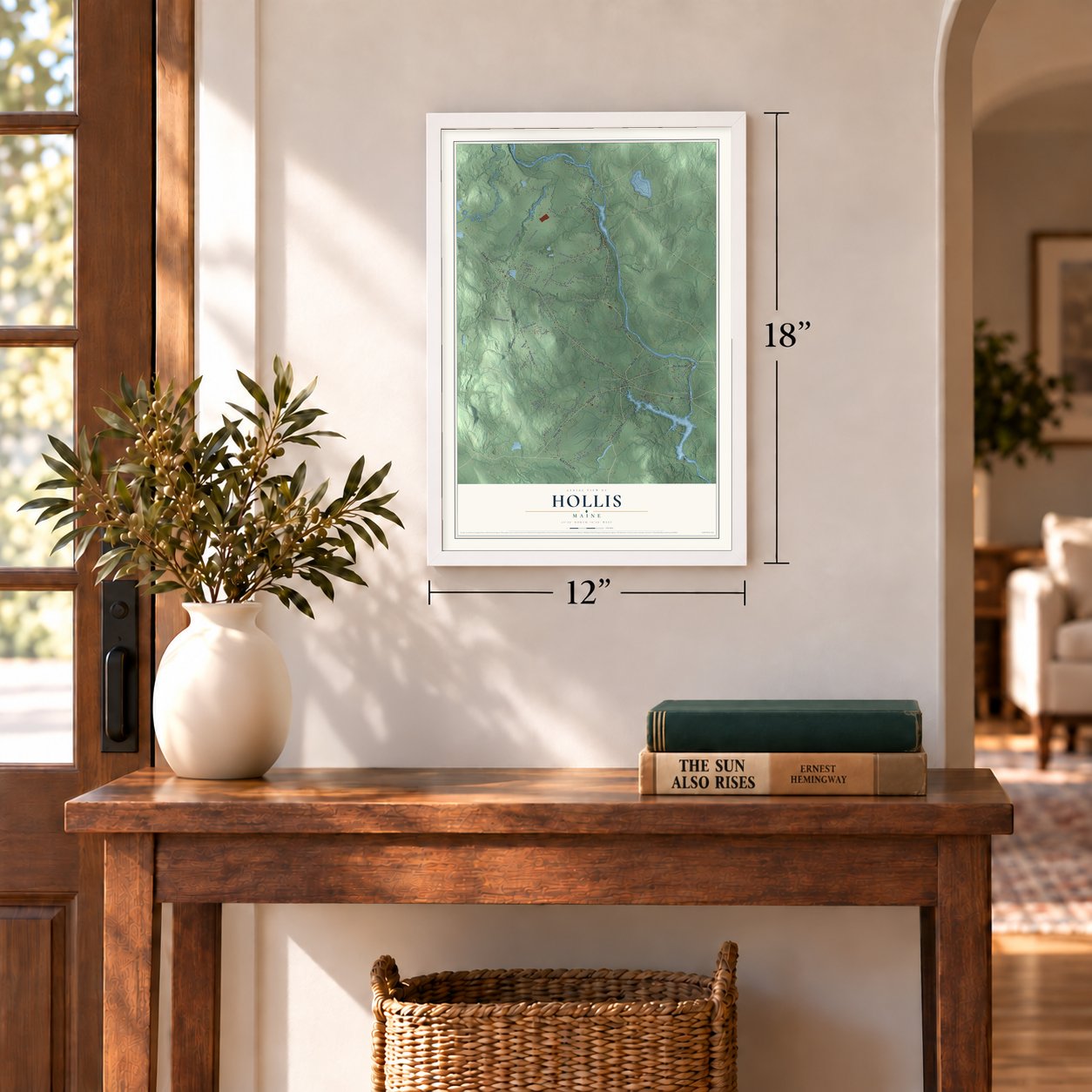
12" x 18" Archival Matte Print
A Map of Home. A Work of Art.
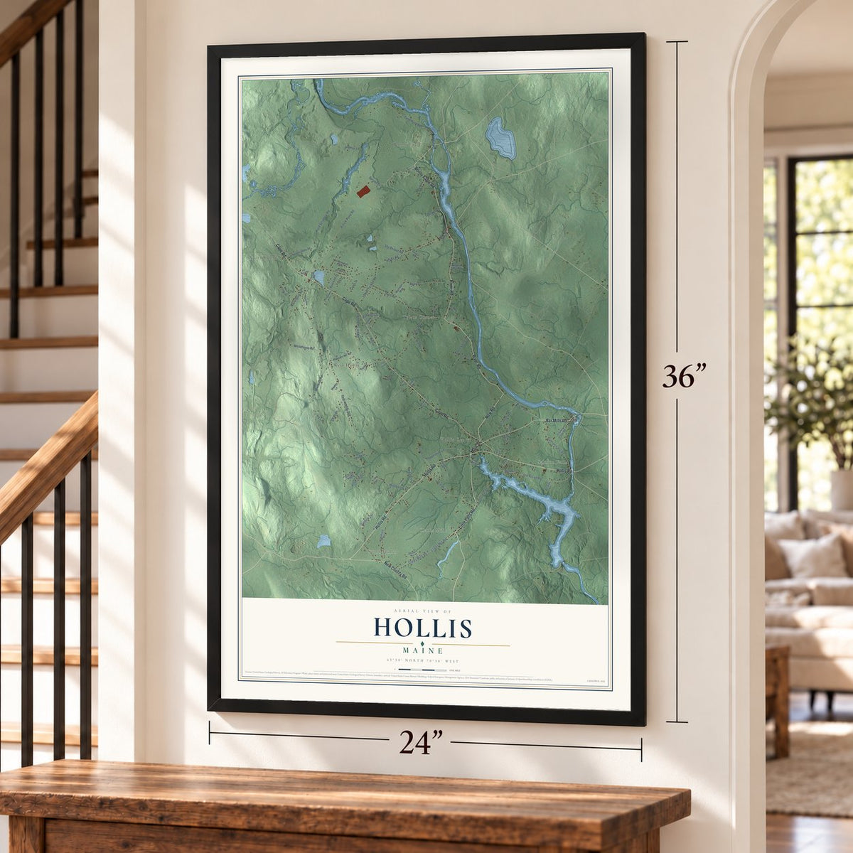
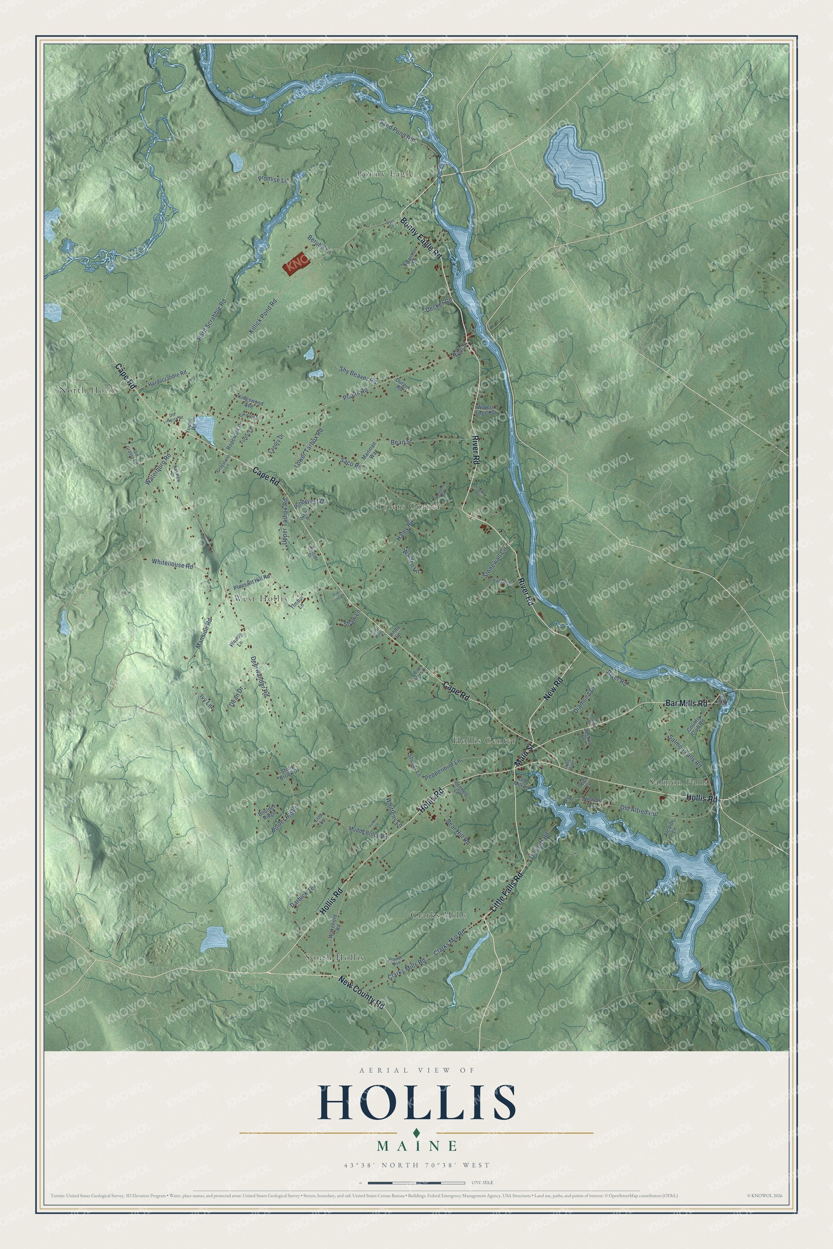
Explore Hollis, Maine from a whole new perspective. Created using aerial imagery and detailed geographic data, this map captures Hollis building by building, with labeled streets, familiar landmarks, and shaded topographical relief that highlights the natural contours of the landscape.
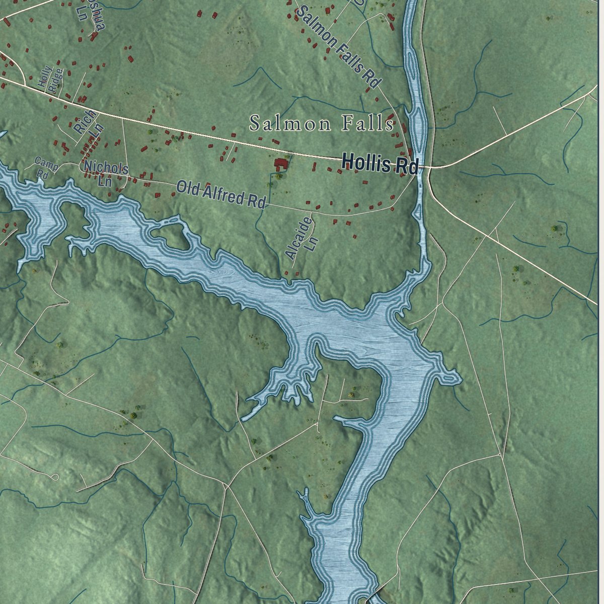
Combining modern data with the timeless character of a vintage atlas, this map is just as interesting up close as it is beautiful on the wall. Whether you grew up in Hollis, spent memorable years there, or call it home today, this unique map is a great way to celebrate a place that means something to you. Zoom in on the preview to look for your street, and then order a print to put your memories on the wall.
Three ways to hang it
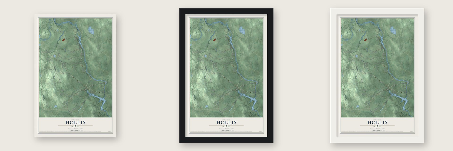
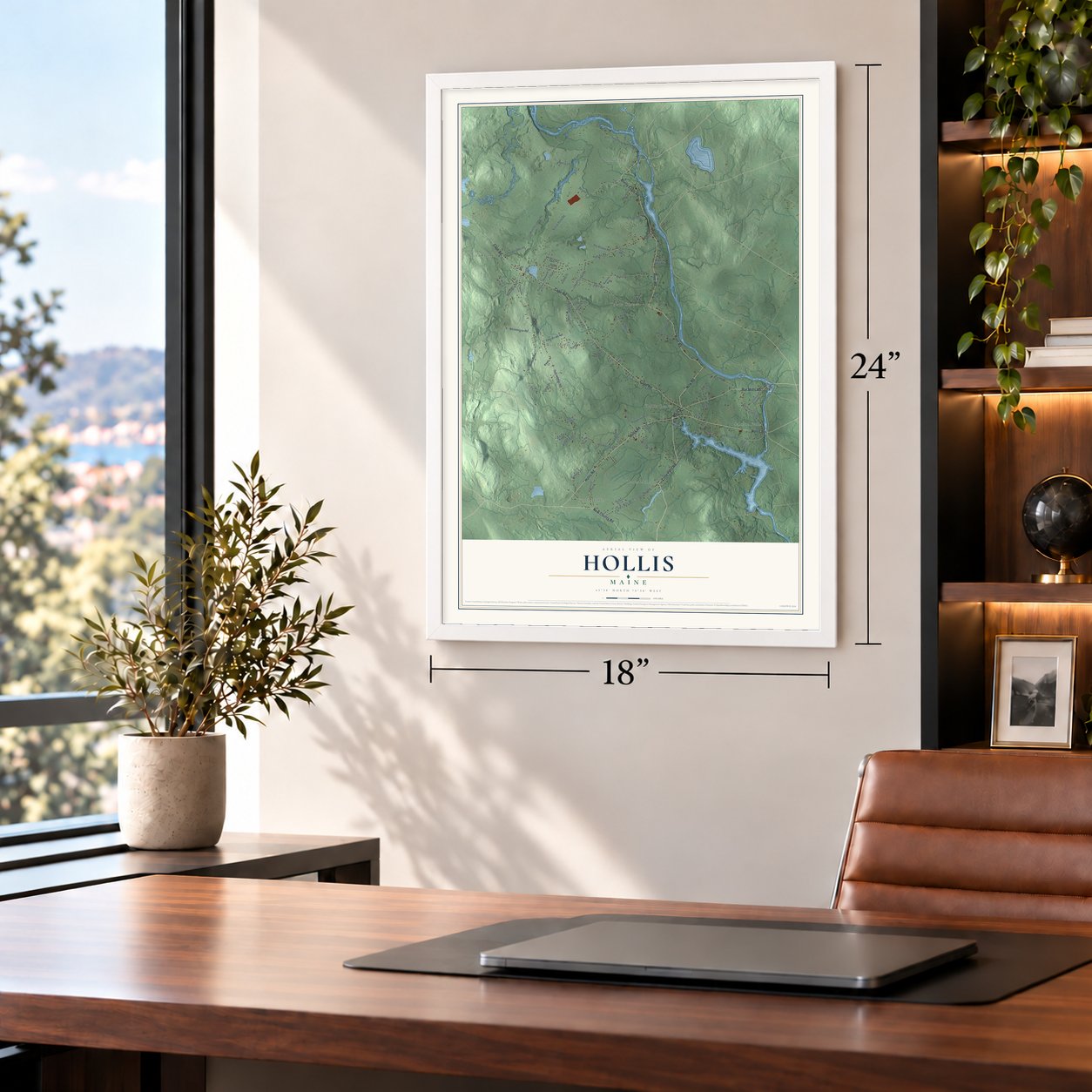
Unframed archival matte, a black wood frame or a white wood frame.
Up close
Geography Worth Displaying
This map was created using accurate cartographic data and authoritative geographic sources, including the U.S. Geological Survey (USGS) and FEMA. The map brings together terrain, waterways, roads, and building detail. The majority of the streets are labeled, houses are accurately depicted, and the topography is derived from government sources. Combining local data with carefully composed color and shading leads to this beautifully detailed Hollis artwork for your wall.
Rather than simply showing street outlines, we’ve included as many of the street names as we could reasonably fit on the map while keeping their names legible. Zoom in on the high resolution preview to see exactly what’s on the map. We truly set out to create a statement piece for anyone who loves Hollis. So whether it’s for you, or a gift for someone you love, we hope this map of Hollis brings back fond memories.
Explore the full map of Hollis, Maine and read about the local places it shows.
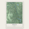
Find your street
Names on the Hollis map
Every name below is printed on this map. Look for your street, your school, the park where you played, or the pond down the road.
Places and landmarks8
- Tylers Corner
- South Hollis
- Bonny Eagle
- West Hollis
- Salmon Falls
- North Hollis
- Clarks Mills
- Hollis Center
Streets and roads91
- Bonny Eagle Road
- New Road
- Main Street
- River Road
- Little Falls Road
- Cape Road
- Hollis Road
- Bar Mills Road
- New County Road
- Plains Road
- High Street
- Waterboro Road
- Deerwander Road
- Killick Pond Road
- Mansion Road
- Saco Road
- Sand Pond Road
- Hard Scrabble Road
- Old Alfred Road
- Bean Street
- Clarks Mills Road
- Haley Road
- Bear Hill Road
- Salmon Falls Road
- Darbick Terrace
- Decker Circle
- Clarks Mill Road
- Lower Tarbox Road
- Upper Tarbox Road
- Whitehouse Road
Show all 91 streets
- Shy Beaver Road
- Berube Lane
- Bolder Ridge
- Peppermint Lane
- Diamond Drive
- Dennett Road
- Walden Lane
- Dean Drive
- Pinecrest Drive
- Stonewall Circle
- Promise Lane
- Whittens Lane
- Shaw Lane
- Ivy Lane
- Ropewalk Drive
- Mailman Way
- Hardscrabble Road
- Pleasant Hill Road
- Wakefield Road
- Country Club Road
- Landry Drive
- Stuarts Lane
- Kingswood Avenue
- Muddy Brook Road
- Nichols Lane
- Stony Brook Drive
- Boulder Ridge
- Swanton Drive
- Young Road
- Durgin Road
- Waters Edge Pvt
- Alcaide Lane
- Old Mill Lane
- Joshua Lane
- Timber Lane
- Pennell Lane
- Woody Lane
- Rich Lane
- Lisa Lane
- Linda Lane
- Old Grassy Road
- Hanson Lane
- Oakview Drive
- Glaude Avenue
- Oxford Drive
- Wild Acres Drive
- Hillside Drive
- Forest Lane
- Heather Lane
- Graystone Lane
- Canal Road
- Oakwood Drive
- Camp Road
- Old Limerick Road
- Victory Lane
- Dyer Lane
- Logans Run
- Maxine Drive
- Fire Lane 24
- Holly Ridge
- Green Acres
Names are listed as they appear on the printed map. Zoom into the product photos to find them.
About Hollis, Maine
Hollis is a town of 4,745 people in York County, on the Saco River. Its land was first known as Little Falls Plantation, which took in all of present Dayton and the corner of Limington south of the Little Ossipee River. Major William Phillips bought the tract in 1664 from Hobinowell and Mogg Hegon, two sagamores of the Abenaki. In 1728 the Massachusetts General Court had a rough log blockhouse with a cannon built on the Saco to serve as a trading post, and ten men and a sergeant guarded it.
John and Andrew Gordon tried to make homes here in 1754, but Native Americans forced them out. The plantation held its first recorded meeting on March 27, 1781, choosing Joseph Chadbourne as moderator, and by 1790 it had 607 people. In 1798 it was incorporated as Phillipsburg, after Major Phillips, and Chadbourne again led the first town meeting, held on September 27 at Stephen Hopkinson's house. In 1810 Colonel Isaac Lane and Captain Eben Cleaves led a committee that picked a new name, Hollis.
- A name nobody explainedNo one recorded why the 1810 committee settled on Hollis. It may have been borrowed from Hollis, New Hampshire, or from Holles, the family name of the Duke of Newcastle.
- Mills on the SacoFarmers raised corn, potatoes and hay in the sandy loam, while the river turned mills at Hollis village, Bar Mills, Moderation Falls across from West Buxton, North Hollis and Bonny Eagle Falls. They sawed lumber, turned wood, and made spools and wooden boxes, and the Saco River Woolen Company wove cloth there. Later, tracks of the Portland and Rochester Railroad crossed the town's south end.
- Kate Douglas Wiggin's QuillcotePart of the author's childhood was spent in Hollis, and she later chose Quillcote here as her summer home. She had helped start free kindergartens and teacher training in San Francisco, and in 1903 she wrote Rebecca of Sunnybrook Farm. In 1911 she founded the Salmon Falls Library. Her house is on the National Register as the Kate Douglas Wiggin House.
- The earthquake of 2012At 7:12 in the evening on October 16, 2012, an earthquake struck about 3 miles west of the town center. First estimated at 4.6, it was later rated 4.0. It was felt across New York and every one of the six New England states, and some Hollis residents found cracked floors and walls, but there was no major damage.
Keep exploring Maine
Hollis is one of 536 Maine towns we've mapped. Every dot on the map is a print of its own.
The search covers every state, Maine first.
Near Hollis
Order 2 or more town maps and save 10%. Shown in the size and finish you picked above, so they hang as a set.
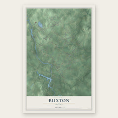
- Buxton 12" x 18" / Archival Matte Print $39.99
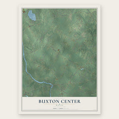
- Buxton Center 12" x 18" / Archival Matte Print $39.99
- Bonny Eagle 12" x 18" / Archival Matte Print $39.99

More maps nearby: Dayton, Waterboro, Lake Arrowhead, Gorham and Limington.
The art of mapping a place
How This Map Was Made
Real places. Remarkable detail. Discover the layers that turn geographic data into a map of home.

The view from above
Aerial imagery reveals the character of the land: woodland, open fields, and the patterns of a place.

The shape of the land
Elevation data brings hills, valleys, and subtle changes in the landscape into view.

The details of home
Roads, waterways, and building footprints come together to make the map feel unmistakably local.

Geography becomes art
Considered color, shading, and typography bring the layers together in a map made for your wall.


Process illustrated with Mendon, Massachusetts. Aerial imagery: USDA NAIP. Terrain: USGS 3D Elevation Program. Map details and finished artwork: KNOWOL.
The Details
About This Print
Choose an archival matte print, or a black or white Ayous wood frame. The archival matte print is unframed.
Select your size and finish above to see the matching product image and price.
Materials & Craftsmanship
A contemporary map with the character of a classic atlas, printed on archival matte paper. Optional frames are made from Ayous wood.
Your printed map does not include the watermark shown in the full-map preview.
Shipping & Delivery
Free shipping within the United States. Every print is made to order in the USA.
Buying a gift? Add a note in your cart and we'll include it. We never put prices in the package.
Prints ship within 2 to 3 business days. Allow 7 to 10 days total from ordering for delivery. Timing may vary during holidays or periods of high order volume.
Read our shipping policy.
Returns and damaged prints
Each print is made to order. Change-of-mind refunds are not available after production.
If your print arrives damaged, misprinted or incorrect, contact support@knowol.com within 30 days of receiving it. Include your order number, photos and a description of the issue.
Read our full refund and replacement policy. For questions about your order, email support@knowol.com.