
Search for another town

Free U.S. delivery 7 to 10 days after you order
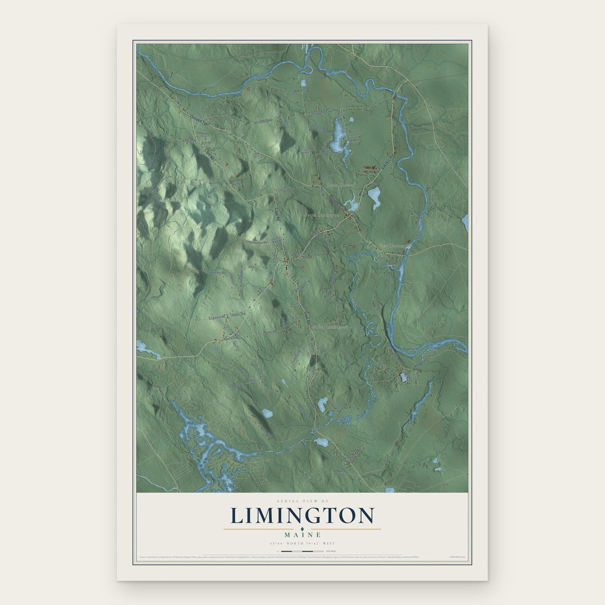
Limington, Maine Map Art
Building by building, with labeled streets and shaded relief.
12" x 18" Archival Matte Print
A Map of Home. A Work of Art.
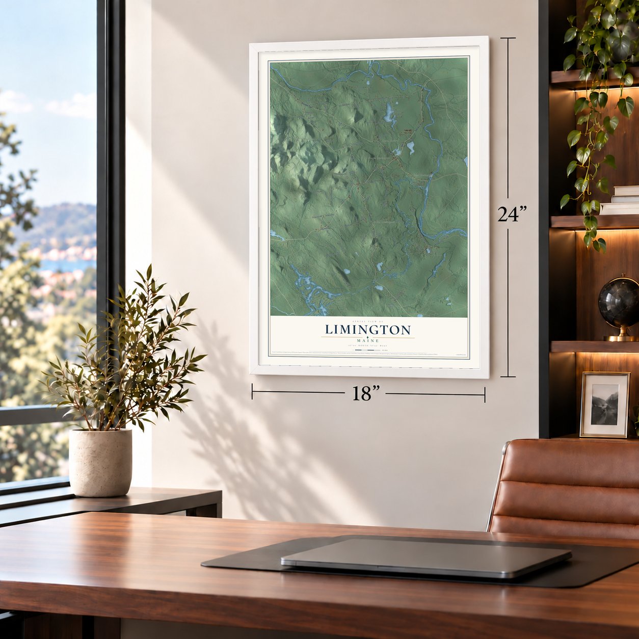
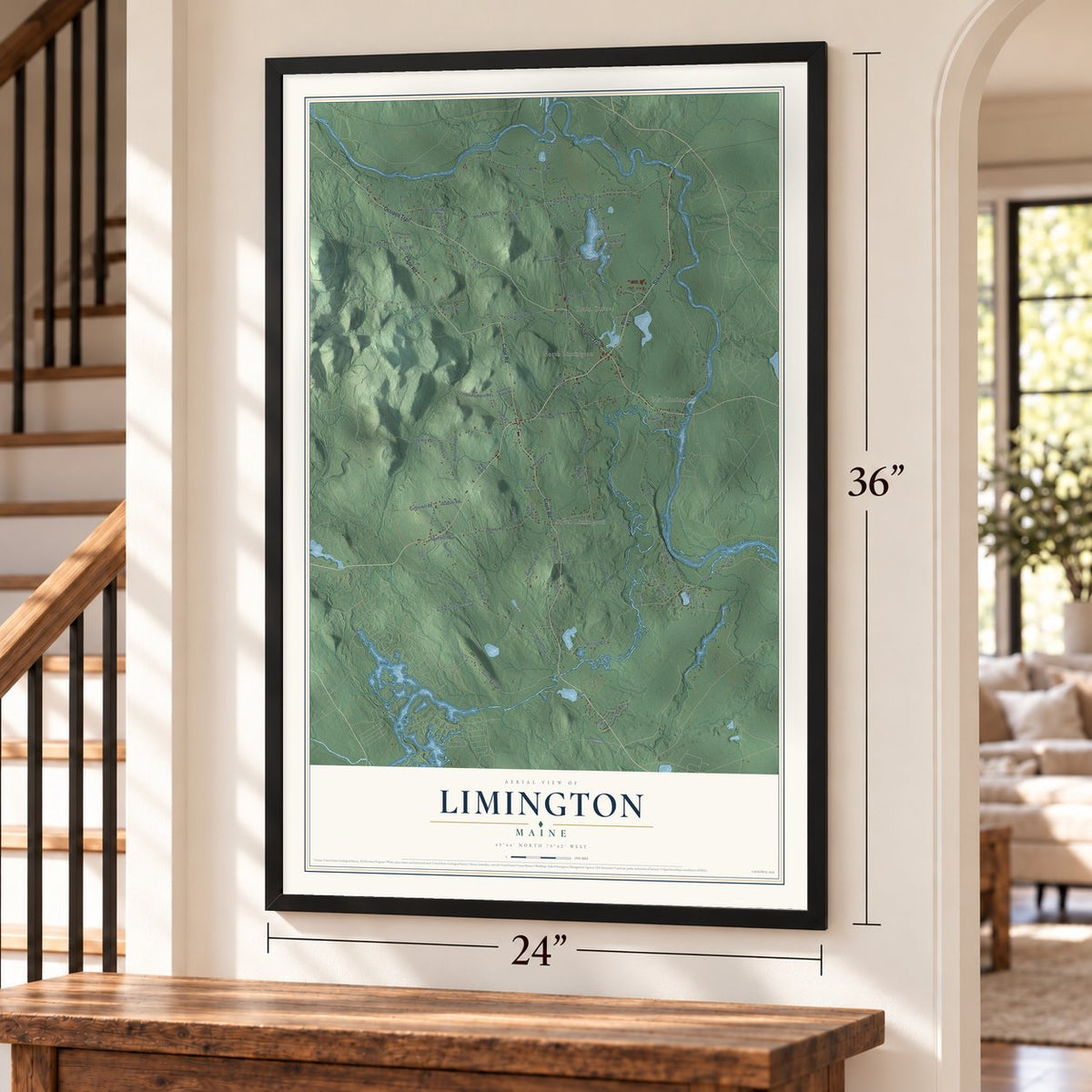
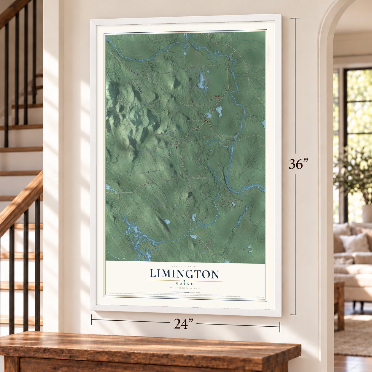
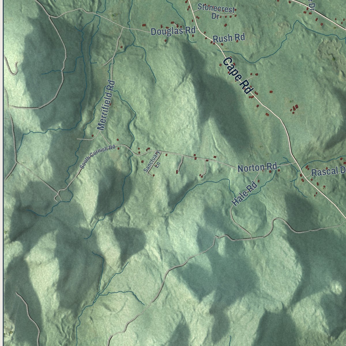
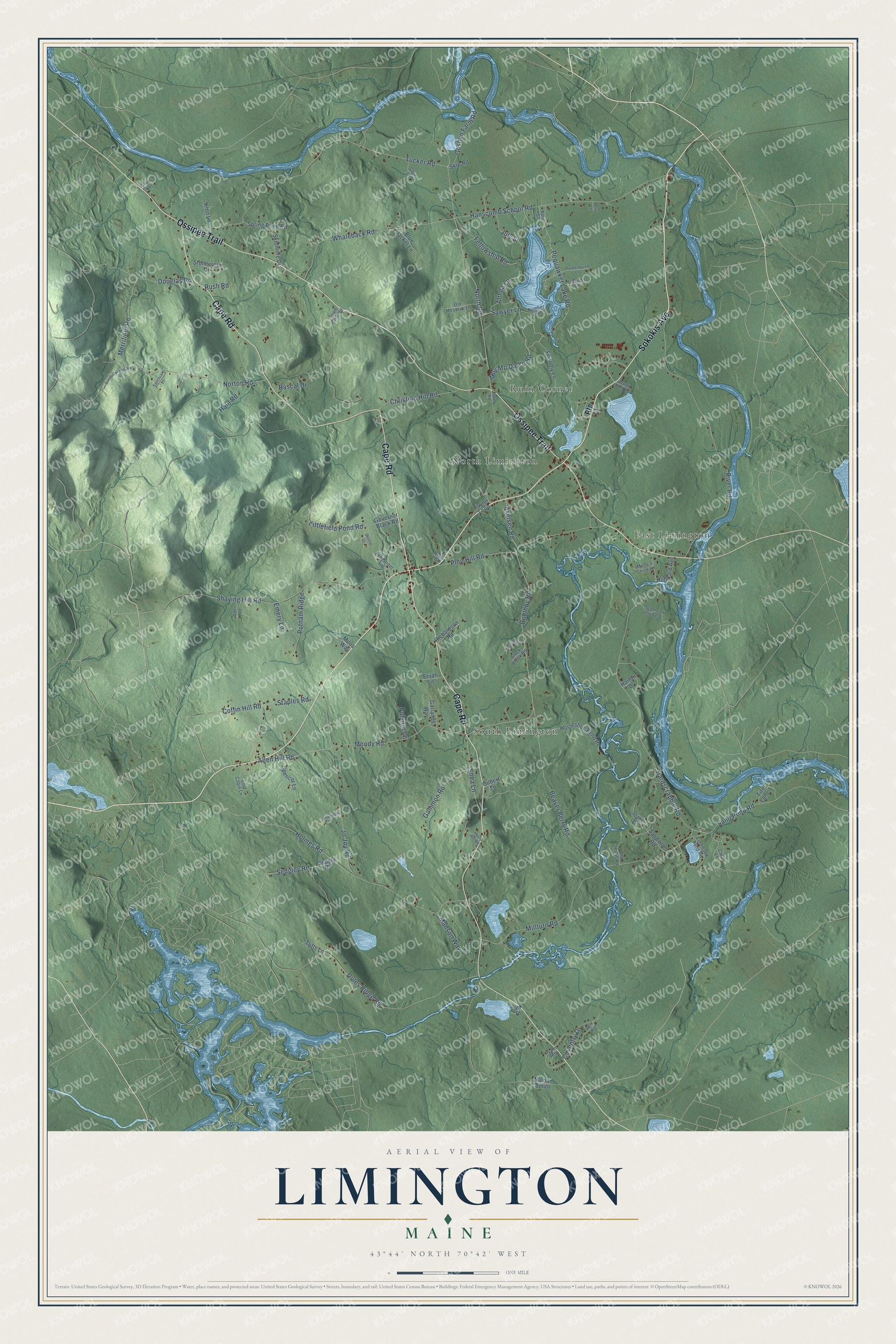
Explore Limington, Maine from a whole new perspective. Created using aerial imagery and detailed geographic data, this map captures Limington building by building, with labeled streets, familiar landmarks, and shaded topographical relief that highlights the natural contours of the landscape.
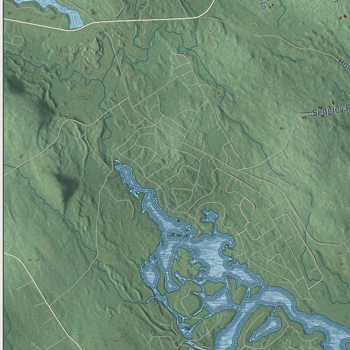
Combining modern data with the timeless character of a vintage atlas, this map is just as interesting up close as it is beautiful on the wall. Whether you grew up in Limington, spent memorable years there, or call it home today, this unique map is a great way to celebrate a place that means something to you. Zoom in on the preview to look for your street, and then order a print to put your memories on the wall.
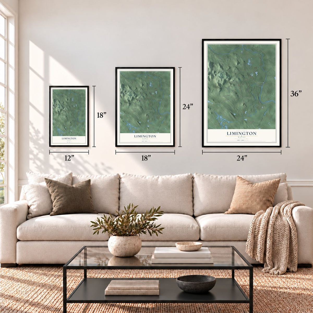
Three ways to hang it
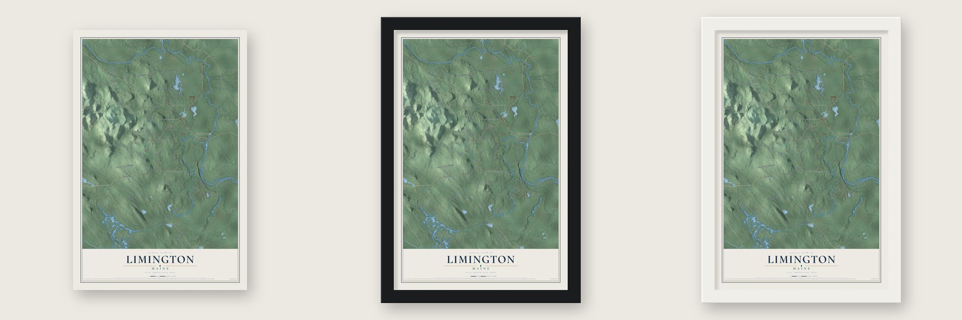
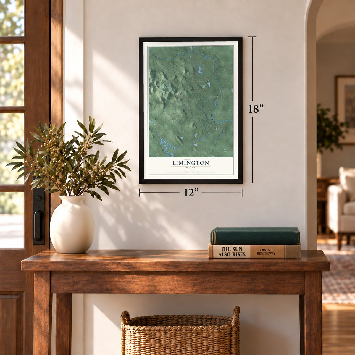
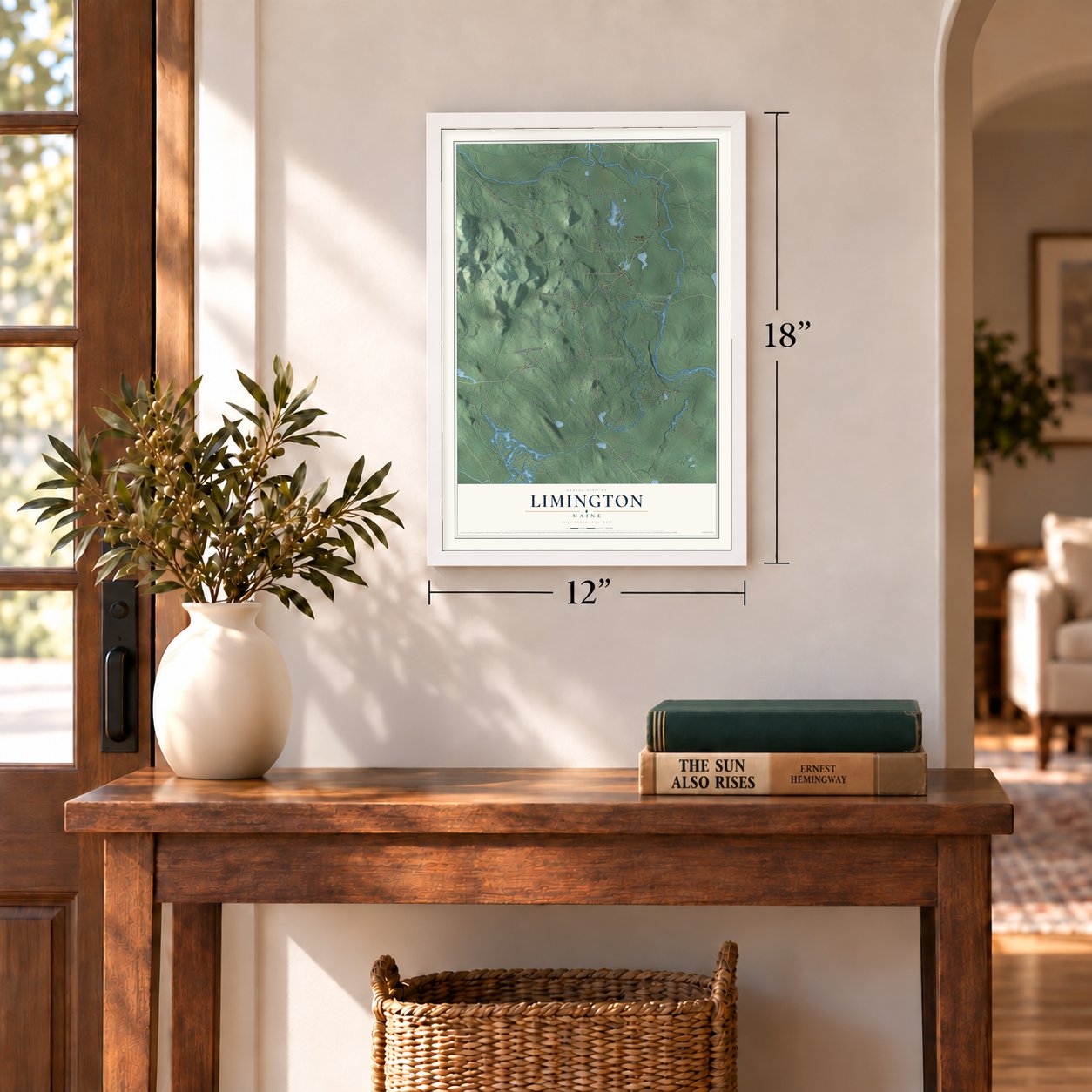
Unframed archival matte, a black wood frame or a white wood frame.
Up close
Geography Worth Displaying
This map was created using accurate cartographic data and authoritative geographic sources, including the U.S. Geological Survey (USGS) and FEMA. The map brings together terrain, waterways, roads, and building detail. The majority of the streets are labeled, houses are accurately depicted, and the topography is derived from government sources. Combining local data with carefully composed color and shading leads to this beautifully detailed Limington artwork for your wall.
Rather than simply showing street outlines, we’ve included as many of the street names as we could reasonably fit on the map while keeping their names legible. Zoom in on the high resolution preview to see exactly what’s on the map. We truly set out to create a statement piece for anyone who loves Limington. So whether it’s for you, or a gift for someone you love, we hope this map of Limington brings back fond memories.
Explore the full map of Limington, Maine and read about the local places it shows.

Find your street
Names on the Limington map
Every name below is printed on this map. Look for your street, your school, the park where you played, or the pond down the road.
Places and landmarks4
- North Limington
- South Limington
- East Limington
- Ruin Corner
Streets and roads101
- Cape Road
- Sokokis Avenue
- Ossipee Trail
- Allen Hill Road
- North Road
- Boothby Road
- Moody Road
- Holmes Road
- Moy Mo Da Yo Road
- Althea Lane
- Tucker Road
- Hardscrabble Road
- River Road
- Hanscomb School Road
- Jo Joy Road
- Shaving Hill Road
- Doles Ridge Road
- Beaver Berry Road
- Sand Pond Road
- Norton Road
- Whaleback Road
- Millturn Road
- Pequawket Lake Road
- Goshen Farm Road
- Gammon Road
- Staples Road
- Sedgley Road
- Littlefield Pond Road
- Christian Hill Road
- Pine Hill Road
Show all 101 streets
- Hale Road
- Manson Way
- Fellowship Road
- Merrifield Road
- Putnam Ridge
- Coventry Drive
- July Street
- Douglas Road
- Axelsen Road
- Sawyer Lane
- Shea Lane
- Coffin Hill Road
- Emery Lane
- Rascal Drive
- Pulsifer Lane
- Rush Road
- Route 11
- Friendly Lane
- Horseshoe Bend Road
- Sedgly Road
- Sandville Road
- Spencer Lane
- Spring Pond Road
- Blue Jacket Lane
- Skidmore Drive
- Governor Black Road
- Hubbard Avenue
- Richardson Road
- Stonecrest Drive
- Harlan Drive
- Kidd Lane
- Fire Lane 1
- Taylor Loop
- Garlands Way
- Gilbert Lane
- Tufts Lane
- Elijah Lane
- Skip Road
- Nathan Smith
- Milos Way
- Park Place
- Number 2 Road
- East Sand Pond Road
- Ryans Hill
- Shaker Lane
- Lost Cabin Lane
- Old Meserve Lane
- Town Farm Road
- Bradstreet Lane
- Derrick Drive
- Old Hollis Road
- Mose's Chick Lane
- Iroquois Lane
- Black Brook Road
- Sage Lane
- April Street
- Carll Lane
- Nolin Court
- South Road
- Sedona on the Saco
- South Cornish Road
- Holly Way
- Puckerbrush Lane
- Sanctuary Lane
- Dustin Drive
- Albert Road
- Dragonfly Lane
- Hasty Hill Road
- Wards Pond Road
- Olives Way
- Perry Lane
Names are listed as they appear on the printed map. Zoom into the product photos to find them.
About Limington, Maine
Limington is a town of 3,892 people in York County, where the Little Ossipee and Saco rivers drain the land. In 1668 the trader Francis Small dealt in goods with the Newichewannock people here. Their chief, Wesumbe, also called Captain Sunday, warned him that a band of renegades meant to kill him instead of paying the furs they owed. Small got away but saw his trading post, in present-day Cornish, burn. To make up for it, the chief sold him the Ossipee Tract, a stretch between the two Ossipee rivers, the Saco and the New Hampshire line that later became six towns, Limington among them.
Deacon Amos Chase settled here in 1773 and put up a mill where the Little Ossipee River empties out. Ezra Davis and Jonathan Boothby arrived in 1774, followed by John McArthur and Joshua Small in 1775. The settlement was known as Little Ossipee Plantation, from the Abenaki name Ossapee, until February 9, 1792, when it became the town of Limington. The new name honored Limington in Somerset, England, and Maine's Lord Proprietor, Sir Ferdinando Gorges, came from that county.
- New land in 1798Much of Limington's ground was rocky and broken, so in 1798 the town took in nearly 2,000 acres from Little Falls Plantation, now Hollis. The borders shifted again in 1870, when about 1,500 acres went to Limerick.
- Timber and water powerFarmers found the soil fertile and raised good crops, and logging grew into a major early trade. Water-powered mills sawed the logs into lumber, shingles, clapboards and boxes, and the town also had gristmills and a tannery. By 1870 Limington had 1,630 people.
- An academy from 1848Limington Academy received its charter in 1848, and its building went up four years later, in 1852. In 1912 the town added Davis Memorial Library, the work of John Calvin Stevens, an architect from Portland. The town center now has 22 buildings listed on the National Register of Historic Places.
- Brackett's Orchards since 1783The Brackett family settled in Limington in 1783 and planted apple trees on a few acres once the land was cleared. Manley Brackett, the eighth generation, still farms it, growing apples along with many kinds of pumpkins and squash. It is thought to be the oldest orchard in Maine owned and run by one family.
Keep exploring Maine
Limington is one of 536 Maine towns we've mapped. Every dot on the map is a print of its own.
The search covers every state, Maine first.
Near Limington
Order 2 or more town maps and save 10%. Shown in the size and finish you picked above, so they hang as a set.
- Steep Falls 12" x 18" / Archival Matte Print $39.99
- Cornish 12" x 18" / Archival Matte Print $39.99
- Limerick 12" x 18" / Archival Matte Print $39.99

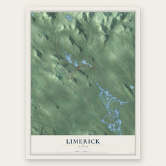
More maps nearby: Bonny Eagle, Lake Arrowhead, Standish, Baldwin and Hollis.
The art of mapping a place
How This Map Was Made
Real places. Remarkable detail. Discover the layers that turn geographic data into a map of home.

The view from above
Aerial imagery reveals the character of the land: woodland, open fields, and the patterns of a place.

The shape of the land
Elevation data brings hills, valleys, and subtle changes in the landscape into view.

The details of home
Roads, waterways, and building footprints come together to make the map feel unmistakably local.

Geography becomes art
Considered color, shading, and typography bring the layers together in a map made for your wall.


Process illustrated with Mendon, Massachusetts. Aerial imagery: USDA NAIP. Terrain: USGS 3D Elevation Program. Map details and finished artwork: KNOWOL.
The Details
About This Print
Choose an archival matte print, or a black or white Ayous wood frame. The archival matte print is unframed.
Select your size and finish above to see the matching product image and price.
Materials & Craftsmanship
A contemporary map with the character of a classic atlas, printed on archival matte paper. Optional frames are made from Ayous wood.
Your printed map does not include the watermark shown in the full-map preview.
Shipping & Delivery
Free shipping within the United States. Every print is made to order in the USA.
Buying a gift? Add a note in your cart and we'll include it. We never put prices in the package.
Prints ship within 2 to 3 business days. Allow 7 to 10 days total from ordering for delivery. Timing may vary during holidays or periods of high order volume.
Read our shipping policy.
Returns and damaged prints
Each print is made to order. Change-of-mind refunds are not available after production.
If your print arrives damaged, misprinted or incorrect, contact support@knowol.com within 30 days of receiving it. Include your order number, photos and a description of the issue.
Read our full refund and replacement policy. For questions about your order, email support@knowol.com.