
Search for another town

Free U.S. delivery 7 to 10 days after you order
Limerick, Maine Map Art
Building by building, with labeled streets and shaded relief.
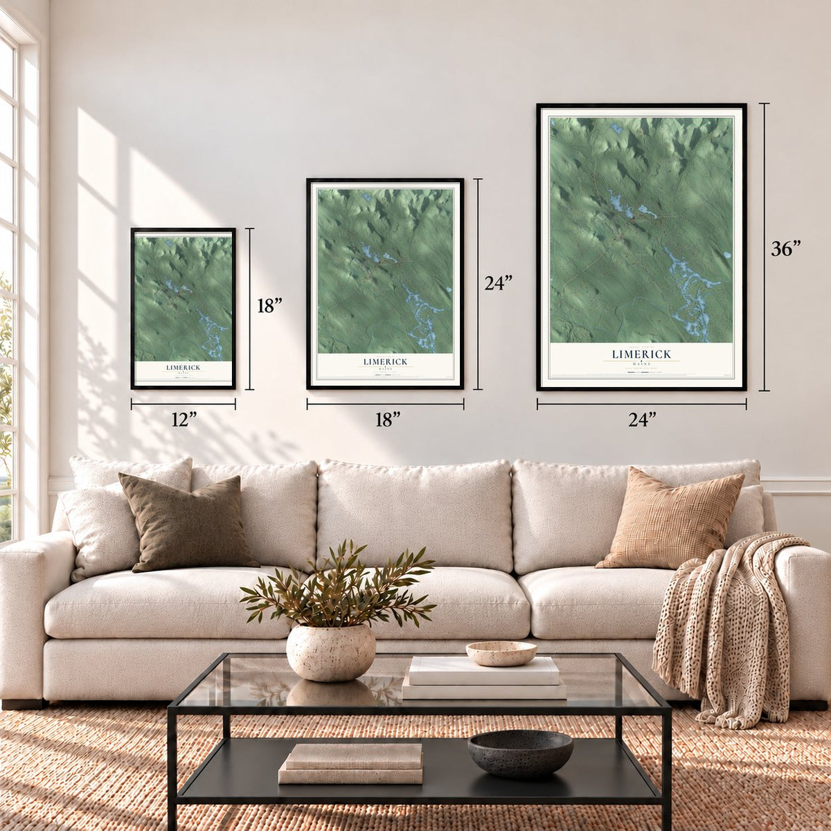
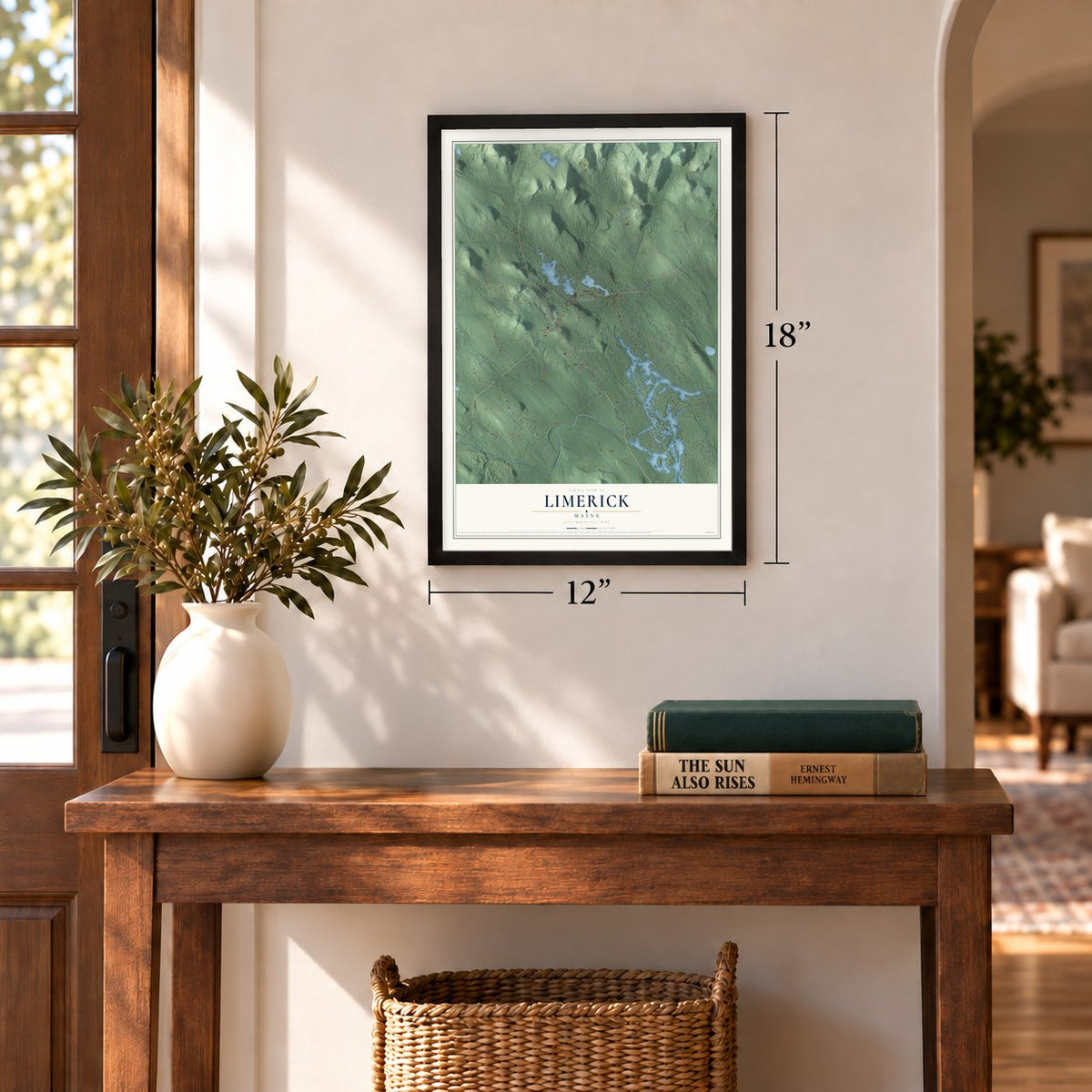
12" x 18" Archival Matte Print
A Map of Home. A Work of Art.
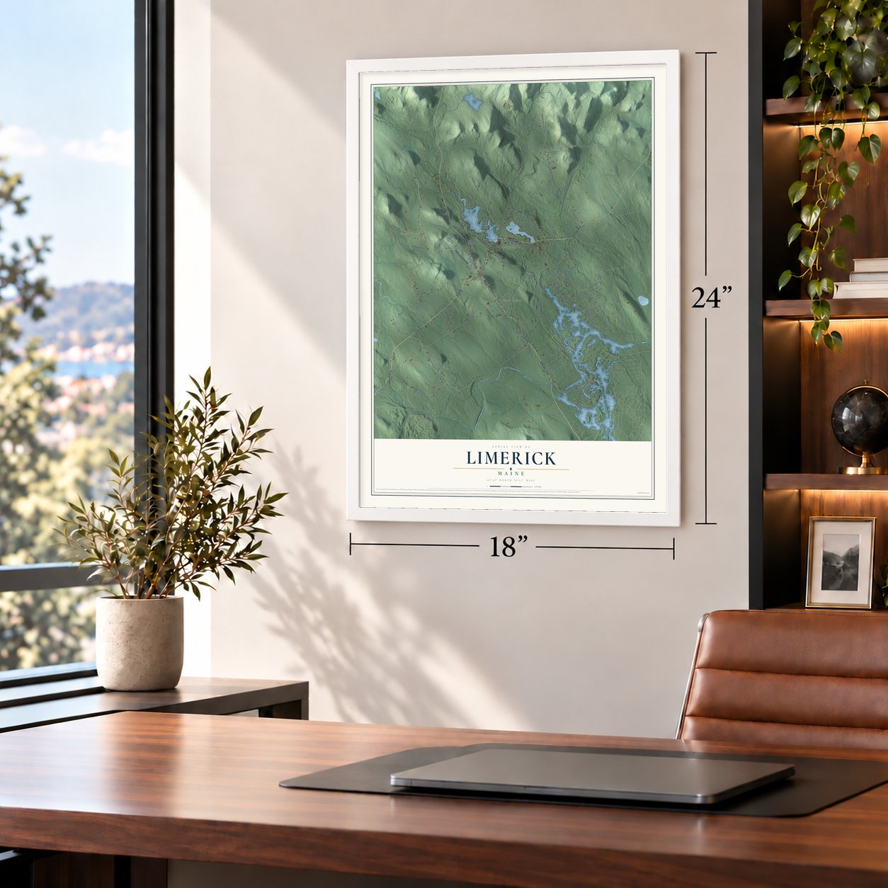
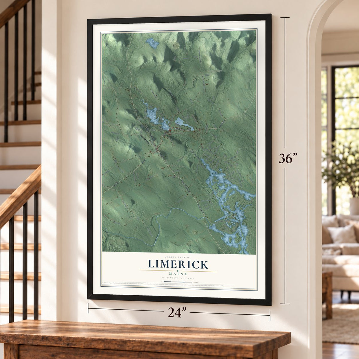
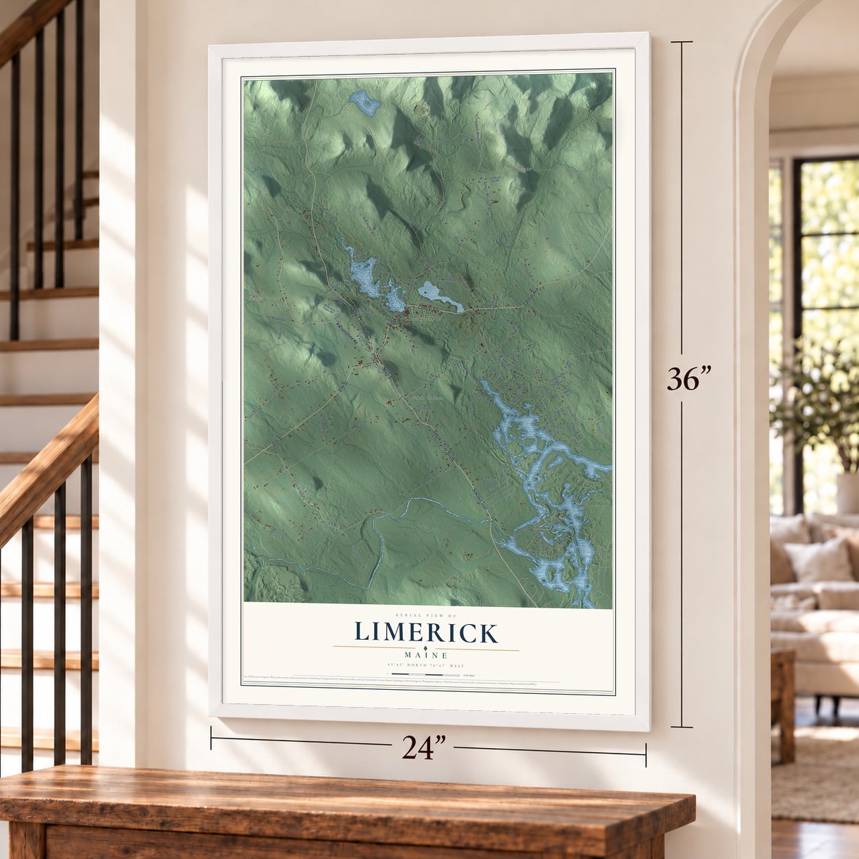
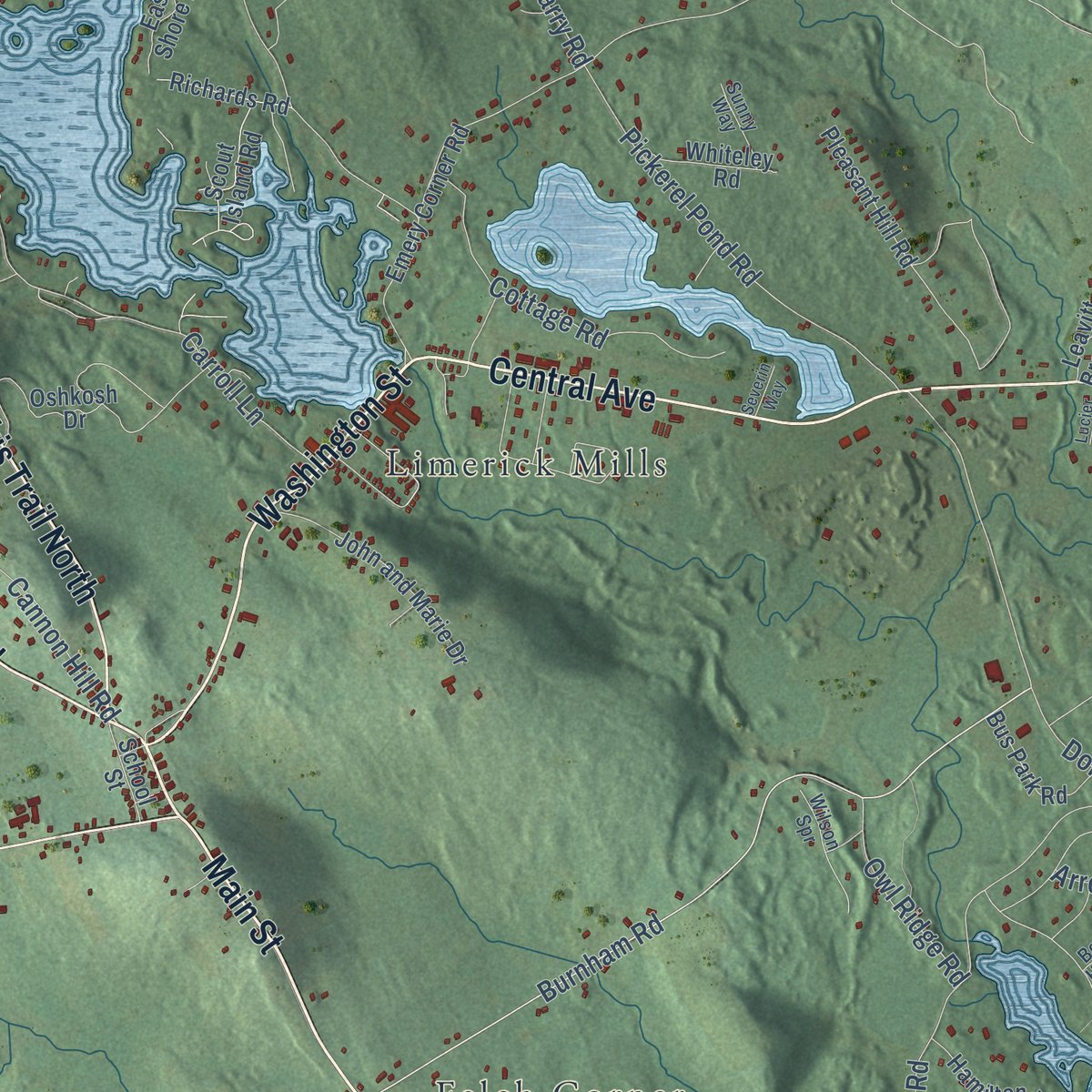
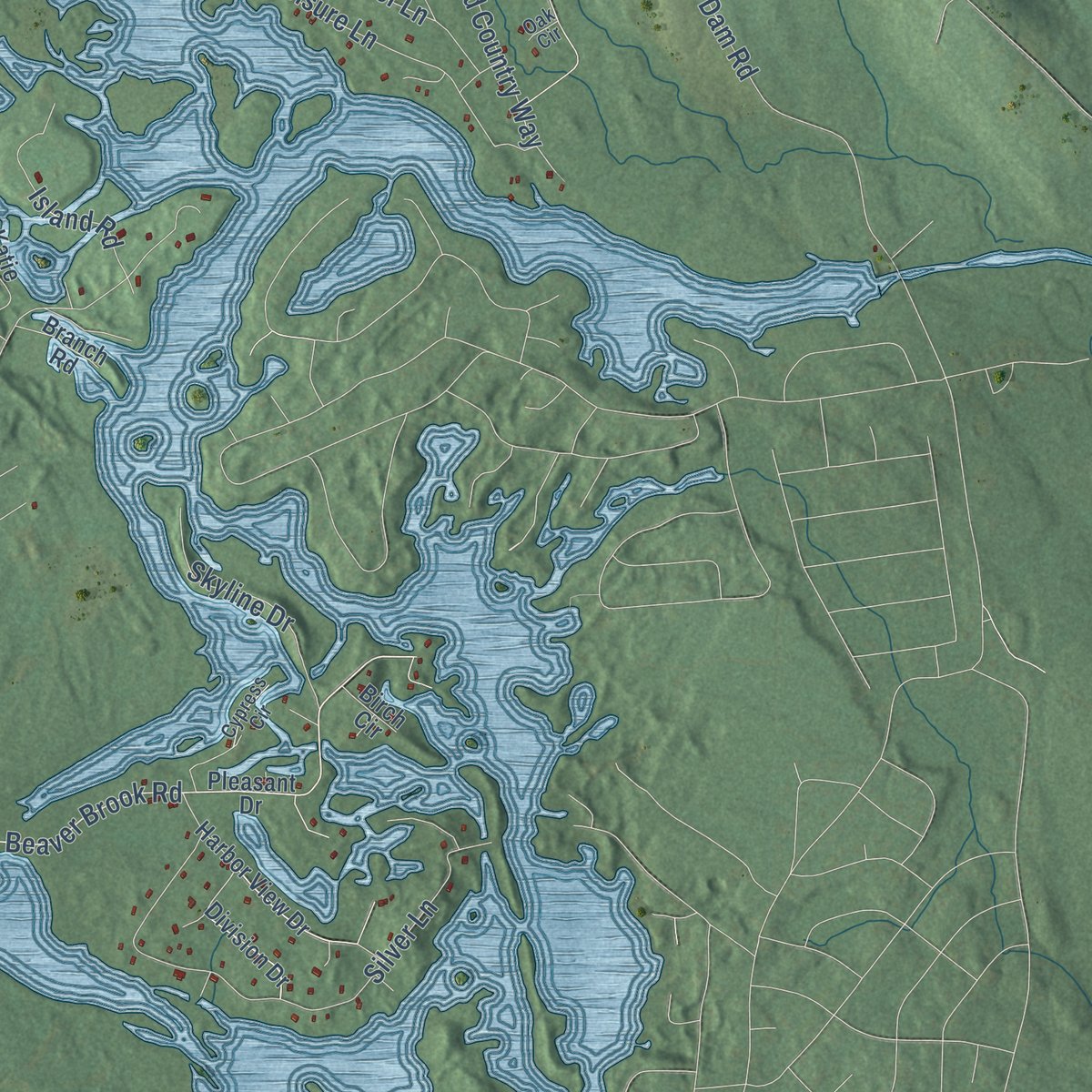
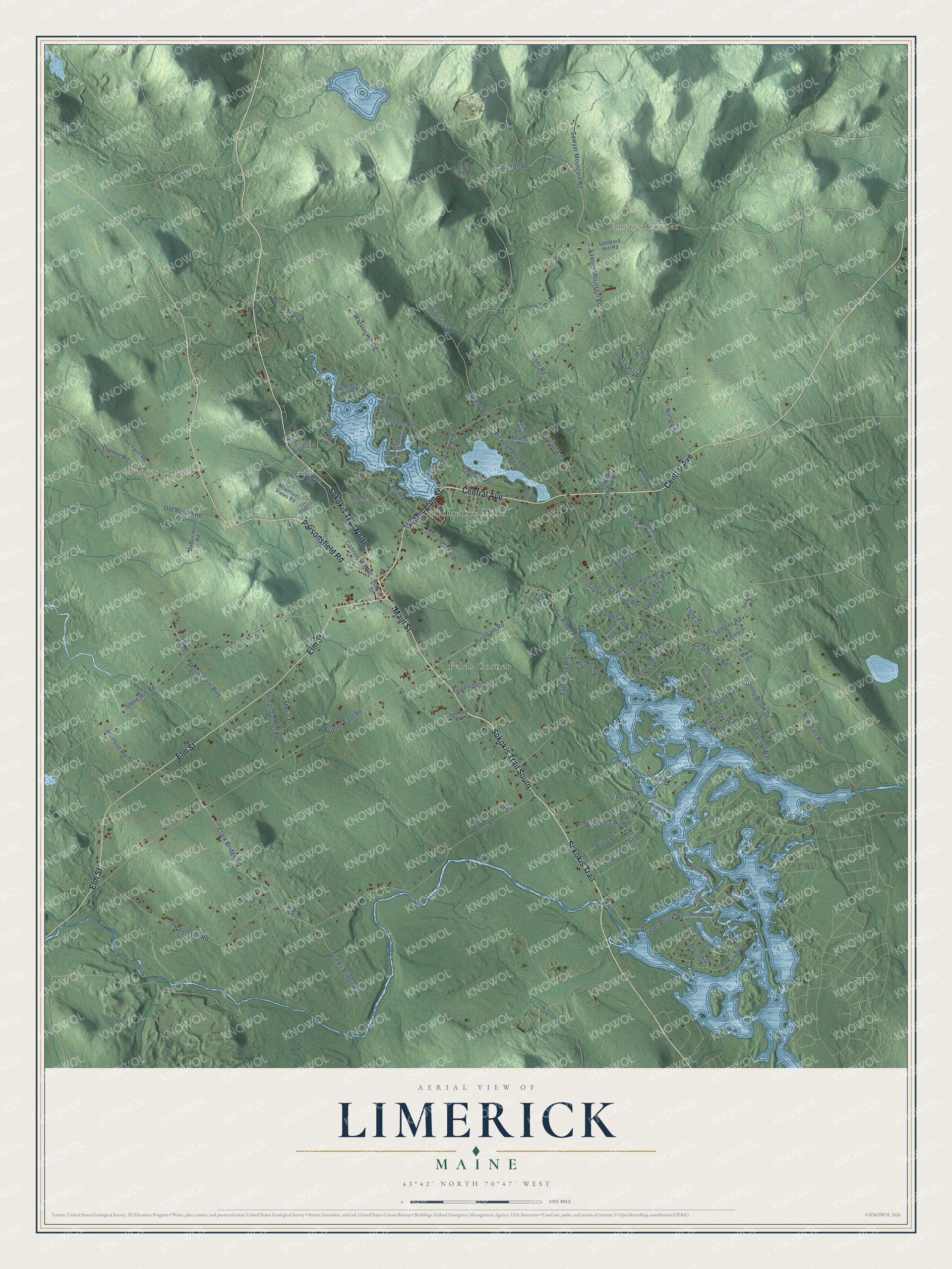
Explore Limerick, Maine from a whole new perspective. Created using aerial imagery and detailed geographic data, this map captures Limerick building by building, with labeled streets, familiar landmarks, and shaded topographical relief that highlights the natural contours of the landscape.
Combining modern data with the timeless character of a vintage atlas, this map is just as interesting up close as it is beautiful on the wall. Whether you grew up in Limerick, spent memorable years there, or call it home today, this unique map is a great way to celebrate a place that means something to you. Zoom in on the preview to look for your street, and then order a print to put your memories on the wall.
Three ways to hang it
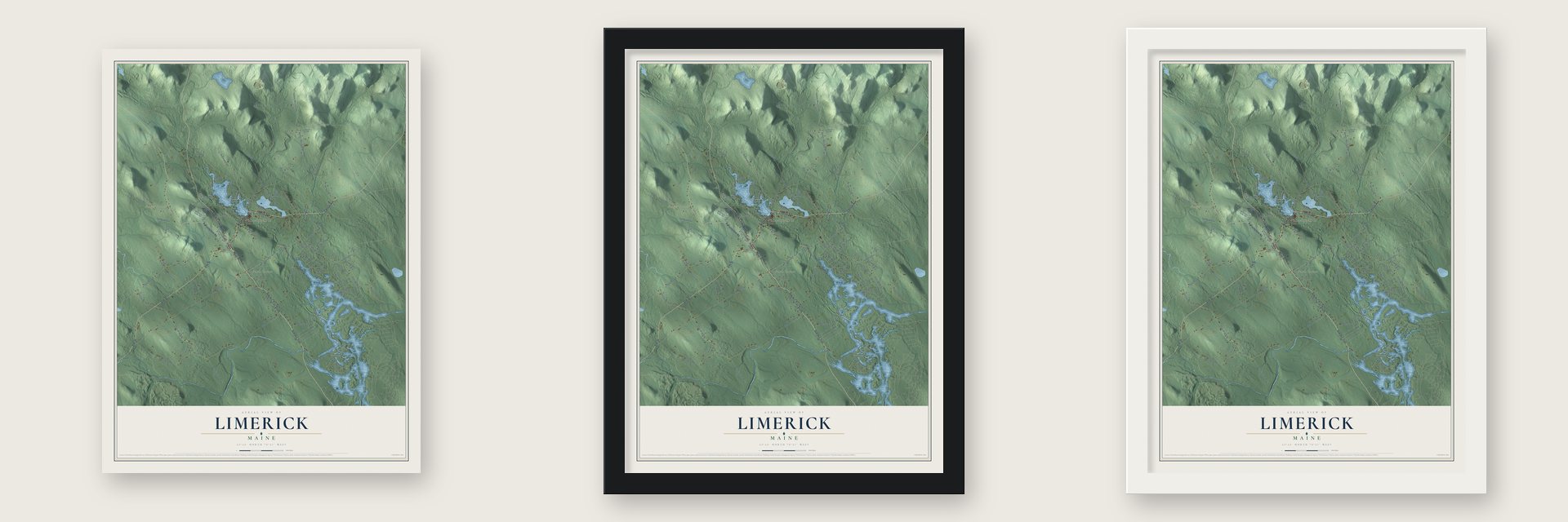
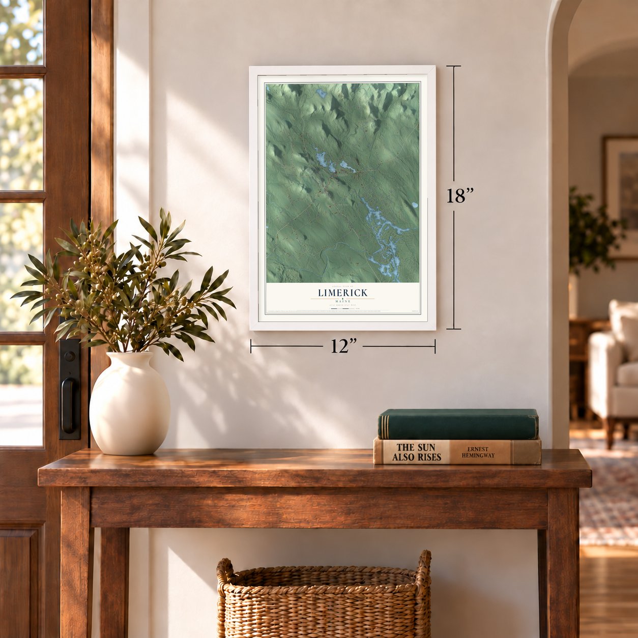
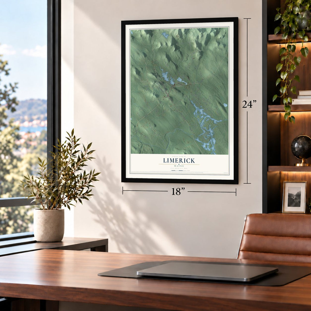
Unframed archival matte, a black wood frame or a white wood frame.
Up close
Geography Worth Displaying
This map was created using accurate cartographic data and authoritative geographic sources, including the U.S. Geological Survey (USGS) and FEMA. The map brings together terrain, waterways, roads, and building detail. The majority of the streets are labeled, houses are accurately depicted, and the topography is derived from government sources. Combining local data with carefully composed color and shading leads to this beautifully detailed Limerick artwork for your wall.
Rather than simply showing street outlines, we’ve included as many of the street names as we could reasonably fit on the map while keeping their names legible. Zoom in on the high resolution preview to see exactly what’s on the map. We truly set out to create a statement piece for anyone who loves Limerick. So whether it’s for you, or a gift for someone you love, we hope this map of Limerick brings back fond memories.
Explore the full map of Limerick, Maine and read about the local places it shows.
Find your street
Names on the Limerick map
Every name below is printed on this map. Look for your street, your school, the park where you played, or the pond down the road.
Places and landmarks4
- Emerys Corner
- Perrys Corner
- Felch Corner
- Limerick Mills
Streets and roads115
- Sokokis Trail
- Sokokis Trail South
- Central Avenue
- Washington Street
- Main Street
- Parsonsfield Road
- Elm Street
- Sokokis Trail North
- Beaver Brook Road
- Norton Road
- Coffin Hill Road
- Sawyer Mountain Road
- Highland Road
- Burnham Road
- Clarks Bridge Road
- Rohr Road
- Clark Bridge Road
- Johnson Road
- Carroll Lane
- Range East Road
- Foss Road
- Doles Ridge Road
- Quarry Road
- Stone Hill Road
- Leisure Lane
- North Shore Drive
- Enterprise Road
- Patterson Road
- Watson Hill Road
- Deer Crossing Road
Show all 115 streets
- Waycross Way
- Silver Lane
- Long Street
- Cramm Road
- Old Country Way
- Grandview Road
- Old Middle Road
- Pickerel Pond Road
- New Dam Road
- Nason Road
- Stony Brook Drive
- Cottage Road
- Island Road
- Sedgley Road
- Things Corner Road
- Fisher Drive
- Skyline Drive
- Cannon Hill Road
- Arrowhead Lane
- Alice Drive
- Birch Lane
- Joyce Drive
- Morin Farm Way
- Owl Ridge Road
- Cornish Road
- Quaker Lane
- Sportsmans Way
- Edge Hill Road
- Morin Drive
- Lori Lane
- Pleasant Drive
- Mountain Views Road
- Stephen Way
- Division Drive
- Shire Road
- Emery Corner Road
- Lombard Hill Road
- Pleasant Hill Road
- Sedgly Road
- Harbor View Drive
- Provencher Drive
- John and Marie Drive
- Dubourdieu Road
- Pond Road
- Hoyt Road
- Oshkosh Drive
- Town Farm Road
- Hamilton Way
- Richards Road
- Bus Park Road
- Scout Island Road
- Mallard Drive
- Whiteley Road
- Moon Circle
- Prokey Drive
- Owls Hill Road
- Leavitt Brook Road
- Smith Road
- East Shore Drive
- School Street
- Katie Circle
- Junkins Road
- Hemlock Hill Road
- Kelley Lane
- Branch Road
- Yoho Circle
- Dyer Lane
- Jay Lane
- Birch Circle
- Claymore Terrace
- Caribou Drive
- Moose Circle
- Brookside Lane
- Sunny Way
- Bear Hill Lane
- Cypress Circle
- Wilson Spr
- Oak Circle
- Sawyers Mountain Road
- Richardson Lane
- Fire Tower Lane
- Helen Circle
- Lucier Lane
- Andrew Terrace
- Severin Way
Names are listed as they appear on the printed map. Zoom into the product photos to find them.
About Limerick, Maine
Limerick is a town of 3,188 people in York County, set among hills, lakes and brooks. The land belonged to the Newichewannock Abenaki, whose village sat beside the Salmon Falls River. Kittery trader Francis Small bought a large tract from Chief Captain Sunday, also called Wesumbe, in 1668, paying with twenty strings of beads, two blankets, four pounds of musket balls, two pounds of gunpowder and two gallons of rum. Small then sold half his share to Major Nicholas Shapleigh of Eliot, a rich Piscataqua merchant.
The French and Indian Wars kept settlers away until the Treaty of Paris ended them in 1763. Ten years later the heirs of Small and Shapleigh offered Biddeford lawyer James Sullivan a township if he would defend their bigger claims in court. Sullivan agreed, and in 1775 he helped settle Limerick Plantation, naming it for the Irish city where his father was born. The town was incorporated on March 6, 1787.
- Holland Blankets for the UnionJames Bradbury started the Limerick Manufacturing Company on Brown Brook in 1846. Joshua Holland bought the mill in 1857, and its Holland Blankets became famous across the country and kept Civil War soldiers warm. A village known for a time as Hollandville grew up around the mill.
- Farms along the Sokokis TrailLimerick's village took shape beside the old Sokokis Trail, today's Route 5. The trail led from Pequawket, a Sokokis village where Fryeburg stands now, down to the coast at what is now Saco. Good soil made Limerick a farming town of hay, apples, grapes, cranberries, cattle and dairy. Its brooks powered four furniture factories, a clothing factory and grist, shingle and lumber mills, beside three tanneries and four blacksmith shops.
- The Morning Star, 1826The Morning Star, a Free Will Baptist newspaper that opposed slavery, was founded in Limerick in 1826.
- Leavitt Brook and New LimerickDr. Joshua Leavitt was among the first settlers, and Leavitt Brook carries his name. Families from Limerick later moved north and settled the town of New Limerick in Aroostook County.
- A pioneer children's librarianBorn in Limerick, Anne Carroll Moore went to Limerick Academy, then studied library work at Pratt Institute in Brooklyn. From 1906 to 1941 she led children's services at the New York Public Library, starting story times and staff training. In 1925 her book Nicholas: A Manhattan Christmas Story finished as a Newbery Medal runner-up.
Keep exploring Maine
Limerick is one of 536 Maine towns we've mapped. Every dot on the map is a print of its own.
The search covers every state, Maine first.
Near Limerick
Order 2 or more town maps and save 10%. Shown in the size and finish you picked above, so they hang as a set.
- Lake Arrowhead 12" x 18" / Archival Matte Print $39.99
- Cornish 12" x 18" / Archival Matte Print $39.99
- Limington 12" x 18" / Archival Matte Print $39.99

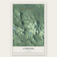
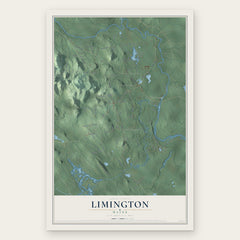
More maps nearby: Newfield, Waterboro, Parsonsfield, Bonny Eagle and Hollis.
The art of mapping a place
How This Map Was Made
Real places. Remarkable detail. Discover the layers that turn geographic data into a map of home.

The view from above
Aerial imagery reveals the character of the land: woodland, open fields, and the patterns of a place.

The shape of the land
Elevation data brings hills, valleys, and subtle changes in the landscape into view.

The details of home
Roads, waterways, and building footprints come together to make the map feel unmistakably local.

Geography becomes art
Considered color, shading, and typography bring the layers together in a map made for your wall.


Process illustrated with Mendon, Massachusetts. Aerial imagery: USDA NAIP. Terrain: USGS 3D Elevation Program. Map details and finished artwork: KNOWOL.
The Details
About This Print
Choose an archival matte print, or a black or white Ayous wood frame. The archival matte print is unframed.
Select your size and finish above to see the matching product image and price.
Materials & Craftsmanship
A contemporary map with the character of a classic atlas, printed on archival matte paper. Optional frames are made from Ayous wood.
Your printed map does not include the watermark shown in the full-map preview.
Shipping & Delivery
Free shipping within the United States. Every print is made to order in the USA.
Buying a gift? Add a note in your cart and we'll include it. We never put prices in the package.
Prints ship within 2 to 3 business days. Allow 7 to 10 days total from ordering for delivery. Timing may vary during holidays or periods of high order volume.
Read our shipping policy.
Returns and damaged prints
Each print is made to order. Change-of-mind refunds are not available after production.
If your print arrives damaged, misprinted or incorrect, contact support@knowol.com within 30 days of receiving it. Include your order number, photos and a description of the issue.
Read our full refund and replacement policy. For questions about your order, email support@knowol.com.