
Search for another town


Free U.S. delivery 7 to 10 days after you order
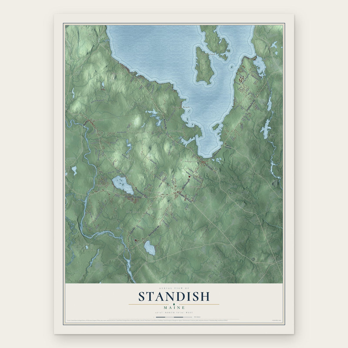
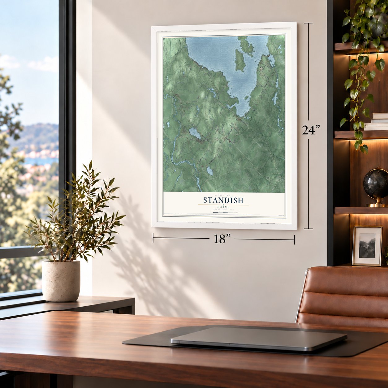
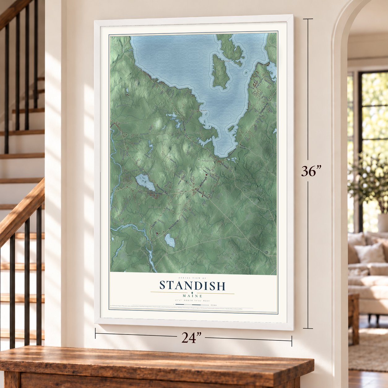
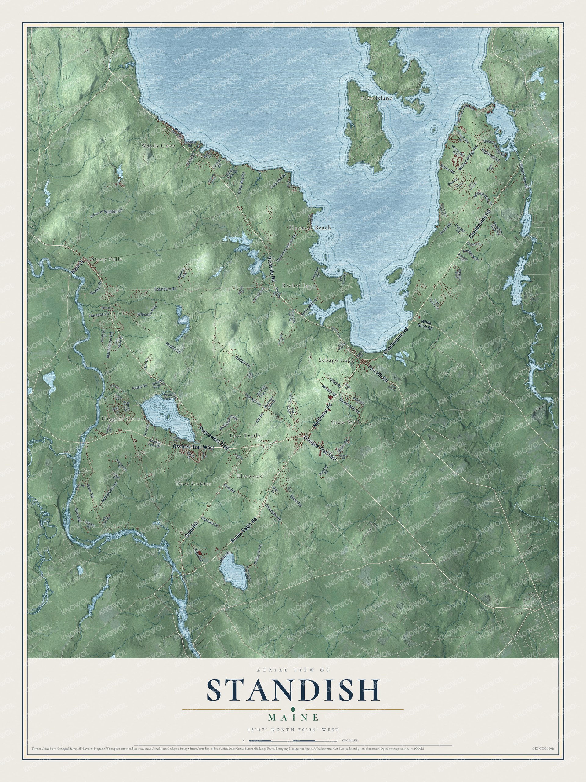
Standish, Maine Map Art
Building by building, with labeled streets and shaded relief.
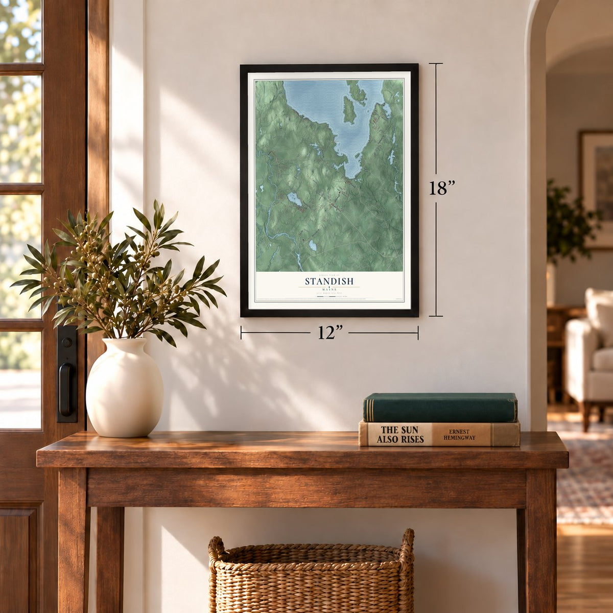
12" x 18" Archival Matte Print
A Map of Home. A Work of Art.
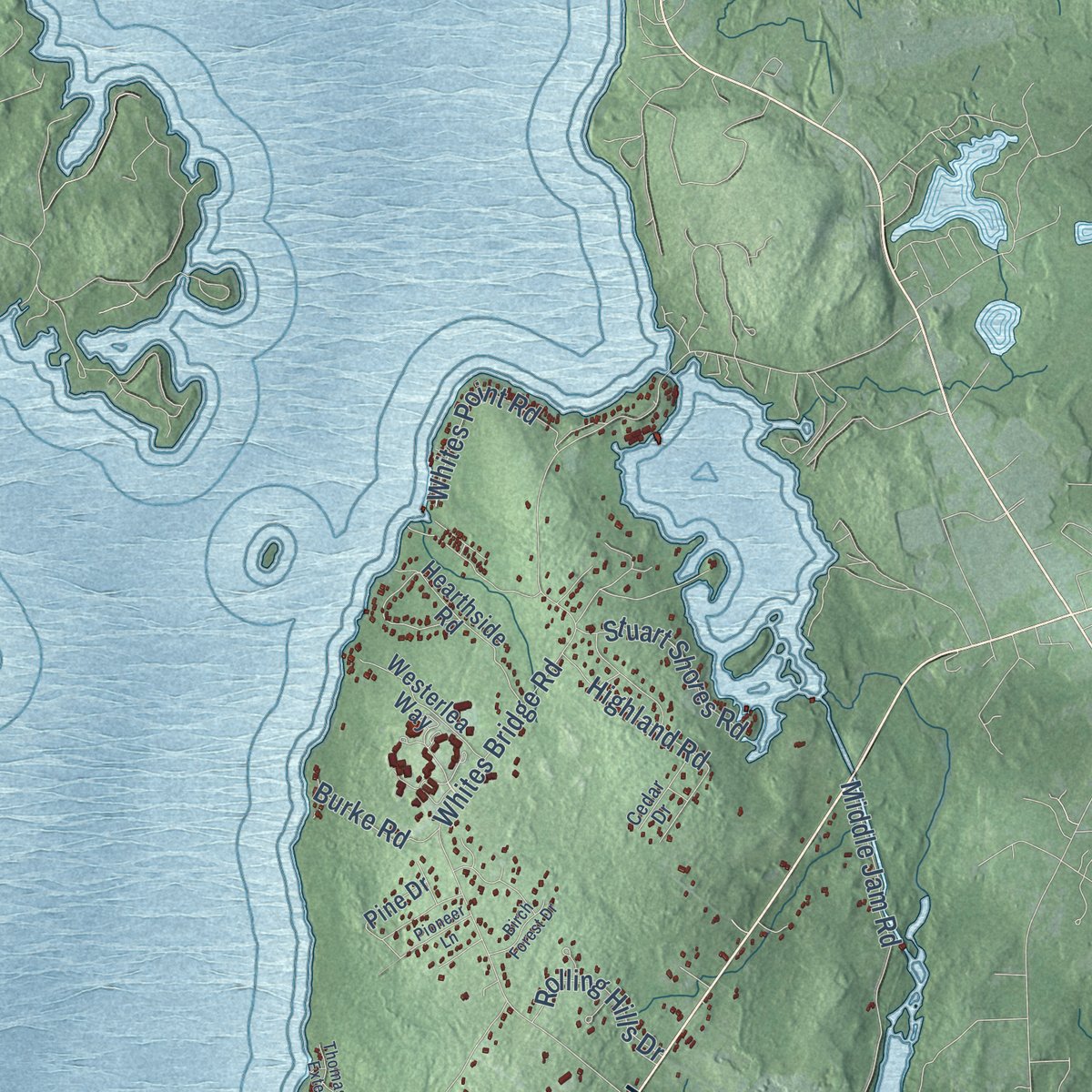
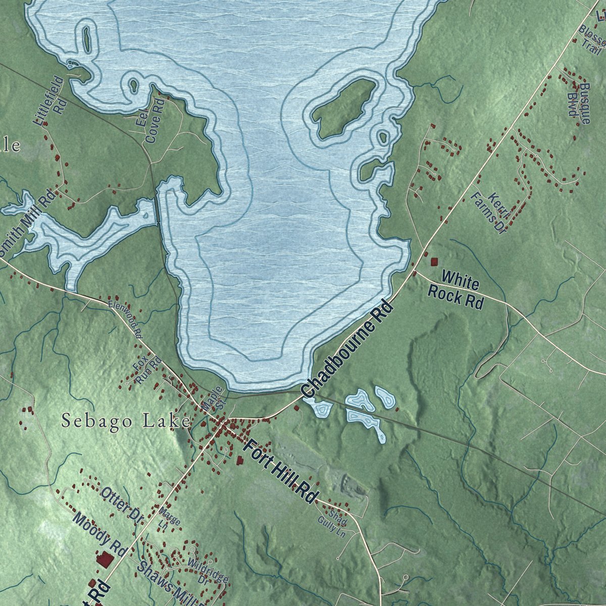
Explore Standish, Maine from a whole new perspective. Created using aerial imagery and detailed geographic data, this map captures Standish building by building, with labeled streets, familiar landmarks, and shaded topographical relief that highlights the natural contours of the landscape.
Combining modern data with the timeless character of a vintage atlas, this map is just as interesting up close as it is beautiful on the wall. Whether you grew up in Standish, spent memorable years there, or call it home today, this unique map is a great way to celebrate a place that means something to you. Zoom in on the preview to look for your street, and then order a print to put your memories on the wall.
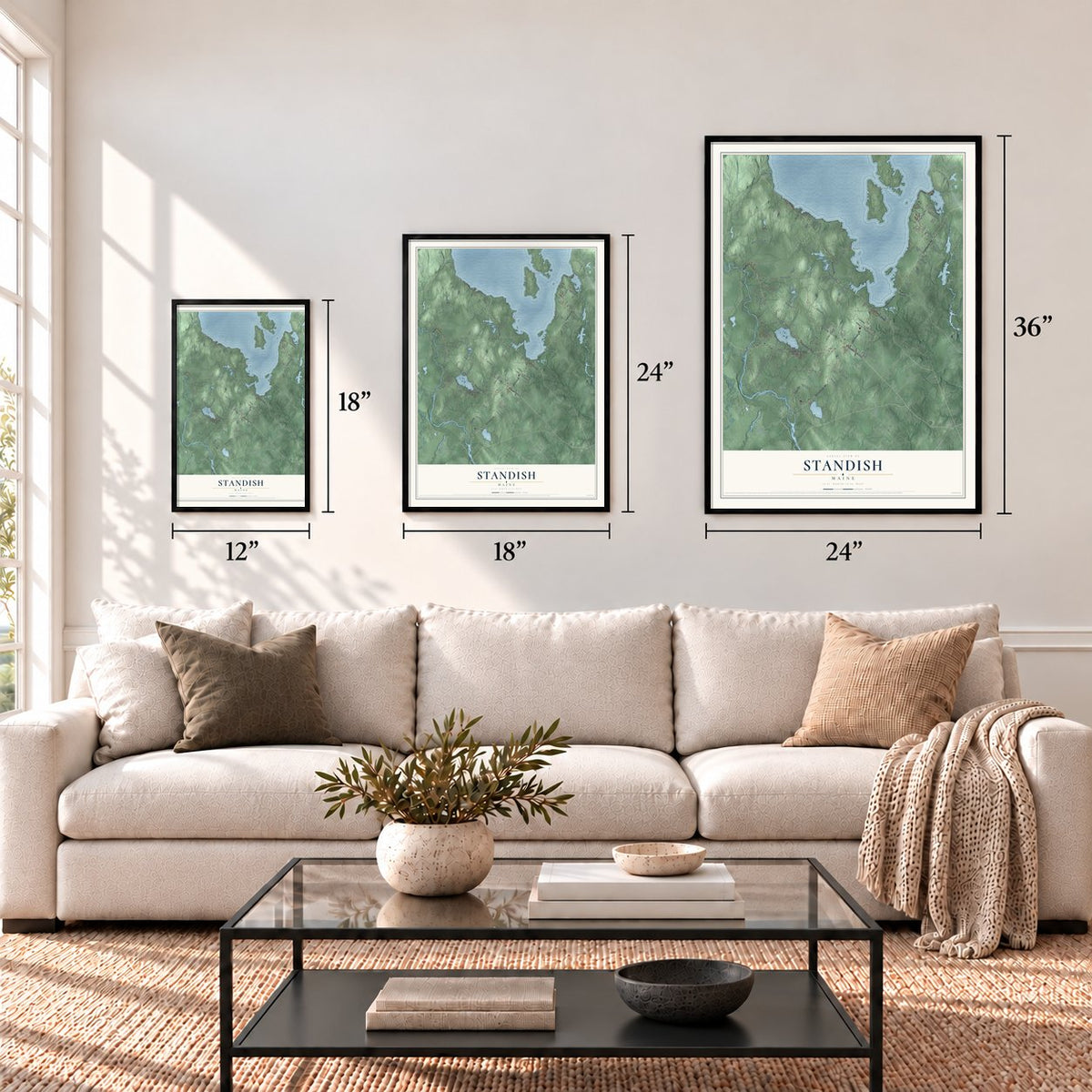
Three ways to hang it
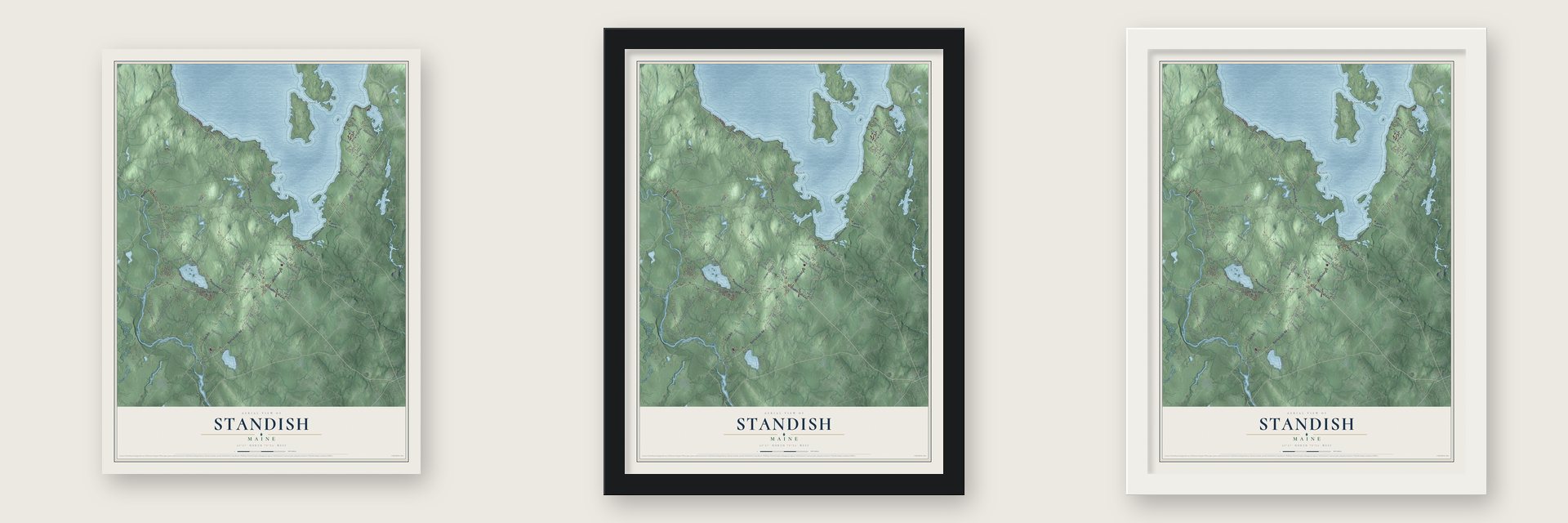
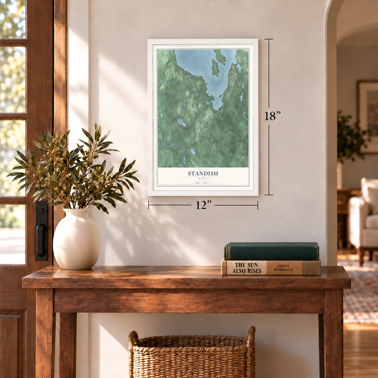
Unframed archival matte, a black wood frame or a white wood frame.
Up close
Geography Worth Displaying
This map was created using accurate cartographic data and authoritative geographic sources, including the U.S. Geological Survey (USGS) and FEMA. The map brings together terrain, waterways, roads, and building detail. The majority of the streets are labeled, houses are accurately depicted, and the topography is derived from government sources. Combining local data with carefully composed color and shading leads to this beautifully detailed Standish artwork for your wall.
Rather than simply showing street outlines, we’ve included as many of the street names as we could reasonably fit on the map while keeping their names legible. Zoom in on the high resolution preview to see exactly what’s on the map. We truly set out to create a statement piece for anyone who loves Standish. So whether it’s for you, or a gift for someone you love, we hope this map of Standish brings back fond memories.
Explore the full map of Standish, Maine and read about the local places it shows.

Find your street
Names on the Standish map
Every name below is printed on this map. Look for your street, your school, the park where you played, or the pond down the road.
Places and landmarks11
- Richville
- Frye Island
- Higgins Corner
- Steep Falls
- Wards Cove
- Shaw Mills
- Elmwood
- Harmon Beach
- Sebago Lake
- Dow Corner
- Two Trails
Streets and roads119
- Ossipee Trail West
- Fort Hill Road
- Ossipee Trail East
- Northeast Road
- Bonny Eagle Road
- Richville Road
- Chadbourne Road
- Pequawket Trail
- Cape Road
- Main Street
- Acres of Wildlife Road
- Oak Hill Road
- Boundary Road
- Middle Road
- River Road
- Saco Road
- Whites Bridge Road
- Manchester Road
- Cole Hill Road
- Pond Road
- Moody Road
- Dolloff Road
- Milt Brown Road
- Job Road
- Smith Mill Road
- Harmons Beach Road
- Blake Road
- Shaws Mill Road
- Great Bay Road
- Dow Road
Show all 119 streets
- Highland Road
- Spear Road
- Middle Jam Road
- Whites Point Road
- McGill Fern Road
- Stuart Shores Road
- Chicopee Road
- Bliss Road
- Rolling Hills Drive
- Wheaton Way
- Luckys Run
- Florence Lane
- Geneva Drive
- Chelsea Drive
- Burke Road
- Rines Road
- Otter Drive
- Easy Street
- Shore Road
- White Rock Road
- Harmons Hill Road
- Kerri Farms Drive
- Oak Ridge Drive
- Westerlea Way
- Hearthside Road
- Royal Pine Drive
- Natures Way
- Littlefield Road
- Randall Road
- Hi-Vu Drive
- Varney Road
- Standish Neck Road
- Thomas Road
- Wards Cove Road
- Dale Lane
- Dennis Woods
- Fair Wind Drive
- Sandy Cove Road
- Eel Cove Road
- Busque Boulevard
- Watchic Road 21
- Whitney Pines Drive
- Carroll Avenue
- Mountain View Drive
- Shadow Lawn Drive
- Watchic Road 19
- Pine Drive
- Birch Drive
- Trickey Road
- Sandbar Road
- Mosley Road
- Alec Drive
- Maine Avenue
- Roy Lane
- Woodridge Drive
- Angelwood Road
- Wildridge Drive
- Woodrow Drive
- Barker Road
- Emery Road
- Bonny Eagle Pond Road
- Eaton Road
- Cedar Drive
- Fox Run Road
- Harmony Drive
- Eleanor Avenue
- Libby Pines Road
- Susan Drive
- Bluff Drive
- Juniper Lane
- Blossom Trail
- Lindsey Drive
- Isaiah Drive
- Baldwin Road
- Prouty Drive
- Maple Street
- Liza Lane
- Thomas Road Extended
- Smooth Ledge Road
- Westside Sebago
- Elenwood Road
- Shad Gully Lane
- Deborah Lane
- Rosida Drive
- Birch Forest Drive
- Johns Way
- Pioneer Lane
- Warren Road
- Marge Lane
Names are listed as they appear on the printed map. Zoom into the product photos to find them.
About Standish, Maine
Standish is a town of 10,244 people in Cumberland County, on the shore of Sebago Lake. The Abenaki once hunted and fished this land, and the Pequawket Trail, now Route 113, led to their main village at Pequawket, today's Fryeburg. In 1750 the Massachusetts General Court rewarded Captain Moses Pearson and Captain Humphrey Hobbs, with their two companies, for service in the French and Indian Wars by granting them the township.
Hobbs died, and none of his men ever claimed their share, so the grant became Pearson's men's alone. Surveyors split the land into 30-acre lots in 1752. Native warriors burned the cabins of the first settlers to push them out, so the veterans raised a stockaded fort at Standish Corner. It sheltered them until the fighting ended with the Fall of Quebec in 1759. Pearsontown Plantation was incorporated on November 30, 1785, and took the name Standish in honor of Captain Myles Standish.
- Train and steamboat in a dayThe Cumberland and Oxford Canal opened in 1832, carrying more trade between Sebago Lake and Portland. On September 12, 1870, the Portland and Ogdensburg Railroad began regular passenger trains from Portland to Sebago Lake Station, with depots at Richville and Steep Falls. Visitors rode out in the morning, took a side-wheel steamboat the full length of the lakes and were home by night.
- Mills on the streamsMuch of Standish is sandy pine plain, but farmers still found plenty of good land to till. Watermills on its streams turned out flour, ice, plaster, clothing and carriages, along with lumber, barrel staves, headings, shooks and packing boxes.
- The parson's house of 1789The town's parson made his home at the center of town in the Daniel Marrett House, built in 1789. It joined the National Register and is now a museum run by Historic New England. Nearby, the Old Red Church, a meeting house from 1804, is also a museum.
- Frye Island goes its own wayFrye Island, out in Sebago Lake, belonged to Standish until 1998, when it was set off and incorporated as a town of its own. Its students still attend Bonny Eagle High School alongside those from Standish.
Keep exploring Maine
Standish is one of 536 Maine towns we've mapped. Every dot on the map is a print of its own.
The search covers every state, Maine first.
Near Standish
Order 2 or more town maps and save 10%. Shown in the size and finish you picked above, so they hang as a set.
- Steep Falls 12" x 18" / Archival Matte Print $39.99
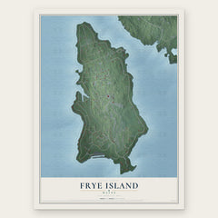
- Frye Island 12" x 18" / Archival Matte Print $39.99
- Bonny Eagle 12" x 18" / Archival Matte Print $39.99


More maps nearby: Limington, Little Falls, Gorham, North Windham and South Windham.
The art of mapping a place
How This Map Was Made
Real places. Remarkable detail. Discover the layers that turn geographic data into a map of home.

The view from above
Aerial imagery reveals the character of the land: woodland, open fields, and the patterns of a place.

The shape of the land
Elevation data brings hills, valleys, and subtle changes in the landscape into view.

The details of home
Roads, waterways, and building footprints come together to make the map feel unmistakably local.

Geography becomes art
Considered color, shading, and typography bring the layers together in a map made for your wall.


Process illustrated with Mendon, Massachusetts. Aerial imagery: USDA NAIP. Terrain: USGS 3D Elevation Program. Map details and finished artwork: KNOWOL.
The Details
About This Print
Choose an archival matte print, or a black or white Ayous wood frame. The archival matte print is unframed.
Select your size and finish above to see the matching product image and price.
Materials & Craftsmanship
A contemporary map with the character of a classic atlas, printed on archival matte paper. Optional frames are made from Ayous wood.
Your printed map does not include the watermark shown in the full-map preview.
Shipping & Delivery
Free shipping within the United States. Every print is made to order in the USA.
Buying a gift? Add a note in your cart and we'll include it. We never put prices in the package.
Prints ship within 2 to 3 business days. Allow 7 to 10 days total from ordering for delivery. Timing may vary during holidays or periods of high order volume.
Read our shipping policy.
Returns and damaged prints
Each print is made to order. Change-of-mind refunds are not available after production.
If your print arrives damaged, misprinted or incorrect, contact support@knowol.com within 30 days of receiving it. Include your order number, photos and a description of the issue.
Read our full refund and replacement policy. For questions about your order, email support@knowol.com.