
Search for another town
Free U.S. delivery 7 to 10 days after you order
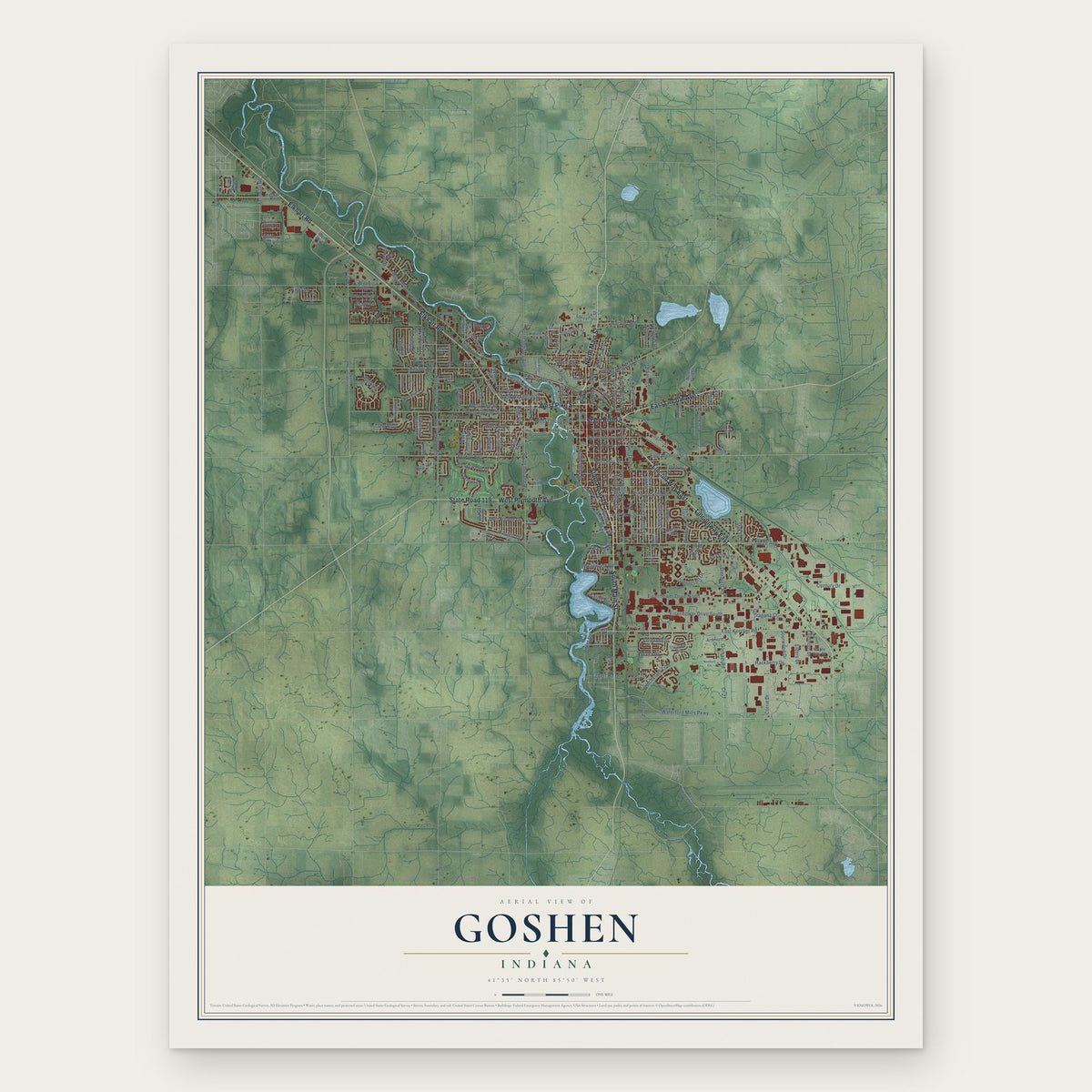
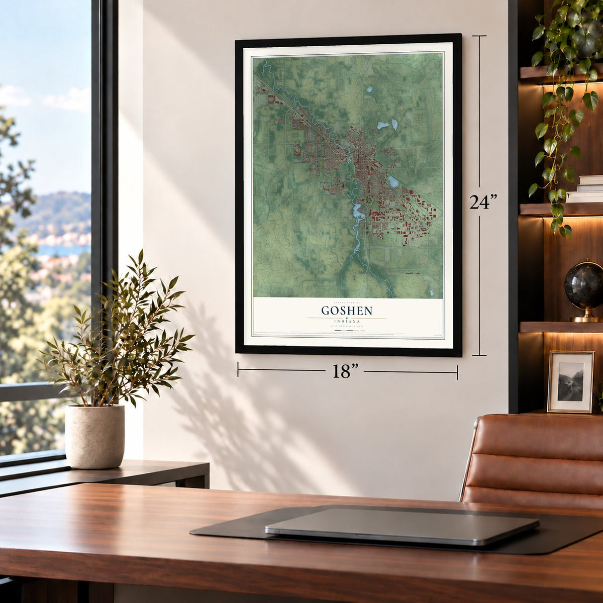
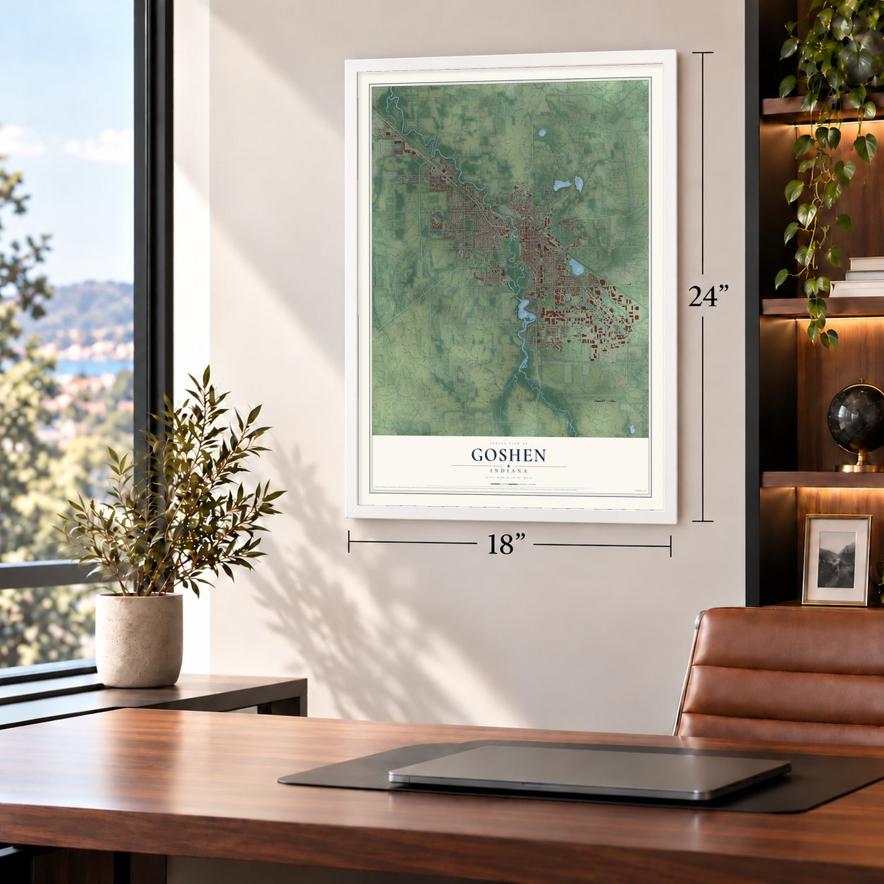
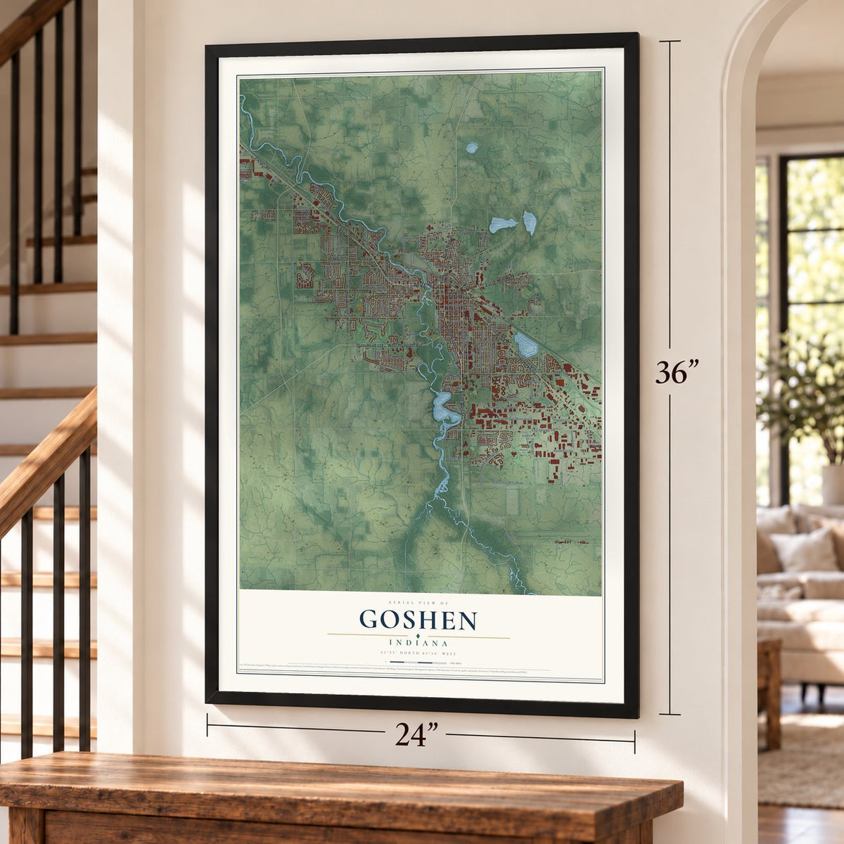
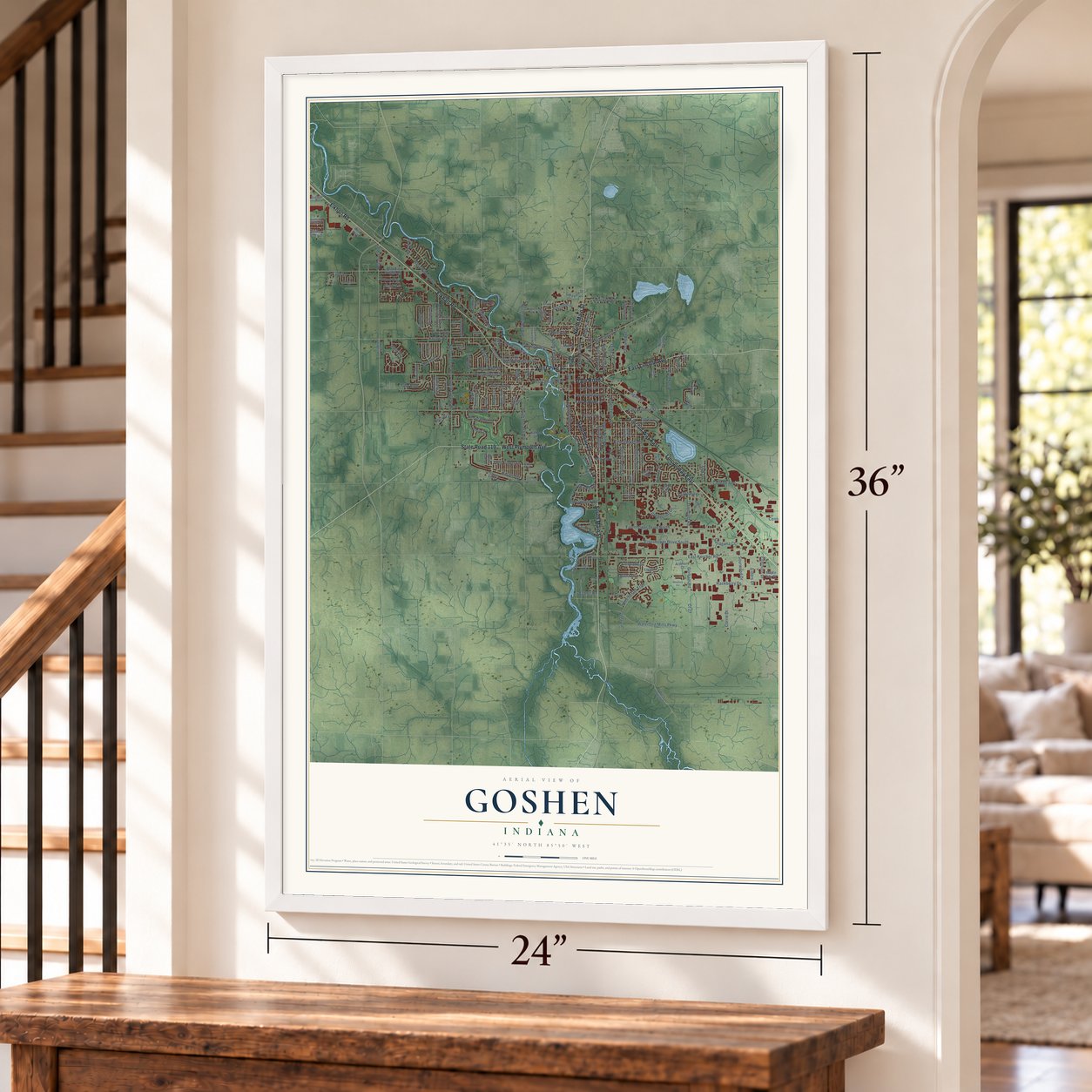
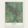
Goshen, Indiana Map Art
Building by building, with labeled streets and shaded relief.
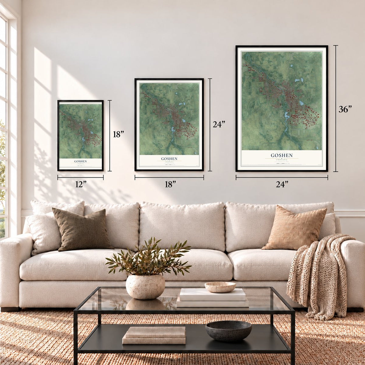
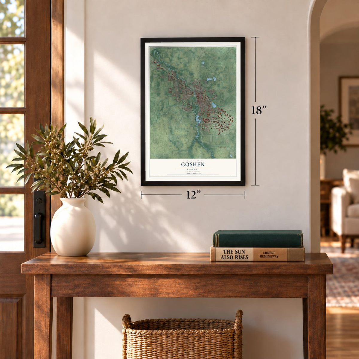
12" x 18" Archival Matte Print
A Map of Home. A Work of Art.
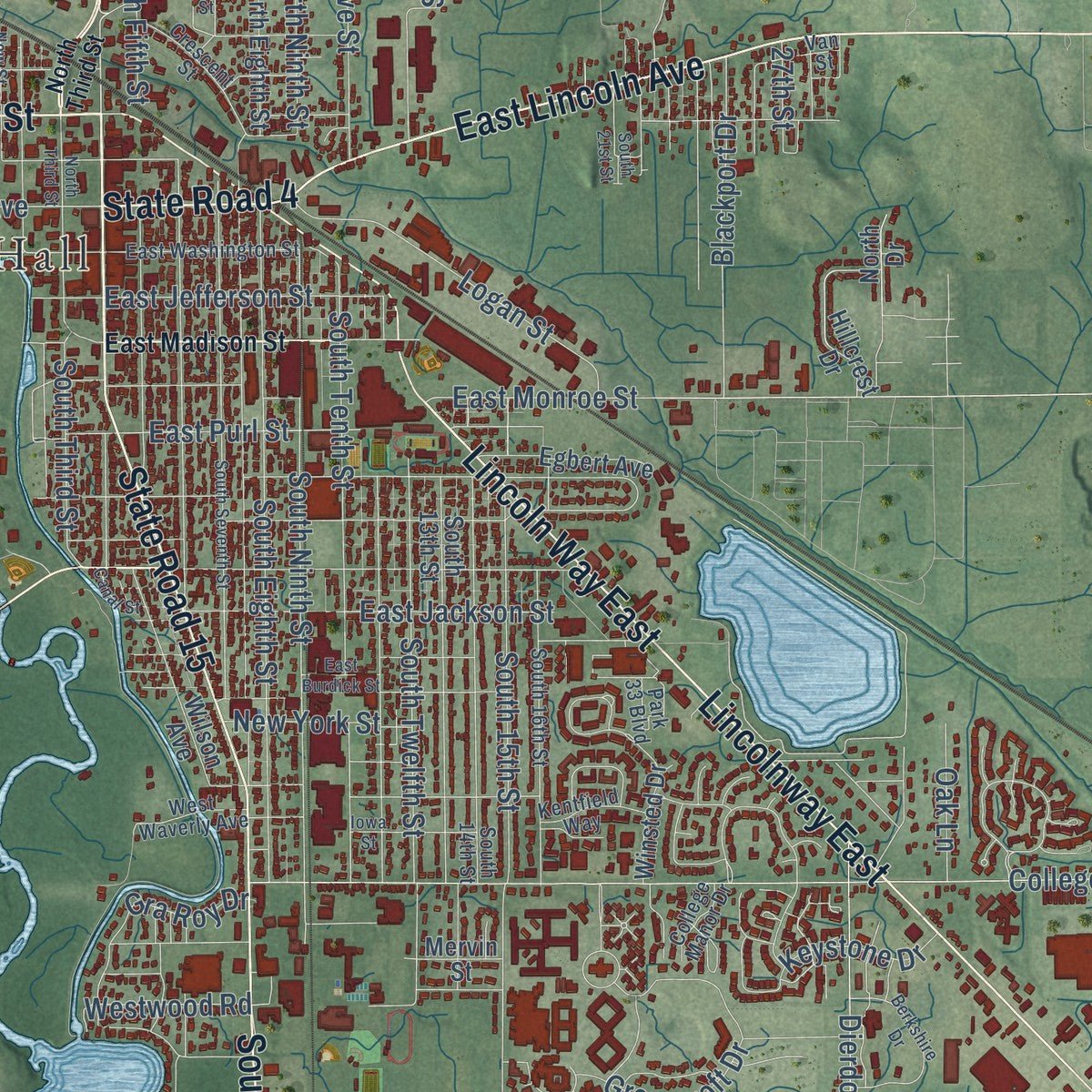
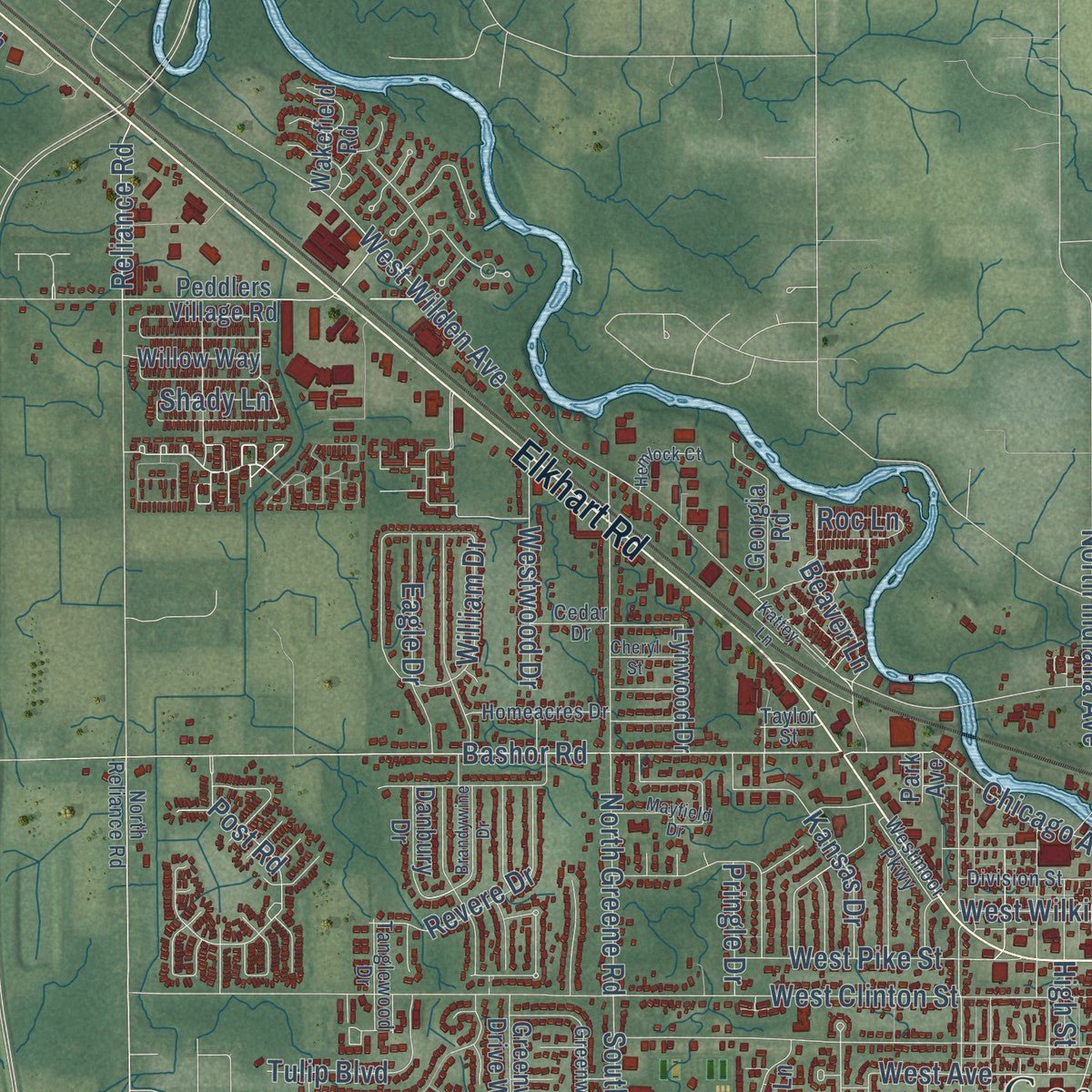
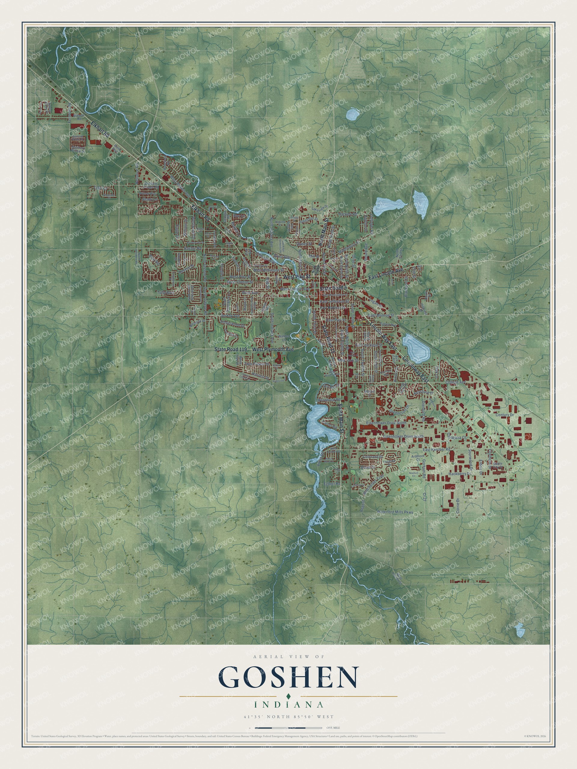
Explore Goshen, Indiana from a whole new perspective. Created using aerial imagery and detailed geographic data, this map captures Goshen building by building, with labeled streets, familiar landmarks, and shaded topographical relief that highlights the natural contours of the landscape.
Combining modern data with the timeless character of a vintage atlas, this map is just as interesting up close as it is beautiful on the wall. Whether you grew up in Goshen, spent memorable years there, or call it home today, this unique map is a great way to celebrate a place that means something to you. Zoom in on the preview to look for your street, and then order a print to put your memories on the wall.
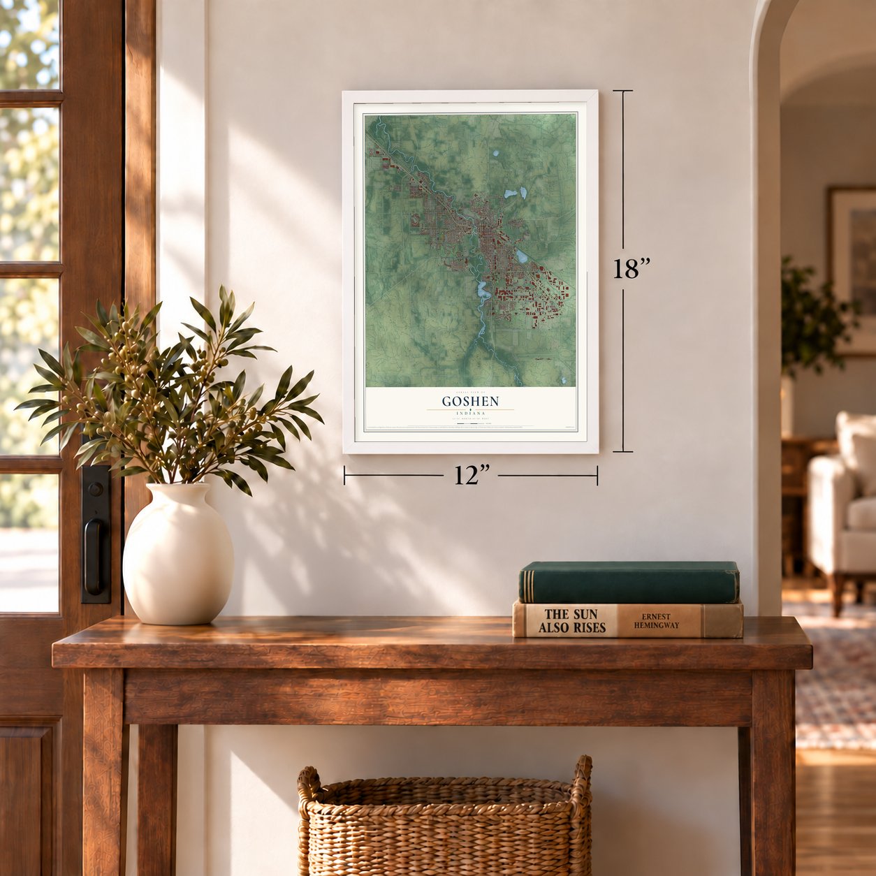
Three ways to hang it
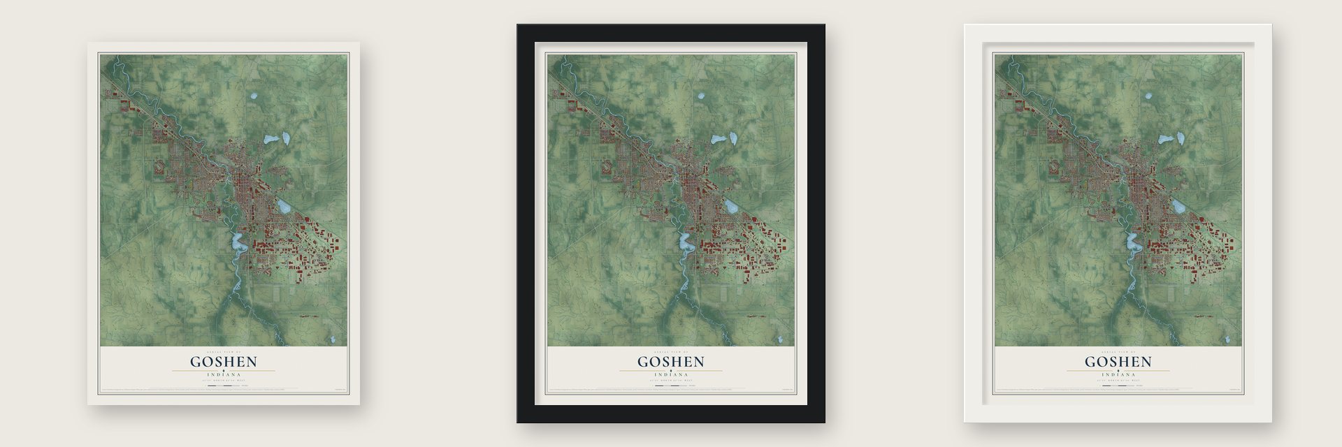
Unframed archival matte, a black wood frame or a white wood frame.
Up close
Geography Worth Displaying
This map was created using accurate cartographic data and authoritative geographic sources, including the U.S. Geological Survey and the Census Bureau. The map brings together terrain, waterways, roads, and building detail. The majority of the streets are labeled, houses are accurately depicted, and the topography is derived from government sources. Combining local data with carefully composed color and shading leads to this beautifully detailed Goshen artwork for your wall.
Rather than simply showing street outlines, we’ve included as many of the street names as we could reasonably fit on the map while keeping their names legible. Zoom in on the high resolution preview to see exactly what’s on the map. We truly set out to create a statement piece for anyone who loves Goshen. So whether it’s for you, or a gift for someone you love, we hope this map of Goshen brings back fond memories.
Read the story behind this map of Goshen, Indiana from 2026.
Find your street
Names on the Goshen map
Every name below is printed on this map. Look for your street, your school, the park where you played, or the pond down the road.
Places and landmarks1
- Goshen City Hall
Streets and roads182
- North Main Street
- South Main Street
- West Pike Street
- Elkhart Road
- Lincolnway East
- East Lincoln Avenue
- State Road 15
- State Road 119
- West Plymouth Avenue
- Lincoln Way East
- State Road 4
- Dierdorff Road
- Post Road
- West Lincoln Avenue
- West Avenue
- East Monroe Street
- East Purl Street
- Reliance Road
- West Wilden Avenue
- East Kercher Road
- College Avenue
- Eisenhower Drive North
- West Clinton Street
- Bashor Road
- Century Drive
- South 15th Street
- Berkey Avenue
- South Ninth Street
- South Eighth Street
- Gorham Road
Show all 182 streets
- South Twelfth Street
- Waterford Mills Parkway
- Greencroft Drive
- South Tenth Street
- Chicago Avenue
- North Greene Road
- North Indiana Avenue
- Eisenhower Drive South
- Middlebury Street
- South Indiana Avenue
- Blackport Drive
- Hackett Road
- Winchester Trail
- Logan Street
- East Jackson Street
- South Third Street
- West Wilkinson Street
- North Fifth Street
- Hackberry Drive
- Regent
- Harvest Drive
- Steury Avenue
- Corrie Drive
- Carter Road
- Caragana Court
- South Greene Road
- Colorado Street
- Beaver Lane
- North Sixth Street
- East Jefferson Street
- North First Street
- Olive Street
- Revere Drive
- Keystone Drive
- Sourwood Drive
- River Avenue
- Violet Road
- Westwood Drive
- Gra Roy Drive
- Amberwood Drive
- Eagle Drive
- Ferndale Road
- North Ninth Street
- Tulip Boulevard
- Johnston Street
- Firethorn Drive
- Twin Flower Drive
- Westwood Road
- New York Street
- William Drive
- Tyler Lane
- Zollinger Road
- Queen Street
- Cr 27
- Pringle Drive
- High Street
- Oak Lane
- Kansas Drive
- Egbert Road
- Alana Drive
- Elders Drive
- Mill Street
- Shady Lane
- 27th Street
- Roc Lane
- Winsted Drive
- South 13th Street
- Peddlers Village Road
- Foxbriar Lane
- North Eighth Street
- Wilson Avenue
- South Silverwood Lane
- Dewey Avenue
- Lynwood Drive
- Lakeview Drive
- Egbert Avenue
- North 23rd Street
- Wakefield Road
- Walden Lane
- West Lincoln Street
- Greenway Drive West
- Hillcrest Drive
- Westoria Drive
- Danbury Drive
- Willow Way
- Van Gilst Drive
- Huron Street
- Midway Road
- Highland Drive
- Ashton Pines Drive
- Maple City Drive
- Rieth Boulevard
- Ardmore Court
- Georgia Road
- Park Avenue
- Maple Court
- Lucerne Drive
- Southern Willow Drive
- Mervin Street
- North Drive
- White Oak Drive
- East Madison Street
- Greenway Drive
- South 14th Street
- Kentfield Way
- Clover Creek Lane
- South 16th Street
- Park 33 Boulevard
- East Washington Street
- South Riverside Boulevard
- Diamond Willow Drive
- West Kercher Road
- Crescent Street
- Homeacres Drive
- Division Street
- Skyview Drive
- West Waverly Avenue
- Tanglewood Drive
- North Reliance Road
- Taylor Street
- Westmoor Parkway
- Shawnee Drive
- College Manor Drive
- Van Street
- Cedar Drive
- Alfalfa Street
- Galen Court
- North Third Street
- Oak Ridge Cemetery Road
- South Seventh Street
- Mayfield Drive
- Michigan Avenue
- Berkshire Drive
- Martin Manor Drive
- East Burdick Street
- Brandywine Drive
- Colebrook Drive
- New Street
- Iowa Street
- Ridgeview Drive
- Arehart Street
- Newbury Circle
- Canal Street
- South 21st Street
- Alpine Fir Lane
- Hemlock Court
- Waneta Drive
- Oatfield Lane
- Summit Street
- Kattey Lane
- Cheryl Street
- Forest Court
Names are listed as they appear on the printed map. Zoom into the product photos to find them.
About Goshen, Indiana
Goshen is a city of 34,517 people and the seat of Elkhart County, in northern Indiana near the Michigan line. Miami, Peoria and Potawatomi people lived on this land for thousands of years before settlers came. The town was first settled and platted in 1831, and its founders, Yankee families from New England, named it for the Land of Goshen in the Bible.
Many of those families left New England because good farmland there had grown scarce, and the Erie Canal made the trip west far easier. They found forest and open prairie, so they cleared farms, built roads and public buildings, and set up post routes. The 1833 Treaty of Chicago forced the Potawatomi out, and in 1837 they were driven west on the march now called the Potawatomi Trail of Death.
- Palm Sunday, 1965On April 11, 1965, a wave of tornadoes crossed the Midwest. Two of them wrecked the Midway Trailer Park, now inside Goshen, and the Sunnyside Housing Addition in nearby Dunlap, while a smaller F4 hit homes on Goshen's southeast side. Across Indiana the storms took 137 lives, and Elkhart County lost 55 people. A few days afterward, President Lyndon B. Johnson visited Dunlap to see the destruction.
- An apology in 2015Goshen has been called a sundown town, where African Americans were said to be kept out by threats of violence, though no city law ever required it. In March 2015 the city formally apologized for its past racial discrimination. Goshen College produced a film, Goshen: A Sundown Town's Transformation, that tells how the town came to carry that label.
- Indiana's biggest county fairEvery late July the Elkhart County 4-H Fair fills the county fairgrounds in Goshen. No county fair in Indiana is larger, and it ranks among the biggest 4-H fairs in the nation.
- A Mennonite collegeGoshen College, a small Mennonite liberal arts school on the south side of town, has about 773 students. The band Lotus got its start there in 1998.
Keep exploring Indiana
Goshen is one of 1,023 Indiana towns we've mapped. Every dot on the map is a print of its own.
The search covers every state, Indiana first.
Near Goshen
Order 2 or more town maps and save 10%. Shown in the size and finish you picked above, so they hang as a set.
- New Paris 12" x 18" / Archival Matte Print $39.99
- Benton 12" x 18" / Archival Matte Print $39.99
- Dunlap 12" x 18" / Archival Matte Print $39.99
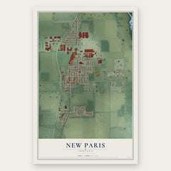
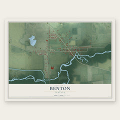
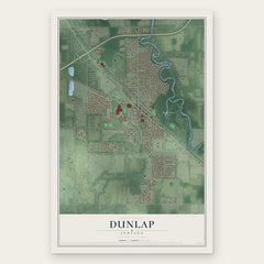
More maps nearby: Millersburg, Middlebury, Bristol, Wakarusa and Elkhart.
The art of mapping a place
How This Map Was Made
Real places. Remarkable detail. Discover the layers that turn geographic data into a map of home.

The view from above
Aerial imagery reveals the character of the land: woodland, open fields, and the patterns of a place.

The shape of the land
Elevation data brings hills, valleys, and subtle changes in the landscape into view.

The details of home
Roads, waterways, and building footprints come together to make the map feel unmistakably local.

Geography becomes art
Considered color, shading, and typography bring the layers together in a map made for your wall.


Process illustrated with Mendon, Massachusetts. Aerial imagery: USDA NAIP. Terrain: USGS 3D Elevation Program. Map details and finished artwork: KNOWOL.
The Details
About This Print
Choose an archival matte print, or a black or white Ayous wood frame. The archival matte print is unframed.
Select your size and finish above to see the matching product image and price.
Materials & Craftsmanship
A contemporary map with the character of a classic atlas, printed on archival matte paper. Optional frames are made from Ayous wood.
Your printed map does not include the watermark shown in the full-map preview.
Shipping & Delivery
Free shipping within the United States. Every print is made to order in the USA.
Buying a gift? Add a note in your cart and we'll include it. We never put prices in the package.
Prints ship within 2 to 3 business days. Allow 7 to 10 days total from ordering for delivery. Timing may vary during holidays or periods of high order volume.
Read our shipping policy.
Returns and damaged prints
Each print is made to order. Change-of-mind refunds are not available after production.
If your print arrives damaged, misprinted or incorrect, contact support@knowol.com within 30 days of receiving it. Include your order number, photos and a description of the issue.
Read our full refund and replacement policy. For questions about your order, email support@knowol.com.