
Search for another town
Free U.S. delivery 7 to 10 days after you order
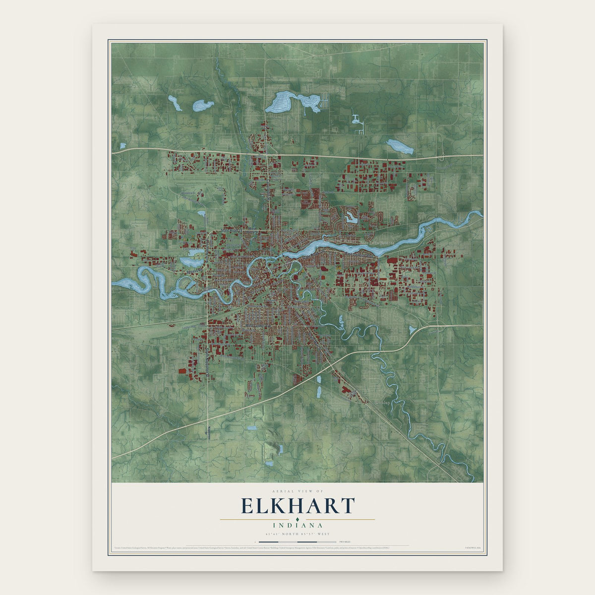
Elkhart, Indiana Map Art
Building by building, with labeled streets and shaded relief.
12" x 18" Archival Matte Print
A Map of Home. A Work of Art.
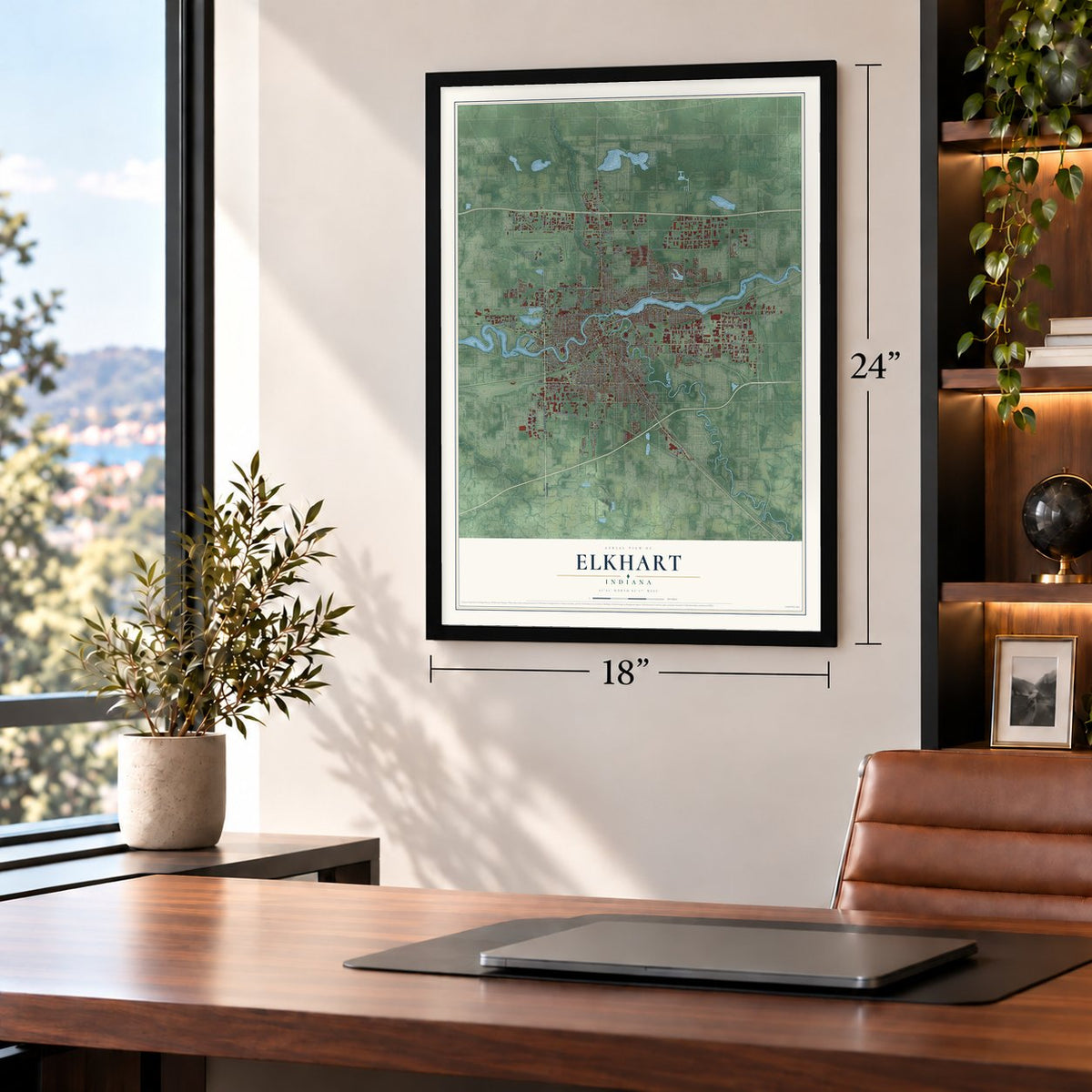
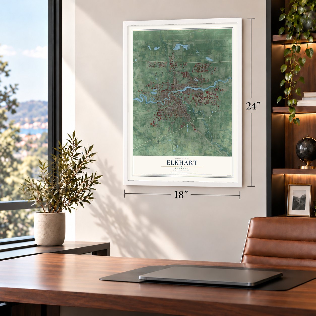
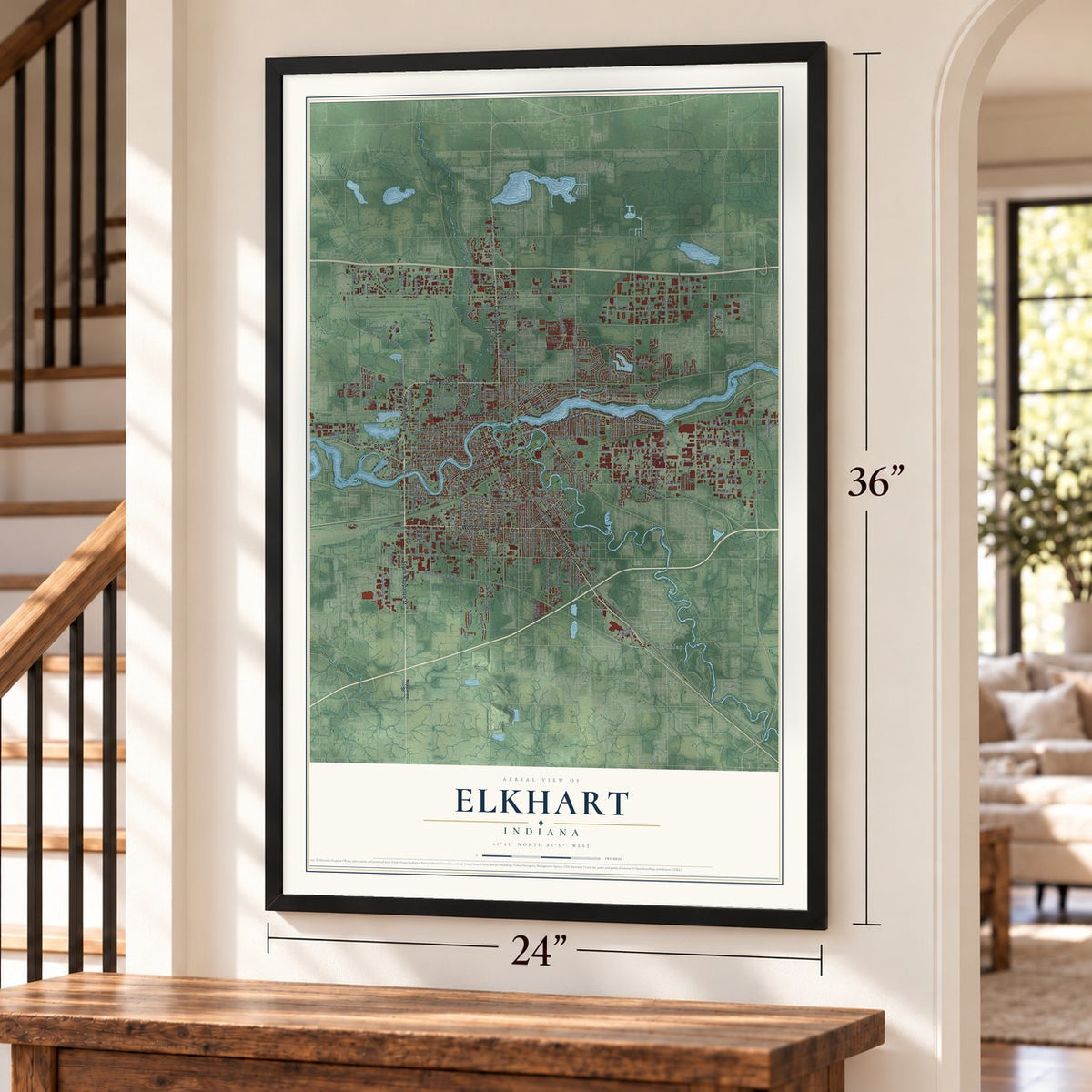
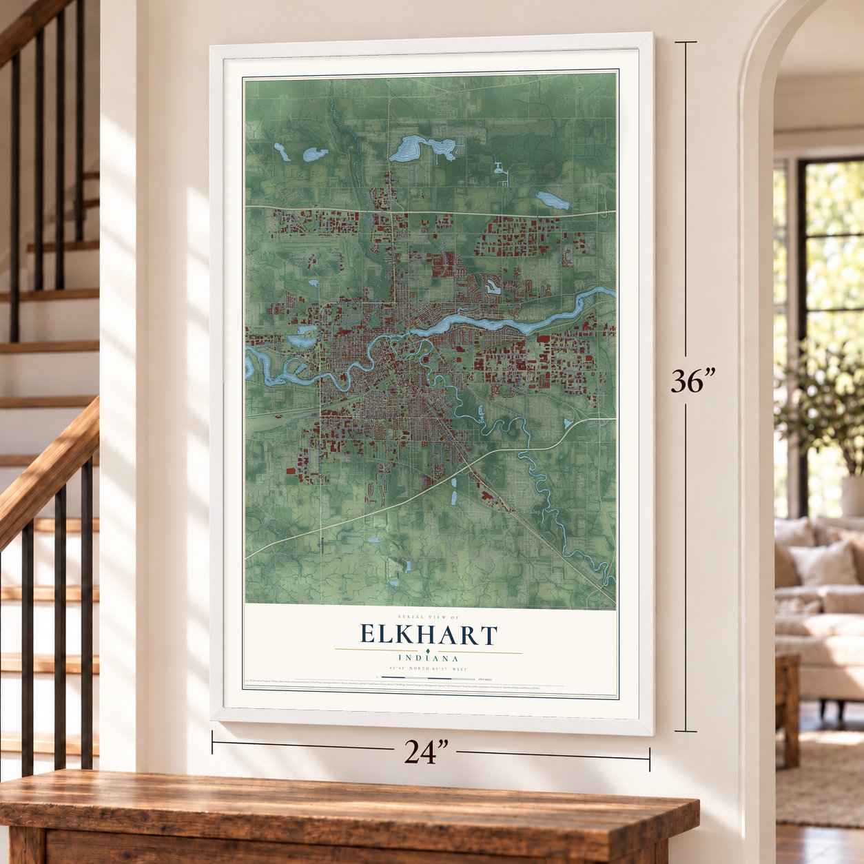
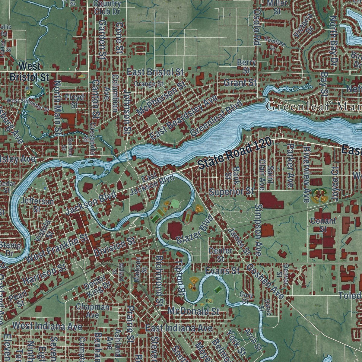
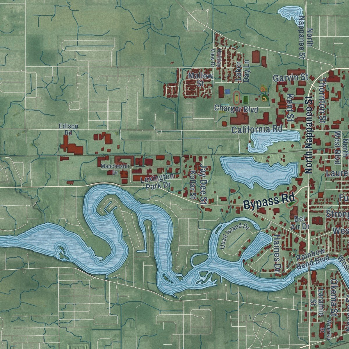
Explore Elkhart, Indiana from a whole new perspective. Created using aerial imagery and detailed geographic data, this map captures Elkhart building by building, with labeled streets, familiar landmarks, and shaded topographical relief that highlights the natural contours of the landscape.
Combining modern data with the timeless character of a vintage atlas, this map is just as interesting up close as it is beautiful on the wall. Whether you grew up in Elkhart, spent memorable years there, or call it home today, this unique map is a great way to celebrate a place that means something to you. Zoom in on the preview to look for your street, and then order a print to put your memories on the wall.

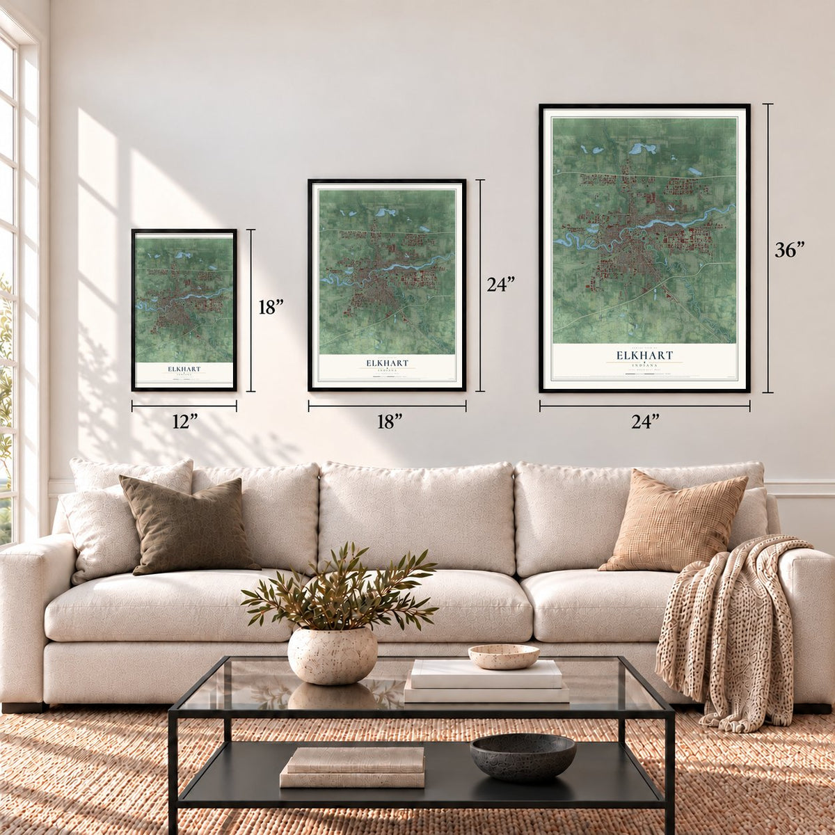
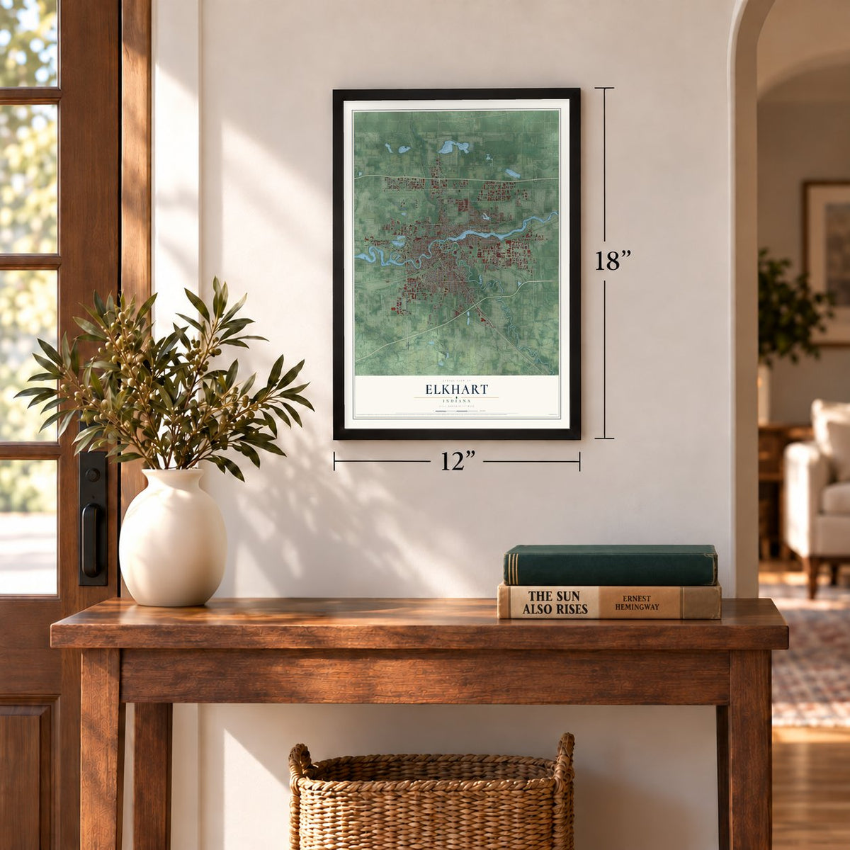
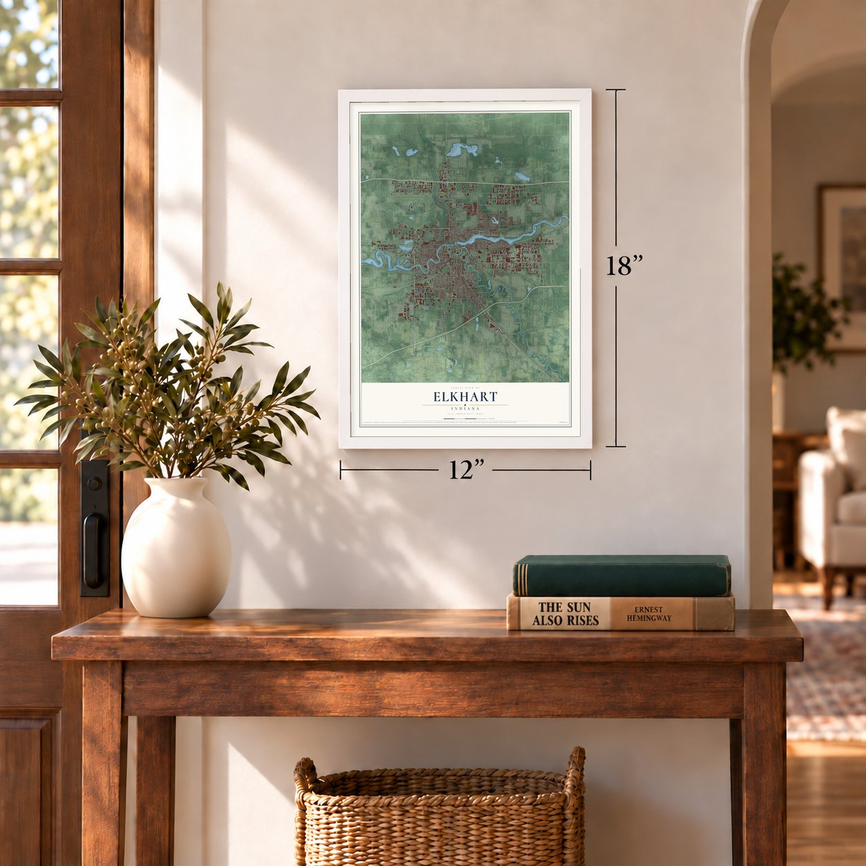
Three ways to hang it
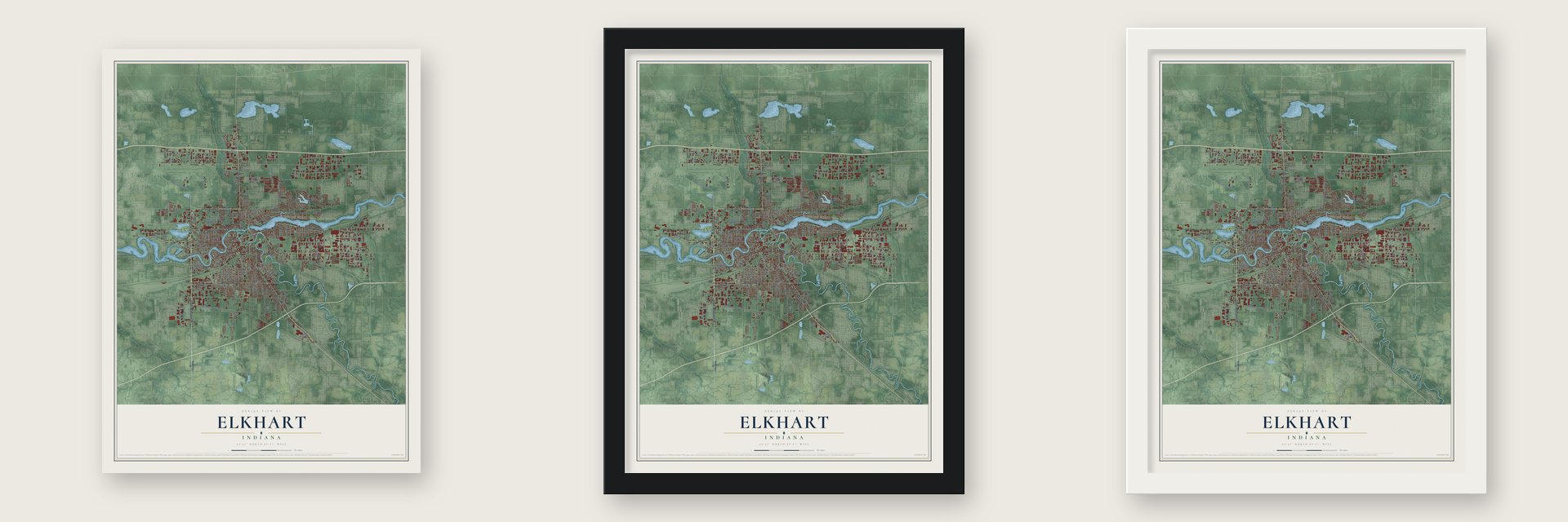
Unframed archival matte, a black wood frame or a white wood frame.
Up close
Geography Worth Displaying
This map was created using accurate cartographic data and authoritative geographic sources, including the U.S. Geological Survey and the Census Bureau. The map brings together terrain, waterways, roads, and building detail. The majority of the streets are labeled, houses are accurately depicted, and the topography is derived from government sources. Combining local data with carefully composed color and shading leads to this beautifully detailed Elkhart artwork for your wall.
Rather than simply showing street outlines, we’ve included as many of the street names as we could reasonably fit on the map while keeping their names legible. Zoom in on the high resolution preview to see exactly what’s on the map. We truly set out to create a statement piece for anyone who loves Elkhart. So whether it’s for you, or a gift for someone you love, we hope this map of Elkhart brings back fond memories.
Read the story behind this map of Elkhart, Indiana from 2026.
Find your street
Names on the Elkhart map
Every name below is printed on this map. Look for your street, your school, the park where you played, or the pond down the road.
Places and landmarks3
- East Lake Estates
- Dunlap
- Greenleaf Manor
Streets and roads267
- State Road 19
- South Nappanee Street
- West Lusher Avenue
- Bypass Road
- Cassopolis Street
- East Jackson Boulevard
- South Main Street
- State Road 120
- Goshen Avenue
- Jackson Boulevard
- West Lexington Avenue
- Benham Avenue
- West Franklin Street
- Strong Avenue
- Tipton Street
- Charlotte Avenue
- Lusher Avenue
- Reedy Drive
- 14th Street
- Beck Drive
- Oak Street
- Walnut Road
- Middlebury Street
- John Weaver Parkway
- East Bristol Street
- Prairie Street
- Johnson Street
- Wood Street
- Oakland Avenue
- West Hively Avenue
Show all 267 streets
- Greenleaf Boulevard
- West Indiana Avenue
- West Mishawaka Road
- South Sixth Street
- East Beardsley Avenue
- Industrial Parkway
- Toledo Road
- Old US Highway 20
- Tenth Street
- West Beardsley Avenue
- Fieldhouse Avenue
- East Indiana Avenue
- Superior Street
- Grant Street
- Markle Avenue
- Pleasant Plain Avenue
- Osolo Road
- Riverview Avenue
- Seventh Street
- Ninth Street
- Mishawaka Street
- North Main Street
- Cooper Drive
- Fulton Street
- Roys Avenue
- Edwardsburg Avenue
- Henke Street
- Frances Avenue
- Stevens Avenue
- Morehouse Avenue
- Laurel Street
- Streeter Lane
- Eleventh Street
- Bower Street
- Harrison Street
- Simpson Avenue
- California Road
- Garden Street
- Airport Drive
- Cone Street
- 17th Street
- Bent Oak Trail
- Leininger Avenue
- Canton Street
- Aeroplex Drive
- Middleton Run Road
- Randolph Street
- Lane Avenue
- Eighth Street
- North Bay Drive
- Belmont Avenue
- Jeanwood Drive
- Eastland Drive
- Blazer Boulevard
- Richmond Street
- McDonald Street
- McPherson Street
- Moyer Avenue
- Borg Road
- Pine Creek Road
- Okema Street
- Division Street
- Roske Drive
- Haines Drive
- Hall Avenue
- Wyland Drive
- Lillian Avenue
- Homer Avenue
- Hoffman Street
- East Boulevard
- Burr Oak Avenue
- Ada Drive
- Pleasant Street
- Penn RR
- Evans Street
- Thornton Street
- Moose Trail
- Augusta Lane
- Perkins Street
- Joyce Court
- Kent Street
- Dexter Drive
- Neff Street
- Jami Street
- Parker Avenue
- Jay Dee Street
- Green Court
- Bay Street
- Clay Street
- York Street
- Pierina Drive
- Merrill Street
- Leer Drive
- Garvin Street
- Stark Avenue
- Navajo Street
- Paul Drive
- Stryker Street
- 20th Street
- North Nappanee Street
- West Bristol Street
- Nappanee Street
- East Lusher Avenue
- South Shore Drive
- Oak Ridge Drive
- Old Farm Drive
- Kilbourn Street
- Lexington Park Drive
- Parkway Avenue
- Verdant Street
- Columbian Avenue
- Crabtree Lane
- Emerson Drive
- Marina Drive
- Compton Avenue
- James Street
- North West Boulevard
- Plum Street
- Forest Creek Drive
- Collins Road
- South West Boulevard
- Links Drive
- Saint Clair Avenue
- Rainbow Bend Boulevard
- Charger Boulevard
- Chapman Avenue
- Bullard Road
- 13th Street
- Floyd Street
- Center Street
- Executive Parkway
- Winding Waters Lane
- Country Club Drive
- Jefferson Street
- Doctor King Drive
- Hammond Avenue
- Bay Pointe Drive
- Concord Mall Drive
- Hudson Street
- All Pro Drive
- Gallatin Way
- Discovery Drive
- Southdale Drive
- Aurora Avenue
- Vistula Street
- Interchange Drive
- Bank Street
- Parkview Avenue
- Kelsey Avenue
- Chester Drive
- Benchmark Drive
- Suwanee Street
- Kollar Street
- Victoria Drive
- Love's Drive
- Laramie Street
- 18th Street
- Rowe Street
- East Lake Drive
- Thomas Street
- Eddy Street
- Hazel Street
- Cortland Drive
- Birch Drive
- Miller Street
- Conant Street
- Pearl Street
- Ashland Avenue
- Banks Court
- Kulp Avenue
- Mallow Street
- Labor Day Lane
- Bel Air Drive
- Plaza Court
- Arch Street
- Airport Parkway
- Stamp Drive
- Kinro Court
- Anna Drive
- Berry Street
- Hill Street
- Cedar Street
- Quail Island Drive
- Orange Street
- Northland Drive
- Evergreen Place
- Timberstone Drive East
- West Belvedere Road
- 19th Street
- Madison Street
- New York Avenue
- Sassafrass Street
- Frederic Drive
- Thorne Drive
- Davis Street
- Doral Lane
- Laura Court
- Gateway Drive
- Sunflower
- Pine Ridge Court
- Magnum Drive
- Edwards Street
- Denver Street
- Park Six Drive
- Freda Drive
- Mobile Drive
- Airport Road
- Edison Road
- Almac Court
- Flora Avenue
- Leer Court
- Gary Court
- East Lane
- Locust Street
- East Windsor Avenue
- East Mishawaka Road
- Waurika Street
- West Simonton Street
- Capitol Boulevard
- Oriental Avenue
- McNaughton Avenue
- Heaton Lake Road
- Arlington Road
- Thornridge Drive
- Holiday View Drive
- Pine Creek Court
- Manchester Drive
- Raintree Drive
- Columbia Drive
- North Drive
- Summa Drive
- Gordon Street
- Ottawa Drive
- Rush Court
- Willard Street
- Market Court
- Hallie Road
Names are listed as they appear on the printed map. Zoom into the product photos to find them.
About Elkhart, Indiana
Elkhart is a city of 53,923 people in Elkhart County, where the Elkhart River flows into the St. Joseph River. In 1829 a small settlement called Pulaski, with a post office, a mill and a few houses, stood on the north bank of the St. Joseph. Dr. Havilah Beardsley, who had come west from Ohio, bought a square mile of land from the Potawatomi chief Pierre Moran and set out to build a competing town named Elkhart.
Beardsley's town was laid out with 48 lots on April 30, 1832. It won the contest, and in 1839 the Pulaski post office took the name Elkhart. The first rail line came through in 1851 and the first passenger train in 1852, and the town grew quickly after that. Elkhart incorporated as a town in 1858 and became a city in 1875.
“At a period when Goshen was comparatively settled the Pottawatomies occupied their reserves where the progressive city of Elkhart now stands.”
- Named for an elk's heartA French record from 1749 called a Miami village here Coeur de cerf, meaning elk's heart, and the Miami and Potawatomi names for the place mean the same thing. Two Miami leaders said in 1824 that two women once quarreled over an elk's heart left hanging to dry. Historian Jacob Piatt Dunn tied the name instead to an island in the river said to look like an elk's heart.
- Band Instrument Capital of the WorldBy the early 20th century, musical instrument factories were a base of the local economy, and Elkhart became known as the Band Instrument Capital of the World. Most of the makers still in business are now part of Conn-Selmer.
- RV Capital by 1949Elkhart's first recreational vehicle factory opened in 1934, and other companies followed through the rest of the decade. Growth stalled when materials were rationed during World War II, then took off again after the war. By 1949 Elkhart was being called the RV Capital of the World.
- Alka-Seltzer from ElkhartFranklin Miles started the Miles Medical Co. here in 1884. In later decades it made Alka-Seltzer and Flintstones Vitamins. Bayer bought the company in 1978, and by 2006 it had moved all of its manufacturing out of the city.
- The Lerner TheatreThe downtown theater opened in 1924 and was renamed the ELCO in 1934. After owner William Miller died in 1987, the city bought the building in 1990 to save it. It reopened as The Lerner in June 2011 after an $18 million renovation and expansion.
Keep exploring Indiana
Elkhart is one of 1,023 Indiana towns we've mapped. Every dot on the map is a print of its own.
The search covers every state, Indiana first.
Near Elkhart
Order 2 or more town maps and save 10%. Shown in the size and finish you picked above, so they hang as a set.
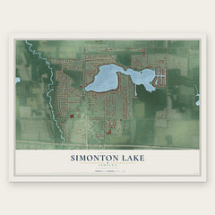
- Simonton Lake 12" x 18" / Archival Matte Print $39.99
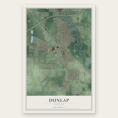
- Dunlap 12" x 18" / Archival Matte Print $39.99
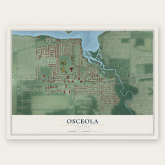
- Osceola 12" x 18" / Archival Matte Print $39.99
More maps nearby: Bristol, Granger, Mishawaka, Goshen and Wakarusa.
The art of mapping a place
How This Map Was Made
Real places. Remarkable detail. Discover the layers that turn geographic data into a map of home.

The view from above
Aerial imagery reveals the character of the land: woodland, open fields, and the patterns of a place.

The shape of the land
Elevation data brings hills, valleys, and subtle changes in the landscape into view.

The details of home
Roads, waterways, and building footprints come together to make the map feel unmistakably local.

Geography becomes art
Considered color, shading, and typography bring the layers together in a map made for your wall.


Process illustrated with Mendon, Massachusetts. Aerial imagery: USDA NAIP. Terrain: USGS 3D Elevation Program. Map details and finished artwork: KNOWOL.
The Details
About This Print
Choose an archival matte print, or a black or white Ayous wood frame. The archival matte print is unframed.
Select your size and finish above to see the matching product image and price.
Materials & Craftsmanship
A contemporary map with the character of a classic atlas, printed on archival matte paper. Optional frames are made from Ayous wood.
Your printed map does not include the watermark shown in the full-map preview.
Shipping & Delivery
Free shipping within the United States. Every print is made to order in the USA.
Buying a gift? Add a note in your cart and we'll include it. We never put prices in the package.
Prints ship within 2 to 3 business days. Allow 7 to 10 days total from ordering for delivery. Timing may vary during holidays or periods of high order volume.
Read our shipping policy.
Returns and damaged prints
Each print is made to order. Change-of-mind refunds are not available after production.
If your print arrives damaged, misprinted or incorrect, contact support@knowol.com within 30 days of receiving it. Include your order number, photos and a description of the issue.
Read our full refund and replacement policy. For questions about your order, email support@knowol.com.