
Search for another town





Free U.S. delivery 7 to 10 days after you order
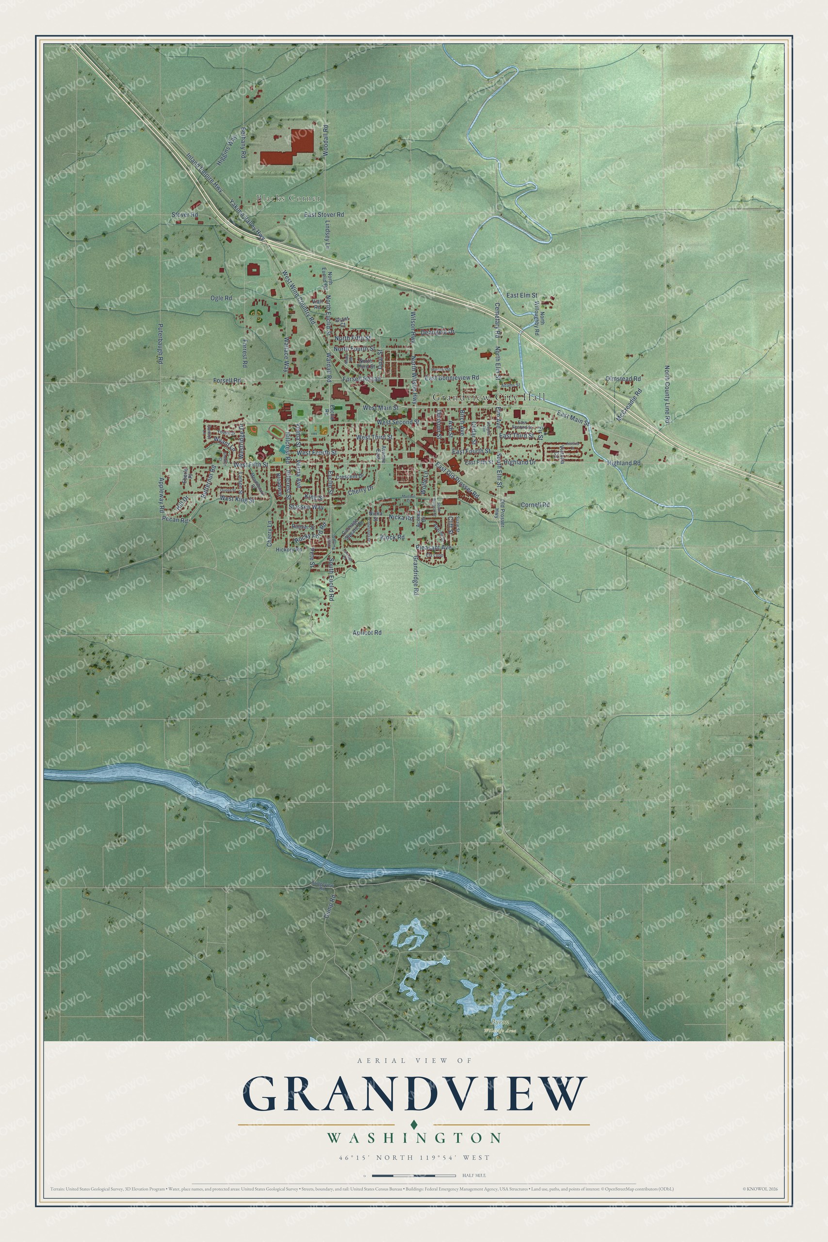
Grandview, Washington Map Art
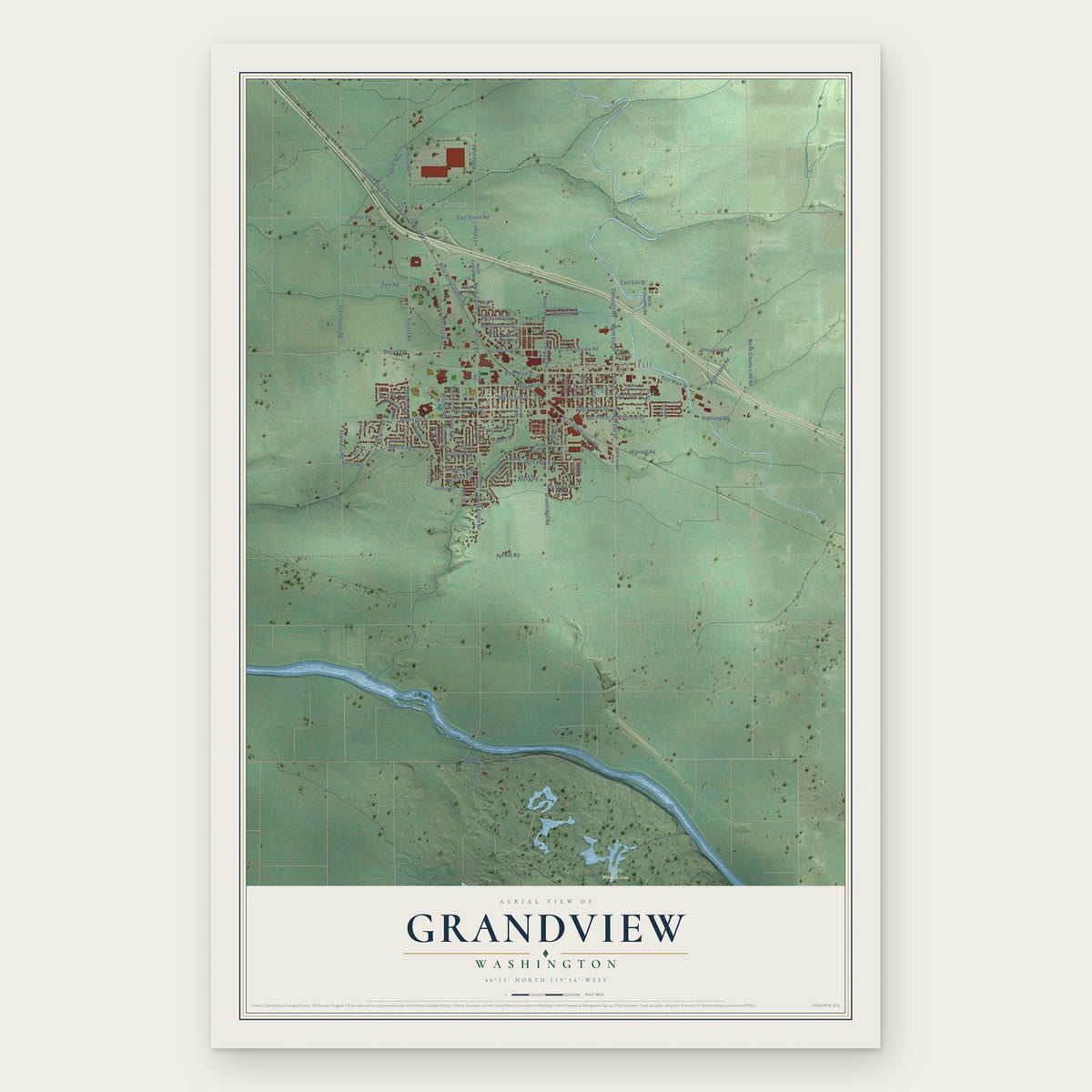
A new map of Grandview, Washington, made in 2026 and printed to order on thick archival matte paper.
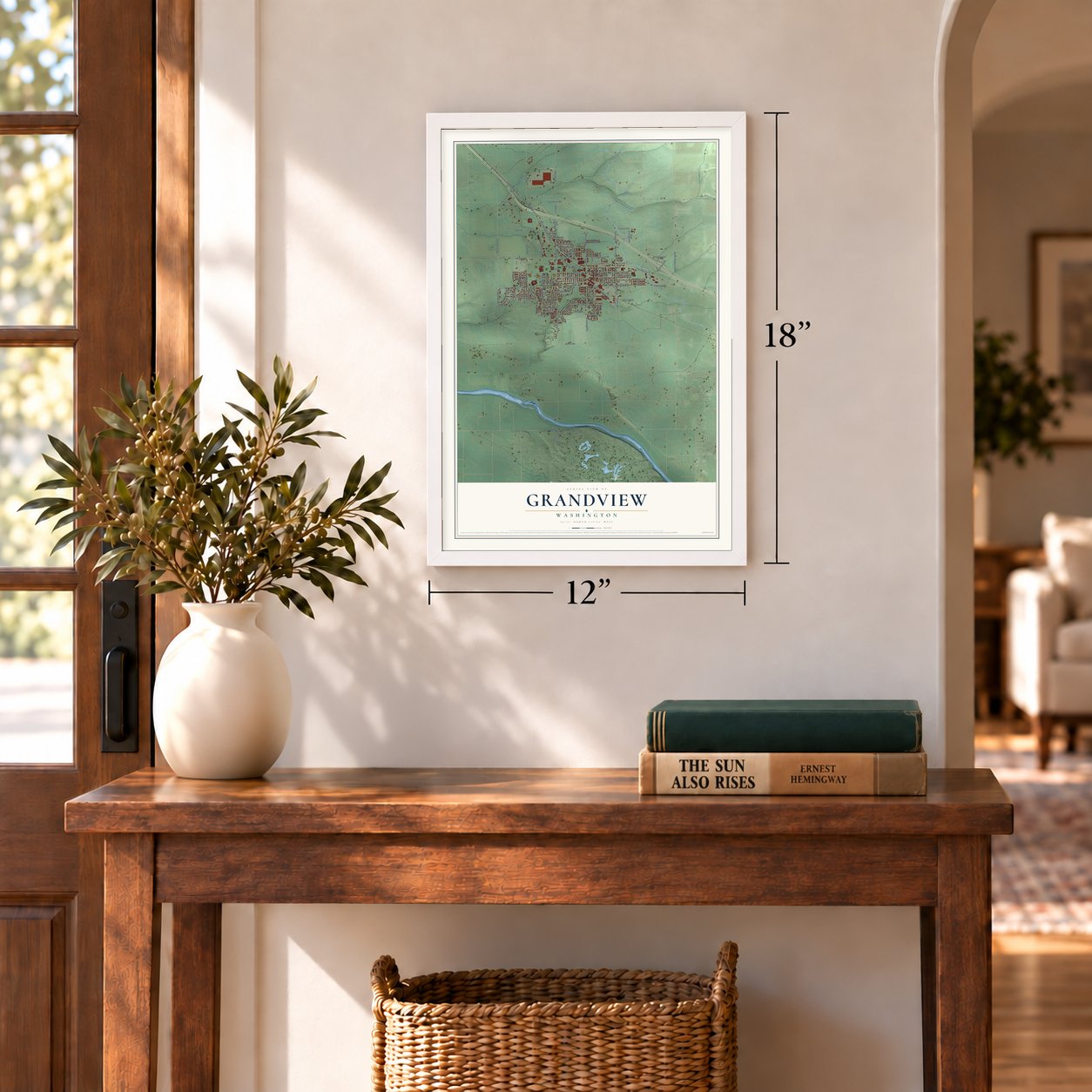
12" x 18" Archival Matte Print
A Map of Home. A Work of Art.
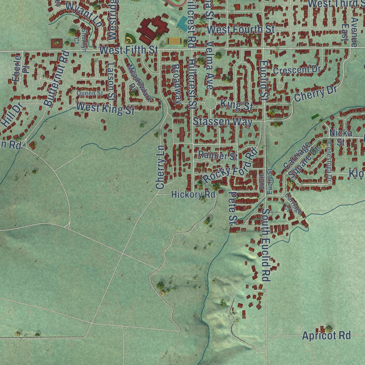
Explore Grandview, Washington from a whole new perspective. Created using aerial imagery and detailed geographic data, this map captures Grandview building by building, with labeled streets, familiar landmarks, and shaded topographical relief that highlights the natural contours of the landscape.
Combining modern data with the timeless character of a vintage atlas, this map is just as interesting up close as it is beautiful on the wall. Whether you grew up in Grandview, spent memorable years there, or call it home today, this unique map is a great way to celebrate a place that means something to you. Zoom in on the preview to look for your street, and then order a print to put your memories on the wall.
Three ways to hang it
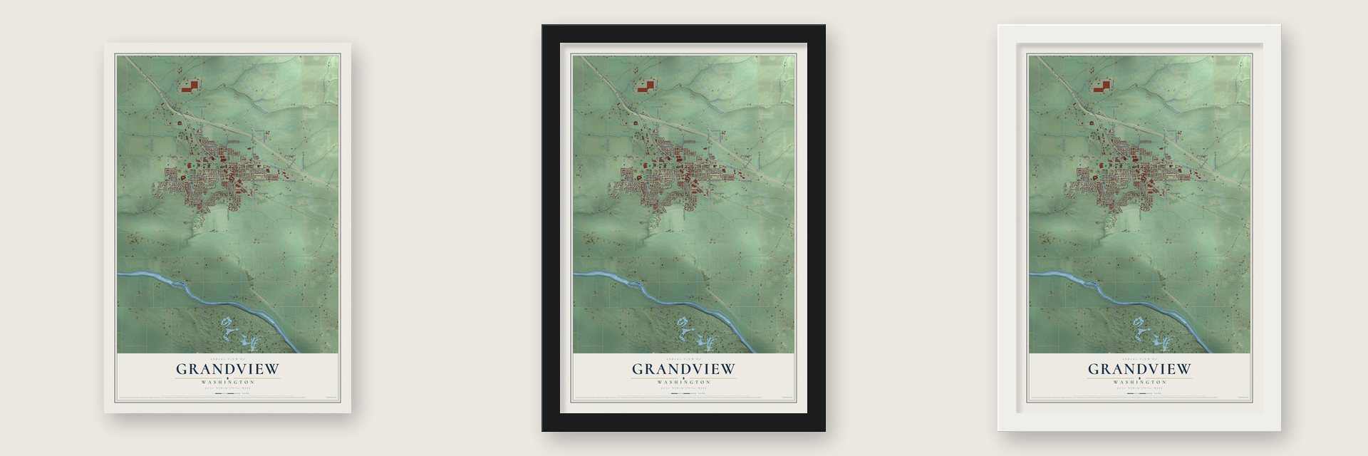
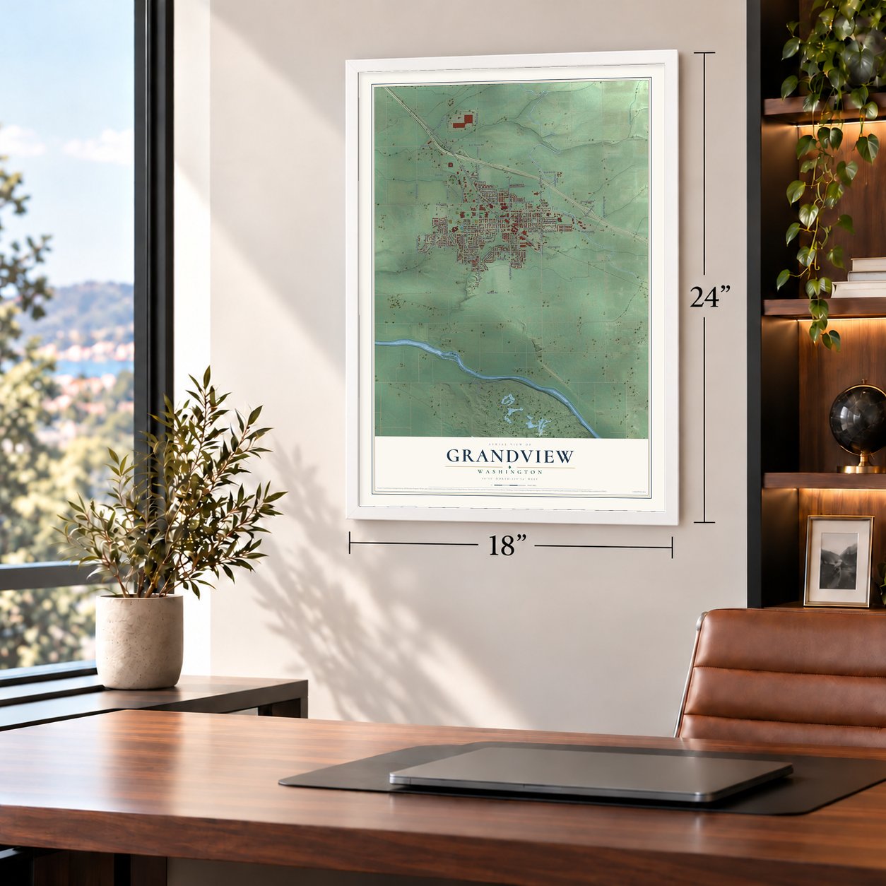
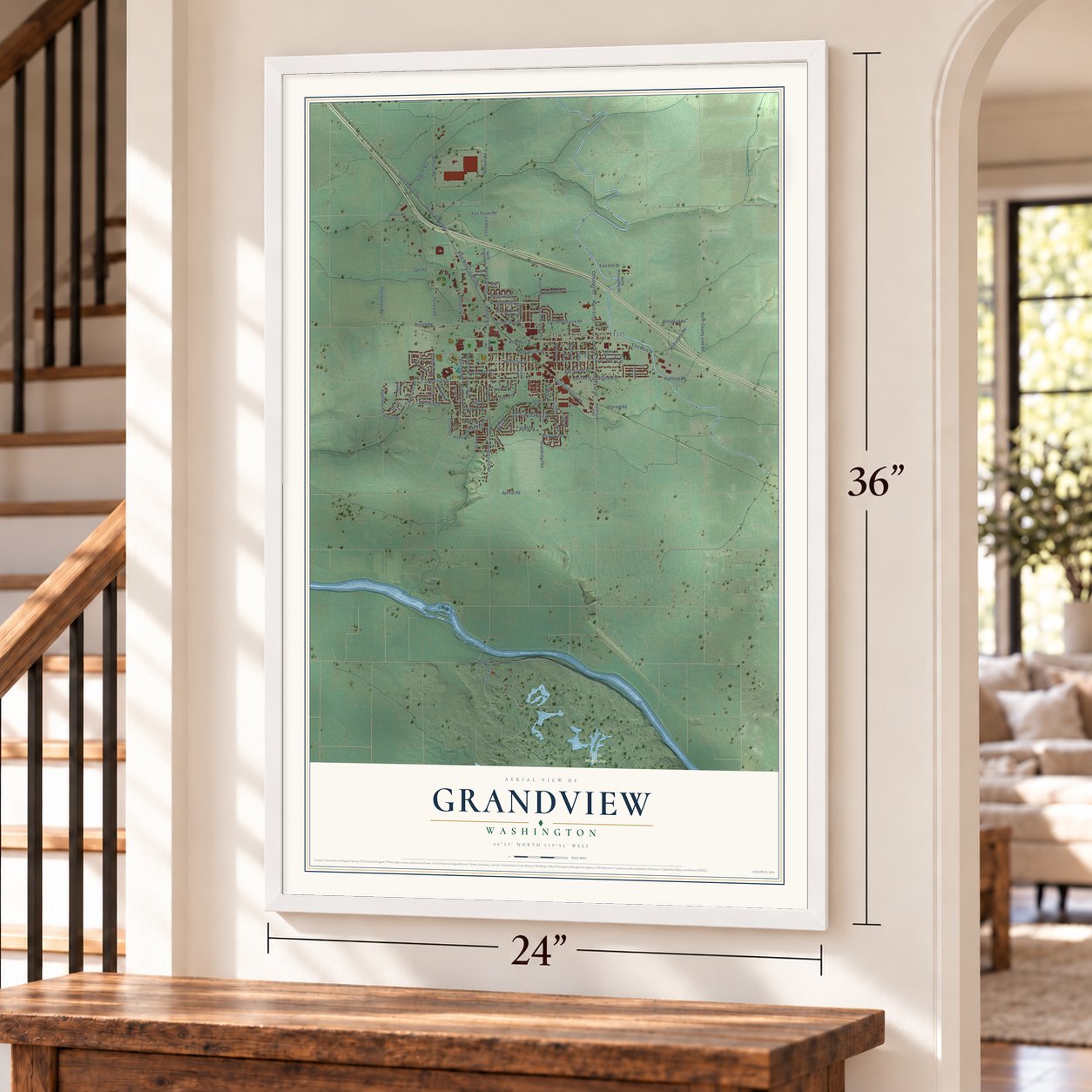
Unframed archival matte, a black wood frame or a white wood frame.
Up close
Geography Worth Displaying
This map was created using accurate cartographic data and authoritative geographic sources, including the U.S. Geological Survey and the Census Bureau. The map brings together terrain, waterways, roads, and building detail. The majority of the streets are labeled, houses are accurately depicted, and the topography is derived from government sources. Combining local data with carefully composed color and shading leads to this beautifully detailed Grandview artwork for your wall.
Rather than simply showing street outlines, we’ve included as many of the street names as we could reasonably fit on the map while keeping their names legible. Zoom in on the high resolution preview to see exactly what’s on the map. We truly set out to create a statement piece for anyone who loves Grandview. So whether it’s for you, or a gift for someone you love, we hope this map of Grandview brings back fond memories.
Read the story behind this map of Grandview, Washington from 2026.

About Grandview, Washington
Grandview is a city of 10,907 people in Yakima County, in Washington's Yakima Valley. Colonel H. D. Cock, a veteran of the Indian wars who became Yakima's first marshal, was living near the future town site by the mid-1860s. Decades later two small farm settlements grew up, one near today's Bethany Road and one near Euclid Street, and in 1893 the Sunnyside Canal brought water to the Euclid families, who had been hauling it from the Yakima River.
In 1905 the Northern Pacific picked the site as the end of its Sunnyside branch. Men from the railway and the Granger Land Company who came to look it over admired the view on a clear day, with Mt. Rainier, Mt. Adams and nearby Snipes Mountain in sight, and that view gave the town its name. The company platted lots in 1906 and sold them for $100 to $400, and the two settlements joined to form the town. By May, Mrs. A. E. Sykes had put up the first building on Division Street, living in the back, renting rooms upstairs and running the post office in front.
“I do not mean to be uncharitable concerning the country across the line, but having seen both localities it is mystifying to me why a good American citizen will swear allegiance to the English government to take up a homestead in Canada when he can make a better living on a ten-acre tract in the Yakima valley and enjoy some of the comforts of life as he goes through the seasons”
- The first train in 1911The Oregon-Washington Railroad & Navigation Company began laying track and building a depot in the middle of Grandview in 1907, on a line running from Walla Walla to Yakima. The first train came through on March 22, 1911. The railroad tied the valley's small towns together, and by 1919 historian William Denison Lyman described the stretch from Parker Bottom to Grandview as almost one long village of stations and houses.
- Voted in, and voted dryResidents voted 37 to three on September 18, 1909, to incorporate, and John Monroe became the first mayor. Earlier, while Grandview was still only a townsite, some residents had petitioned for a saloon. When the question of selling alcohol went to the voters in 1910, it lost 50 to 12, and the town's 1927 history said the petitioners were amazed.
- Jackrabbits to richesWhen the federal Yakima Project began, businessmen laid out the Grandview Orchard Tracts, about 1,000 acres watered by gravity. Before the land was fully planted, settlers fought a war on jack rabbits, killing them by the thousands with poison, traps, guns and clubs. By 1921 the editor of the Grandview Herald was telling a jackrabbits-to-riches story: $20 million in crops from an estimated $1.25 million spent on the project.
- The Herald since 1909The Grandview Herald, a weekly, printed its first issue on March 4, 1909, and it was still publishing online in 2013. In 1919 Lyman singled it out as a "bright, active, well-conducted" paper. The Grandview Herald Building joined the National Register in 1987.
- Growth in wartimeA 1944 census counted 1,863 people, enough to make Grandview a third-class city instead of the fourth-class town it began as. Part of the growth came from families forced out of Hanford and White Bluffs, in Benton County, when the government built the Hanford Engineering Works for the atomic bomb. The town formed a housing authority that year, and by 1950 it had 2,497 people.
Find your street
Names on the Grandview map
Every name below is printed on this map. Look for your street, your school, the park where you played, or the pond down the road.
Places and landmarks3
- Grandview City Hall
- Blacks Corner
- Byron Wildlife Area
Streets and roads115
- Inland Empire Highway
- West Fifth Street
- East Old Prosser Road
- Highland Road
- Division Street
- South Elm Street
- Elm Avenue
- Forsell Roaad
- West Wine Country Road
- West Main Street
- North Wilson Highway
- North Elm Street
- East Bonnieview Road
- Cemetary Road
- Euclid Street
- Birch Avenue
- North County Line Road
- South Euclid Road
- Cherry Drive
- Olmstead Road
- Pecan Road
- Wardall Road
- Yakima Valley Highway
- West Second Street
- Puterbaugh Road
- Grandridge Road
- Forsell Road
- East Main Street
- Bethany Road
- Stover Road
Show all 115 streets
- North Euclid Street
- West Fourth Street
- Hillcrest Road
- East Stover Road
- West Third Street
- Stassen Way
- Wallace Way
- Forrest Road
- Woodall Road
- East Third Street
- East Fourth Street
- Hillcrest Street
- Ogle Road
- North Fourth Street
- Cherry Lane
- Velma Avenue
- Velma Street
- Nicka Road
- Rocky Ford Road
- Apricot Road
- Butternut Road
- Dump Road
- McCreadie Road
- Wilson Highway
- Higgins Way
- King Street
- Cornell Road
- Appleway Road
- Westridge Drive
- North Fifth Street
- Hill Drive
- Klock Road
- West King Street
- Wyant Lane
- Ash Street
- Cedar Street
- Opal Street
- Pleasant Avenue
- Deangela Drive
- Fir Street
- Highland Drive
- East Elm Street
- Lindsey Lane
- Wolfe Lane
- Pete Street
- Cliff Street
- East Fifth Street
- Victoria Circle
- Carriage Square Drive
- Euclid Road
- Old Prosser Highway
- North Euclid Road
- Hickory Road
- Rainier Street
- Nicka Street
- Crescent Drive
- Avenue East
- North Willoughby Road
- Broadway
- North Third Street
- Acoma Drive
- Larson Street
- Viall Road
- Grant Court
- Eberle Place
- Suzie Street
- East Second Street
- Adams Street
- Meadowlark Drive
- Young Street
- Apache Drive
- Ela Loop
- Bridgeview Road
- Sunset Lane
- South Division Street
- South Euclid Street
- Conestoga Drive
- Douglas Avenue
- Queen Street
- Harrison Street
- Jessica Court
- Munson Court
- Nealy Road
- Sherilyn Court
- Carriage Court
Names are listed as they appear on the printed map. Zoom into the product photos to find them.
The art of mapping a place
How This Map Was Made
Real places. Remarkable detail. Discover the layers that turn geographic data into a map of home.

The view from above
Aerial imagery reveals the character of the land: woodland, open fields, and the patterns of a place.

The shape of the land
Elevation data brings hills, valleys, and subtle changes in the landscape into view.

The details of home
Roads, waterways, and building footprints come together to make the map feel unmistakably local.

Geography becomes art
Considered color, shading, and typography bring the layers together in a map made for your wall.


Process illustrated with Mendon, Massachusetts. Aerial imagery: USDA NAIP. Terrain: USGS 3D Elevation Program. Map details and finished artwork: KNOWOL.
The Details
About This Print
Choose an archival matte print, or a black or white Ayous wood frame. The archival matte print is unframed.
Select your size and finish above to see the matching product image and price.
Materials & Craftsmanship
A contemporary map with the character of a classic atlas, printed on archival matte paper. Optional frames are made from Ayous wood.
Your printed map does not include the watermark shown in the full-map preview.
Shipping & Delivery
Free shipping within the United States. Every print is made to order in the USA.
Buying a gift? Add a note in your cart and we'll include it. We never put prices in the package.
Prints ship within 2 to 3 business days. Allow 7 to 10 days total from ordering for delivery. Timing may vary during holidays or periods of high order volume.
Read our shipping policy.
Returns and damaged prints
Each print is made to order. Change-of-mind refunds are not available after production.
If your print arrives damaged, misprinted or incorrect, contact support@knowol.com within 30 days of receiving it. Include your order number, photos and a description of the issue.
Read our full refund and replacement policy. For questions about your order, email support@knowol.com.
Find your town
Looking for another city?
Find a map of home in our Washington collection, or any town in the country.
Nearby
Maps of towns near Grandview
Know someone from one of these towns? Their map makes a great gift.
 Mabton
, Washington
From $39.99See the map
 Sunnyside
, Washington
From $39.99See the map
 Prosser
, Washington
From $39.99See the map
More maps nearby: Outlook, Granger, Benton City, Zillah and Toppenish.