
Search for another town




Free U.S. delivery 7 to 10 days after you order
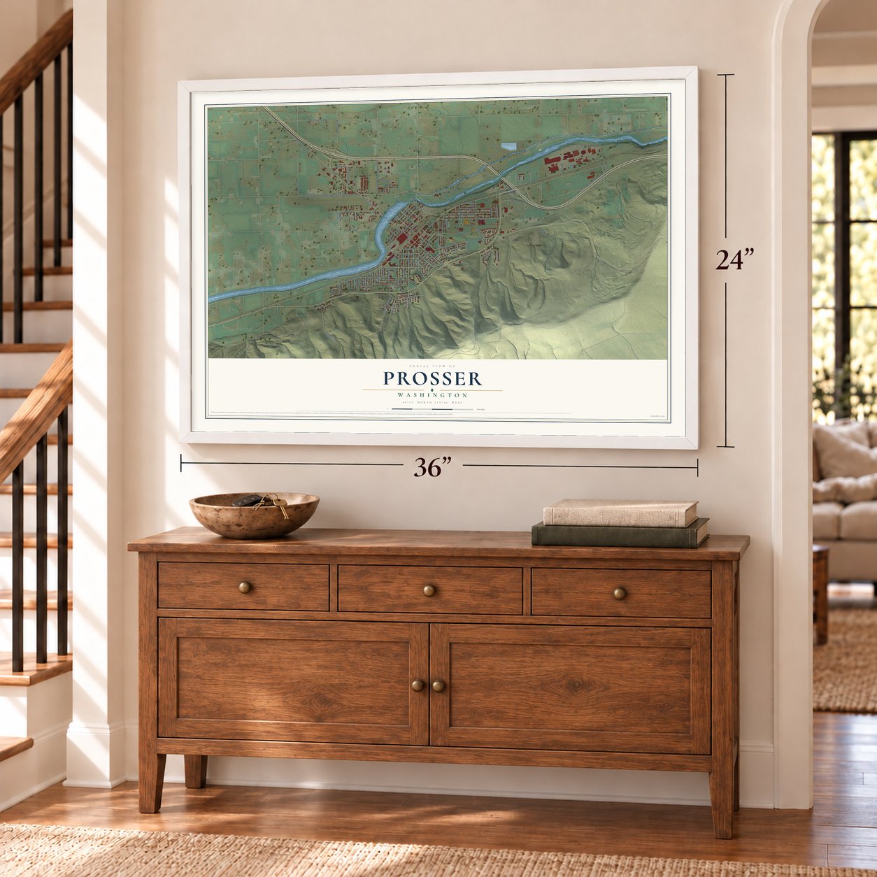
Prosser, Washington Map Art
A new map of Prosser, Washington, made in 2026 and printed to order on thick archival matte paper.
12" x 18" Archival Matte Print
A Map of Home. A Work of Art.
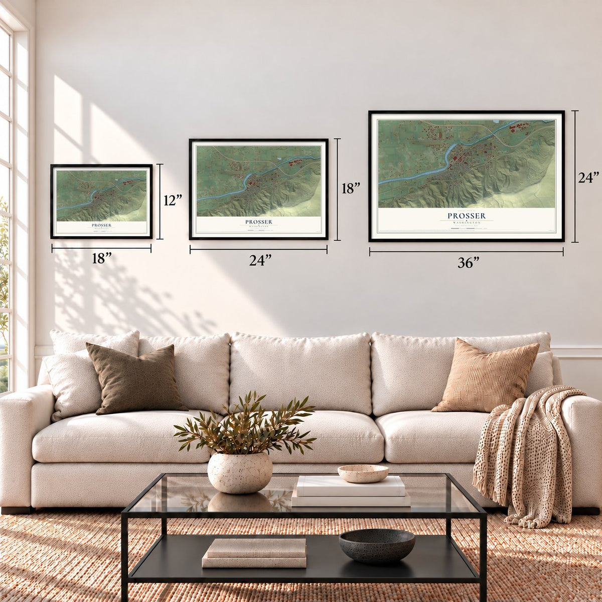
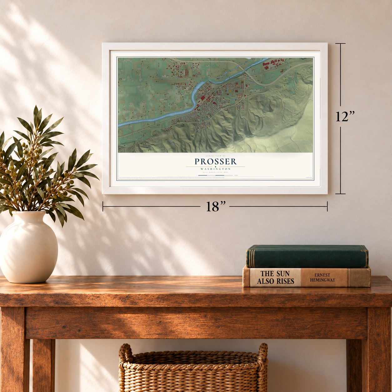
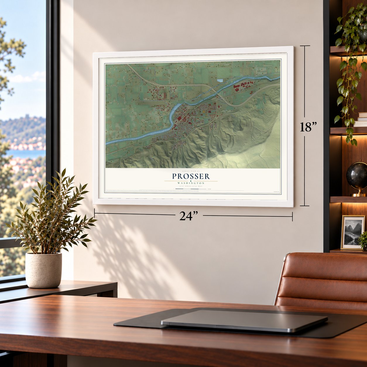
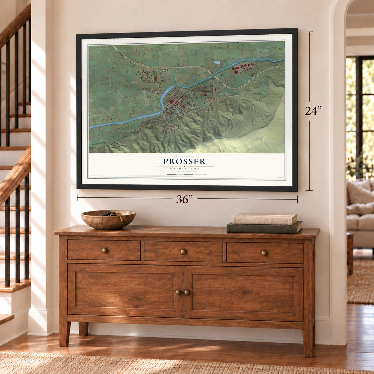
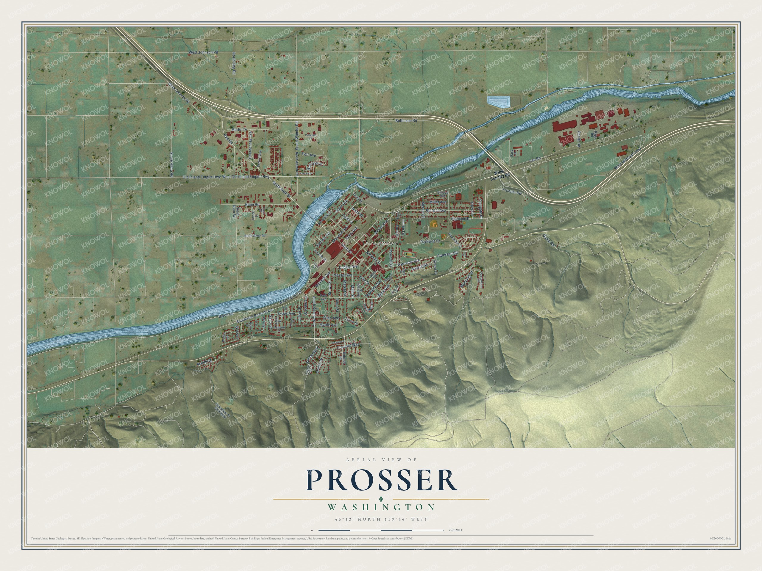
Explore Prosser, Washington from a whole new perspective. Created using aerial imagery and detailed geographic data, this map captures Prosser building by building, with labeled streets, familiar landmarks, and shaded topographical relief that highlights the natural contours of the landscape.
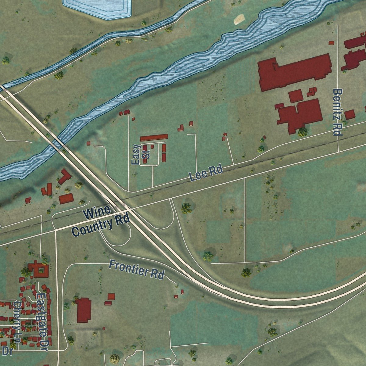
Combining modern data with the timeless character of a vintage atlas, this map is just as interesting up close as it is beautiful on the wall. Whether you grew up in Prosser, spent memorable years there, or call it home today, this unique map is a great way to celebrate a place that means something to you. Zoom in on the preview to look for your street, and then order a print to put your memories on the wall.
Three ways to hang it
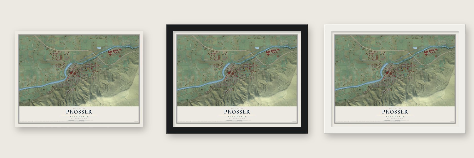
Unframed archival matte, a black wood frame or a white wood frame.
Up close
Geography Worth Displaying
This map was created using accurate cartographic data and authoritative geographic sources, including the U.S. Geological Survey and the Census Bureau. The map brings together terrain, waterways, roads, and building detail. The majority of the streets are labeled, houses are accurately depicted, and the topography is derived from government sources. Combining local data with carefully composed color and shading leads to this beautifully detailed Prosser artwork for your wall.
Rather than simply showing street outlines, we’ve included as many of the street names as we could reasonably fit on the map while keeping their names legible. Zoom in on the high resolution preview to see exactly what’s on the map. We truly set out to create a statement piece for anyone who loves Prosser. So whether it’s for you, or a gift for someone you love, we hope this map of Prosser brings back fond memories.
Read the story behind this map of Prosser, Washington from 2026.

About Prosser, Washington
Prosser is a city of 6,062 people on the Yakima River and the county seat of Benton County. Native people lived and fished along the river here and called the place "Tup tat," meaning rapids. Colonel William F. Prosser, a Pennsylvania teacher and surveyor who had earned his rank in the Civil War, surveyed the land in 1879 and took up a homestead in 1882. When the Northern Pacific built through in 1884, settlers followed, because now they could ship their crops and livestock to market.
Prosser filed the town plat in 1885, but a year later he won election as Yakima County auditor, moved to North Yakima and never came back. In 1887 Lewis Hinzerling and his partners put up a mill at Prosser Falls to grind flour, and in 1893 a land and irrigation company brought water to about 2,000 acres. Prosser was incorporated in 1899 with 229 people, and in 1905, when the state made Benton County out of parts of Yakima and Klickitat counties, the young city became its seat.
“It looked like anything could grow in this rich volcanic soil as long as there was enough water: asparagus, egg plant, sugar beets, strawberries, goose berries, beans, corn, and hay all grew very well.”
- The county seat vote of 1912On November 5, 1912, Benton County voters decided whether to move the seat from Prosser to Kennewick or Benton City, after a bitter war of words among the three towns. Kennewick won a majority, but the law demanded 60 percent, so the seat stayed in Prosser. The permanent Benton County Courthouse was finished in 1926 and joined the National Register in 1976.
- Home of the Rainier cherryTalk of a college farm station in the Yakima Valley began in 1911. Washington State College picked Prosser in 1917, and surveyors came to lay it out in January 1918. A year later, in 1919, the station began its work on irrigated crops. Its scientists later developed the Chinook and Rainier cherries, and Walter Clore, the researcher who worked to bring wine grapes to the state, is remembered as the father of Washington wine.
- State's Day since 1922In 1922 the Prosser Commercial Club planned a party where every guest signed in under the state they were born in. That idea grew into the State's Day celebration, which the town still holds over Labor Day weekend.
- Fruit pits for gas masksDuring World War I, Prosser's Red Cross unit sewed 3,000 garments for soldiers overseas, and residents saved peach and cherry pits to make filters for gas masks. In World War II, high school boys picked crops in 1942 while businesses closed to help, and in 1943 DuPont leased the Prosser Motel and the Strand Hotel to house workers building the Hanford site.
Find your street
Names on the Prosser map
Every name below is printed on this map. Look for your street, your school, the park where you played, or the pond down the road.
Places and landmarks1
- Downtown
Streets and roads108
- Wine Country Road
- Paterson Avenue
- Fifth Street
- Paterson Road
- Highland Drive
- Stacy Avenue
- Gap Road
- Fourth Street
- Kinney Way
- Bennett Avenue
- Southwest Bennett Avenue
- Old Inland Empire Highway
- West Old Inland Empire Highway
- Lee Road
- North Gap Road
- Dump Road
- Concord Way
- Byron Road
- West Byron Road
- Merlot Drive
- Sixth Street
- South Albro Road
- South Kinney Way
- Bettinson Road
- Sheridan Avenue
- South Wamba Road
- Market Street
- Seventh Street
- Parkside Drive
- Prosser Avenue
Show all 108 streets
- Nunn Road
- Benson Avenue
- West Johnson Road
- Meade Avenue
- Frontier Road
- Brown Street
- Court Street
- Port Avenue
- Dudley Avenue
- Grant Avenue
- Evans Avenue
- West Wittkopf Loop
- Miller Avenue
- Sunset Drive
- Ellen Avenue
- Myrtle Avenue
- Benitz Road
- Ninth Street
- North Sixth Street
- Chardonnay Avenue
- Main Street
- Budd Avenue
- Scenic Drive
- Lillian Street
- Mustang Court
- Ford Street
- Eastgate Drive
- Mercer Court
- Spokane Avenue
- Florence Street
- Elm Street
- Sadie Street
- Larch Street
- Malibu Drive
- Luther Lane
- Memorial Street
- Canyon Drive
- Easy Street
- North Wamba Road
- Alexander Court
- Kelandren Pr Southwest
- North River Road
- Park Avenue
- Eighth Street
- Colena Street
- Riverside Drive
- Guernsey Street
- New Gate Drive
- Sherman Avenue
- Campbell Drive
- Walker Place
- Anna Street
- Forrest Avenue
- Rohman Drive
- Sunset Street
- Cherry Lane
- Emick Street
- Elwood Avenue
- South Nunn Road
- Tenth Street
- Gum Street
- Casi Court
- Rapp Road
- Yakima Avenue
- Lincoln Road
- Quarterhorse Trail
- Playfield Avenue
- Hillcrest Drive
- Cabernet Court
- Fir Street
- Claire Street
- Brock Court
- Third Street
- Margaret Street
- Alice Street
- Burgandy Place
- Cascade Court
- Annie Place
Names are listed as they appear on the printed map. Zoom into the product photos to find them.
The art of mapping a place
How This Map Was Made
Real places. Remarkable detail. Discover the layers that turn geographic data into a map of home.

The view from above
Aerial imagery reveals the character of the land: woodland, open fields, and the patterns of a place.

The shape of the land
Elevation data brings hills, valleys, and subtle changes in the landscape into view.

The details of home
Roads, waterways, and building footprints come together to make the map feel unmistakably local.

Geography becomes art
Considered color, shading, and typography bring the layers together in a map made for your wall.


Process illustrated with Mendon, Massachusetts. Aerial imagery: USDA NAIP. Terrain: USGS 3D Elevation Program. Map details and finished artwork: KNOWOL.
The Details
About This Print
Choose an archival matte print, or a black or white Ayous wood frame. The archival matte print is unframed.
Select your size and finish above to see the matching product image and price.
Materials & Craftsmanship
A contemporary map with the character of a classic atlas, printed on archival matte paper. Optional frames are made from Ayous wood.
Your printed map does not include the watermark shown in the full-map preview.
Shipping & Delivery
Free shipping within the United States. Every print is made to order in the USA.
Buying a gift? Add a note in your cart and we'll include it. We never put prices in the package.
Prints ship within 2 to 3 business days. Allow 7 to 10 days total from ordering for delivery. Timing may vary during holidays or periods of high order volume.
Read our shipping policy.
Returns and damaged prints
Each print is made to order. Change-of-mind refunds are not available after production.
If your print arrives damaged, misprinted or incorrect, contact support@knowol.com within 30 days of receiving it. Include your order number, photos and a description of the issue.
Read our full refund and replacement policy. For questions about your order, email support@knowol.com.
Find your town
Looking for another city?
Find a map of home in our Washington collection, or any town in the country.
Nearby
Maps of towns near Prosser
Know someone from one of these towns? Their map makes a great gift.
 Grandview
, Washington
From $39.99See the map
 Mabton
, Washington
From $39.99See the map
 Sunnyside
, Washington
From $39.99See the map
More maps nearby: Benton City, Outlook, West Richland, Granger and Richland.