
Search for another town


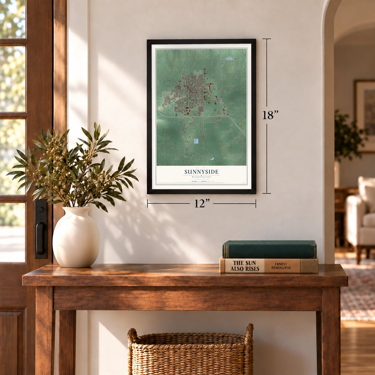
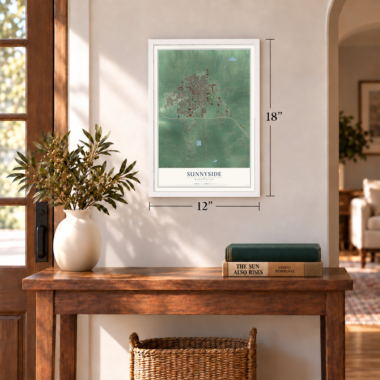

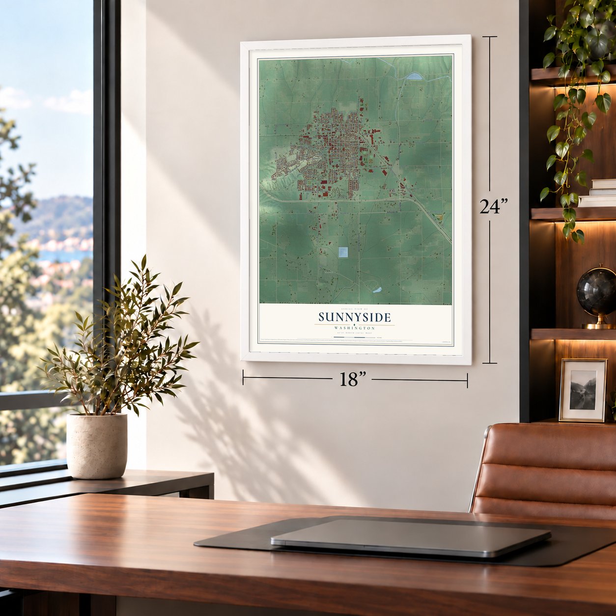

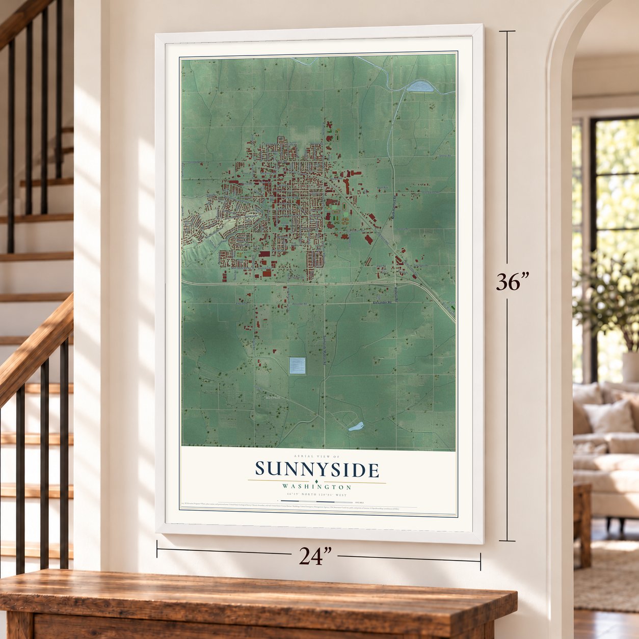
Free U.S. delivery 7 to 10 days after you order
Sunnyside, Washington Map Art
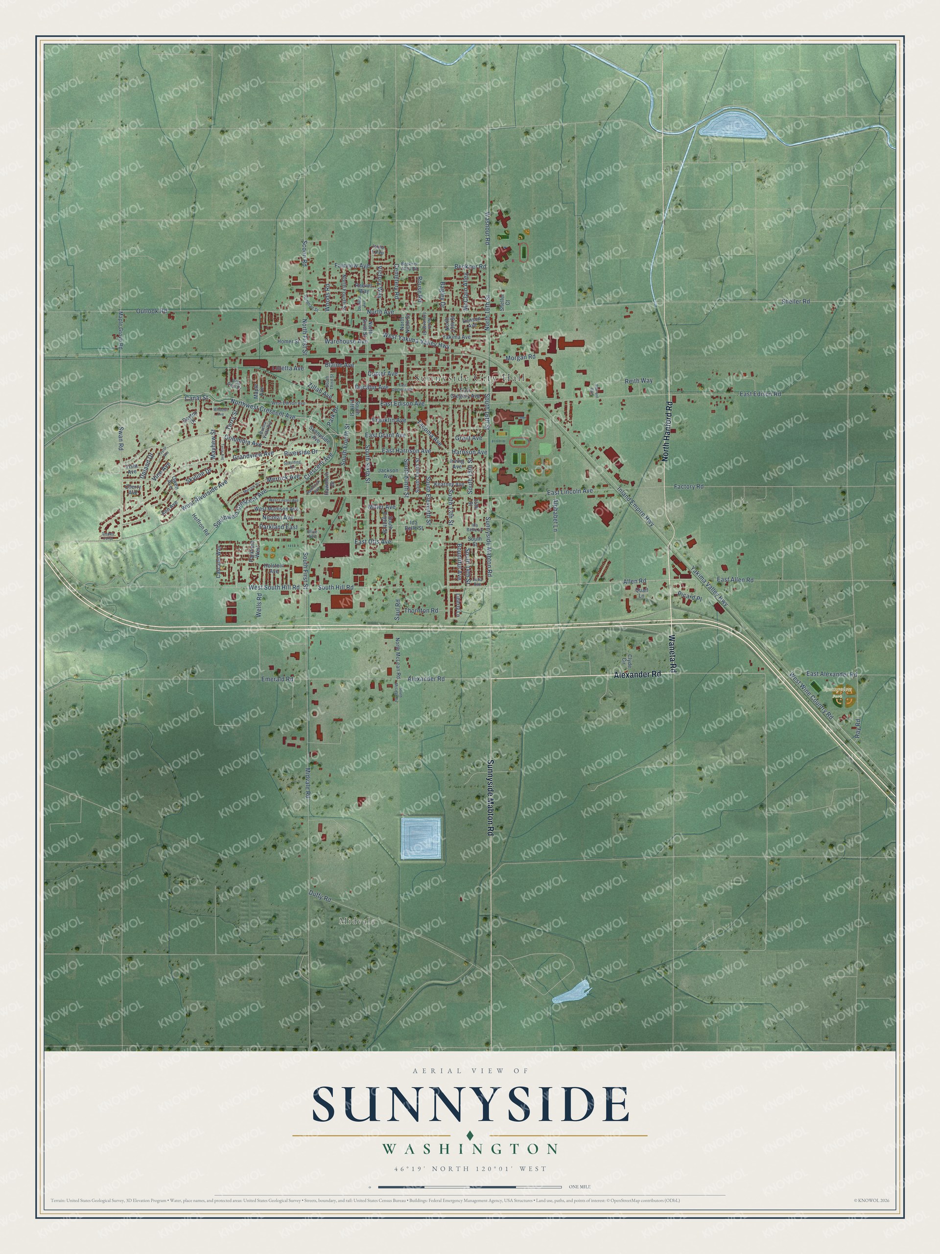
A new map of Sunnyside, Washington, made in 2026 and printed to order on thick archival matte paper.
12" x 18" Archival Matte Print
A Map of Home. A Work of Art.
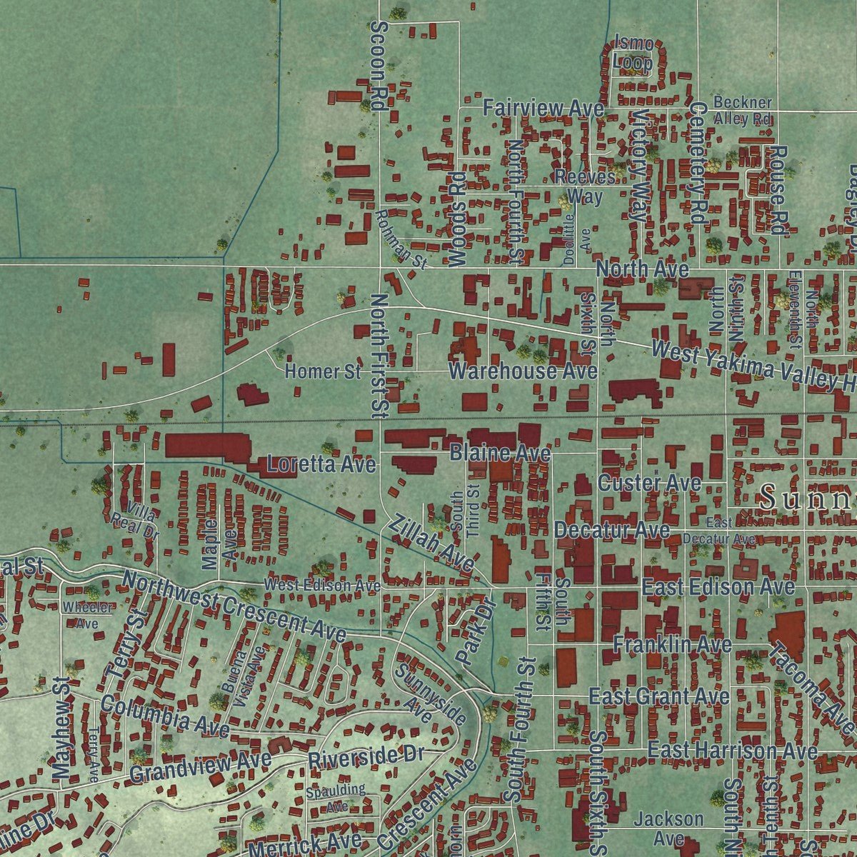
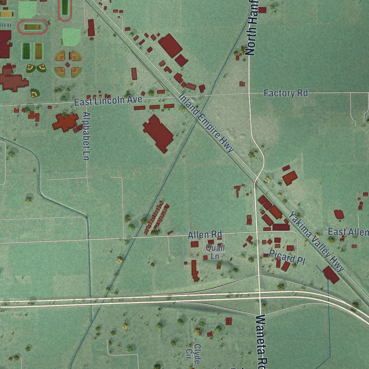
Explore Sunnyside, Washington from a whole new perspective. Created using aerial imagery and detailed geographic data, this map captures Sunnyside building by building, with labeled streets, familiar landmarks, and shaded topographical relief that highlights the natural contours of the landscape.
Combining modern data with the timeless character of a vintage atlas, this map is just as interesting up close as it is beautiful on the wall. Whether you grew up in Sunnyside, spent memorable years there, or call it home today, this unique map is a great way to celebrate a place that means something to you. Zoom in on the preview to look for your street, and then order a print to put your memories on the wall.
Three ways to hang it
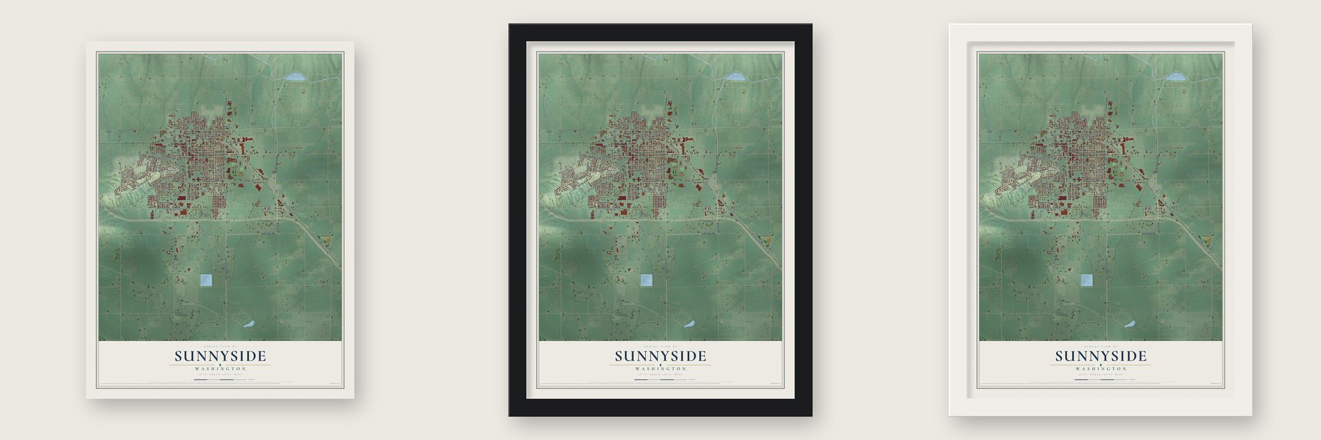
Unframed archival matte, a black wood frame or a white wood frame.
Up close
Geography Worth Displaying
This map was created using accurate cartographic data and authoritative geographic sources, including the U.S. Geological Survey and the Census Bureau. The map brings together terrain, waterways, roads, and building detail. The majority of the streets are labeled, houses are accurately depicted, and the topography is derived from government sources. Combining local data with carefully composed color and shading leads to this beautifully detailed Sunnyside artwork for your wall.
Rather than simply showing street outlines, we’ve included as many of the street names as we could reasonably fit on the map while keeping their names legible. Zoom in on the high resolution preview to see exactly what’s on the map. We truly set out to create a statement piece for anyone who loves Sunnyside. So whether it’s for you, or a gift for someone you love, we hope this map of Sunnyside brings back fond memories.
Read the story behind this map of Sunnyside, Washington from 2026.

About Sunnyside, Washington
Sunnyside is a city of 16,375 people in Yakima County, Washington. Walter Granger, a water engineer for the Northern Pacific Railroad, first came to this dry shrub-steppe in 1889. He planned a canal to carry Yakima River water across the land, and his company surveyed and platted the town in 1893. Paul Schulze wanted to name it Mayhew, but merchant William Cline objected, so the name Sunnyside won. Cline's store opened on January 2, 1894, and it was the town's first building.
The Panic of 1893 put the canal in the hands of creditors, and the whole townsite was later foreclosed. Around the turn of the century, members of the Progressive Brethren Church, sometimes called Dunkards, came to found the Christian Cooperative Colony, and they bought the townsite. The town grew under their rule. On September 2, 1902, residents voted 42 to 1 to incorporate a town of 314 people, and they elected druggist James Henderson as mayor.
“In order to control the moral influences of the community we decided that it would be necessary to purchase the townsite of Sunnyside”
- The dry Holy CityThe colony made clean living a condition of owning land. Drinking, gambling or prostitution could cost an owner his property, and even weeds on a lot could get someone sent away. People called Sunnyside the Holy City. When Washington's prohibition law took effect on December 31, 1915, nothing changed here. Beer was not sold legally in town until July 1934.
- The first train, 1906When the Northern Pacific line reached Sunnyside in 1906, the town threw a big barbecue, and 3,000 people turned out. The first train was heavier than any tested on the line, and it sank into the mud nearly half a mile short of the station. Crews strengthened the tracks, and daily trips to North Yakima soon began.
- Paved streets in 1917Years of irrigation had raised the water table until the town's dirt streets turned to mud. In late 1916 Billy Cloud said he would pave them if he were mayor. He won the job the next year and finished the paving in 1917 for $62,629.45.
- The Lighted Farm Implement ParadeSince 1989, combines, sprayers, grape pickers and tractors covered in colored lights have rolled through town, most years in early December. It was the first parade of its kind in the Yakima Valley, and the A&E network once ranked it among the top 10 such parades in the country.
Find your street
Names on the Sunnyside map
Every name below is printed on this map. Look for your street, your school, the park where you played, or the pond down the road.
Places and landmarks3
- Sunnyside City Hall
- Midvale
- Sunnyview Park
Streets and roads145
- Waneta Road
- Alexander Road
- North Hanford Road
- Sunnyside Mabton Road
- Swan Road
- Allen Road
- Northwest Crescent Avenue
- Mayhew Street
- Crescent Avenue
- Grandview Avenue
- Canal Street
- Southwest Crescent Avenue
- West Yakima Valley Highway
- South 13th Street
- North Avenue
- South 14th Street
- Beckner Road
- Tacoma Avenue
- East Lincoln Avenue
- South Hill Road
- South 16th Street
- North First Street
- Scoon Road
- Yakima Valley Highway
- Inland Empire Highway
- Sheller Road
- Midvale Road
- East Edison Road
- East Edison Avenue
- South First Street
Show all 145 streets
- South Sixth Street
- Outlook Road
- South Fourth Street
- South Eleventh Street
- Duffy Road
- Columbia Avenue
- North 16th Street
- South Ninth Street
- East Harrison Avenue
- Harrison Avenue
- West Riverside Avenue
- Saul Road
- South 15th Street
- East Grant Avenue
- Grant Avenue
- Blaine Avenue
- East Allen Road
- Upland Drive
- Decatur Avenue
- Franklin Avenue
- West Wine Country Road
- Factory Road
- Merrick Avenue
- Riverside Drive
- Woods Road
- East Alexander Road
- Fairview Avenue
- Washout Road
- Ray Road
- Morgan Road
- Warehouse Avenue
- Skyline Drive
- Terry Street
- Nicolai Avenue
- Parkland East
- West South Hill Road
- Reith Way
- Cemetery Road
- Vine Avenue
- Wells Road
- Emerald Road
- Victory Way
- Thornton Road
- Alphabet Lane
- McClain Alley
- Rouse Road
- East Otis Avenue
- Loretta Avenue
- Bountiful Avenue
- Zillah Avenue
- Custer Avenue
- Park Drive
- Bagley Drive
- Picard Place
- Miller Avenue
- South Eighth Street
- Jackson Avenue
- North Sixth Street
- South Fifth Street
- West Madison Avenue
- Sunnyside Avenue
- South Tenth Street
- Yakima Avenue
- Parkland West
- Irving Avenue
- Ida Belle Street
- Dayton Drive
- Ismo Loop
- North Fourth Street
- Cascade Way
- North McLean Road
- Maple Grove Road
- Kearney Avenue
- Heffron Road
- Hawthorn Drive
- North Ninth Street
- South Street
- East Gregory Avenue
- Homer Street
- Reeves Way
- North 13th Street
- Ann Avenue
- Denson Avenue
- Quail Lane
- Liberty Lane
- Holstein Avenue
- Vista Avenue
- Clyde Circle
- Maple Avenue
- Cherry Avenue
- Sheller Court
- 15th Street
- Owen Avenue
- Beckner Alley Road
- West Edison Avenue
- Villa Real Drive
- Buena Vista Avenue
- South Third Street
- North Eleventh Street
- Hemlock Avenue
- Rohman Street
- Ida Belle Lane
- Julia Avenue
- Olive Avenue
- East Decatur Avenue
- Merrick Street
- Terry Avenue
- Taylor Avenue
- West Lincoln Avenue
- South McLean Road
- Doolittle Avenue
- Spaulding Avenue
- Barnard Boulevard
- Wheeler Avenue
- Snipes Canal
Names are listed as they appear on the printed map. Zoom into the product photos to find them.
The art of mapping a place
How This Map Was Made
Real places. Remarkable detail. Discover the layers that turn geographic data into a map of home.

The view from above
Aerial imagery reveals the character of the land: woodland, open fields, and the patterns of a place.

The shape of the land
Elevation data brings hills, valleys, and subtle changes in the landscape into view.

The details of home
Roads, waterways, and building footprints come together to make the map feel unmistakably local.

Geography becomes art
Considered color, shading, and typography bring the layers together in a map made for your wall.


Process illustrated with Mendon, Massachusetts. Aerial imagery: USDA NAIP. Terrain: USGS 3D Elevation Program. Map details and finished artwork: KNOWOL.
The Details
About This Print
Choose an archival matte print, or a black or white Ayous wood frame. The archival matte print is unframed.
Select your size and finish above to see the matching product image and price.
Materials & Craftsmanship
A contemporary map with the character of a classic atlas, printed on archival matte paper. Optional frames are made from Ayous wood.
Your printed map does not include the watermark shown in the full-map preview.
Shipping & Delivery
Free shipping within the United States. Every print is made to order in the USA.
Buying a gift? Add a note in your cart and we'll include it. We never put prices in the package.
Prints ship within 2 to 3 business days. Allow 7 to 10 days total from ordering for delivery. Timing may vary during holidays or periods of high order volume.
Read our shipping policy.
Returns and damaged prints
Each print is made to order. Change-of-mind refunds are not available after production.
If your print arrives damaged, misprinted or incorrect, contact support@knowol.com within 30 days of receiving it. Include your order number, photos and a description of the issue.
Read our full refund and replacement policy. For questions about your order, email support@knowol.com.
Find your town
Looking for another city?
Find a map of home in our Washington collection, or any town in the country.
Nearby
Maps of towns near Sunnyside
Know someone from one of these towns? Their map makes a great gift.
 Outlook
, Washington
From $39.99See the map
 Grandview
, Washington
From $39.99See the map
 Mabton
, Washington
From $39.99See the map
More maps nearby: Granger, Prosser, Zillah, Toppenish and Buena.