
Search for another town

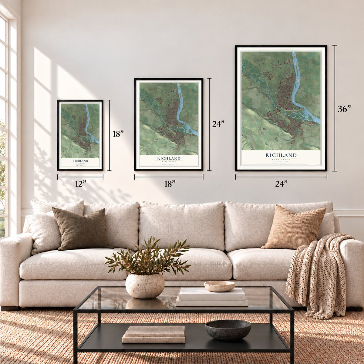

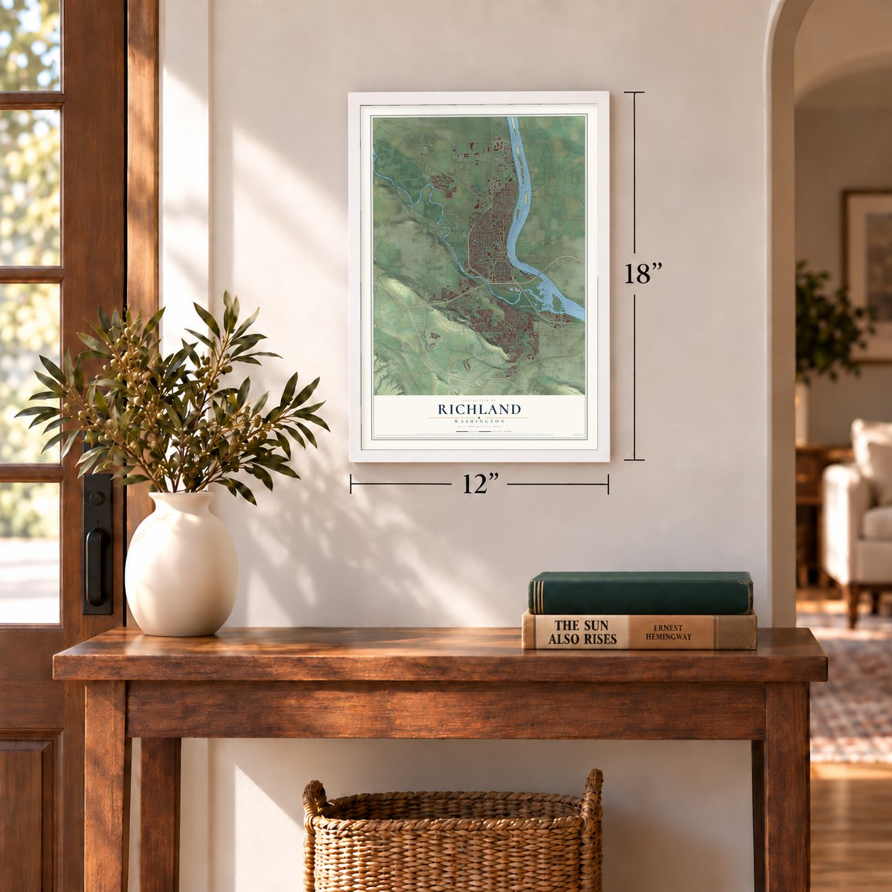
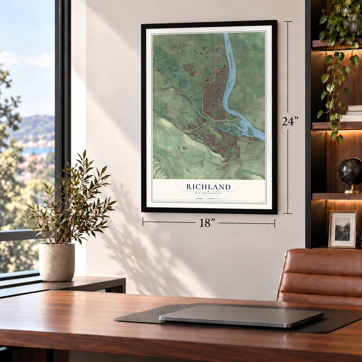
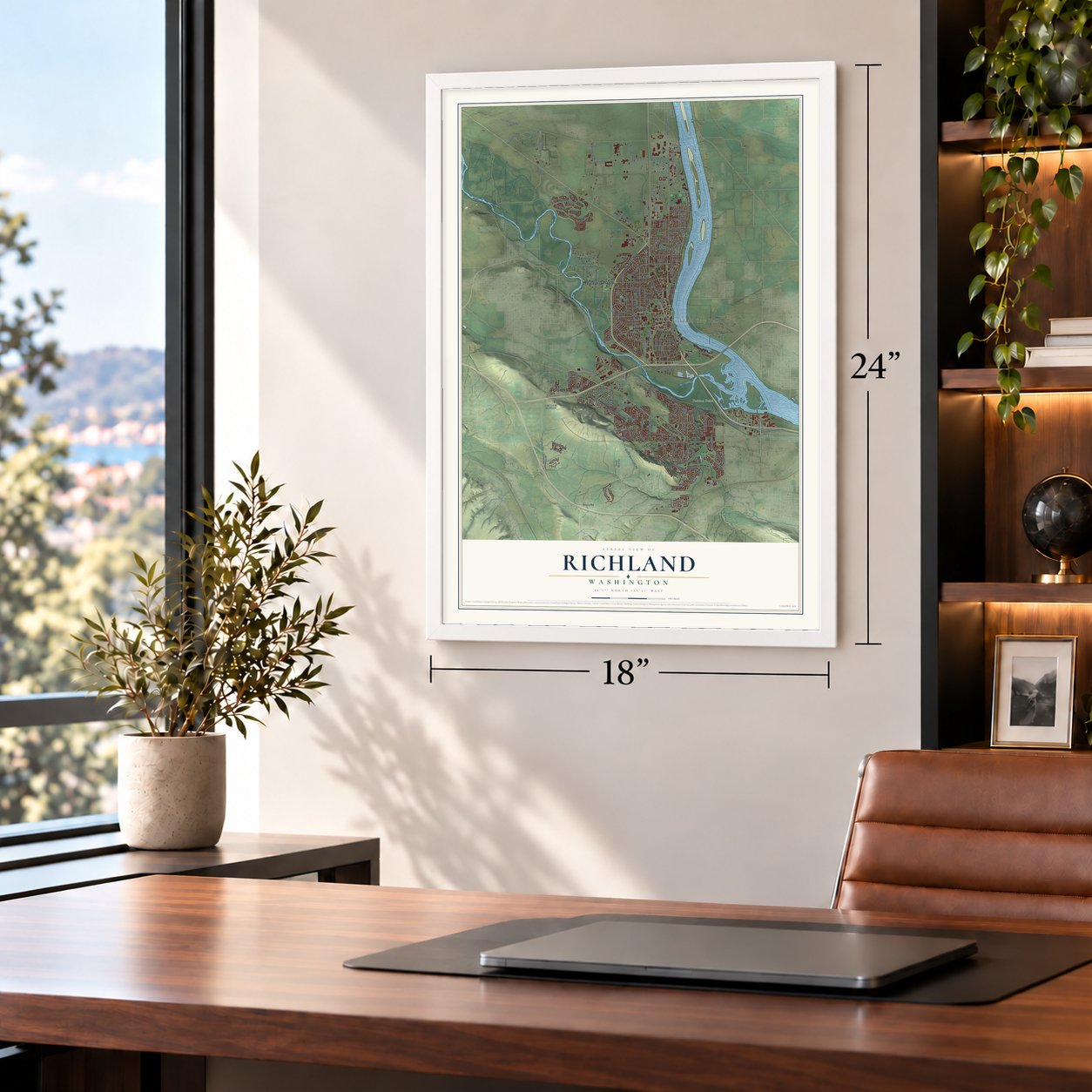


Free U.S. delivery 7 to 10 days after you order
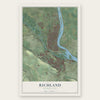
Richland, Washington Map Art
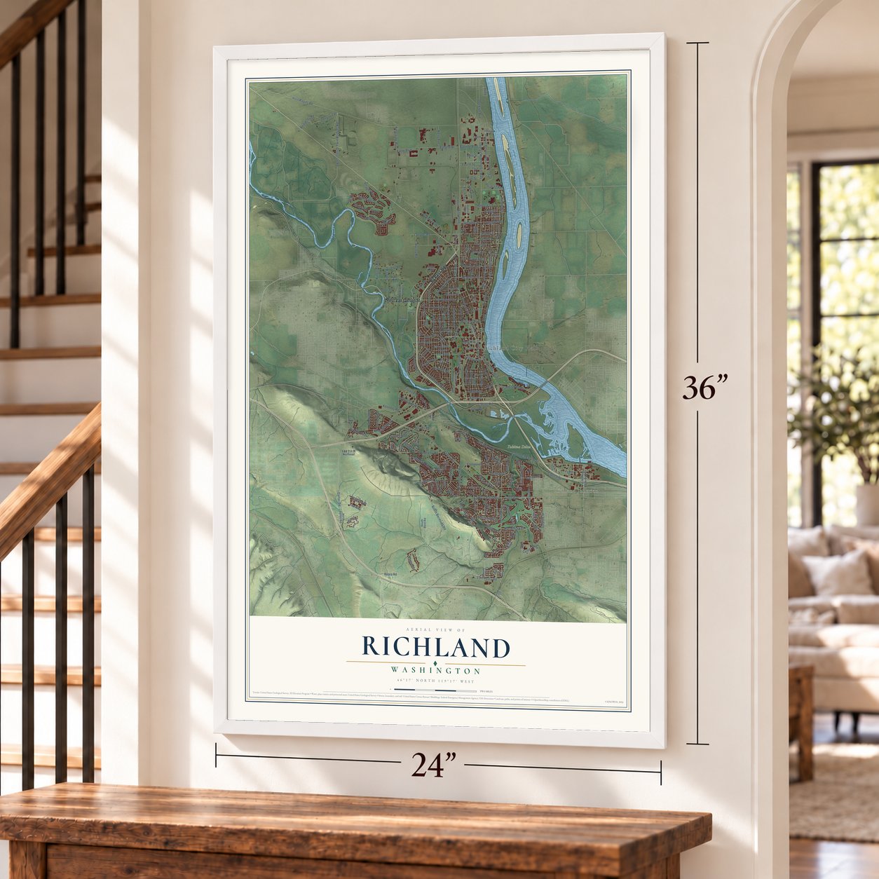
A new map of Richland, Washington, made in 2026 and printed to order on thick archival matte paper.
12" x 18" Archival Matte Print
A Map of Home. A Work of Art.
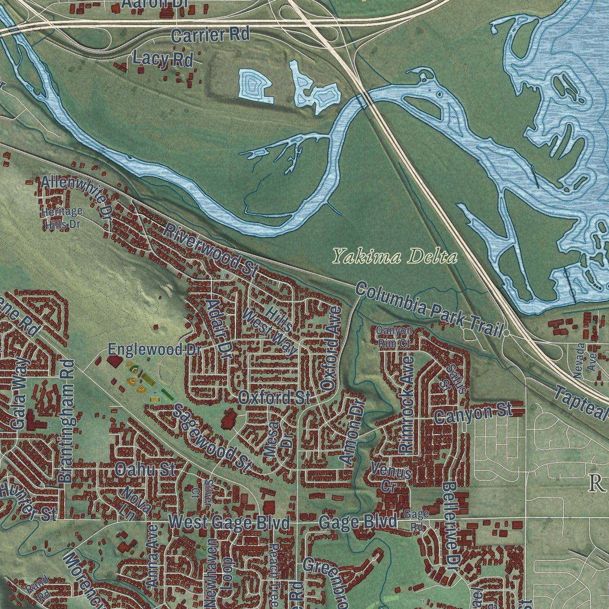
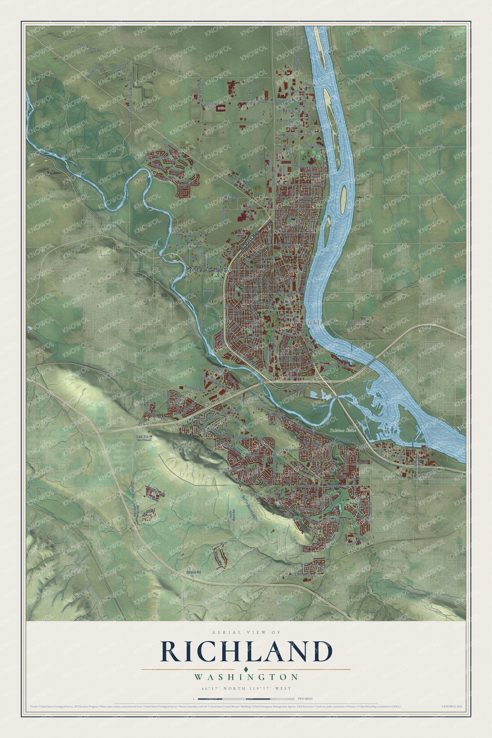
Explore Richland, Washington from a whole new perspective. Created using aerial imagery and detailed geographic data, this map captures Richland building by building, with labeled streets, familiar landmarks, and shaded topographical relief that highlights the natural contours of the landscape.
Combining modern data with the timeless character of a vintage atlas, this map is just as interesting up close as it is beautiful on the wall. Whether you grew up in Richland, spent memorable years there, or call it home today, this unique map is a great way to celebrate a place that means something to you. Zoom in on the preview to look for your street, and then order a print to put your memories on the wall.
Three ways to hang it
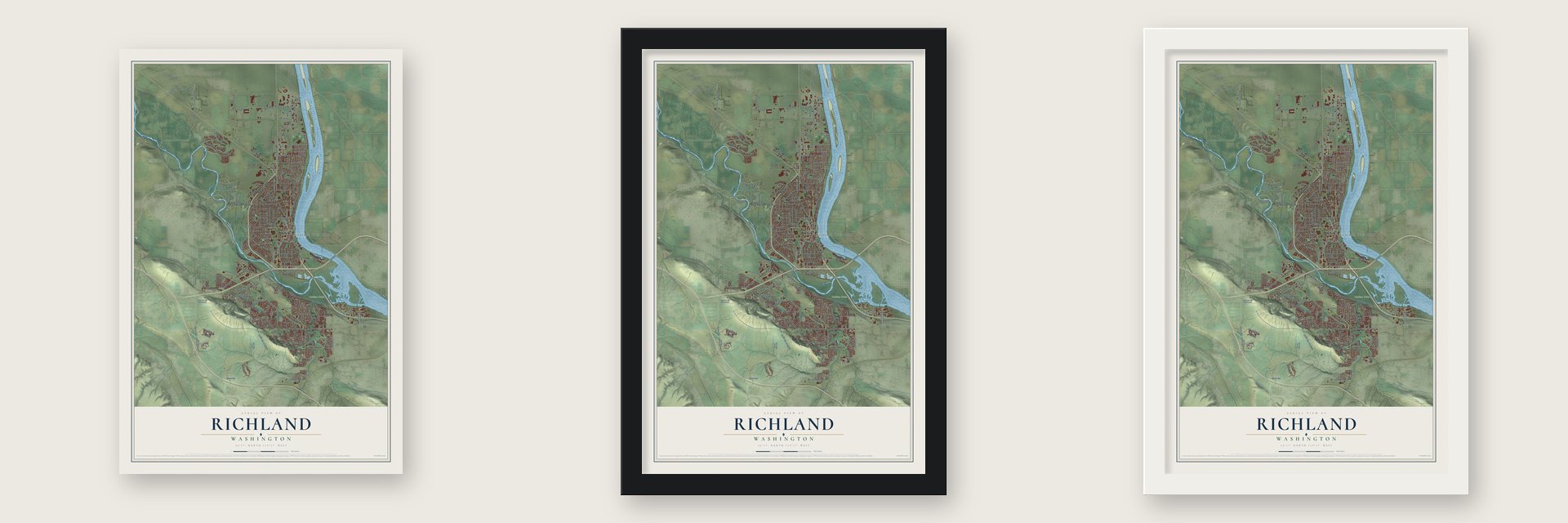
Unframed archival matte, a black wood frame or a white wood frame.
Up close
Geography Worth Displaying
This map was created using accurate cartographic data and authoritative geographic sources, including the U.S. Geological Survey and the Census Bureau. The map brings together terrain, waterways, roads, and building detail. The majority of the streets are labeled, houses are accurately depicted, and the topography is derived from government sources. Combining local data with carefully composed color and shading leads to this beautifully detailed Richland artwork for your wall.
Rather than simply showing street outlines, we’ve included as many of the street names as we could reasonably fit on the map while keeping their names legible. Zoom in on the high resolution preview to see exactly what’s on the map. We truly set out to create a statement piece for anyone who loves Richland. So whether it’s for you, or a gift for someone you love, we hope this map of Richland brings back fond memories.
Read the story behind this map of Richland, Washington from 2026.
About Richland, Washington
Richland is a city of 60,560 people in Benton County, where the Yakima River flows into the Columbia. The town site was laid out in 1904 by W. R. Amon and Howard S. Amon, his son, after they bought the Rosencrance and Rich farms. A naming contest chose Benton, but the Post Office said it sounded too much like Bentsen. The Amons then offered Richland, for Nelson Rich's land and for its fertile soil. The name was accepted in 1905, and the town was incorporated in 1910.
When World War II began, Richland was a farm village of 247 people. On March 6, 1943, registered letters told residents that a federal court had taken their homes, farms and shops for an unnamed war purpose. It was the Manhattan Project, and only about 10 percent of the old town stayed. The Army built a new Richland to house Hanford workers, and by 1950 it had 21,809 people. The government later sold the homes to residents, and on December 10, 1958, Richland became a first-class city.
“no wood to be seen in any direction”
- Clark's visit in 1805On October 17, 1805, Capt. William Clark paddled a canoe about eight miles along the Columbia until he reached the spot where the Yakima joins it. He found the rivers crowded with spawned-out salmon and the shore lined with lodges covered in mats. Nearby stood Chemna, the village where Wanapum, Walla Walla and Yakama people fished for salmon.
- The state's earliest strawberriesIn 1919 historian W. D. Lyman wrote that Richland's warm weather and quick, sandy soil gave Washington its first strawberries of the year. For about 30 years the town was known for strawberries, grapes, potatoes, hops and tree fruits.
- The alphabet housesThe Army Corps of Engineers and DuPont hired Spokane architect Gustav Albin Pehrson to plan the wartime village. He drew everything from small duplexes to two-story homes with four bedrooms and two baths. Each style was given a letter, so people called them alphabet houses, and many are still lived in.
- Streets named for engineersGeorge Washington Way honors the first president, who worked as a surveyor. Stevens Drive is named for the Panama Canal's chief engineer, John Frank Stevens, and Goethals Drive for George W. Goethals, the canal's designer. Some streets laid out after 1958 carry nuclear names, such as Einstein Avenue, Curie Street and Nuclear Lane.
- The last house sold in 1960Harold Orlando Monson was elected Richland's first mayor in 1954. He went to Washington, D.C., to press for private home ownership, and the next year Congress ordered the government to hand Richland over to local control. Senior tenants could buy their duplexes, and the government sold its final house on May 16, 1960.
Find your street
Names on the Richland map
Every name below is printed on this map. Look for your street, your school, the park where you played, or the pond down the road.
Places and landmarks3
- Richland City Hall
- Richland Junction
- Yakima Delta
Streets and roads234
- By Pass Highway
- West Van Giesen Street
- West Gage Boulevard
- Twin Bridges Road
- Steptoe Street
- Gage Boulevard
- George Washington Way
- Swift Boulevard
- Unnamed Pr
- Columbia Park Trail
- Grosscup Road
- Center Parkway
- Stevens Drive
- Horn Rapids Road
- Keene Road
- Leslie Road
- Jadwin Avenue
- Thayer Drive
- Birch Avenue
- Wright Avenue
- Goethals Drive
- Cottonwood Drive
- Meadow Hills Drive
- Snyder Street
- Saint Street
- Sanford Avenue
- Davison Avenue
- Harris Avenue
- Bellerive Drive
- Queensgate Drive
Show all 234 streets
- Kingsgale Way
- Van Giesen Street
- Hall Road
- Lee Boulevard
- Robertson Drive
- Torbett Street
- Marshall Avenue
- Duportail Street
- Mahan Avenue
- Newcomer Avenue
- Cedar Avenue
- Aaron Drive
- First Street
- University Drive
- Dallas Road
- East Reata Road
- Gala Way
- Adair Drive
- Williams Boulevard
- Port of Benton Boulevard
- Columbia Point Drive
- Jones Road
- Snyder Road
- Spengler Street
- Tapteal Drive
- Spengler Road
- Hunt Avenue
- Canyon Street
- Wellsian Way
- Kennedy Road
- Cullum Avenue
- Morency Drive
- Bradley Boulevard
- Perkins Avenue
- McMurray Street
- Howell Avenue
- Brantingham Road
- Riverwood Street
- Catskill Street
- South Bermuda Road
- Sagewood Street
- Battelle Boulevard
- Carrier Road
- Dockton Avenue
- Battelle Bl
- Hurley Road
- Kensington Way
- Battle Boulevard
- Orchard Way
- Lacy Road
- Oxford Avenue
- Kingston Road
- Barth Avenue
- Shockley Road
- Abbot Street
- Greenbrook Boulevard
- Summit Street
- McMurray Avenue
- Cowlitz Boulevard
- Ava Way
- Riverbend Drive
- Tiger Lane
- Broadmoor Street
- Tomich Avenue
- Beardsley Road
- River Park Drive
- Appaloosa Way
- Riverstone Drive
- Fermi Avenue
- Wilson Street
- Oahu Street
- Sixth Street
- Salk Avenue
- Jericho Road
- Fourth Street
- Hanford Street
- Reata Road
- Spring Street
- Skyline Drive
- Village Parkway
- Kelly Avenue
- Karlee Drive
- Sirron Avenue
- Long Avenue
- Pullen Street
- Rimrock Avenue
- Bear Drive
- Fuller Street
- Highview Street
- Hillview Drive
- Gillespie Street
- Hagen Road
- Hunter Street
- Smitty Drive
- Oxford Street
- Longfitt Street
- Lucca Lane
- Shaw Street
- Amon Drive
- Tenth
- Gay Road
- First
- Butler Loop
- River Valley Drive
- North Dallas Road
- Englewood Drive
- Country Ridge Drive
- Alder Avenue
- Smith Avenue
- Newhaven Loop
- Hains Avenue
- Fowler Street
- Buckskin Loop
- Terminal Drive
- Adams Street
- Putnam Street
- Hyde Road
- Allenwhite Drive
- Cascade Avenue
- Westcliff Boulevard
- Douglass Avenue
- Glen Road
- Columbia Center Boulevard
- Venus Cr
- Wellhouse Loop
- Travis Lane
- Casey Avenue
- Hills West Way
- Michael Avenue
- Humphreys Street
- Sunset Street
- Hood Avenue
- City View Drive
- Mansfield Street
- Third Street
- Farrell Lane
- Acacia Avenue
- Abert Avenue
- Piper Street
- Stonecreek Drive
- Gilmore Avenue
- East 210 Pr Northeast
- Gomer Road
- Anna Avenue
- Mesa Drive
- Elm Avenue
- Gleed Drive
- Garlick Boulevard
- Pisa Lane
- Log Lane
- Center Boulevard
- Horn Avenue
- Pinto Loop
- South Bent Road
- Penny Lane
- View Drive
- Dillion Road
- Nova Lane
- Brian Lane
- Rau Lane
- Tulip Lane
- Symons Street
- Larson Road
- Richardson Road
- Snow Avenue
- Sawgrass Loop
- Bridle Drive
- Bronco Lane
- Peach Tree Lane
- Fuji Way
- Kuhn Street
- Sell Lane
- Enterprise Drive
- Pike Avenue
- Knight Street
- Satus Street
- Eleventh Street
- River Road
- Tuscany Place
- Sherman Street
- Park Street
- Viliage Parkway
- Agier Drive
- Plaza Avenue
- Iry Street
- Crimson Way
- Tanglewood Drive
- Heritage Hills Drive
- Blue Avenue
- Forest Avenue
- Bruce Lee Lane
- Gage Road
- Plateau Drive
- Boone Road
- Amon Park Drive
- Rand Road
- Chelan Loop
- Lawless Drive
- Willis Street
- Brodie Lane
- Chester Road
- Canyon Rim Court
- Nevada Avenue
- Silver Court
Names are listed as they appear on the printed map. Zoom into the product photos to find them.
The art of mapping a place
How This Map Was Made
Real places. Remarkable detail. Discover the layers that turn geographic data into a map of home.

The view from above
Aerial imagery reveals the character of the land: woodland, open fields, and the patterns of a place.

The shape of the land
Elevation data brings hills, valleys, and subtle changes in the landscape into view.

The details of home
Roads, waterways, and building footprints come together to make the map feel unmistakably local.

Geography becomes art
Considered color, shading, and typography bring the layers together in a map made for your wall.


Process illustrated with Mendon, Massachusetts. Aerial imagery: USDA NAIP. Terrain: USGS 3D Elevation Program. Map details and finished artwork: KNOWOL.
The Details
About This Print
Choose an archival matte print, or a black or white Ayous wood frame. The archival matte print is unframed.
Select your size and finish above to see the matching product image and price.
Materials & Craftsmanship
A contemporary map with the character of a classic atlas, printed on archival matte paper. Optional frames are made from Ayous wood.
Your printed map does not include the watermark shown in the full-map preview.
Shipping & Delivery
Free shipping within the United States. Every print is made to order in the USA.
Buying a gift? Add a note in your cart and we'll include it. We never put prices in the package.
Prints ship within 2 to 3 business days. Allow 7 to 10 days total from ordering for delivery. Timing may vary during holidays or periods of high order volume.
Read our shipping policy.
Returns and damaged prints
Each print is made to order. Change-of-mind refunds are not available after production.
If your print arrives damaged, misprinted or incorrect, contact support@knowol.com within 30 days of receiving it. Include your order number, photos and a description of the issue.
Read our full refund and replacement policy. For questions about your order, email support@knowol.com.
Find your town
Looking for another city?
Find a map of home in our Washington collection, or any town in the country.
Nearby
Maps of towns near Richland
Know someone from one of these towns? Their map makes a great gift.
 West Richland
, Washington
From $39.99See the map
 West Pasco
, Washington
From $39.99See the map
 Kennewick
, Washington
From $39.99See the map
More maps nearby: Pasco, Benton City, Finley, Burbank and Basin City.