
Search for another town




Free U.S. delivery 7 to 10 days after you order
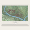
Pasco, Washington Map Art
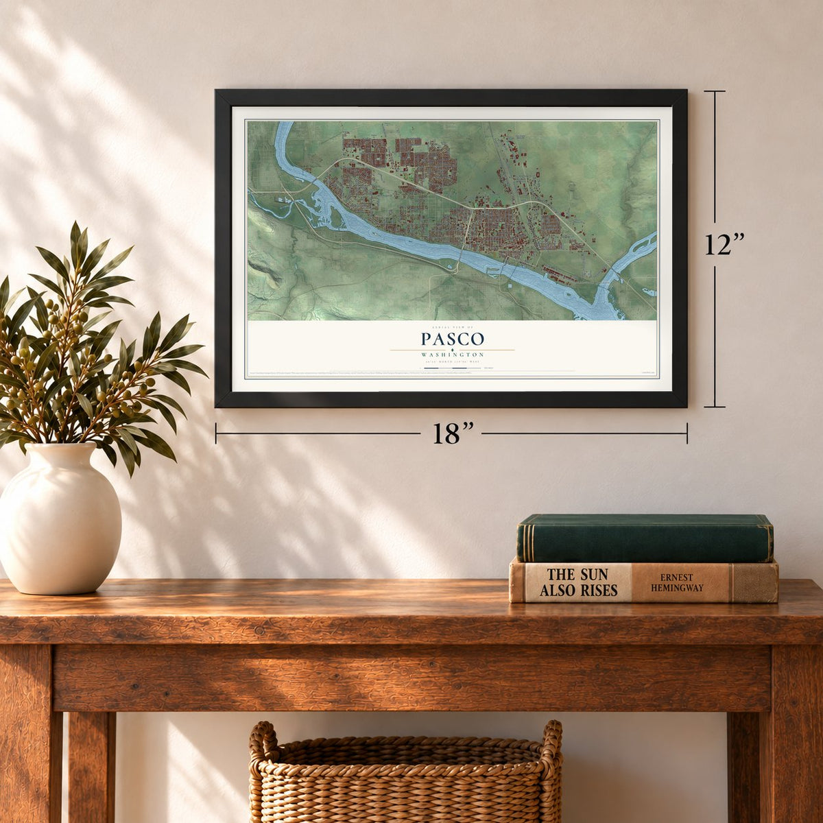
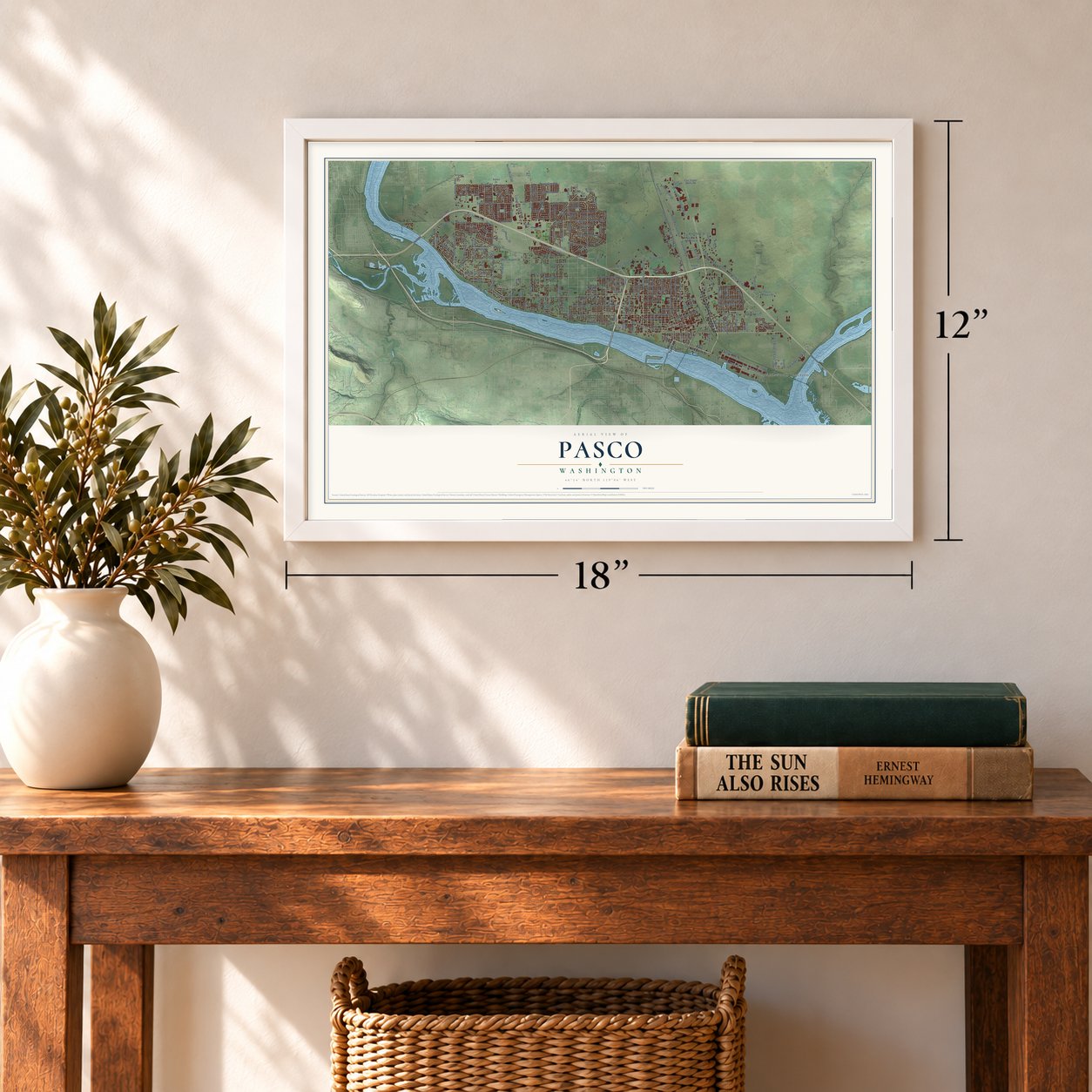
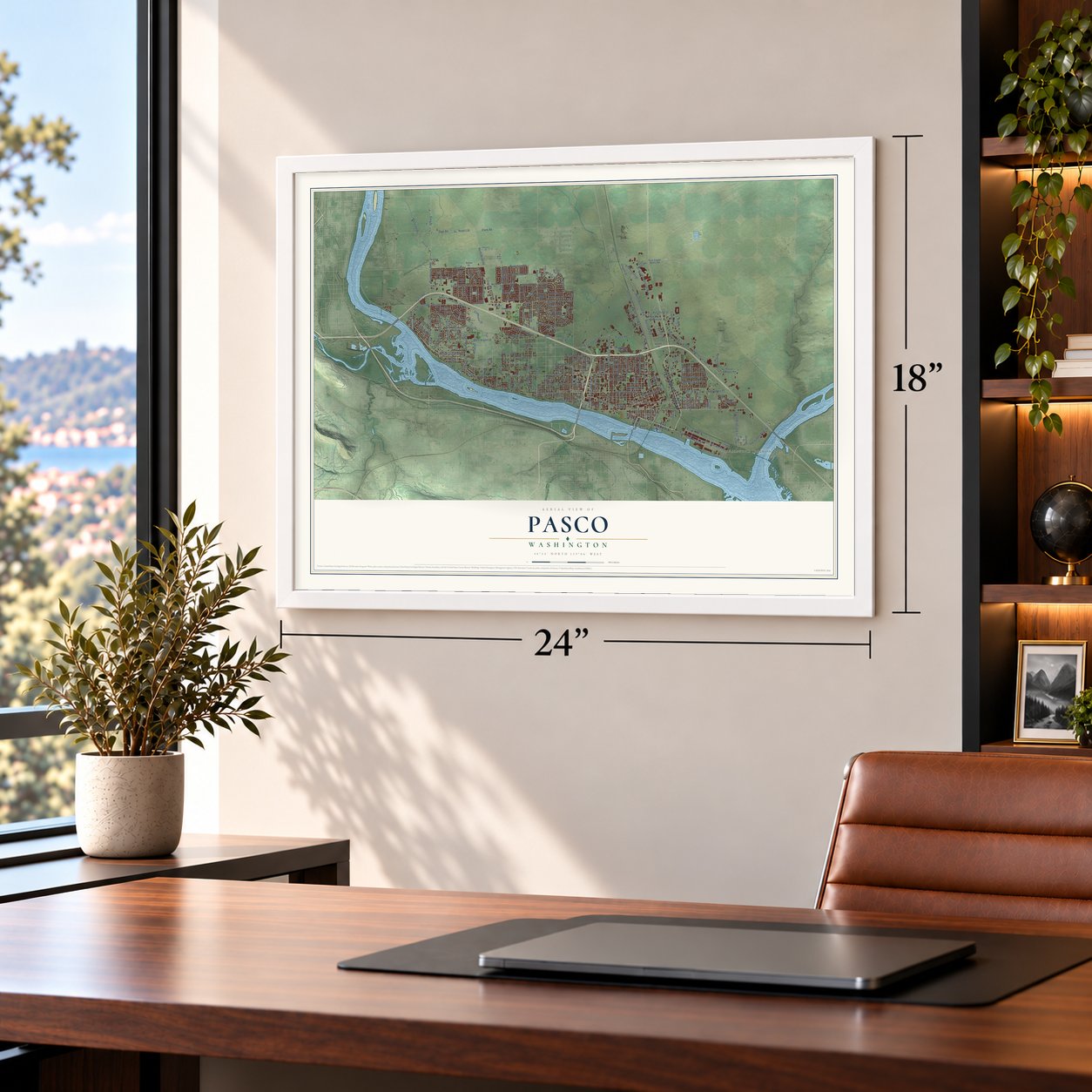
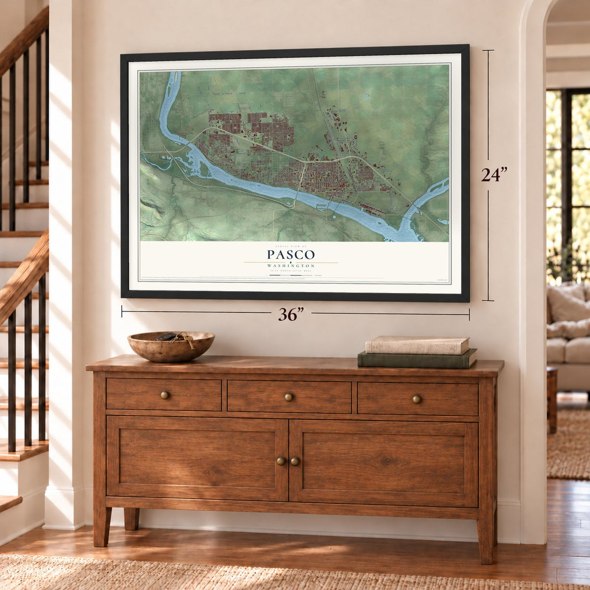
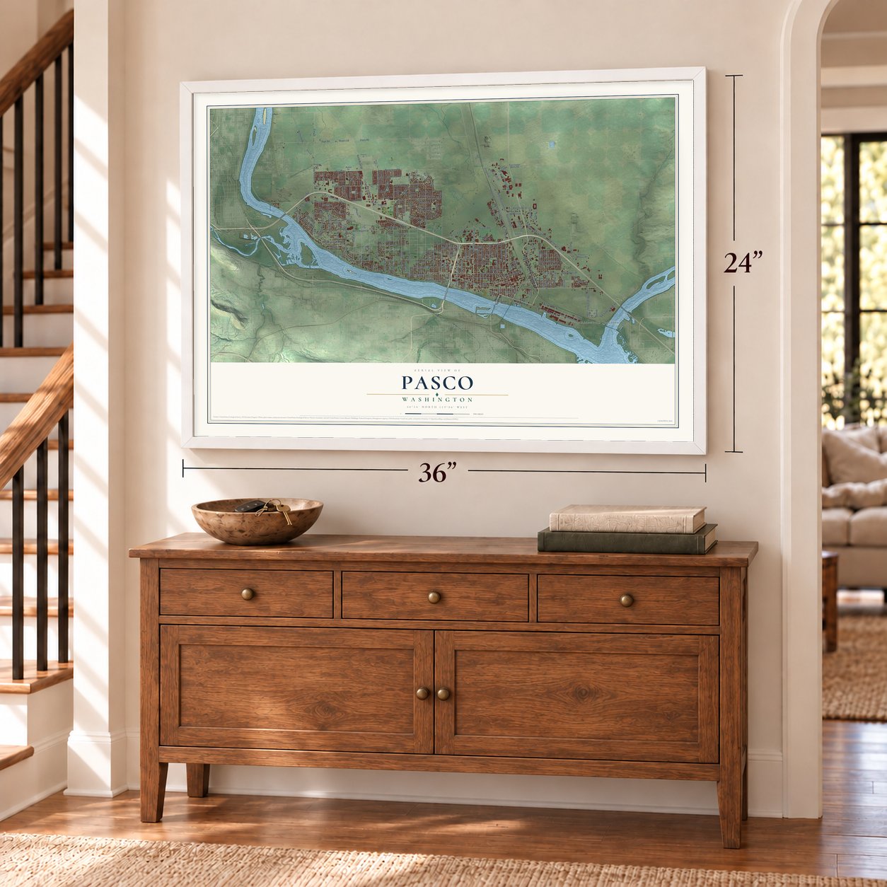
A new map of Pasco, Washington, made in 2026 and printed to order on thick archival matte paper.
12" x 18" Archival Matte Print
A Map of Home. A Work of Art.
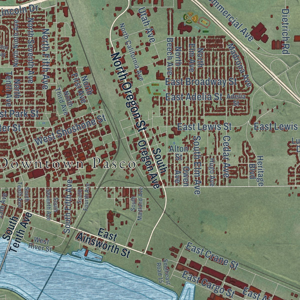
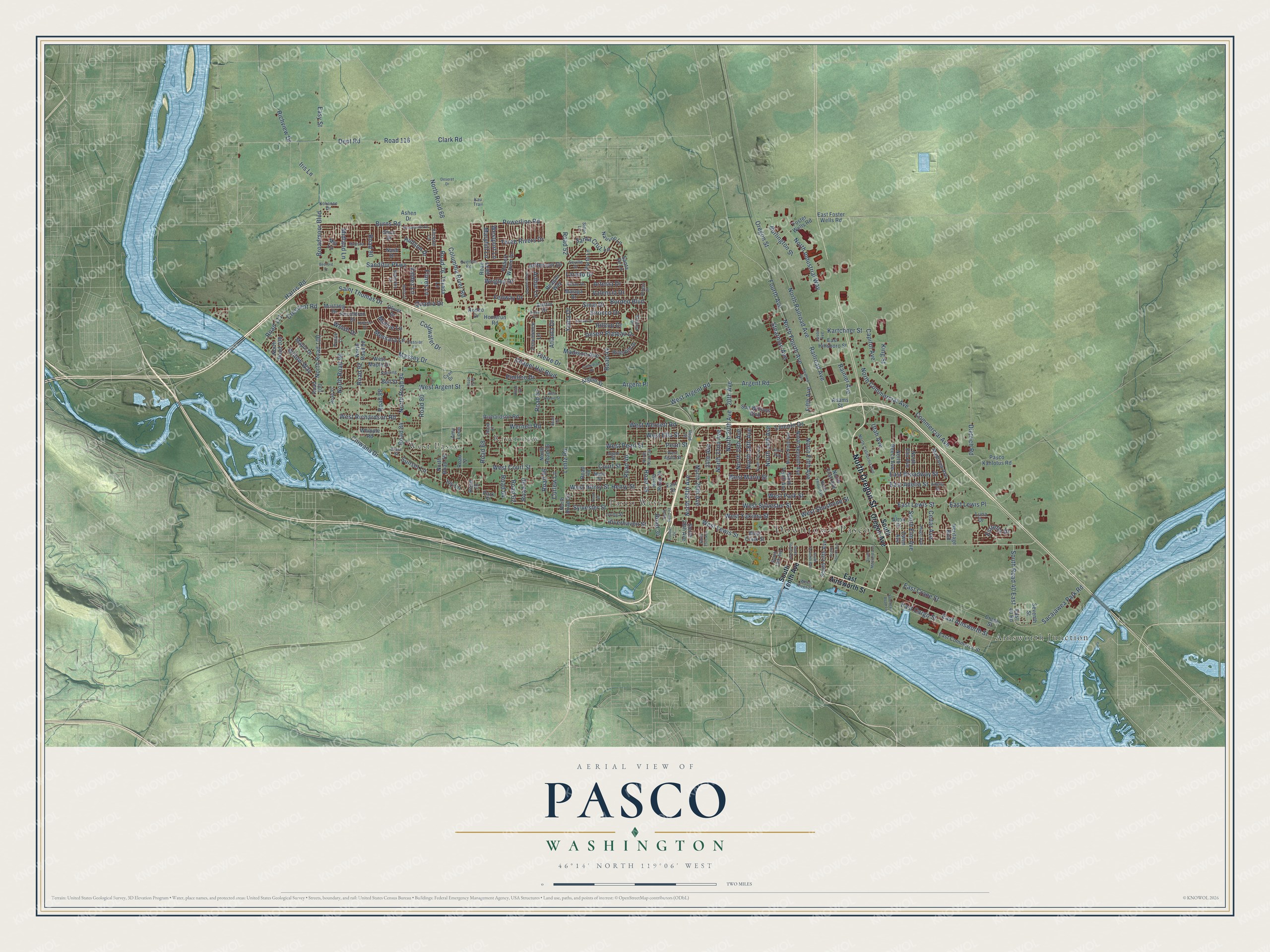
Explore Pasco, Washington from a whole new perspective. Created using aerial imagery and detailed geographic data, this map captures Pasco building by building, with labeled streets, familiar landmarks, and shaded topographical relief that highlights the natural contours of the landscape.
Combining modern data with the timeless character of a vintage atlas, this map is just as interesting up close as it is beautiful on the wall. Whether you grew up in Pasco, spent memorable years there, or call it home today, this unique map is a great way to celebrate a place that means something to you. Zoom in on the preview to look for your street, and then order a print to put your memories on the wall.
Three ways to hang it
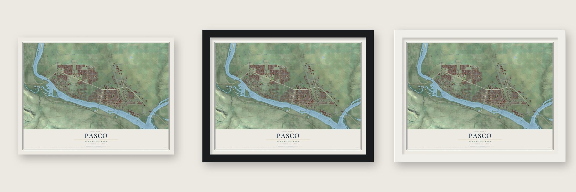
Unframed archival matte, a black wood frame or a white wood frame.
Up close
Geography Worth Displaying
This map was created using accurate cartographic data and authoritative geographic sources, including the U.S. Geological Survey and the Census Bureau. The map brings together terrain, waterways, roads, and building detail. The majority of the streets are labeled, houses are accurately depicted, and the topography is derived from government sources. Combining local data with carefully composed color and shading leads to this beautifully detailed Pasco artwork for your wall.
Rather than simply showing street outlines, we’ve included as many of the street names as we could reasonably fit on the map while keeping their names legible. Zoom in on the high resolution preview to see exactly what’s on the map. We truly set out to create a statement piece for anyone who loves Pasco. So whether it’s for you, or a gift for someone you love, we hope this map of Pasco brings back fond memories.
Read the story behind this map of Pasco, Washington from 2026.
About Pasco, Washington
Pasco is a city of 77,108 people and the county seat of Franklin County, on the Columbia just above the spot where the Snake River joins it. Tribes camped, fished and spent the winters on these flats for thousands of years, and the Lewis and Clark Expedition stopped near the Snake's mouth in 1805 and 1806. The town grew out of Ainsworth, a construction camp that the Northern Pacific Railway platted in 1879. Its crews, including hundreds of Chinese and Irish workers, laid track and built bridges there.
The railroad bridge over the Snake was finished on April 20, 1884, and Ainsworth's boom ended. Early in 1885 the Northern Pacific laid out a new townsite a few miles up the Columbia, and many Ainsworth buildings were taken apart and moved there by February. In December 1885 the legislature moved the county seat from Ainsworth to Pasco, where it has stayed. On August 29, 1891, voters approved incorporation 55 to 20, and Pasco became a town two days later.
“a few of the best people, the largest amount of bad men and women and the greatest amount of sin, dust and general disagreeableness of any place of its size on the coast”
- Named for the AndesNorthern Pacific engineer Virgil G. Bogue had recently built a railroad through Cerro del Pasco in Peru, and the dry shrub-steppe here reminded him of that high, dry place. Captain William P. Gray, a steamboat captain and Pasco pioneer, told this version, and it is the most widely accepted. Other stories point to a Mexican town or a railcar marked for the Pacific American Shipping Co.
- Steamboats and rail yardsBy 1888 Pasco had a railroad roundhouse and busy yards. Two steamboats were built here that year, and Gray took command of one. A small Chinatown grew near the tracks, with a general store kept by Wong How. In 1891 a Spokane Falls Review reporter found a first-class hotel, brick buildings, a new Methodist church and a school with 117 students.
- Hazel Scott's 1948 lawsuitJim Crow rules kept Black residents on the east side of the railroad tracks, where there was little public water or garbage service. In 1948 Hazel Scott was turned away at a Pasco restaurant. She sued the owners for discrimination and won, and the case drew national attention to segregation in the Tri-Cities.
Find your street
Names on the Pasco map
Every name below is printed on this map. Look for your street, your school, the park where you played, or the pond down the road.
Places and landmarks5
- Downtown Pasco
- Ainsworth Junction
- Pasco West
- Riverview
- West Pasco
Streets and roads257
- North Oregon Street
- North 28th Avenue
- Burns Road
- Road 76
- Maryhill Lane
- Harris Road
- Henry Street
- Massey Drive
- West Court Street
- West Argent Street
- Sylvester Street
- West Sylvester Street
- Court Street
- Chapel Hill Boulevard
- North Fourth Avenue
- Sandifur Parkway
- North Road 68
- Dent Road
- Road 116
- Columbia River Road
- Road 36
- Argent Road
- North Railroad Avenue
- West Pearl Street
- Commercial Avenue
- Burden Boulevard
- Road 84
- West Lewis Street
- West Marie Street
- Road 44
Show all 257 streets
- Road 60
- Broadmoor Boulevard
- Capitol Avenue
- Road 52
- Fourth Avenue
- Pearl Street
- West Henry Street
- West Park Street
- North 20th Avenue
- Railroad Avenue
- Sacajawea Park Road
- Road 68
- Wernett Road
- Wrigley Drive
- East Ainsworth Street
- West Wernett Road
- East Lewis Street
- North Fifth Avenue
- West Shoshone Street
- Road 56
- Powerline Road
- West Richardson Road
- North 14th Avenue
- Road 92
- North 18th Avenue
- West Argent Road
- Road 40
- West Yakima Street
- North Industrial Way
- Madison Avenue
- North 19th Avenue
- South Road 40 East
- North Road 84
- Curlew Lane
- Three Rivers Drive
- 24th Avenue
- Road 64
- Lentz Road
- Road 34
- West Ella Street
- North Road 96
- North Commercial Avenue
- Desert Plateau Drive
- Stearman Avenue
- 20th Avenue
- Road 88
- East Cargo Street
- North 22nd Avenue
- Clark Road
- East Crane Street
- Road 80
- East Broadway Street
- Oregon Street
- North Road 100
- Dietrich Road
- East Lewis Place
- Coldwater Drive
- Ivy Lane
- Saint Thomas Drive
- Kartchner Street
- Pimlico Drive
- Laredo Drive
- Road 111
- Road 90
- Artesia Drive
- Messara Lane
- Burlington Street
- Hilltop Drive
- Richview Drive
- Rainier Avenue
- North 26th Avenue
- Crescent Road
- Easy Street
- Riverhaven Street
- Santa Cruz Lane
- Iris Lane
- Sirocco Drive
- Fenway Drive
- South Elm Avenue
- East Adelia Street
- Sinai Drive
- Willow Way
- Hudson Drive
- Midland Lane
- Welsh Drive
- Estrella Drive
- Argent Place
- Road 57
- Cedar Avenue
- Pierre Drive
- Atlanta Drive
- Quadra Drive
- Flores Lane
- Valdez Lane
- Utah Avenue
- Jefferson Drive
- Yuma Drive
- Lincoln Drive
- Road 62
- Moline Lane
- Westport Lane
- Valencia Drive
- Chiwana Drive
- Arthur Lane
- Fifth Avenue
- Sunset Lane
- King Street
- South Oregon Avenue
- South Tenth Avenue
- South 28th Avenue
- North Road 76
- East Street
- North Road 56
- West Clark Street
- North Seventh Avenue
- North Tenth Avenue
- Richardson Road
- North Road 92
- North Road 52
- North Road 34
- Robert Wayne Drive
- East 40 Road
- North Beech Avenue
- East Hillsboro Street
- Park Street
- Road 100
- Santa Fe Lane
- South Fifth Avenue
- West Maple Drive
- North Elm Avenue
- Foster Wells Road
- Sun Willows Boulevard
- Road 48
- North First Avenue
- Madrona Avenue
- East Commerce Street
- Heritage Boulevard
- Road 68 Place
- Oliver Drive
- Pasco Kahlotus Road
- Maple Drive
- Road 72
- Nauvoo Lane
- Homerun Road
- Percheron Drive
- Alton Street
- Providence Lane
- Porto Lane
- Riverhill Drive
- Reagan Way
- North Road 108
- Road 70
- Mustang Drive
- Texada Lane
- East Foster Wells Road
- Mia Lane
- Adams Street
- Amy Loop
- Argent Street
- Owen Avenue
- Malaga Drive
- Bell Street
- Whipple Road
- Seventh Street
- Austin Drive
- Nash Drive
- Stutz Drive
- Crane Street
- Ashen Drive
- Rodeo Drive
- Luna Drive
- Road 28
- West Agate Street
- North Third Avenue
- North Ninth Avenue
- Marie Street
- North Road 36
- Irving Street
- North California Avenue
- Hugo Avenue
- Sidon Lane
- Agate Street
- Overton Road
- Sedona Drive
- West River Street
- Road 67
- Bakerloo Lane
- South 13th Avenue
- Sterling
- Bilbao Drive
- Klickitat Lane
- Kokanee Drive
- Seville Drive
- Road 97
- Cassiar Lane
- Cyan Drive
- Jason Avenue
- Prairie Lane
- Adelia Street
- Clara Street
- Kau Trail
- Antigua Drive
- Swallow Avenue
- North Road 32
- South Fourth Avenue
- Sahara Drive
- Road 54
- Road 46
- North 16th Avenue
- South Maitland Avenue
- West Dradie Street
- Cleveland Road
- Snoqualmie Drive
- South Seventh Avenue
- Majestia Lane
- Cathedral Drive
- Southeast Road 15
- Deseret Drive
- South 25th Avenue
- Matia Lane
- Maltese Drive
- Bedford Street
- Boise Drive
- Frontier Drive
- Astor Way
- Road 70 Place
- Road 61
Names are listed as they appear on the printed map. Zoom into the product photos to find them.
The art of mapping a place
How This Map Was Made
Real places. Remarkable detail. Discover the layers that turn geographic data into a map of home.

The view from above
Aerial imagery reveals the character of the land: woodland, open fields, and the patterns of a place.

The shape of the land
Elevation data brings hills, valleys, and subtle changes in the landscape into view.

The details of home
Roads, waterways, and building footprints come together to make the map feel unmistakably local.

Geography becomes art
Considered color, shading, and typography bring the layers together in a map made for your wall.


Process illustrated with Mendon, Massachusetts. Aerial imagery: USDA NAIP. Terrain: USGS 3D Elevation Program. Map details and finished artwork: KNOWOL.
The Details
About This Print
Choose an archival matte print, or a black or white Ayous wood frame. The archival matte print is unframed.
Select your size and finish above to see the matching product image and price.
Materials & Craftsmanship
A contemporary map with the character of a classic atlas, printed on archival matte paper. Optional frames are made from Ayous wood.
Your printed map does not include the watermark shown in the full-map preview.
Shipping & Delivery
Free shipping within the United States. Every print is made to order in the USA.
Buying a gift? Add a note in your cart and we'll include it. We never put prices in the package.
Prints ship within 2 to 3 business days. Allow 7 to 10 days total from ordering for delivery. Timing may vary during holidays or periods of high order volume.
Read our shipping policy.
Returns and damaged prints
Each print is made to order. Change-of-mind refunds are not available after production.
If your print arrives damaged, misprinted or incorrect, contact support@knowol.com within 30 days of receiving it. Include your order number, photos and a description of the issue.
Read our full refund and replacement policy. For questions about your order, email support@knowol.com.
Find your town
Looking for another city?
Find a map of home in our Washington collection, or any town in the country.
Nearby
Maps of towns near Pasco
Know someone from one of these towns? Their map makes a great gift.
 West Pasco
, Washington
From $39.99See the map
 Kennewick
, Washington
From $39.99See the map
 Finley
, Washington
From $39.99See the map
More maps nearby: Burbank, Richland, West Richland, Wallula and Benton City.