
Search for another town





Free U.S. delivery 7 to 10 days after you order
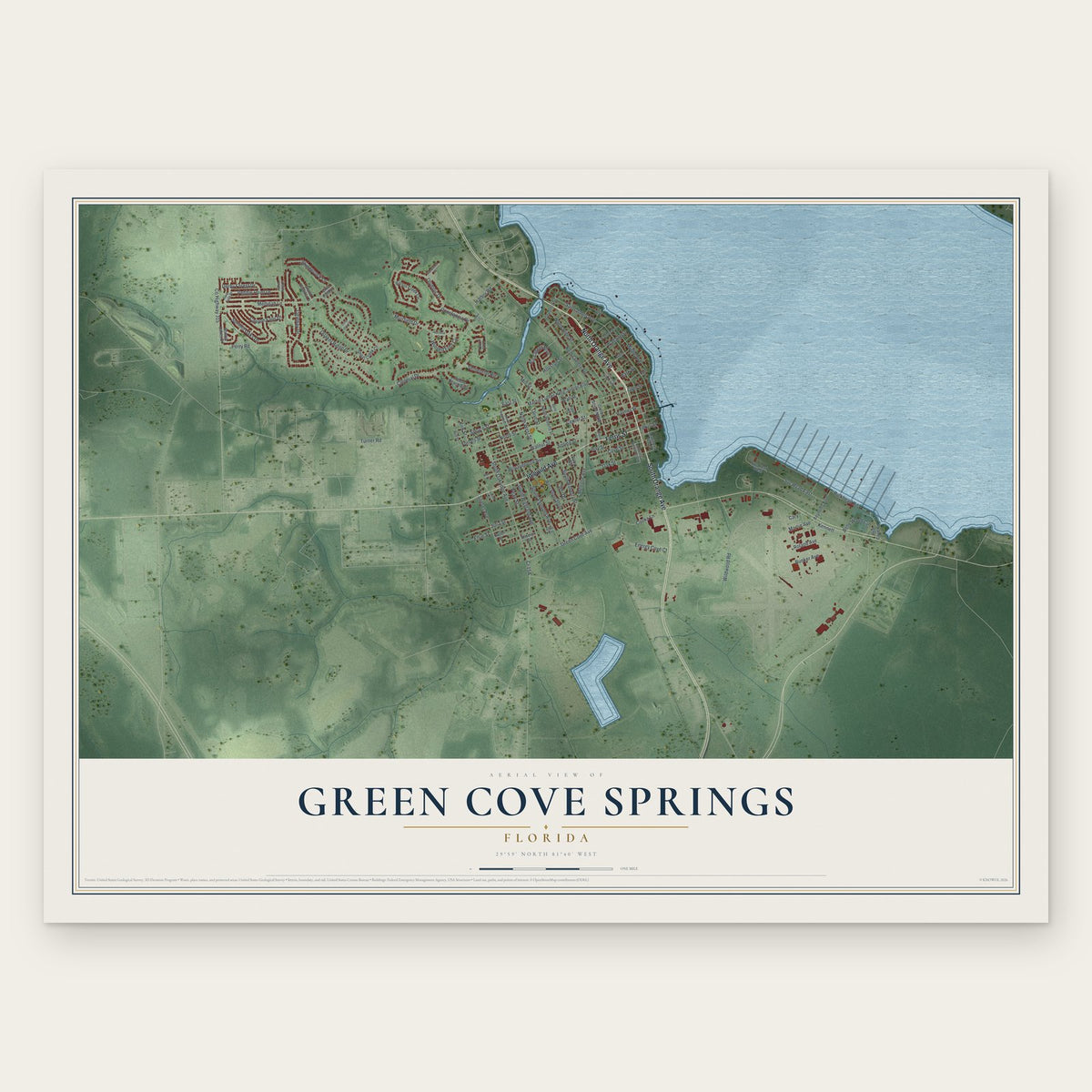
Green Cove Springs, Florida Map Art
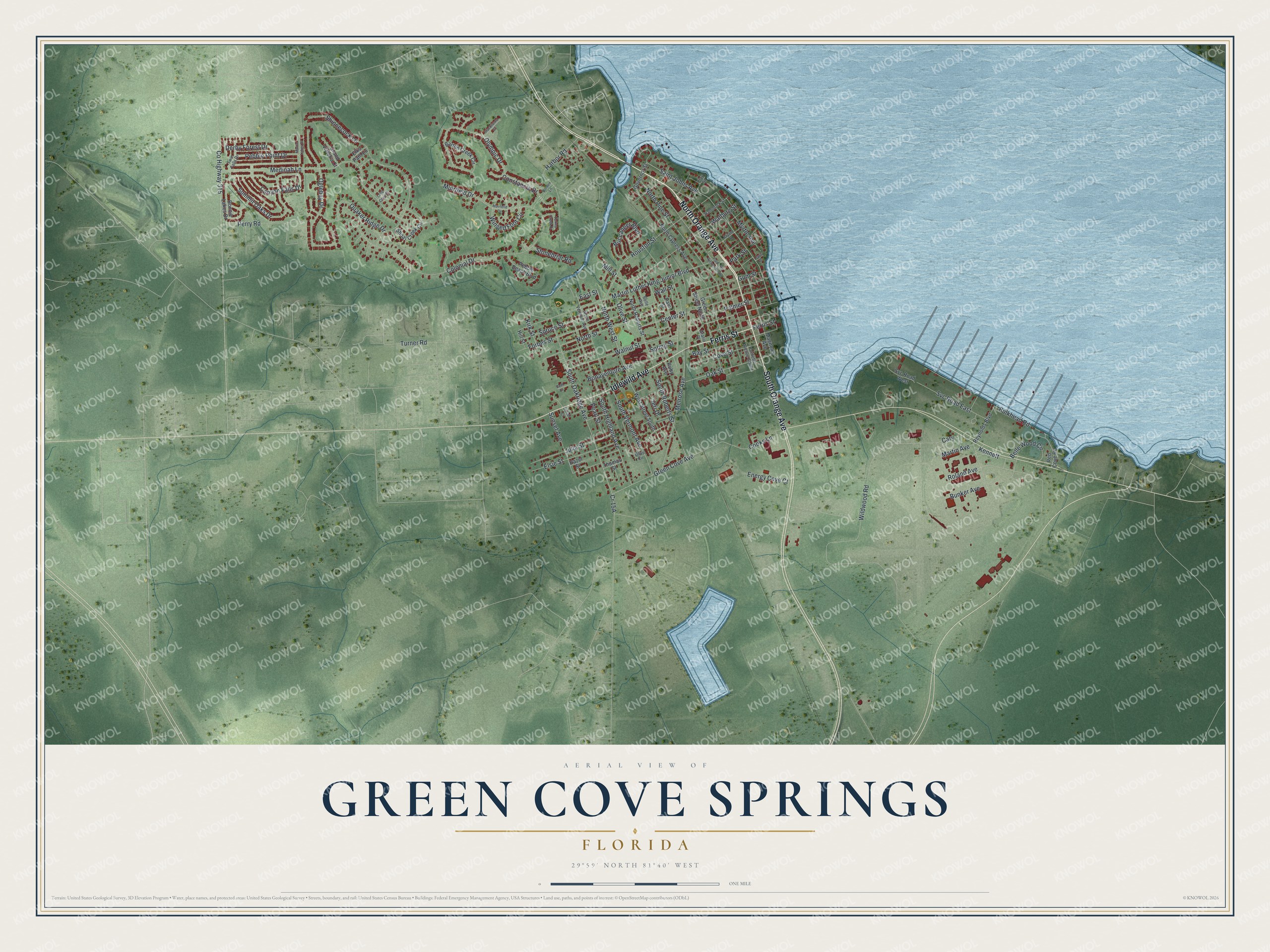
A new map of Green Cove Springs, Florida, made in 2026 and printed to order on thick archival matte paper.
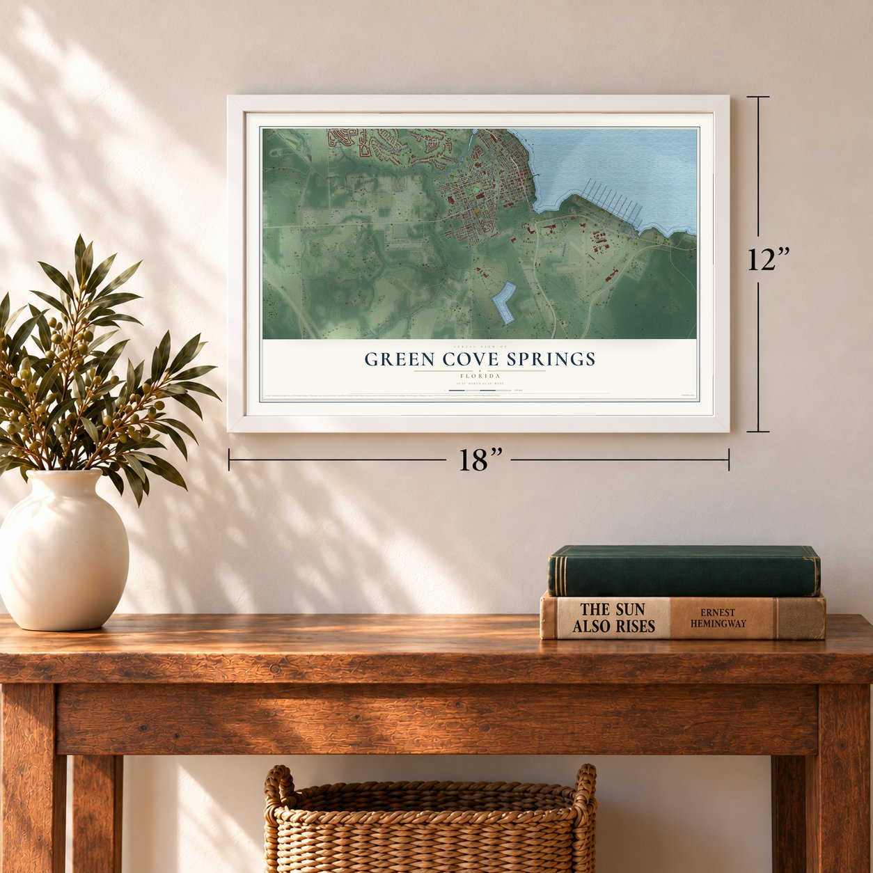
12" x 18" Archival Matte Print
A Map of Home. A Work of Art.
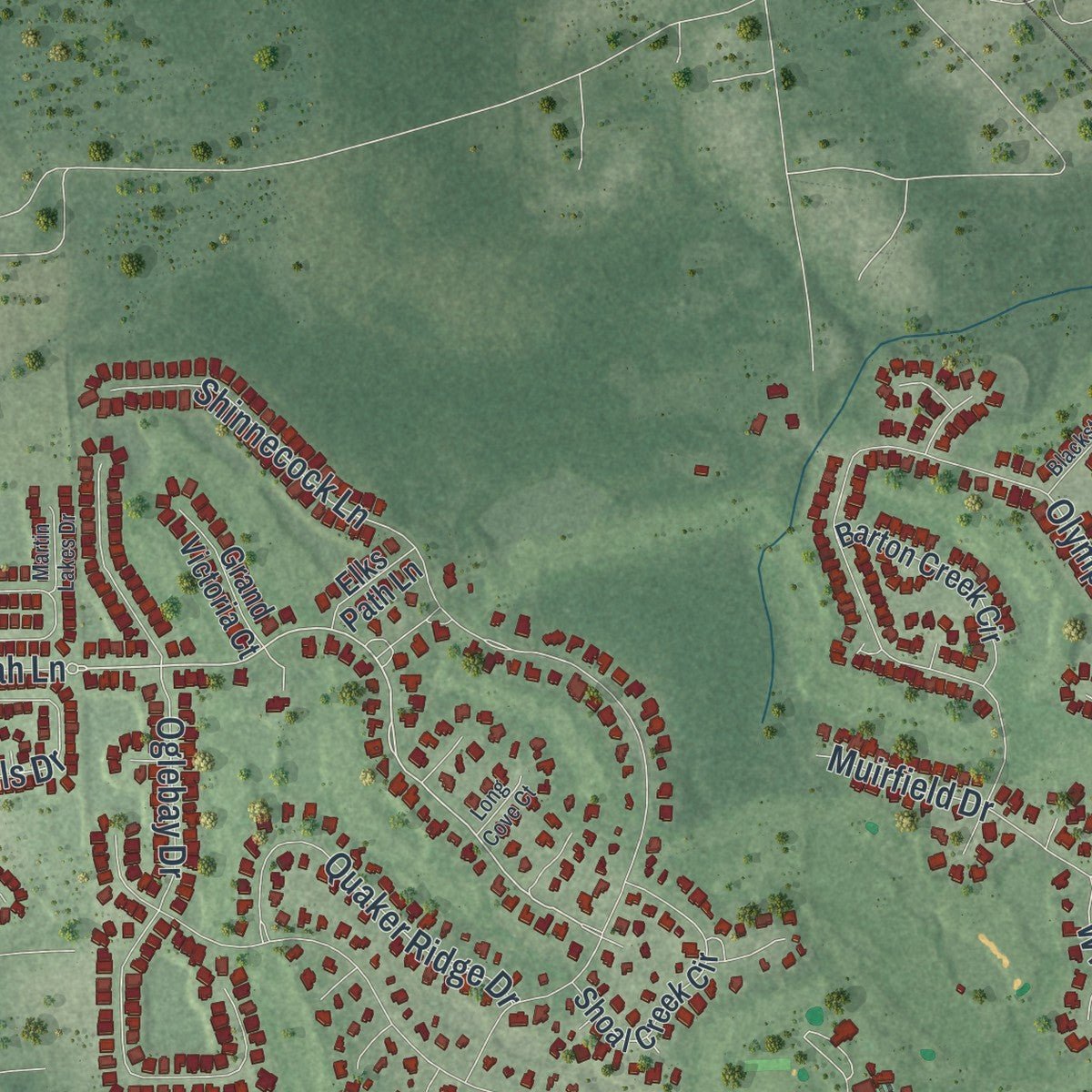
Explore Green Cove Springs, Florida from a whole new perspective. Created using aerial imagery and detailed geographic data, this map captures Green Cove Springs building by building, with labeled streets, familiar landmarks, and shaded topographical relief that highlights the natural contours of the landscape.
Combining modern data with the timeless character of a vintage atlas, this map is just as interesting up close as it is beautiful on the wall. Whether you grew up in Green Cove Springs, spent memorable years there, or call it home today, this unique map is a great way to celebrate a place that means something to you. Zoom in on the preview to look for your street, and then order a print to put your memories on the wall.
Three ways to hang it
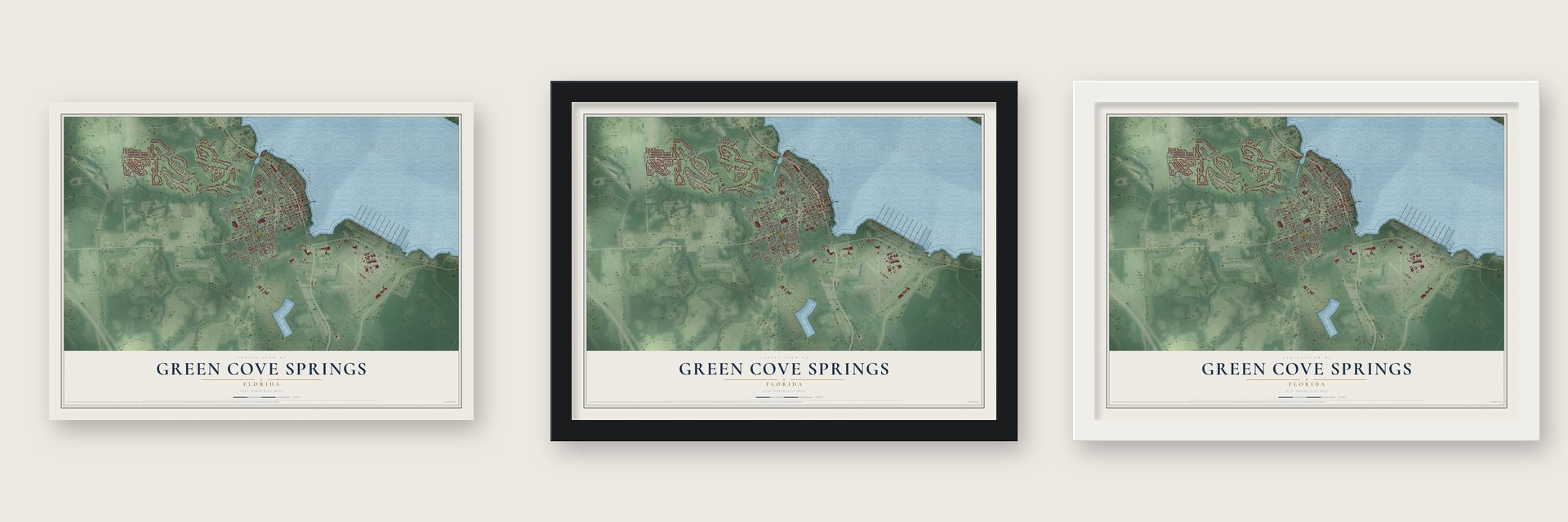
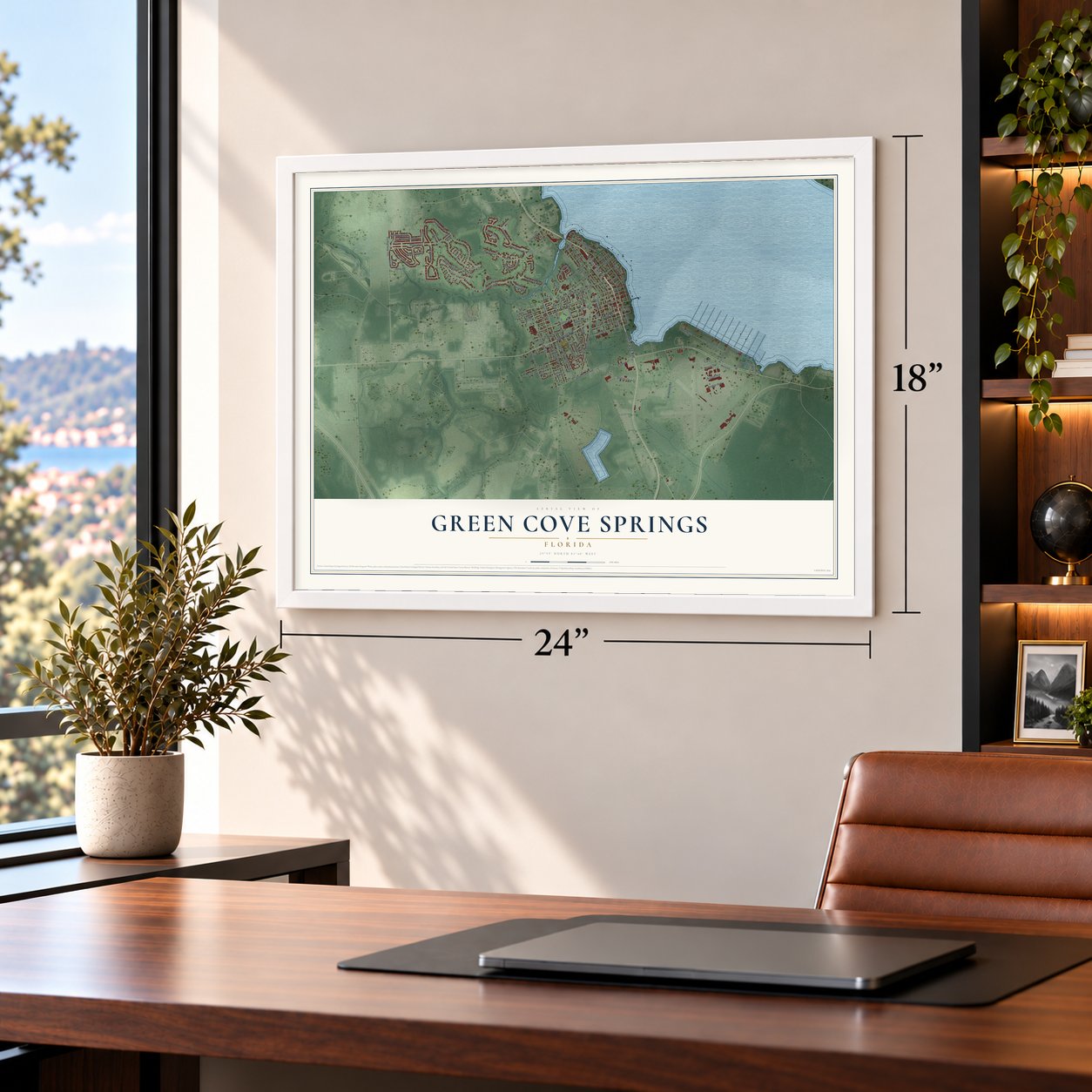
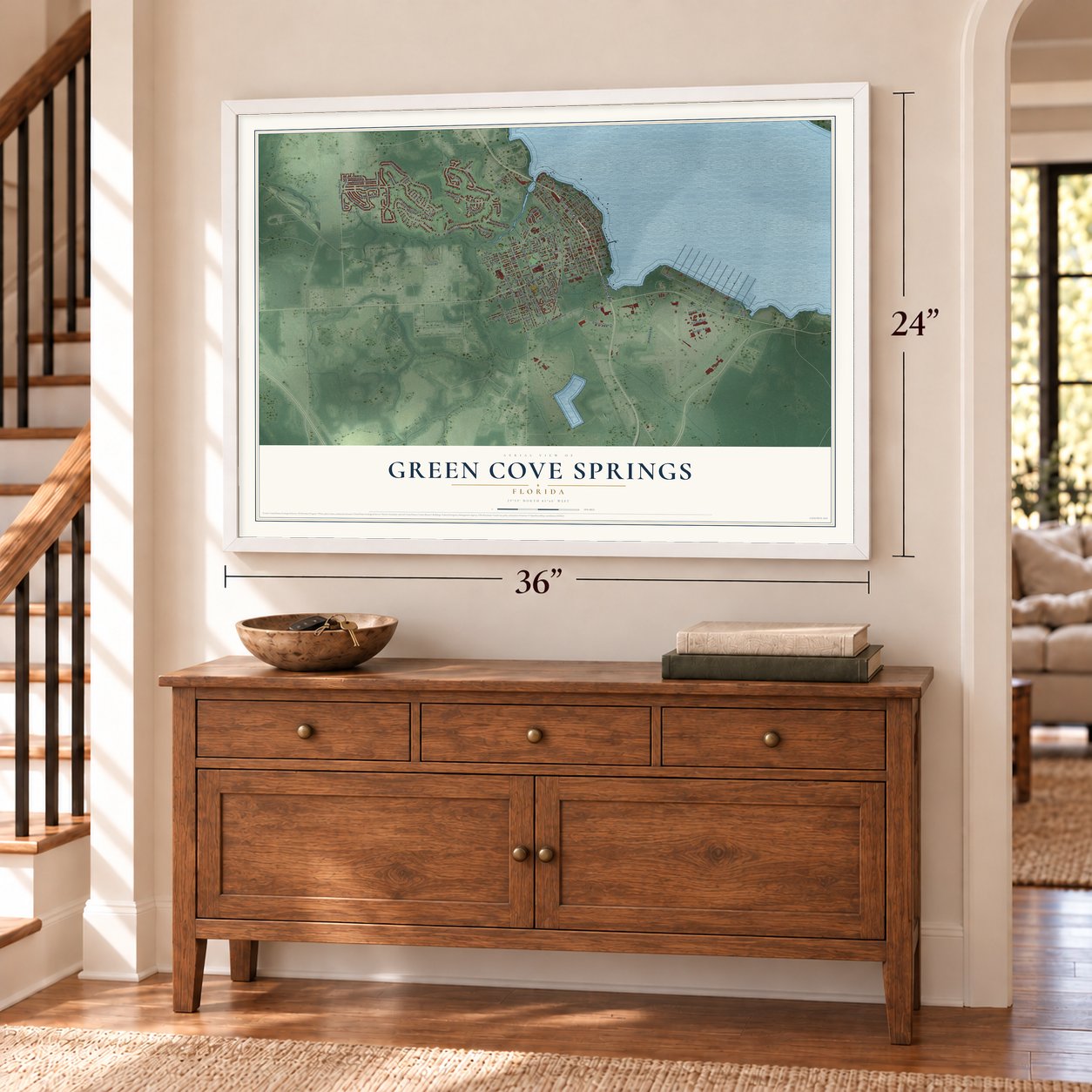
Unframed archival matte, a black wood frame or a white wood frame.
Up close
Geography Worth Displaying
This map was created using accurate cartographic data and authoritative geographic sources, including the U.S. Geological Survey (USGS) and FEMA. The map brings together terrain, waterways, roads, and building detail. The majority of the streets are labeled, houses are accurately depicted, and the topography is derived from government sources. Combining local data with carefully composed color and shading leads to this beautifully detailed Green Cove Springs artwork for your wall.
Rather than simply showing street outlines, we’ve included as many of the street names as we could reasonably fit on the map while keeping their names legible. Zoom in on the high resolution preview to see exactly what’s on the map. We truly set out to create a statement piece for anyone who loves Green Cove Springs. So whether it’s for you, or a gift for someone you love, we hope this map of Green Cove Springs brings back fond memories.
Explore the full map of Green Cove Springs, Florida and read about the local places it shows.

About Green Cove Springs, Florida
Green Cove Springs is a city of 9,786 people and the seat of Clay County, on the St. Johns River. It takes its name from a spring beside a curve in the river, where the trees stay green through every season. Native Americans were drawn to the warm mineral water more than 7,000 years ago, and in 1816 Spain granted George J. F. Clarke land here so he could put up a sawmill.
Locals knew the spring as the "Original Fountain of Youth," and in the 1800s more than a dozen hotels rose around it for visitors. That trade nearly vanished late in the century, when Henry Flagler's railroad carried tourists farther south and the Great Freeze of 1895 wiped out the citrus. Automobiles brought visitors back in the 1920s, until the Great Depression ended the boom.
- A chapel for winter guestsIn 1878 a Boston woman who spent her winters in Green Cove Springs sent the bishop a letter, hoping he would give the season's visitors a chapel. Winter guests and year-round residents together raised more than $1,000, and St. Mary's Episcopal Church held its first service on March 10, 1879.
- Courthouse of 1889Clay County built its two-story brick courthouse on Walnut Street in 1889, and the county's courts used it until 1973. Today it shares the county's Historic Triangle with the old jail, a railroad depot display and the Clay County History Museum.
- A Navy base and 500 shipsThe Navy opened Naval Air Station Lee Field on September 11, 1940, honoring Ensign Benjamin Lee, killed in a crash in England during World War I. Renamed Naval Air Station Green Cove Springs in 1943, it had four 5,000-foot runways, and Ed McMahon learned to fly for the Marine Corps there in early 1945. After the war, about 500 reserve vessels lay at 13 river piers until it closed in 1960.
- Mama and Papa GusFrank and Agnes Gustafson started a dairy farm here in 1908. It grew to nearly 10,000 acres beside the city limits, ranking among the biggest private dairy farms in the Southeastern United States. The couple's pictures, along with their first cow, Buttercup, still appear on every Gustafson's carton.
- Merrill Lynch began hereCharles E. Merrill, born in Green Cove Springs in 1885, lived here as a young boy. Years later his son James Merrill, a poet, described the town's spring in his poem "Two From Florida."
Find your street
Names on the Green Cove Springs map
Every name below is printed on this map. Look for your street, your school, the park where you played, or the pond down the road.
Streets and roads109
- North Orange Avenue
- Ferris Street
- South Orange Avenue
- Idlewild Avenue
- Walnut Street
- Saint Johns Avenue
- Medinah Lane
- Green Cove Avenue
- South Oakridge Avenue
- Muirfield Drive
- North West Street
- Oak Street
- Houston Street
- Winged Foot Circle
- Wildwood Road
- Colonial Drive
- Martin Luther King Junior Boulevard
- Shinnecock Lane
- North Street
- North Pine Street
- Olympic Drive
- Center Street
- Oglebay Drive
- Forbes Street
- Canyon Falls Drive
- Pebble Point Drive
- Walburg Street
- South Highland Avenue
- South Vermont Avenue
- South Roberts Street
Show all 109 streets
- Melrose Avenue
- Bulkhead Road
- Harbor Road
- Spruce Street
- Palmer Street
- Summit Oaks Drive
- Spring Street
- Bay Street
- Bunker Avenue
- Bonaventure Avenue
- Myrtle Avenue
- County Highway 315
- Elsie Street
- Roland Avenue
- Julia Street
- Cove Street
- Cooks Lane
- Buccaneer Boulevard
- Svc Road East
- Quaker Ridge Drive
- Gum Street
- Sunset Avenue
- Perry Road
- Derby Forest Drive
- Belle Wood Circle
- Constancia Drive
- Energy Cove Court
- Mill Street
- Kirk Street
- Kennett
- Stonebriar Road
- Turner Road
- Martin Avenue
- Pearl Street
- East Street
- Park Street
- Jeri Drive
- Olive Street
- Wall Street
- Cary
- West Street South
- Magnolia Avenue
- Green Street North
- North Cypress Avenue
- Shoal Creek Circle
- Bonnie Lakes Drive
- North Roberts Street
- Pebble Beach Boulevard
- Barton Creek Circle
- Svc Road West
- Reynolds Boulevard
- Red Cove Road
- Grand Victoria Court
- Governor Street
- Palm Street
- Elks Path Lane
- Thomas Street
- Hill Street
- Hazel Street
- Ruby Avenue
- Palmetto Avenue South
- North Vermont Avenue
- Olive Circle
- Hammock Street
- Clay Street
- Twin Falls Drive
- Belle Avenue
- Gratio Place
- Muirfeild Drive
- Palmetto Avenue North
- Bayard Street
- Borden Lane
- Turkey Creek Drive
- Blackstone Court
- Beth Drive
- Martin Lakes Drive
- Long Cove Court
- Florida Court
- Lewis Drive
Names are listed as they appear on the printed map. Zoom into the product photos to find them.
The art of mapping a place
How This Map Was Made
Real places. Remarkable detail. Discover the layers that turn geographic data into a map of home.

The view from above
Aerial imagery reveals the character of the land: woodland, open fields, and the patterns of a place.

The shape of the land
Elevation data brings hills, valleys, and subtle changes in the landscape into view.

The details of home
Roads, waterways, and building footprints come together to make the map feel unmistakably local.

Geography becomes art
Considered color, shading, and typography bring the layers together in a map made for your wall.


Process illustrated with Mendon, Massachusetts. Aerial imagery: USDA NAIP. Terrain: USGS 3D Elevation Program. Map details and finished artwork: KNOWOL.
The Details
About This Print
Choose an archival matte print, or a black or white Ayous wood frame. The archival matte print is unframed.
Select your size and finish above to see the matching product image and price.
Materials & Craftsmanship
A contemporary map with the character of a classic atlas, printed on archival matte paper. Optional frames are made from Ayous wood.
Your printed map does not include the watermark shown in the full-map preview.
Shipping & Delivery
Free shipping within the United States. Every print is made to order in the USA.
Buying a gift? Add a note in your cart and we'll include it. We never put prices in the package.
Prints ship within 2 to 3 business days. Allow 7 to 10 days total from ordering for delivery. Timing may vary during holidays or periods of high order volume.
Read our shipping policy.
Returns and damaged prints
Each print is made to order. Change-of-mind refunds are not available after production.
If your print arrives damaged, misprinted or incorrect, contact support@knowol.com within 30 days of receiving it. Include your order number, photos and a description of the issue.
Read our full refund and replacement policy. For questions about your order, email support@knowol.com.
Find your town
Looking for another city?
Find a map of home in our Florida collection, or any town in the country.
Nearby
Maps of towns near Green Cove Springs
Know someone from one of these towns? Their map makes a great gift.
 Asbury Lake
, Florida
From $39.99See the map
 Penney Farms
, Florida
From $39.99See the map
 Fleming Island
, Florida
From $39.99See the map
More maps nearby: Fruit Cove, Rideout, World Golf Village, Lakeside and Mandarin.