
Search for another town
Free U.S. delivery 7 to 10 days after you order
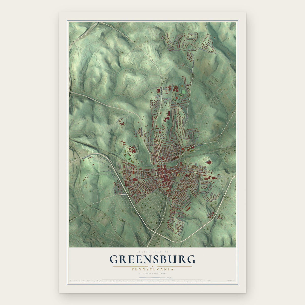
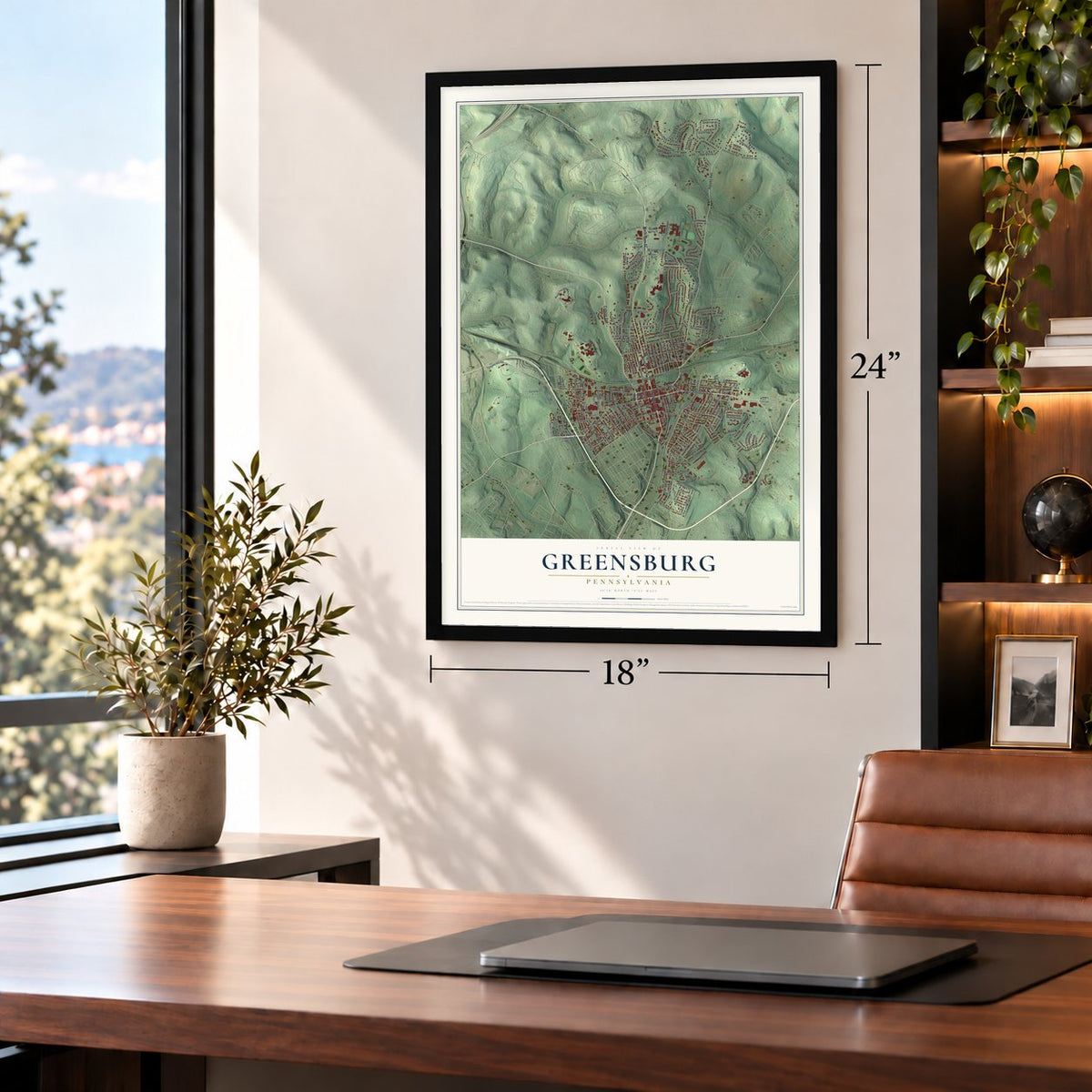
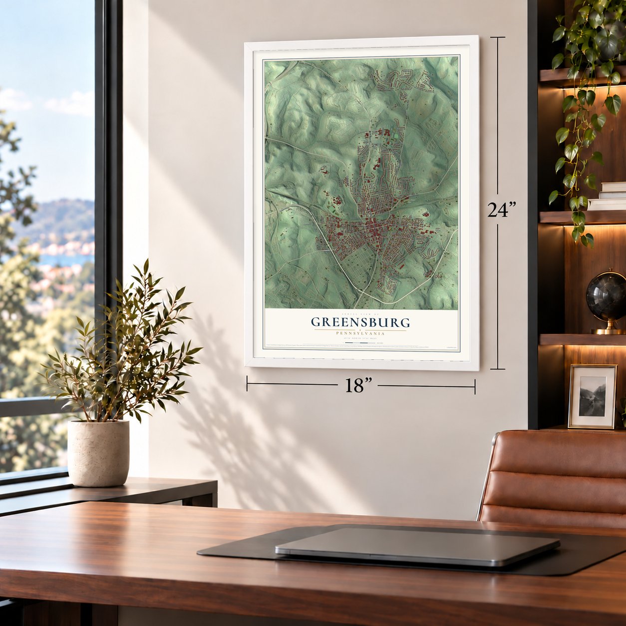
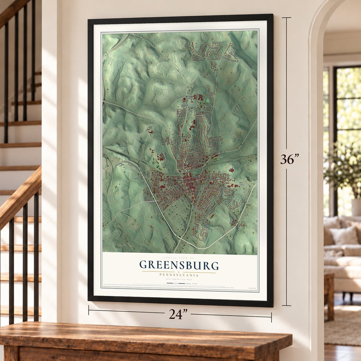
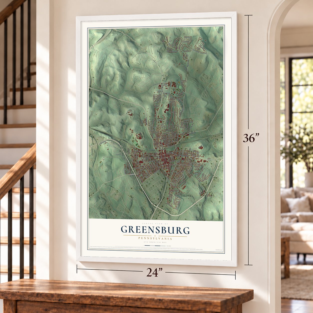
Greensburg, Pennsylvania Map Art
Building by building, with labeled streets and shaded relief.
12" x 18" Archival Matte Print
A Map of Home. A Work of Art.
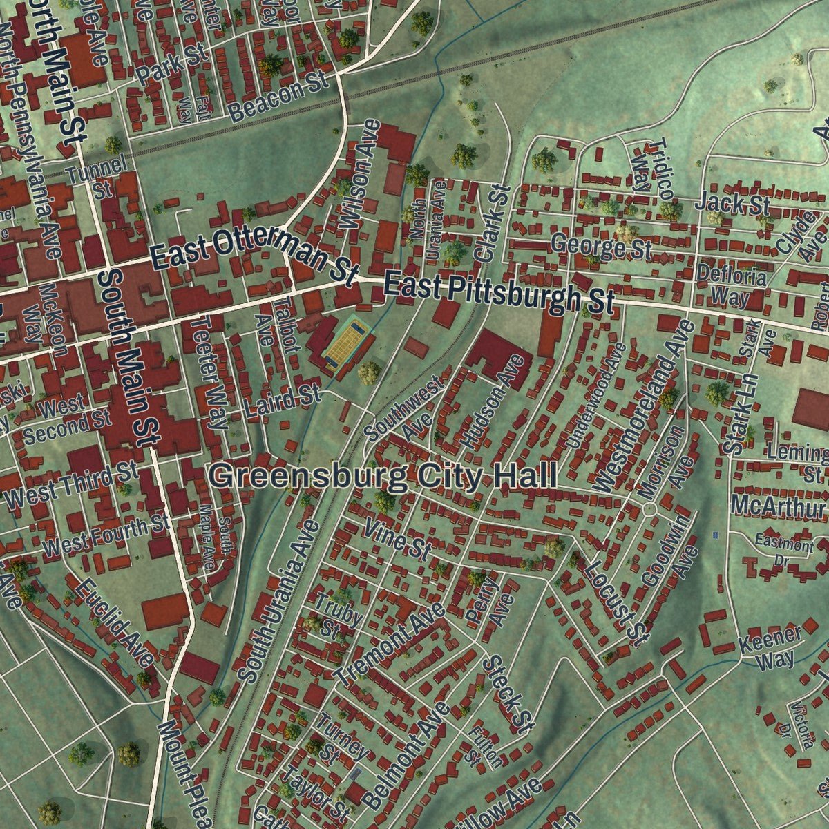
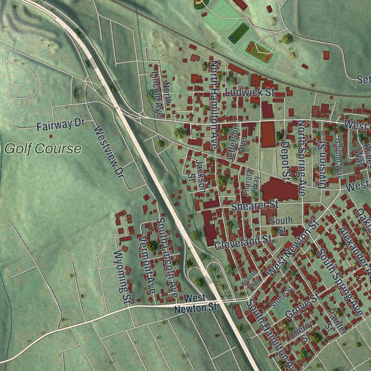
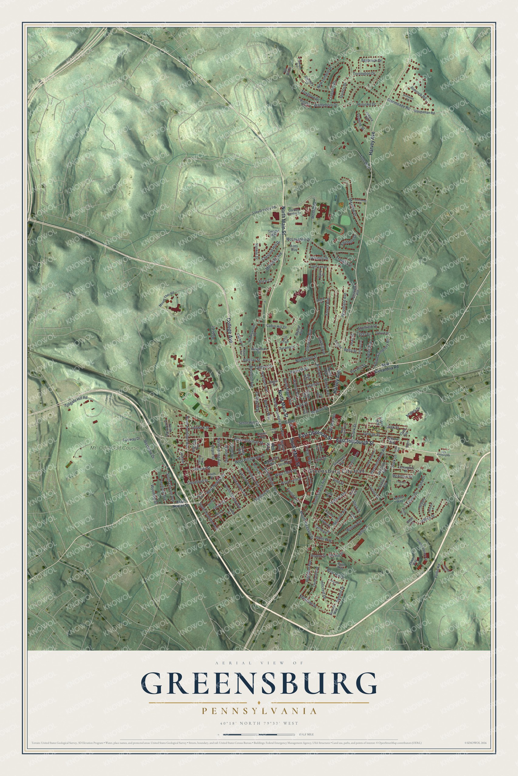
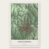
Explore Greensburg, Pennsylvania from a whole new perspective. Created using aerial imagery and detailed geographic data, this map captures Greensburg building by building, with labeled streets, familiar landmarks, and shaded topographical relief that highlights the natural contours of the landscape.
Combining modern data with the timeless character of a vintage atlas, this map is just as interesting up close as it is beautiful on the wall. Whether you grew up in Greensburg, spent memorable years there, or call it home today, this unique map is a great way to celebrate a place that means something to you. Zoom in on the preview to look for your street, and then order a print to put your memories on the wall.
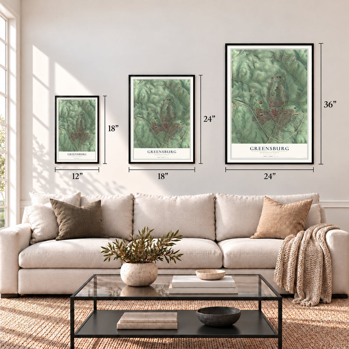
Three ways to hang it
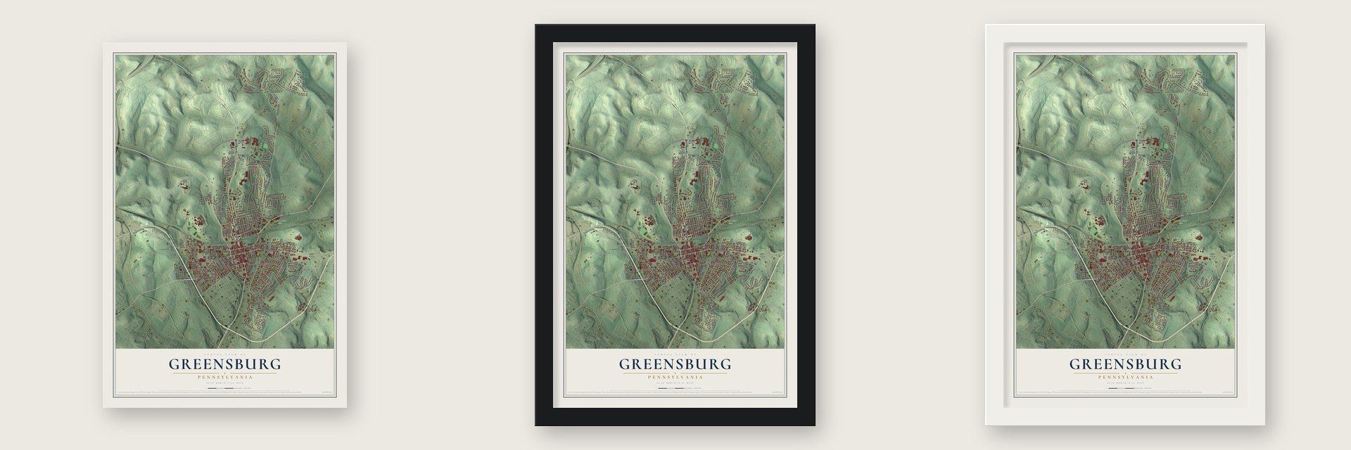
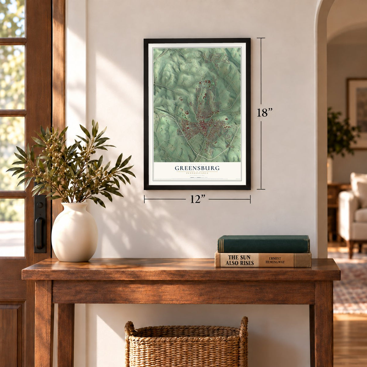
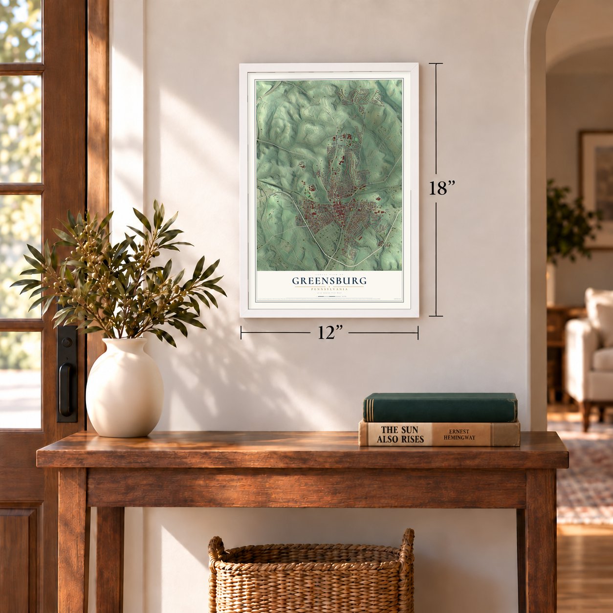
Unframed archival matte, a black wood frame or a white wood frame.
Up close
Geography Worth Displaying
This map was created using accurate cartographic data and authoritative geographic sources, including the U.S. Geological Survey and the Census Bureau. The map brings together terrain, waterways, roads, and building detail. The majority of the streets are labeled, houses are accurately depicted, and the topography is derived from government sources. Combining local data with carefully composed color and shading leads to this beautifully detailed Greensburg artwork for your wall.
Rather than simply showing street outlines, we’ve included as many of the street names as we could reasonably fit on the map while keeping their names legible. Zoom in on the high resolution preview to see exactly what’s on the map. We truly set out to create a statement piece for anyone who loves Greensburg. So whether it’s for you, or a gift for someone you love, we hope this map of Greensburg brings back fond memories.
Read the story behind this map of Greensburg, Pennsylvania from 2026.
Find your street
Names on the Greensburg map
Every name below is printed on this map. Look for your street, your school, the park where you played, or the pond down the road.
Places and landmarks3
- Greensburg City Hall
- Lynch Field Park
- Mt. Odin Golf Course
Streets and roads202
- College Avenue
- East Pittsburgh Street
- South Main Street
- East Otterman Street
- Harvey Avenue
- North Main Street
- West Otterman Street
- West Newton Street
- Westmoreland Avenue
- Westminster Avenue
- Hillcrest Drive
- Chestnut Hill Drive
- Stark Lane
- Vermont Avenue
- Tyger Drive
- South Hamilton Avenue
- Summit Drive
- Briar Hill Drive
- Seton Hill Drive
- Locust Street
- North Hamilton Avenue
- South Spring Avenue
- Highland Avenue
- Brattleboro Drive
- North Maple Avenue
- Mennel Drive
- West Pittsburgh Street
- Glenview Avenue
- Forest Avenue
- Northmont Street
Show all 202 streets
- South Urania Avenue
- Cabin Hill Drive
- Euclid Avenue
- Mount Pleasant Street
- Stanton Street
- Tremont Avenue
- North Pennsylvania Avenue
- Harrison Avenue
- New London Drive
- McLaughlin Drive
- Yont Way
- Saybrook Drive
- Kenneth Street
- Jack Street
- George Street
- Union Cemetery Road
- Grant Street
- Sells Lane
- Belmont Avenue
- Grove Street
- Shearer Street
- Meadow Drive
- Teeter Way
- West Third Street
- Vine Street
- Arch Avenue
- Park Street
- Rimrock Road
- Glenmeade Road
- Jeffrey Street
- Tollgate Hill Road
- Brushton Avenue
- Steck Street
- Foxglove Drive
- Walnut Avenue
- South Lincoln Avenue
- Oakland Avenue
- Keystone Street
- Willow Avenue
- Cleveland Street
- Alexander Avenue
- Laurel Drive
- Seminary Avenue
- Ludwick Street
- Burkley Way
- Alice Circle
- Waverly Drive
- Fox Hill Street
- Barclay Street
- Sheffield Drive
- Holyoke Drive
- Clopper Street
- Orchard Avenue
- Beacon Street
- Cranston Drive
- Moreland Avenue
- Depot Street
- Franklin Drive
- Helen Avenue
- North Spring Avenue
- Quincy Drive
- Coshey Way
- Division Street
- Hope Court
- Woodland Avenue
- Laird Street
- Wilson Avenue
- Westview Drive
- Torrington Drive
- Luzerne Street
- Fairway Drive
- Bella Street
- Unity Way
- Wyoming Street
- Oakhill Avenue
- Pellis Road
- Angela Drive
- McArthur Drive
- Edinboro Drive
- Kunkle Drive
- Jean Street
- Clark Street
- Dornin Street
- Dana Drive
- Bell Way
- New Alexandria Road
- Morrison Avenue
- Summit Way
- West Second Street
- Lemington Street
- Sycamore
- Southwest Avenue
- Waugaman Road
- Hawksworth Road
- Center Avenue
- Defloria Way
- Towne Square Drive
- Painter Street
- Locust Valley Road
- Brown Avenue
- Jefferson Avenue
- Holmes Way
- Danbury Drive
- Garden Center Drive
- Bair Way
- Loor Way
- Goodwin Avenue
- West Fourth Street
- Ohara Street
- Indiana Avenue
- Perry Avenue
- Treager Way
- Redmerski Way
- Mount Thor Road
- Hickory Drive
- Hudson Avenue
- McKeon Way
- Klines Way
- Cherry Street
- North Lincoln Avenue
- Morey Place
- Baughman Street
- Lynn Lee Drive
- Bel Air Drive
- Tower Way
- Barry Court
- Oakhill Lane
- Catherine Street
- Wayne Avenue
- Bush Way
- Eastview Avenue
- Talbot Avenue
- Bayard Avenue
- Clyde Avenue
- Truby Street
- Tunnel Street
- South Street
- Jackson Street
- Turney Street
- Oxford Drive
- Reamer Street
- Taylor Street
- Curtis Road
- Tridico Way
- Potts Way
- Keener Way
- Short Street
- Gaither Way
- Stark Avenue
- Finfrock Way
- Underwood Avenue
- Fulton Street
- Florence Street
- Stone Street
- North Urania Avenue
- Shuey Avenue
- Beech Street
- Robert Street
- Winston Way
- Farview Road
- South Maple Avenue
- Fajt Way
- Eastmont Drive
- Tunnel Avenue
- Krause Way
- Beechwood Drive
- Longview Street
- Hemlock Street
- Greenleaf Avenue
- Northwood Road
- Lawnview Way
- Victoria Drive
Names are listed as they appear on the printed map. Zoom into the product photos to find them.
About Greensburg, Pennsylvania
Greensburg is a city of 14,976 people and the seat of Westmoreland County, 30 miles southeast of Pittsburgh. The county's first seat was Hannastown, but in 1782 "Indians and Tories" attacked it and burned it, and county leaders began looking for a new home for their government. On December 10, 1785, they agreed with Christopher Truby and William Jack to buy two acres of Newtown land for public buildings, and Ludwick Otterman later joined the deal.
Court met for the first time in Newtown on January 7, 1787. The settlement that grew up around the courthouse took the name of Nathanael Greene, the Revolutionary War general, and some early papers spelled it Greenesburgh. On February 9, 1799, Greensburg became the first incorporated borough in the county, and on January 2, 1928, it became a City of the Third Class.
- Four courthouses, one lotGreensburg's first courthouse and jail shared one building of logs and planks, and the jail side had a heavy stone wall that rose well above the ground. A two-story brick courthouse had replaced it by 1801, and the county later raised its fourth courthouse on that same lot. The Westmoreland County Courthouse joined the National Register in 1978.
- Coal from the Pittsburgh SeamThe city sits near the Pittsburgh Seam, a deep bed of bituminous coal. After the Pennsylvania Railroad reached Greensburg in 1902, mining and coke making for the steel mills drove the local economy. The Keystone Coal and Coke Company, founded that same year, ran some 15 mines in and around town, and every one of them had closed by the 1960s. The Greensburg Railroad Station joined the National Register in 1977.
- The Sisters of Seton HillMother Aloysia Lowe and a group of sisters came from Cincinnati and founded the Sisters of Charity of Seton Hill in 1870, settling in Greensburg for good in 1882. Their St. Joseph's Academy became Seton Hill College, a four-year school for women, in 1918, and it is now Seton Hill University. The sisters went on to serve over 100 schools in 12 states, and in 1960 they took their work to Korea.
- Pro football in the 1890sFrom 1890 to 1900 the Greensburg Athletic Association fielded one of the first professional football teams in the country. Baseball followed: the Greensburg Red Sox played a single season in the Class D Western Pennsylvania League in 1907, and the Greensburg Red Wings played Class D ball here from 1934 to 1939.
Keep exploring Pennsylvania
Greensburg is one of 3,725 Pennsylvania towns we've mapped. Every dot on the map is a print of its own.
The search covers every state, Pennsylvania first.
Near Greensburg
Order 2 or more town maps and save 10%. Shown in the size and finish you picked above, so they hang as a set.
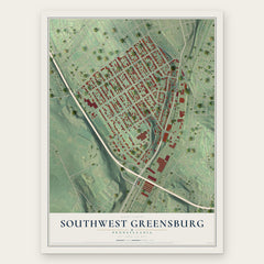
- Southwest Greensburg 12" x 18" / Archival Matte Print $39.99
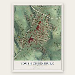
- South Greensburg 12" x 18" / Archival Matte Print $39.99
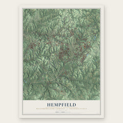
- Hempfield 12" x 18" / Archival Matte Print $39.99
More maps nearby: Fort Allen, Grapeville, Jeannette, Youngwood and Penn Borough.
The art of mapping a place
How This Map Was Made
Real places. Remarkable detail. Discover the layers that turn geographic data into a map of home.

The view from above
Aerial imagery reveals the character of the land: woodland, open fields, and the patterns of a place.

The shape of the land
Elevation data brings hills, valleys, and subtle changes in the landscape into view.

The details of home
Roads, waterways, and building footprints come together to make the map feel unmistakably local.

Geography becomes art
Considered color, shading, and typography bring the layers together in a map made for your wall.


Process illustrated with Mendon, Massachusetts. Aerial imagery: USDA NAIP. Terrain: USGS 3D Elevation Program. Map details and finished artwork: KNOWOL.
The Details
About This Print
Choose an archival matte print, or a black or white Ayous wood frame. The archival matte print is unframed.
Select your size and finish above to see the matching product image and price.
Materials & Craftsmanship
A contemporary map with the character of a classic atlas, printed on archival matte paper. Optional frames are made from Ayous wood.
Your printed map does not include the watermark shown in the full-map preview.
Shipping & Delivery
Free shipping within the United States. Every print is made to order in the USA.
Buying a gift? Add a note in your cart and we'll include it. We never put prices in the package.
Prints ship within 2 to 3 business days. Allow 7 to 10 days total from ordering for delivery. Timing may vary during holidays or periods of high order volume.
Read our shipping policy.
Returns and damaged prints
Each print is made to order. Change-of-mind refunds are not available after production.
If your print arrives damaged, misprinted or incorrect, contact support@knowol.com within 30 days of receiving it. Include your order number, photos and a description of the issue.
Read our full refund and replacement policy. For questions about your order, email support@knowol.com.