
Search for another town

Free U.S. delivery 7 to 10 days after you order
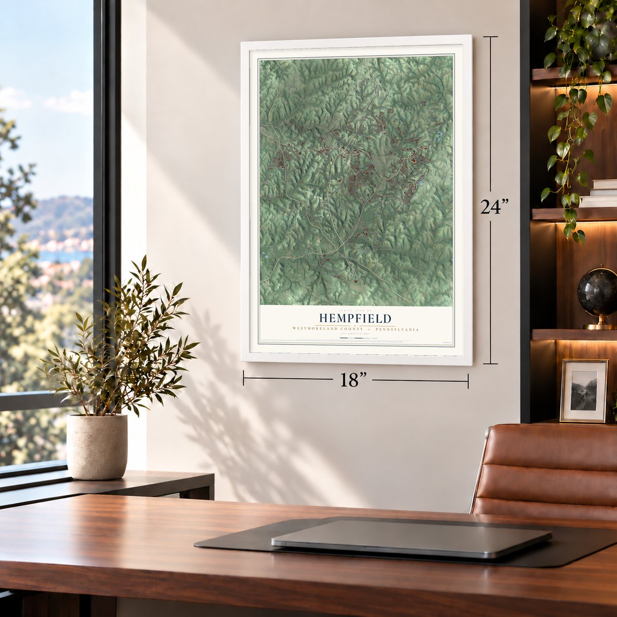
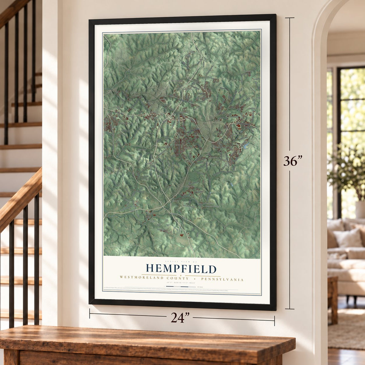
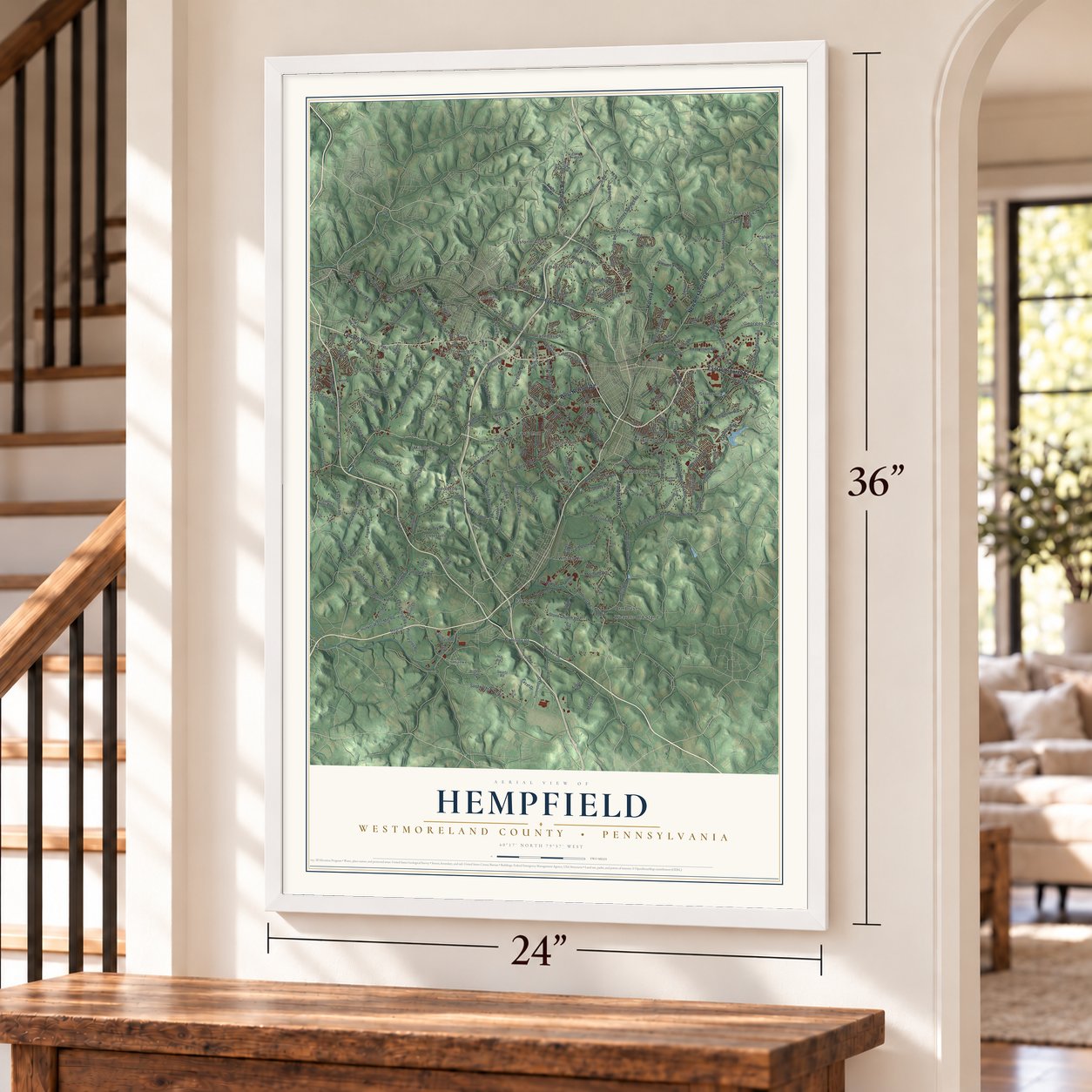
Hempfield, Westmoreland County, Pennsylvania Map Art
Building by building, with labeled streets and shaded relief.
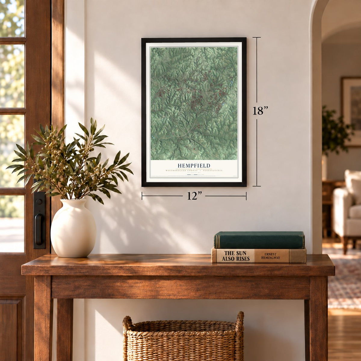
12" x 18" Archival Matte Print
A Map of Home. A Work of Art.
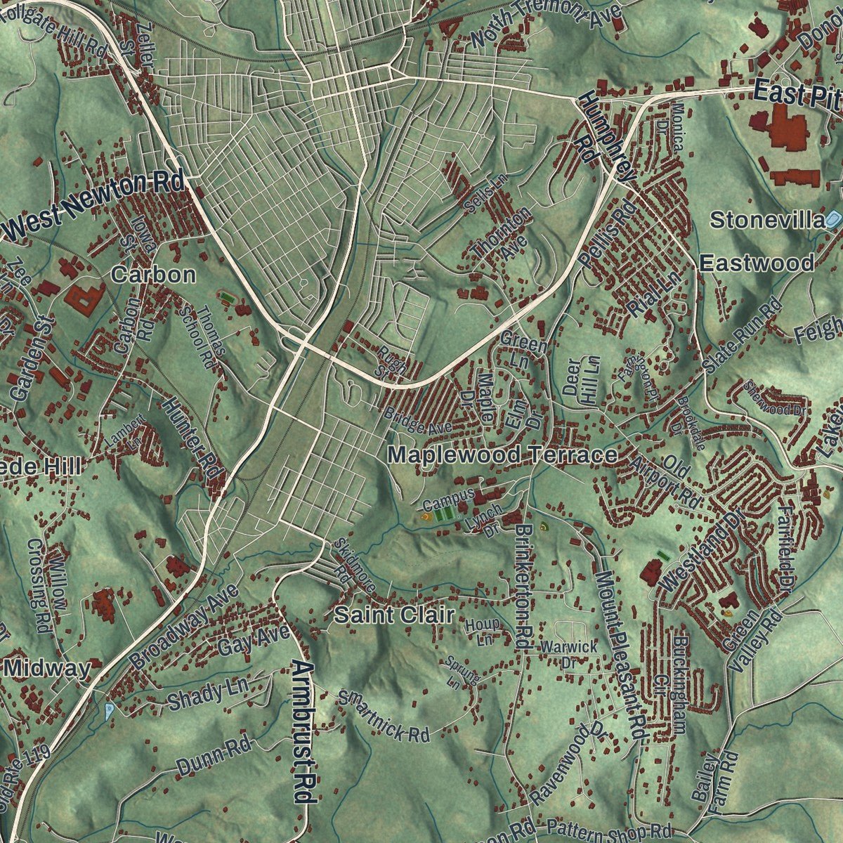
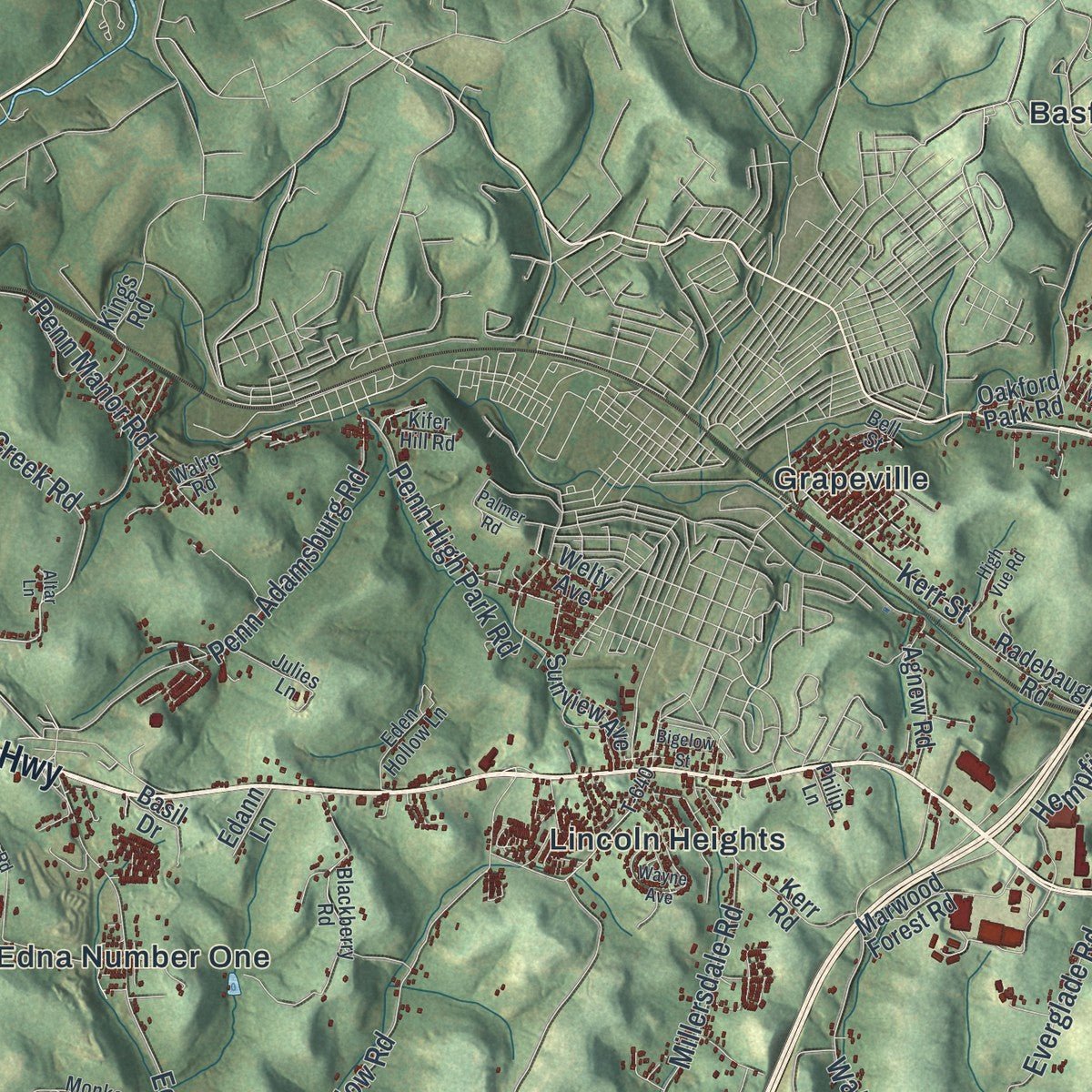
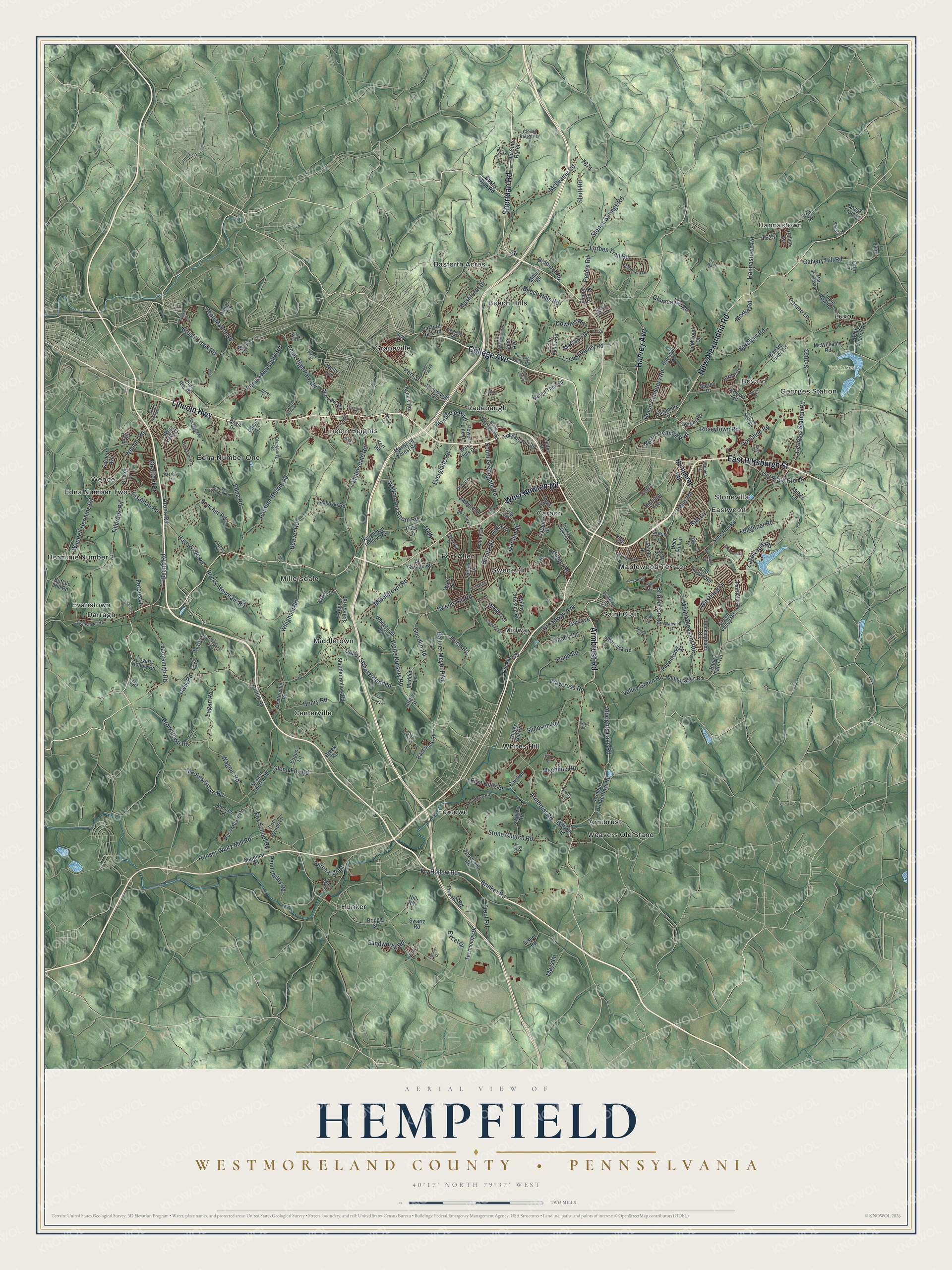
Explore Hempfield, Westmoreland County, Pennsylvania from a whole new perspective. Created using aerial imagery and detailed geographic data, this map captures Hempfield building by building, with labeled streets, familiar landmarks, and shaded topographical relief that highlights the natural contours of the landscape.
Combining modern data with the timeless character of a vintage atlas, this map is just as interesting up close as it is beautiful on the wall. Whether you grew up in Hempfield, spent memorable years there, or call it home today, this unique map is a great way to celebrate a place that means something to you. Zoom in on the preview to look for your street, and then order a print to put your memories on the wall.
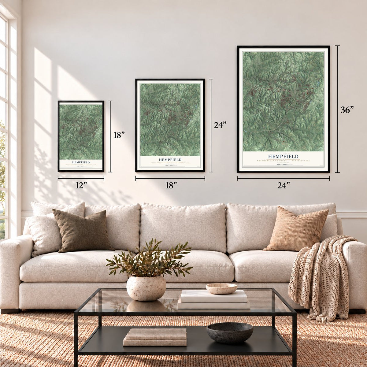
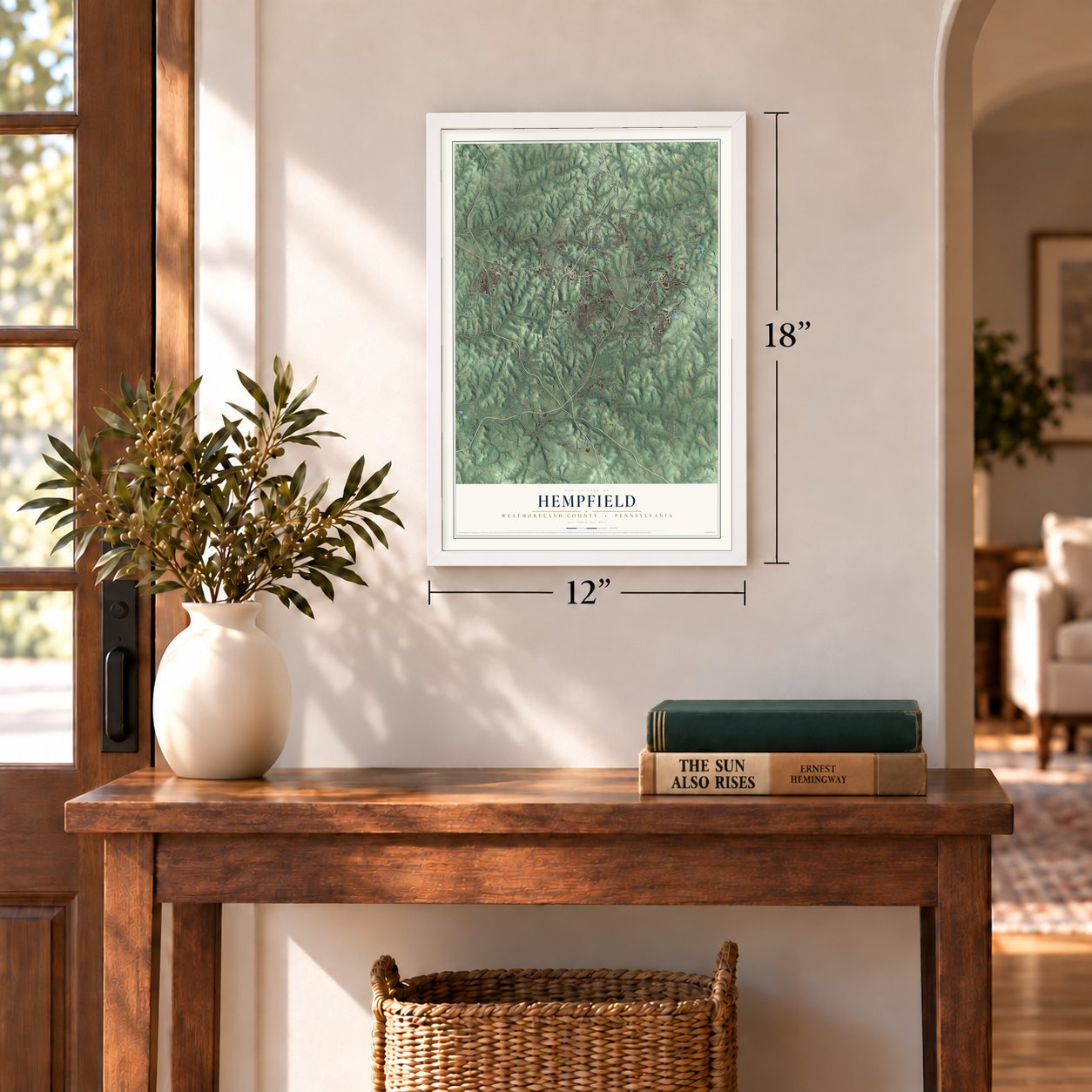
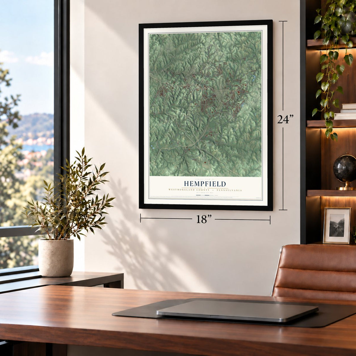
Three ways to hang it
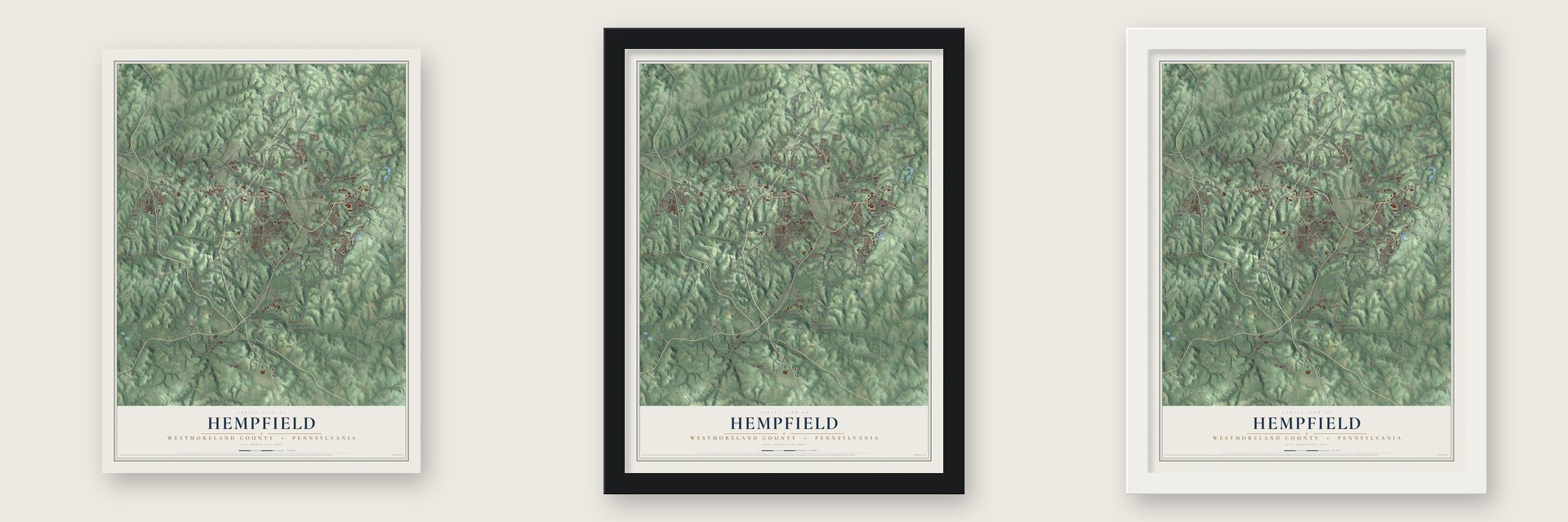
Unframed archival matte, a black wood frame or a white wood frame.
Up close
Geography Worth Displaying
This map was created using accurate cartographic data and authoritative geographic sources, including the U.S. Geological Survey and the Census Bureau. The map brings together terrain, waterways, roads, and building detail. The majority of the streets are labeled, houses are accurately depicted, and the topography is derived from government sources. Combining local data with carefully composed color and shading leads to this beautifully detailed Hempfield artwork for your wall.
Rather than simply showing street outlines, we’ve included as many of the street names as we could reasonably fit on the map while keeping their names legible. Zoom in on the high resolution preview to see exactly what’s on the map. We truly set out to create a statement piece for anyone who loves Hempfield. So whether it’s for you, or a gift for someone you love, we hope this map of Hempfield brings back fond memories.
Read the story behind this map of Hempfield, Westmoreland County, Pennsylvania from 2026.
Find your street
Names on the Hempfield map
Every name below is printed on this map. Look for your street, your school, the park where you played, or the pond down the road.
Places and landmarks32
- Twin Lakes Park
- Armbrust
- Basforth Acres
- Beech Hills
- Bovard
- Carbon
- Centerville
- Darragh
- Eastwood
- Edna Number One
- Edna Number Two
- Evanstown
Show all 32 places
- Fort Allen
- Foxtown
- Georges Station
- Grapeville
- Hannastown
- Herminie Number 2
- Hunker
- Lincoln Heights
- Luxor
- Maplewood Terrace
- Middletown
- Midway
- Millersdale
- Radebaugh
- Saint Clair
- Stonevilla
- Swede Hill
- Weavers Old Stand
- Wendel
- Whites Hill
Streets and roads283
- Sheridan Road
- Armbrust Road
- West Newton Road
- Lincoln Highway
- East Pittsburgh Street
- New Alexandria Road
- College Avenue
- Harvey Avenue
- Depot Street Extended
- Hunker Waltz Mill Road
- Albrights Lake Road
- Wolfe Nursery Road
- Baltzer Meyer Pike
- Swede Hill Road
- Brush Creek Road
- South Greengate Road
- Penn Manor Road
- Wagner Road
- Wendel Road
- Wendell Hermine Road
- Browntown Road
- Moores Grove Road
- Hempfield Boulevard
- Middletown Road
- Arona Road
- Forbes Trail Road
- Beaver Road
- Fry Hollow Road
- Mount Pleasant Road
- Walton Tea Room Road
Show all 283 streets
- Millersdale Road
- Possum Hollow Road
- Edna Road
- Georges Station Road
- Tillbrook Road
- Stone Church Road
- Beech Hills Road
- Whigham Road
- Donohoe Road
- Rocky Mountain Road
- Penn High Park Road
- Brinkerton Road
- Shady Lane
- Westland Drive
- Penn Adamsburg Road
- Brinker Road
- Penn Valley Road
- Roseytown Road
- Kerr Street
- Barnhart Road
- Everglade Road
- Simpson Road
- McIlvaine Road
- Beeno Road
- Calvary Hill Road
- Ladysmith Road
- Logan Road
- Shutt Road
- Locust Valley Road
- Old State Route 30
- Sr1053
- Dunn Road
- Henry Road
- Stoney Springs Road
- Waycross Road
- Valley Green Road
- Cameo Lane
- East Hillis Street
- Peters Road
- Garden Street
- Union Cemetery Road
- Feightner Road
- Hannastown Road
- Eisaman Road
- Broadway Avenue
- North Tremont Avenue
- Senchur Road
- Fox School Road
- Janyce Drive
- Lakewood Road
- Stratford Drive
- Hurst Road
- Glenmeade Road
- Bonita Drive
- Harry Long Road
- Pellis Road
- Goodlin Road
- McCabe Drive
- Excel Drive
- Sr3071
- Hunter Road
- Mechling Road
- Downes Road
- Glenn Fox Road
- Sandworks Road
- Bashforth Drive
- Trout Road
- Earnhardt Drive
- Martin Road
- Delmont Road
- Ferens Lane
- Mays Lane
- Gay Avenue
- Rial Lane
- Pivik Road
- Humphrey Road
- Armburt Brinkertown Road
- Racetrack Road
- Bovard Road
- Old Route 30
- Old State Route 66
- Carbon Road
- Bovard Luxor Road
- Willow Crossing Road
- Slate Run Road
- Shrader Hollow Road
- Seanor Church Road
- Oakford Park Road
- Radebaugh Road
- Sportsman Road
- Smartnick Road
- Technology Drive
- Baughman Hollow Road
- Bothwell Road
- Agnew Road
- Mount Thor Road
- Front Street
- Russ Moore Road
- Tollgate Hill Road
- Cribb Station Road
- Echo Valley Road
- Marginal Road
- Old Airport Road
- Maple Drive
- Marwood Forest Road
- McWilliams Road
- Buffalo Hill Road
- Old Route 119
- Corbett Avenue
- Lexington Drive
- Lindwood Drive
- Wren Drive
- Sunview Avenue
- Green Valley Road
- Pine Hill Road
- Pattern Shop Road
- Tipple Row Road
- Ravenwood Drive
- Whitehead Road
- Timber Trail Drive
- Ashley Drive
- Bailey Farm Road
- Sweitzer Road
- Elm Drive
- Tartan Drive
- Poverty Hollow Road
- Iowa Street
- Buckingham Circle
- Kerr Road
- Pavilion Lane
- Bus Garage Road
- White Church Road
- Glenn Avenue
- Whites Hill Road
- Sagamore Drive
- West Lake Drive
- West Hills Drive
- Centerville Road
- Fairfield Drive
- Laskoski Road
- Griffith Road
- Madden Lane
- Greek Road
- Adrian Drive
- Thornton Avenue
- Moores Lane
- Sioux Drive
- Milbee Lane
- Cool Winds Lane
- Equus Lane
- Deer Hill Lane
- Bridge Street
- Berger Road
- Power Line Drive
- Miller Road
- Basil Drive
- Bristol Lane
- Dayok Farm Lane
- Main Street
- Hill Road
- Crane Lane
- Zeller Street
- Kings Road
- Fisher Road
- Swartz Road
- Welty Avenue
- Pear Lane
- Alfery Street
- Sabota Road
- Edann Lane
- Pollins Avenue
- Surrey Drive
- Buck Lane
- Dell Drive
- Green Lane
- Orlo Lane
- Abell Lane
- Zee Lane
- Bushy Run Road
- Rugh Street
- North Greengate Road
- Monkey Wrench Road
- Trouttown Road
- Pleasant Valley Road
- Thomas School Road
- Skidmore Road
- Southfield Drive
- Mohawk Drive
- Blackberry Road
- Crows Nest Road
- Giovanni Lane
- T-776
- Chapel View Drive
- Clelian Heights Lane
- Warwick Drive
- Bridge Avenue
- T-640
- Bp Tank Lane
- Julies Lane
- Matt Shields Road
- Evanstown Road
- Poplar Drive
- Eden Hollow Lane
- Lynch Drive
- Houp Lane
- Rodina Lane
- Kifer Hill Road
- Campus
- Dunedin Drive
- Cody Road
- Monica Drive
- Sells Lane
- Conway Street
- Sunny Lane
- Merlin Lane
- Walro Road
- Lower Lane
- Philip Lane
- Bell Street
- Fosterville Road
- Bucktown Road
- Liberty Hill Road
- Farmington Place
- Country Club Drive
- Woodlawn Road
- Woodhaven Drive
- Lambert Lane
- Wayne Avenue
- Windgate Drive
- South Thompson Lane
- Sherwood Drive
- Tami Drive
- Brookdale Drive
- High Vue Road
- Justice Lane
- Windy Hollow Lane
- Palmer Road
- Hixson Lane
- Nature Nook Lane
- Bigelow Street
- Ligonier Drive
- Burak Street
- Sprung Lane
- Trolley Street
- Zoe Lane
- Dalton Lane
- Hugh Street
- Shuey Lane
- Troon Drive
- Tyson Lane
- Smith Road
- Sues Lane
- Altar Lane
Names are listed as they appear on the printed map. Zoom into the product photos to find them.
About Hempfield, Westmoreland County, Pennsylvania
Hempfield Township borrowed its name from Hempfield in Lancaster County. That older township was formed in 1729. It was named for the hemp fields that grew there. Today this Westmoreland County township is the largest suburb around Pittsburgh by population.
Keep exploring Pennsylvania
Hempfield is one of 3,725 Pennsylvania towns we've mapped. Every dot on the map is a print of its own.
The search covers every state, Pennsylvania first.
Near Hempfield
Order 2 or more town maps and save 10%. Shown in the size and finish you picked above, so they hang as a set.
- Fort Allen 12" x 18" / Archival Matte Print $39.99
- South Greensburg 12" x 18" / Archival Matte Print $39.99
- Southwest Greensburg 12" x 18" / Archival Matte Print $39.99
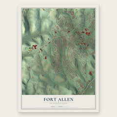
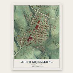
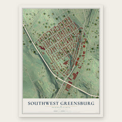
More maps nearby: Youngwood, Greensburg, Grapeville, Jeannette and Arona.
The art of mapping a place
How This Map Was Made
Real places. Remarkable detail. Discover the layers that turn geographic data into a map of home.

The view from above
Aerial imagery reveals the character of the land: woodland, open fields, and the patterns of a place.

The shape of the land
Elevation data brings hills, valleys, and subtle changes in the landscape into view.

The details of home
Roads, waterways, and building footprints come together to make the map feel unmistakably local.

Geography becomes art
Considered color, shading, and typography bring the layers together in a map made for your wall.


Process illustrated with Mendon, Massachusetts. Aerial imagery: USDA NAIP. Terrain: USGS 3D Elevation Program. Map details and finished artwork: KNOWOL.
The Details
About This Print
Choose an archival matte print, or a black or white Ayous wood frame. The archival matte print is unframed.
Select your size and finish above to see the matching product image and price.
Materials & Craftsmanship
A contemporary map with the character of a classic atlas, printed on archival matte paper. Optional frames are made from Ayous wood.
Your printed map does not include the watermark shown in the full-map preview.
Shipping & Delivery
Free shipping within the United States. Every print is made to order in the USA.
Buying a gift? Add a note in your cart and we'll include it. We never put prices in the package.
Prints ship within 2 to 3 business days. Allow 7 to 10 days total from ordering for delivery. Timing may vary during holidays or periods of high order volume.
Read our shipping policy.
Returns and damaged prints
Each print is made to order. Change-of-mind refunds are not available after production.
If your print arrives damaged, misprinted or incorrect, contact support@knowol.com within 30 days of receiving it. Include your order number, photos and a description of the issue.
Read our full refund and replacement policy. For questions about your order, email support@knowol.com.