
Search for another town


Free U.S. delivery 7 to 10 days after you order
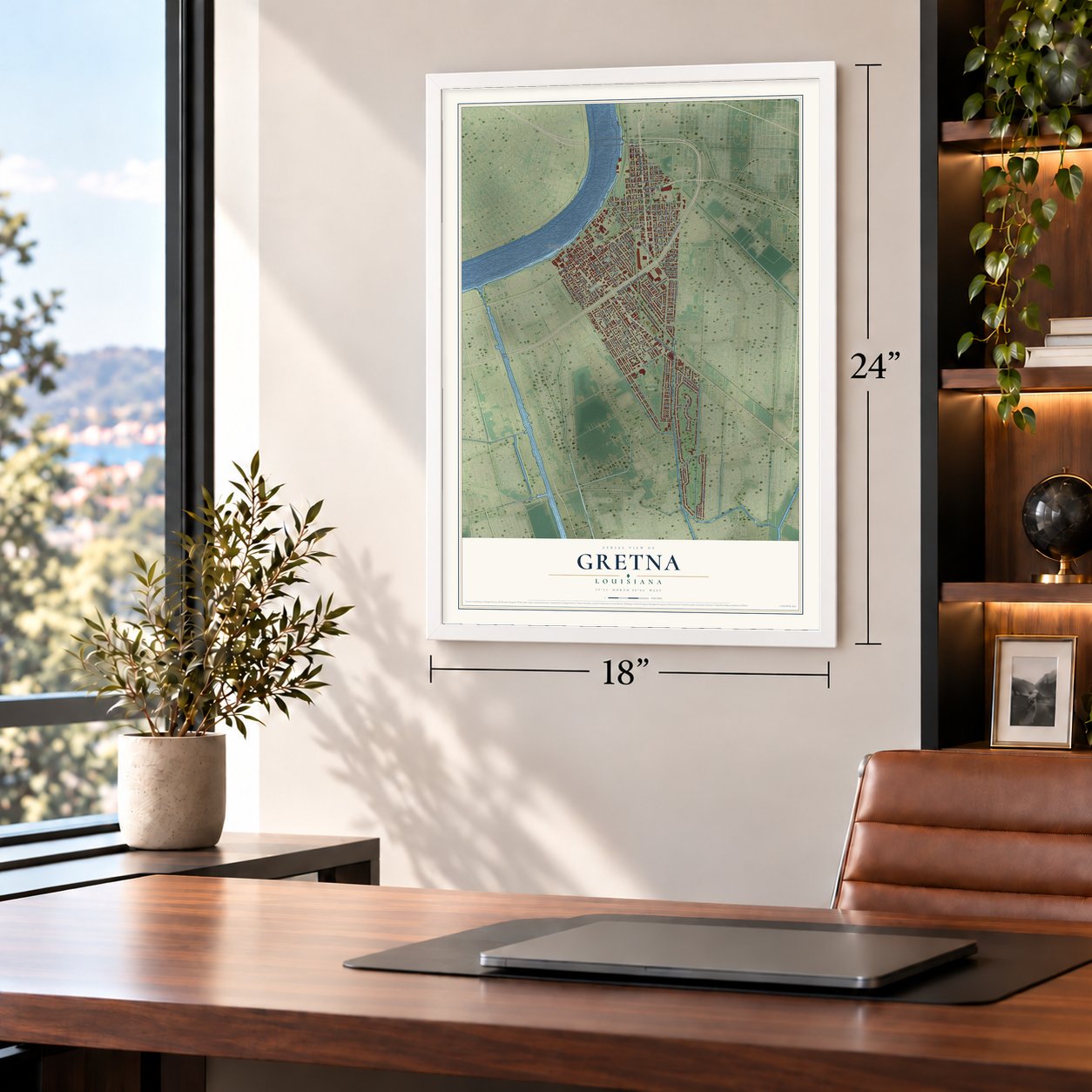
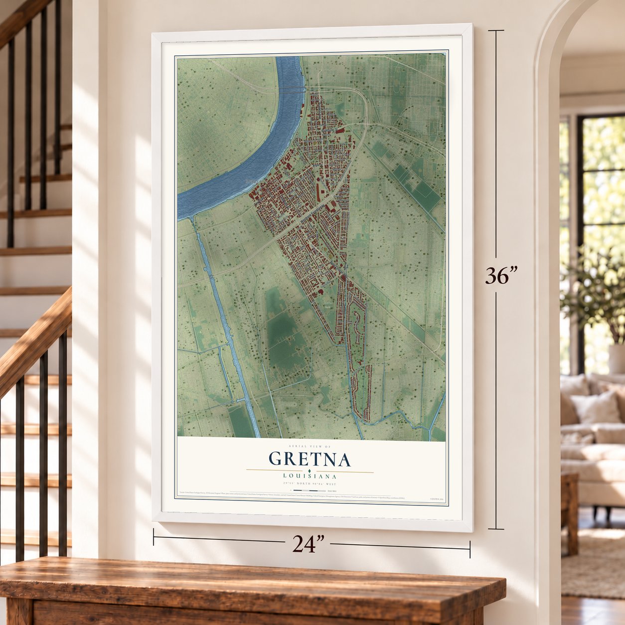
Gretna, Louisiana Map Art
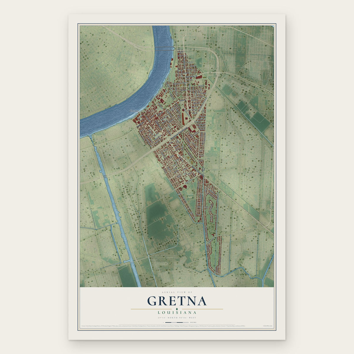
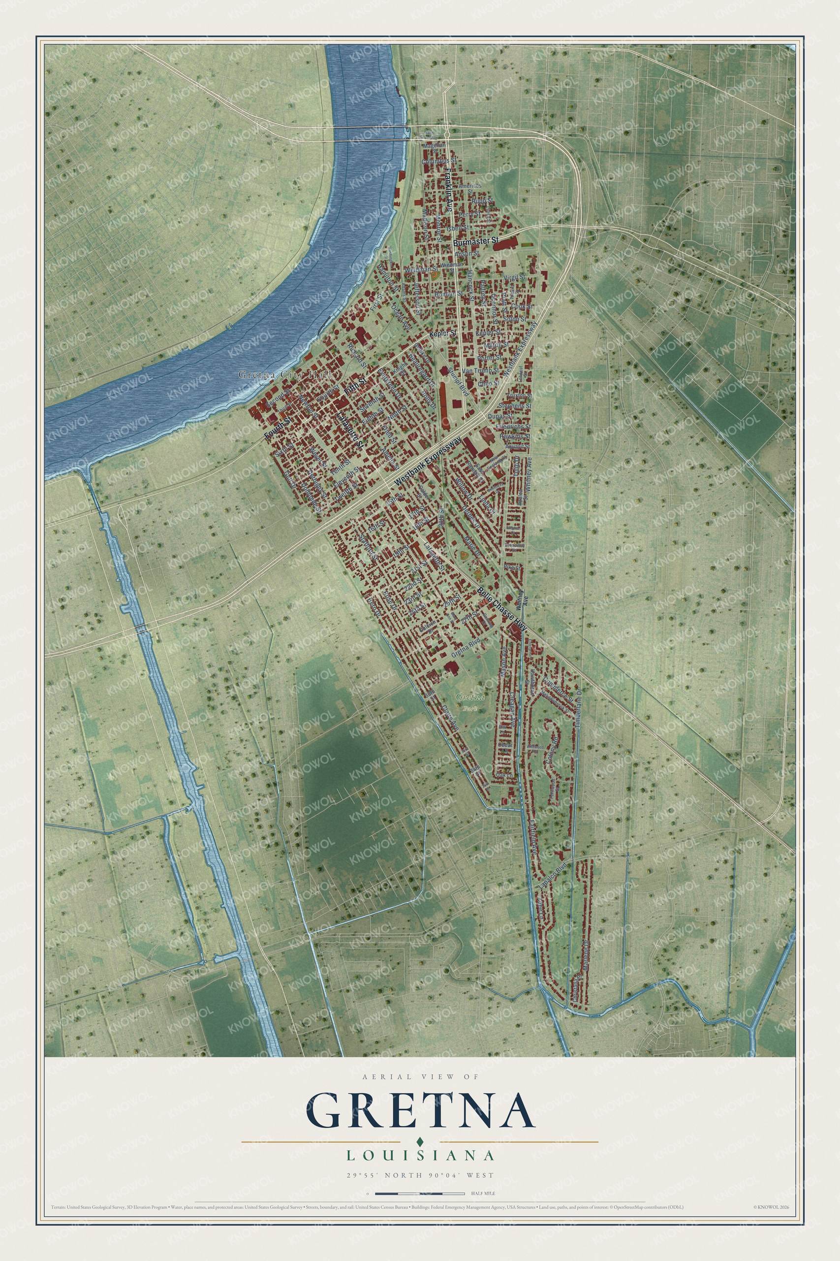
A new map of Gretna, Louisiana, made in 2026 and printed to order on thick archival matte paper.
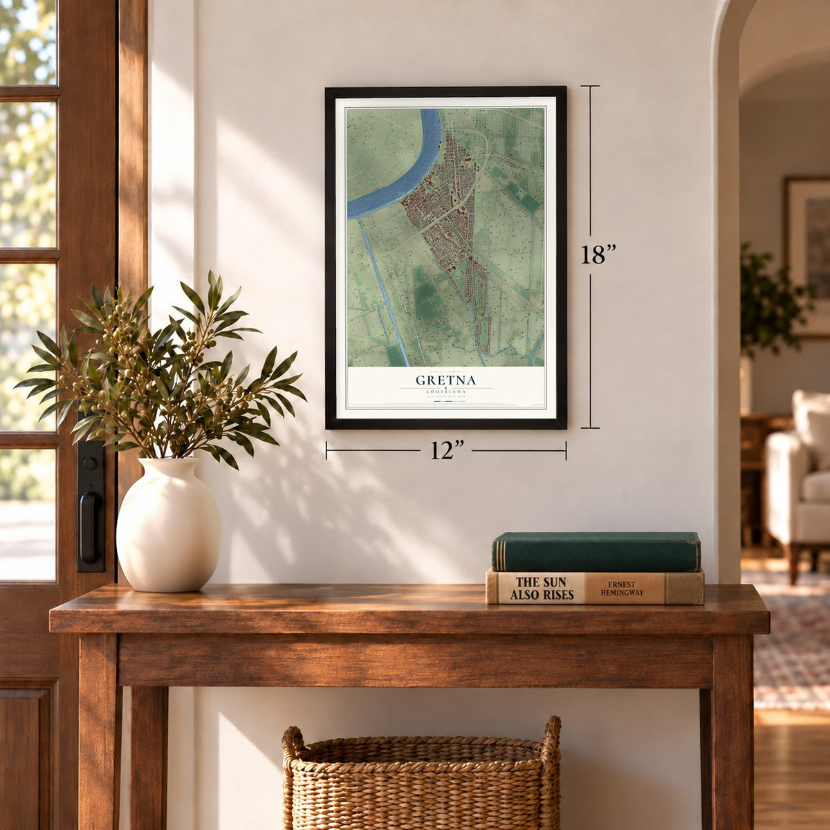
12" x 18" Archival Matte Print
A Map of Home. A Work of Art.
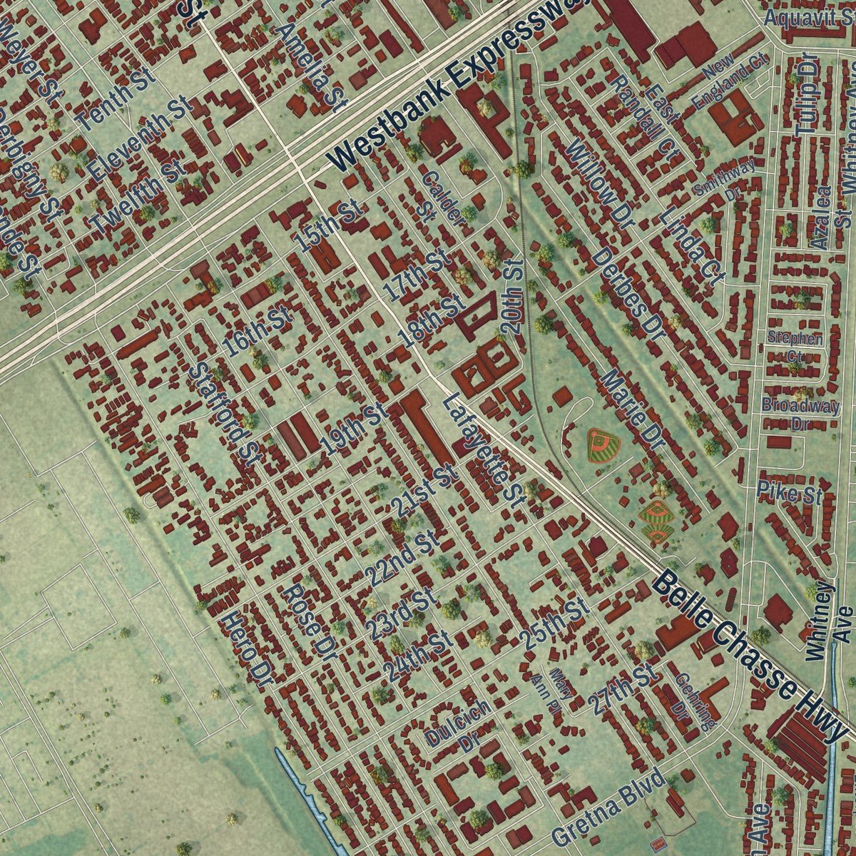
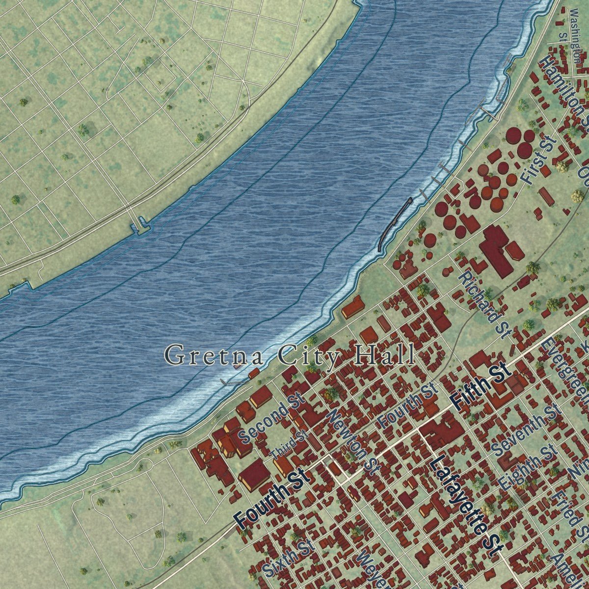
Explore Gretna, Louisiana from a whole new perspective. Created using aerial imagery and detailed geographic data, this map captures Gretna building by building, with labeled streets, familiar landmarks, and shaded topographical relief that highlights the natural contours of the landscape.
Combining modern data with the timeless character of a vintage atlas, this map is just as interesting up close as it is beautiful on the wall. Whether you grew up in Gretna, spent memorable years there, or call it home today, this unique map is a great way to celebrate a place that means something to you. Zoom in on the preview to look for your street, and then order a print to put your memories on the wall.
Three ways to hang it
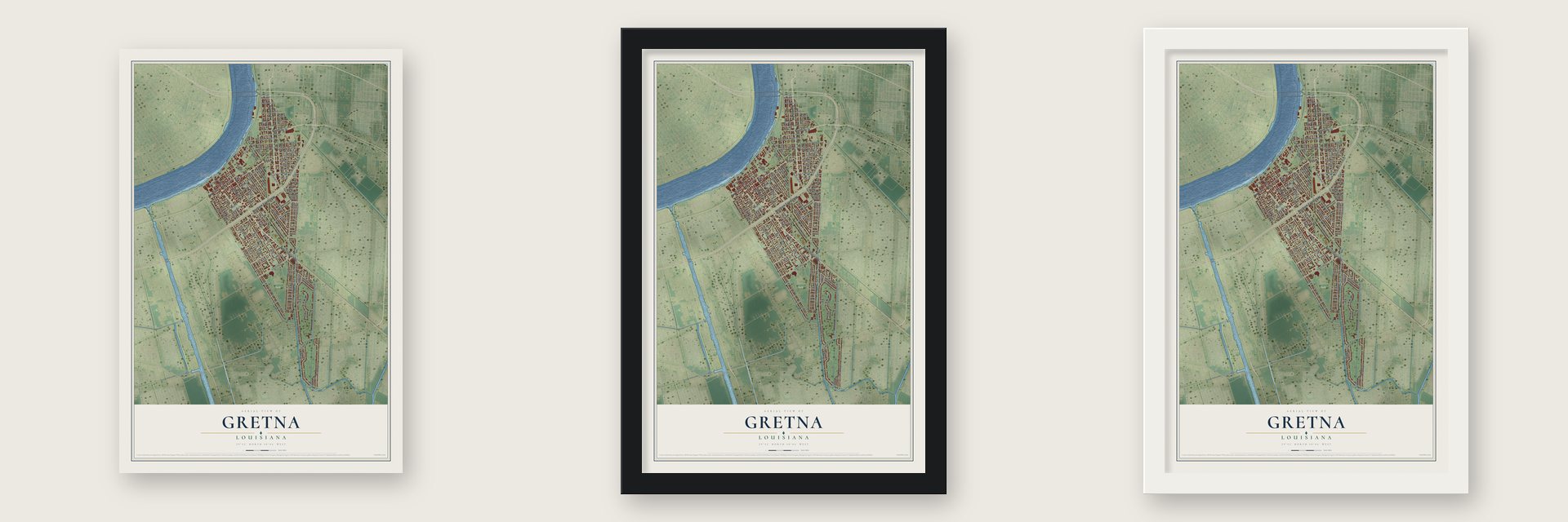
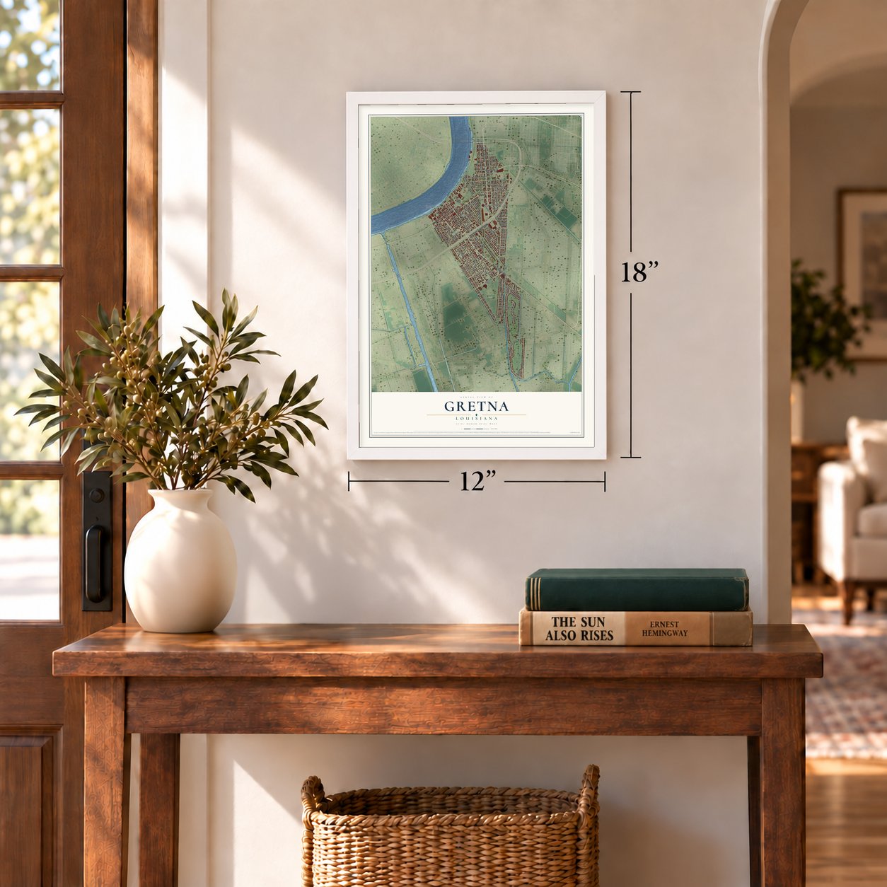
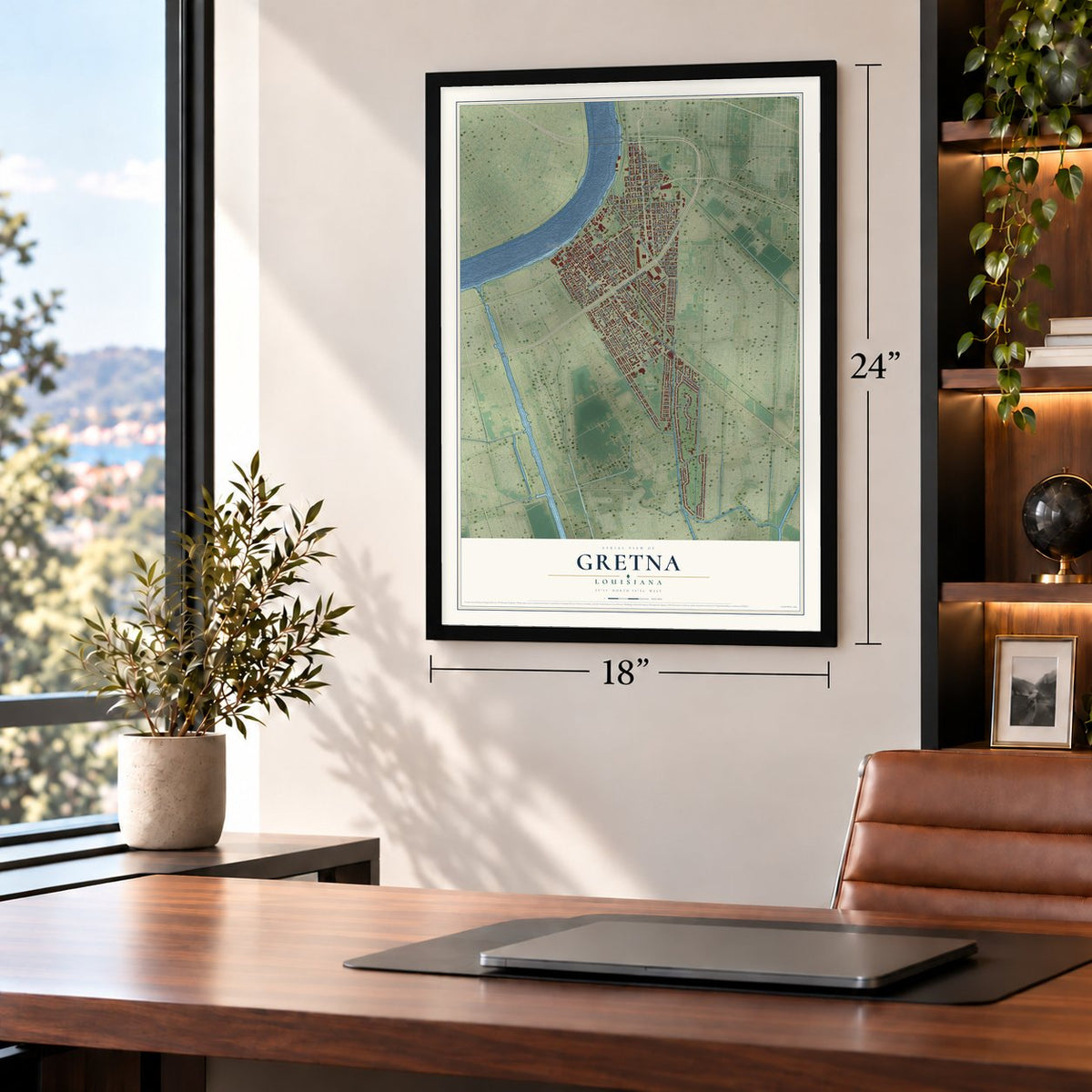
Unframed archival matte, a black wood frame or a white wood frame.
Up close
Geography Worth Displaying
This map was created using accurate cartographic data and authoritative geographic sources, including the U.S. Geological Survey and the Census Bureau. The map brings together terrain, waterways, roads, and building detail. The majority of the streets are labeled, houses are accurately depicted, and the topography is derived from government sources. Combining local data with carefully composed color and shading leads to this beautifully detailed Gretna artwork for your wall.
Rather than simply showing street outlines, we’ve included as many of the street names as we could reasonably fit on the map while keeping their names legible. Zoom in on the high resolution preview to see exactly what’s on the map. We truly set out to create a statement piece for anyone who loves Gretna. So whether it’s for you, or a gift for someone you love, we hope this map of Gretna brings back fond memories.
Read the story behind this map of Gretna, Louisiana from 2026.

About Gretna, Louisiana
Gretna is a city of 17,814 people and the seat of Jefferson Parish, on the west bank of the Mississippi River across from uptown New Orleans. The land was first a plantation that Jean-Charles de Pradel had set up by 1750, the year his house, Monplaisir, was built. John McDonogh bought the place in 1815, moved into the house and cut the rest into city lots and 30-arpent farm strips, which made McDonoghville the first subdivision in the parish.
Gretna itself was first settled in 1836 under the name Mechanikham, and in 1839 the St. Mary Market and Ferry Company laid out the town. A ferry carried people across the river to New Orleans, and the Missouri Pacific, Texas and Pacific and Southern Pacific railroads built stations on its riverfront. Gretna became the parish seat in 1884 and was incorporated as a city in 1913, taking in the part of McDonoghville inside Jefferson Parish. By 1940 the census counted 10,879 people.
- A fire hall for a courthouseWhen Gretna became the parish seat in 1884, the courts moved into the old William Tell Fire Hall, a two-story wooden building from around 1875 at Newton and Third streets, and stayed until 1907. In 1905 the parish chose a narrow site in the middle of Huey P. Long Avenue at Second Street for a three-story brick Beaux-Arts courthouse, with four Corinthian columns in front and a curved bay on each side tracing the courtroom's curved walls.
- City Hall since 1964A plain three-story annex was added behind the courthouse in 1929. In 1958 the parish moved its courts into a new nine-story green glass tower at Dolhonde and Third streets, designed by Claude Hooton and billed as the South's first big building made entirely of glass. The old courthouse was remodeled, keeping its round arches, and reopened as Gretna's city hall in 1964. The glass tower proved too costly to run and was torn down in 2008.
- Oil, barrels, brick and mossAn early parish history counted 3,500 people in Gretna and called it practically a suburb of New Orleans. Its factories turned out cotton seed oil, barrels, brick, moss and lumber. Lines of the Southern Pacific, Texas and Pacific, and New Orleans, Port Jackson & Grande Isle railroads all reached the river here, so the town was an important shipping point.
- Zatarain's since 1963The food and spice company Zatarain's was founded in New Orleans in 1889. It moved across the river to Gretna in 1963 and has stayed ever since.
- Oktoberfest on Huey P. LongThe German American Cultural Center was founded in 1988 at 519 Huey P. Long Avenue to tell the story of German immigrants in Louisiana through exhibits and lectures. It has hosted Maifest, and each year on the first weekend of October it holds a three-day Oktoberfest.
Find your street
Names on the Gretna map
Every name below is printed on this map. Look for your street, your school, the park where you played, or the pond down the road.
Places and landmarks2
- Gretna City Hall
- Gretna Park
Streets and roads126
- Franklin Avenue
- Westbank Expressway
- Fifth Street
- Burmaster Street
- Lafayette Street
- Belle Chasse Highway
- Fourth Street
- Stumpf Boulevard
- Kepler Street
- Gretna Boulevard
- Hancock Street
- Fairfield Avenue
- Whitney Avenue
- Claire Avenue
- Newton Street
- Willow Drive
- Weyer Street
- First Street
- Hero Drive
- Monroe Street
- Timberlane Drive
- Madison Street
- Eleventh Street
- Creagan Avenue
- 25th Street
- Marlene Drive
- Virgil Street
- Derbigny Street
- Fried Street
- Amelia Street
Show all 126 streets
- Mason Avenue
- Ninth Street
- Dolhonde Street
- Seventh Street
- Romain Street
- Anson Street
- Oconnor Street
- Sixth Street
- Cook Street
- Palfrey Street
- Eighth Street
- Lapalco Boulevard
- Tenth Street
- Richard Street
- Stafford Street
- 17th Street
- Solon Street
- Derbes Drive
- Jefferson Street
- Pratt Street
- Second Street
- Evergreen Drive
- Marie Drive
- Rose Drive
- 23rd Street
- Linda Court
- Perry Street
- 20th Street
- Twelfth Street
- 21st Street
- Weidman Street
- Hamilton Street
- Isbell Street
- Van Trump Street
- Colony Road
- Porter Street
- Ocean Avenue
- Milton Street
- 15th Street
- Holly Drive
- Commerce Street
- Rupp Street
- 19th Street
- 27th Street
- 16th Street
- Gulf Drive
- 18th Street
- Tulip Drive
- Beauregard Drive
- Chilo Street
- 24th Street
- 22nd Street
- Dupas Street
- Friedrichs Street
- Columbus Street
- Adee Lane
- Stephens Street
- Hawkins Street
- Wiedman Street
- Americus Street
- Azalea Street
- Calder Street
- Truxton Street
- Gelbke Drive
- East Randall Court
- Knight Street
- Hawthorne Street
- Christana Place
- Pike Street
- Magellan Street
- Aquavit Street
- Dulcich Drive
- Oak Lane
- Cedar Lane
- 30th Street
- 34th Street
- Third Street
- Leboeuf Street
- Theard Street
- Meadowbrook Street
- Adams Street
- Lilevy Street
- New England Court
- Broadway Drive
- Gehring Drive
- Fernwood Street
- Elm Lane
- Mardi Gras Boulevard
- Smithway Drive
- Washington Street
- Enterprise
- Wildwood Road
- Mary Ann Place
- Stephen Court
- 33rd Street
- 35th Street
Names are listed as they appear on the printed map. Zoom into the product photos to find them.
The art of mapping a place
How This Map Was Made
Real places. Remarkable detail. Discover the layers that turn geographic data into a map of home.

The view from above
Aerial imagery reveals the character of the land: woodland, open fields, and the patterns of a place.

The shape of the land
Elevation data brings hills, valleys, and subtle changes in the landscape into view.

The details of home
Roads, waterways, and building footprints come together to make the map feel unmistakably local.

Geography becomes art
Considered color, shading, and typography bring the layers together in a map made for your wall.


Process illustrated with Mendon, Massachusetts. Aerial imagery: USDA NAIP. Terrain: USGS 3D Elevation Program. Map details and finished artwork: KNOWOL.
The Details
About This Print
Choose an archival matte print, or a black or white Ayous wood frame. The archival matte print is unframed.
Select your size and finish above to see the matching product image and price.
Materials & Craftsmanship
A contemporary map with the character of a classic atlas, printed on archival matte paper. Optional frames are made from Ayous wood.
Your printed map does not include the watermark shown in the full-map preview.
Shipping & Delivery
Free shipping within the United States. Every print is made to order in the USA.
Buying a gift? Add a note in your cart and we'll include it. We never put prices in the package.
Prints ship within 2 to 3 business days. Allow 7 to 10 days total from ordering for delivery. Timing may vary during holidays or periods of high order volume.
Read our shipping policy.
Returns and damaged prints
Each print is made to order. Change-of-mind refunds are not available after production.
If your print arrives damaged, misprinted or incorrect, contact support@knowol.com within 30 days of receiving it. Include your order number, photos and a description of the issue.
Read our full refund and replacement policy. For questions about your order, email support@knowol.com.
Find your town
Looking for another city?
Find a map of home in our Louisiana collection, or any town in the country.
Nearby
Maps of towns near Gretna
Know someone from one of these towns? Their map makes a great gift.
 Terrytown
, Louisiana
From $39.99See the map
 Harvey
, Louisiana
From $39.99See the map
 St. Thomas Area - Lower Garden District
, Louisiana
From $39.99See the map
More maps nearby: Irish Channel, Garden District, East Riverside, Timberlane and Touro.