
Search for another town





Free U.S. delivery 7 to 10 days after you order
Groveland, Florida Map Art
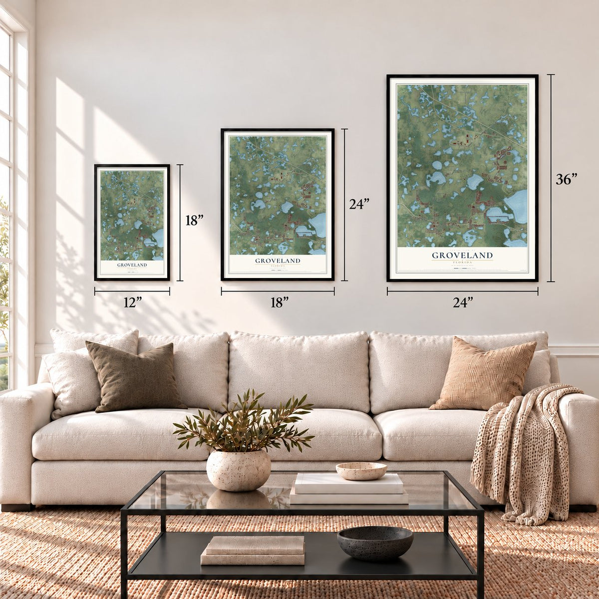
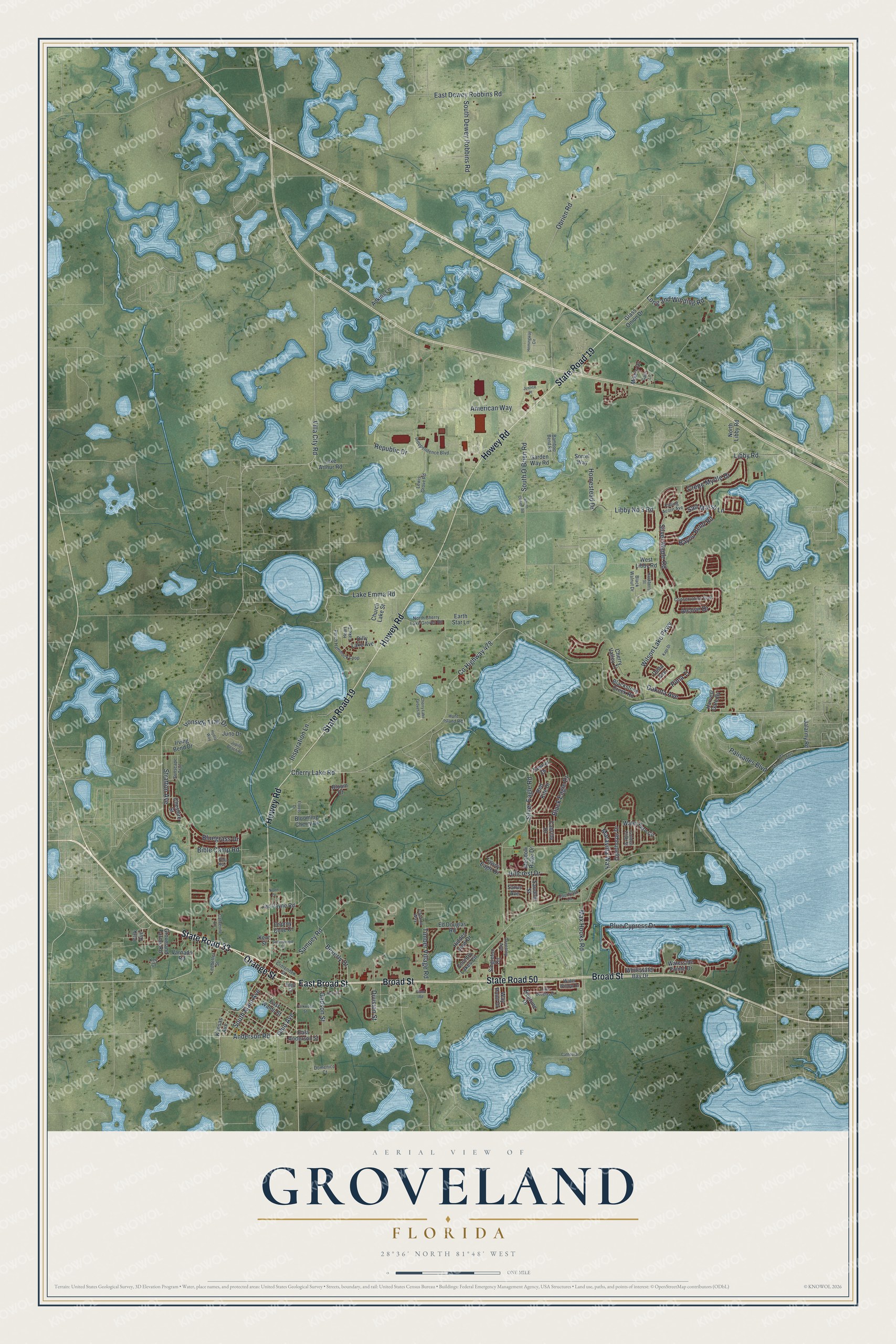
A new map of Groveland, Florida, made in 2026 and printed to order on thick archival matte paper.
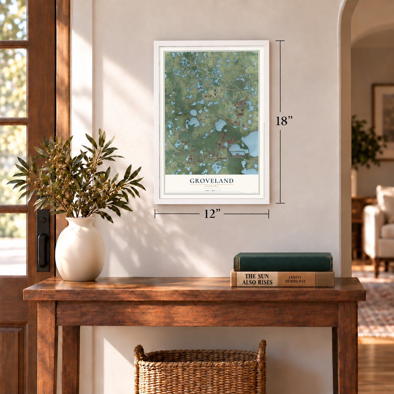
12" x 18" Archival Matte Print
A Map of Home. A Work of Art.
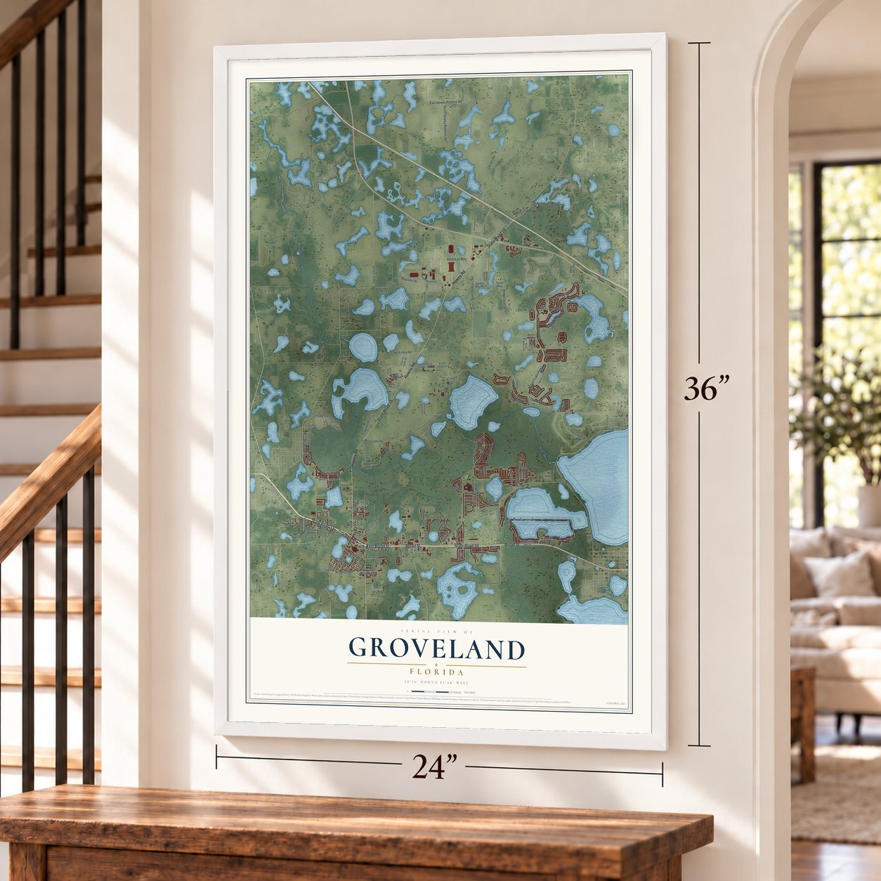
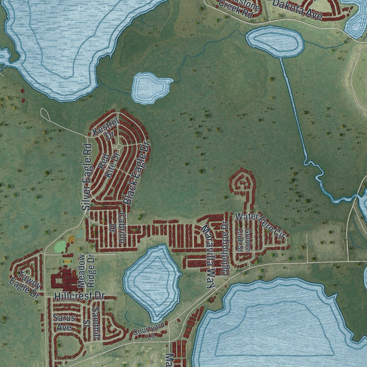
Explore Groveland, Florida from a whole new perspective. Created using aerial imagery and detailed geographic data, this map captures Groveland building by building, with labeled streets, familiar landmarks, and shaded topographical relief that highlights the natural contours of the landscape.
Combining modern data with the timeless character of a vintage atlas, this map is just as interesting up close as it is beautiful on the wall. Whether you grew up in Groveland, spent memorable years there, or call it home today, this unique map is a great way to celebrate a place that means something to you. Zoom in on the preview to look for your street, and then order a print to put your memories on the wall.
Three ways to hang it
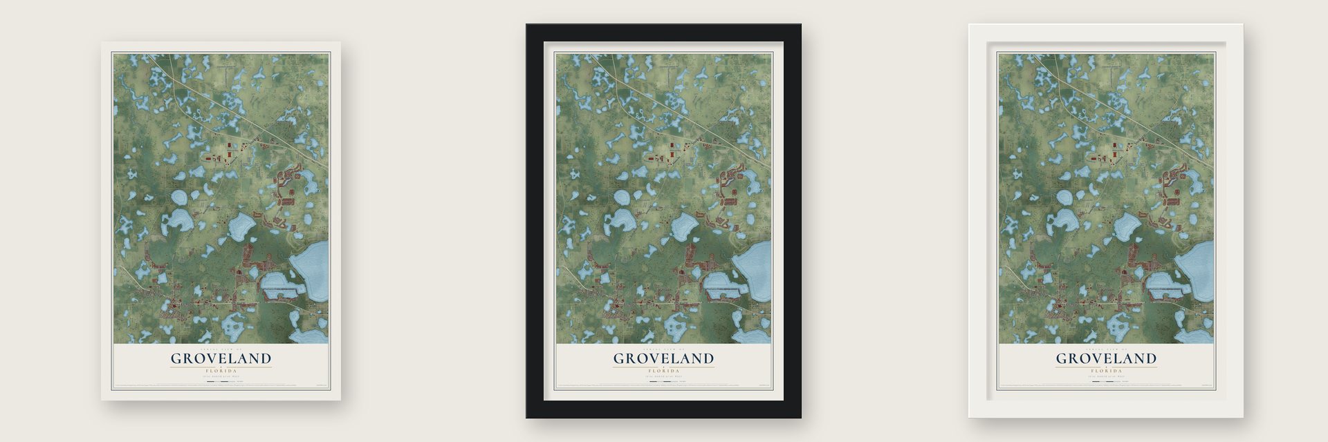
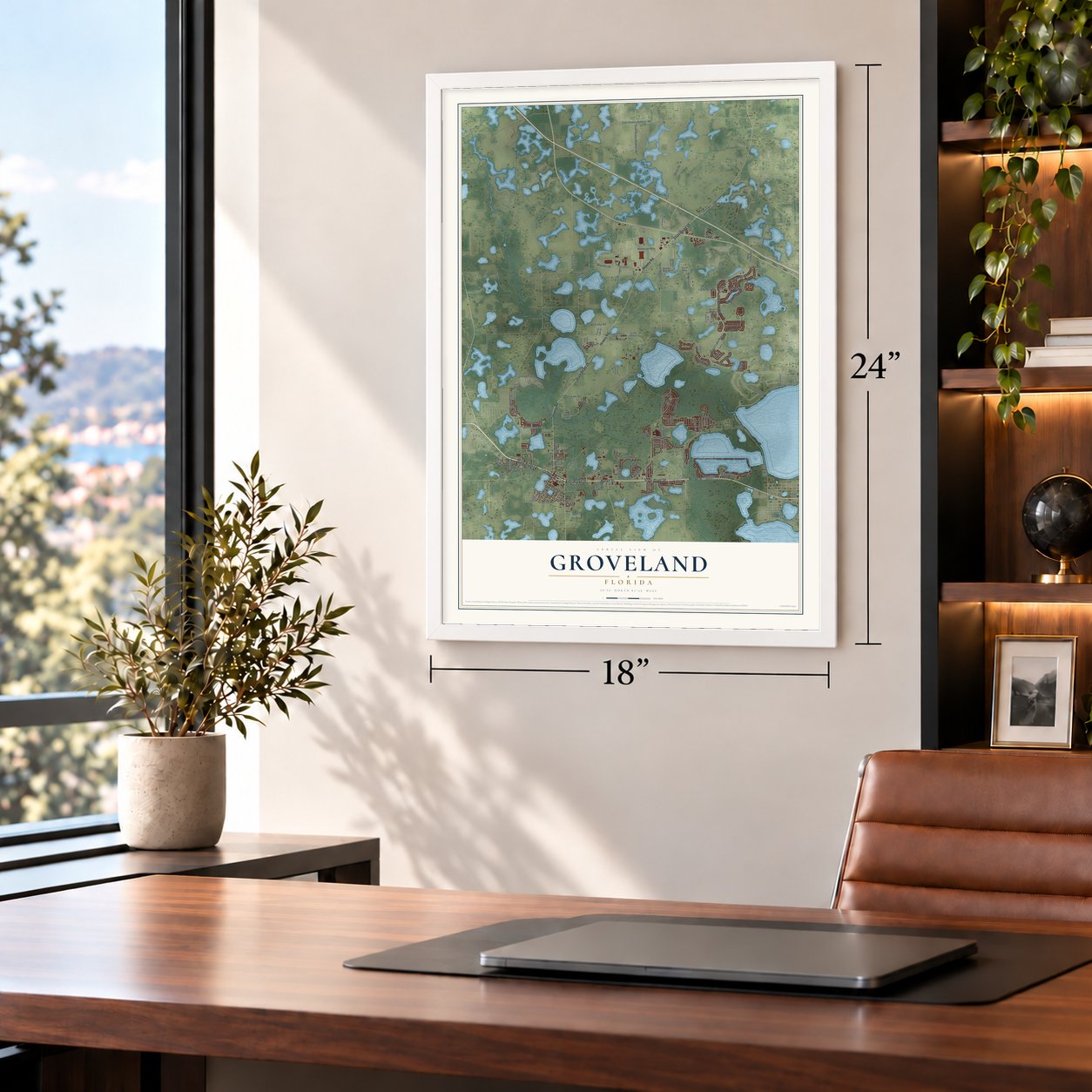
Unframed archival matte, a black wood frame or a white wood frame.
Up close
Geography Worth Displaying
This map was created using accurate cartographic data and authoritative geographic sources, including the U.S. Geological Survey (USGS) and FEMA. The map brings together terrain, waterways, roads, and building detail. The majority of the streets are labeled, houses are accurately depicted, and the topography is derived from government sources. Combining local data with carefully composed color and shading leads to this beautifully detailed Groveland artwork for your wall.
Rather than simply showing street outlines, we’ve included as many of the street names as we could reasonably fit on the map while keeping their names legible. Zoom in on the high resolution preview to see exactly what’s on the map. We truly set out to create a statement piece for anyone who loves Groveland. So whether it’s for you, or a gift for someone you love, we hope this map of Groveland brings back fond memories.
Explore the full map of Groveland, Florida and read about the local places it shows.

About Groveland, Florida
Groveland is a city of 18,505 people in Lake County, at the crossing of State Road 19 and State Roads 33 and 50, in the Orlando metropolitan area. Lakes and other water make up 6.62 of its 27.46 square miles, a share of 24.1 percent.
As new building spread across the area, the city passed an outdoor lighting ordinance in 2022 to hold back light pollution. It asks homes and businesses for lights that limit glare and stay off the neighbors' property, and the city began refitting its streetlamps with shielded, downward fixtures, with a goal of finishing by 2027. After a three-year Dark Sky Initiative, DarkSky International certified Groveland in 2023 as the first International Dark Sky Community anywhere in Florida or the Southeast.
“These defendants were prejudged as guilty and the trial was but a legal gesture to register a verdict already dictated by the press and the public opinion which it generated.”
- The Groveland Four, 1949In 1949 four young Black men, Ernest Thomas, Charles Greenlee, Samuel Shepherd and Walter Irvin, were charged with raping a white farm girl, age 17, in Groveland. Police killed Thomas while arresting him, and an all-white jury convicted the other three. Thurgood Marshall of the NAACP's Legal Defense Fund took the appeal to the U.S. Supreme Court. It voided the verdicts and ordered a new trial, since sensational headlines and confession reports had ruled out a fair one.
- Pardoned in 2019Sheriff Willis V. McCall later shot Shepherd and Irvin, claiming they had tried to escape. Shepherd died, and Irvin lived to tell investigators the two were handcuffed when the sheriff fired. Groveland's city government and Lake County apologized to the men's survivors in 2016. The Florida Board of Executive Clemency voted on January 11, 2019, to pardon them, Governor Ron DeSantis then did so, and on November 22, 2021, Judge Heidi Davis exonerated all four.
- 700 at the first Star PartyGroveland held its first Star Party at Cherrylake Farms in 2023, the same year it earned its dark sky certification, and more than 700 people came out to see the night sky.
- An Olympic medal in 2012As a running back at Groveland's South Lake High School, Jeff Demps made second-team all-state. At the 2008 Olympic trials he covered the 100 meters in 10.01 seconds, setting a national high school record. At the University of Florida he won national titles in both football and track, then ran in a qualifying heat for the American sprint relay team at the London Olympics in 2012 and came home with a silver medal.
- A cemetery brought backIn 2022 Groveland received a large grant to restore an abandoned burial ground within the city, Taylorville's Oak Tree Union Colored Cemetery.
Find your street
Names on the Groveland map
Every name below is printed on this map. Look for your street, your school, the park where you played, or the pond down the road.
Streets and roads137
- State Road 33
- East Broad Street
- Broad Street
- Orange Street
- State Road 19
- State Road 50
- Howey Road
- Beverly Drive
- Ohio Avenue
- Anderson Road
- Villa City Road
- County Highway 478
- Wilson Lake Parkway
- Max Hooks Road
- Libby No 3 Road
- Maravilla Way
- Libby Road
- Cherry Lake Road
- East Dewey Robbins Road
- Blue Cypress Drive
- Silver Eagle Road
- Obrien Road
- Sampey Road
- Silver Maple Road
- Long and Winding Road
- Alcove Drive
- Bayou Bend Road
- Stratton Avenue
- Black Eagle Drive
- South O'Brien Road
Show all 137 streets
- Bluegrass Drive
- Salt Marsh Lane
- Crepe Myrtle Drive
- South Main Avenue
- South Dewey Robbins Road
- Bible Camp Road
- Gadson Street
- Lake Emma Road
- American Way
- Timber Village Road
- Ironside Trail Drive
- Republic Drive
- Inspiration Lane
- Dakota Avenue
- Palisades Boulevard
- Hillcrest Drive
- Homestead Drive
- Division Street
- Pima Tl
- Kansas Avenue
- Groveland Farms Road
- East Anderson Street
- Sorrel Way
- Jalarmy Road
- Water Fern Circle
- Blackstone Creek Road
- West Libby Road
- Blooming Cherry Drive
- Dilly Lake Avenue
- Adkins Lane
- Irving Bend Drive
- Kestrel Drive
- Cherry Valley Tl
- Church Lake Street
- Waterside Pointe Drive
- Hidden View Drive
- Glass Onion Drive
- Tawny Eagle Drive
- Singleton Circle
- Harvest Gate Bv
- Whitewater Bay Drive
- Cabrillo Drive
- Oglethorpe Drive
- Meadow Ridge Drive
- Red Kite Drive
- Osprey Cove Cr
- Ed Douglas Road
- Country Lakes Circle
- Cheshire Street
- East Waldo Street
- Sandhill Street
- Earth Star Lane
- North Libby Road
- Juno Drive
- Jim Payne Road
- Lake Arthur Road
- Varnado Road
- Garden Way Road
- Neptune Drive
- Mike's Drive
- Way Point Drive
- Sarus Avenue
- Bloom Court
- Delta Avenue
- Park Avenue
- Kent Street
- North Cherry Lake Groves Road
- Perch Hammock Loop
- Independence Boulevard
- Black Walnut Drive
- Water Willow Drive
- Domenico Court
- Heart Lake Drive
- Conservation Boulevard
- Falling Acorn Avenue
- Crittenden Street
- Greenley Avenue
- Sunscape Trail
- Hunt Island Road
- Catherine Lane
- Ledbetter Street
- Bamboo Bend Road
- Key Court
- Cataldo Way
- Courtyard Lane
- Lewis Grove Road
- Golden Club Street
- Edge Court
- Lake Minneola Shrs
- South Obrien Road
- Cherry Lake Groves Road
- Jupiter Beach Road
- Parkwood Street
- Hemingway Circle
- Lake Douglas Drive
- Hackberry Street
- Greenwood Street
- Gator Lane
- Bella Way
- Cathedral Lane
- Hydra Way
- Kapi Drive
- Hart Street
- Gano Road
- Florets Drive
- Justice Place
- North Drive
Names are listed as they appear on the printed map. Zoom into the product photos to find them.
The art of mapping a place
How This Map Was Made
Real places. Remarkable detail. Discover the layers that turn geographic data into a map of home.

The view from above
Aerial imagery reveals the character of the land: woodland, open fields, and the patterns of a place.

The shape of the land
Elevation data brings hills, valleys, and subtle changes in the landscape into view.

The details of home
Roads, waterways, and building footprints come together to make the map feel unmistakably local.

Geography becomes art
Considered color, shading, and typography bring the layers together in a map made for your wall.


Process illustrated with Mendon, Massachusetts. Aerial imagery: USDA NAIP. Terrain: USGS 3D Elevation Program. Map details and finished artwork: KNOWOL.
The Details
About This Print
Choose an archival matte print, or a black or white Ayous wood frame. The archival matte print is unframed.
Select your size and finish above to see the matching product image and price.
Materials & Craftsmanship
A contemporary map with the character of a classic atlas, printed on archival matte paper. Optional frames are made from Ayous wood.
Your printed map does not include the watermark shown in the full-map preview.
Shipping & Delivery
Free shipping within the United States. Every print is made to order in the USA.
Buying a gift? Add a note in your cart and we'll include it. We never put prices in the package.
Prints ship within 2 to 3 business days. Allow 7 to 10 days total from ordering for delivery. Timing may vary during holidays or periods of high order volume.
Read our shipping policy.
Returns and damaged prints
Each print is made to order. Change-of-mind refunds are not available after production.
If your print arrives damaged, misprinted or incorrect, contact support@knowol.com within 30 days of receiving it. Include your order number, photos and a description of the issue.
Read our full refund and replacement policy. For questions about your order, email support@knowol.com.
Find your town
Looking for another city?
Find a map of home in our Florida collection, or any town in the country.
Nearby
Maps of towns near Groveland
Know someone from one of these towns? Their map makes a great gift.
 Howey-in-the-Hills
, Florida
From $39.99See the map
 Minneola
, Florida
From $39.99See the map
 Astatula
, Florida
From $39.99See the map
More maps nearby: Ferndale, Yalaha, Mascotte, Montverde and Leesburg.