
Search for another town





Free U.S. delivery 7 to 10 days after you order
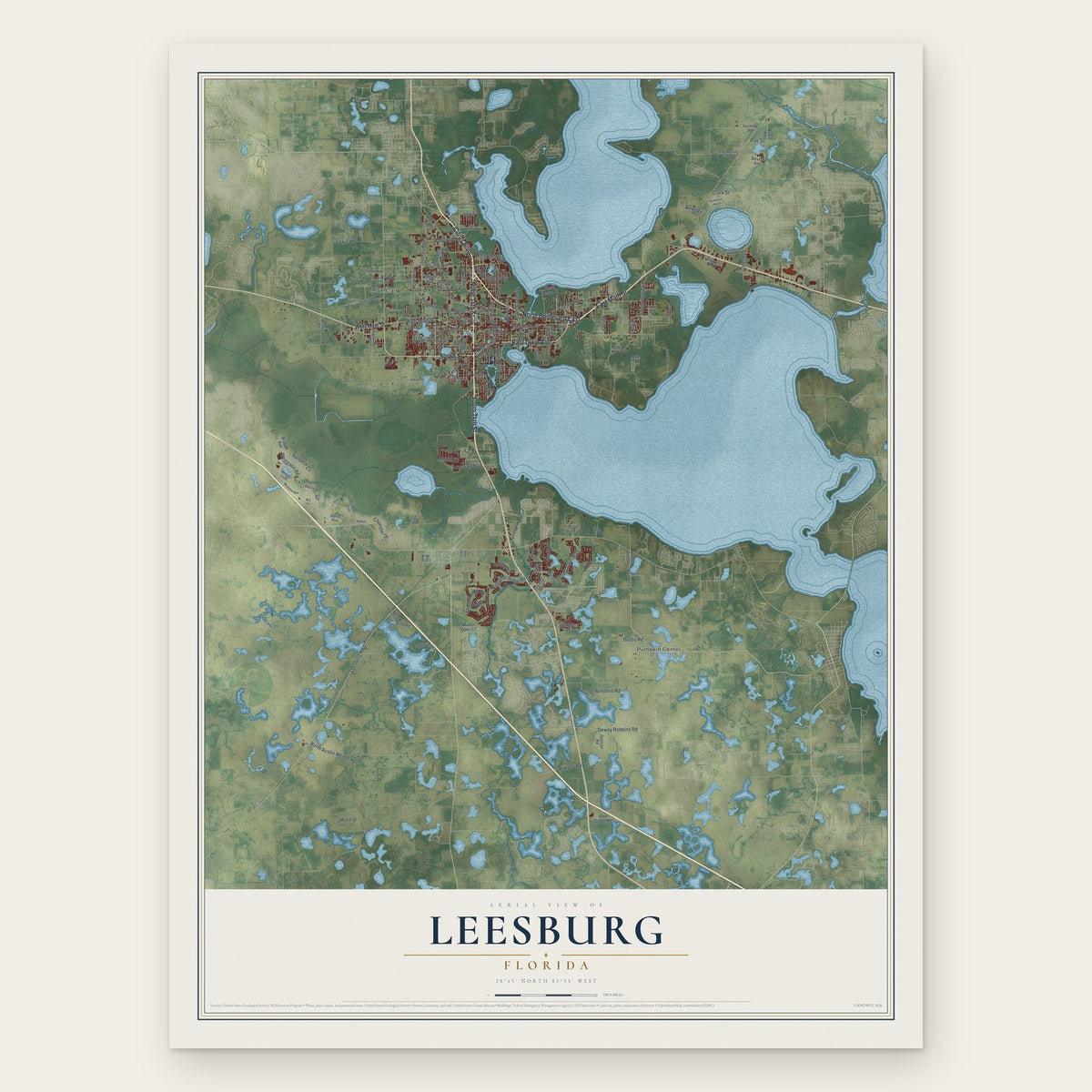
Leesburg, Florida Map Art
A new map of Leesburg, Florida, made in 2026 and printed to order on thick archival matte paper.
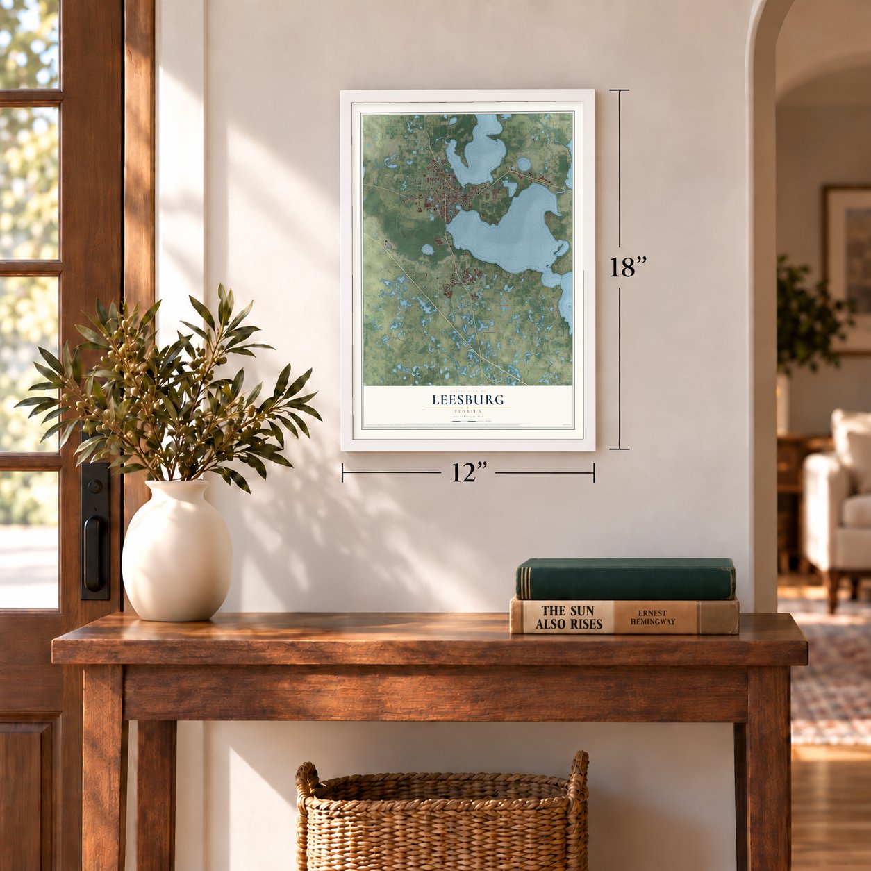
12" x 18" Archival Matte Print
A Map of Home. A Work of Art.
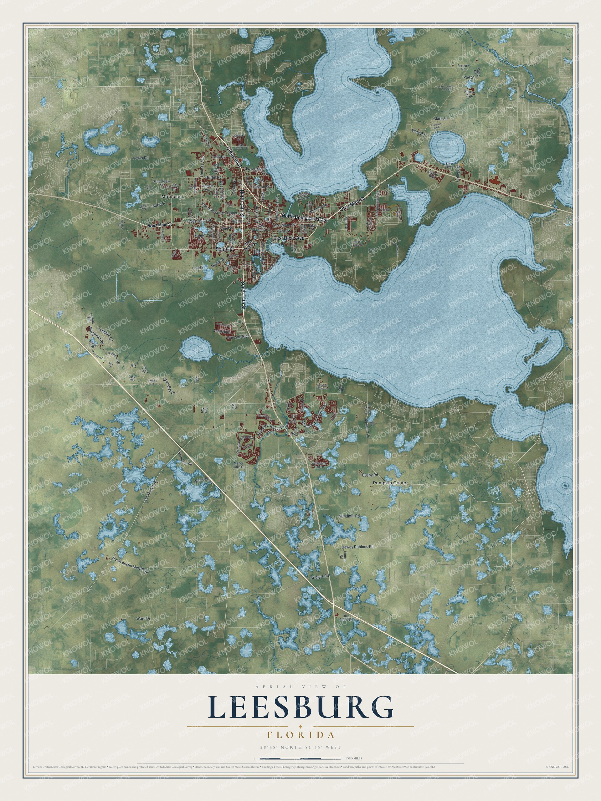
Explore Leesburg, Florida from a whole new perspective. Created using aerial imagery and detailed geographic data, this map captures Leesburg building by building, with labeled streets, familiar landmarks, and shaded topographical relief that highlights the natural contours of the landscape.
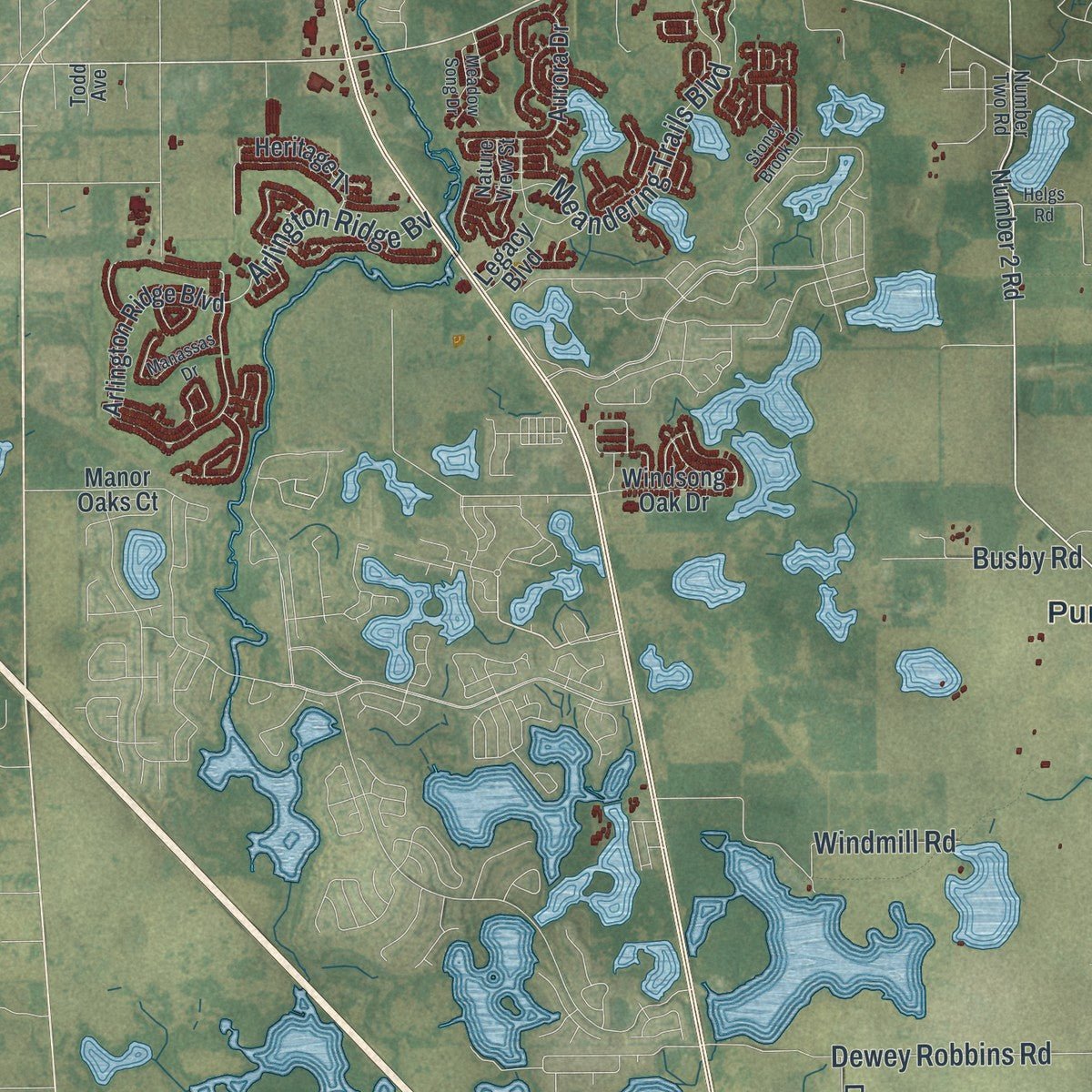
Combining modern data with the timeless character of a vintage atlas, this map is just as interesting up close as it is beautiful on the wall. Whether you grew up in Leesburg, spent memorable years there, or call it home today, this unique map is a great way to celebrate a place that means something to you. Zoom in on the preview to look for your street, and then order a print to put your memories on the wall.
Three ways to hang it
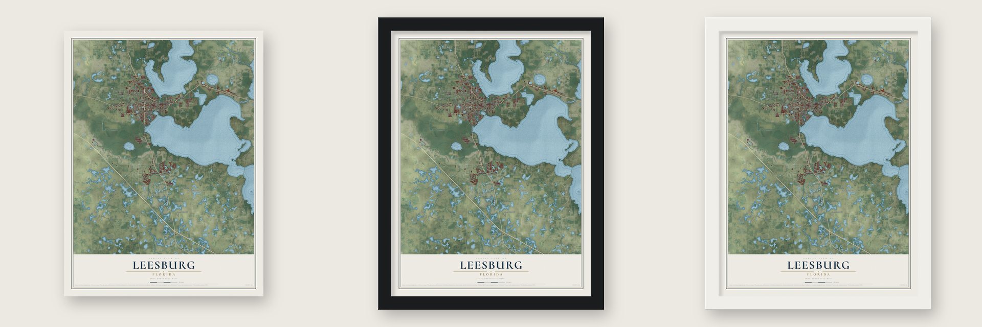
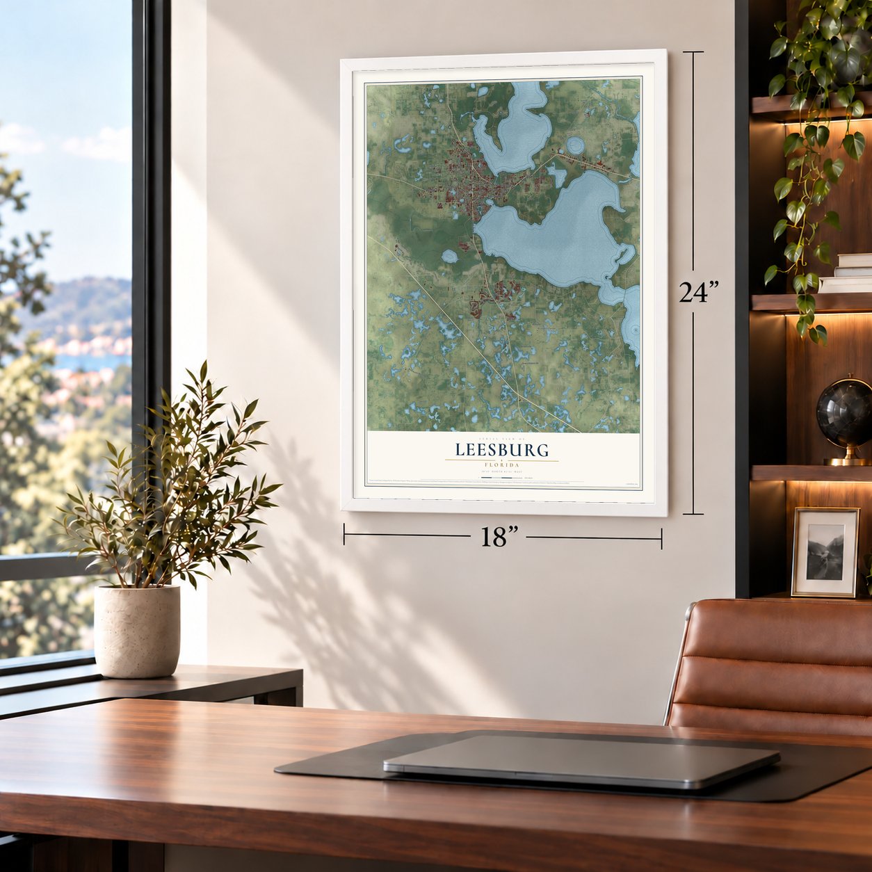
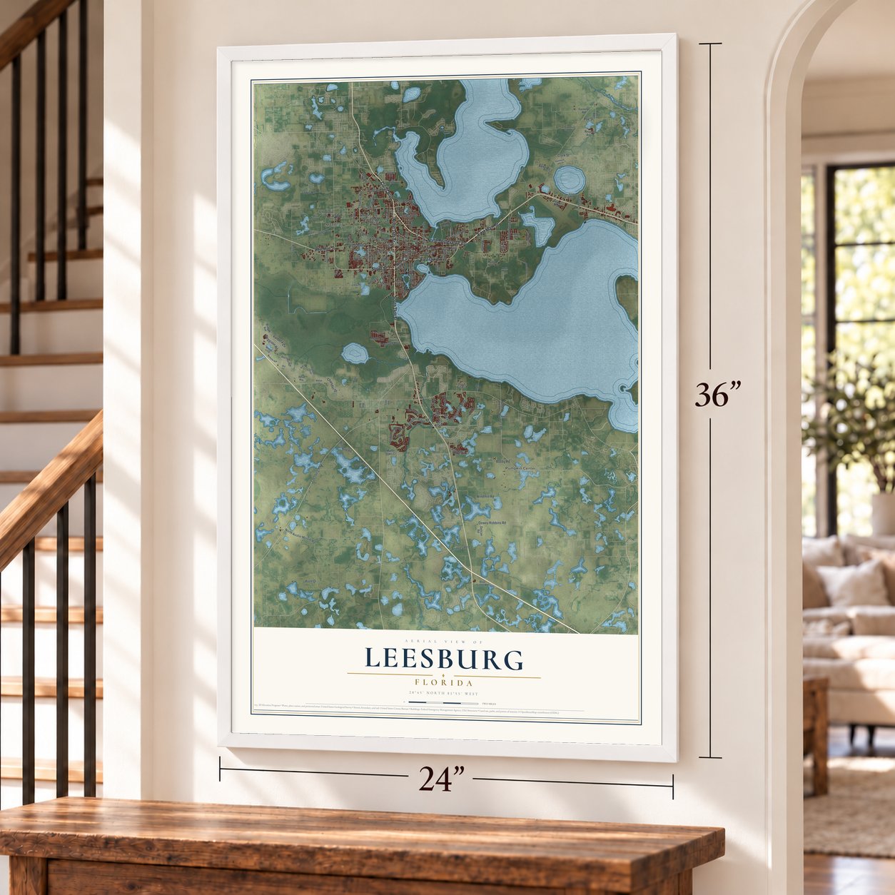
Unframed archival matte, a black wood frame or a white wood frame.
Up close
Geography Worth Displaying
This map was created using accurate cartographic data and authoritative geographic sources, including the U.S. Geological Survey (USGS) and FEMA. The map brings together terrain, waterways, roads, and building detail. The majority of the streets are labeled, houses are accurately depicted, and the topography is derived from government sources. Combining local data with carefully composed color and shading leads to this beautifully detailed Leesburg artwork for your wall.
Rather than simply showing street outlines, we’ve included as many of the street names as we could reasonably fit on the map while keeping their names legible. Zoom in on the high resolution preview to see exactly what’s on the map. We truly set out to create a statement piece for anyone who loves Leesburg. So whether it’s for you, or a gift for someone you love, we hope this map of Leesburg brings back fond memories.
Explore the full map of Leesburg, Florida and read about the local places it shows.

About Leesburg, Florida
Leesburg is a city of 27,000 people in Lake County, set between Lake Harris and Lake Griffin where the Ocklawaha River begins. In 1857 Evander McIver Lee and Susannah Lee made their home on this ground. His brother Josiah soon came and bought land near Montclair Road, more Lee brothers followed, and the town's name is usually credited to another brother, John Calvin Lee.
Leesburg became a city on July 12, 1875, and its public library opened that same year. The young city served for a while as Sumter County's seat, but when Lake County was created in 1887, the seat went to Tavares instead. Citrus carried the local economy for decades, until hard freezes in December 1983 and February 1985 drove growers to replant their groves farther south.
- Watermelon Festival, 1930 to 1957Early in the 20th century Leesburg was a major watermelon town, and in 1930 it staged its first Watermelon Festival. The celebration returned every year for nearly three decades, even as local growers planted fewer melons. By the final festival in 1957, the city had to truck in watermelons from other places.
- Venetian Gardens since 1938In 1938, in the middle of the Great Depression, the Works Progress Administration started building Venetian Gardens, a park of canals and gardens along Lake Harris. It became the heart of the city. The library settled there in 1953, when Leesburg gave it a library charter, and stayed until it moved into a 42,000-square-foot building in 2007.
- The Phillies and Annie OakleyThe Philadelphia Phillies trained each spring at Cooke Field from 1922 to 1924, and on March 14, 1923, they played the St. Louis Cardinals there in an exhibition. In the 1920s Annie Oakley, who kept a home in Leesburg, put on shooting shows at the field, one of them for the Phillies. The city built the Ballpark at Venetian Gardens in 1936, and its Florida State League clubs won titles in 1941 and 1946.
- Virgil Hawkins's long fightVirgil D. Hawkins, born in Lake County in 1906, grew up near Okahumpka. In 1949 NAACP lawyer Horace Hill recruited him to test segregation, and the University of Florida law school rejected him because of his race. The U.S. Supreme Court ruled in 1956 that he deserved prompt admission. In 1958 he gave up his own application in return for a state court order opening the university's graduate and professional schools.
- A Leesburg lawyer at sixty-nineDecades after the law school turned him away, Virgil Hawkins joined The Florida Bar in 1976. The next year, 1977, he opened his own law office in Leesburg at sixty-nine.
Find your street
Names on the Leesburg map
Every name below is printed on this map. Look for your street, your school, the park where you played, or the pond down the road.
Places and landmarks2
- Montclair
- Pumpkin Center
Streets and roads133
- North 14th Street
- South 14th Street
- North Boulevard East
- East Dixie Avenue
- East Main Street
- Citrus Boulevard
- South Street
- Leesburg Highway
- West Main Street
- North Austin Merritt Road
- Meggison Road
- Thomas Avenue
- Griffin Road
- Dewey Robbins Road
- Meandering Trails Boulevard
- Windmill Road
- Chandler Drive
- Lee Street
- Lewis Road
- South Ninth Street
- Vanbeck Circle
- Perkins Street
- Arlington Ridge Bv
- Vine Street
- North Shore Drive
- Bentley Road
- North Canal Street
- High Street
- Jones Drive
- Tally Road
Show all 133 streets
- Park Drive
- College Drive
- Poe Street
- Clark Street
- Armoyan Boulevard
- Beecher Street
- Busby Road
- Anahid Drive
- Fern Drive
- Bridges Road
- Gibson Street
- Neely Drive
- Pine Street
- Seng Road
- Susan Street
- Ward Drive
- Number 2 Road
- Arlington Ridge Boulevard
- Aurora Drive
- Radio Road
- Lakeshore Drive
- Sleepy Hollow Road
- Bright Lake Cr
- Windsong Oak Drive
- Shore Acres Drive
- East Montclair Road
- South Lone Oak Drive
- Oak Drive
- Center Street
- North Third Street
- Heritage Tl
- Fernery Road
- Northwind Road
- Park Circle
- West Magnolia Street
- South Moss Street
- Talley Box Road
- Harlem Avenue
- Sterns Drive
- Manor Oaks Court
- Blue Cedar Road
- Duncan Road
- Bridget Avenue
- Commerce Street
- Schoolview Street
- Scenic Street
- Airport Boulevard
- South East Street
- Legacy Boulevard
- Revere Avenue
- Baker Street
- Sennett Drive
- Leuty Road
- Bay Avenue
- West Dixie Avenue
- Number Two Road
- Sunnyside Drive
- Lake Pointe Circle
- Baysinger Path
- Newell Loop
- South Lake Street
- Sanders Grove Cr
- Veech Road
- Tucson Trail
- Silver Lake Drive
- Mills Street
- Armenia Road
- North 13th Street
- Park Holland Road
- Flatwoods Road
- Broadwater Avenue
- Silver Charm Court
- Nature View Street
- Hollow Lane
- Peters Drive
- Crest Avenue
- Georgia Avenue
- Willow Drive
- Daniel Way
- Whitney Road
- North Street
- Walsh Lane
- Todd Avenue
- Kip Court
- Stoney Brook Drive
- Hammock Lake Drive
- Meadow Song Drive
- Mickylee Run
- El Rancho Drive
- Manassas Drive
- West Fork Road
- East Treasure Island Avenue
- Debbie Road
- Euclid Avenue
- Louis Street
- Helgs Road
- Hampton Road
- Deborah Avenue
- Pruitt Street
- Gunston Street
- Benton Street
- Hill Street
- Will Lane
Names are listed as they appear on the printed map. Zoom into the product photos to find them.
The art of mapping a place
How This Map Was Made
Real places. Remarkable detail. Discover the layers that turn geographic data into a map of home.

The view from above
Aerial imagery reveals the character of the land: woodland, open fields, and the patterns of a place.

The shape of the land
Elevation data brings hills, valleys, and subtle changes in the landscape into view.

The details of home
Roads, waterways, and building footprints come together to make the map feel unmistakably local.

Geography becomes art
Considered color, shading, and typography bring the layers together in a map made for your wall.


Process illustrated with Mendon, Massachusetts. Aerial imagery: USDA NAIP. Terrain: USGS 3D Elevation Program. Map details and finished artwork: KNOWOL.
The Details
About This Print
Choose an archival matte print, or a black or white Ayous wood frame. The archival matte print is unframed.
Select your size and finish above to see the matching product image and price.
Materials & Craftsmanship
A contemporary map with the character of a classic atlas, printed on archival matte paper. Optional frames are made from Ayous wood.
Your printed map does not include the watermark shown in the full-map preview.
Shipping & Delivery
Free shipping within the United States. Every print is made to order in the USA.
Buying a gift? Add a note in your cart and we'll include it. We never put prices in the package.
Prints ship within 2 to 3 business days. Allow 7 to 10 days total from ordering for delivery. Timing may vary during holidays or periods of high order volume.
Read our shipping policy.
Returns and damaged prints
Each print is made to order. Change-of-mind refunds are not available after production.
If your print arrives damaged, misprinted or incorrect, contact support@knowol.com within 30 days of receiving it. Include your order number, photos and a description of the issue.
Read our full refund and replacement policy. For questions about your order, email support@knowol.com.
Find your town
Looking for another city?
Find a map of home in our Florida collection, or any town in the country.
Nearby
Maps of towns near Leesburg
Know someone from one of these towns? Their map makes a great gift.
 Okahumpka
, Florida
From $39.99See the map
 Yalaha
, Florida
From $39.99See the map
 Howey-in-the-Hills
, Florida
From $39.99See the map
More maps nearby: Mascotte, Groveland, Wildwood, Fruitland Park and Center Hill.