
Search for another town


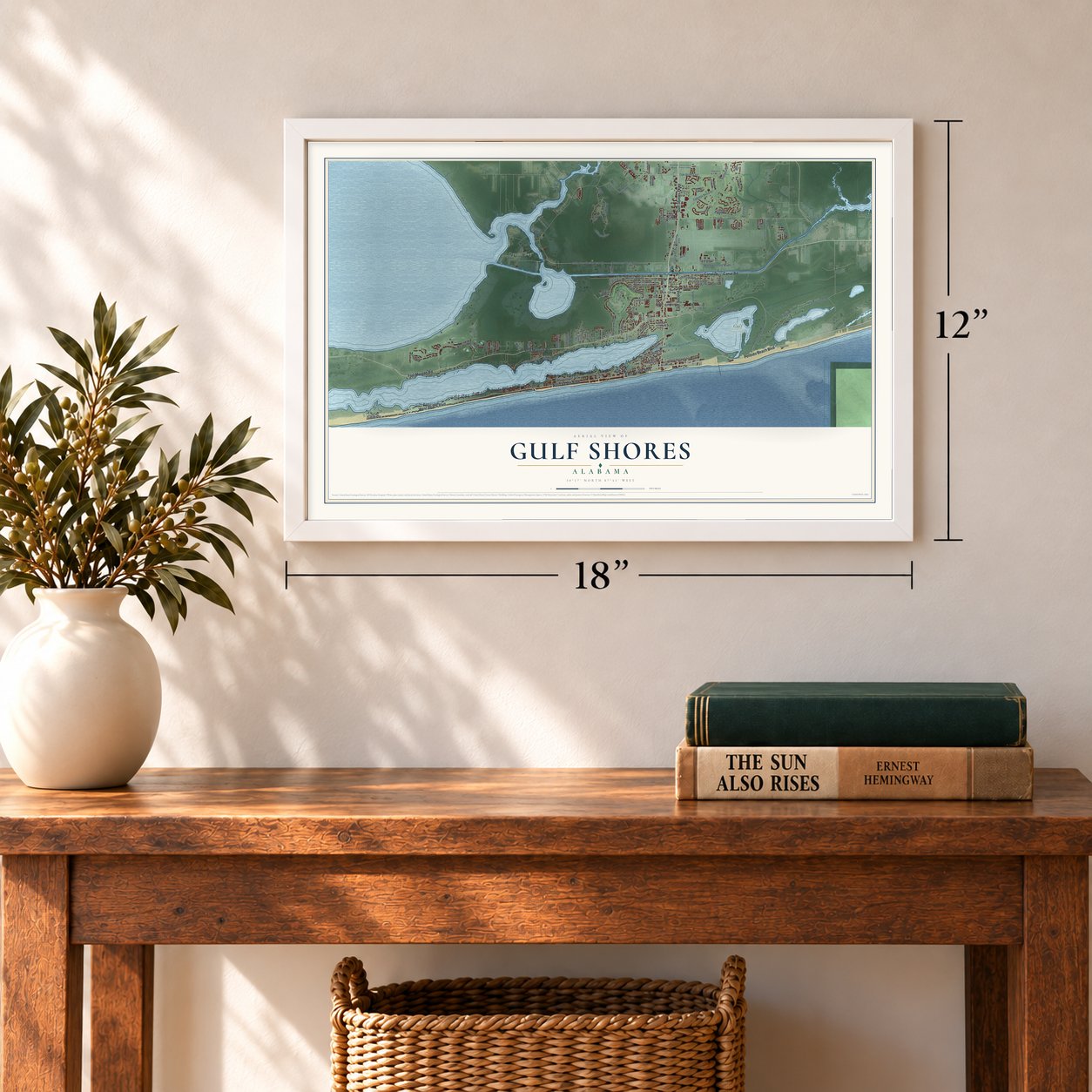

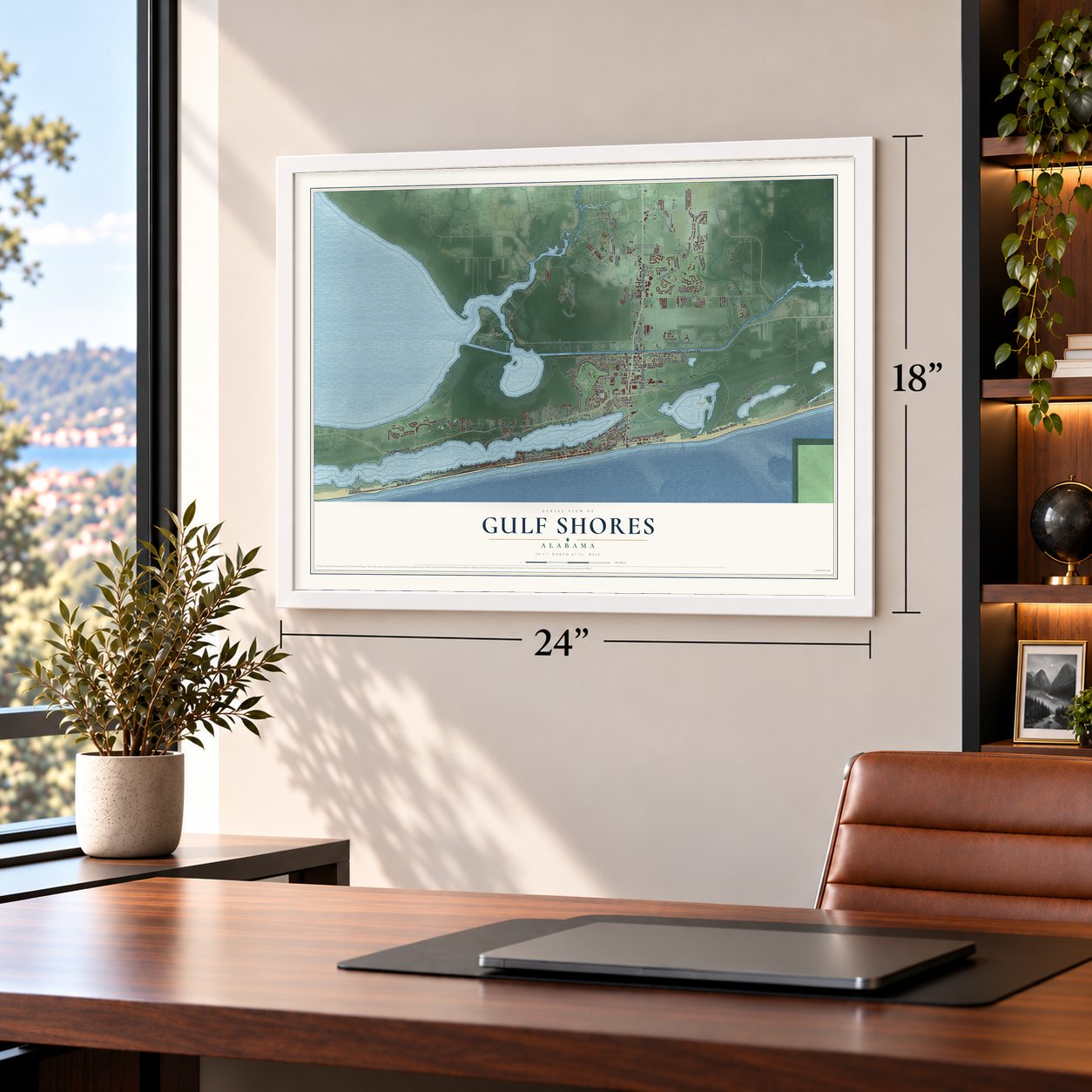

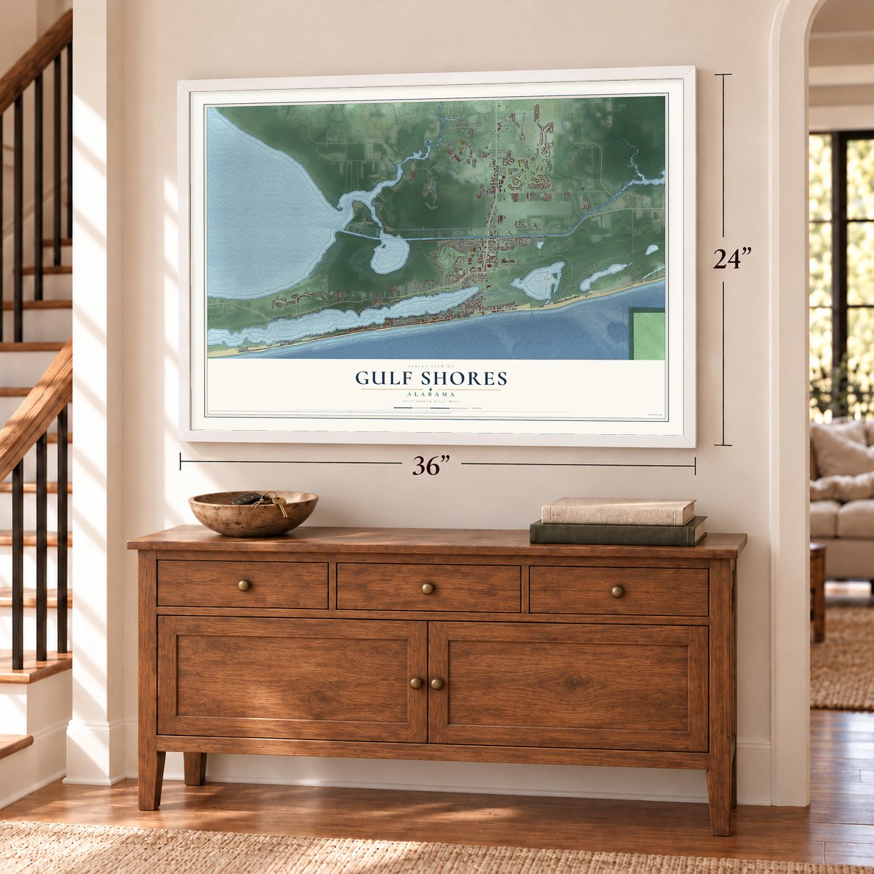

Free U.S. delivery 7 to 10 days after you order
Gulf Shores, Alabama Map Art
A new map of Gulf Shores, Alabama, made in 2026 and printed to order on thick archival matte paper.
12" x 18" Archival Matte Print
A Map of Home. A Work of Art.
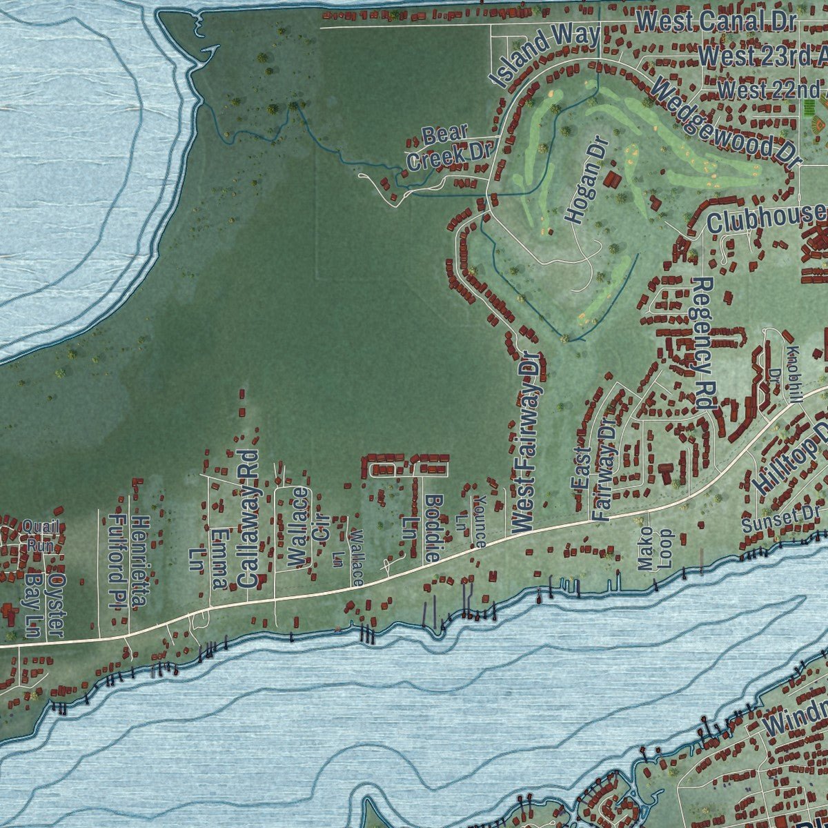
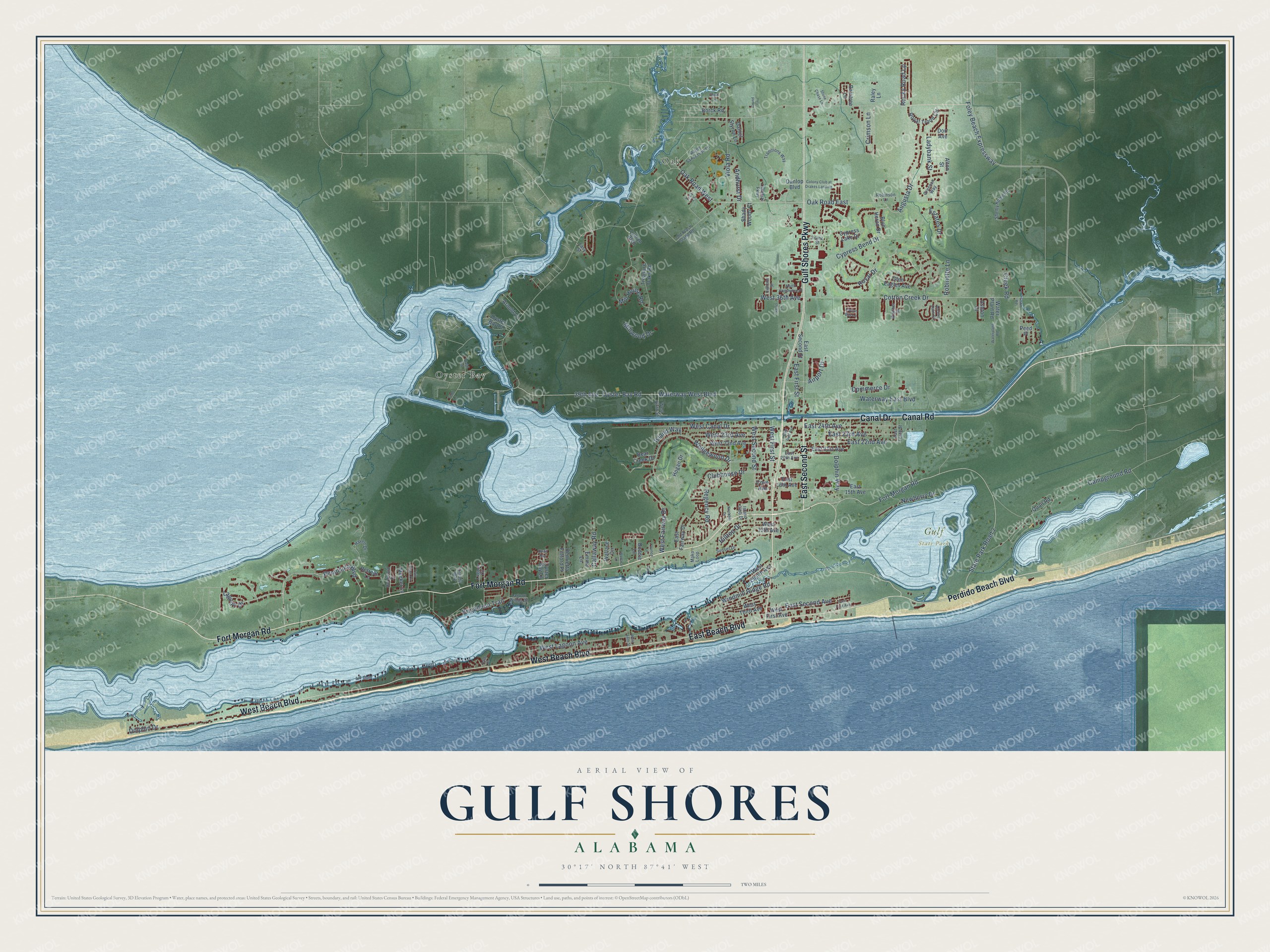
Explore Gulf Shores, Alabama from a whole new perspective. Created using aerial imagery and detailed geographic data, this map captures Gulf Shores building by building, with labeled streets, familiar landmarks, and shaded topographical relief that highlights the natural contours of the landscape.
Combining modern data with the timeless character of a vintage atlas, this map is just as interesting up close as it is beautiful on the wall. Whether you grew up in Gulf Shores, spent memorable years there, or call it home today, this unique map is a great way to celebrate a place that means something to you. Zoom in on the preview to look for your street, and then order a print to put your memories on the wall.
Three ways to hang it
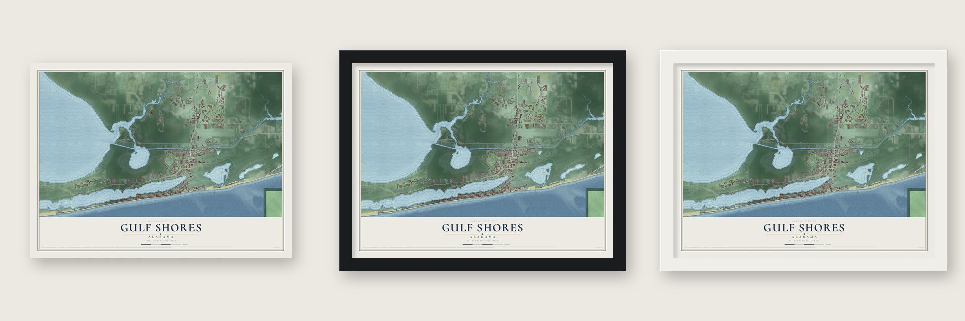
Unframed archival matte, a black wood frame or a white wood frame.
Up close
Geography Worth Displaying
This map was created using accurate cartographic data and authoritative geographic sources, including the U.S. Geological Survey and the Census Bureau. The map brings together terrain, waterways, roads, and building detail. The majority of the streets are labeled, houses are accurately depicted, and the topography is derived from government sources. Combining local data with carefully composed color and shading leads to this beautifully detailed Gulf Shores artwork for your wall.
Rather than simply showing street outlines, we’ve included as many of the street names as we could reasonably fit on the map while keeping their names legible. Zoom in on the high resolution preview to see exactly what’s on the map. We truly set out to create a statement piece for anyone who loves Gulf Shores. So whether it’s for you, or a gift for someone you love, we hope this map of Gulf Shores brings back fond memories.
Read the story behind this map of Gulf Shores, Alabama from 2026.

About Gulf Shores, Alabama
Gulf Shores is a city of 15,014 people in Baldwin County, on the Gulf of Mexico, and it is the southernmost settlement in Alabama. Until the 1940s, this stretch of coast was mostly beach and wetland that few people could reach. The Gulf Intracoastal Waterway, finished in 1937, opened the area to builders and tourists. A hotel went up on the beach in the early 1940s, reached by a rough road, and a post office followed in 1947.
In 1956 a group of residents who wanted more control over local affairs petitioned to incorporate, and Gulf Shores received a city charter. Other locals feared higher taxes and fought the charter in court, and a local judge threw it out in 1957. The case went to the Alabama Supreme Court, which ruled for incorporation in 1958 and settled the city's standing.
- From bait to dinner platesLocal shrimpers were at work by around 1918, but at first they mostly caught bait for other fisheries. In 1956 deep-sea trawling for shrimp to sell as food became common, and the trade grew into the backbone of the local economy.
- Shrimp Festival since 1971Every year since 1971, on the second weekend in October, Gulf Shores has held the Alabama National Shrimp Festival. Visitors come for live entertainment, arts and crafts vendors, activities for children and booths serving shrimp dishes.
- Camp Withers in 1862In May 1862 Confederate troops set up Camp Withers near what is now Highway 180. Men stationed there watched Federal troop movements along the coast and stood picket duty, and the camp served Alabama's Seventh Cavalry Regiment. It was named for Jones M. Withers, a former mayor in charge of building the defenses around Mobile. The camp stayed open until after the Battle of Mobile Bay in August 1864.
- Storms and rebuildingHurricane Frederic leveled most of the town in September 1979. Hurricane Ivan came ashore at Gulf Shores on September 16, 2004, and Katrina flooded the area in 2005 while the cleanup from Ivan was still going on. Hurricane Sally made landfall on September 16, 2020, the same date Ivan had struck, and each time the city rebuilt.
- Gulf State Park, 1939Gulf State Park was dedicated in 1939 and takes up a large eastern part of the city. It covers 6,150 acres, with two miles of white sand beach and trails for hiking and biking.
Find your street
Names on the Gulf Shores map
Every name below is printed on this map. Look for your street, your school, the park where you played, or the pond down the road.
Places and landmarks3
- Gulf State Park
- Oak
- Oyster Bay
Streets and roads141
- Fort Morgan Road
- Canal Road
- Gulf Shores Parkway
- East Second Street
- Canal Drive
- West Beach Boulevard
- East Beach Boulevard
- Perdido Beach Boulevard
- Augusta Drive
- Peninsula Boulevard
- Oak Road West
- Oyster Bay Road
- Cotton Creek Drive
- Wedgewood Drive
- West Fairway Drive
- Lagoon Drive
- West First Street
- Oak Road East
- Campground Road
- Estates Drive
- Dolphin Way
- State Park Road 2
- Waterway West Boulevard
- West Canal Drive
- West Second Street
- West Lagoon Avenue
- Mill House Road
- Brigadoon Trail
- Viola Road
- Commerce Drive
Show all 141 streets
- Foley Beach Expressway
- East 24th Avenue
- East 22nd Avenue
- Waterway East Boulevard
- East First Street
- East 23rd Avenue
- 29th Avenue
- Rocky Road Lp
- Clubhouse Drive
- Cypress Bend Drive
- East Second Avenue
- West 23rd Avenue
- Windmill Ridge Road
- Newberry Drive
- Ladybank Street
- Regency Road
- Royal Drive
- Crimson Lane
- West 36th Avenue
- Dolphin Drive
- Island Way
- Hilltop Drive
- Callaway Road
- Robinette Lane
- Creek Road
- Andhurst Drive
- Millwood Drive
- Airport Drive
- Glen Eagles Avenue
- East 15th Avenue
- Treasure Oaks Road
- West First Avenue
- Cypress Lake Drive
- West 22nd Avenue
- East 21st Avenue
- Boddie Lane
- West Third Avenue
- Royal Troon Circle
- East 16th Avenue
- Wallace Circle
- East Fairway Drive
- Blue Heron Drive
- Henrietta Fulford Place
- West 13th Avenue
- Raintree Lane
- Hogan Drive
- Oyster Bay Place
- West Eighth Avenue
- Alton Street
- Oyster Bay Lane
- Retreat Lane
- Meeker Lane
- Dunlop Boulevard
- Bear Creek Drive
- Arnold Lane
- Daniel Styron Lane
- Dorr Avenue
- Borck Road
- Shady Woods Court
- Water Plant Road
- Quail Road
- Emma Lane
- Ashton Court
- Raley Lane
- Cove Avenue
- Lyman Boulevard
- Peed Place
- Colonial Parkway
- West Sixth Street
- Hardwood Drive
- Lagoon Winds Drive
- Traditions Way
- Haven Drive
- Old Plash Island Road
- Lagoon Circle
- Dorado Way
- Island Club Drive
- Greenan Way
- Ralph Sanderson Lane
- Shelby Home Road
- Mako Loop
- East 20th Avenue
- Easy Street
- East Tenth Street
- Sunset Drive
- Walther Drive
- Robinson Lane
- Franz Street
- Trey Lane
- East First Avenue
- Twin Pines Circle
- Ancient Oaks Circle
- Geno Road
- Colony Club at Drakes Landing
- North Commerce Place
- Waterplant Road
- Highland Street
- Stone Chase Lane
- Wallace Lane
- East Gulf Avenue
- Garris Lane
- Knobhill Drive
- Plash Road
- West Tenth Street
- Cotton Bay Lane
- Younce Lane
- Grund Lane
- Pass Drive
- Quail Run
- Todd Lane
- Stout Lane
Names are listed as they appear on the printed map. Zoom into the product photos to find them.
The art of mapping a place
How This Map Was Made
Real places. Remarkable detail. Discover the layers that turn geographic data into a map of home.

The view from above
Aerial imagery reveals the character of the land: woodland, open fields, and the patterns of a place.

The shape of the land
Elevation data brings hills, valleys, and subtle changes in the landscape into view.

The details of home
Roads, waterways, and building footprints come together to make the map feel unmistakably local.

Geography becomes art
Considered color, shading, and typography bring the layers together in a map made for your wall.


Process illustrated with Mendon, Massachusetts. Aerial imagery: USDA NAIP. Terrain: USGS 3D Elevation Program. Map details and finished artwork: KNOWOL.
The Details
About This Print
Choose an archival matte print, or a black or white Ayous wood frame. The archival matte print is unframed.
Select your size and finish above to see the matching product image and price.
Materials & Craftsmanship
A contemporary map with the character of a classic atlas, printed on archival matte paper. Optional frames are made from Ayous wood.
Your printed map does not include the watermark shown in the full-map preview.
Shipping & Delivery
Free shipping within the United States. Every print is made to order in the USA.
Buying a gift? Add a note in your cart and we'll include it. We never put prices in the package.
Prints ship within 2 to 3 business days. Allow 7 to 10 days total from ordering for delivery. Timing may vary during holidays or periods of high order volume.
Read our shipping policy.
Returns and damaged prints
Each print is made to order. Change-of-mind refunds are not available after production.
If your print arrives damaged, misprinted or incorrect, contact support@knowol.com within 30 days of receiving it. Include your order number, photos and a description of the issue.
Read our full refund and replacement policy. For questions about your order, email support@knowol.com.
Find your town
Looking for another city?
Find a map of home in our Alabama collection, or any town in the country.
Nearby
Maps of towns near Gulf Shores
Know someone from one of these towns? Their map makes a great gift.
 Bon Secour
, Alabama
From $39.99See the map
 Orange Beach
, Alabama
From $39.99See the map
 Foley
Foley, Alabama
From $39.99See the map
More maps nearby: Elberta, Magnolia Springs, Perdido Beach, Summerdale and Silverhill.