
Search for another town




Free U.S. delivery 7 to 10 days after you order
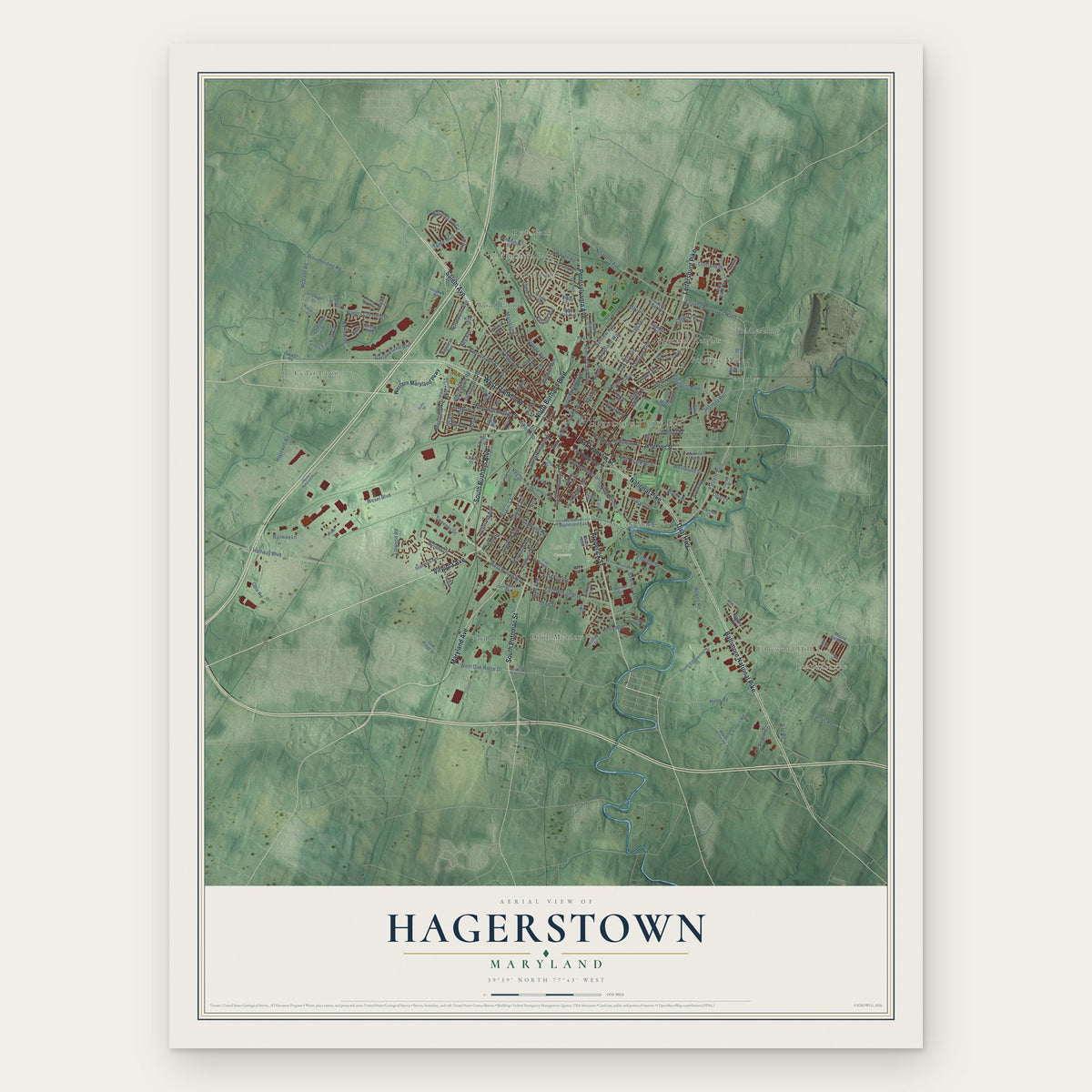
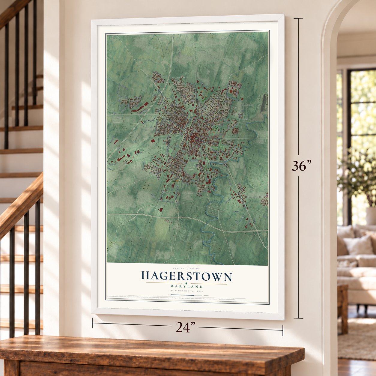
Hagerstown, Maryland Map Art
Building by building, with labeled streets and shaded relief.
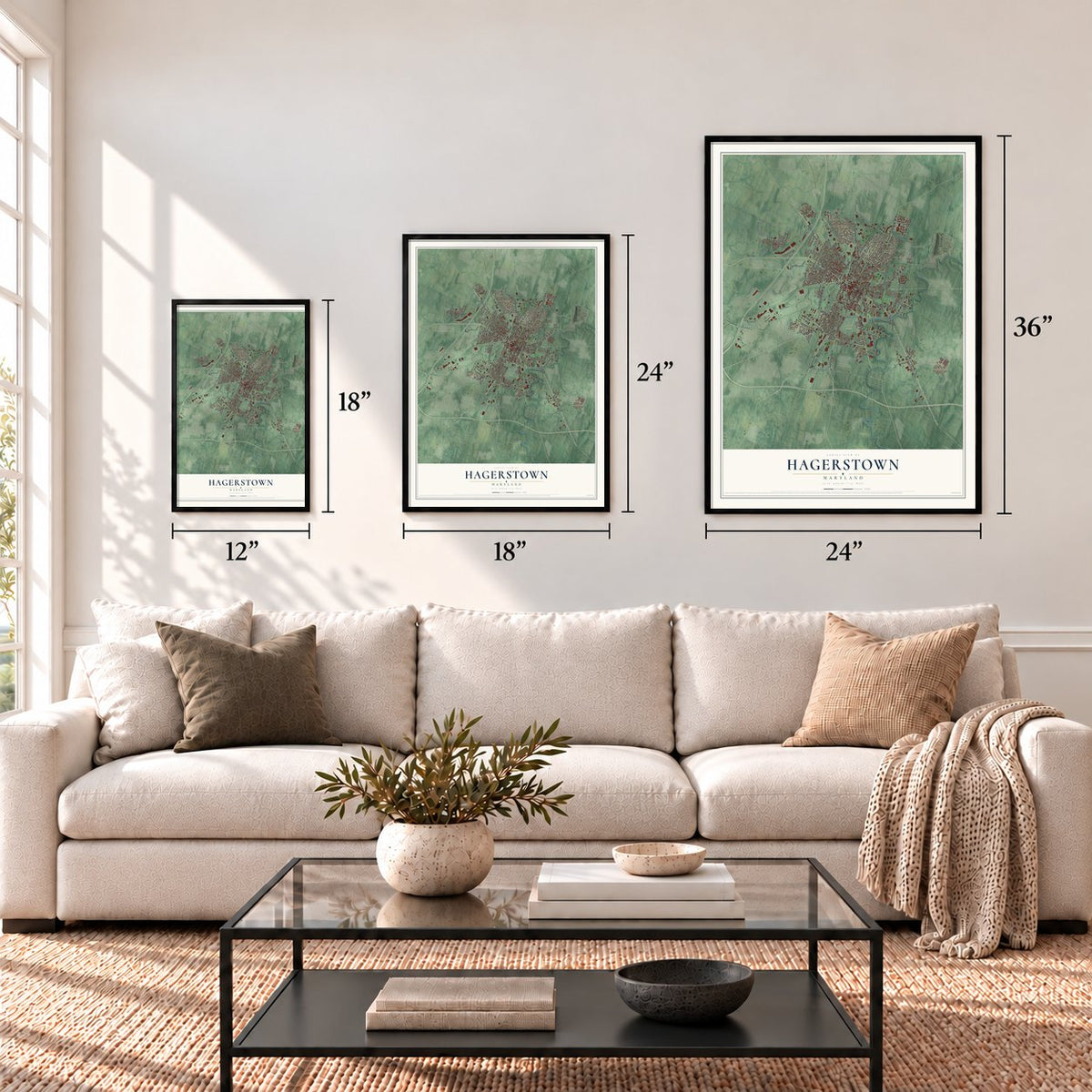
12" x 18" Archival Matte Print
A Map of Home. A Work of Art.
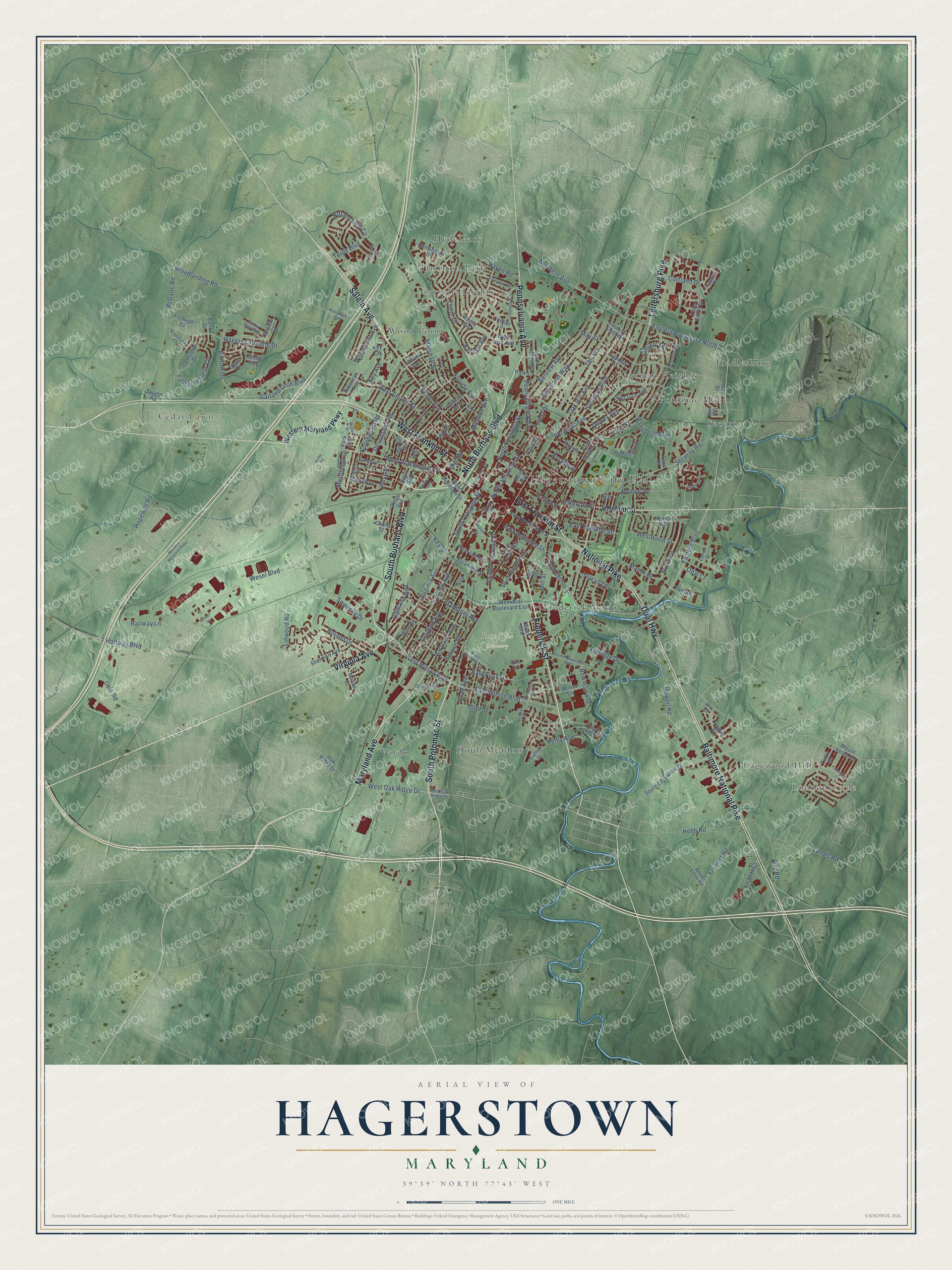
Explore Hagerstown, Maryland from a whole new perspective. Created using aerial imagery and detailed geographic data, this map captures Hagerstown building by building, with labeled streets, familiar landmarks, and shaded topographical relief that highlights the natural contours of the landscape.
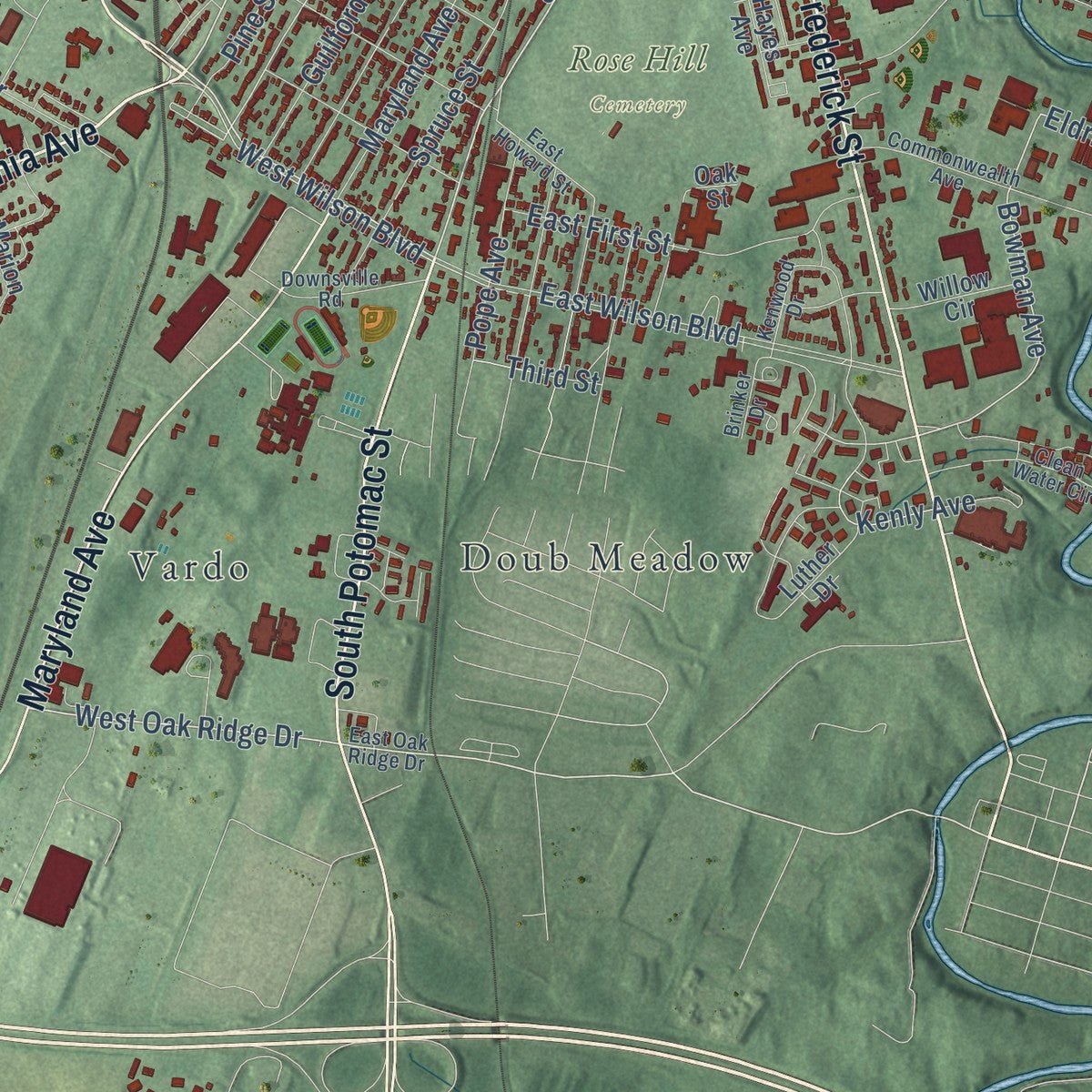
Combining modern data with the timeless character of a vintage atlas, this map is just as interesting up close as it is beautiful on the wall. Whether you grew up in Hagerstown, spent memorable years there, or call it home today, this unique map is a great way to celebrate a place that means something to you. Zoom in on the preview to look for your street, and then order a print to put your memories on the wall.
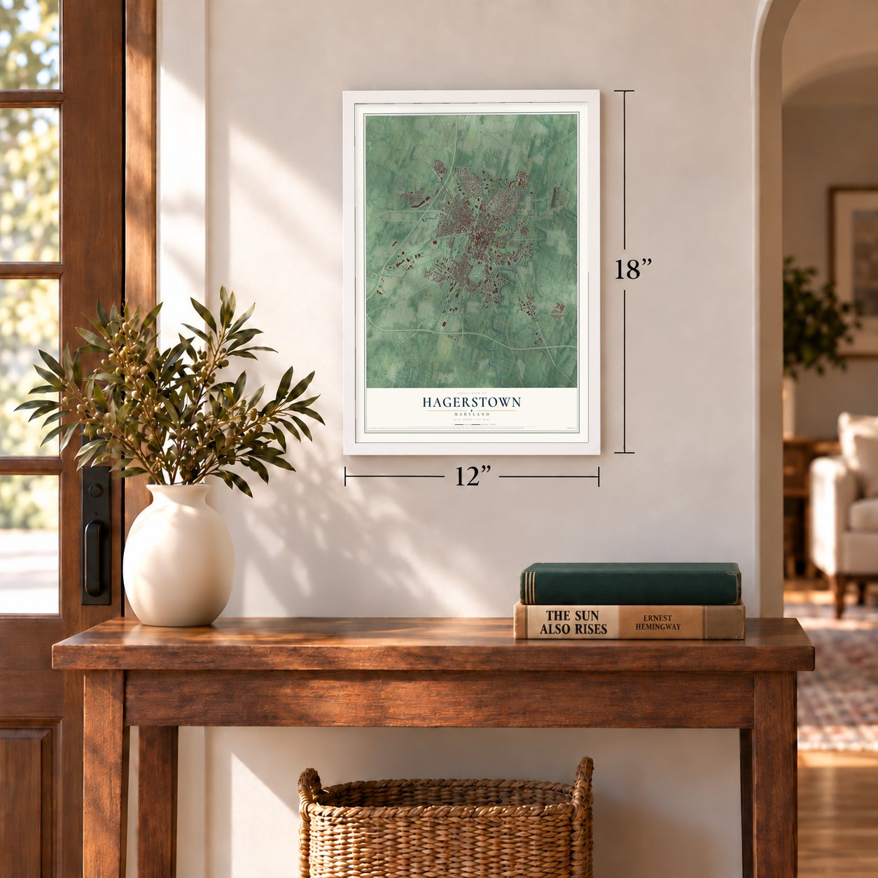
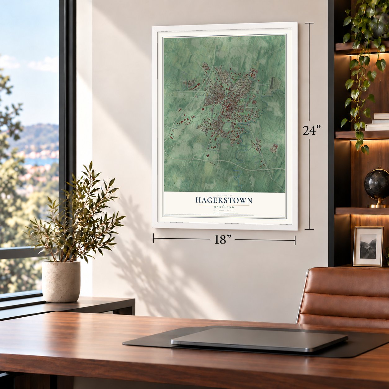
Three ways to hang it
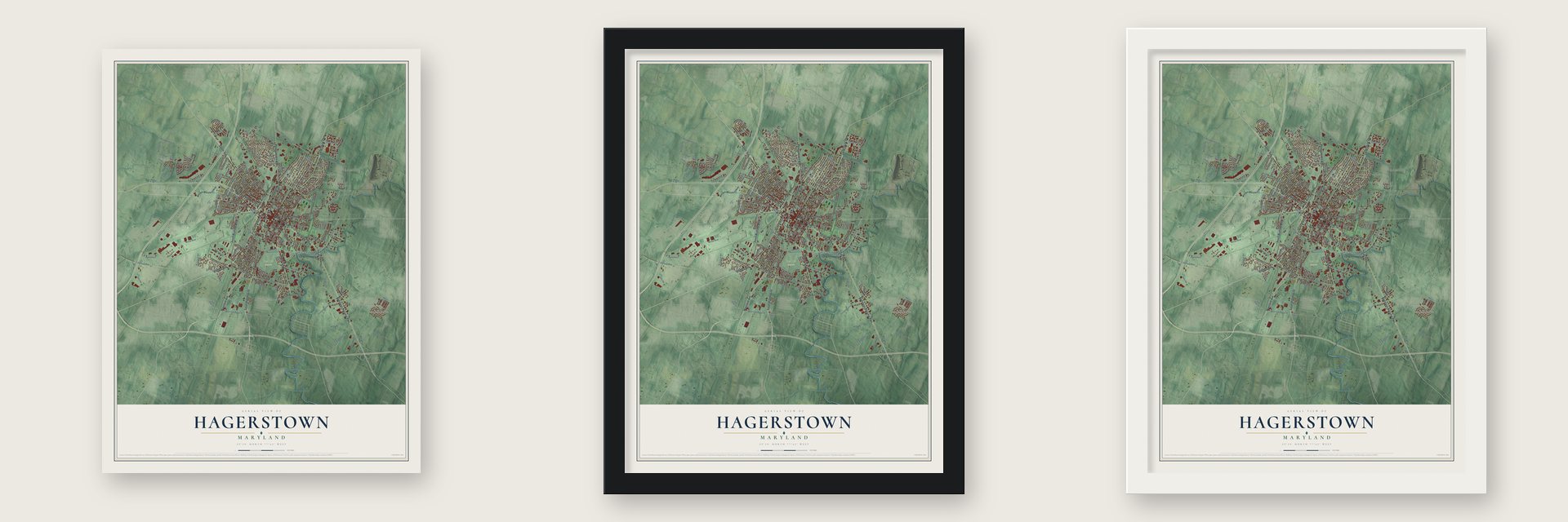
Unframed archival matte, a black wood frame or a white wood frame.
Up close
Geography Worth Displaying
This map was created using accurate cartographic data and authoritative geographic sources, including the U.S. Geological Survey and the Census Bureau. The map brings together terrain, waterways, roads, and building detail. The majority of the streets are labeled, houses are accurately depicted, and the topography is derived from government sources. Combining local data with carefully composed color and shading leads to this beautifully detailed Hagerstown artwork for your wall.
Rather than simply showing street outlines, we’ve included as many of the street names as we could reasonably fit on the map while keeping their names legible. Zoom in on the high resolution preview to see exactly what’s on the map. We truly set out to create a statement piece for anyone who loves Hagerstown. So whether it’s for you, or a gift for someone you love, we hope this map of Hagerstown brings back fond memories.
Read the story behind this map of Hagerstown, Maryland from 2026.

Find your street
Names on the Hagerstown map
Every name below is printed on this map. Look for your street, your school, the park where you played, or the pond down the road.
Places and landmarks16
- Hagerstown City Hall
- Londontowne
- Rose Hill Cemetery
- Carroll Heights
- Cedar Lawn
- Doub Meadow
- Edgewood Hill
- Fiddlesburg
- Frederick Manor
- Hamilton Park
- Hyde Park
- Potomac Heights
Show all 16 places
- Potomac Manor
- Security
- Vardo
- Wood Point
Streets and roads191
- South Burhans Boulevard
- Frederick Street
- North Burhans Boulevard
- Virginia Avenue
- South Potomac Street
- West Franklin Street
- Salem Avenue
- East Franklin Street
- Maryland Avenue
- Baltimore National Pike
- National Pike
- Dual Highway
- Leitersburg Pike
- Pennsylvania Avenue
- Eastern Boulevard
- West Church Street
- West Wilson Boulevard
- Potomac Avenue
- West Washington Street
- North Jonathan Street
- West Oak Ridge Drive
- Northern Avenue
- Bowman Avenue
- Ross Street
- Merrbaugh Drive
- Summit Avenue
- Eastern Boulevard North
- South Prospect Street
- Garland Groh Boulevard
- Wesel Boulevard
Show all 191 streets
- East Wilson Boulevard
- Oak Hill Avenue
- Hagers Crossing Drive
- Halfway Boulevard
- Broadfording Road
- Marshall Street
- Pangborn Boulevard
- McDade Road
- The Terrace
- Kenly Avenue
- Fallen Timbers Circle
- Security Road
- Hamilton Boulevard
- Woodland Way
- North Prospect Street
- Guilford Avenue
- Outer Drive
- Belview Avenue
- Mitchell Avenue
- Nottingham Road
- Noland Drive
- East Antietam Street
- Howell Road
- Devonshire Road
- East First Street
- Nittany Lion Circle
- Spruce Street
- Cortland Drive
- Forest Drive
- View Street
- Landis Road
- Hopewell Road
- Monet Drive
- Woodpoint Avenue
- Westwood Street
- Mill Street
- Terps Boulevard
- Haven Road
- Florida Avenue
- Manor Drive
- Main Avenue
- Hebb Road
- Linwood Road
- Eldridge Drive
- Pope Avenue
- Day Road
- Tracys Lane
- Ally
- Garlinger Avenue
- Emmert Road
- Bartow Drive
- East Avenue
- Kasinof Avenue
- All Star Court
- Highland Way
- Sweeney Drive
- Cole Road
- Jefferson Street
- Calvert Terrace
- Dewey Avenue
- Broadway
- May Street
- High Street
- Pine Street
- Railway Lane
- Opal Court
- Third Street
- Key Avenue
- Park Place
- Key Street
- Western Maryland Parkway
- South Edgewood Drive
- Key Circle
- Suter Avenue
- East Irvin Avenue
- Memorial Boulevard East
- West Irvin Avenue
- North Mulberry Street
- West Lee Street
- Indiana Avenue
- Mount Aetna Road
- Park Lane
- Little Elliott Drive
- South Cannon Avenue
- West Antietam Street
- Sherman Avenue
- Luther Drive
- South Locust Street
- South Mulberry Street
- Marion Street
- Lindsay Lane
- Langley Drive
- Brynwood
- Winter Street
- Willow Circle
- Ridge Avenue
- Wayne Avenue
- Daycotah Avenue
- Hood Street
- Kensington Drive
- Concord Street
- Oak Ridge Drive
- Oak Street
- Country Club Road
- Swann Road
- Sycamore Street
- Shale Drive
- Monroe Avenue
- Saint Clair Street
- Central Avenue
- Gemstone Drive
- Barton Drive
- Medway Road
- Cypress Street
- Star Drive
- Fitzhugh Court
- Atlanta Court
- Berner Avenue
- Basalt Way
- Claire Street
- Hayes Avenue
- Elgin Boulevard
- Conrad Court
- Tudor Drive
- Hager Street
- Park Avenue
- Papa Court
- Iris Court
- East Oak Ridge Drive
- Clean Water Circle
- Commonwealth Avenue
- Hawkins Circle
- Fairview Road
- Brinker Drive
- East Howard Street
- Bryan Place
- Wayside Avenue
- Downsville Road
- Water Street
- Hoosier Court
- Potter Bell Way
- Kilpatrick Court
- Kenwood Drive
- Beaver Creek Road
- Hollyhock Road
- Brill Way
- Vale Street
- Cameo Drive
- Court Place
- Dale Street
- East Washington Street
- Meridian Drive
- Sunbrook Lane
- Georgia Avenue
- Fairchild Avenue
- East Place
- North Walnut Street
- Madison Avenue
- Heister Street
- Carr Street
- Hump Road
Names are listed as they appear on the printed map. Zoom into the product photos to find them.
About Hagerstown, Maryland
Hagerstown is a city of 43,527 people and the seat of Washington County. Its founder, Jonathan Hager, was a German immigrant who came from Pennsylvania and served as a volunteer captain of scouts. In 1739 he bought 200 acres in the Great Appalachian Valley and named the land Hager's Fancy. In 1762 he laid out a town there and called it Elizabethtown, after his wife, Elizabeth Kershner.
Fourteen years later, Hager helped split Washington County off from Frederick County, and his town became the new county seat. That work earned him the title "father of Washington County." The town was incorporated in 1791. Most people already called it Hager's-Town, so the city council took that name in 1813, and the state legislature approved the change a year later.
“The Historic City Farmers Market is the oldest continuously operating farmers market in Maryland and is believed to be one of the oldest farmers markets in the country. Historical records suggest the market was established in 1773, predating the incorporation of the city of Hagerstown in 1791.”
- A ransom in 1864Hagerstown sat on the line between North and South and served as a staging area in four Civil War campaigns. On July 6, 1864, Confederate Gen. Jubal Early sent Brig. Gen. John McCausland into town with 1,500 cavalry. They demanded $20,000 and a large supply of clothing as payback for Union raids on Shenandoah Valley farms. On July 30 McCausland burned Chambersburg, Pennsylvania, after it failed to pay a ransom of $500,000.
- Little Heiskell, made 1769The weathervane called Little Heiskell is one of the best known symbols of Hagerstown. Benjamin Heiskell, a German tinsmith, made it in 1769. It is shaped like a Hessian soldier, and it carries his name.
- Why it's the Hub CityHagerstown got its nickname from the many railroads and roads that met here. The Western Maryland Railway, the Baltimore and Ohio, the Chesapeake and Ohio and the Cumberland Valley Railroad all served the city. An interurban trolley line, the Hagerstown Railway, ran from 1896 to 1947.
- 2,800 soldiers reburied in 1877After the war, Maryland and Virginia worked together to move Confederate dead from makeshift graves into proper cemeteries. In 1877 about 2,800 soldiers who fell at Antietam and South Mountain were reburied in Washington Confederate Cemetery, part of Rose Hill Cemetery in Hagerstown. Roughly 60% of the dead were never identified.
Keep exploring Maryland
Hagerstown is one of 877 Maryland towns we've mapped. Every dot on the map is a print of its own.
The search covers every state, Maryland first.
Near Hagerstown
Order 2 or more town maps and save 10%. Shown in the size and finish you picked above, so they hang as a set.
- Funkstown 12" x 18" / Archival Matte Print $39.99
- Halfway 12" x 18" / Archival Matte Print $39.99
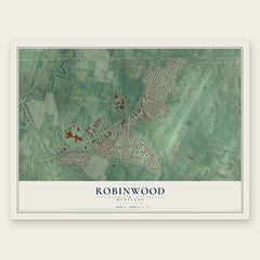
- Robinwood 12" x 18" / Archival Matte Print $39.99


More maps nearby: Paramount-Long Meadow, Fountainhead-Orchard Hills, Maugansville, St. James and Kemps Mill.
The art of mapping a place
How This Map Was Made
Real places. Remarkable detail. Discover the layers that turn geographic data into a map of home.

The view from above
Aerial imagery reveals the character of the land: woodland, open fields, and the patterns of a place.

The shape of the land
Elevation data brings hills, valleys, and subtle changes in the landscape into view.

The details of home
Roads, waterways, and building footprints come together to make the map feel unmistakably local.

Geography becomes art
Considered color, shading, and typography bring the layers together in a map made for your wall.


Process illustrated with Mendon, Massachusetts. Aerial imagery: USDA NAIP. Terrain: USGS 3D Elevation Program. Map details and finished artwork: KNOWOL.
The Details
About This Print
Choose an archival matte print, or a black or white Ayous wood frame. The archival matte print is unframed.
Select your size and finish above to see the matching product image and price.
Materials & Craftsmanship
A contemporary map with the character of a classic atlas, printed on archival matte paper. Optional frames are made from Ayous wood.
Your printed map does not include the watermark shown in the full-map preview.
Shipping & Delivery
Free shipping within the United States. Every print is made to order in the USA.
Buying a gift? Add a note in your cart and we'll include it. We never put prices in the package.
Prints ship within 2 to 3 business days. Allow 7 to 10 days total from ordering for delivery. Timing may vary during holidays or periods of high order volume.
Read our shipping policy.
Returns and damaged prints
Each print is made to order. Change-of-mind refunds are not available after production.
If your print arrives damaged, misprinted or incorrect, contact support@knowol.com within 30 days of receiving it. Include your order number, photos and a description of the issue.
Read our full refund and replacement policy. For questions about your order, email support@knowol.com.