
Search for another town
Free U.S. delivery 7 to 10 days after you order
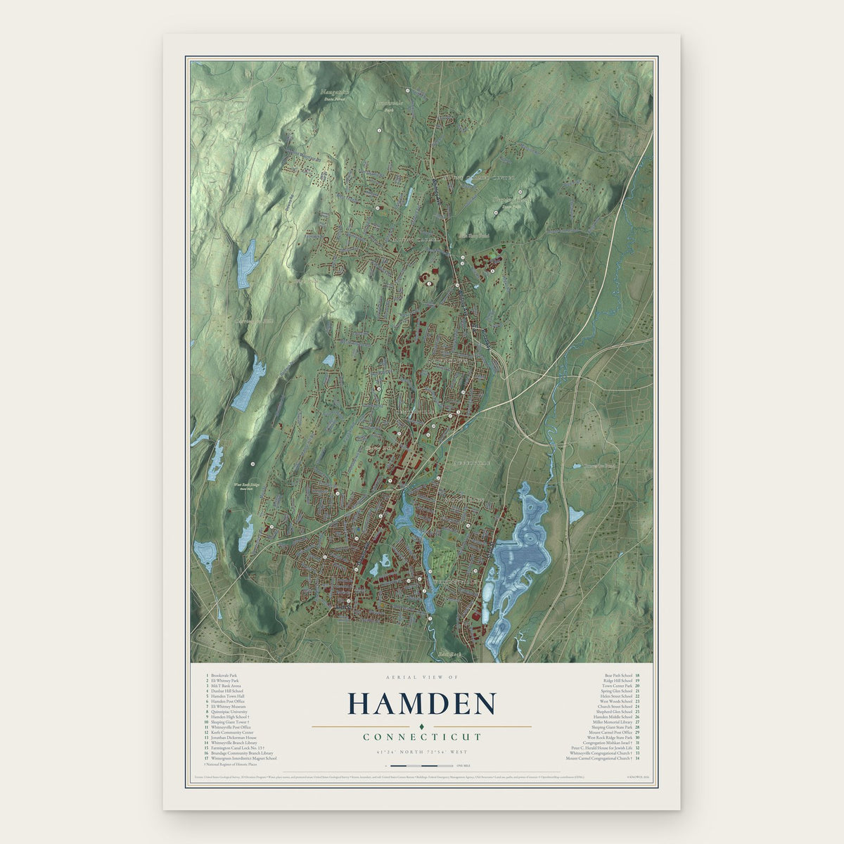
Hamden, Connecticut Map Art
Building by building, with labeled streets and shaded relief.
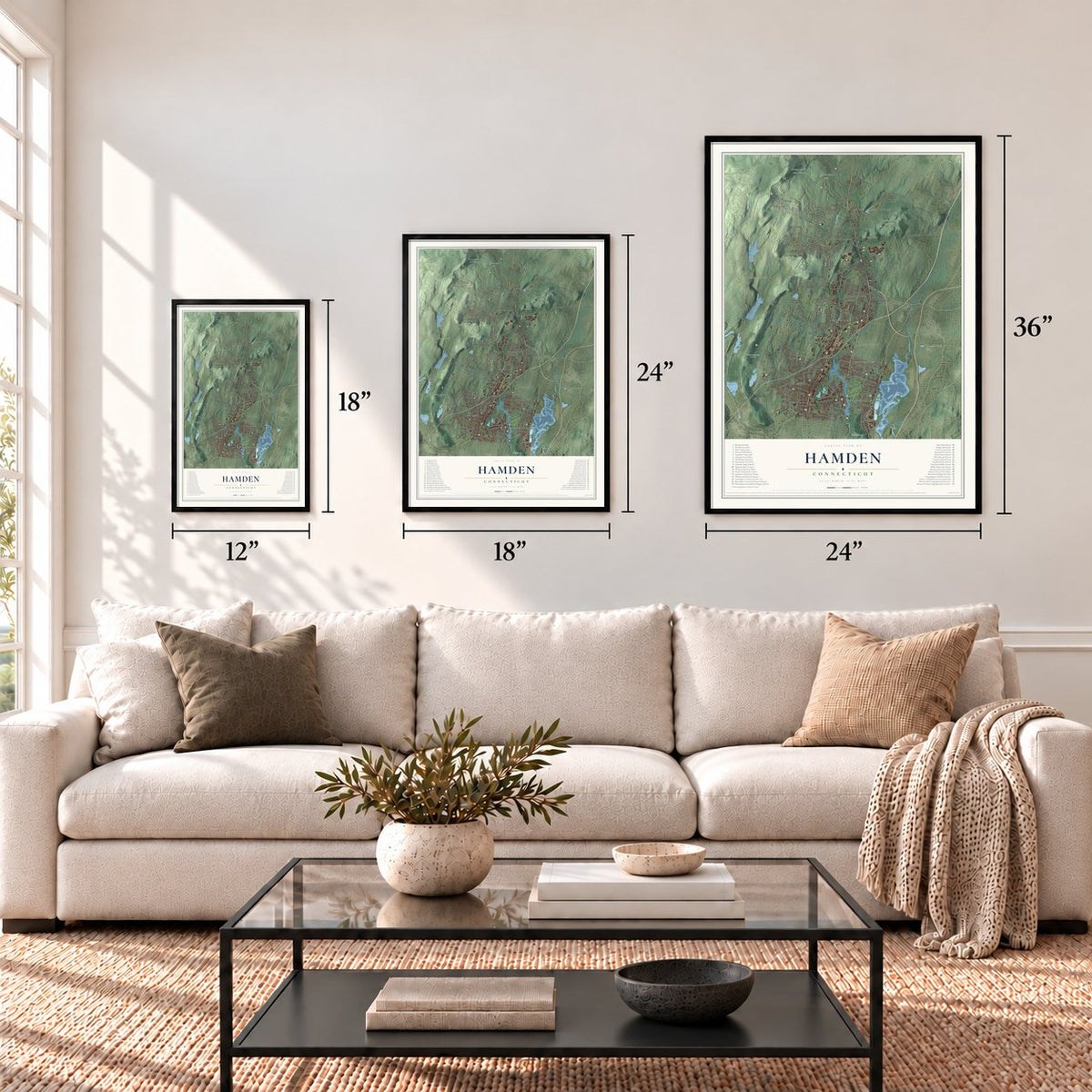
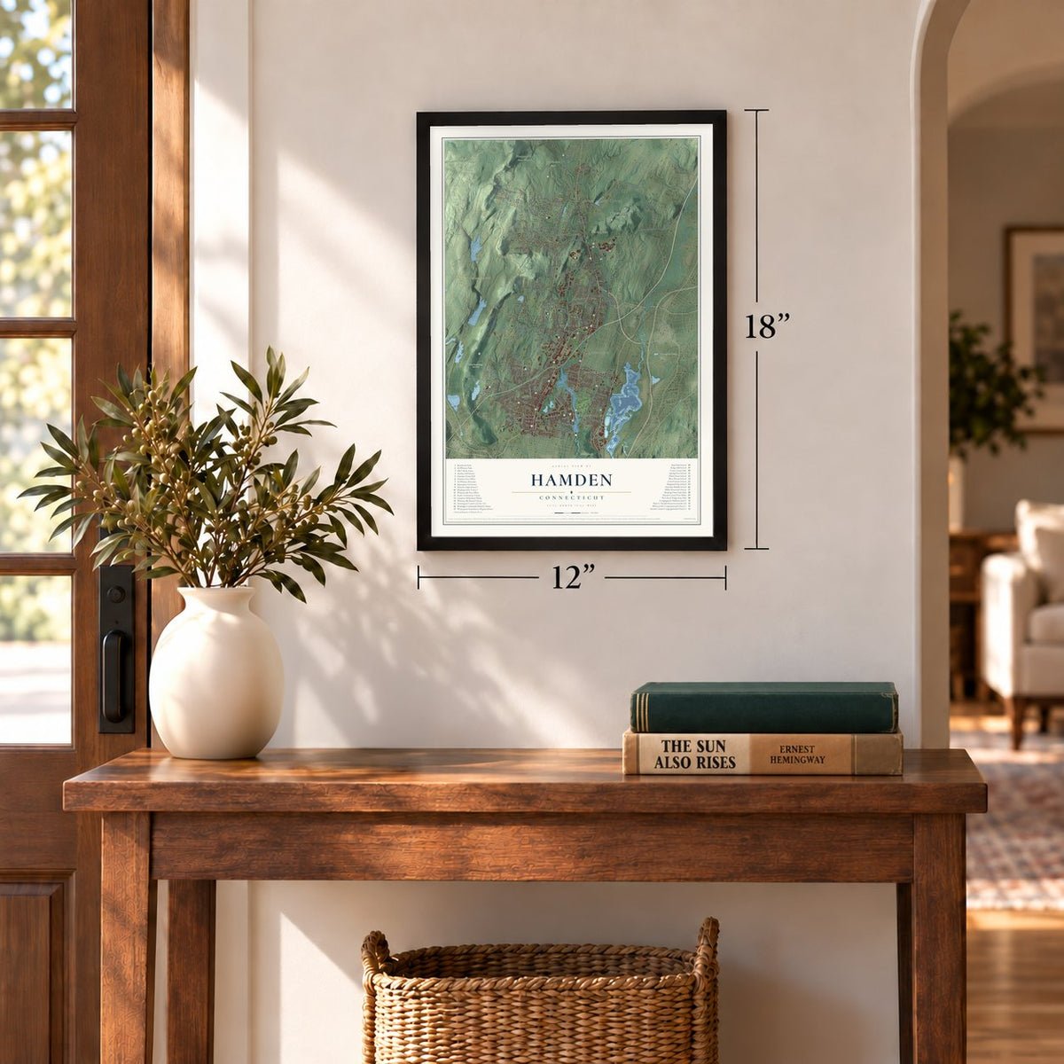
12" x 18" Archival Matte Print
A Map of Home. A Work of Art.
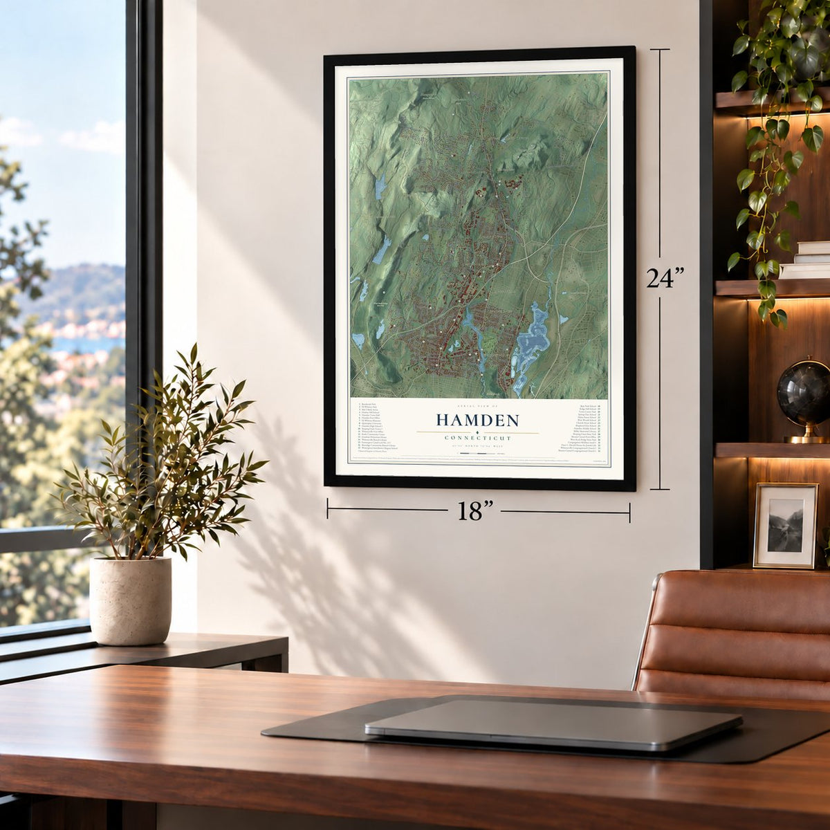
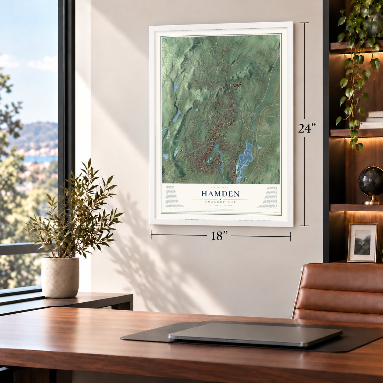
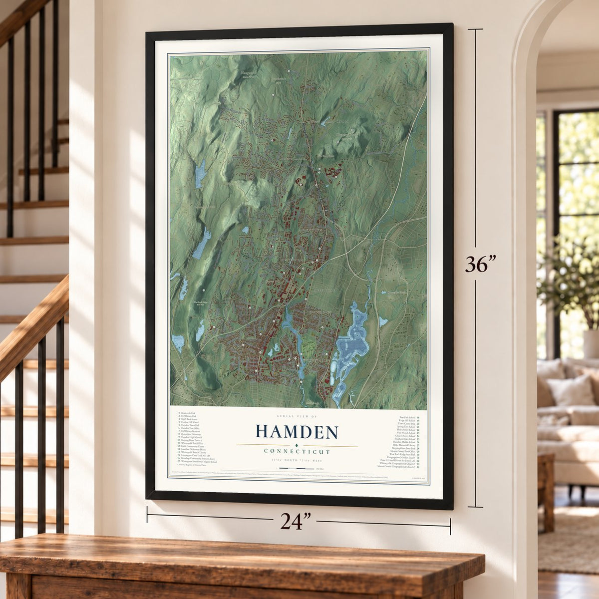
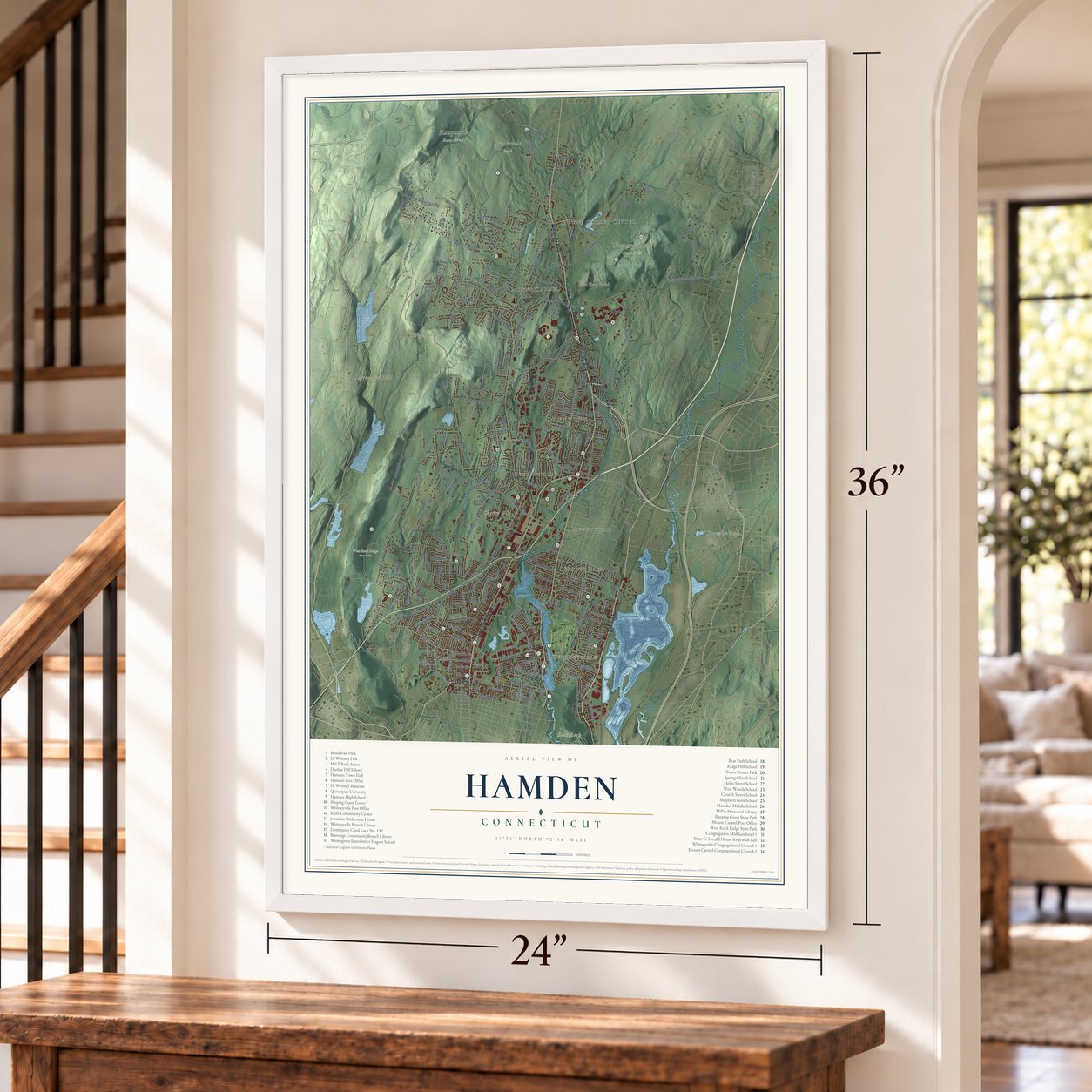
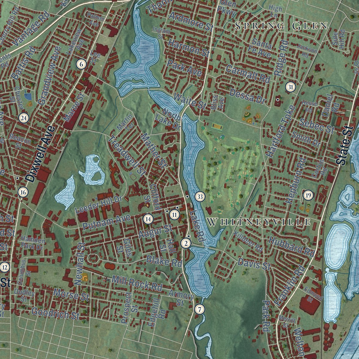
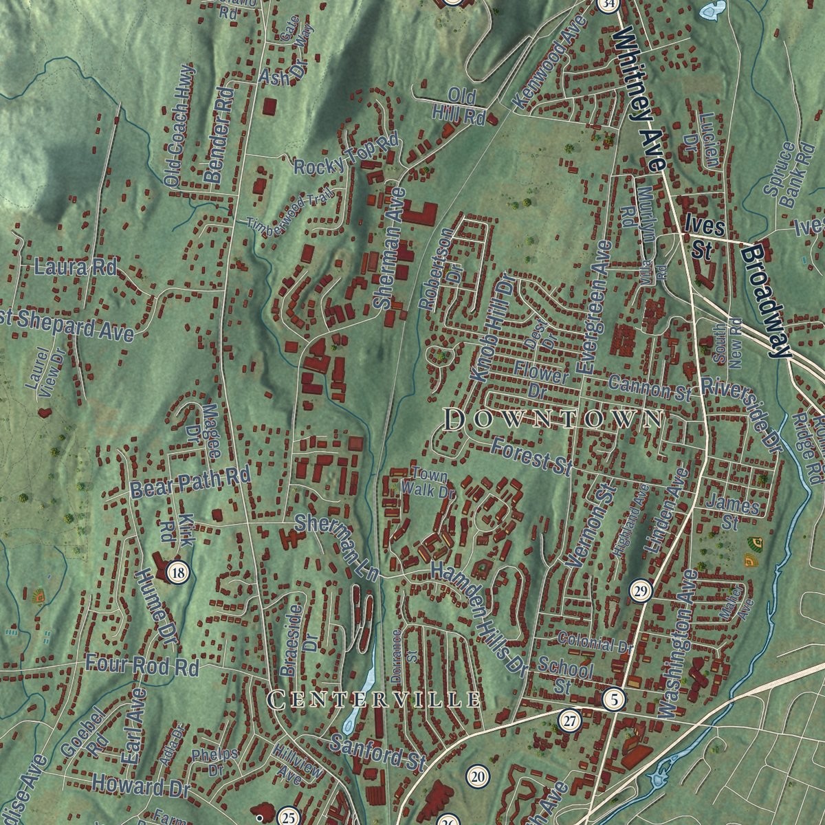
Explore Hamden, Connecticut from a whole new perspective. Created using aerial imagery and detailed geographic data, this map captures Hamden building by building, with labeled streets, familiar landmarks, and shaded topographical relief that highlights the natural contours of the landscape.
Combining modern data with the timeless character of a vintage atlas, this map is just as interesting up close as it is beautiful on the wall. Whether you grew up in Hamden, spent memorable years there, or call it home today, this unique map is a great way to celebrate a place that means something to you. Zoom in on the preview to look for your street, and then order a print to put your memories on the wall.

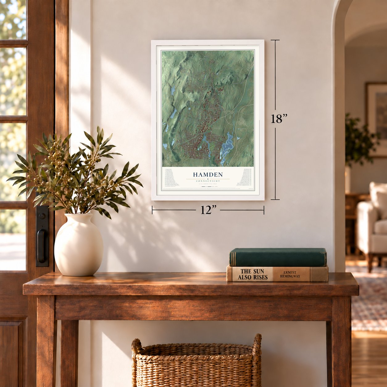
Three ways to hang it
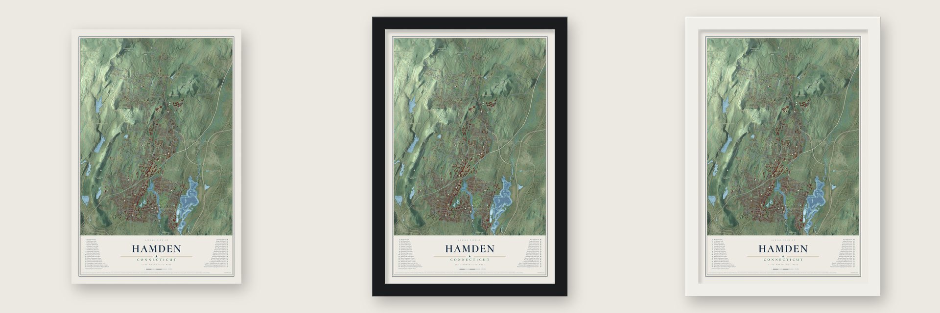
Unframed archival matte, a black wood frame or a white wood frame.
Up close
Geography Worth Displaying
This map was created using accurate cartographic data and authoritative geographic sources, including the U.S. Geological Survey (USGS) and FEMA. The map brings together terrain, waterways, roads, and building detail. The majority of the streets are labeled, houses are accurately depicted, and the topography is derived from government sources. Combining local data with carefully composed color and shading leads to this beautifully detailed Hamden artwork for your wall.
Rather than simply showing street outlines, we’ve included as many of the street names as we could reasonably fit on the map while keeping their names legible. Zoom in on the high resolution preview to see exactly what’s on the map. We truly set out to create a statement piece for anyone who loves Hamden. So whether it’s for you, or a gift for someone you love, we hope this map of Hamden brings back fond memories.
Explore the full map of Hamden, Connecticut and read about the local places it shows.
Find your street
Names on the Hamden map
Every name below is printed on this map. Look for your street, your school, the park where you played, or the pond down the road.
Places and landmarks17
- Downtown
- Carrington Hill
- Cherry Hill
- East Rock
- High Rock
- Axle Shop Pond
- Bruces Ice Pond
- Brooksvale Park
- Naugatuck State Forest
- Sleeping Giant State Park
- West Rock Ridge State Park
- Centerville
Show all 17 places
- Whitneyville
- Spring Glen
- Mount Carmel Center
- Augerville
- Mount Carmel
Streets and roads249
- Whitney Avenue
- Dixwell Avenue
- State Street
- Broadway
- Arch Street
- Shepard Avenue
- West Woods Road
- Woodin Street
- River Road
- Hamden Hills Drive
- Pine Rock Avenue
- Riverside Drive
- Baldwin Drive
- Mount Carmel Avenue
- Paradise Avenue
- Dunbar Hill Road
- Sherman Avenue
- Main Street
- Wintergreen Avenue
- Gaylord Mountain Road
- Still Hill Road
- Hartford Turnpike
- Ridge Road
- Benham Street
- Tuttle Avenue
- Evergreen Avenue
- Downs Road
- Hill Street
- Mountain Road
- West Todd Street
Show all 249 streets
- Circular Avenue
- West Shepard Avenue
- Putnam Avenue
- Mix Avenue
- Gilbert Avenue
- New Road
- Waite Street
- Mather Street
- Treadwell Street
- Howard Drive
- Denslow Hill Road
- Hillfield Road
- Hogan Road
- Morse Street
- Skiff Street
- Davis Street
- Forest Street
- Goodrich Street
- Augur Street
- Tom Swamp Road
- Belden Road
- Chestnut Lane
- Fairview Avenue
- Mill Rock Road
- Lane Street
- Blue Trail
- Battis Road
- Thornton Street
- Willow Street
- Grandview Avenue
- Russo Drive
- Ives Street
- Fans Rock Road
- Newhall Street
- Washington Avenue
- Deerfield Drive
- Park Road
- Todd Street
- Knob Hill Drive
- Autumn Ridge
- Choate Avenue
- Four Rod Road
- Helen Street
- Mansion Road
- Blake Road
- Hepburn Road
- Kings Highway
- Eramo Terrace
- Brook Street
- Hume Drive
- Welton Street
- West Side Drive
- Worth Avenue
- Cooper Lane
- Laura Road
- Bear Path Road
- Dessa Drive
- Carmalt Road
- Bradley Avenue
- Sebec Street
- Knoll Drive
- Bender Road
- Corene Drive
- Sanford Street
- Franklin Road
- Vantage Road
- Perry Road
- Hubbard Road
- Sherman Lane
- Earl Avenue
- Ursini Drive
- Second Street
- North Street
- Harmon Street
- Ardmore Street
- Vernon Street
- Fourth Street
- Park Avenue
- Lake Road
- James Street
- Brooksvale Avenue
- Leeder Hill Drive
- Rocky Top Road
- Kenwood Avenue
- Spruce Bank Road
- Richard Drive
- Bob Cat Way
- Sandquist Circle
- Santa Fe Avenue
- Mount Sanford Road
- Braeside Drive
- Talmadge Road
- Daniel Road
- Dunbar Lane
- Wilmot Road
- School Street
- Armory Street
- Partridge Crossing
- Old Coach Highway
- Clifford Street
- Glen Parkway
- Stanley Road
- Darley Drive
- Johnson Road
- Pembroke Road
- North Lake Drive
- Goebel Road
- Cannon Street
- Kaye Vue Drive
- White Drive
- Pearl Avenue
- Magee Drive
- Flower Drive
- Robertson Drive
- Norman Road
- Kirk Road
- Garvin Road
- Prospect Street
- Handy Road
- High Top Circle
- Oakwood Lane
- Linden Avenue
- Cherry Ann Street
- Chatterton Way
- Building Brook Road
- Marne Street
- Joyce Road
- Old Hill Road
- Murlyn Road
- Rolling Ridge Road
- Deer Hill Road
- Doolittle Lane
- Valley Road
- Dix Street
- Hodder Drive
- Lucien Drive
- Smith Drive
- Edgehill Road
- Midwood Court
- Kelly Road
- Ash Drive
- Dunn Road
- Peck Lane
- Rayzoe Terrace
- Giles Street
- Hall Street
- Brook Hill Road
- Norris Street
- Town Walk Drive
- Hamden Park Drive
- Calamus Meadow Road
- Corbin Road
- South New Road
- Lakeview Avenue
- Piper Road
- Hunters Way
- Cherry Hill Road
- Mueller Drive
- Colonial Drive
- Thomas Street
- Chester Street
- Gorham Drive
- Stonewall Drive
- Connolly Parkway
- Phelps Drive
- Arents Road
- Elmer Avenue
- Jones Road
- Laurel View Drive
- Beacon Street
- Farm Brook Court
- Killdeer Road
- Booth Terrace
- Martin Terrace
- Hillview Avenue
- High Ridge Road
- Julian Drive
- Post Falls Lane
- Troiano Road
- Dest Drive
- Quarry Lane
- October Hill Road
- Dudley Street
- High Lane
- Side Hill Road
- Lovig Lane
- Bliss Avenue
- Olds Street
- Lee Street
- Long Driveway
- Dorrance Street
- Timberwood Trail
- Kimberly Avenue
- Exeter Road
- Highland Avenue
- Hesse Road
- Busher Lane
- Deer Pond Trail
- Joseph Lane
- Jackson Road
- Skiff Street Extension
- North Woods Road
- Nicholas Court
- Columbus Street
- Adla Drive
- Country Hills Road
- Serafin Court
- Hill Top Road
- Edmund Street
- Gate Way
- Ingram Street
- Nature Trail
- Hunting Ridge
- Palmer Avenue
- Valerie Court
- Merritt Street
- Maher Avenue
- Blacy Street
- Villa Road
Names are listed as they appear on the printed map. Zoom into the product photos to find them.
About Hamden, Connecticut
Hamden is a town of 61,169 people in New Haven County, on New Haven's northern edge. In November 1638 the New Haven settlers bought a tract of 130 square miles from Montowese, chief of the Mattabesset, and that purchase took in the land that is Hamden today. Puritan farmers settled it as part of New Haven, and it stayed that way until 1786. That year 1,400 residents broke away as a town of their own, which they named for John Hampden, the English statesman, and the first town meeting gathered in the Mount Carmel congregation's meeting house.
Through the 1800s the Mill River powered a chain of mill villages. Henry Ives opened the Mount Carmel Axle Works in 1842, and the next fall Leverett Candee started producing rubber shoes at Centerville, licensed by Charles Goodyear. By 1850 part of Candee's business had moved to New Haven, and the New Haven Web Company later took over his old site. An 1895 magazine counted dams running south from Mount Carmel for axles, silk, brass, grain, webbing and augers, with workers' homes forming one long village through most of the town.
“This spot, which is two miles from New Haven, is admirably adapted for manufacturing purposes, and justly admired for the romantic beauty of its scenery.”
- Squire Whitney's armoryEli Whitney purchased Mill River land for a mill in 1798 and pledged 10,000 muskets to the government, even without a factory, workers or any experience making guns. His water-powered shop used interchangeable parts, and the stone houses built for his workers named Whitneyville. Neighbors called him Squire Whitney because he ran town meetings, audited the town's books and served as justice of the peace. Winchester bought the armory in 1888 and closed it after 90 years.
- A church with no fireAfter the Revolution, families in southern Hamden wanted a church nearer than New Haven. They met first at Captain Mix's house, then about 1793 built a plain meeting house that had no stove for years, even in the coldest weather. The church organized on August 18, 1795. In 1834 it moved to a Greek Revival building in Whitneyville, on land given by the Whitney family, and Rev. Austin Putnam, who came in 1838, served as pastor for 48 years.
- Boats on the Farmington CanalFrom 1825 to 1848, boats traveled north from New Haven through Hamden on the Farmington Canal, New England's longest at 86 miles, until the railroad took its business. When the canal came through in the 1820s, the Orrin Todd House was moved across the road to make room, and in 2016 local protest saved it from being torn down. Lock No. 13 still survives beside the trail that now follows the old canal route.
- A tower on the Giant's hipMount Carmel's founders named their village after nearby hills that called to mind the biblical Mount Carmel. Those hills form the Sleeping Giant, which a Quinnipiac story says is the spirit Hobbomock, put to sleep forever. In the 1930s the Works Progress Administration built the stone Sleeping Giant Tower on the Giant's left hip, the high point at 739 feet.
- Dr. King in 1961No Jewish congregation in Connecticut or anywhere else in New England is older than Congregation Mishkan Israel, founded in 1840 by New Haven families who came mostly from Bavaria. In 1960 it moved into a Modernist synagogue on Ridge Road designed by Fritz Nathan, and in 1961 Dr. Martin Luther King Jr. came to preach at its dedication.
Keep exploring Connecticut
Hamden is one of 375 Connecticut towns we've mapped. Every dot on the map is a print of its own.
The search covers every state, Connecticut first.
Near Hamden
Order 2 or more town maps and save 10%. Shown in the size and finish you picked above, so they hang as a set.
- Quinnipiac University 12" x 18" / Archival Matte Print $39.99
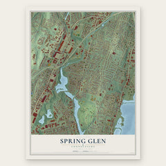
- Spring Glen 12" x 18" / Archival Matte Print $39.99
- North Haven 12" x 18" / Archival Matte Print $39.99


More maps nearby: Bethany, Newhallville, Woodbridge, Beaver Hills and Prospect Hill.
The art of mapping a place
How This Map Was Made
Real places. Remarkable detail. Discover the layers that turn geographic data into a map of home.

The view from above
Aerial imagery reveals the character of the land: woodland, open fields, and the patterns of a place.

The shape of the land
Elevation data brings hills, valleys, and subtle changes in the landscape into view.

The details of home
Roads, waterways, and building footprints come together to make the map feel unmistakably local.

Geography becomes art
Considered color, shading, and typography bring the layers together in a map made for your wall.


Process illustrated with Mendon, Massachusetts. Aerial imagery: USDA NAIP. Terrain: USGS 3D Elevation Program. Map details and finished artwork: KNOWOL.
The Details
About This Print
Choose an archival matte print, or a black or white Ayous wood frame. The archival matte print is unframed.
Select your size and finish above to see the matching product image and price.
Materials & Craftsmanship
A contemporary map with the character of a classic atlas, printed on archival matte paper. Optional frames are made from Ayous wood.
Your printed map does not include the watermark shown in the full-map preview.
Shipping & Delivery
Free shipping within the United States. Every print is made to order in the USA.
Buying a gift? Add a note in your cart and we'll include it. We never put prices in the package.
Prints ship within 2 to 3 business days. Allow 7 to 10 days total from ordering for delivery. Timing may vary during holidays or periods of high order volume.
Read our shipping policy.
Returns and damaged prints
Each print is made to order. Change-of-mind refunds are not available after production.
If your print arrives damaged, misprinted or incorrect, contact support@knowol.com within 30 days of receiving it. Include your order number, photos and a description of the issue.
Read our full refund and replacement policy. For questions about your order, email support@knowol.com.