
Search for another town

Free U.S. delivery 7 to 10 days after you order
Harleysville, Pennsylvania Map Art
Building by building, with labeled streets and shaded relief.
12" x 18" Archival Matte Print
A Map of Home. A Work of Art.
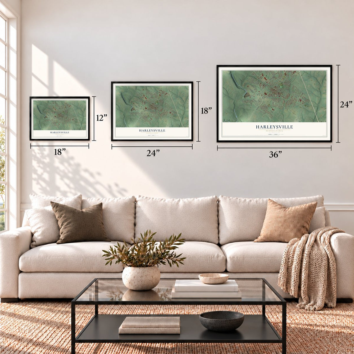
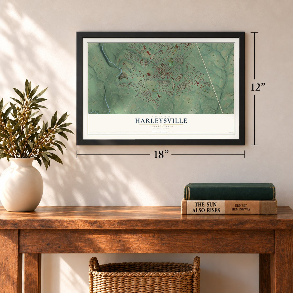
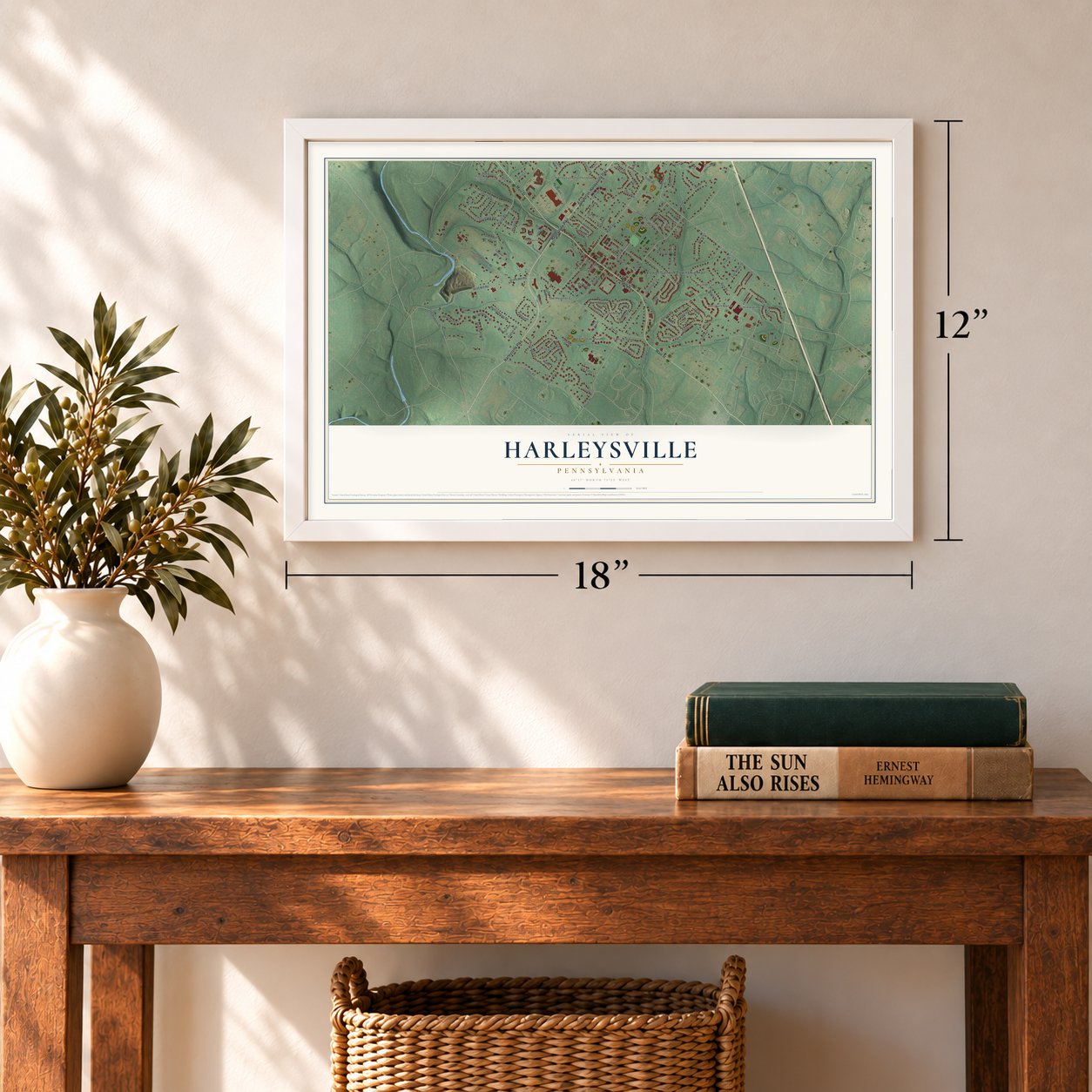
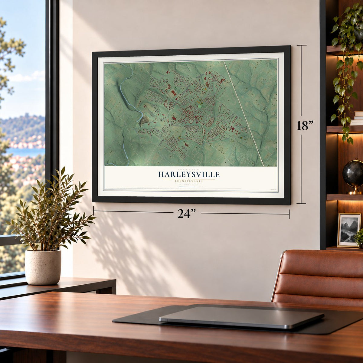
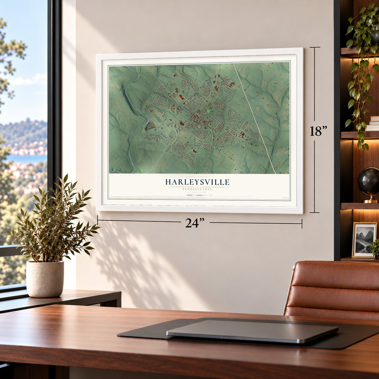
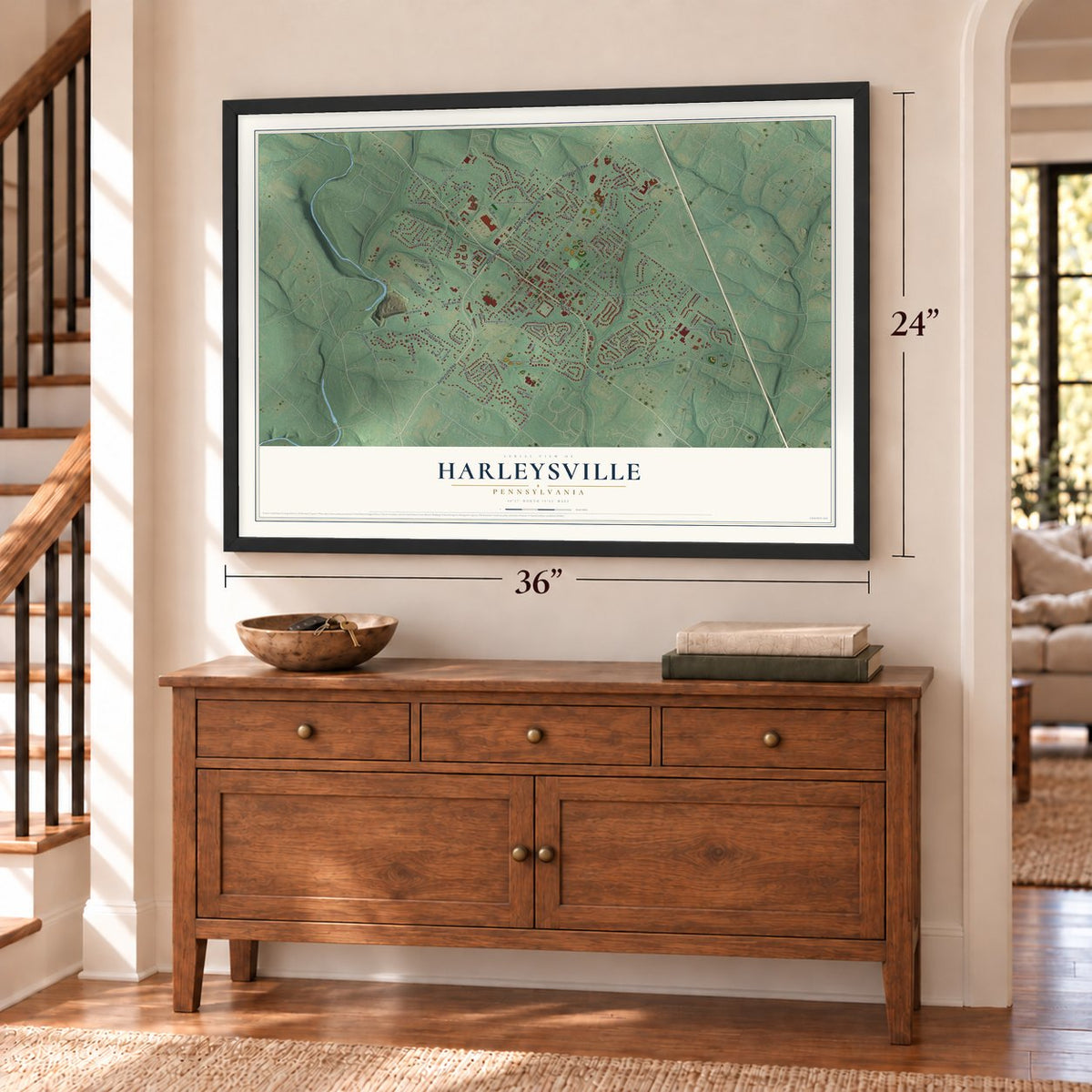
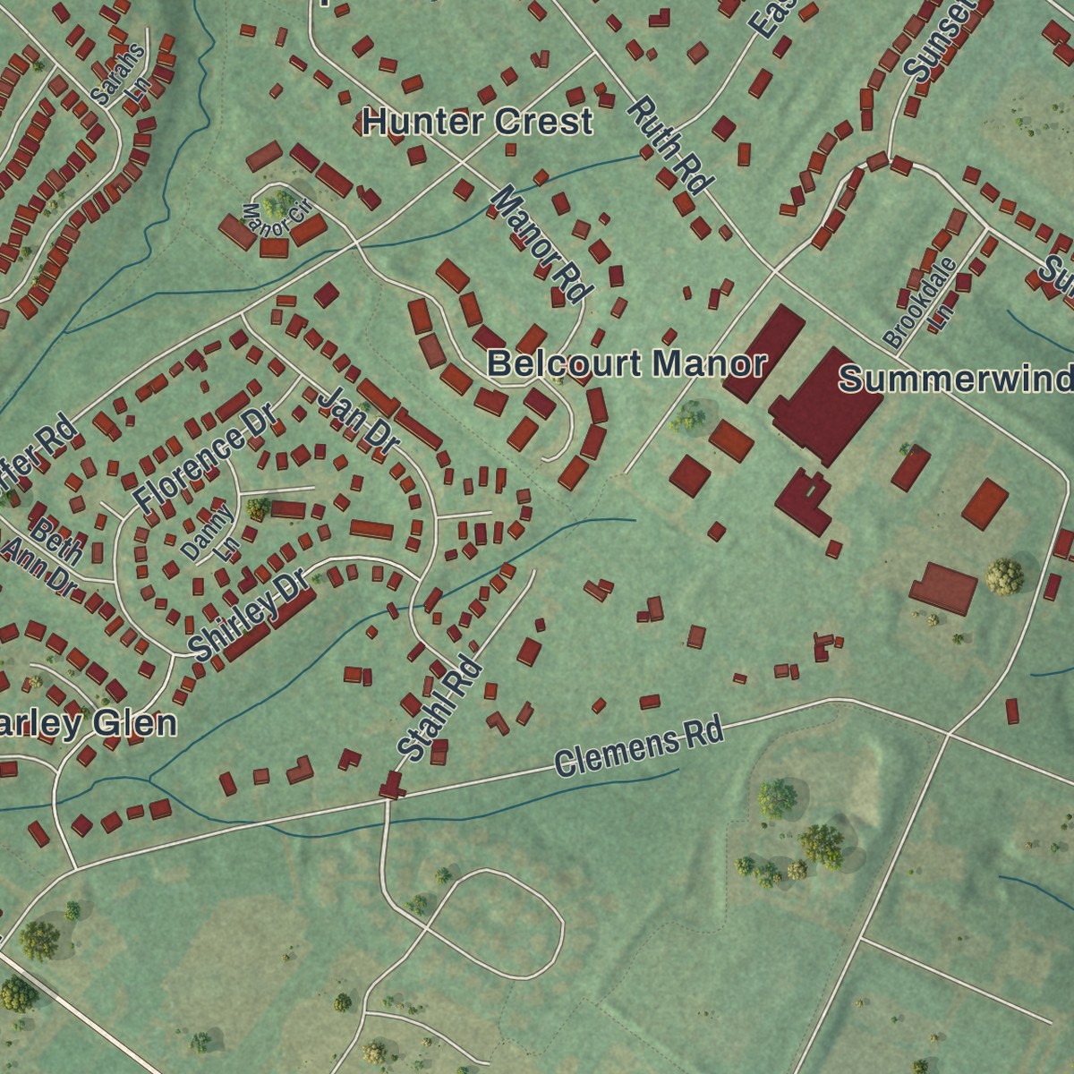
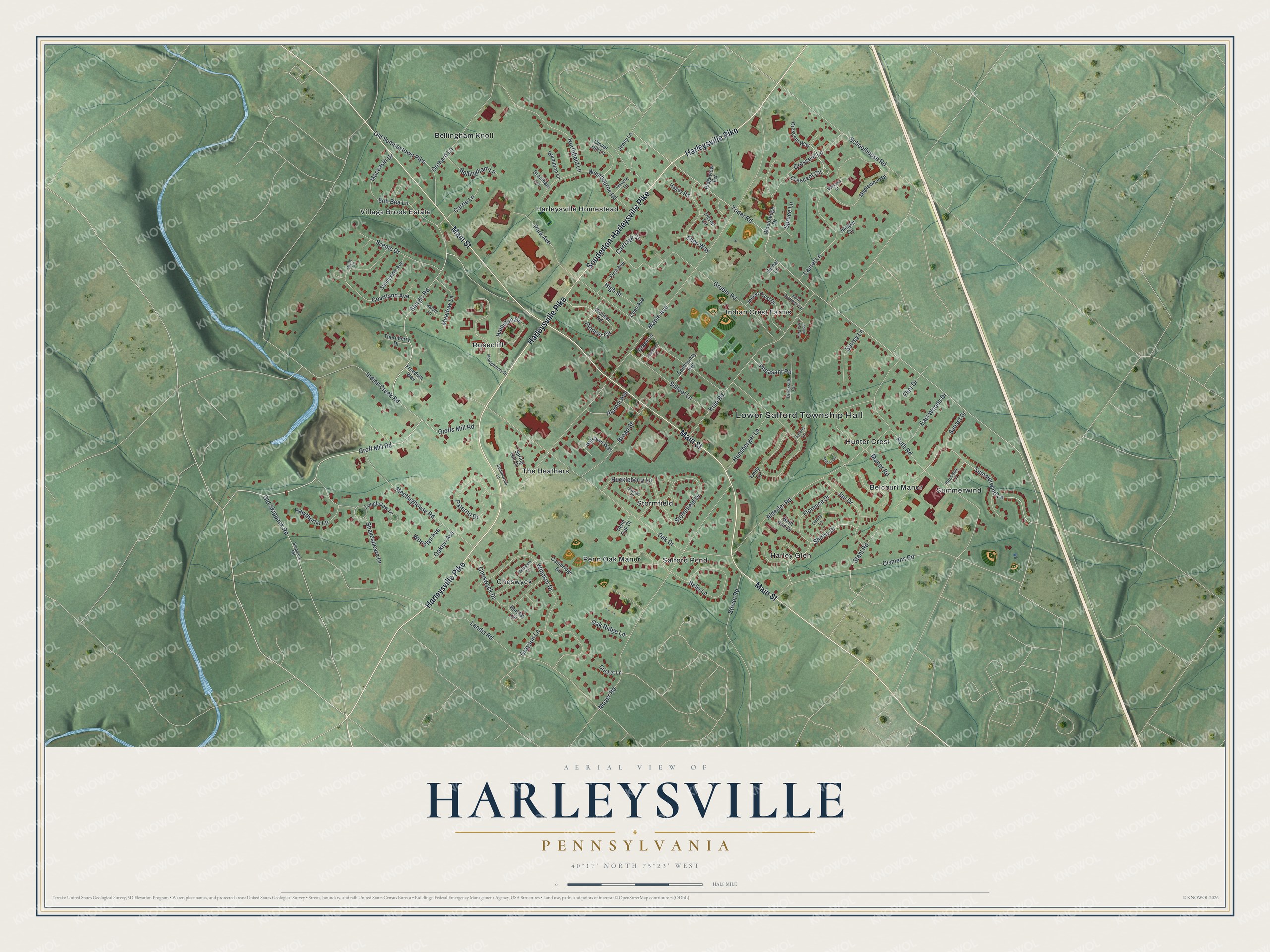
Explore Harleysville, Pennsylvania from a whole new perspective. Created using aerial imagery and detailed geographic data, this map captures Harleysville building by building, with labeled streets, familiar landmarks, and shaded topographical relief that highlights the natural contours of the landscape.
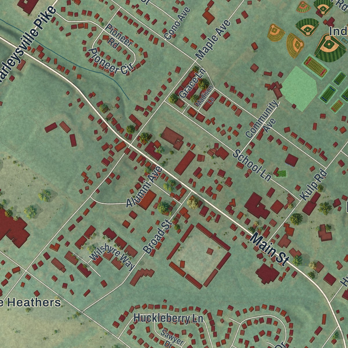
Combining modern data with the timeless character of a vintage atlas, this map is just as interesting up close as it is beautiful on the wall. Whether you grew up in Harleysville, spent memorable years there, or call it home today, this unique map is a great way to celebrate a place that means something to you. Zoom in on the preview to look for your street, and then order a print to put your memories on the wall.
Three ways to hang it
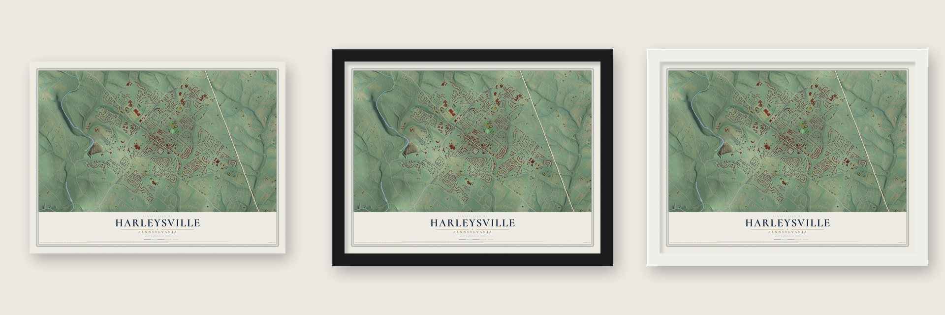
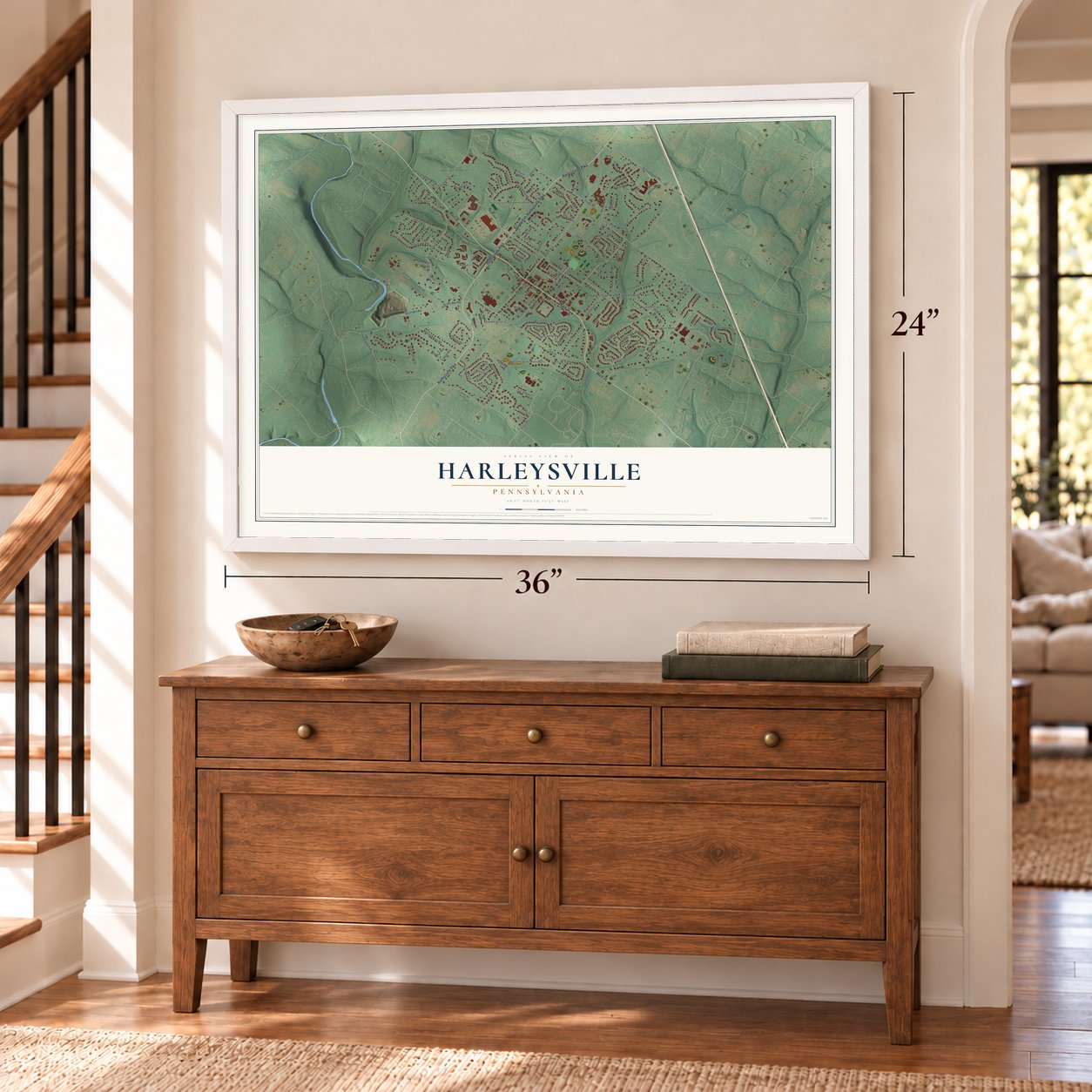
Unframed archival matte, a black wood frame or a white wood frame.
Up close
Geography Worth Displaying
This map was created using accurate cartographic data and authoritative geographic sources, including the U.S. Geological Survey and the Census Bureau. The map brings together terrain, waterways, roads, and building detail. The majority of the streets are labeled, houses are accurately depicted, and the topography is derived from government sources. Combining local data with carefully composed color and shading leads to this beautifully detailed Harleysville artwork for your wall.
Rather than simply showing street outlines, we’ve included as many of the street names as we could reasonably fit on the map while keeping their names legible. Zoom in on the high resolution preview to see exactly what’s on the map. We truly set out to create a statement piece for anyone who loves Harleysville. So whether it’s for you, or a gift for someone you love, we hope this map of Harleysville brings back fond memories.
Read the story behind this map of Harleysville, Pennsylvania from 2026.

Find your street
Names on the Harleysville map
Every name below is printed on this map. Look for your street, your school, the park where you played, or the pond down the road.
Places and landmarks15
- Lower Salford Township Hall
- Cheswyck
- Bellingham Knoll
- Summerwind
- Salford Pond
- Indian Crest Farms
- Rosecliff
- Village Brook Estate
- The Heathers
- Harley Glen
- Hunter Crest
- Harleysville Homestead
Show all 15 places
- Stormfield
- Belcourt Manor
- Penn Oak Manor
Streets and roads116
- Harleysville Pike
- Souderton-Harleysville Pike
- Main Street
- Groff Mill Road
- Summerwind Lane
- Crescent Circle
- Yoder Road
- Sturgis Road
- Old Sumneytown Pike
- Maple Avenue
- Park Avenue
- Landis Road
- Kulp Road
- Oak Drive
- Moyer Road
- Clemens Road
- Ruth Road
- Gruber Road
- Alderfer Road
- Manor Road
- Indian Creek Road
- Meetinghouse Road
- Florence Drive
- Schoolhouse Road
- Stormfield Drive
- Courtland Avenue
- Broad Street
- Windsor Drive
- Northfield Lane
- Shakespeare Drive
Show all 116 streets
- Grayson Lane
- Belle Lane
- Crescent Lane
- Pioneer Circle
- Paterno Drive
- Bob Bea Lane
- Orchard Lane
- Cheswyck Drive
- Westbourne Road
- Shirley Drive
- Hamilton Drive
- Laurel Lane
- Stahl Road
- School Lane
- Scenic Drive
- Ellen Way
- Jan Drive
- Oak Ridge Lane
- Old Skippack Road
- Huckleberry Lane
- Hunsberger Lane
- East Woods Drive
- Bellingham Lane
- Groffs Mill Road
- Surrey Lane
- Meadow Lane
- Hawthorne Lane
- Carrie Lane
- Moccasin Drive
- Stover Road
- Alumni Avenue
- High Street
- Woodlyn Avenue
- Spruce Lane
- Pheasant Road
- Sunset Drive
- Oaklyn Avenue
- Carriage Court
- Flint Drive
- Crescent Way
- Maplewood Drive
- Pioneer Road
- Indian Crest Drive
- Woodsedge Drive
- Longfellow Lane
- Sunnyside Avenue
- Clover Hill Lane
- Jenny Lane
- First Avenue
- Grace Lane
- Community Avenue
- Cambridge Circle
- Wilshyre Way
- Spring Hill Drive
- Brampton Lane
- Beth Ann Drive
- Penn Oak Court
- Thornberry Drive
- Cricket Lane
- Hagey Road
- Ridgeview Est
- Juniper Circle
- Freedom Way
- Grantham Lane
- Cono Avenue
- Barclay Circle
- Devon Circle
- Vernal Lane
- Emily Lane
- Montgomery Drive
- Skippack Road
- Sawyer Drive
- Brookside Circle
- Harper Lane
- Summerhill Lane
- Saint Andrews Lane
- Danny Lane
- Waverly Lane
- Brookdale Lane
- Sarahs Lane
- Holly Circle
- Magnolia Court
- Manor Circle
- Indian Crest Way
- Berkshire Circle
- Madison Lane
Names are listed as they appear on the printed map. Zoom into the product photos to find them.
About Harleysville, Pennsylvania
Harleysville is a community of 9,899 people in Montgomery County, mostly in Lower Salford Township and partly in Franconia Township. In 1717 the surveyor David Powell received three thousand acres between Skippack Creek and a branch of the Perkiomen, and he began selling it off to settlers. Henry Ruth bought 200 acres in February 1718, and by 1741 enough families, mostly of German or Swiss descent, had arrived to form Lower Salford Township.
In 1735 a road opened from present Sumneytown down through the township toward Gwynedd, and farmers used it to haul their produce to Philadelphia. During the Revolution the only house here belonged to Nicholas Schwenk, a blacksmith. About 1790 Samuel Harley built a tavern and store beside the road, and the place took his name. His son Abraham later owned the property and hosted township elections there. In 1840 Abraham won a post office for the village, so people no longer rode five miles to Sumneytown for their mail.
- An inn at a springTraffic on the 1735 road soon brought inns to Lower Salford. Some time before 1750, John Isaac Klein kept one in the lower part of what is now Harleysville, beside a spring that never failed, where travelers bound for Philadelphia could stop.
- The Klein MeetinghouseThe Church of the Brethren built the Klein Meetinghouse in 1843 on land first settled in 1720. Its plain design reflects the simple style of Brethren worship, and the building joined the National Register in 1973.
- Apple Butter Frolic since 1974Mennonite and Brethren families have been part of Harleysville's life since early in the 18th century, and the Mennonite teacher Christopher Dock taught here in the 1730s. Many local families kept speaking German at home until the 20th century was well along. Their story is kept at the Mennonite Heritage Center, which holds fraktur, quilts and family records. Every autumn since 1974 the center has held the Apple Butter Frolic, where volunteers cook apple butter in copper kettles.
- Bank, insurer and fire companyHarleysville stayed a small farm village through the 19th century. The Harleysville National Bank was chartered in 1915, and Harleysville Insurance was founded here in 1917. The insurer kept its headquarters in town until Nationwide Mutual bought it in 2012. Residents also formed the Harleysville Fire Company in 1921.
Keep exploring Pennsylvania
Harleysville is one of 3,725 Pennsylvania towns we've mapped. Every dot on the map is a print of its own.
The search covers every state, Pennsylvania first.
Near Harleysville
Order 2 or more town maps and save 10%. Shown in the size and finish you picked above, so they hang as a set.
- Vernfield 12" x 18" / Archival Matte Print $39.99
- Lower Salford 12" x 18" / Archival Matte Print $39.99
- Franconia 12" x 18" / Archival Matte Print $39.99
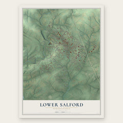

More maps nearby: Upper Salford, Kulpsville, Towamencin, Salford and Souderton.
The art of mapping a place
How This Map Was Made
Real places. Remarkable detail. Discover the layers that turn geographic data into a map of home.

The view from above
Aerial imagery reveals the character of the land: woodland, open fields, and the patterns of a place.

The shape of the land
Elevation data brings hills, valleys, and subtle changes in the landscape into view.

The details of home
Roads, waterways, and building footprints come together to make the map feel unmistakably local.

Geography becomes art
Considered color, shading, and typography bring the layers together in a map made for your wall.


Process illustrated with Mendon, Massachusetts. Aerial imagery: USDA NAIP. Terrain: USGS 3D Elevation Program. Map details and finished artwork: KNOWOL.
The Details
About This Print
Choose an archival matte print, or a black or white Ayous wood frame. The archival matte print is unframed.
Select your size and finish above to see the matching product image and price.
Materials & Craftsmanship
A contemporary map with the character of a classic atlas, printed on archival matte paper. Optional frames are made from Ayous wood.
Your printed map does not include the watermark shown in the full-map preview.
Shipping & Delivery
Free shipping within the United States. Every print is made to order in the USA.
Buying a gift? Add a note in your cart and we'll include it. We never put prices in the package.
Prints ship within 2 to 3 business days. Allow 7 to 10 days total from ordering for delivery. Timing may vary during holidays or periods of high order volume.
Read our shipping policy.
Returns and damaged prints
Each print is made to order. Change-of-mind refunds are not available after production.
If your print arrives damaged, misprinted or incorrect, contact support@knowol.com within 30 days of receiving it. Include your order number, photos and a description of the issue.
Read our full refund and replacement policy. For questions about your order, email support@knowol.com.